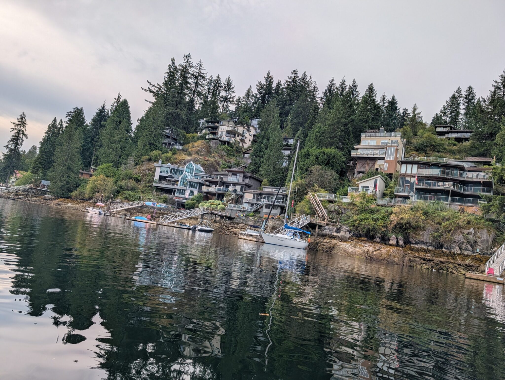



Four days, about 1,300 km each way, and the lakes we’d been planning to see since our very first days in Canada.
Just about anyone who’s ever heard of Canada has heard of its national parks in Alberta and British Columbia. We were no different — we knew about them before we even moved here, and seeing these mountains in person was something like the top item on our bucket list. For us it was the next big step after our Riga-to-Transfăgărășan road trip, so we started planning the Rockies almost from our first weeks in the new country.
I’ll be honest from the start: we knew right away that one trip wouldn’t be enough. You’d have to have no respect for yourself to think a week or two could show you all those hundreds of kilometres of lakes, glaciers and passes. So for this first go we deliberately narrowed our ambitions — Banff and a few neighbouring spots in Yoho and Jasper — no galloping through, just enough time to do each place justice. The Canada Strong Pass made planning easier: in summer it gave free entry to the parks, so no fuss over permits. It’s back for 2026 as the Canada Strong Pass — which is exactly when we plan to catch what we missed.
And the single most important tip of the whole trip, worth learning before you leave: book your lodging early. If you dream of staying right by Banff and having it be a “wow,” people do that six months out, sometimes more; the best places vanish fast. We booked just a month ahead, so we found something good but a fair way from the action — a camper in the tiny village of Waiparous. Getting ahead of myself: that turned out to be not a drawback but maybe the best decision of the trip.
Day 1: a night departure and endless prairie
Vacation is short, so we chose to leave at night — and honestly, we prefer it: empty roads, no traffic, and you wake up closer to the mountains. We didn’t manage to sleep beforehand — nerves, maybe, or just restlessness — but that’s never stopped us. At 2 a.m. we set off toward Brandon.
Let’s be honest: nearly the whole road from Winnipeg to Calgary is flat prairie with little to look at. We didn’t plan long stops, but one rule is worth keeping on a haul like this: always take breaks to rest, even when you feel fine. Microsleep at the wheel on a straight, monotonous road is the real danger on drives like this — far more real than any bear up ahead.
Our first coffee was in Brandon around 4 a.m., still dark. And here the car threw us a curveball — the oil-level light came on. For a moment it was worrying: no one wants a trip to start with a breakdown. We stopped, checked — seemed fine — drove on, and 100 km later it lit up again. By then it was light enough to see the level was slightly above max, and it clicked: we’d had the oil changed before leaving, and they’d overfilled it a touch. Thanks to my father and the experience he handed down to me early on, I didn’t panic — the excess was a couple of millimetres (odd that the system flags such a small thing with a dash warning).
We decided to deal with it in Regina, the capital of Saskatchewan. Here, incidentally, the prairie finally came alive: the first hills and dips, which after utterly flat Manitoba felt almost like mountain scenery. We could have left it, but the blinking icon was fraying my nerves, so we waited for a store to open, bought a medical syringe and a length of tubing, let the engine cool, and carefully drew off the small excess through the dipstick tube until the level sat right. The warning went out and never came back. One caveat: don’t improvise this blind — only attempt it if you know what you’re doing.
Then came short coffee stops and a longer break in Medicine Hat, now in Alberta — a big gas station, a snack, a leg-stretch; I even dozed for thirty minutes, which helped more than I expected. Our second-to-last stop was Cochrane, a charming foothills town just past Calgary that many travellers treat as the “gateway” to the Rockies. Here we stocked up on groceries and, crucially, bear spray. Don’t cut corners on safety — yours or the animals’. It’s sold at Canadian Tire and other stores, and canisters vary by brand, size and — importantly — spray range (usually five to nine metres). Get one with good reach, carry it on your body rather than in your pack (fumbling in a backpack the moment you meet a bear is too late), and learn how to use it beforehand. A small thing worth knowing: they’ll record your details — name, address — at purchase. And note: spray isn’t “bear cologne” you spritz on your gear; it’s a last-second defence. The real safety is making noise on the trail and never leaving food out.
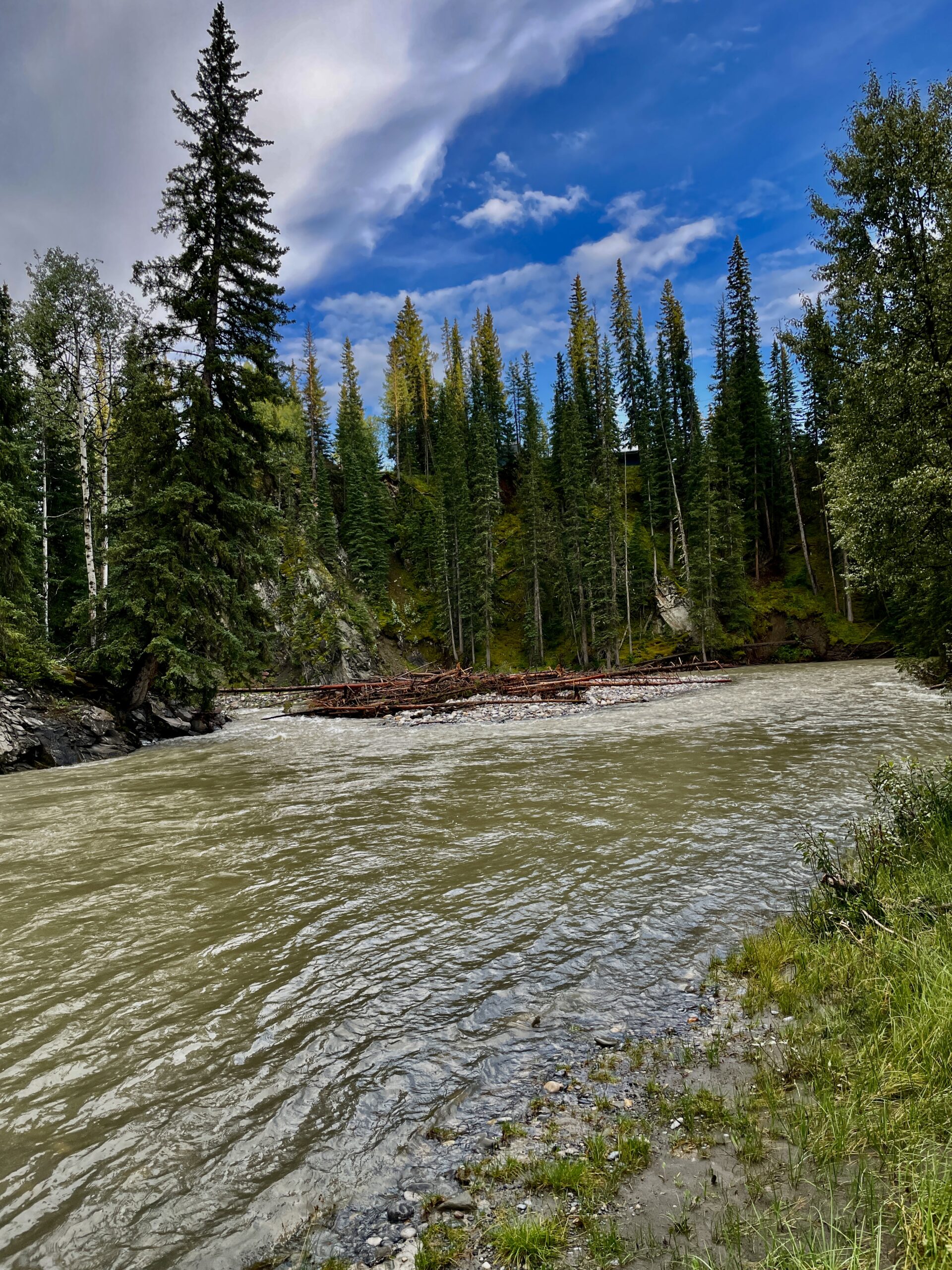
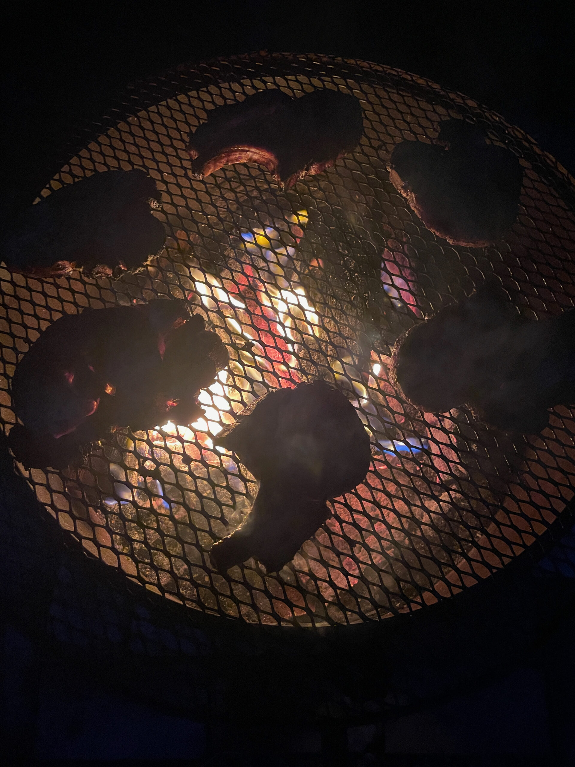
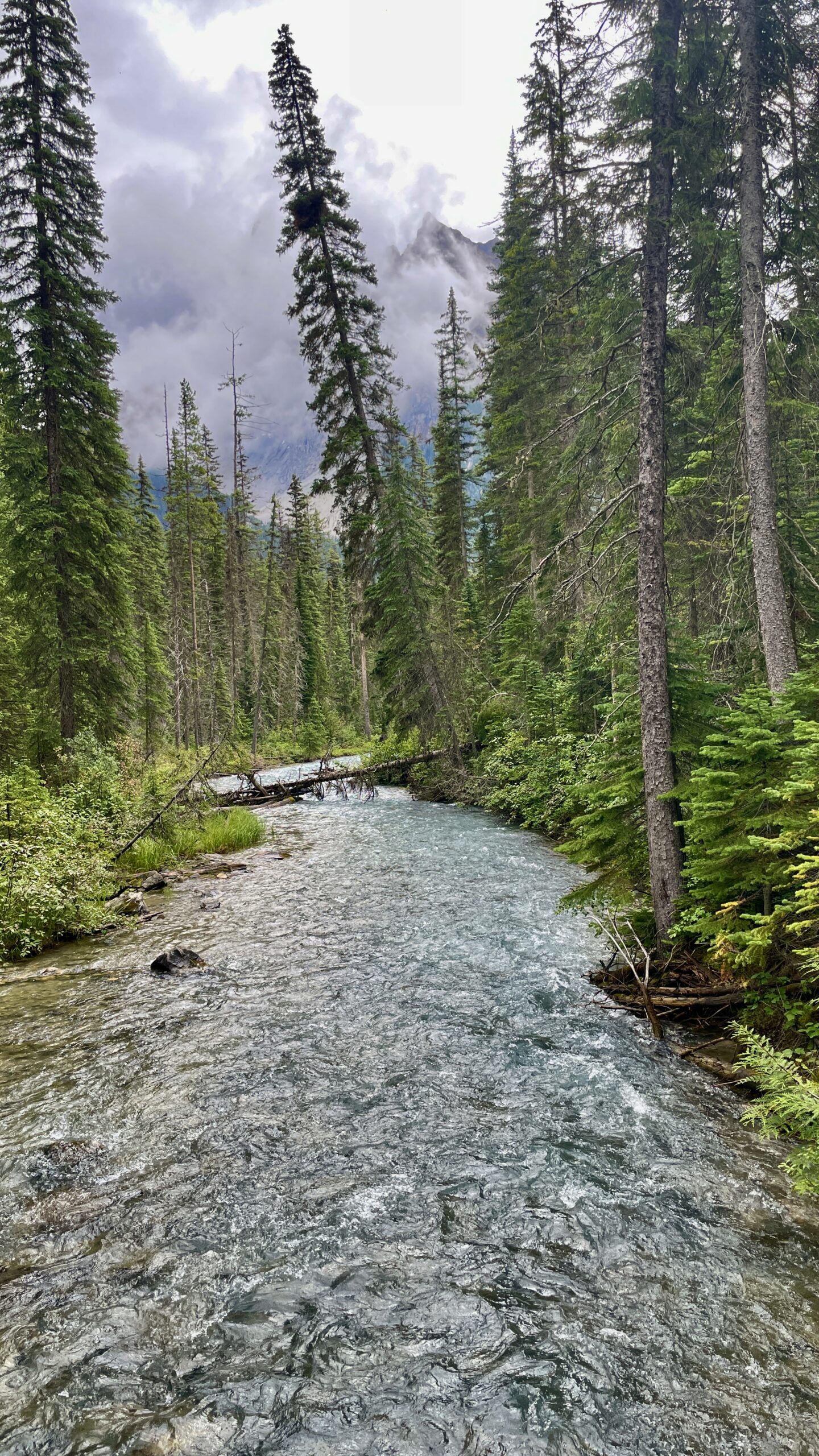
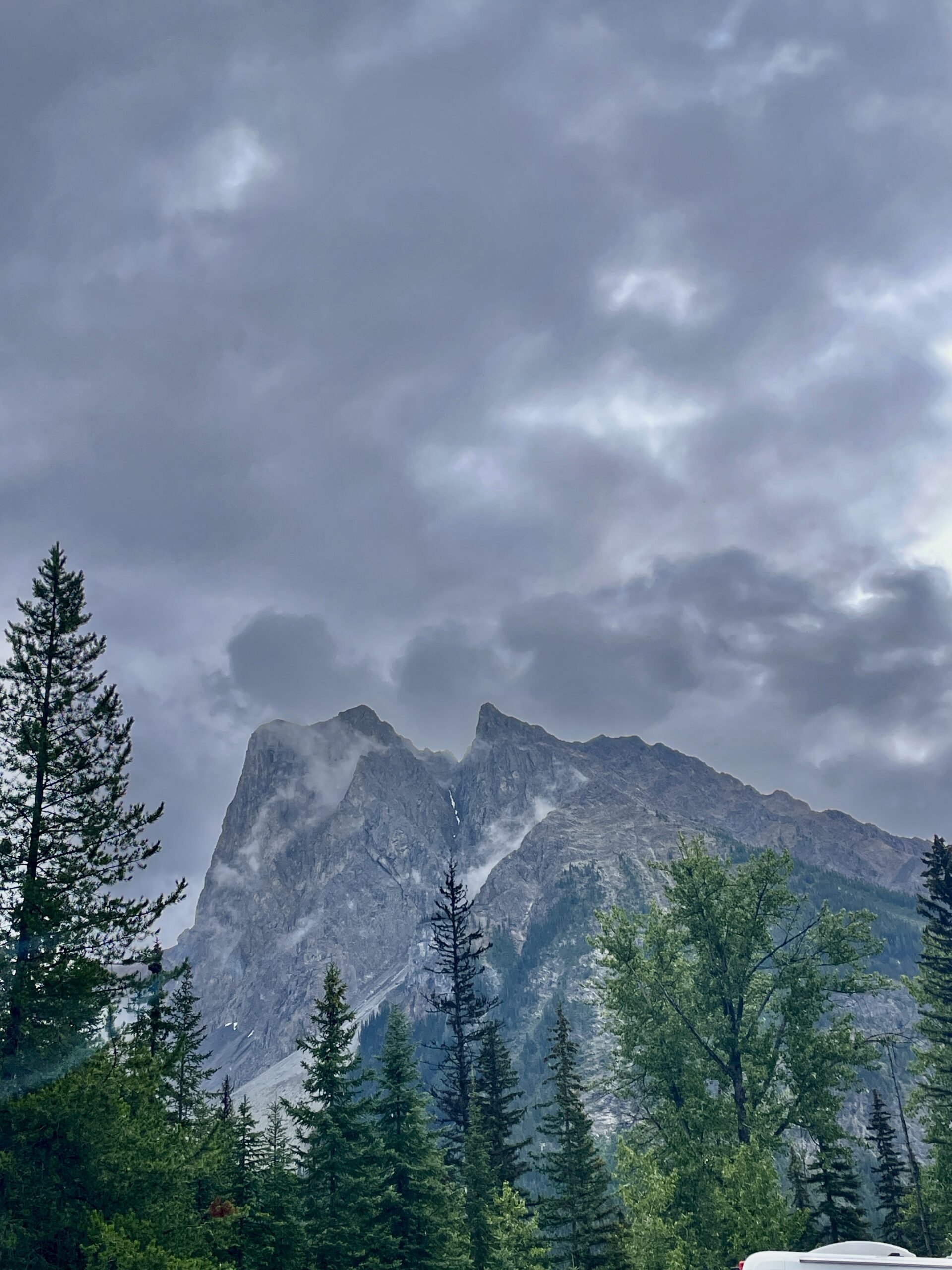
We reached Waiparous around 7 p.m. local time — this is Mountain Time, so Alberta is an hour behind Manitoba. The approach alone set the mood: a bridge over a mountain river, low peaks, unbroken forest. The village sits on the doorstep of the wild Ghost country, so the sense of being out in the backcountry is real. Our lodging — an eight-berth camper — sat right on the owners’ property, rented out when they aren’t using it themselves. They welcomed us warmly and showed us everything. Worn out from the road, we lit a fire in the designated spot, grilled some steaks and were asleep almost at once.
Day 2: the Icefields Parkway and the glacier
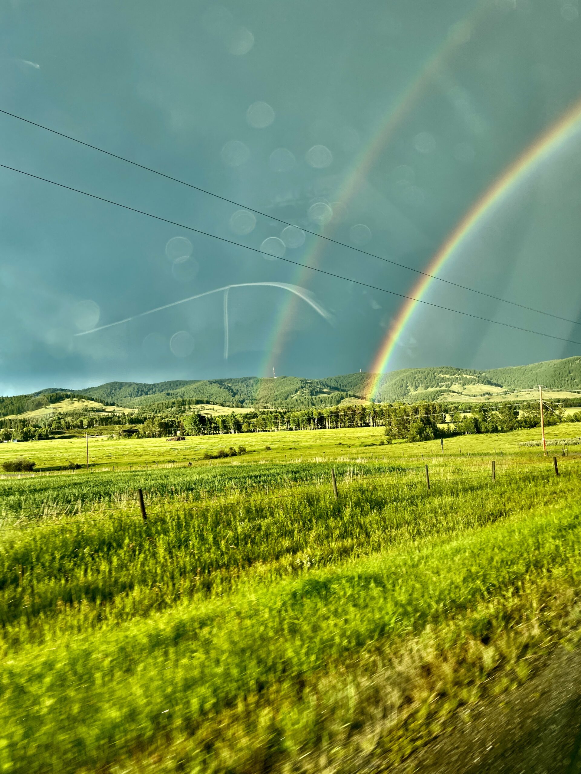
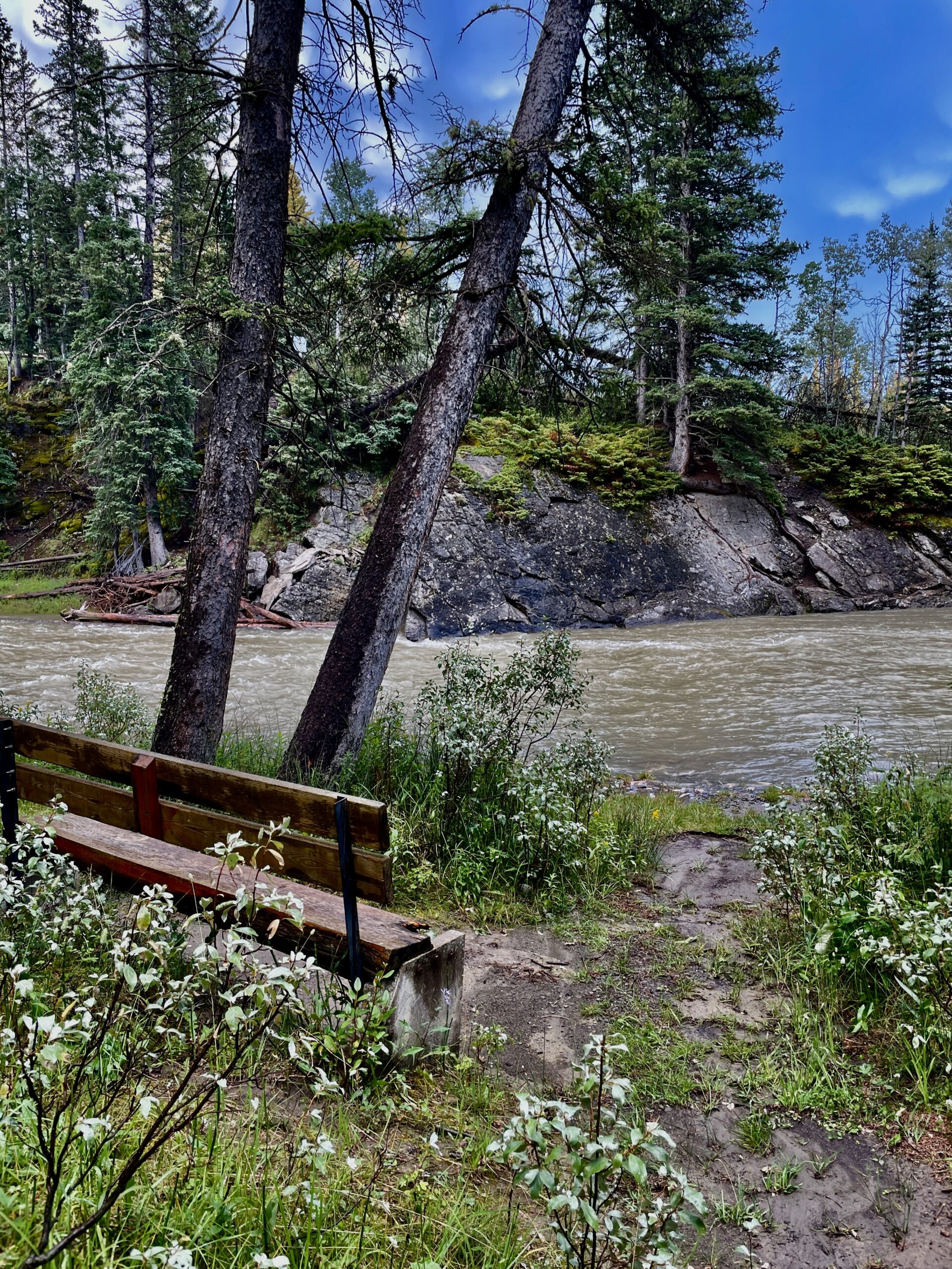
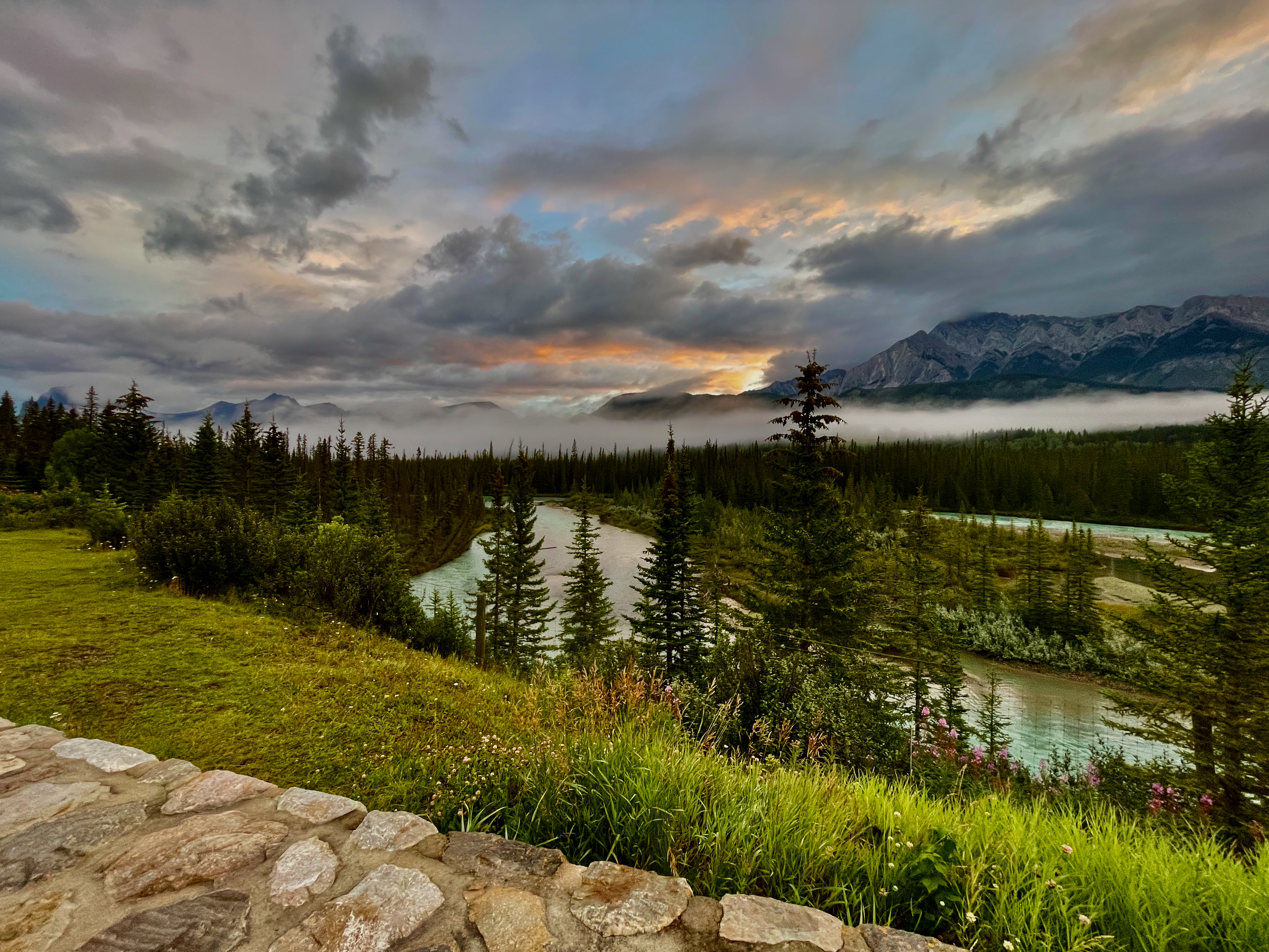
Morning put everything in place. In the first sun we just stood and stared for a good five minutes: dense forest, mountains, a rushing river — all of it literally in the yard where we’d slept. That’s when it hit us that not booking right by Banff had cost us nothing — if anything, we’d gained real wilderness and quiet instead of tourist bustle. More on the village itself in our guide to Waiparous.
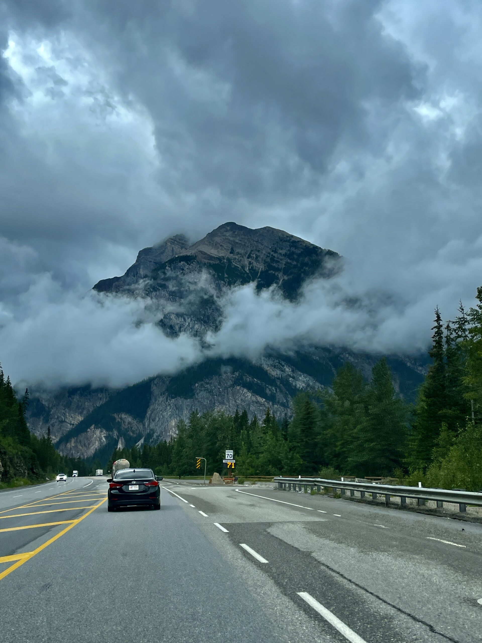
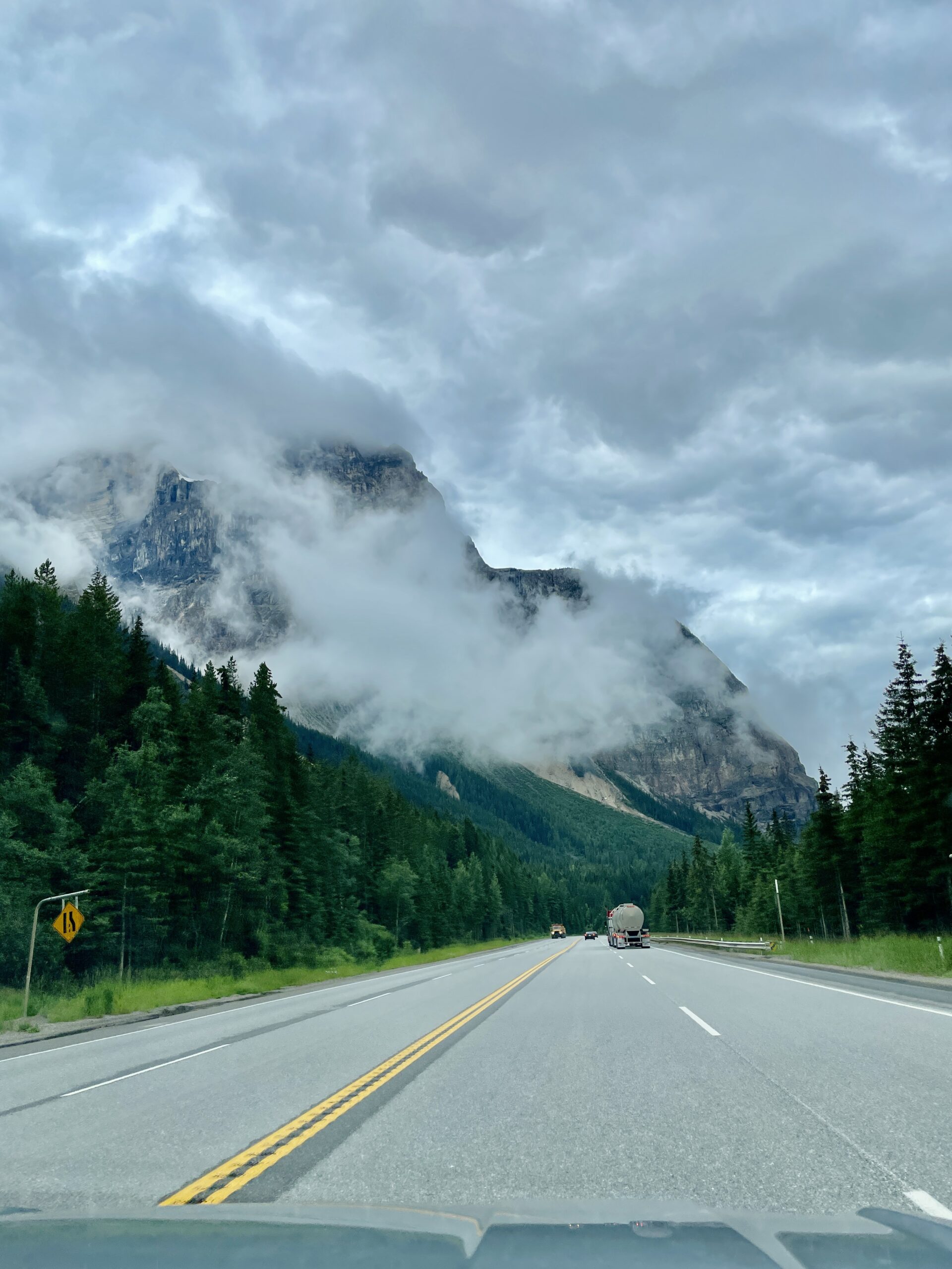
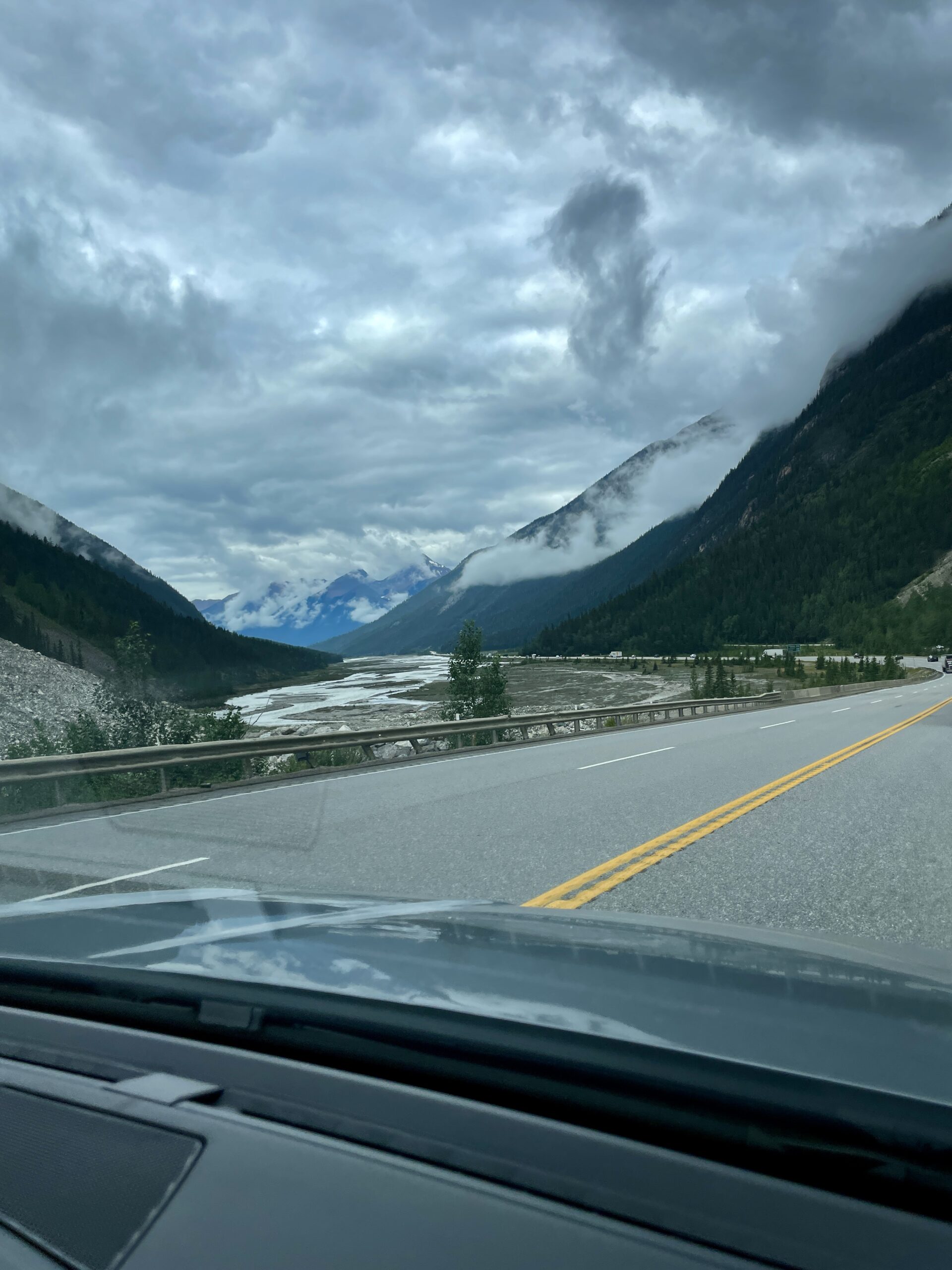
We didn’t plan much for the day — after the previous haul we wanted a gentler pace. We’d bought tickets to the Columbia Icefield Skywalk in advance and headed there — not least because the road to it runs along the legendary Icefields Parkway. This highway regularly lands on lists of the world’s most beautiful roads, and National Geographic dubbed it a “Drive of a Lifetime.” It was built back in the 1930s to connect Banff and Jasper, partly by Depression-era relief camps, and deliberately routed past the most dramatic scenery. For me, it was a chance to measure it against Europe’s Transfăgărășan — and, spoiler, the Parkway doesn’t lose that contest.
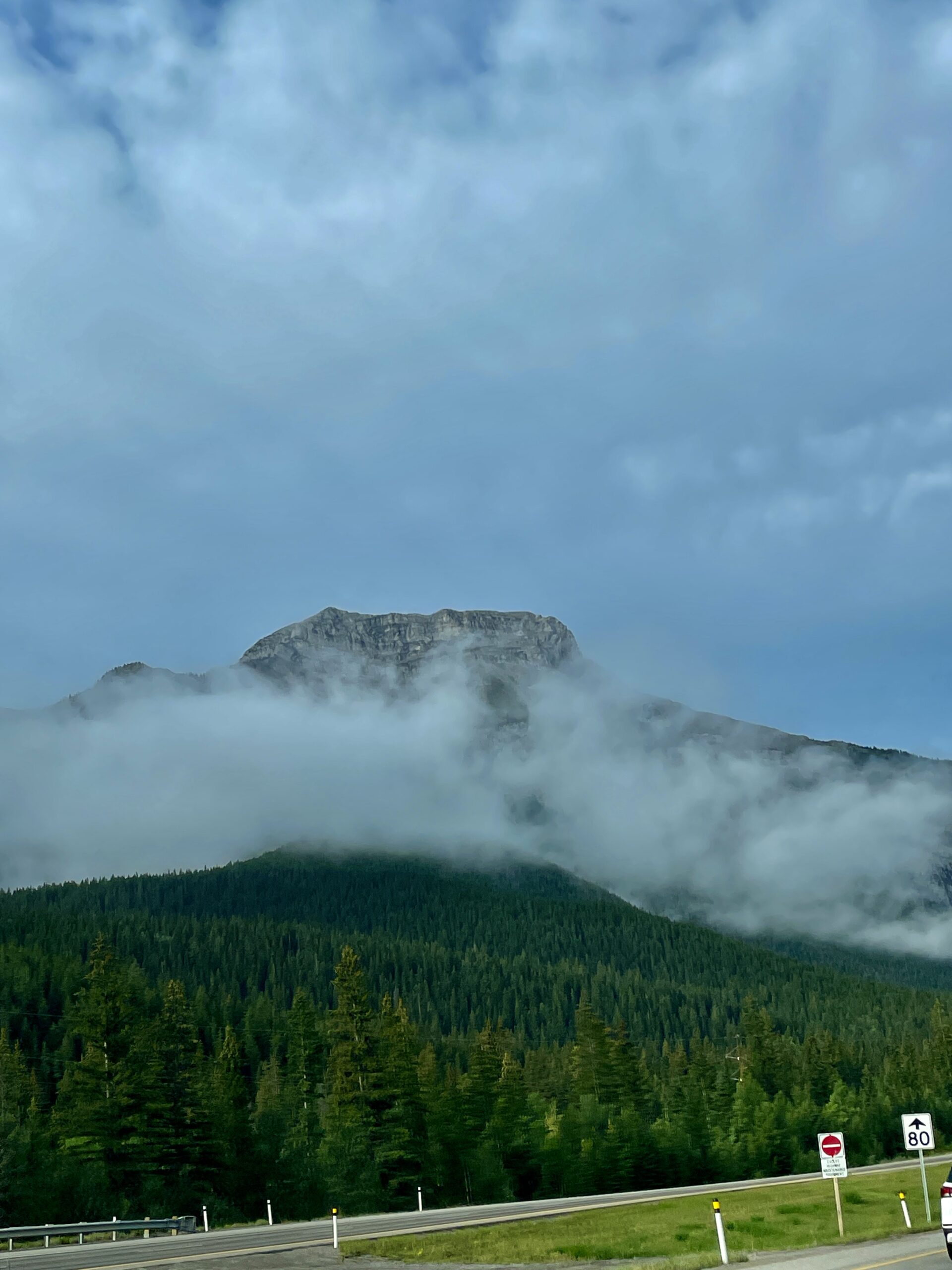
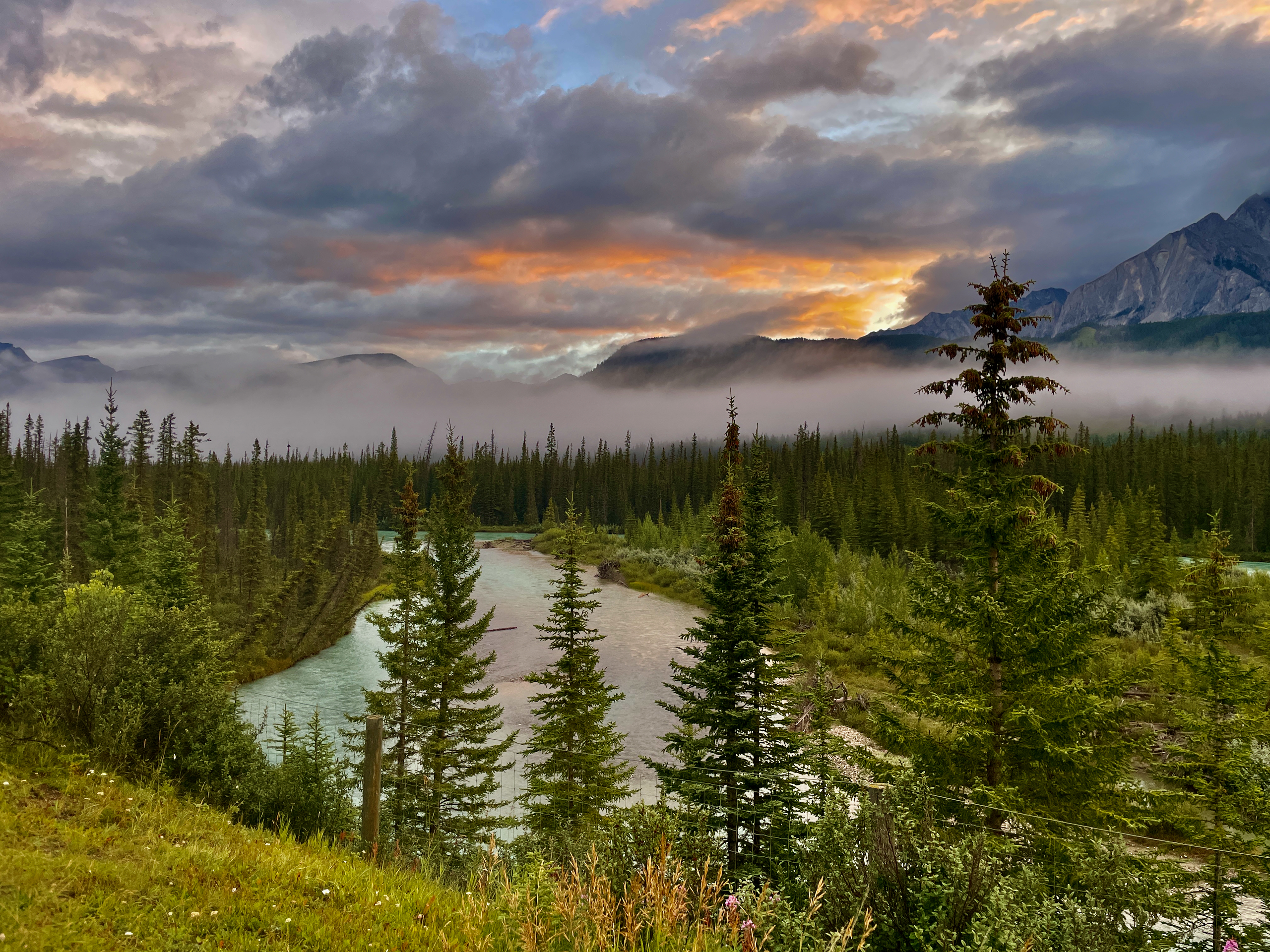
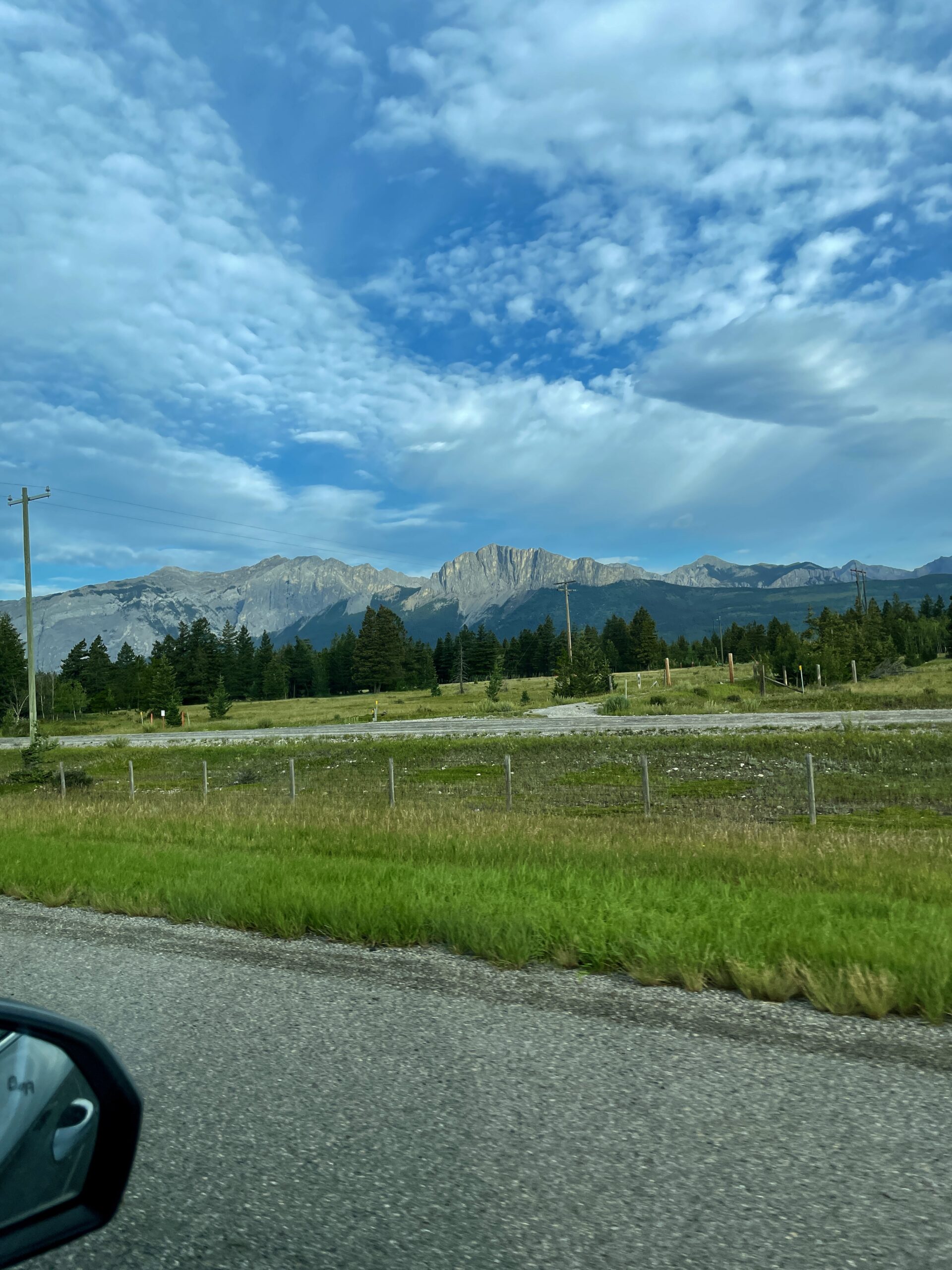
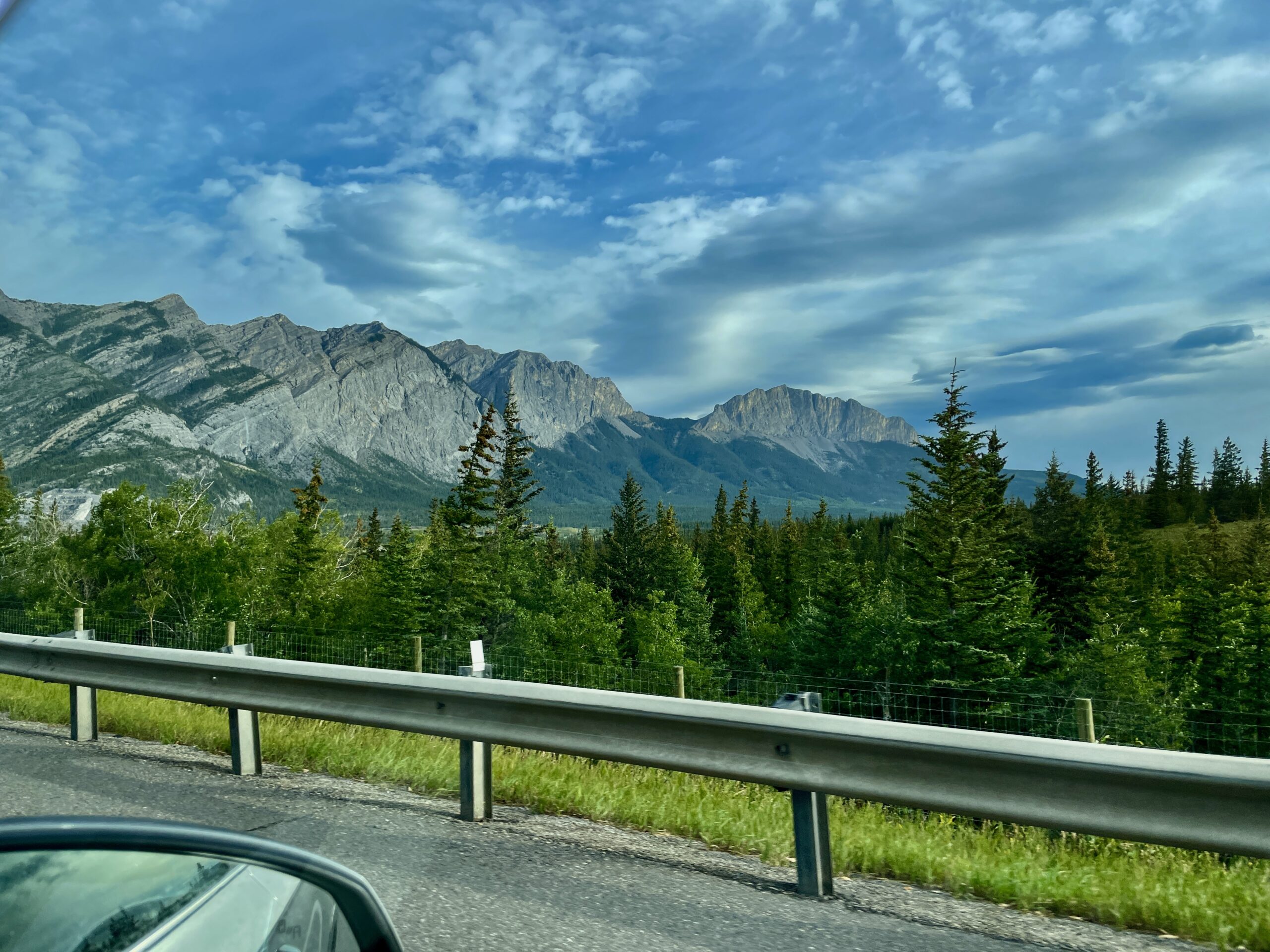
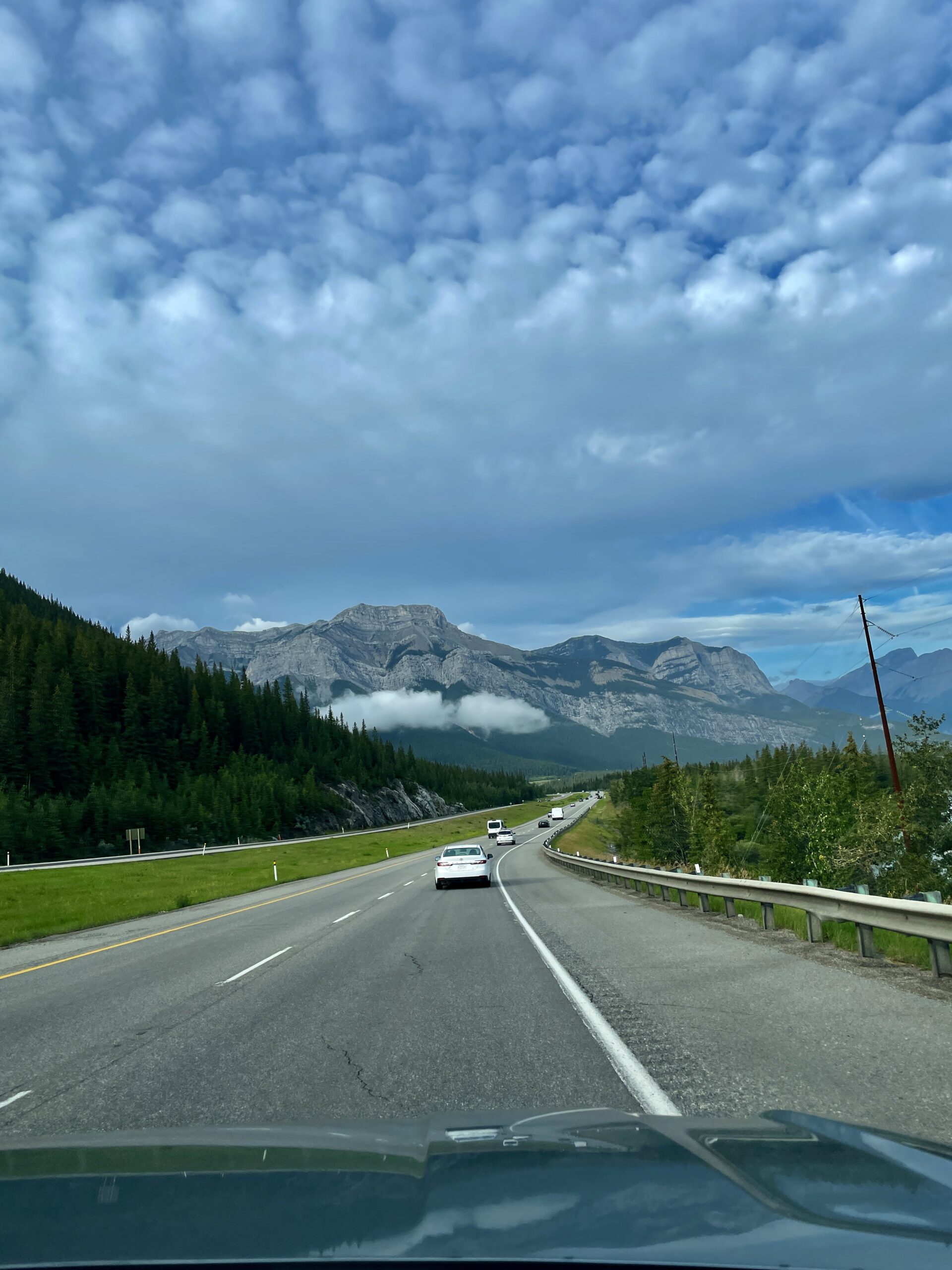
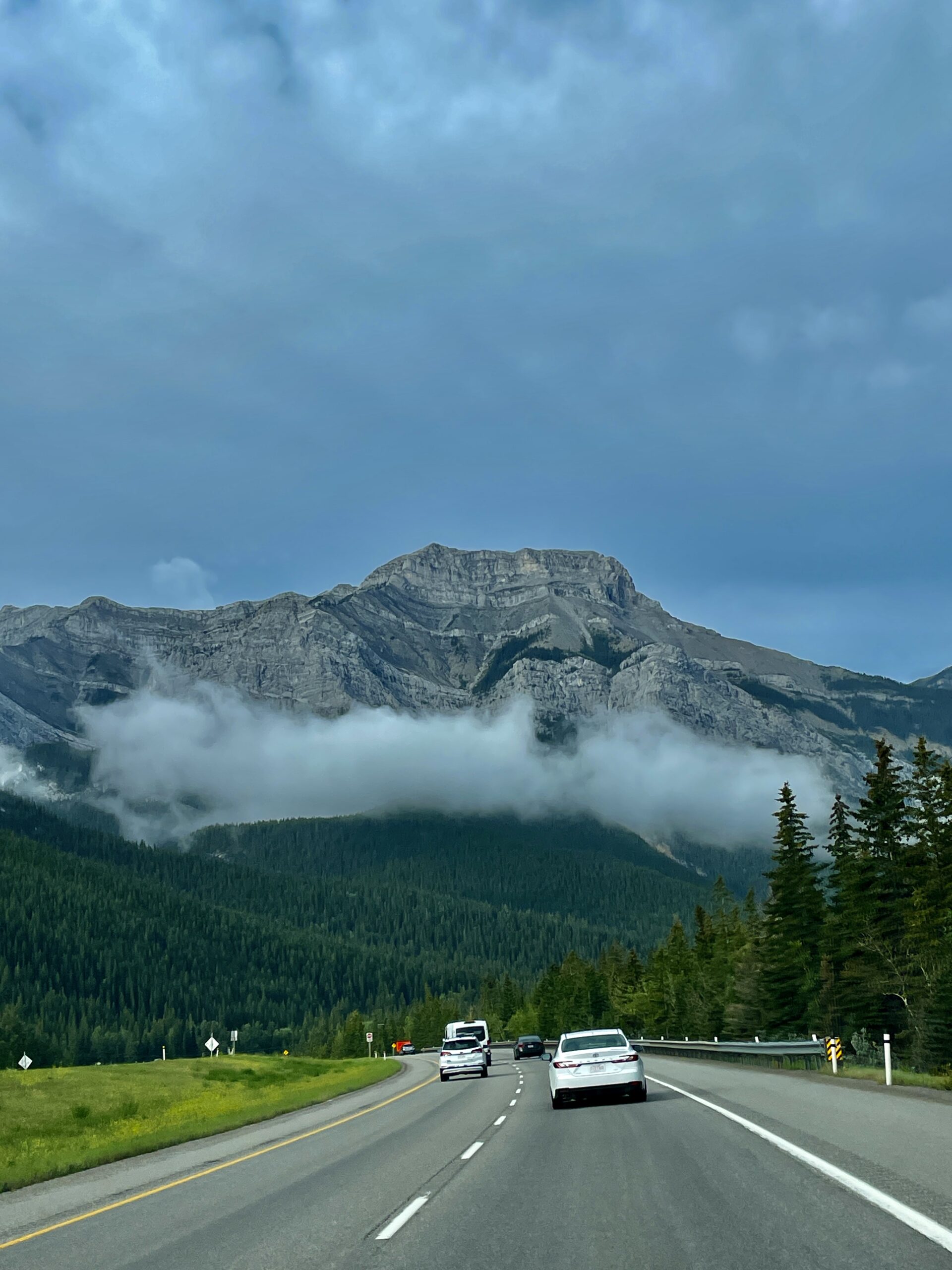
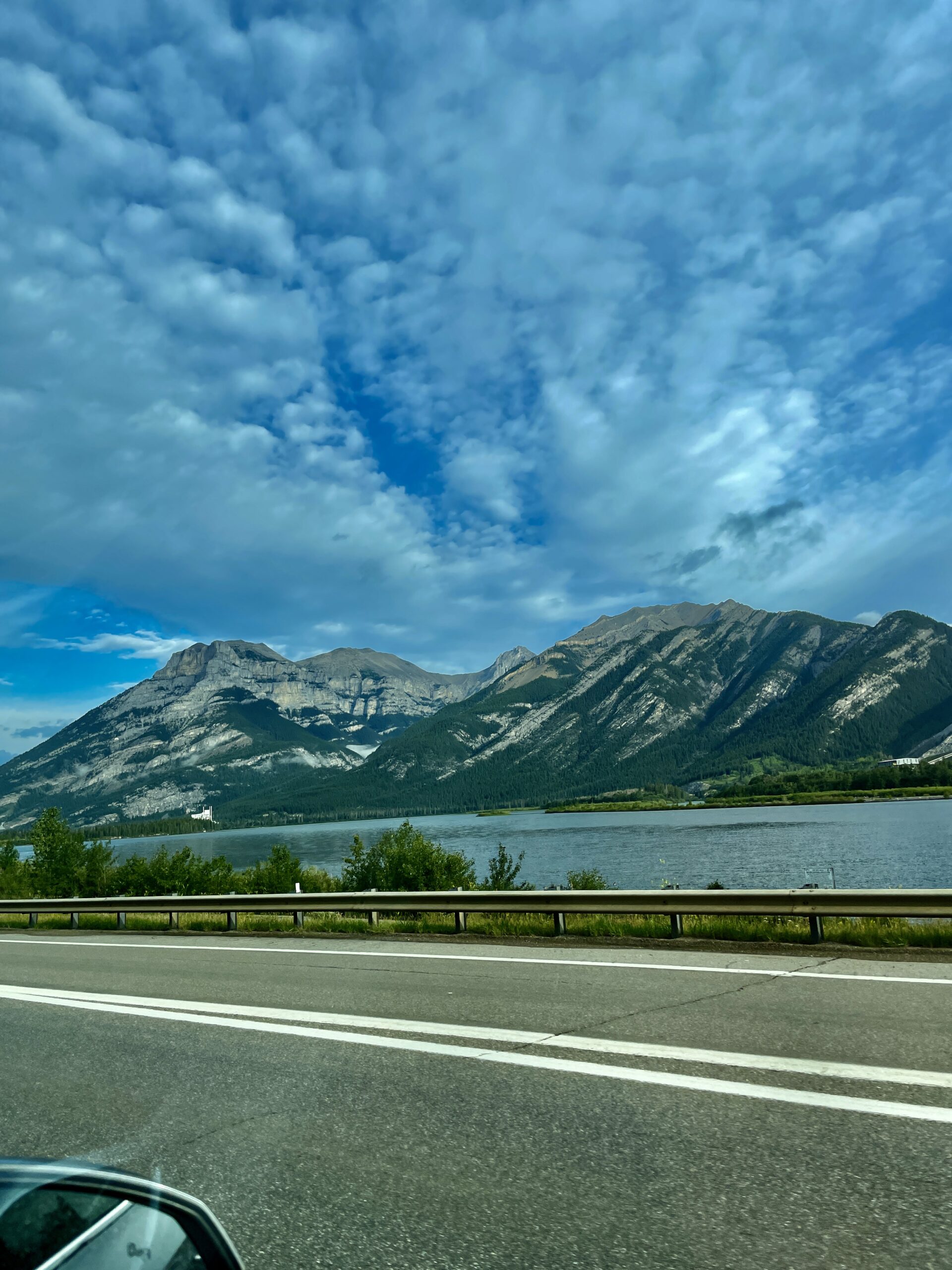
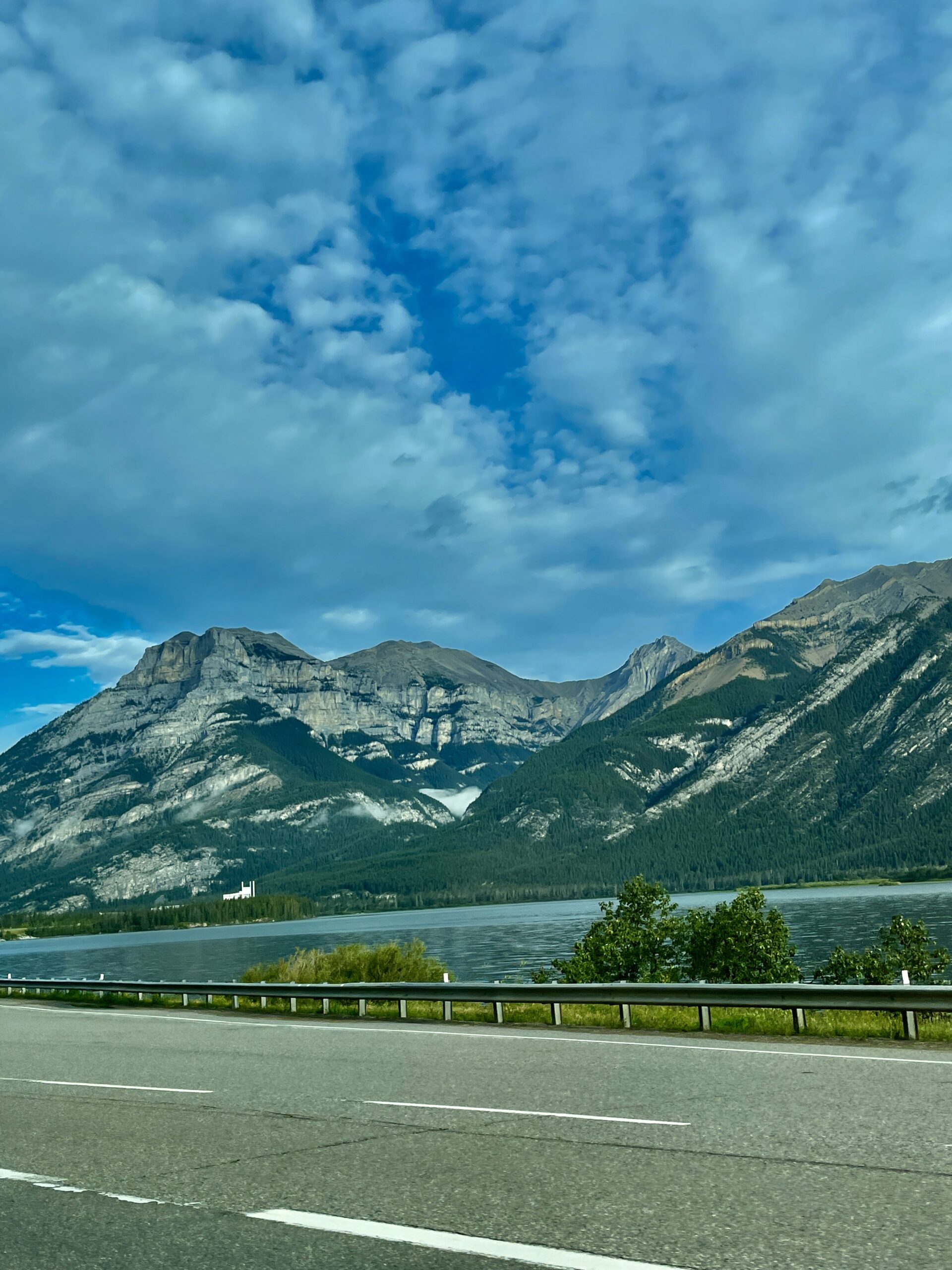
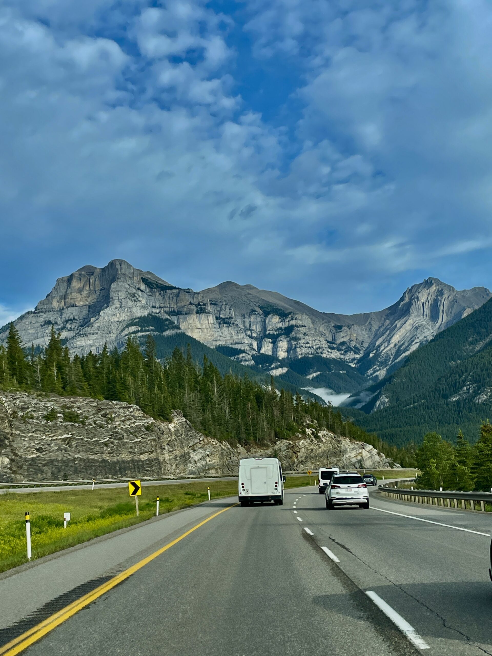
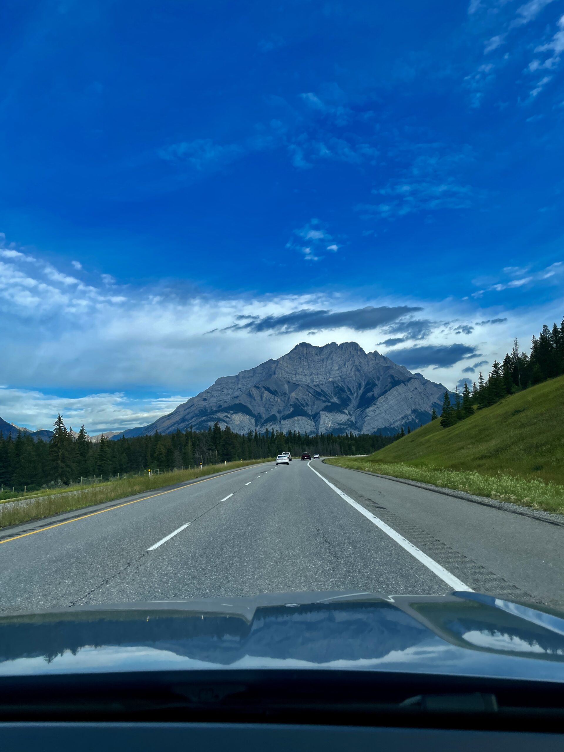
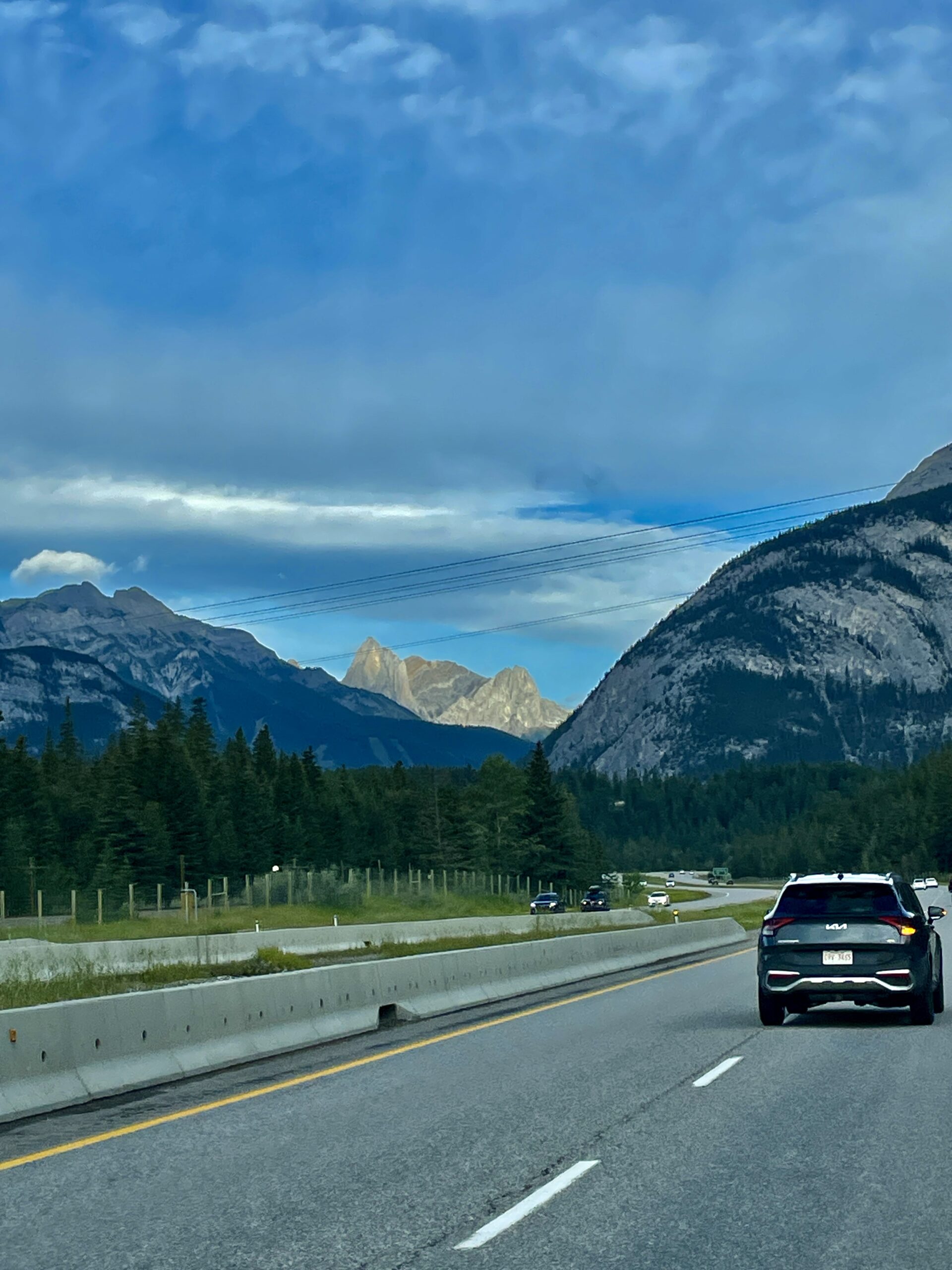
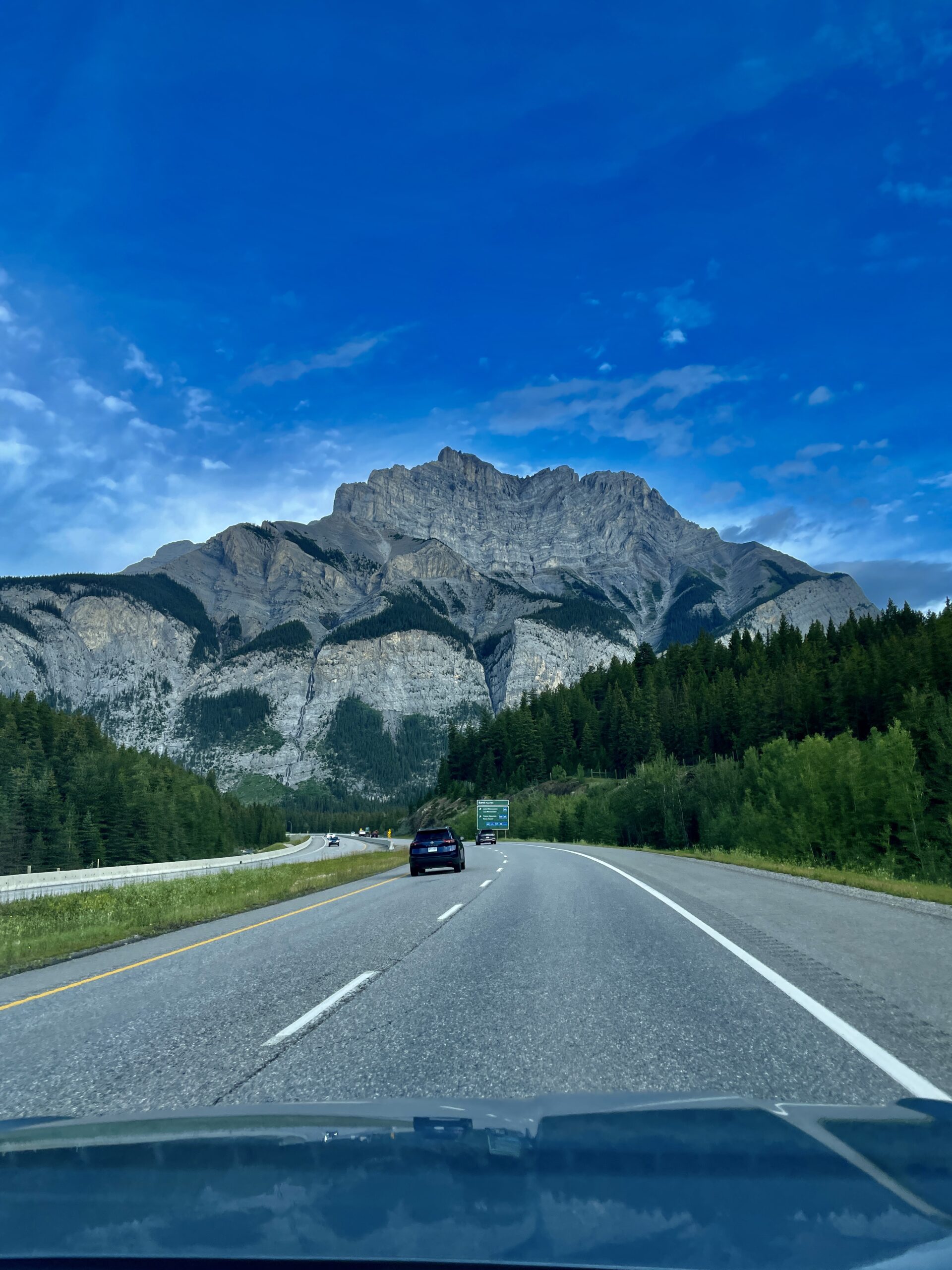
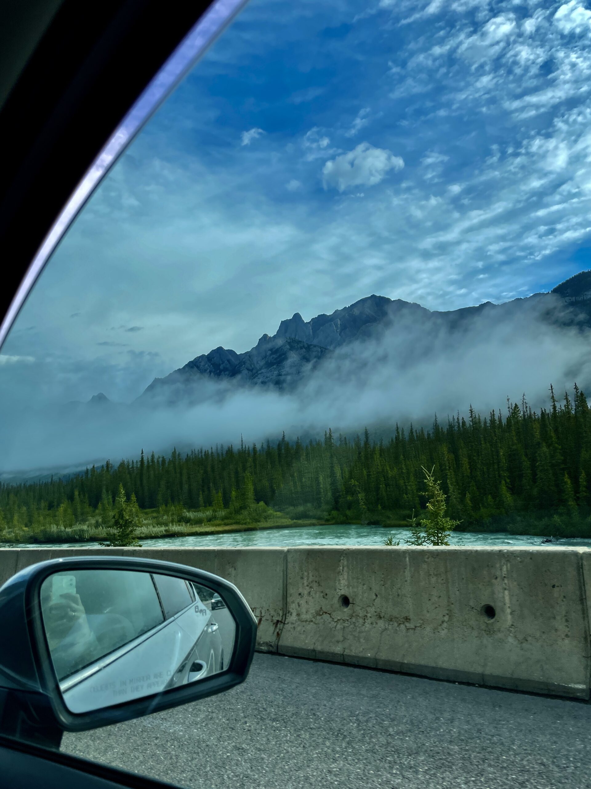
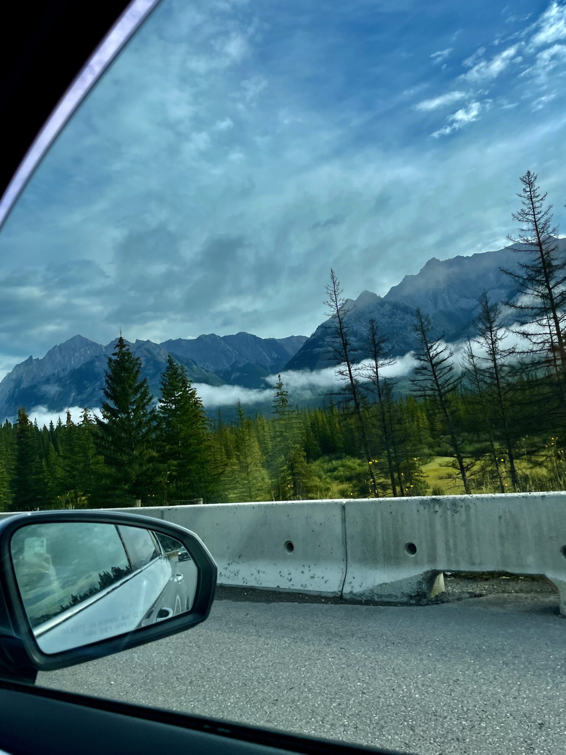
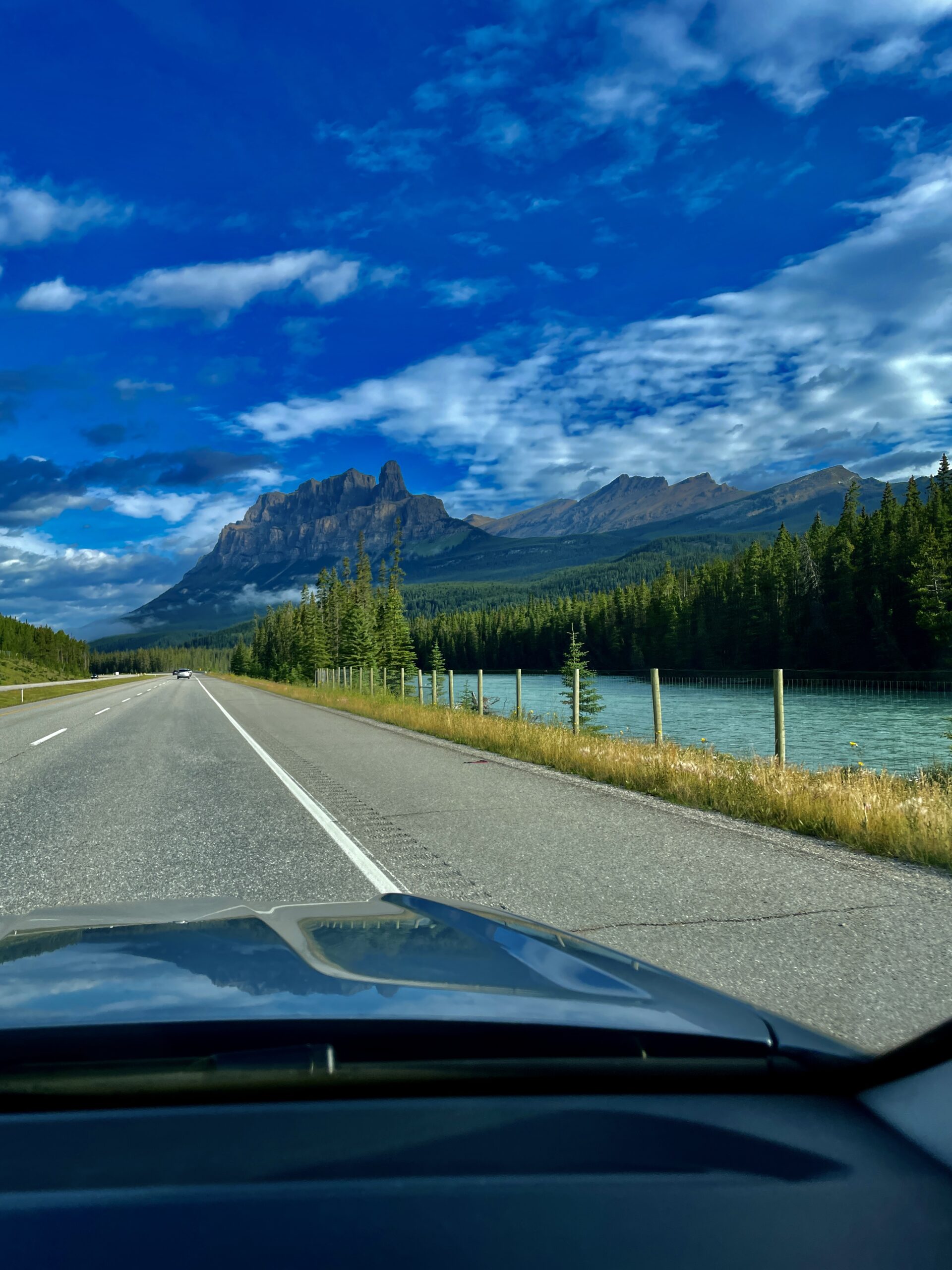
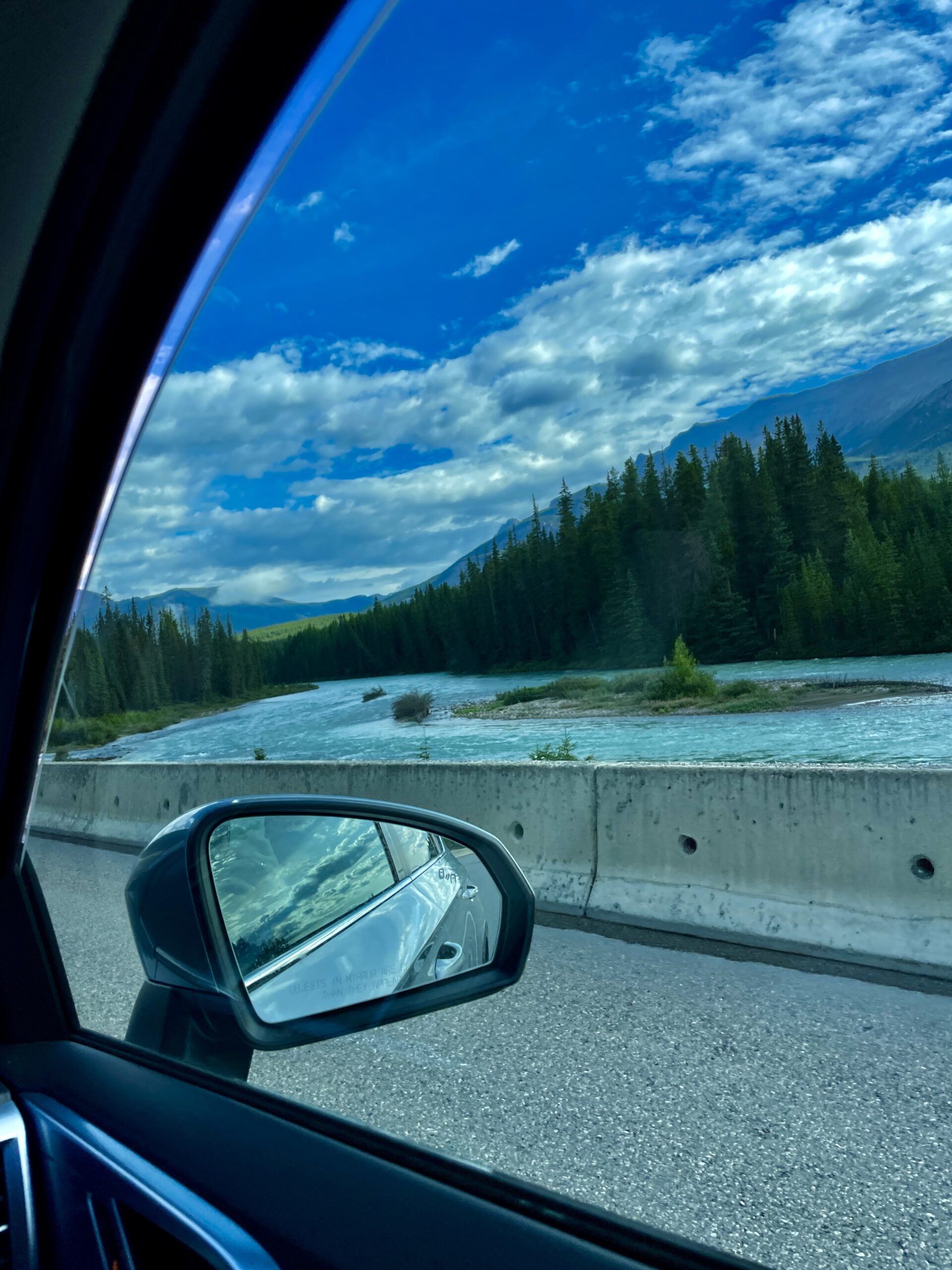
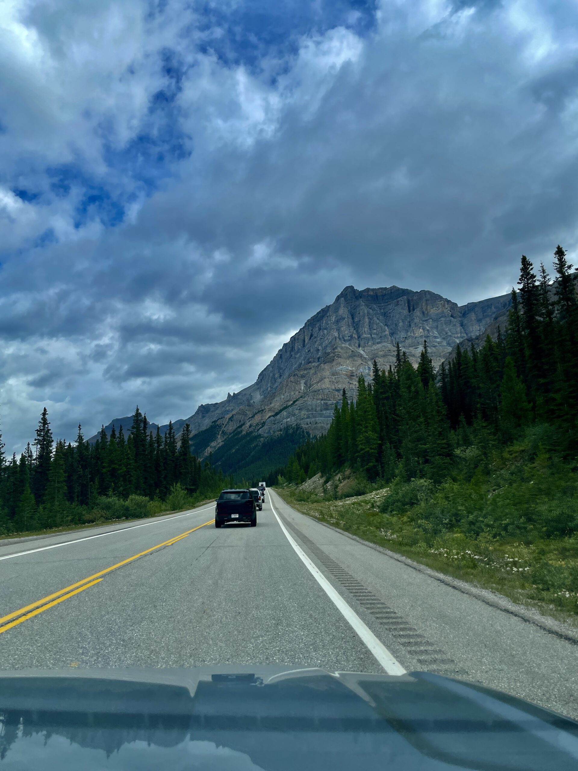
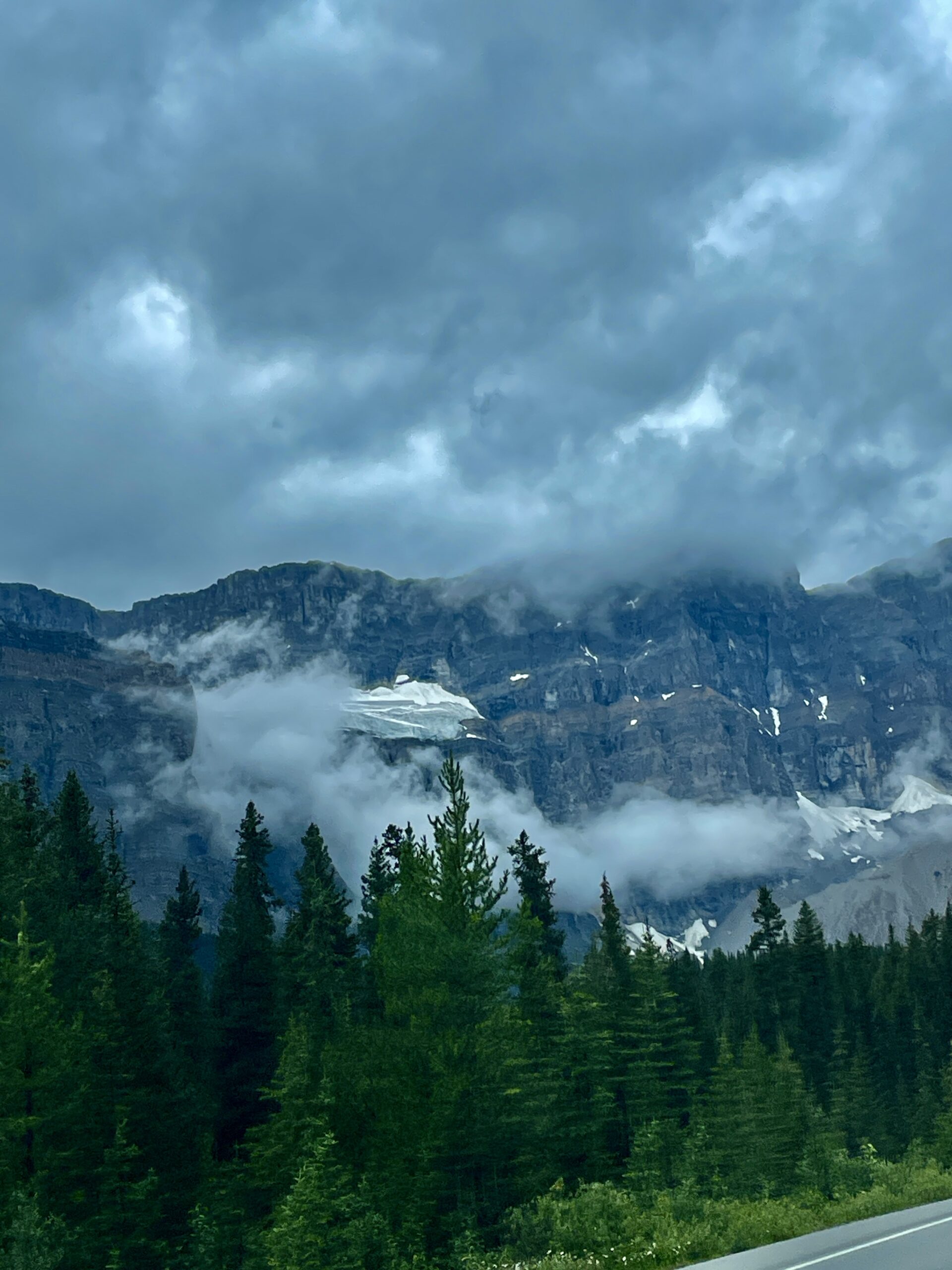
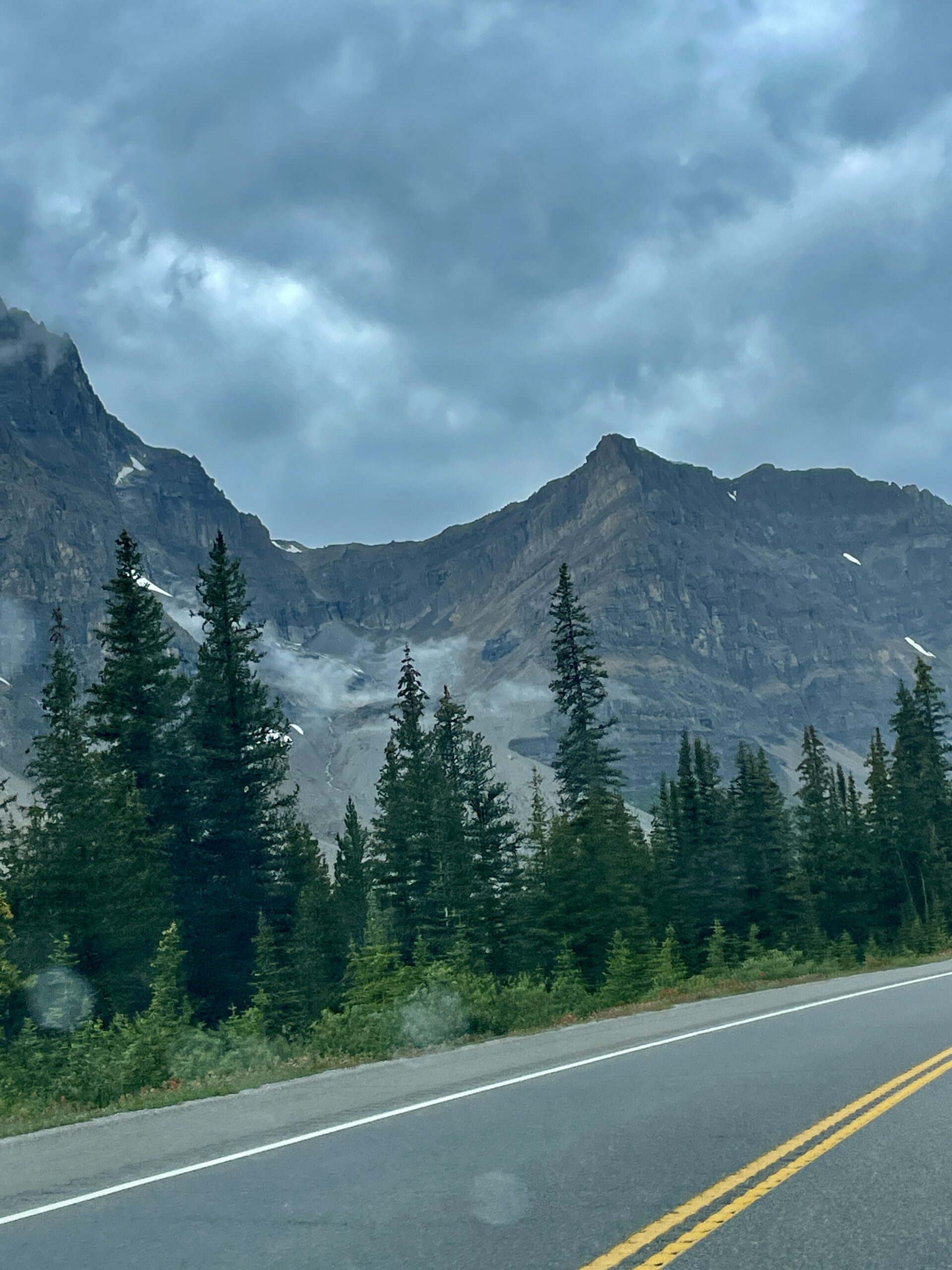
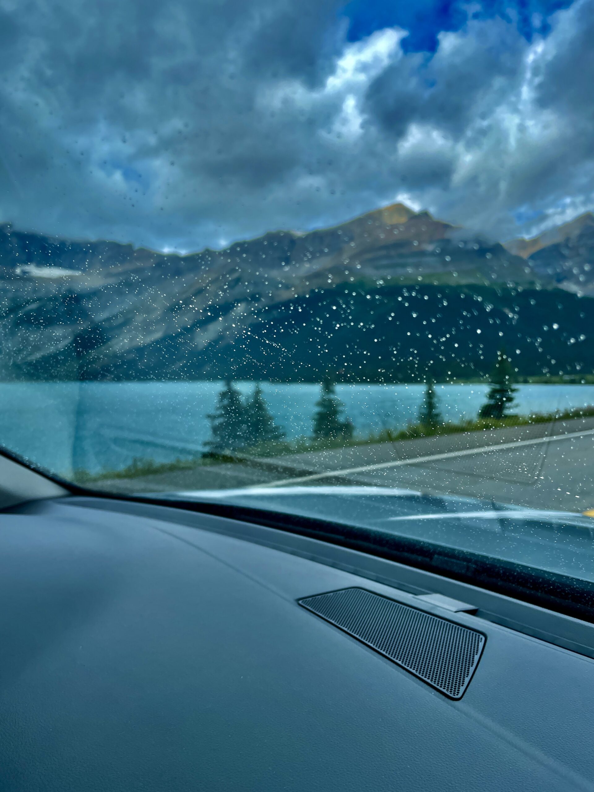
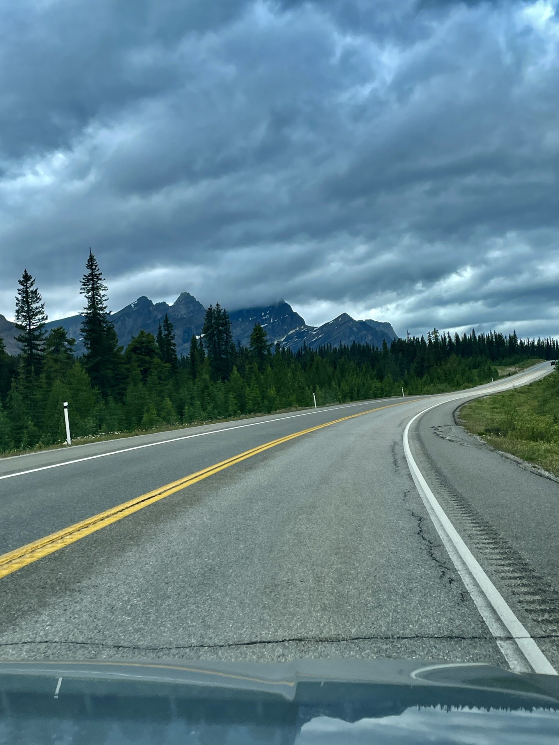
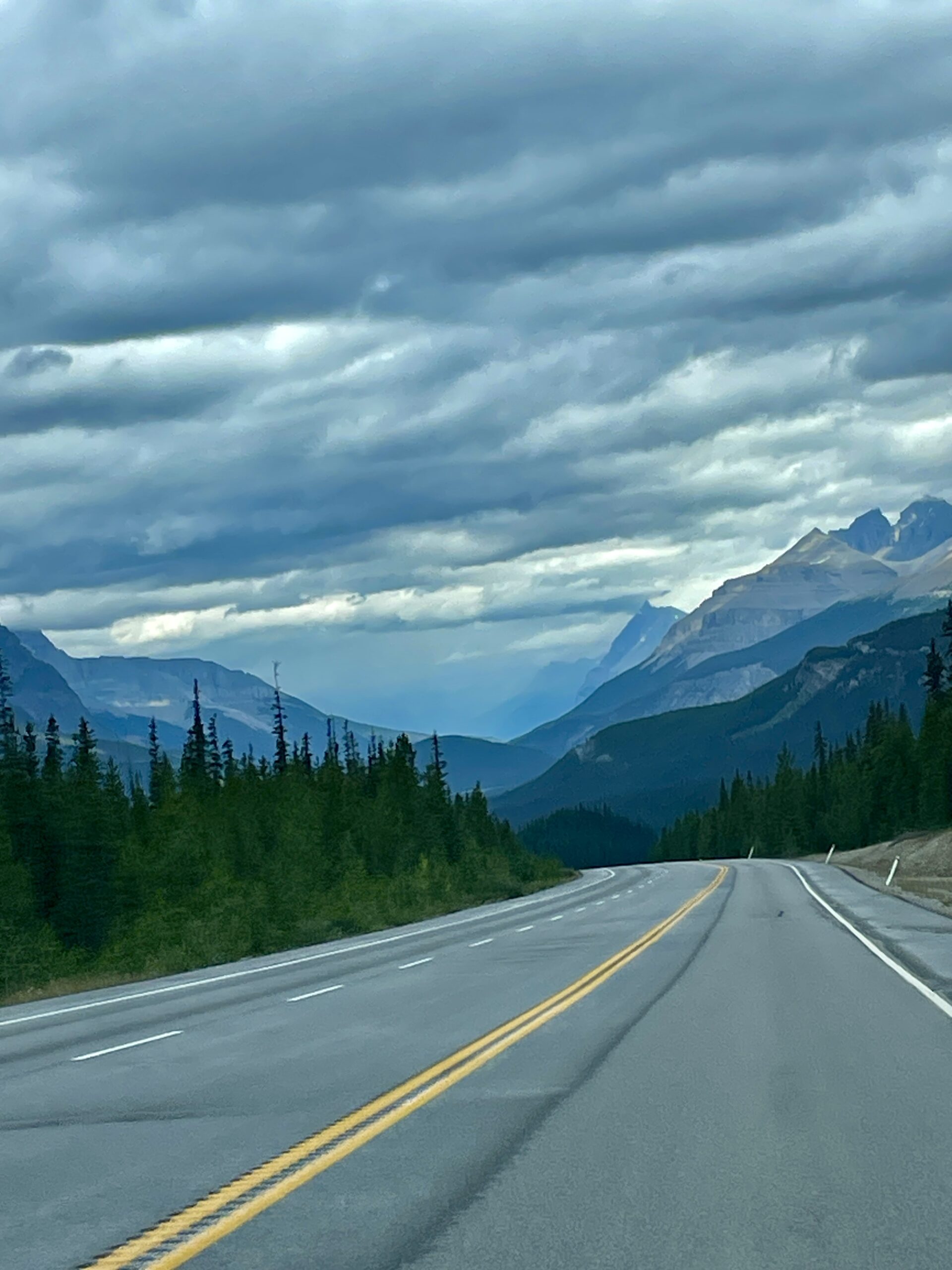
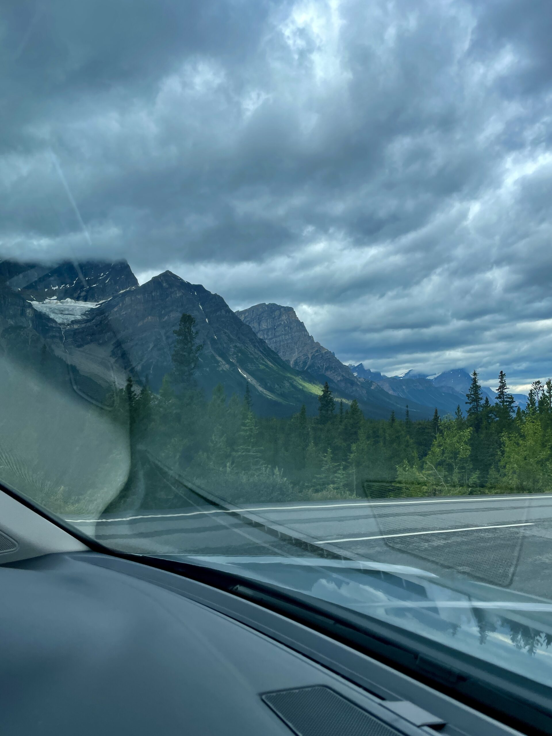
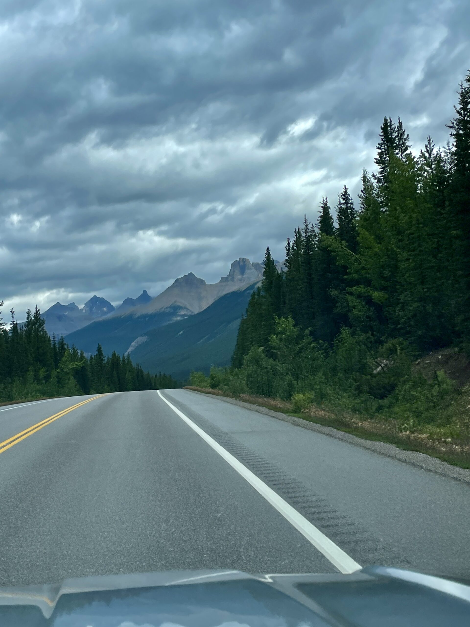
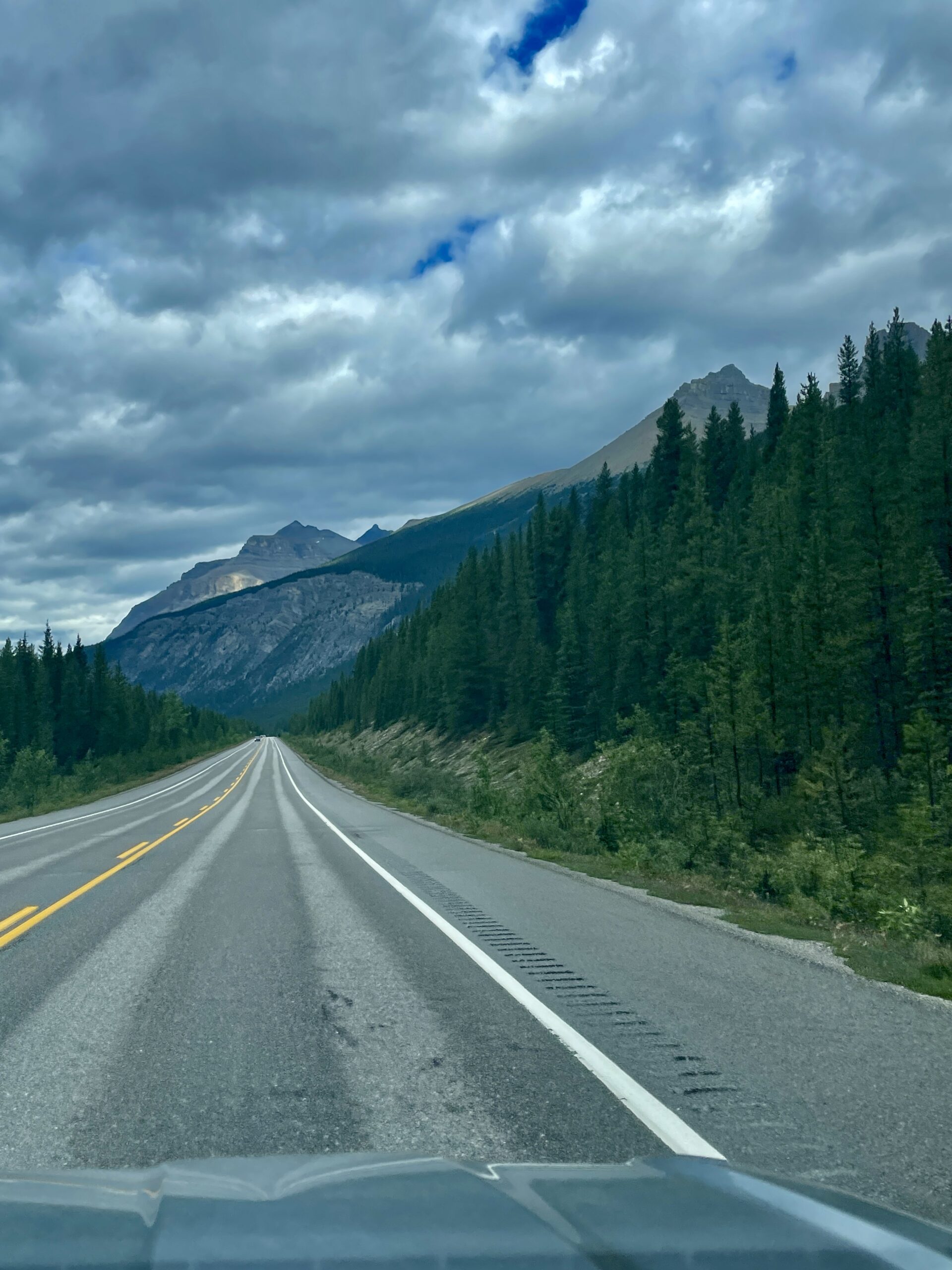
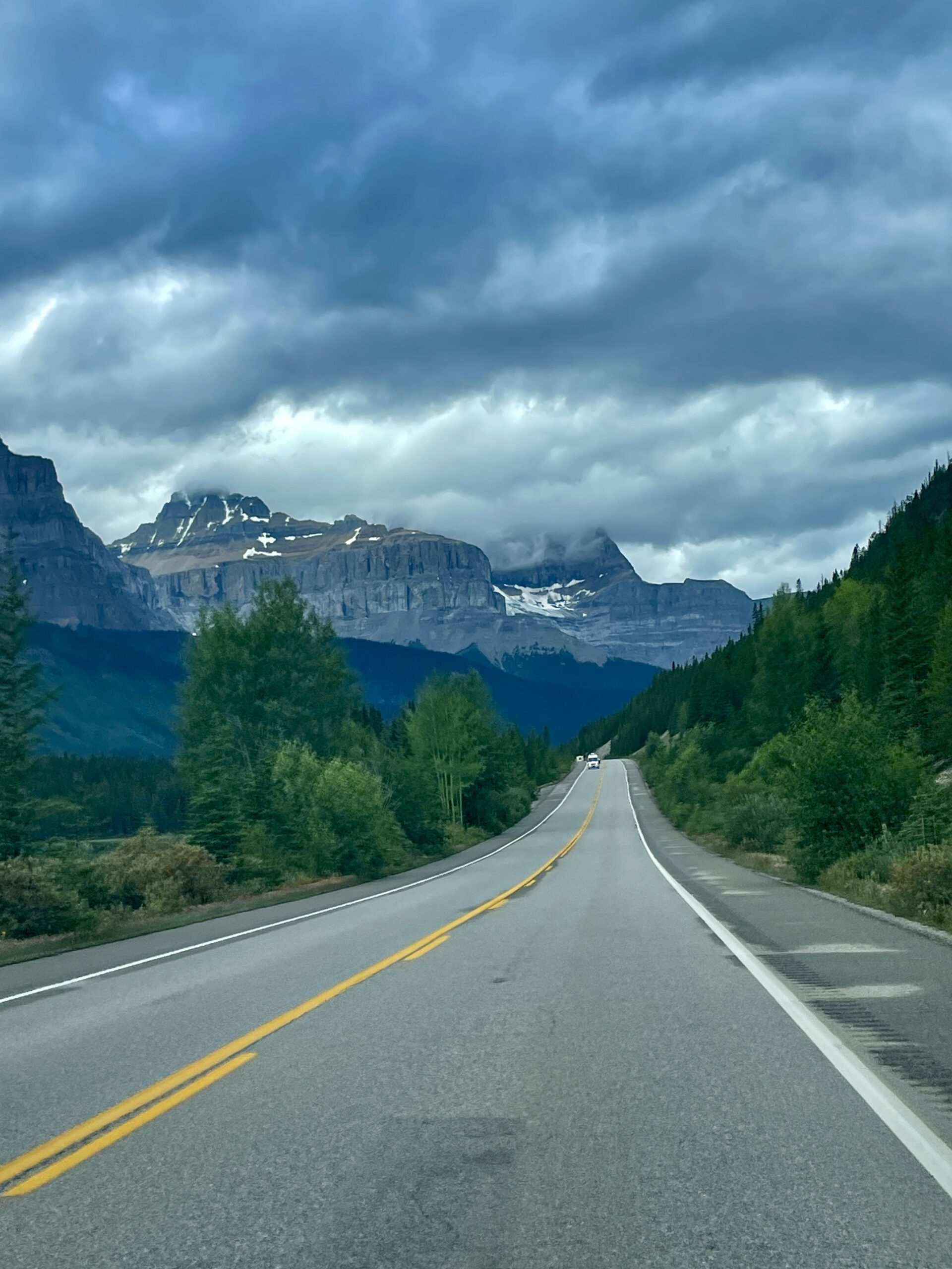
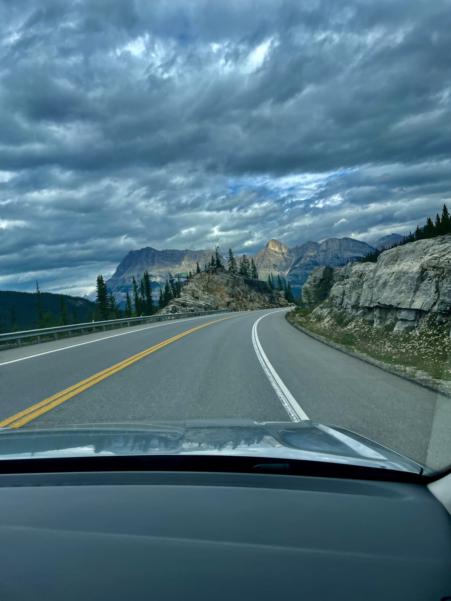
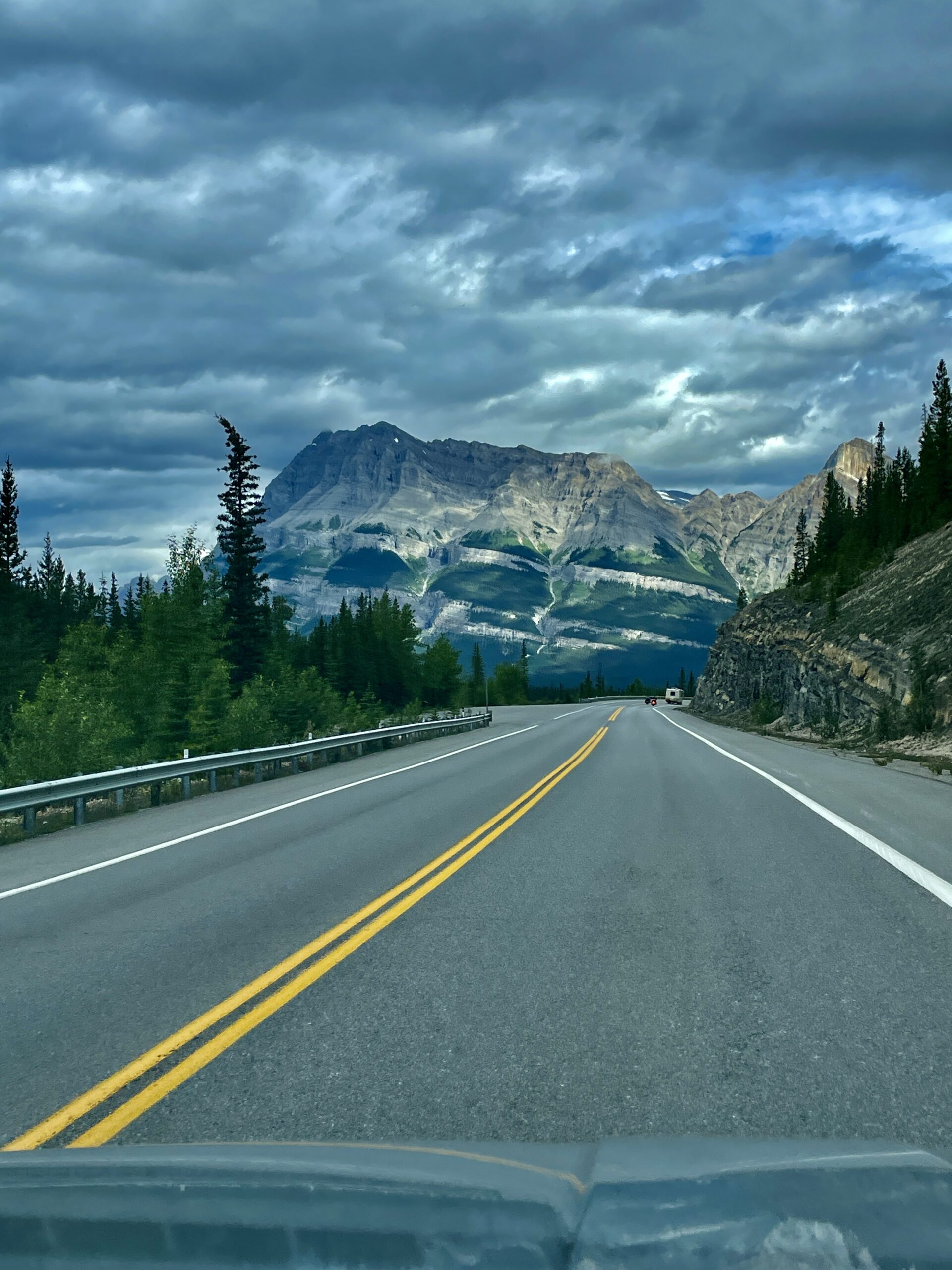
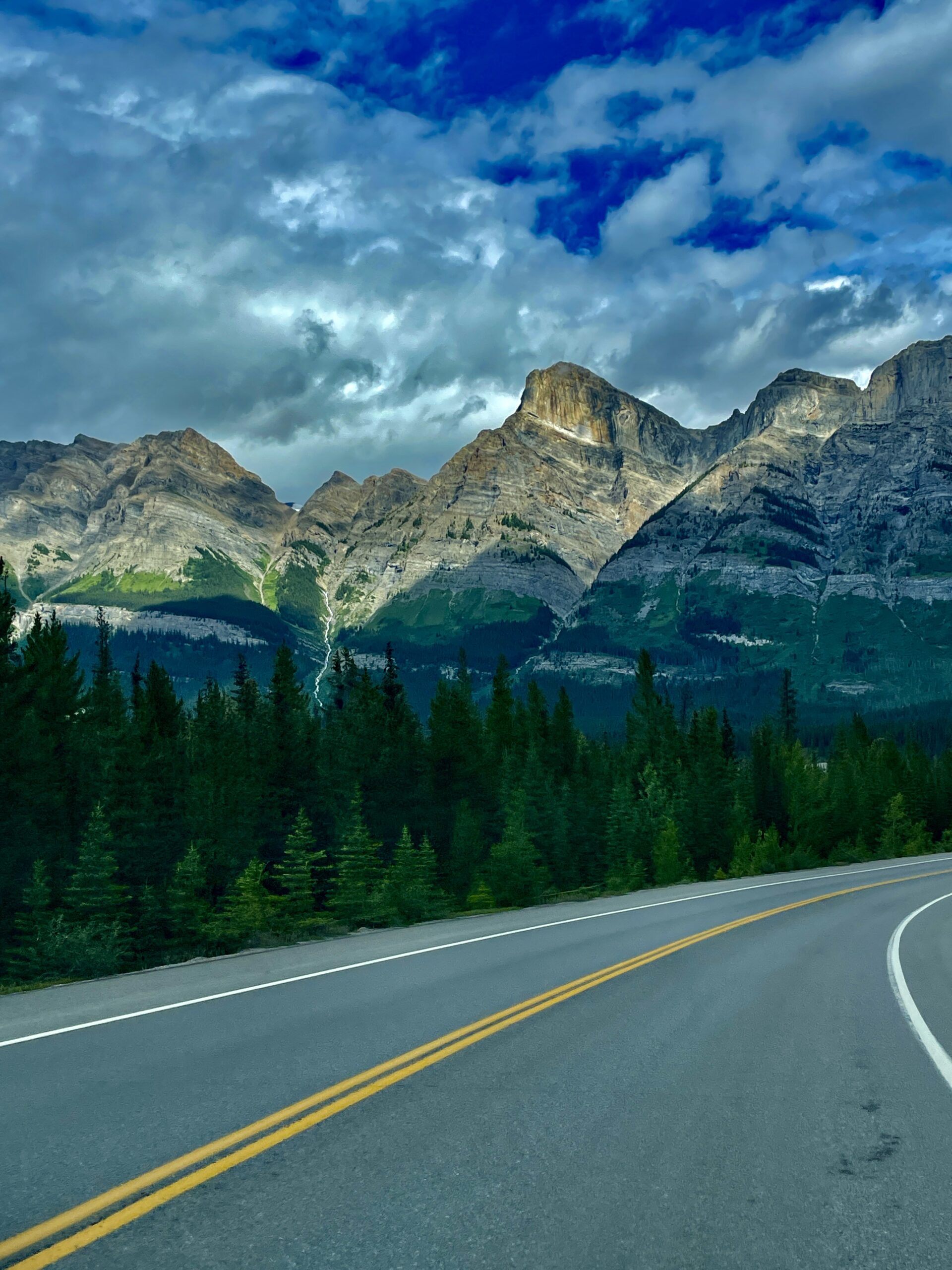
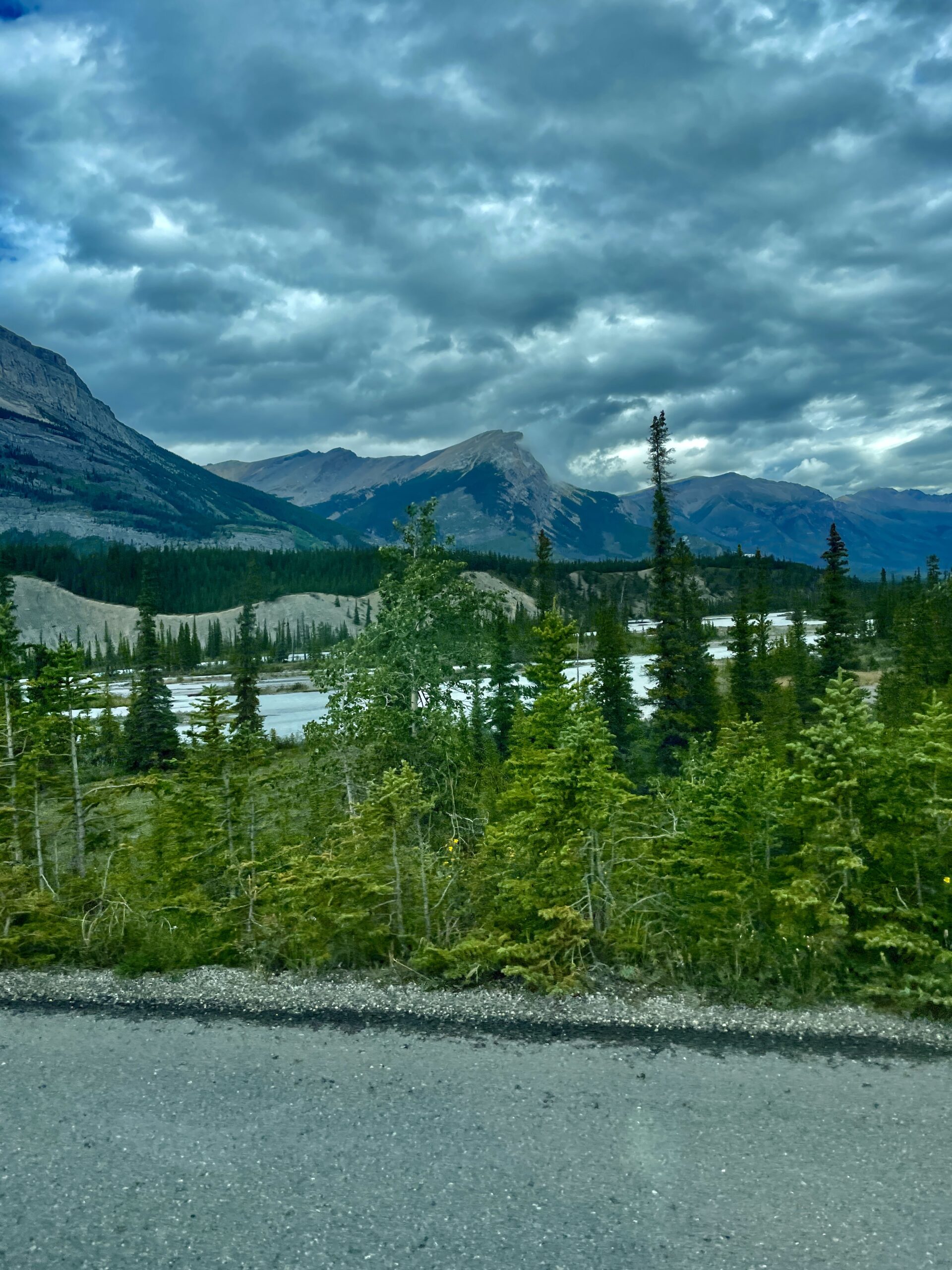
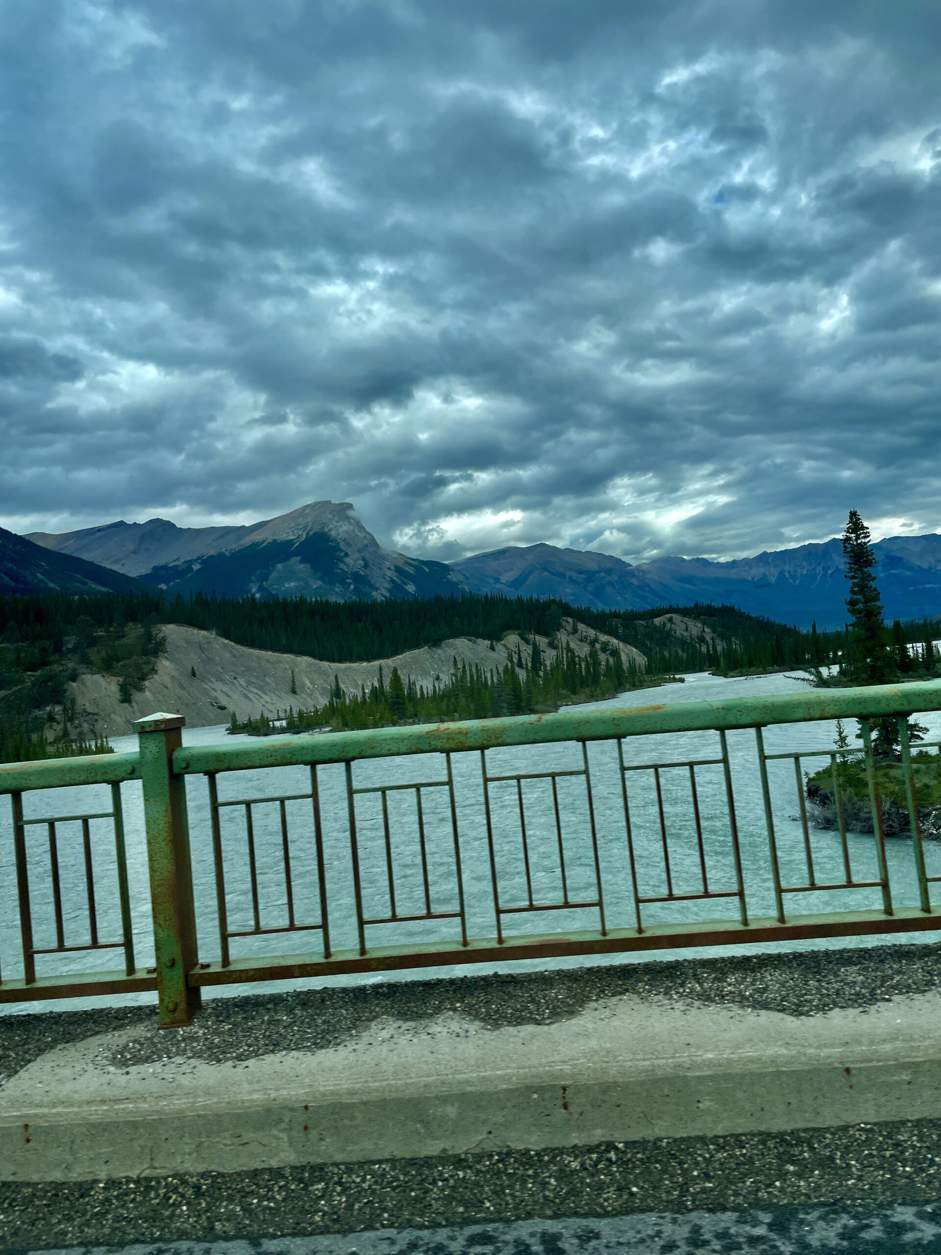
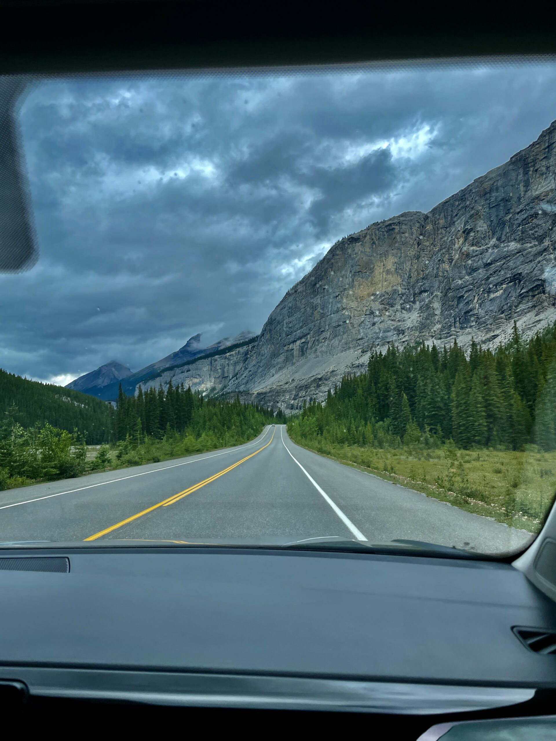
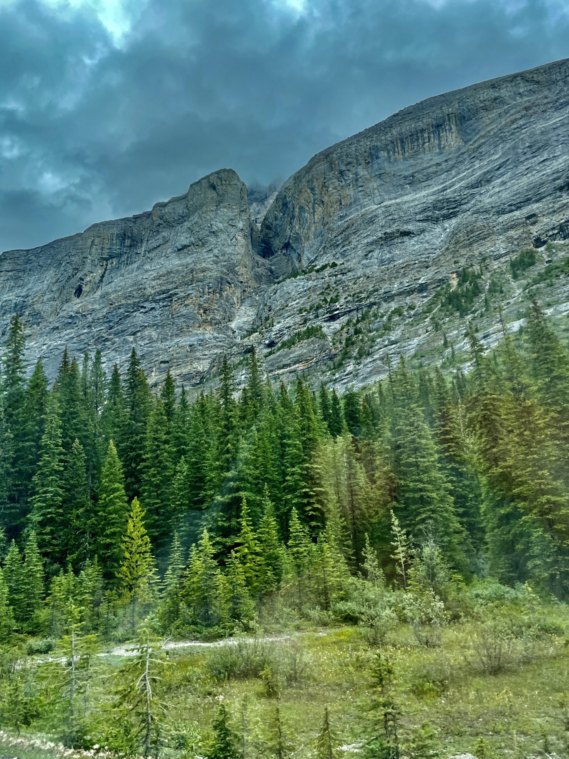
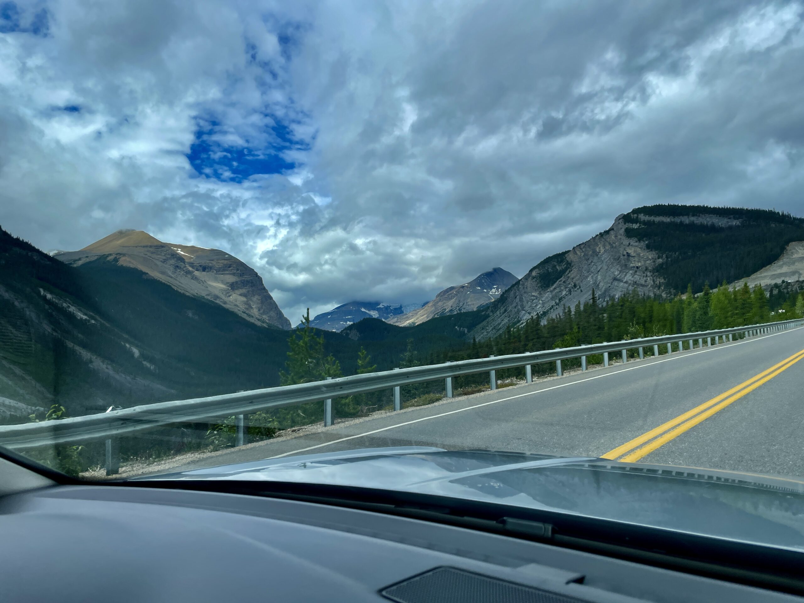
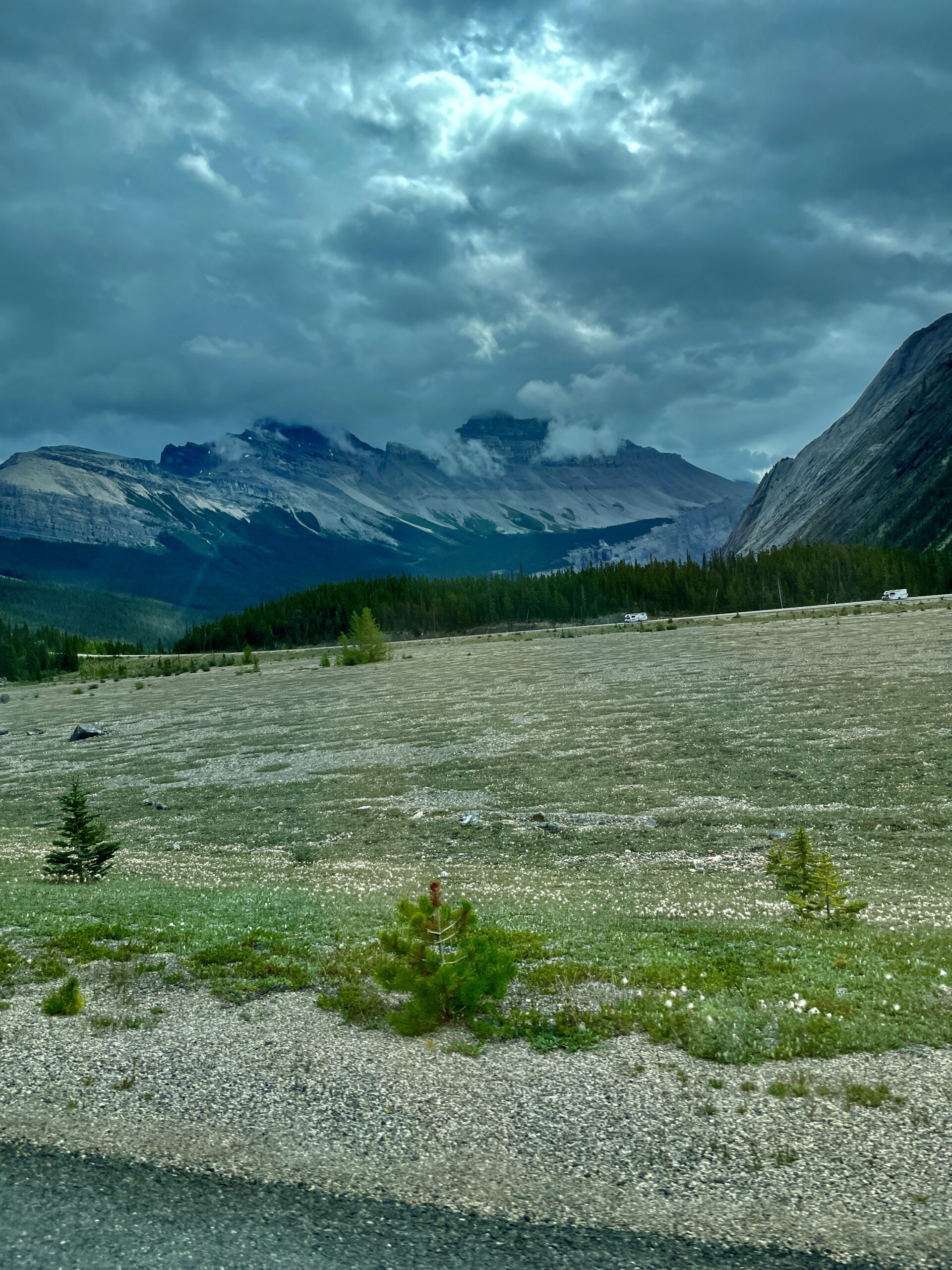
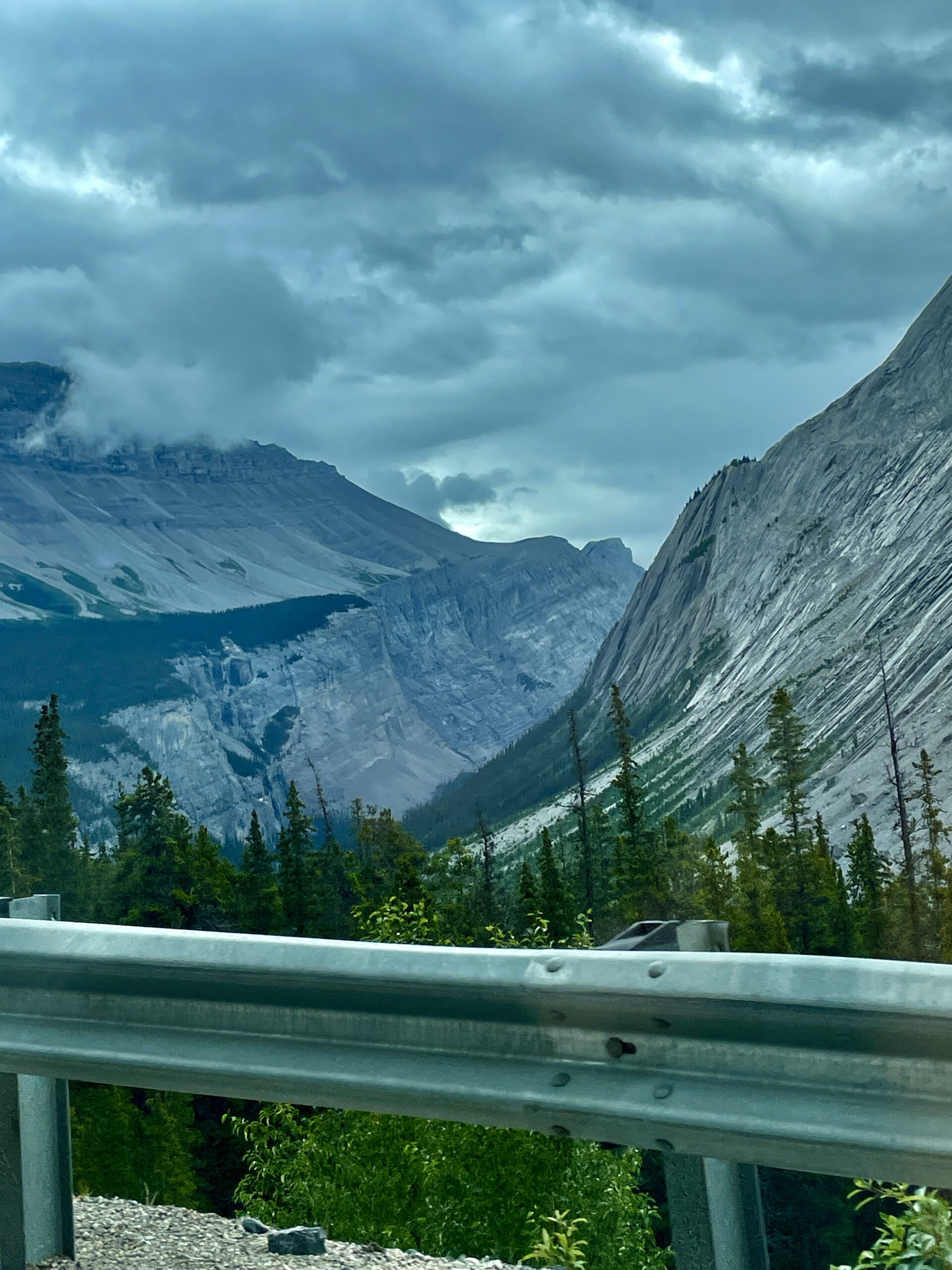
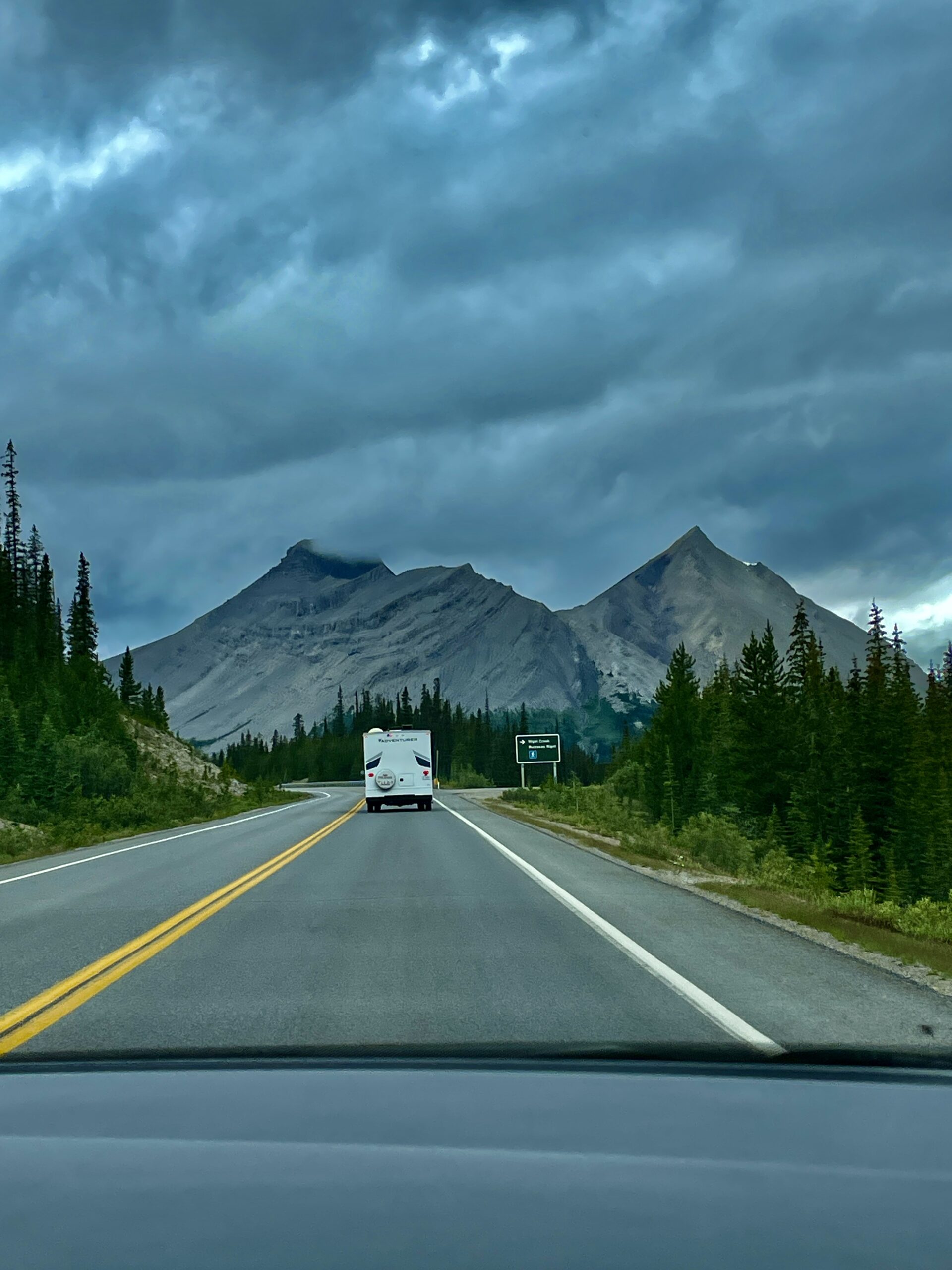
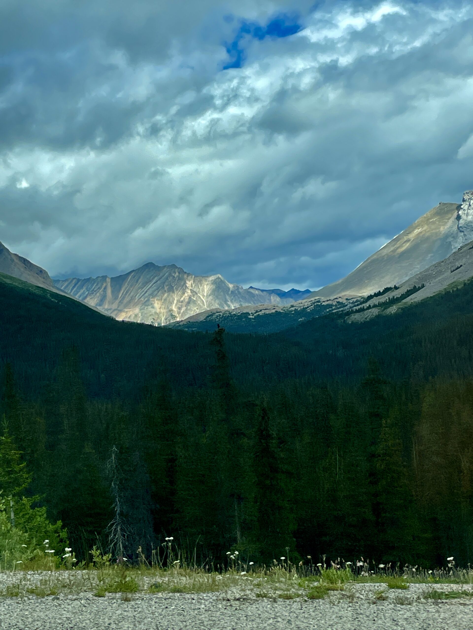
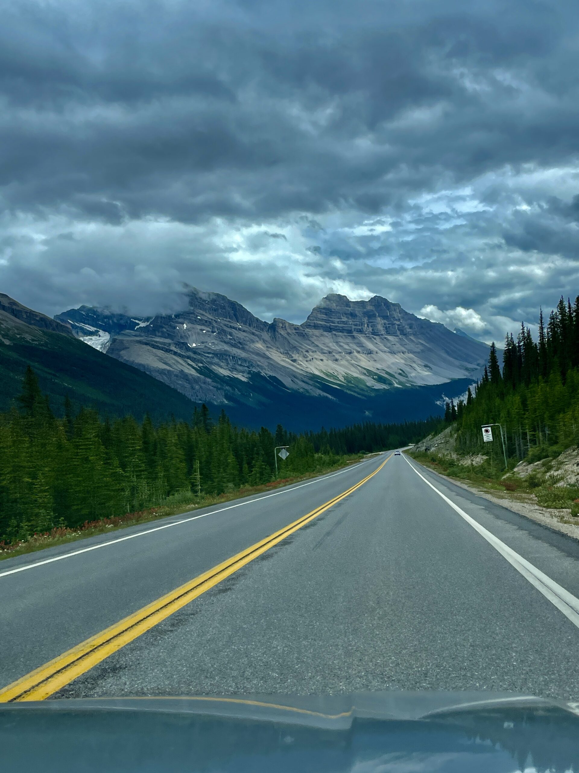
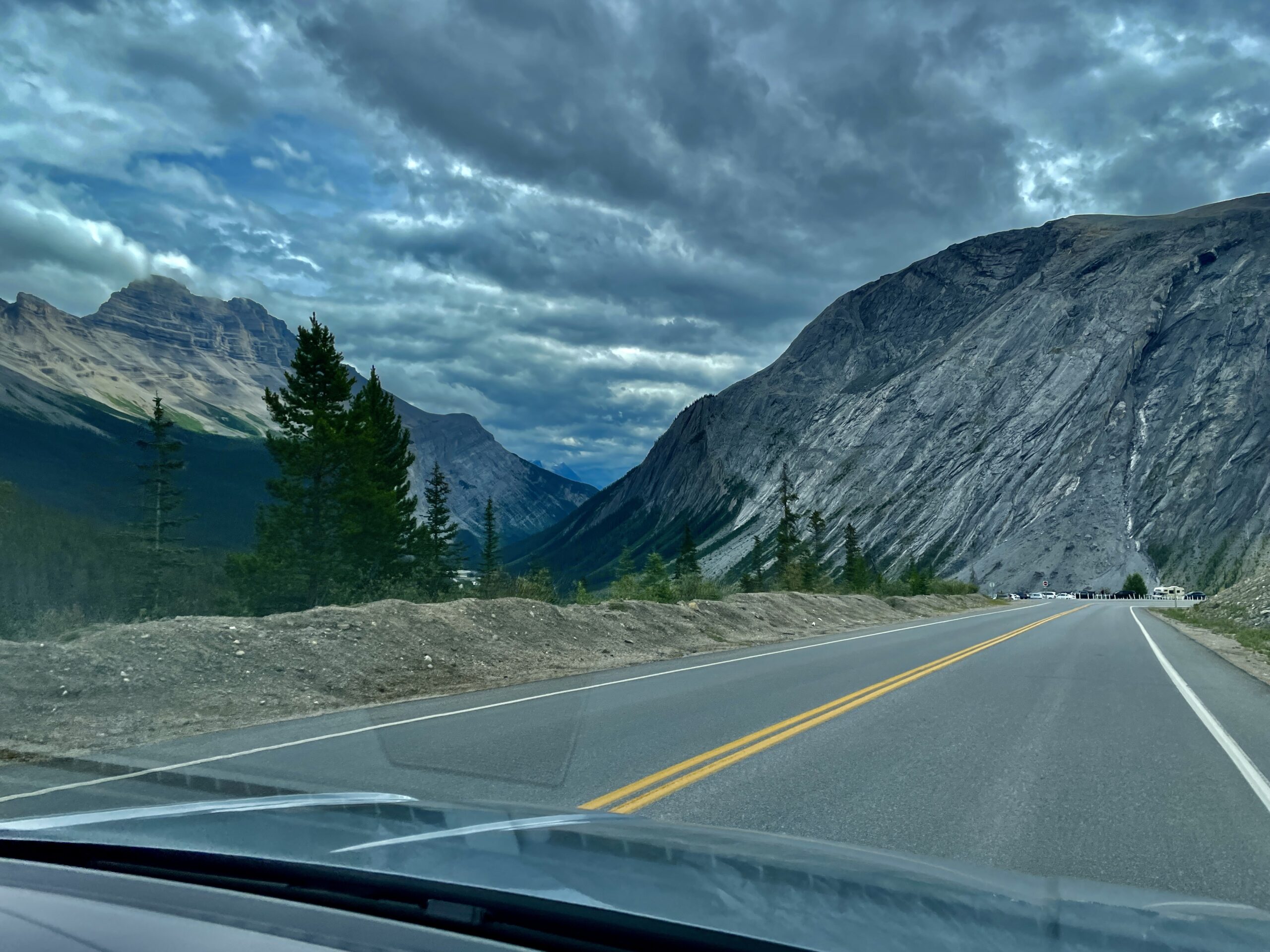
Here’s the first honest tip for the day: allow twice the time your sat-nav suggests. We stopped almost every kilometre, fell behind schedule, and nearly missed our slot — then spent thirty minutes finding a parking spot, which we hadn’t planned for. And the second, critical tip: there’s almost no cell signal along the Parkway, so download offline maps at home — on the road it’s too late.
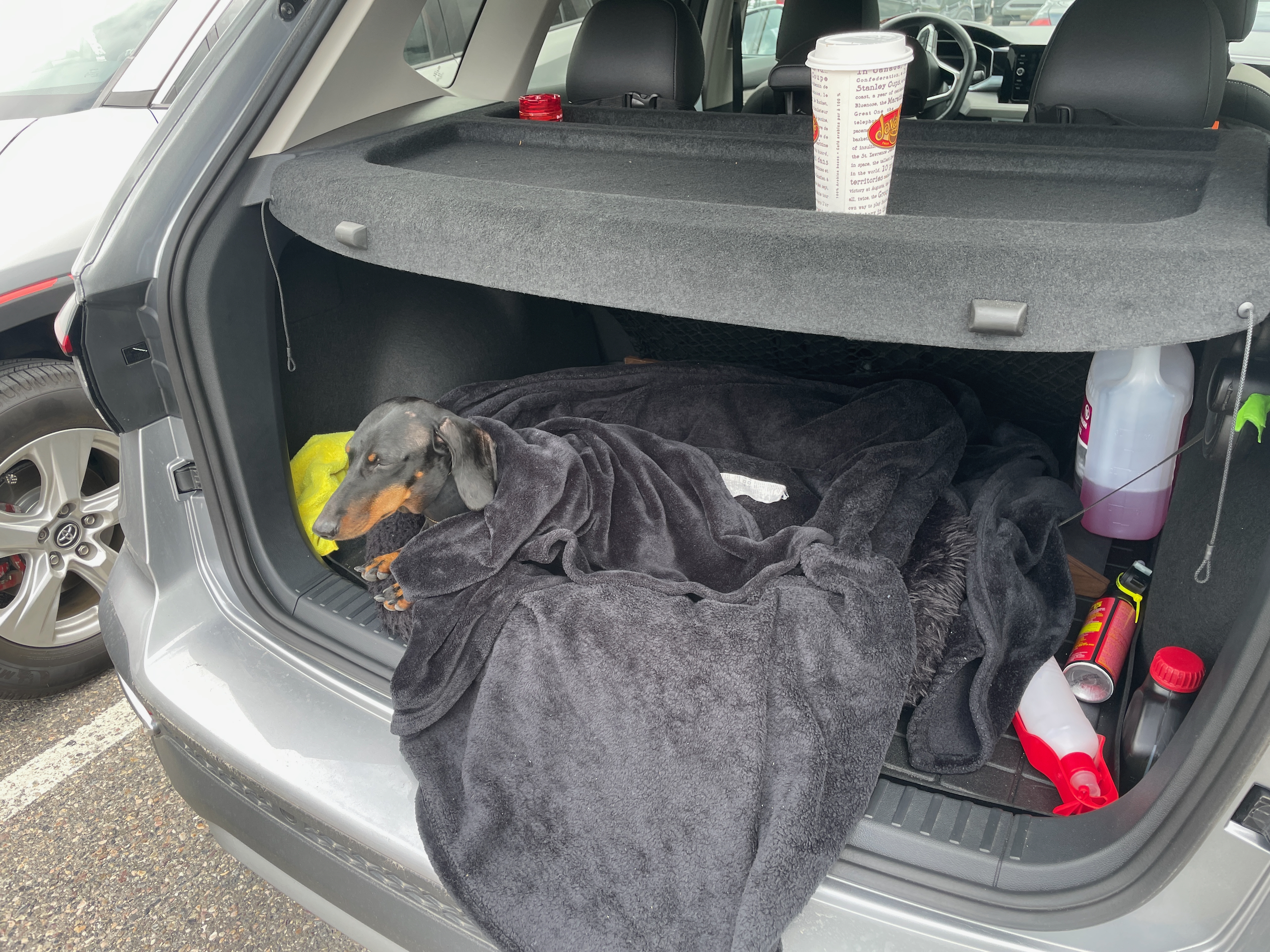
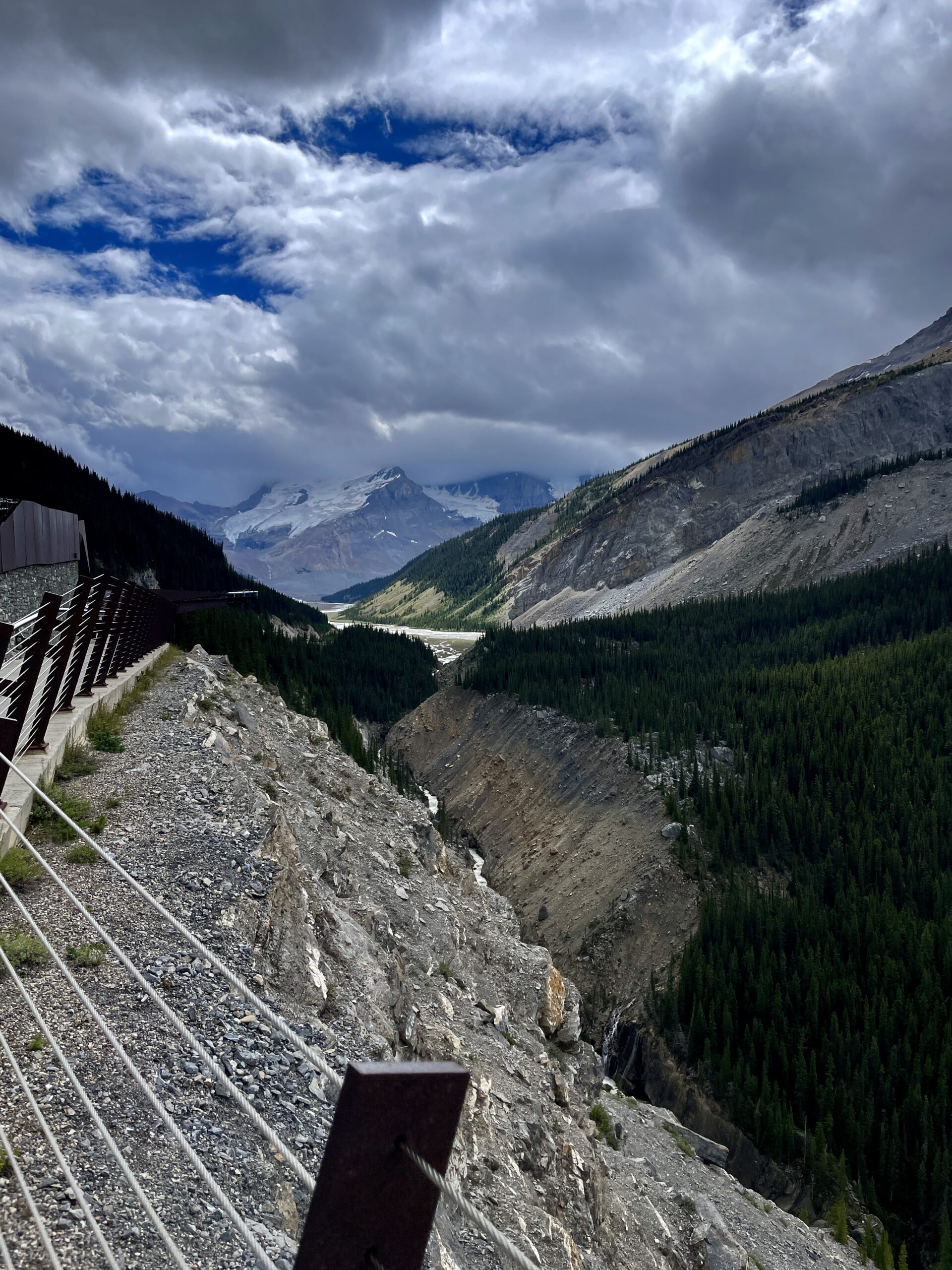
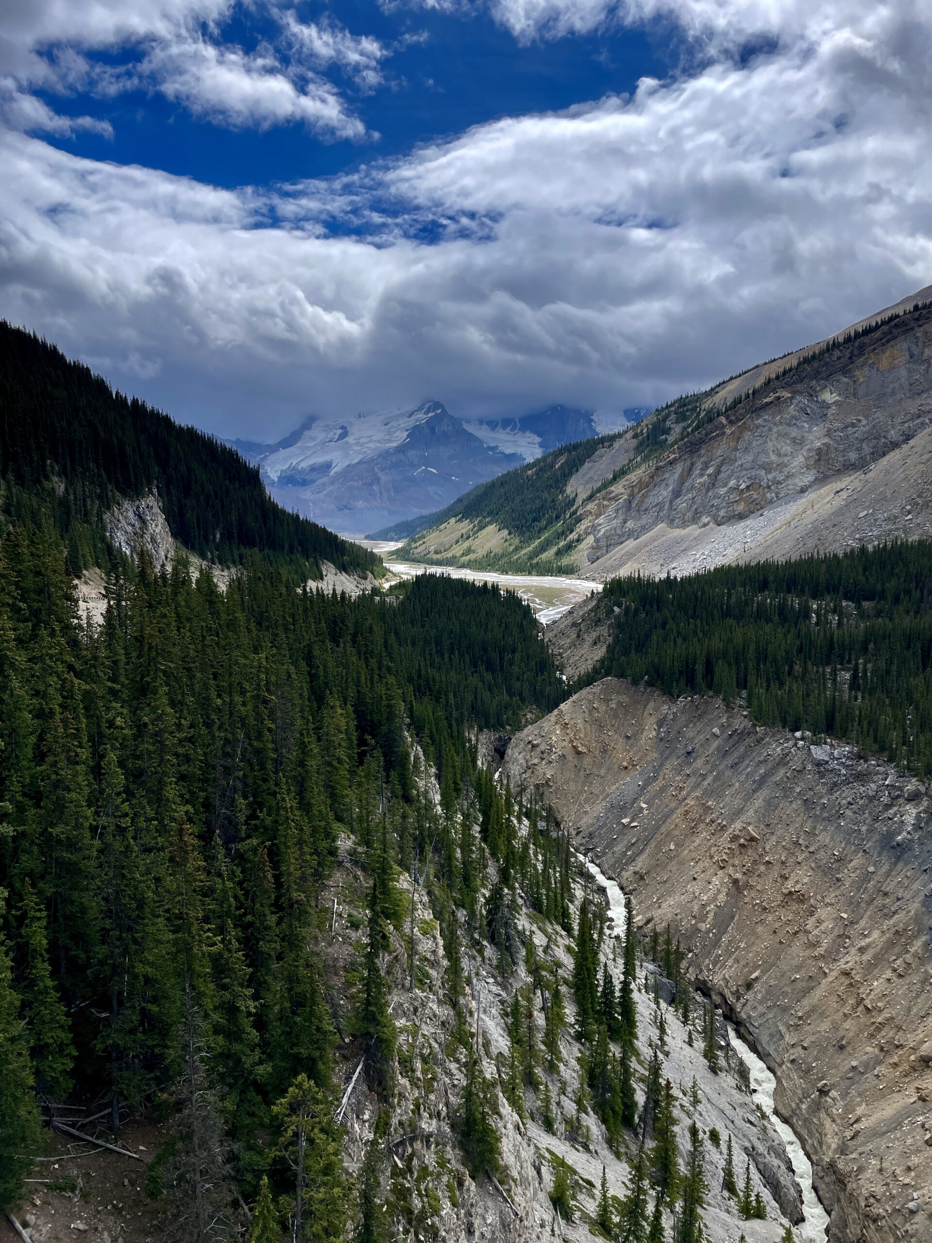
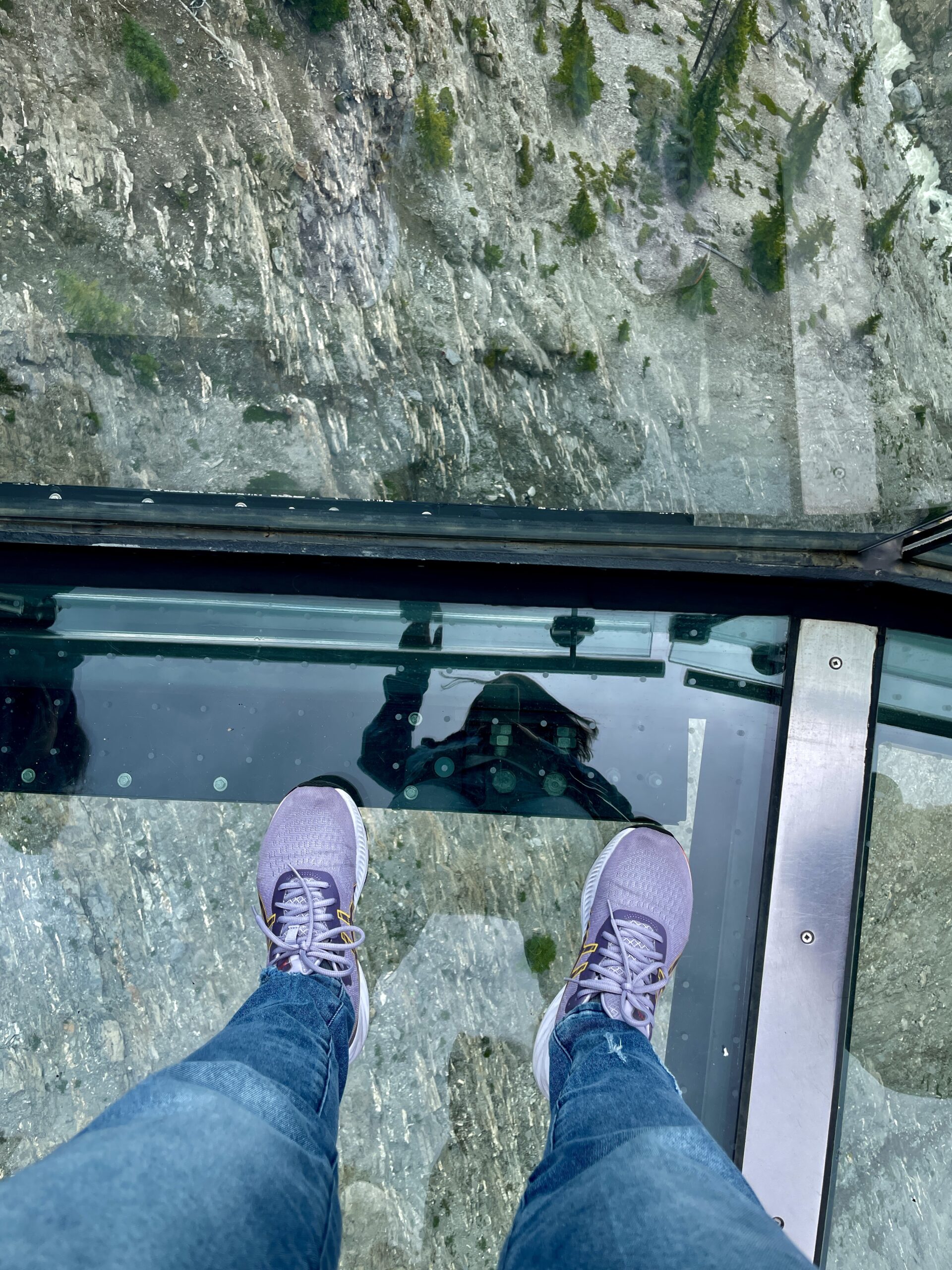
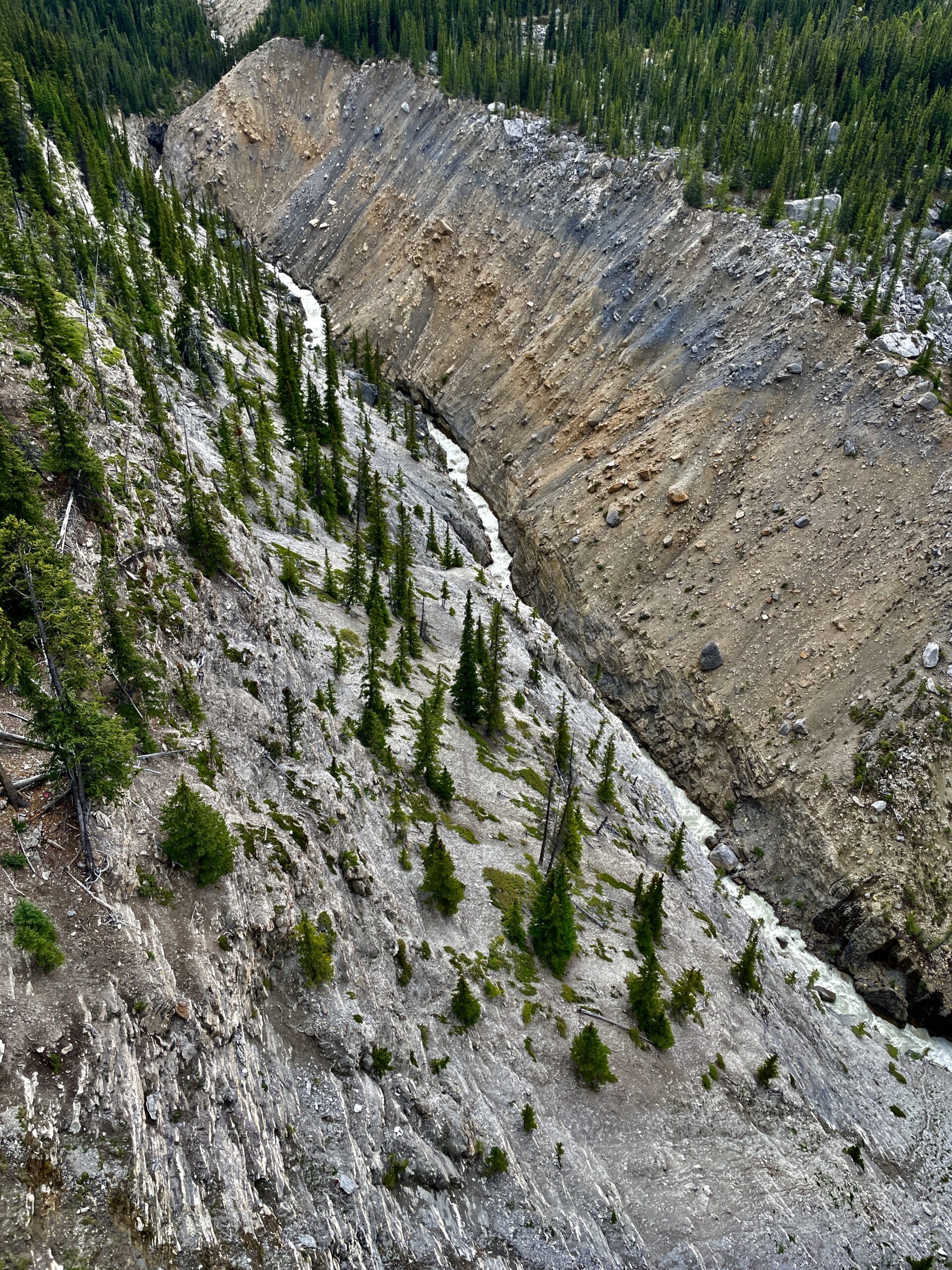
The Skywalk itself is a horseshoe-shaped, glass-floored platform that juts out from the cliff above the Sunwapta Valley at about 280 metres. You stand on a transparent “floor” with a chasm beneath you — a thread of river and glaciers hanging in the side valleys. It sits by the Columbia Icefield, the largest icefield in the Rockies, whose meltwater feeds rivers to three ocean basins. At the desk they happily moved us to the next departure, but warned: no dogs on the platform or the shuttle (the buses are enclosed, and it applies to all these tours). So only my wife went up to see it, while Nika and I stayed below. It stung a little — we’d wanted to share the moment as three — but rules are rules. Nika and I kept busy: first we wandered the gift shops together, then came back to the car, where I had a coffee while she settled into the open trunk with a mountain panorama, looking like a thoroughly contented dachshund. A tip for anyone going: dress warmly — even in July it’s genuinely cold and windy up by the glacier.
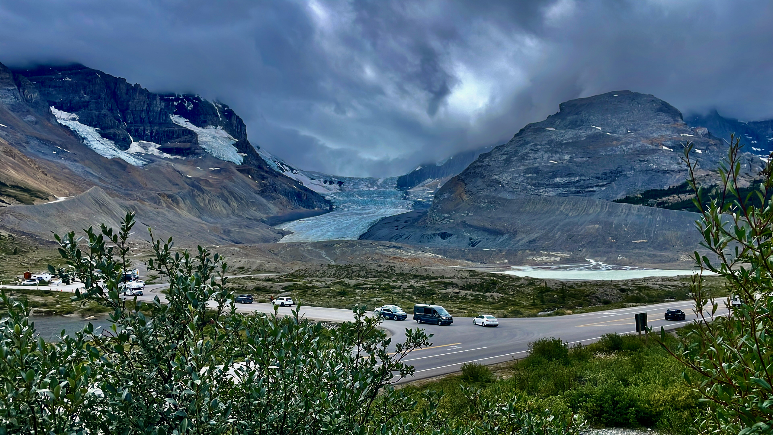
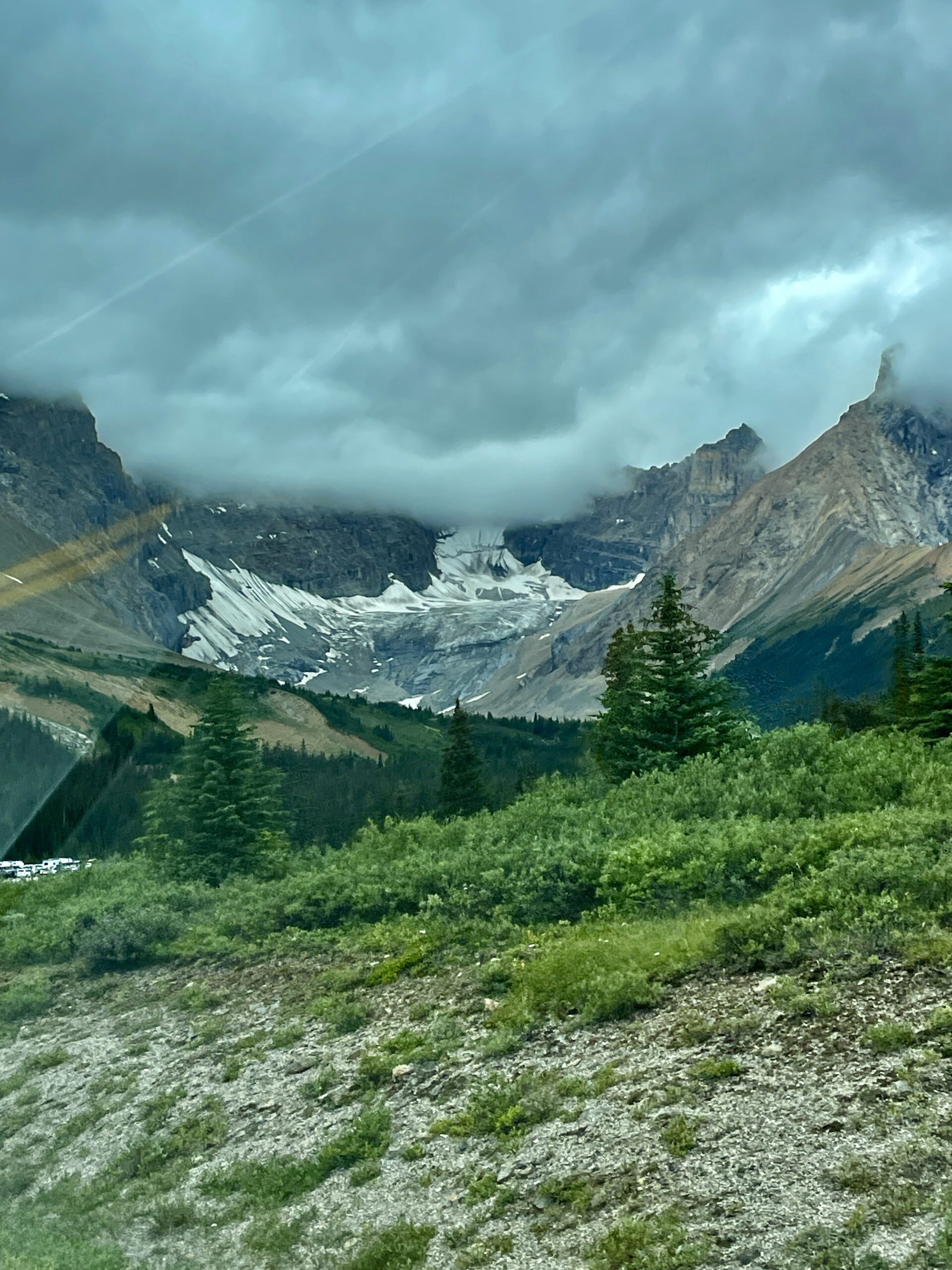
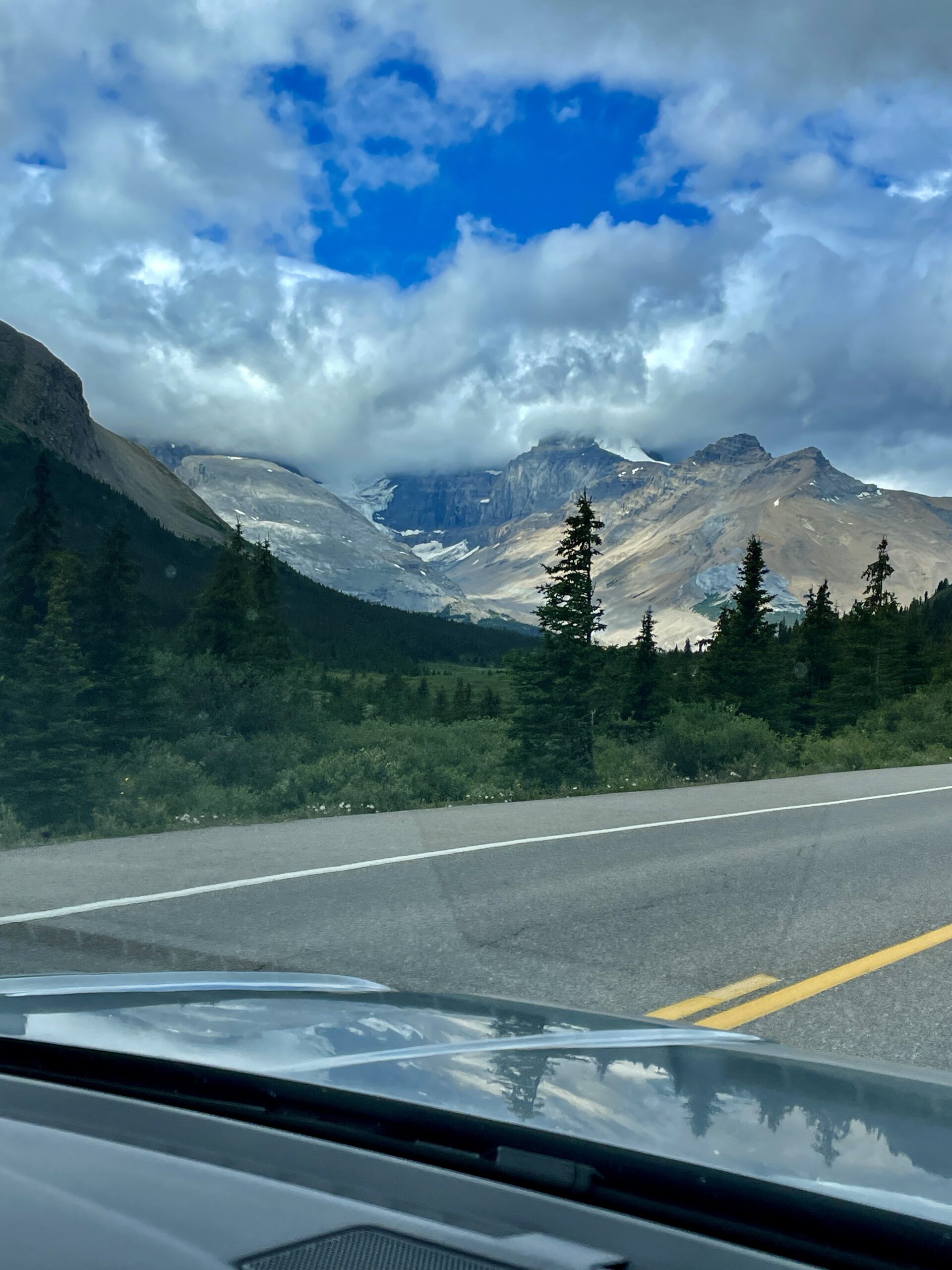
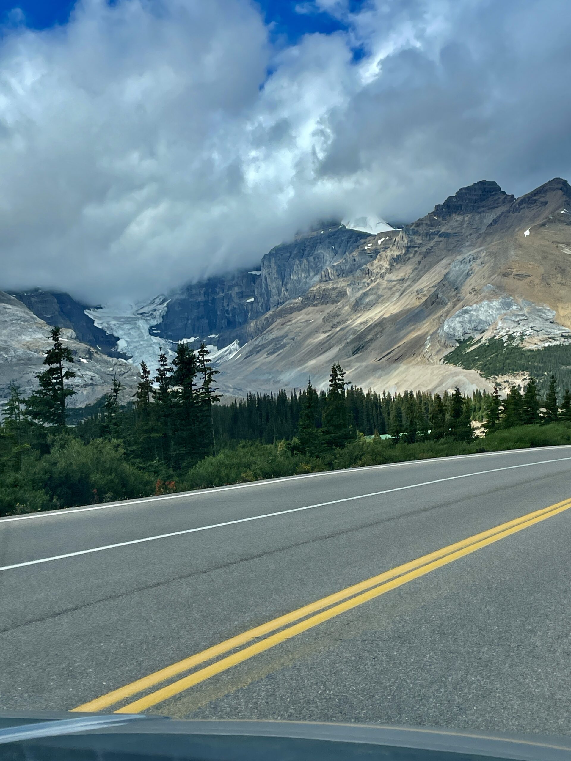
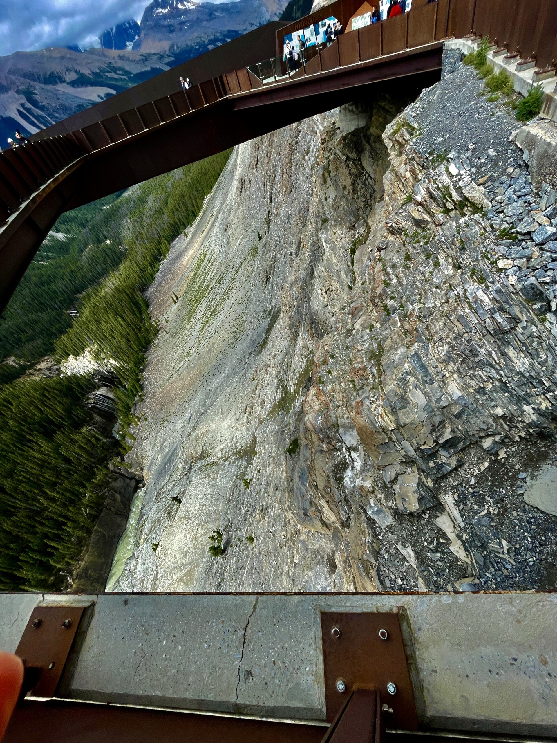
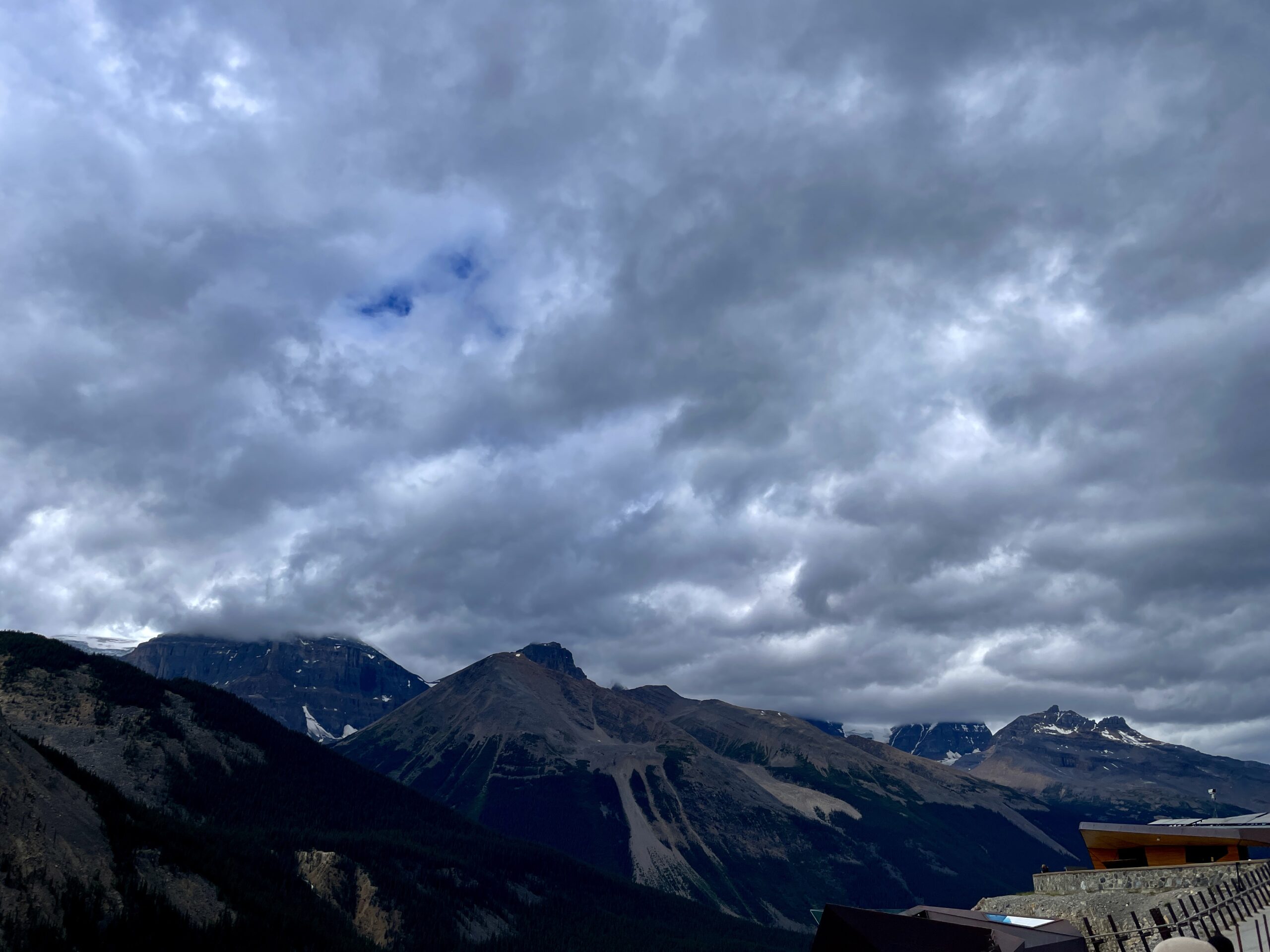
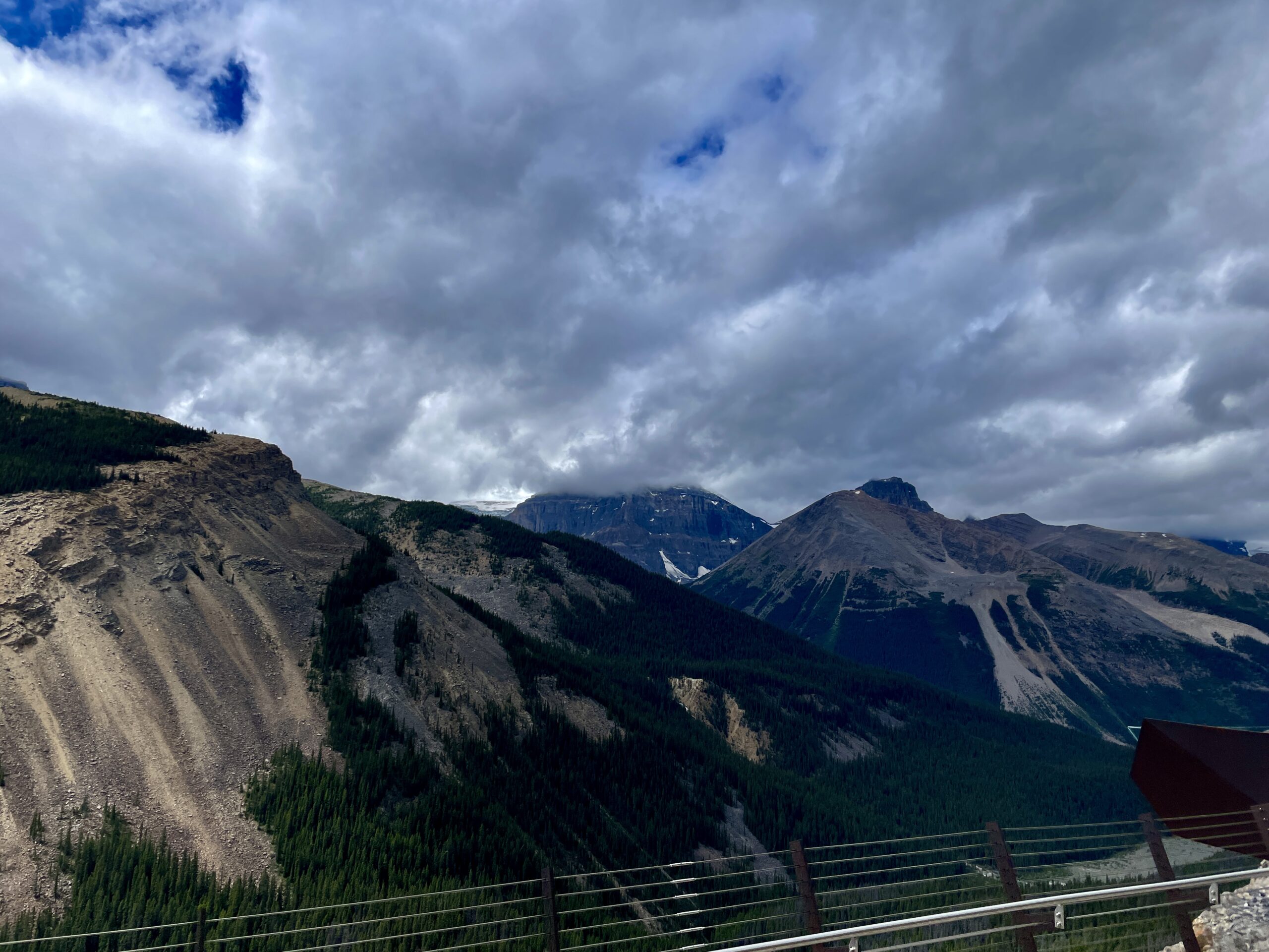
Athabasca Falls and Jasper lay further north, but we deliberately saved them for a separate trip: there and back in a day would only be a glimpse, and these places deserve more. So from the glacier we turned around and drove the same Parkway south — this time stopping at the lakes we’d only waved at on the way up.
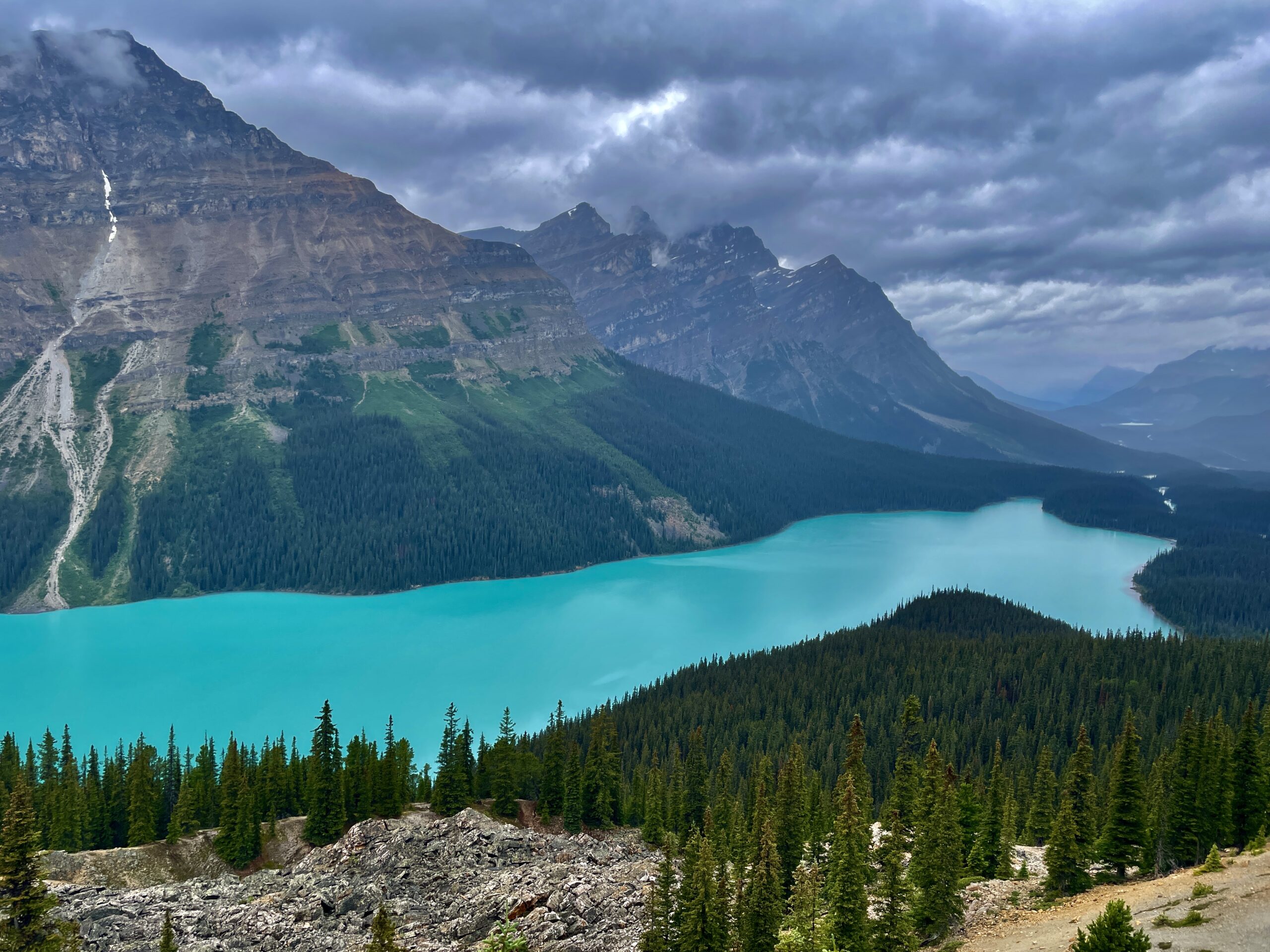
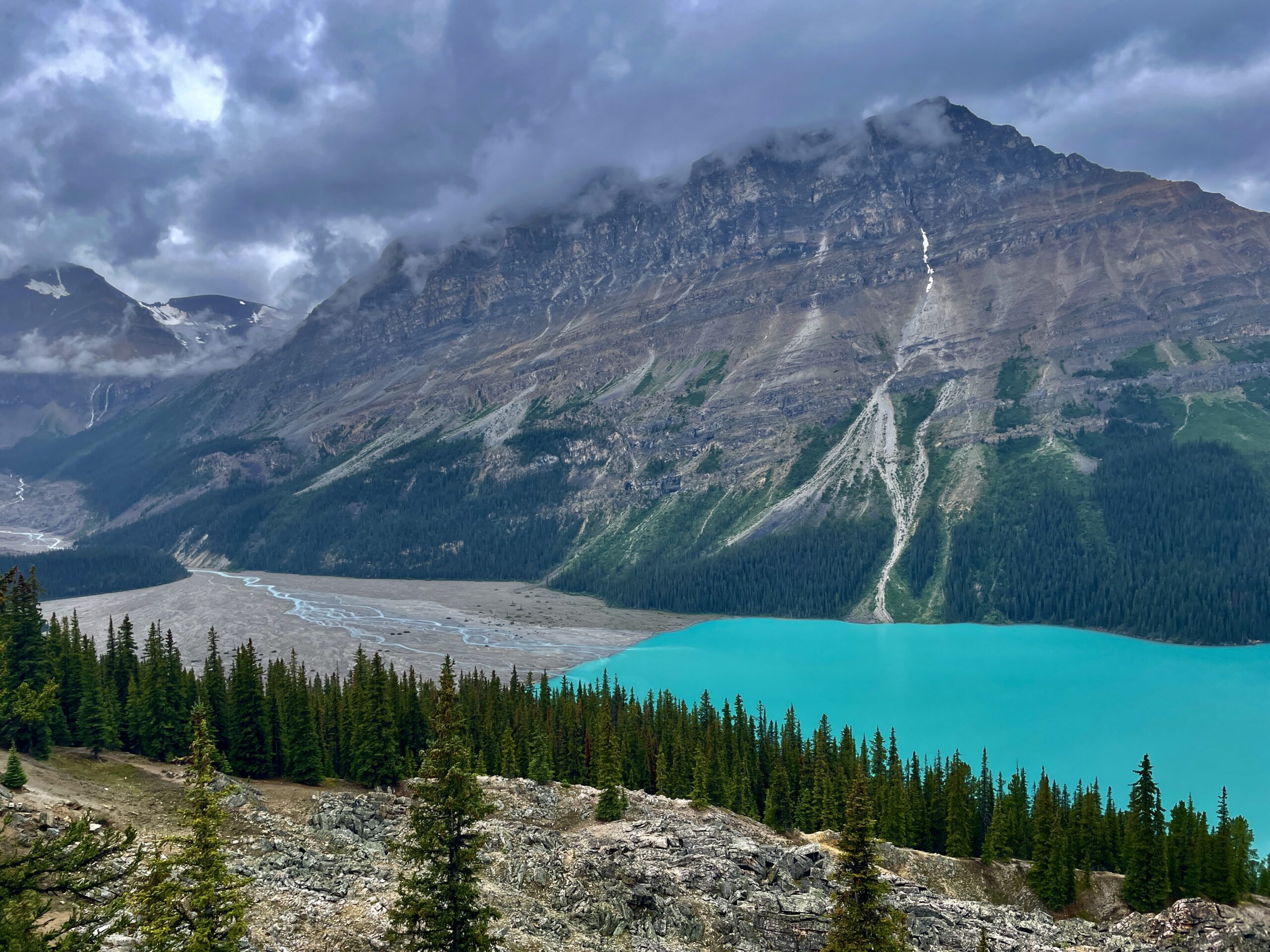
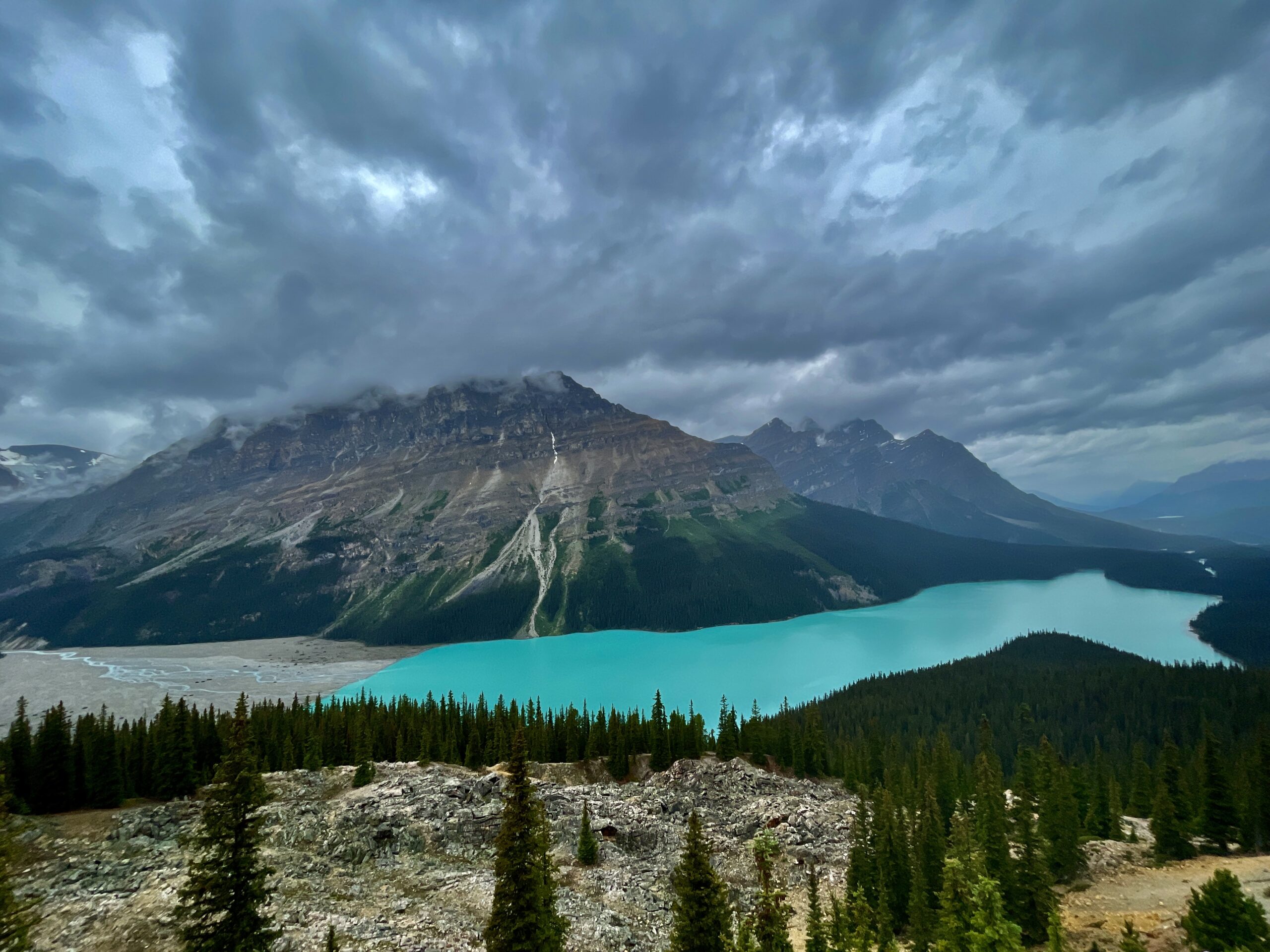
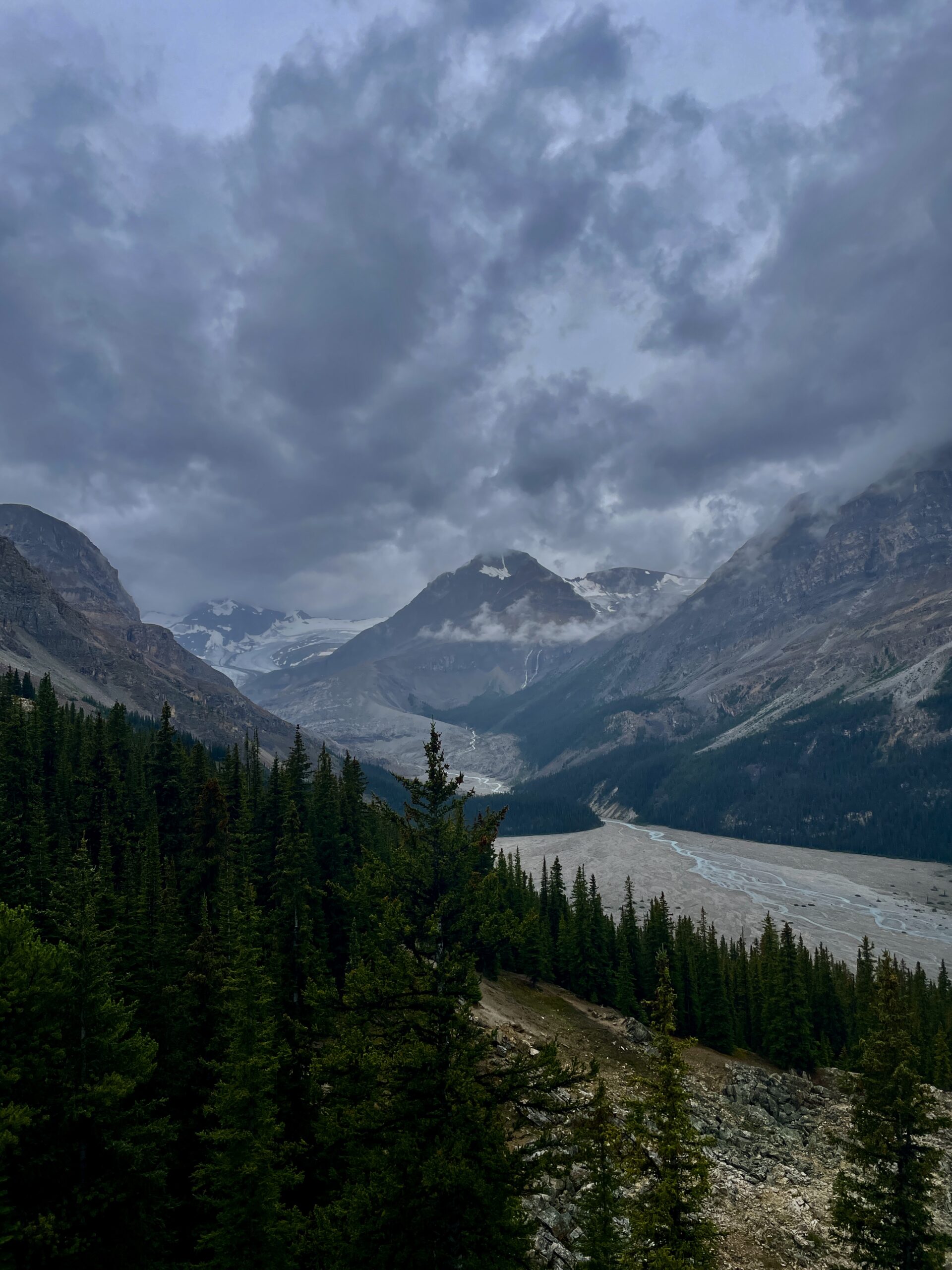
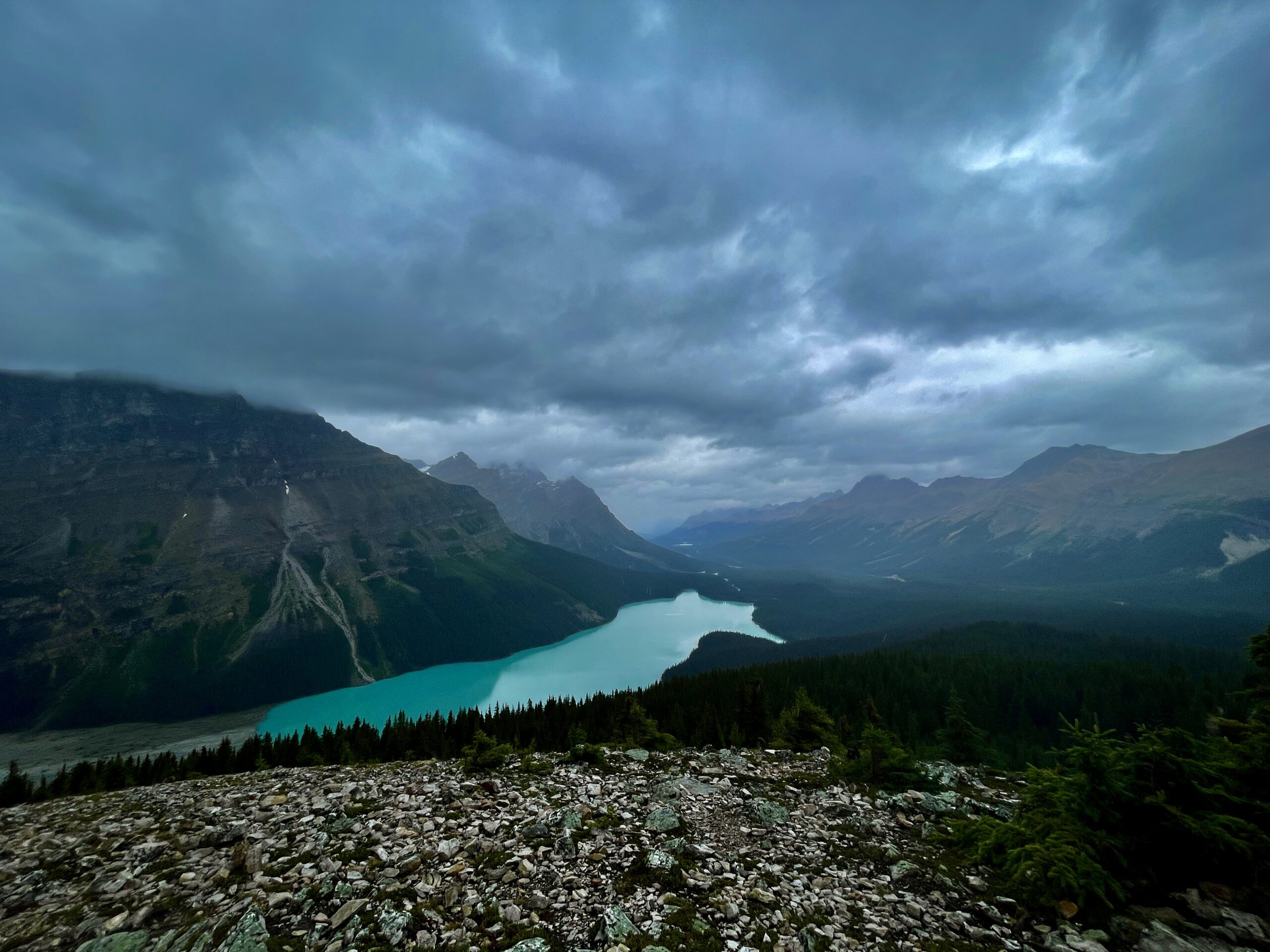
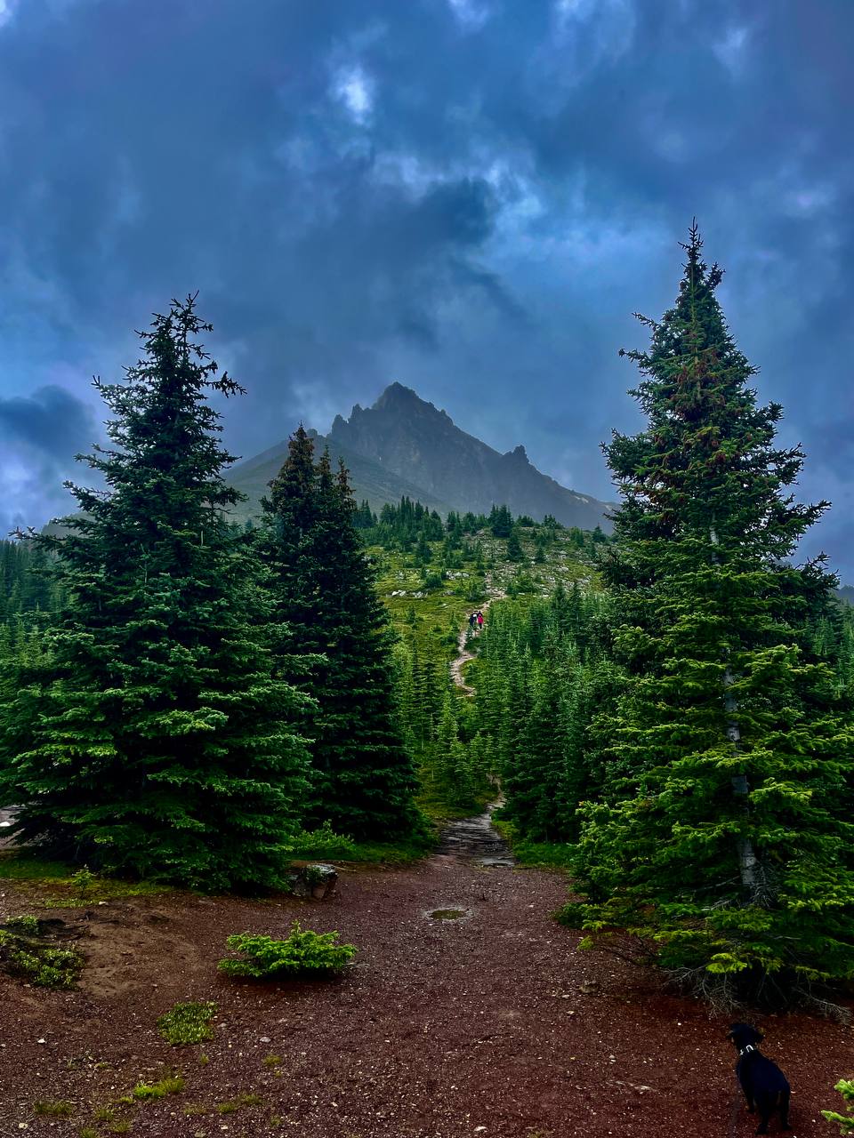
First was Peyto Lake — the turquoise, wolf-head-shaped lake you’ve surely seen in photos. It’s named after Bill Peyto, a legendary and famously colourful mountain guide and one of Banff’s early wardens, and its unusual colour comes from glacial “rock flour”: fine particles suspended in the water that scatter the light. The main platform (a short paved path away) gives the classic view, but we carried on — up one of the trails to the upper lookout at Bow Summit, the highest point on the whole road (about 2,070 m). A drizzle set in, and the last stretch became a climb over wet rock, so we kept it simple: one of us stays below with Nika, the other goes up. My wife went up first, then me; while I was at the top, she and Nika made their way slowly down to the car, and I caught up with them there at the bottom. I’ll put it this way: the climb is worth it. From above, the lake opens up completely differently — deep turquoise set in a frame of peaks — and even through the rainy haze it’s the kind of sight that makes you forget your wet feet for a few minutes. Simple advice: wear grippy soles and pack a rain jacket — mountain weather turns in a flash, and the rock is slick after rain.
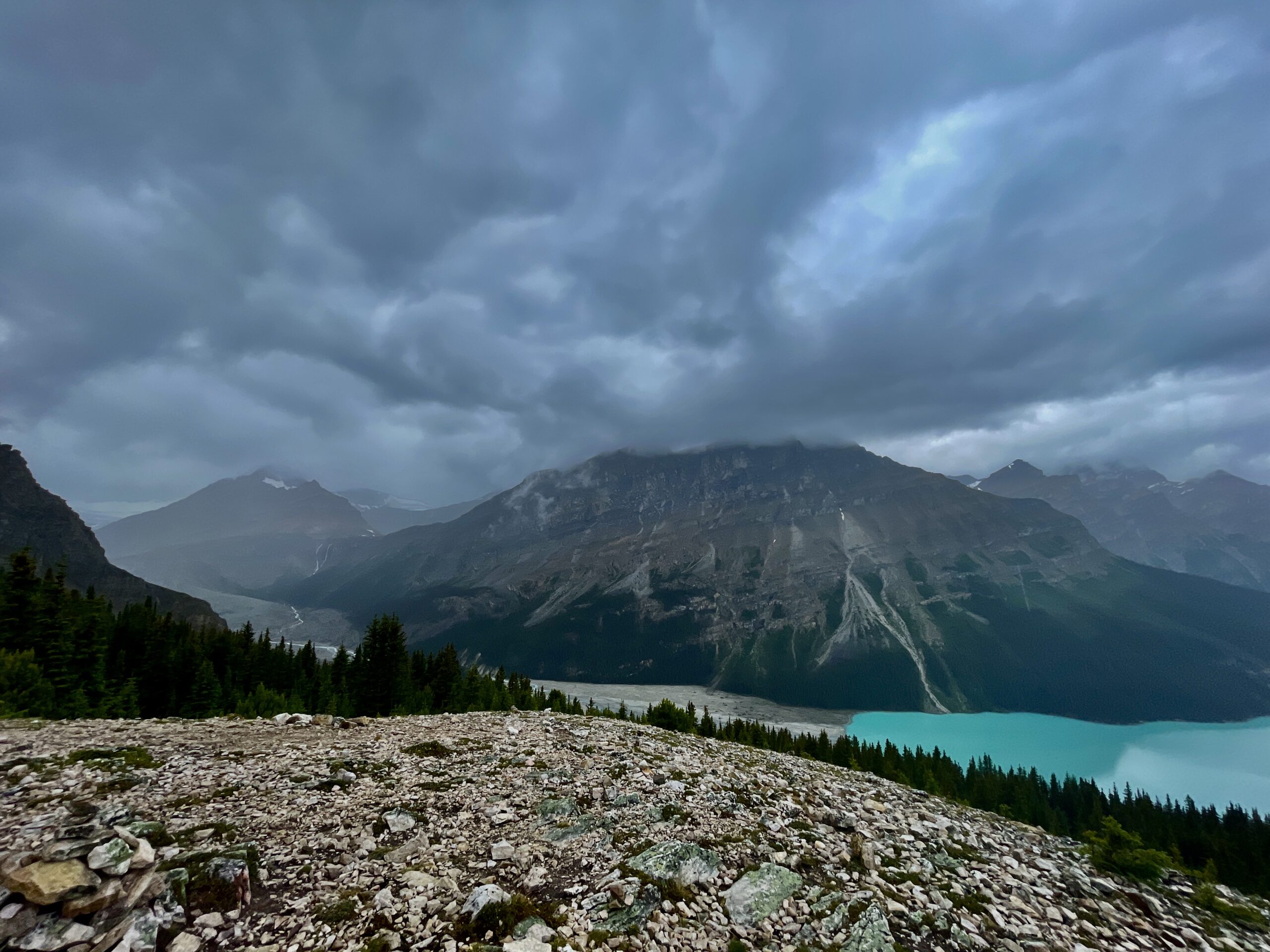
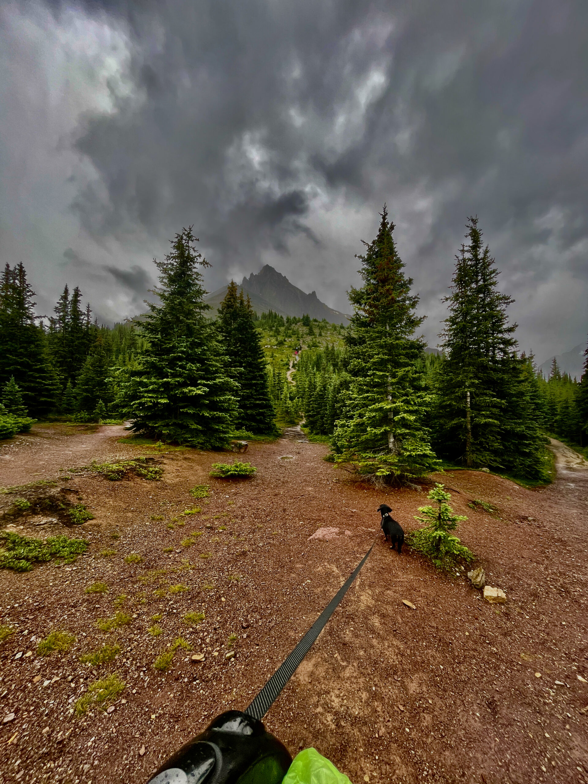
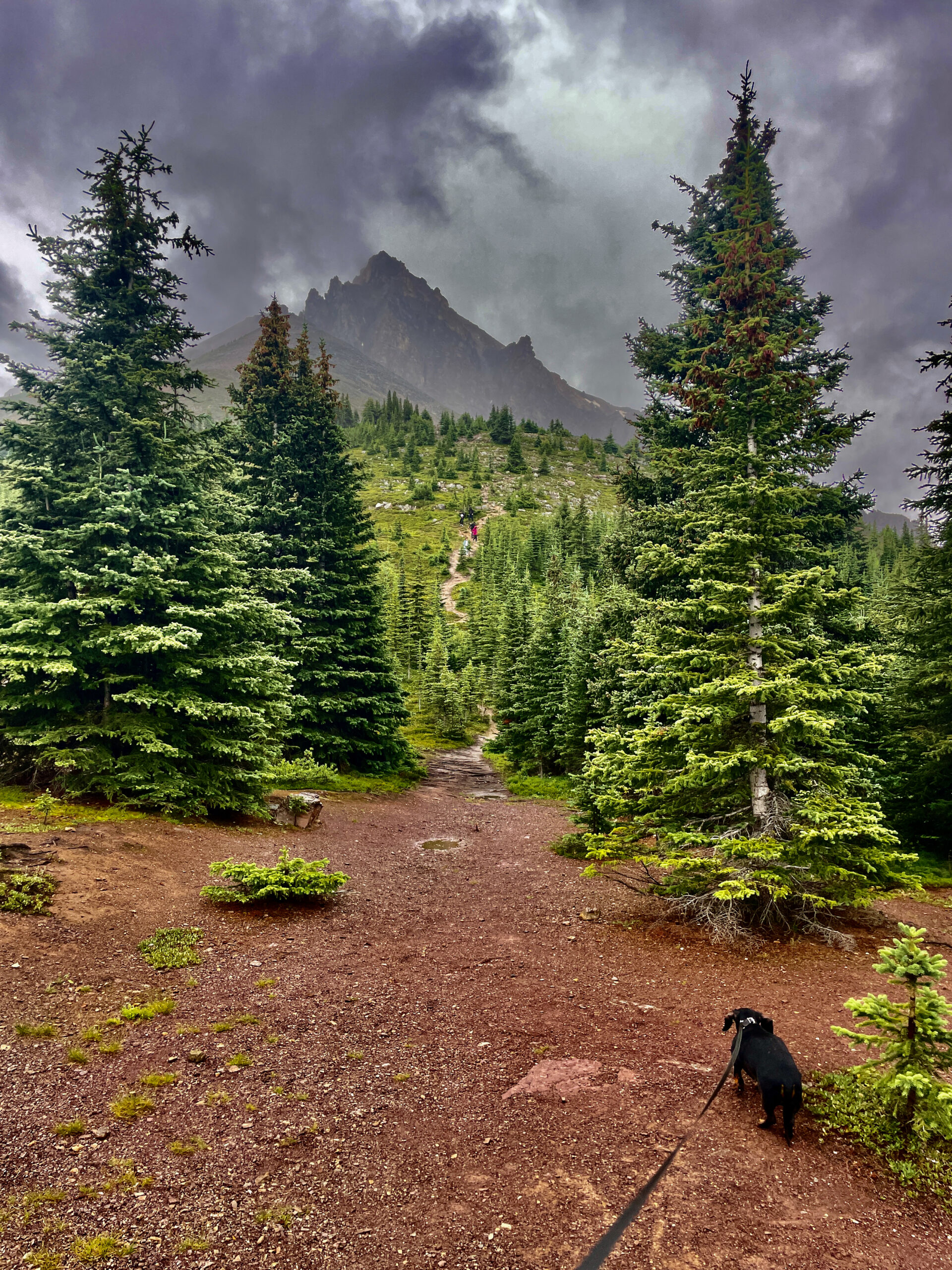
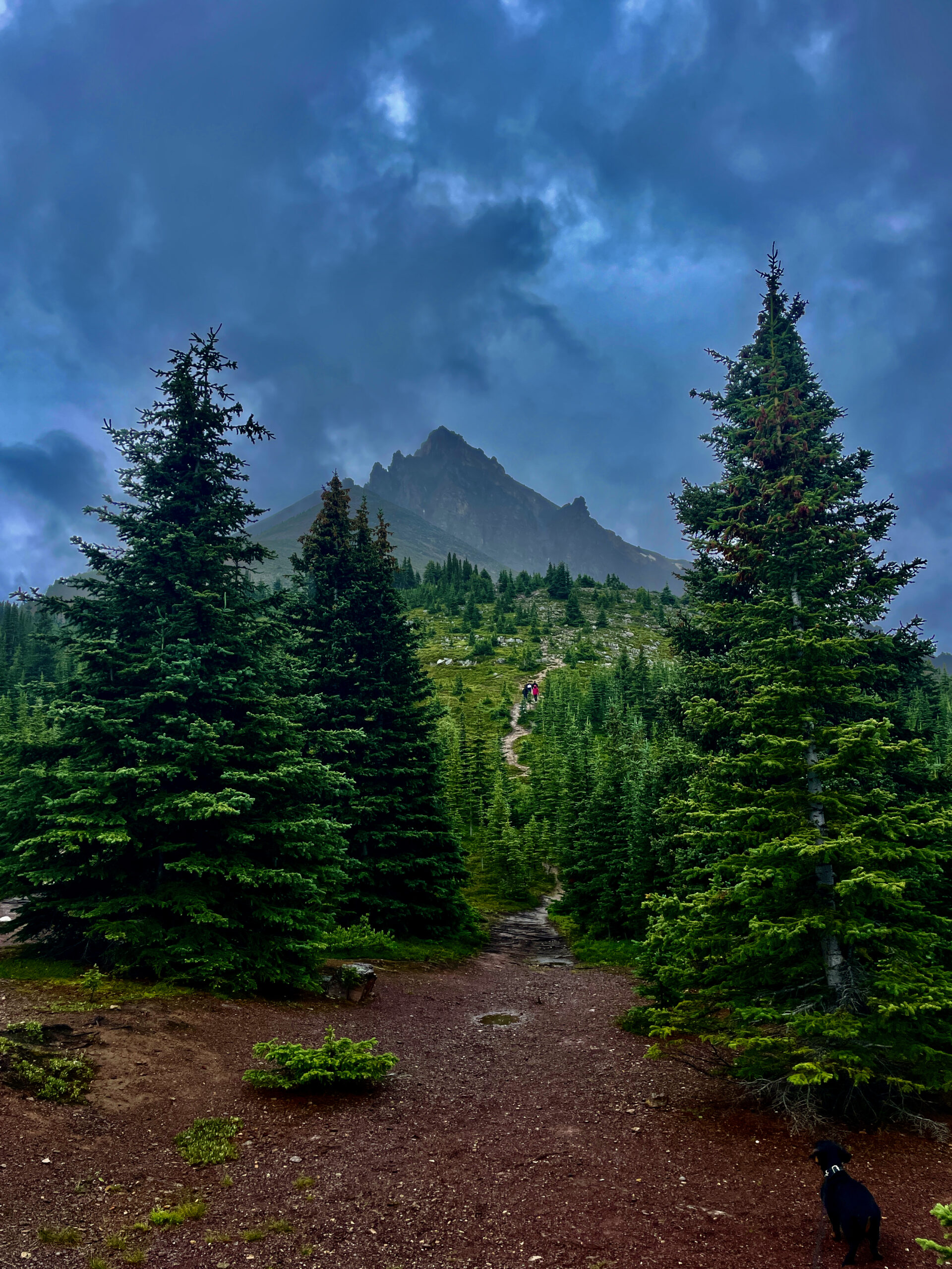
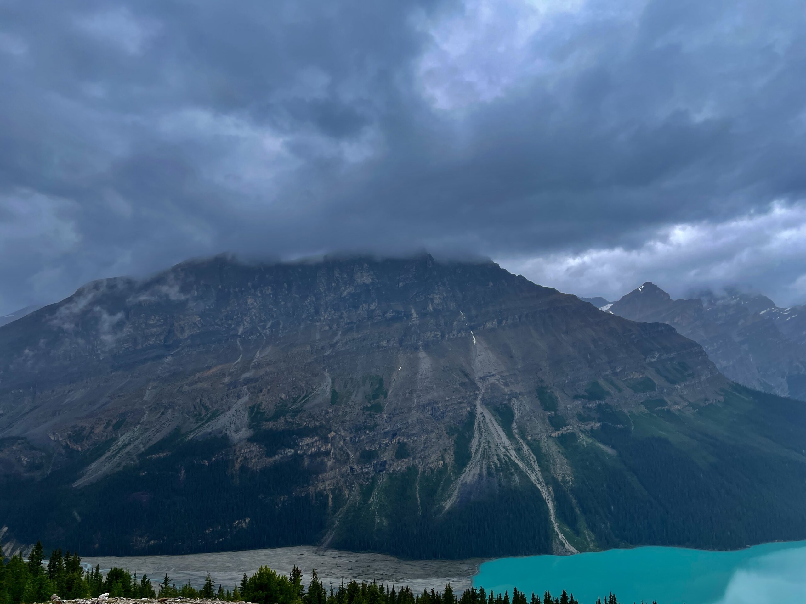
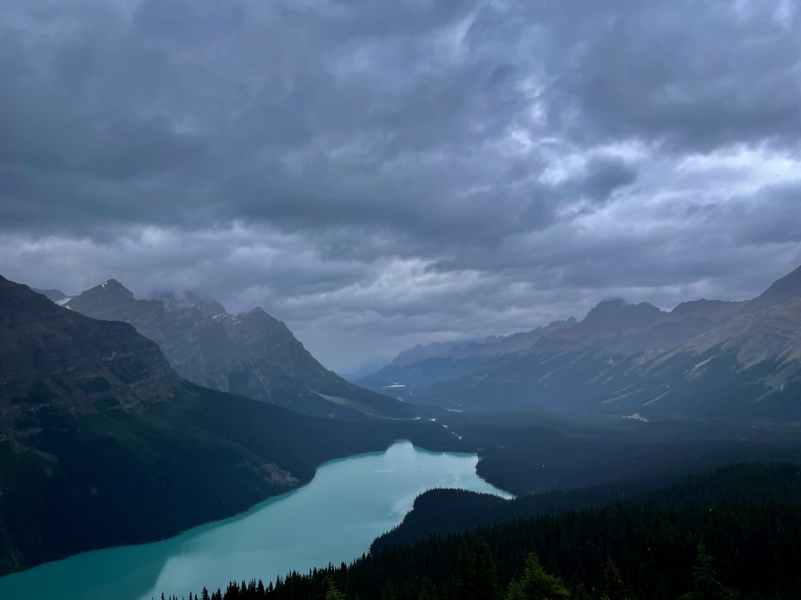
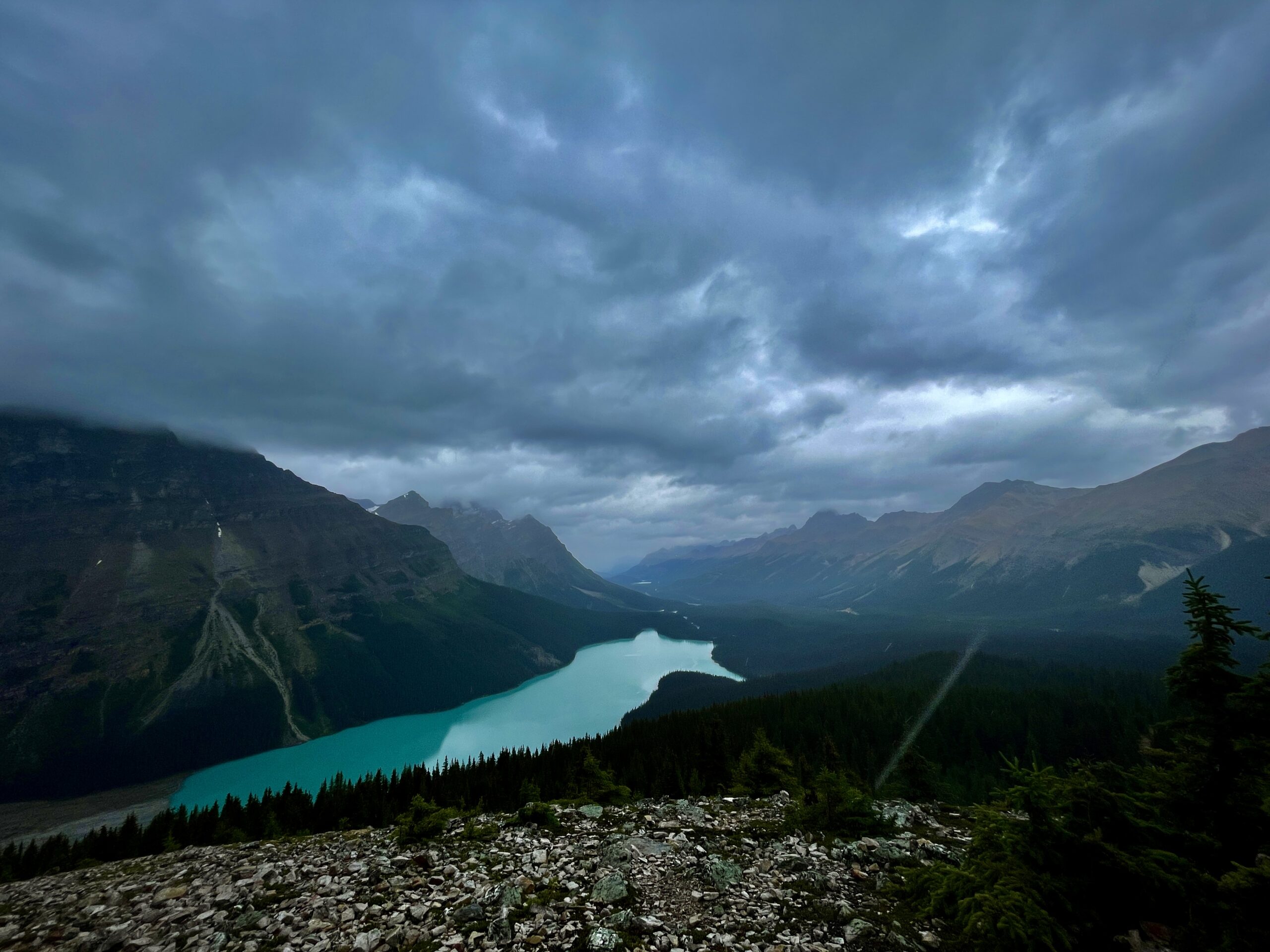
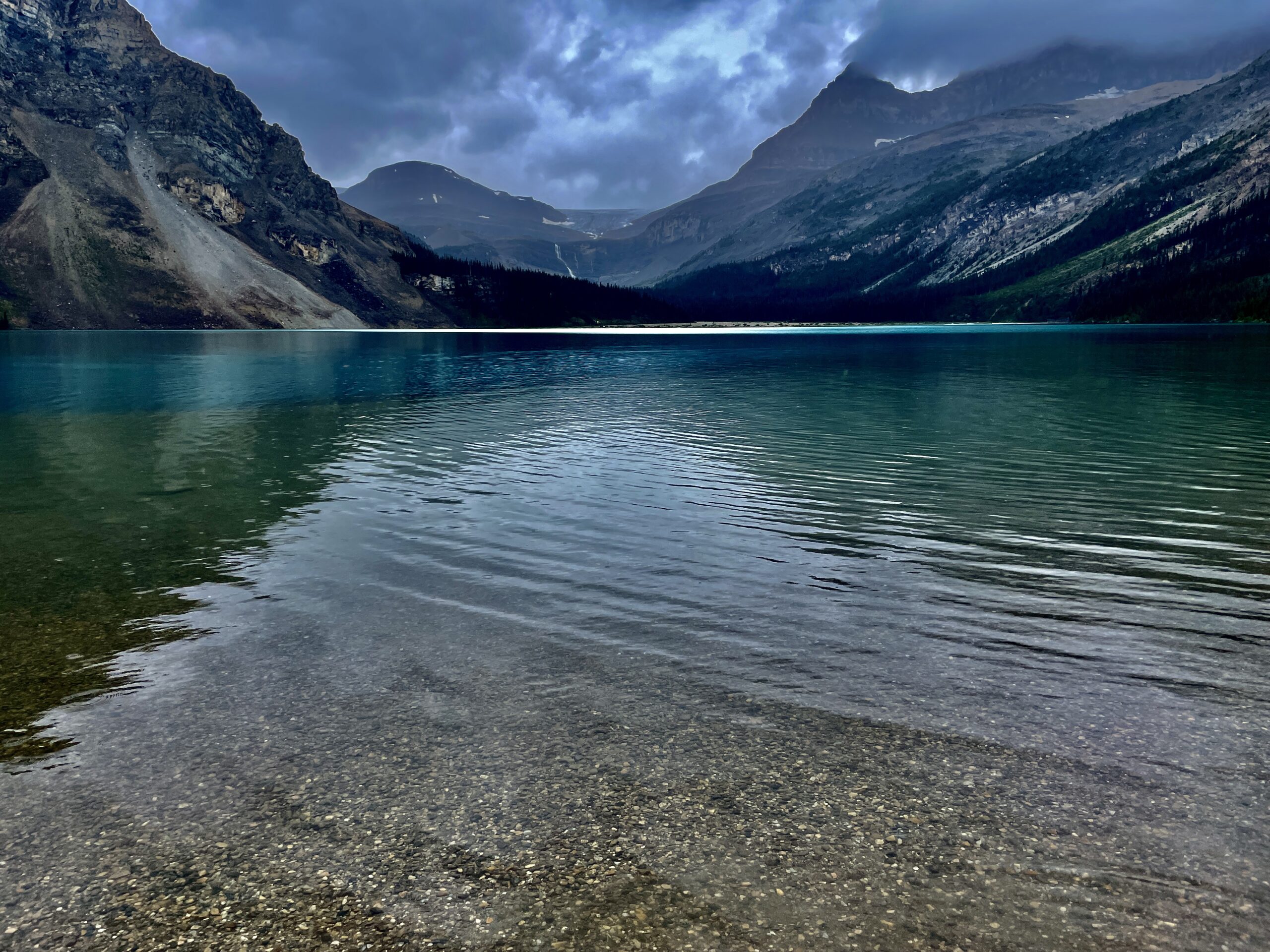
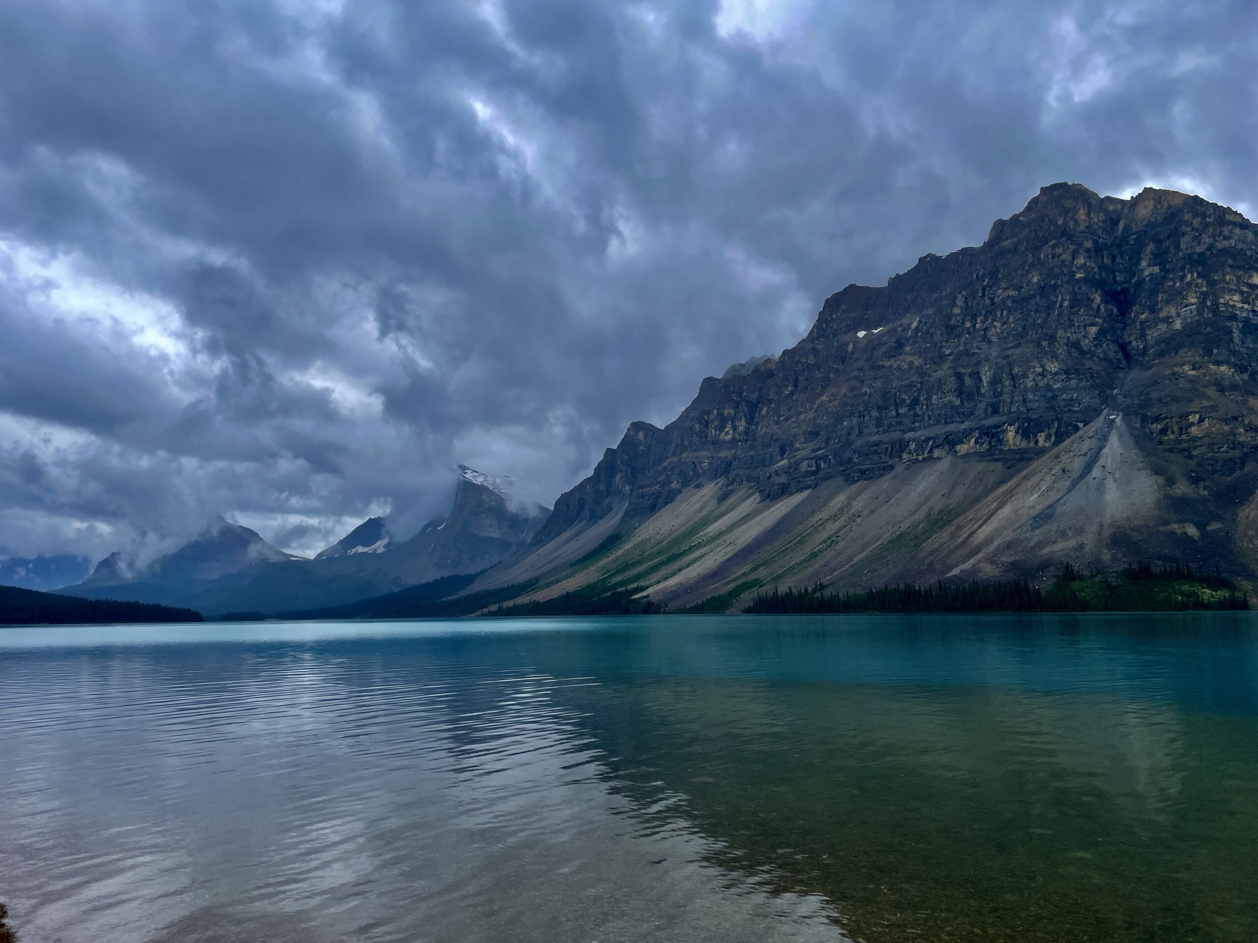
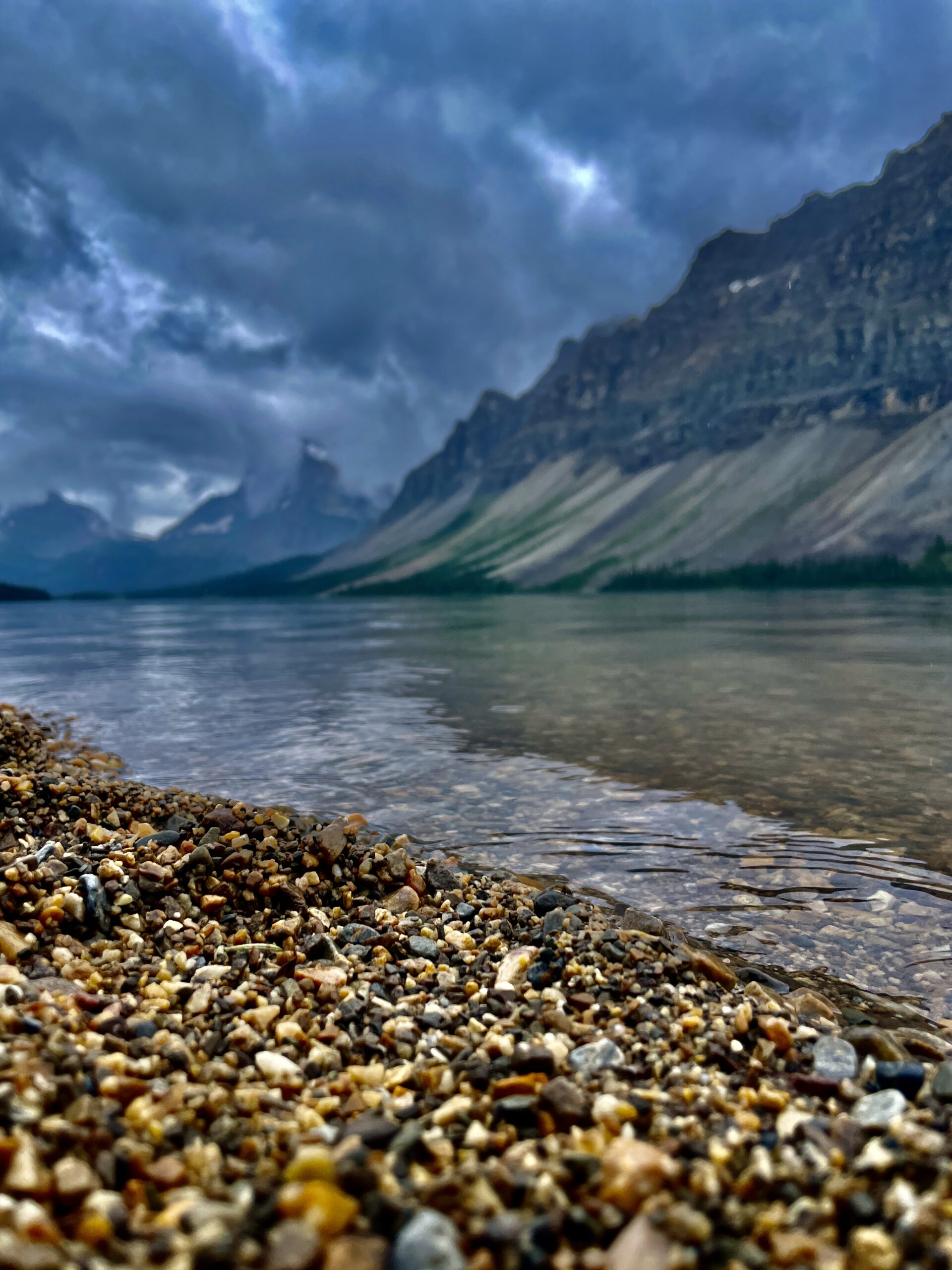
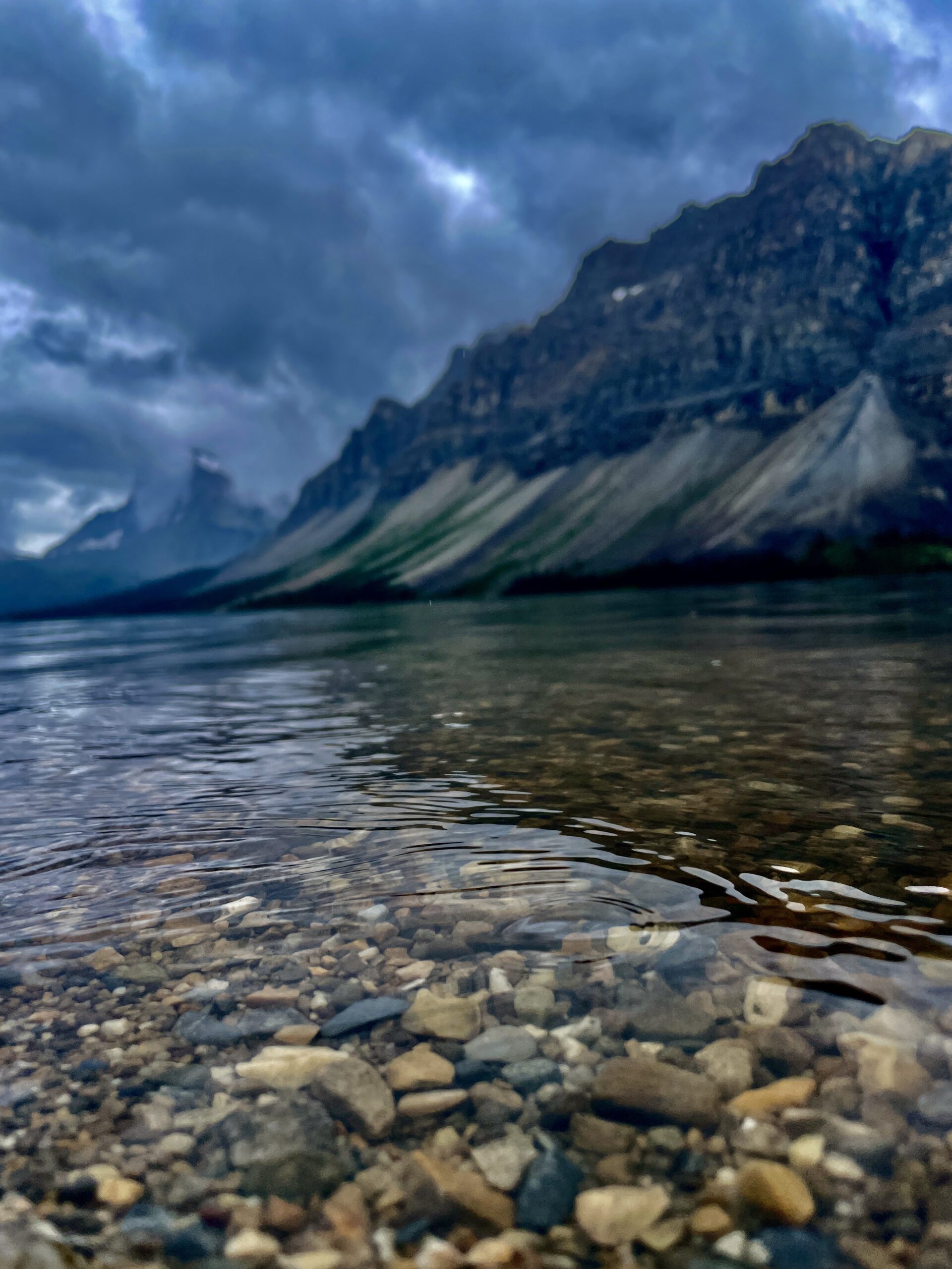
Soaked but delighted, we dropped a little lower and stopped at Bow Lake. This lake is interesting for more than its looks: it’s effectively the source of the Bow River, which begins here its long journey through Banff, Canmore and Calgary. On its shore stands the historic Num-Ti-Jah Lodge, founded by the legendary outfitter Jimmy Simpson — who, as it happens, learned the trade from Bill Peyto himself. We got out a thermos of hot coffee and walked the shore in that same fine rain for about an hour. The water is icy even in warm weather (it’s glacier-fed), yet a few brave souls were swimming anyway. On the way back we made one more short coffee stop at Ghost Lake — a calm reservoir dotted with boats and yachts that had caught our eye on the way out. “Home” again, the usual ritual waited: a fire, meat, wine and marshmallows over the flames. A pleasant tiredness, quiet, and the feeling of a day well spent.
Day 3: Lake Louise and Emerald Lake
We’d prepared for Lake Louise: everything we’d read said you have to grab a parking spot at dawn, so we set out to be there before 7 a.m. Imagine our surprise when, at seven, it was already jammed solid — and, as we later learned, in peak season about three-quarters of vehicles get turned away here. We rolled back to the village of Lake Louise, parked at a gas station (30 minutes allowed) and thought it over with a coffee. We ruled out walking quickly: it’s about four kilometres and an hour to the lake, the road isn’t built for pedestrians, and there’s nowhere to leave a car for long. So we simply went back and tried again. What did the trick is hard to say: maybe that we honestly explained we’d come from far away and had a short window, or maybe that the parking staff spotted Nika in the car and melted. Either way, they found us a spot and kindly waved us in.
And here a bit of history is in order, because behind the postcard lies a whole era. The Stoney Nakoda long knew this lake as the “Lake of the Little Fishes.” The first non-Indigenous person to see it, in 1882, was railway worker Tom Wilson, brought here by a local guide, and in 1884 it was renamed after Princess Louise, a daughter of Queen Victoria — the province of Alberta is named for her too. The turquoise comes from rock flour off the Victoria Glacier that hangs above the water. And Lake Louise is called the birthplace of Canadian mountaineering. What you can do here beyond a shoreline photo: walk along the water to the foot of the glacier, rent a canoe, or hike the classic trails to the historic Lake Agnes and Plain of Six Glaciers tea houses, where they serve tea and baking right up in the mountains. We stuck to the shore and a couple of hours of just looking — there’s no putting that beauty into words, you have to see it.
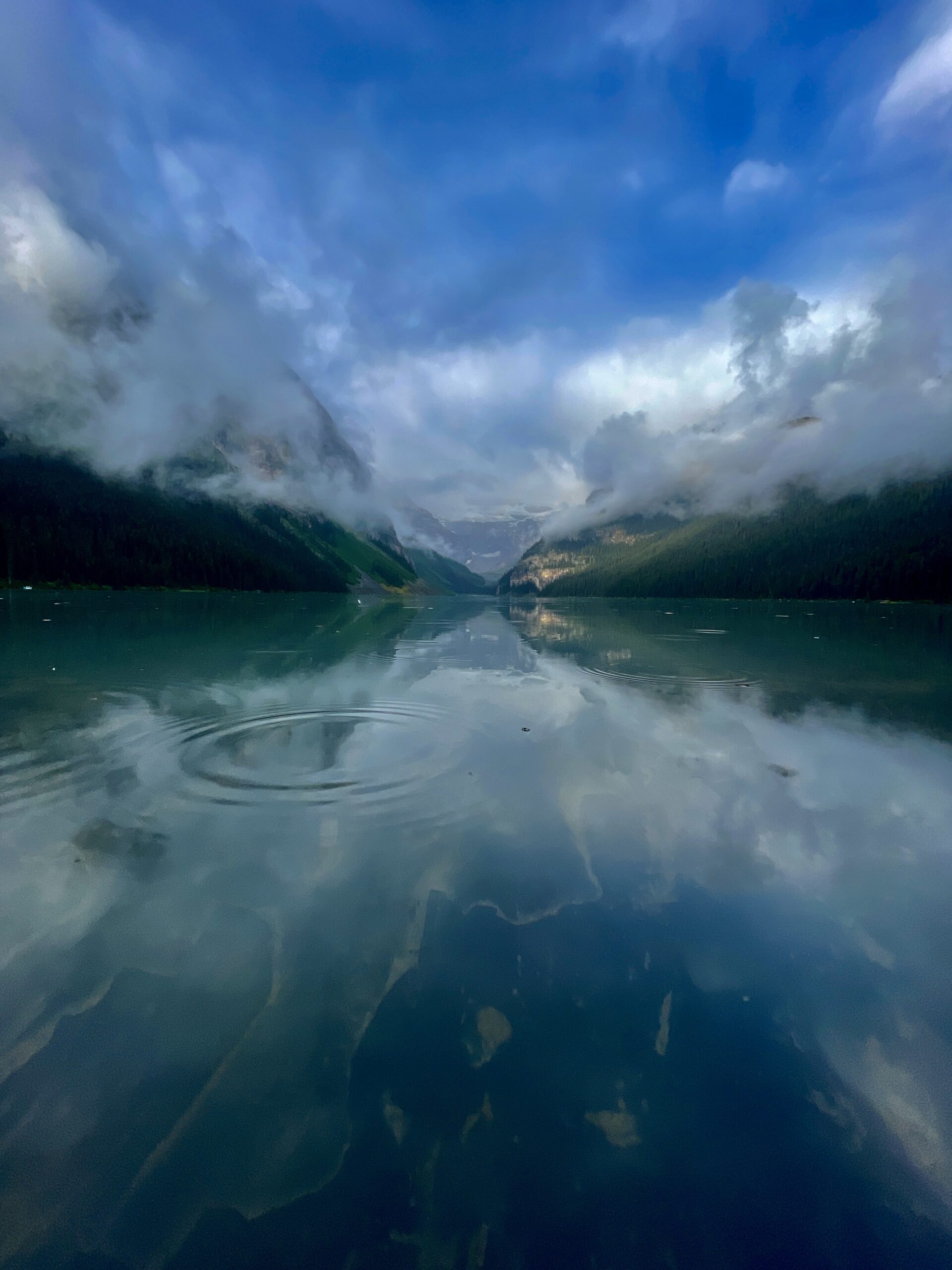
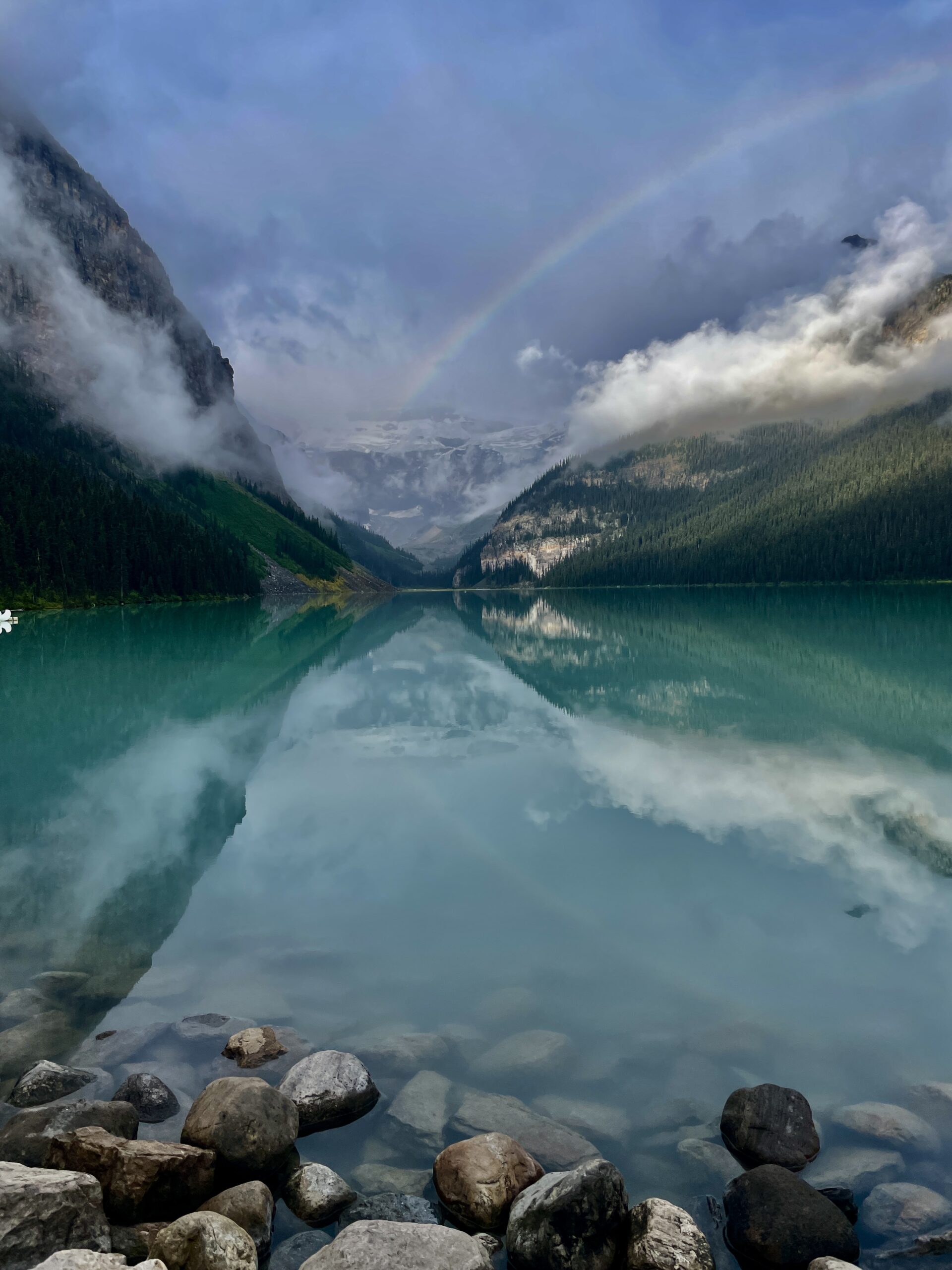
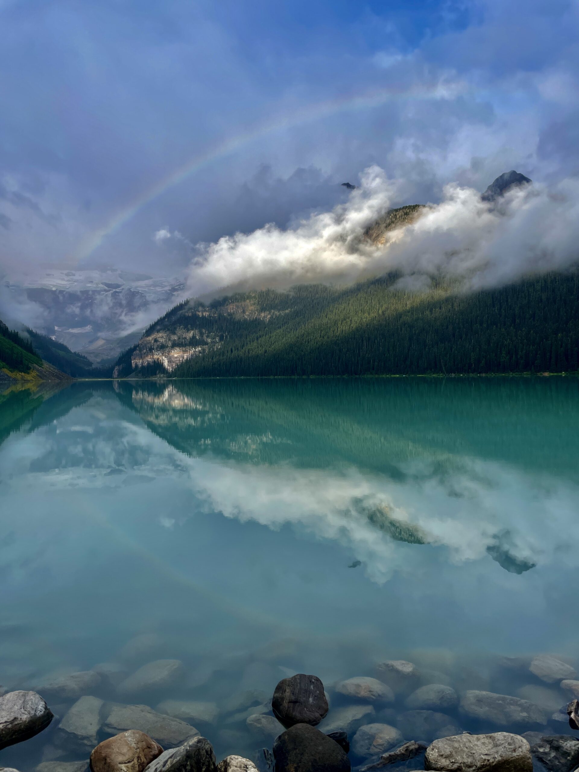
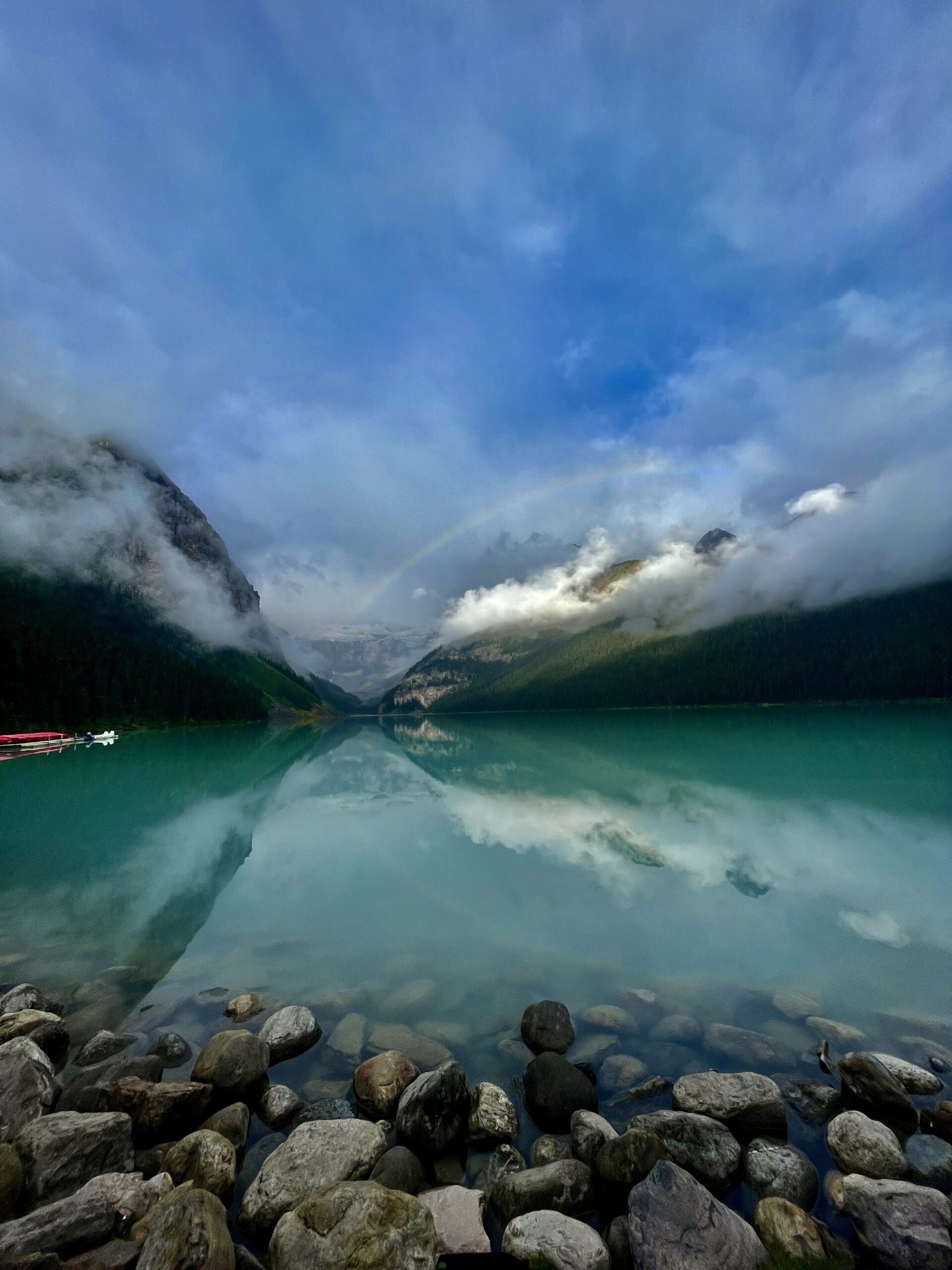
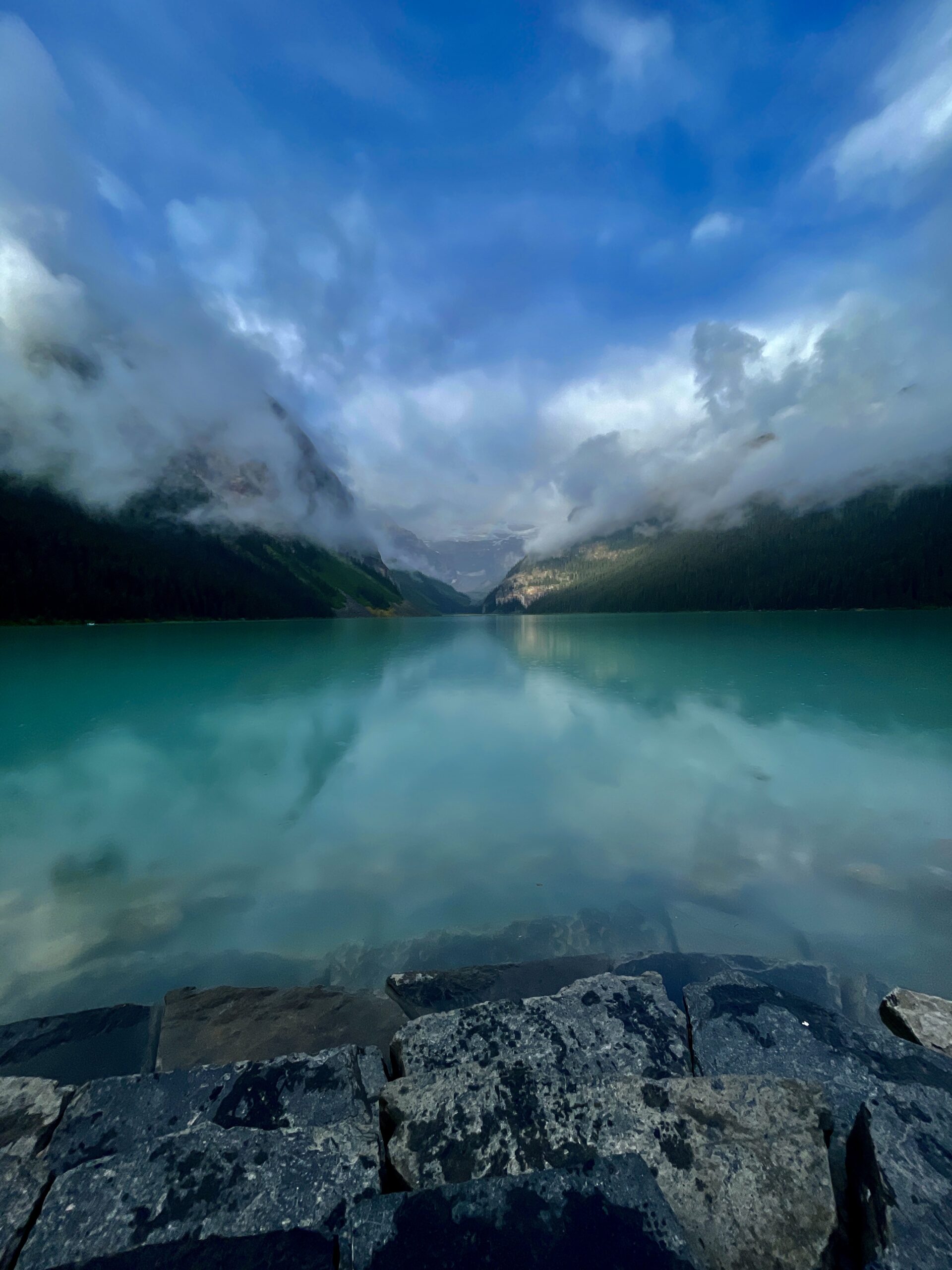
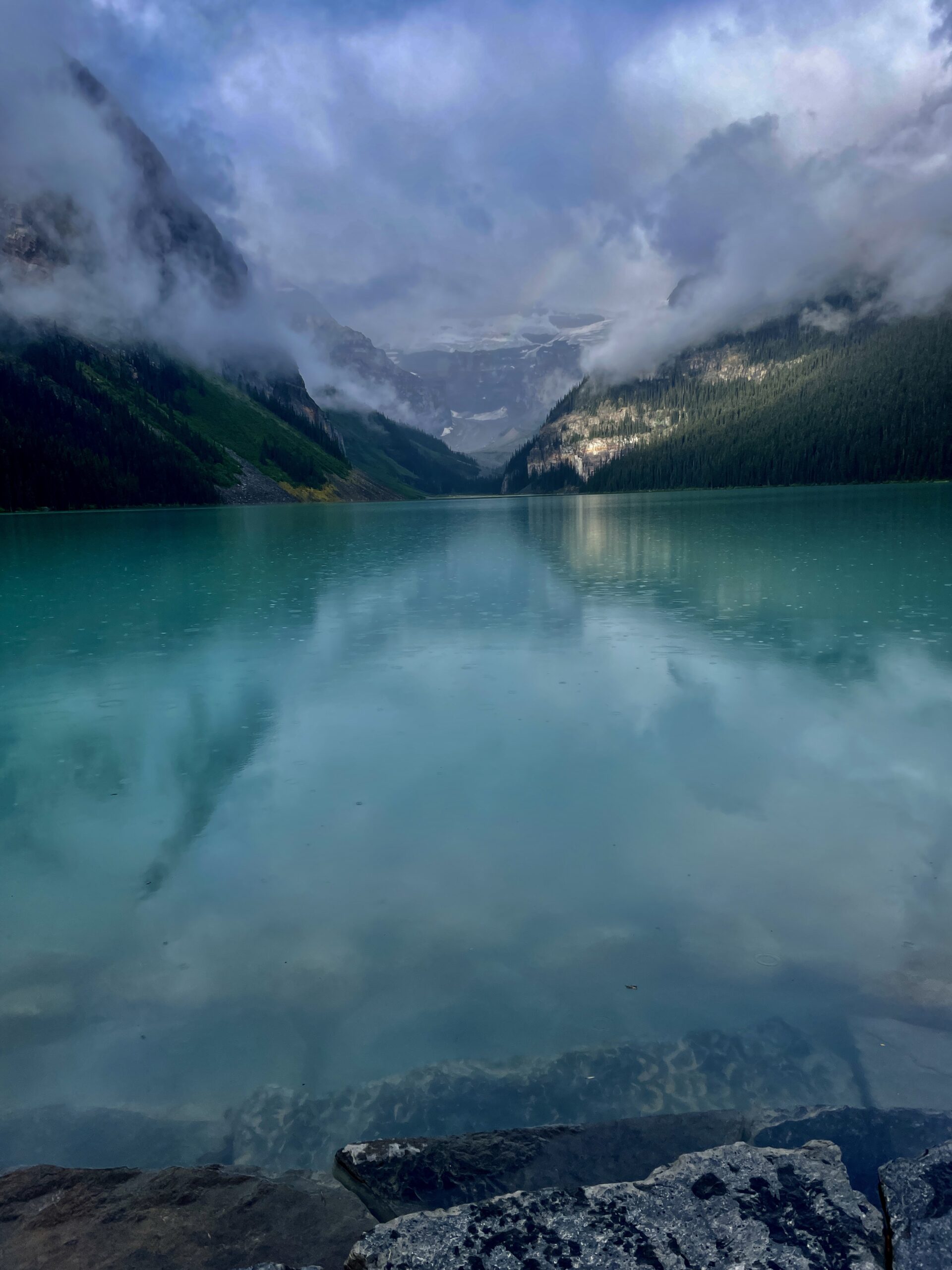
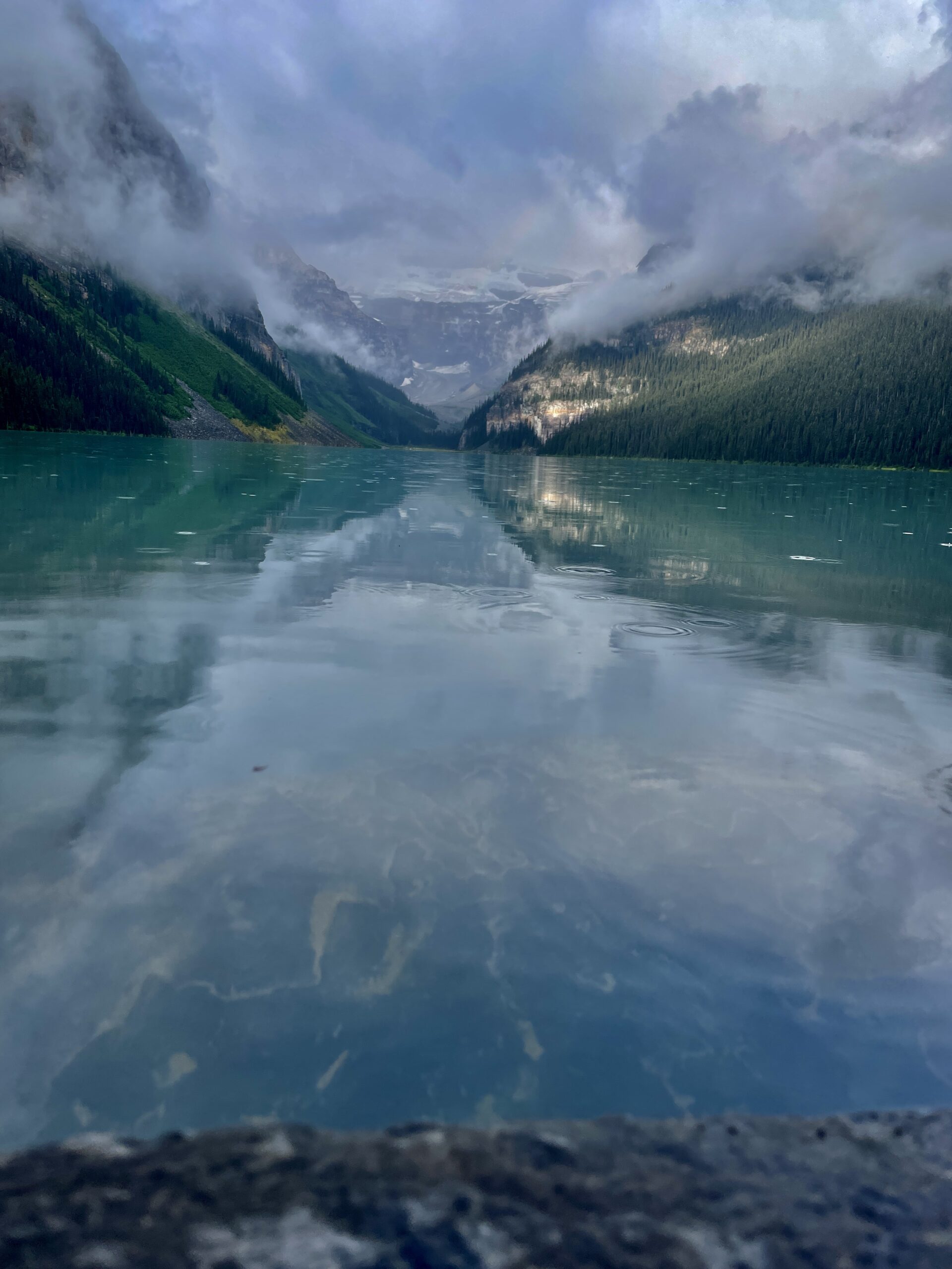
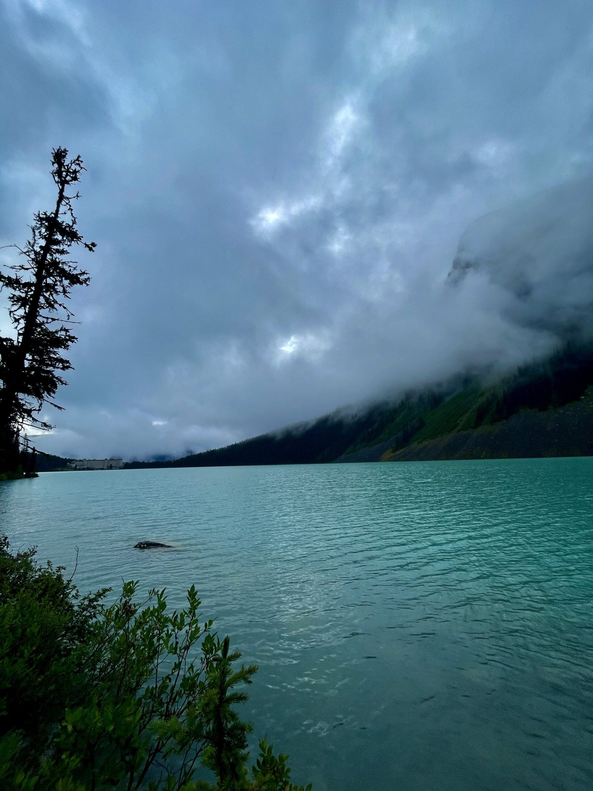
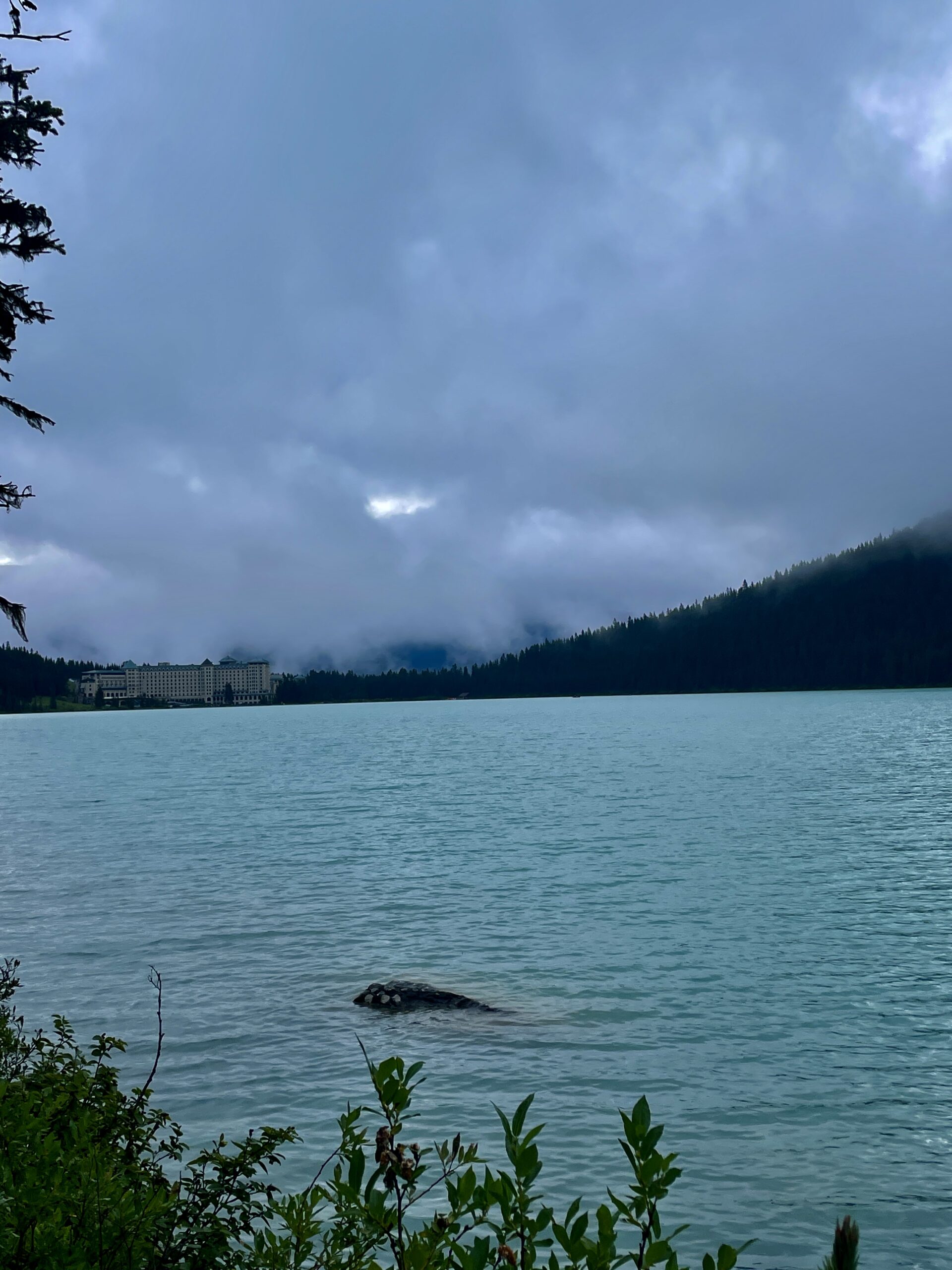
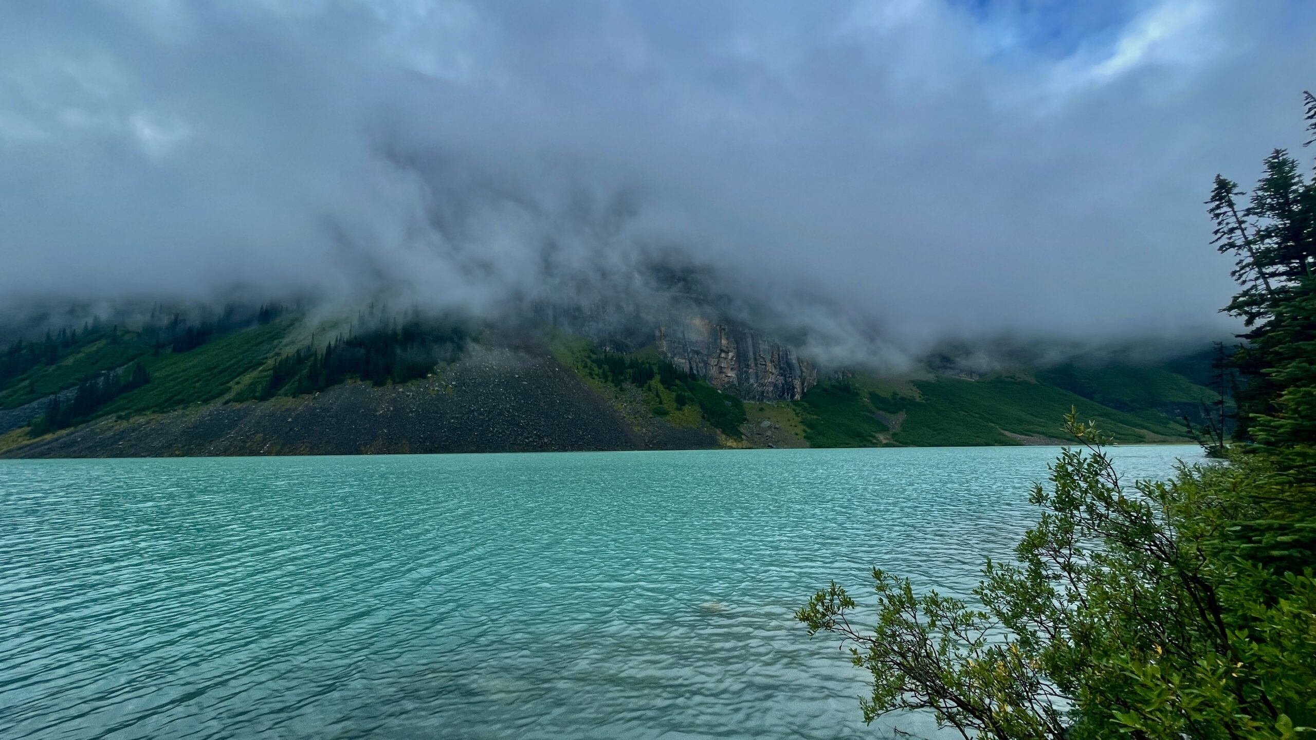
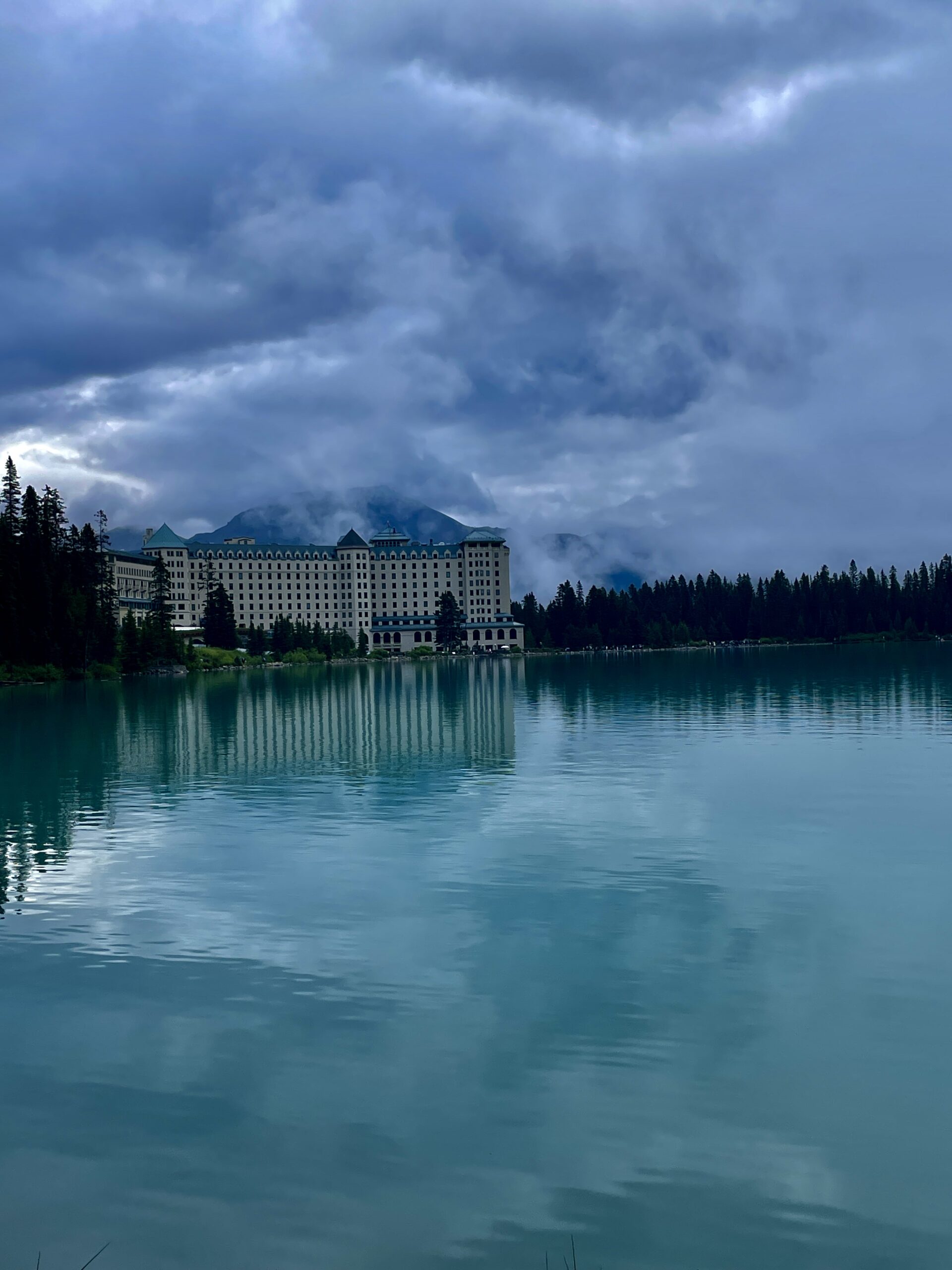
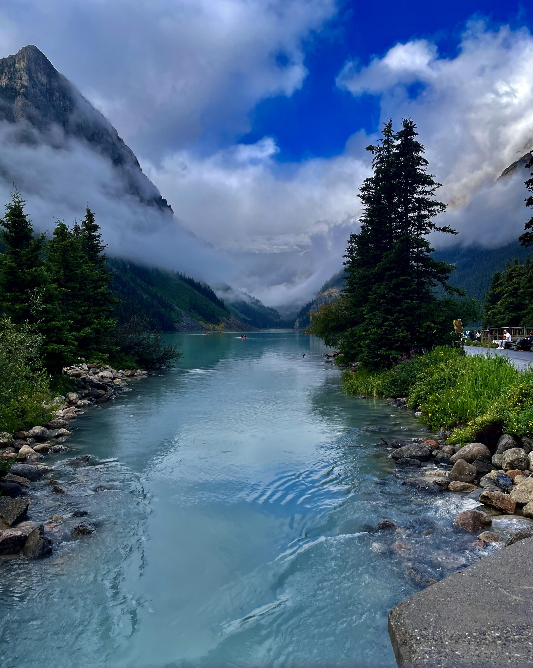
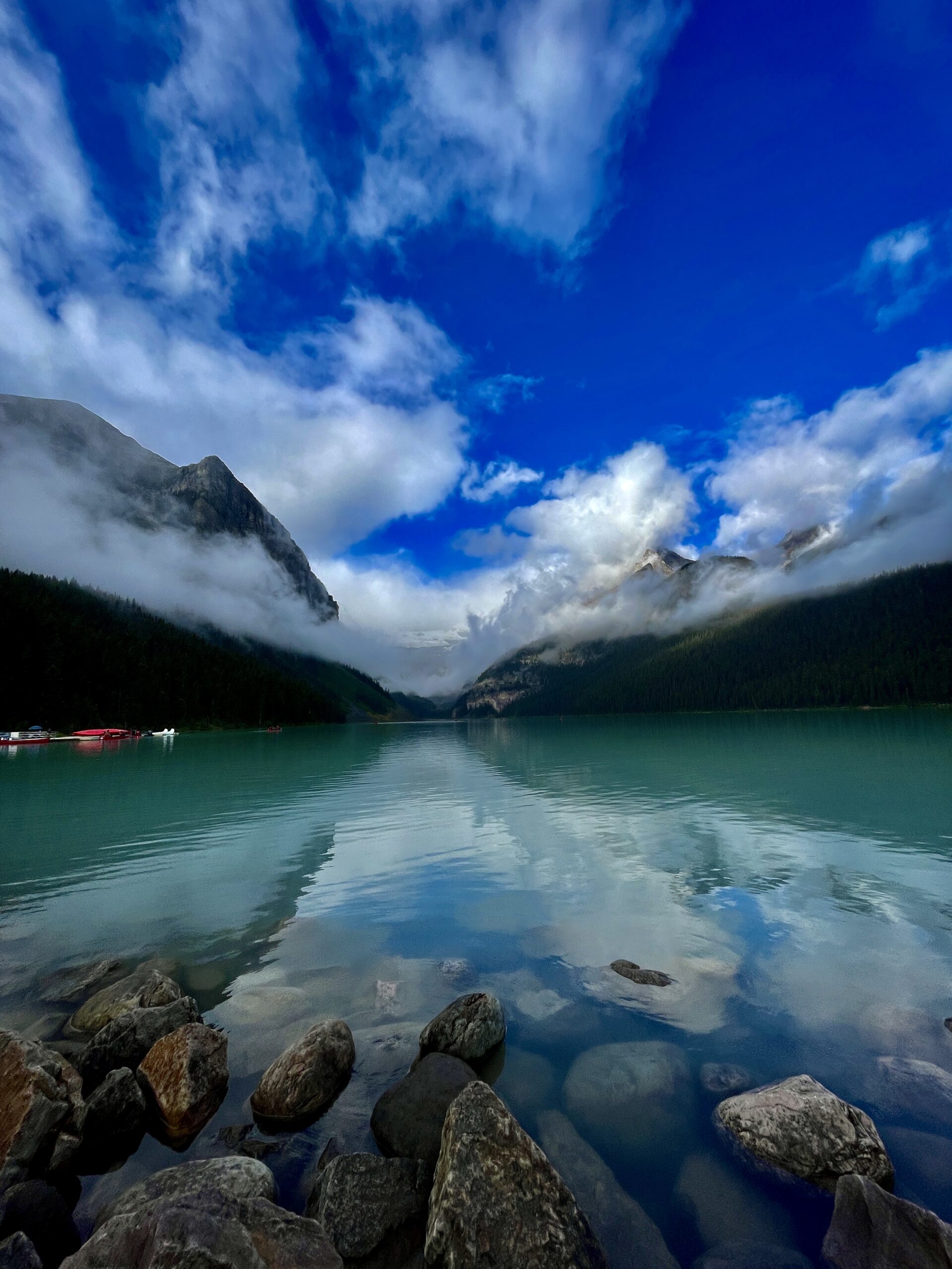
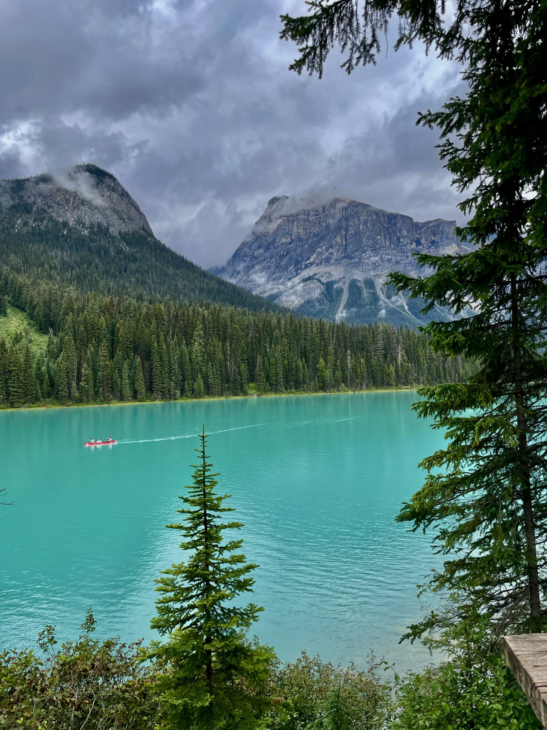
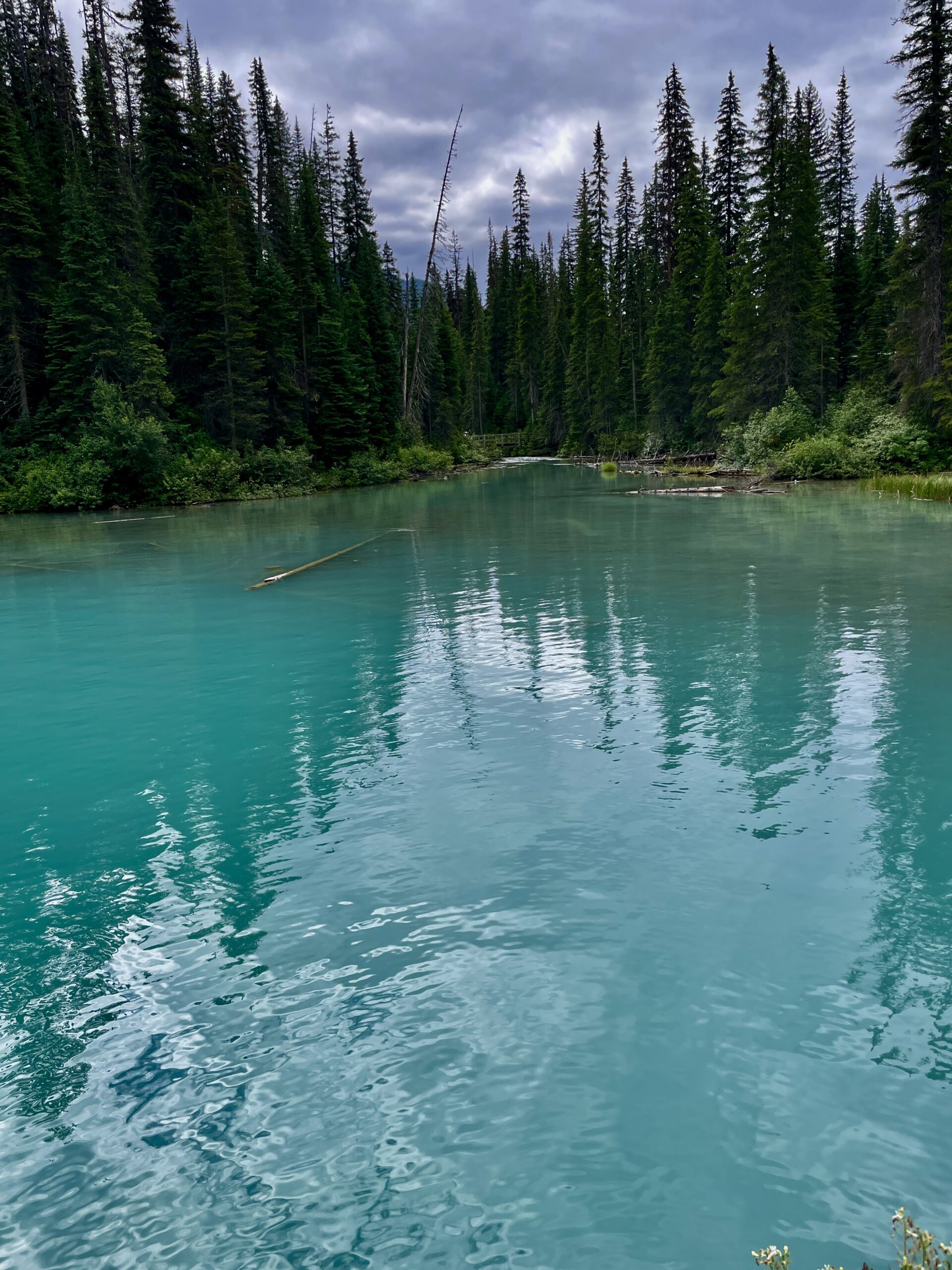
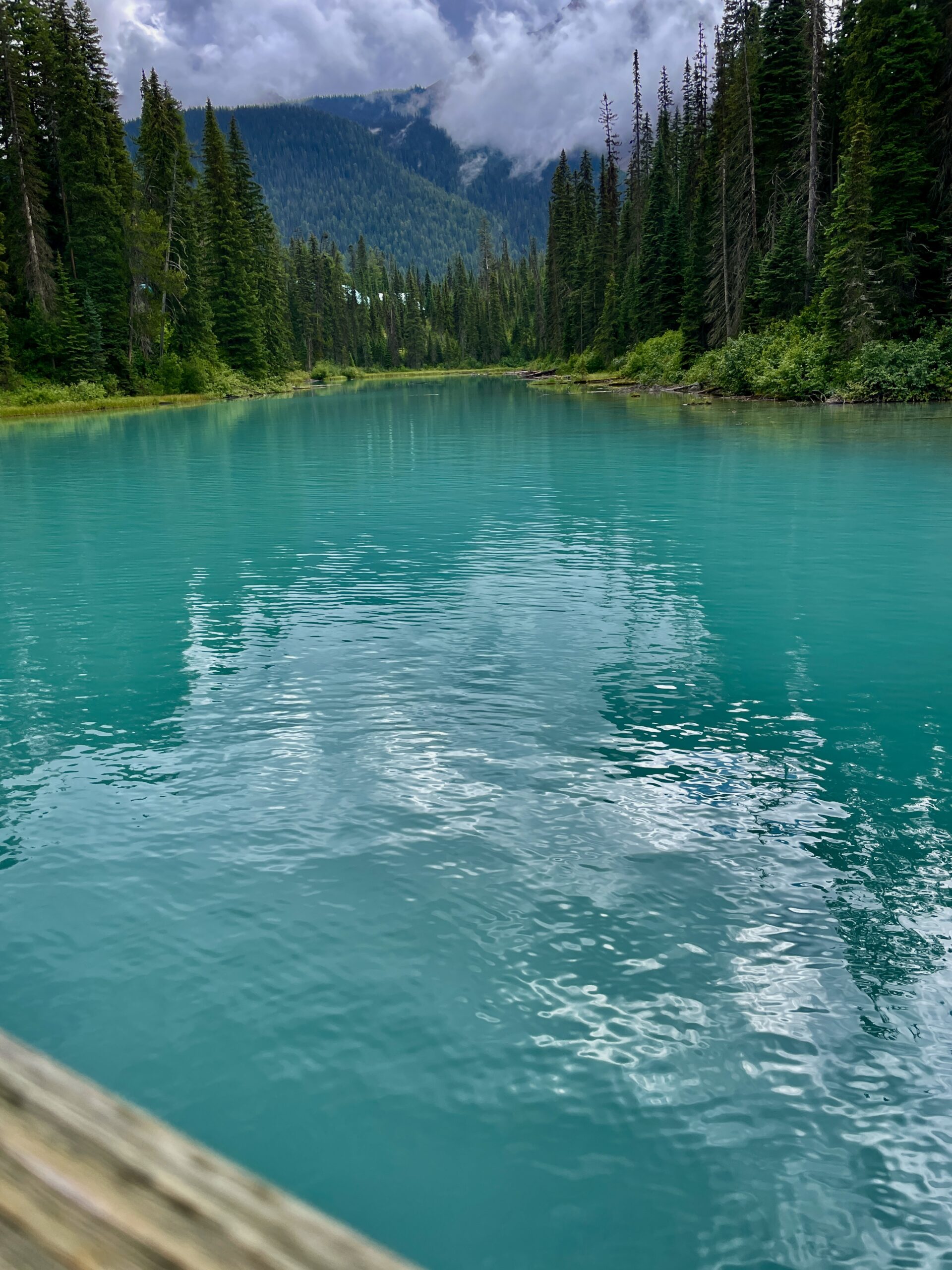
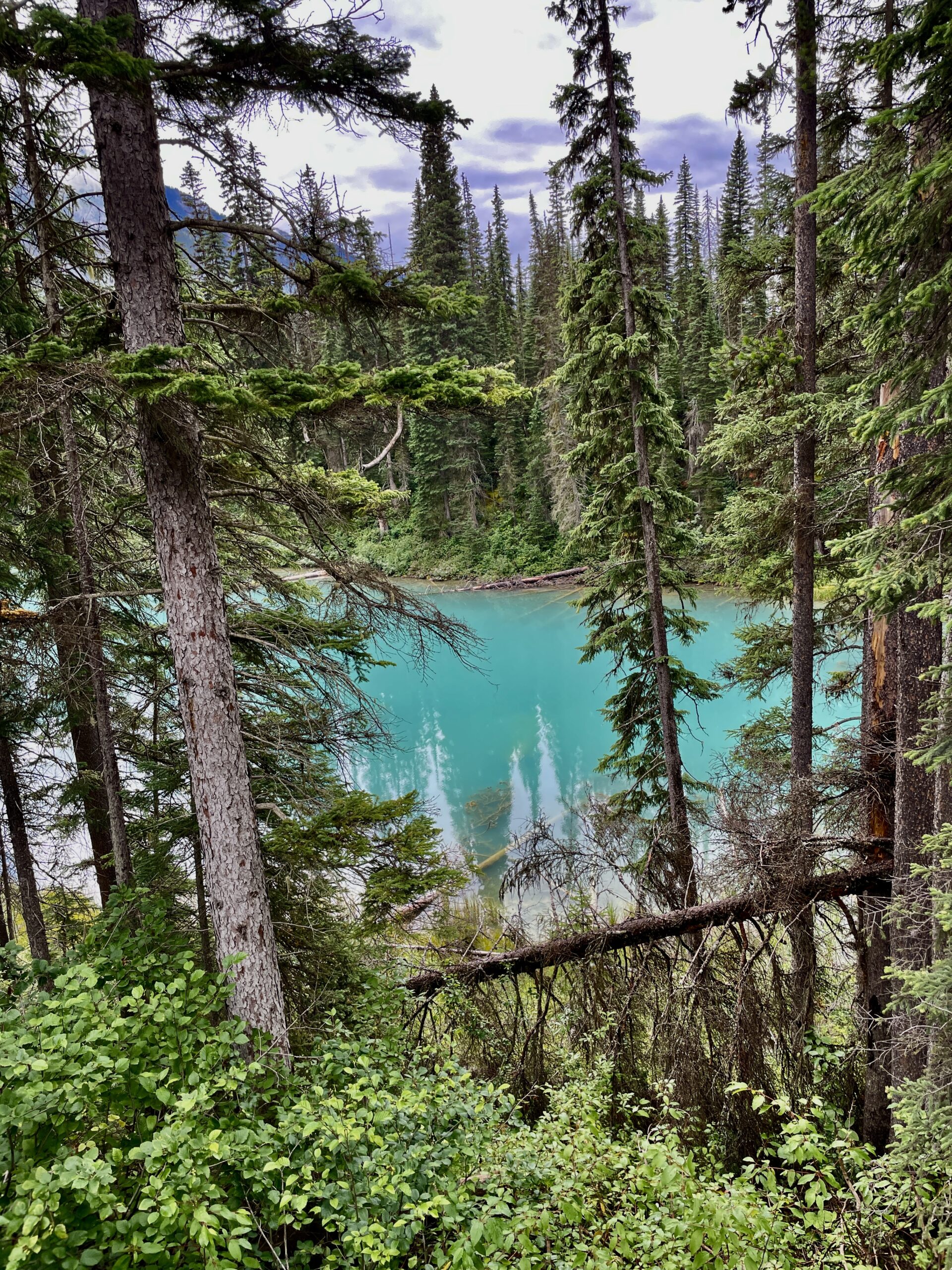
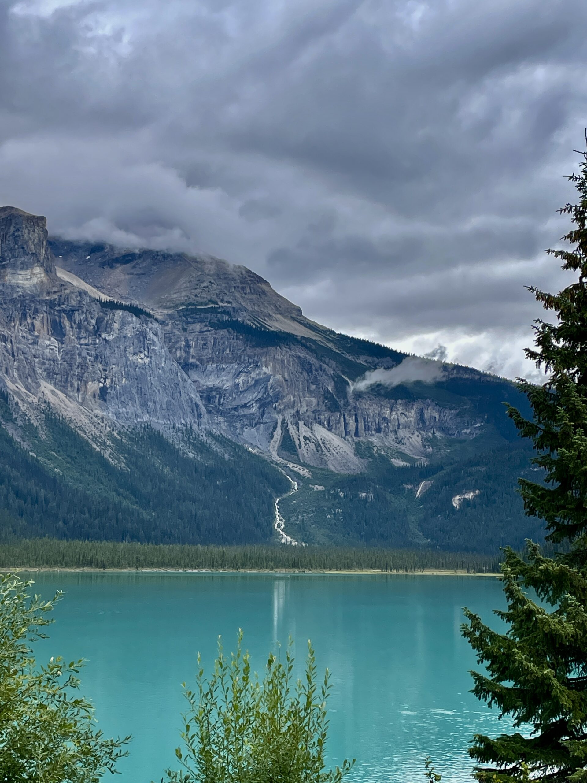
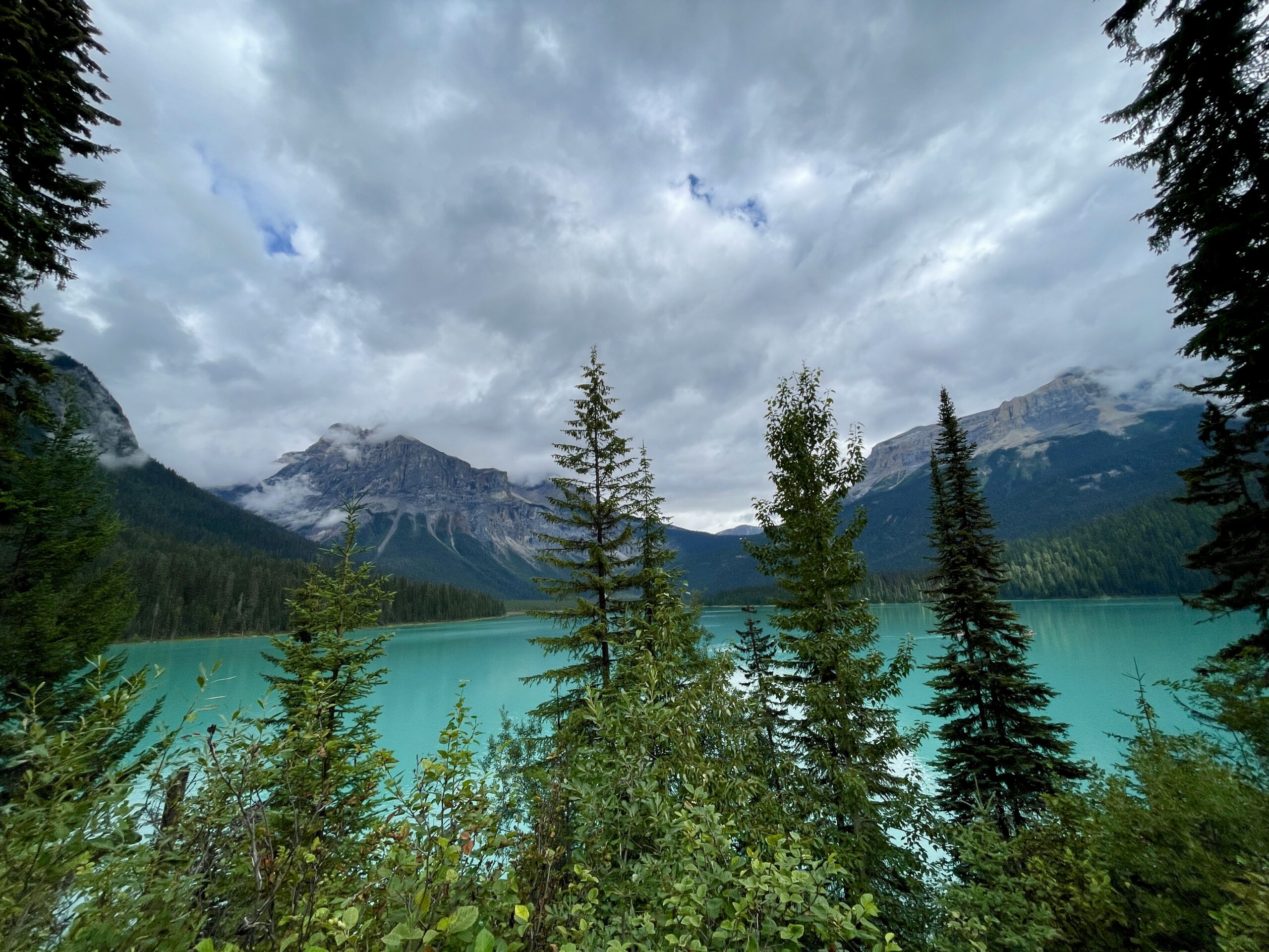
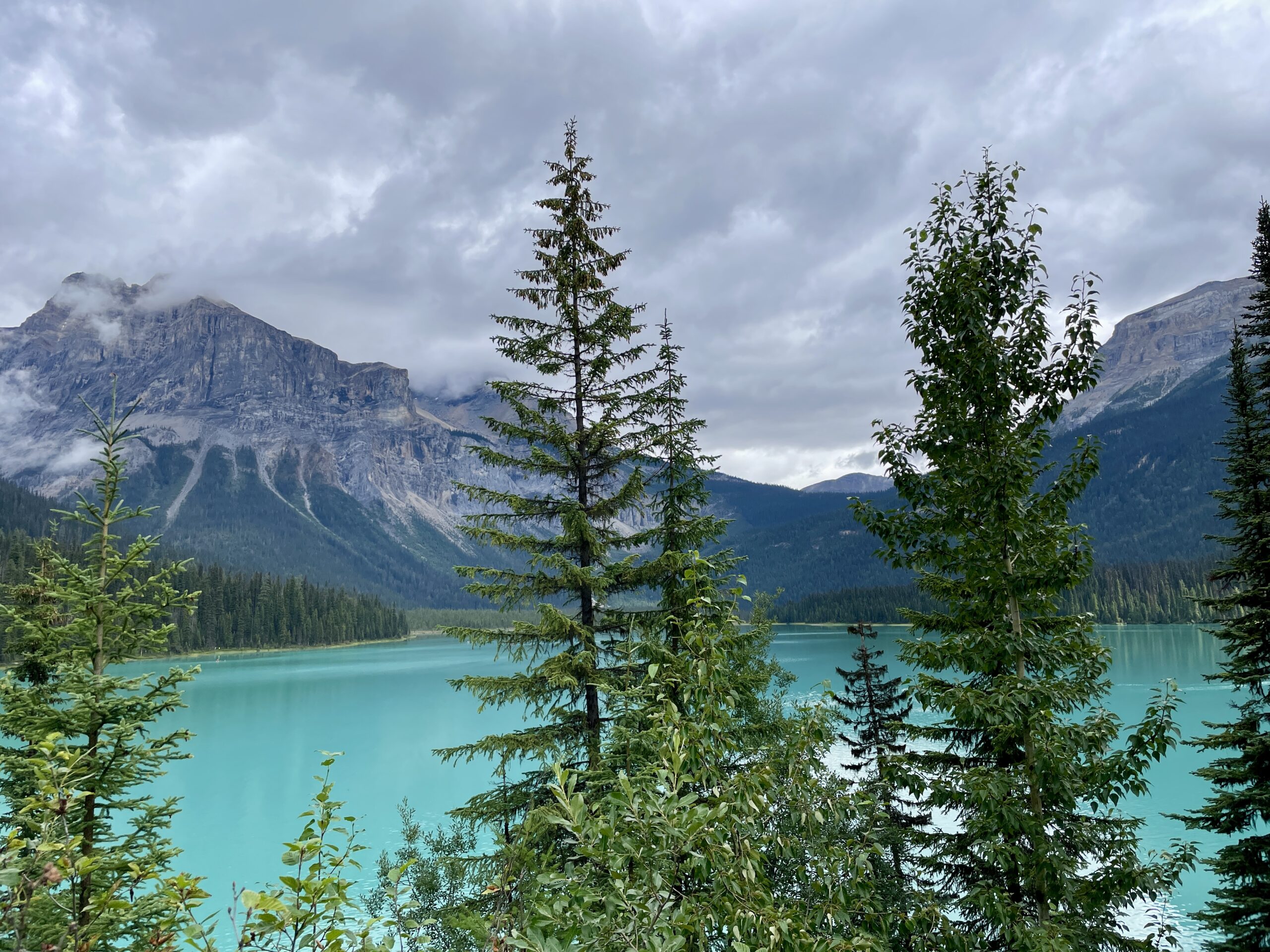
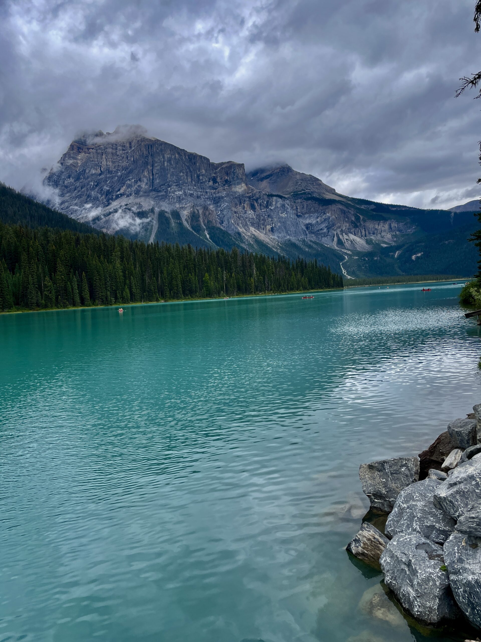
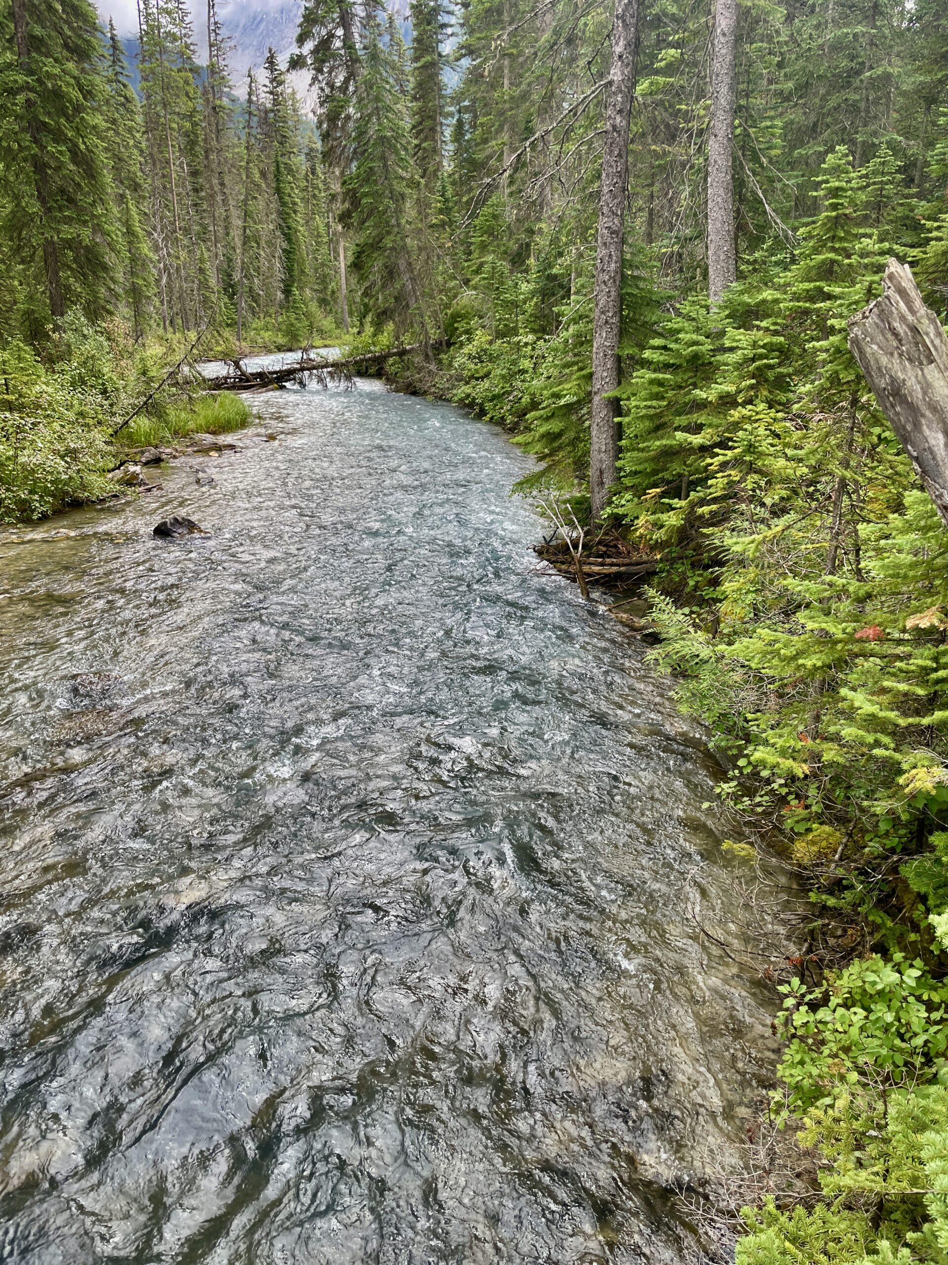
Since it was only around 1 p.m., we decided to push on to Emerald Lake — not in our original plan, but it kept coming up in recommendations so insistently that we caved. And here’s a nice historical coincidence: this lake was “discovered” in 1882 by the same Tom Wilson as Lake Louise — while chasing runaway horses — and for its rich colour he named it “Emerald.” Today it’s the largest lake in Yoho National Park (and the word “Yoho” is a Cree expression of awe and wonder). The road to it passes the Natural Bridge — a natural stone “bridge” carved into the rock by the Kicking Horse River, worth a quick stop. The same parking story awaited: no proper lot, everyone on the shoulder, all full — but it’s easier here, because it works as a rolling queue: someone pulls out, you take their spot, and we didn’t wait long. A flat trail of about five kilometres circles the lake — an easy, very scenic walk; canoe rentals are available too. We walked the shore, and honestly: to us this lake is underrated. It impressed us even more than Lake Louise, with noticeably fewer people. On the shore stand the lovely timber cabins of Emerald Lake Lodge, built by the railway back in the early 1900s — we made a note of them for a future stay.
A word on Moraine Lake, because someone always asks: by many accounts it’s even more striking than Lake Louise, but the road is closed to private cars year-round — you can only get there by shuttle, and dogs aren’t allowed on it. So we deliberately skipped it this time, saving it for a trip without our four-legged companion.
We got back to the camper a bit early to rest before the drive to Winnipeg. That evening, as always, there was a fire and a walk in the surrounding woods — and it was there we came across a modest memorial to the settlers who once lived here. Among the names were many Ukrainian surnames — an unexpected, and very moving, reminder of how far our diaspora reached.
Day 4: the drive home and a car adventure
We woke without hurry, around nine — no rush to head back. The car, though, decided to add some drama: it wouldn’t start, and the dash was littered with errors. We’d arrived the day before with no trouble, but the evening before I’d noticed it downloading an update — which, on the poor signal, seemed to have gone wrong. The logical move was to reset the errors by disconnecting the battery terminal. Except we hadn’t brought tools (why would a new car with 10,000 km need them, right?), so I went to the neighbour for help — the camper’s owners had gone away for the weekend.
And here the trip served up its warmest moment. The neighbour turned out to be a Brazilian, long settled in Canada, with a whole crowd visiting — a dozen or so people from Japan, Italy, Spain, France, more than I could keep track of. They all pitched in to help — mostly with advice, but the sheer warmth of it genuinely lifted the mood. I came back with tools, and the car, as if sensing the attention, started on its own without any battery-terminal business. Some errors did linger — mostly driver-assist systems like adaptive cruise — so rather than risk it before a long drive, we stopped at the dealer in Calgary. They took us without a queue. Strangest of all, by the time I pulled in for diagnostics the errors had cleared on their own, though they’d been on the whole way; the techs said they saw nothing (the car had probably finally caught a stable connection and updated properly). They suggested a recheck back in Winnipeg just in case, but nothing recurred, so we left it.
And one very practical closing tip: gas stations here are sparse, and at night many are closed. Fill up in good time whenever you can — don’t run it down to the wire. We learned our lesson hunting for an open station at night with about 30 km of range left in the tank.
In short: how to reproduce this route
- Book lodging six months out if you want to be right by Banff. Farther out is quieter and often more scenic; our Waiparous camper proved it.
- Offline maps are essential: almost all of the Icefields Parkway has no signal.
- Bear spray — sold at Canadian Tire and other stores (we grabbed ours in Cochrane, but it needn’t be there); choose by spray range and carry it on you. They record your details at purchase.
- Fuel — plan ahead: many stations close at night.
- Clothing: the mountains are cool even in summer and the weather is fickle — bring a warm layer and a rain shell. The lake water is icy.
- Dogs: not allowed on the Columbia Icefield Skywalk or the Moraine Lake shuttle; allowed on leash at Lake Louise, Emerald and Bow Lake.
- Lake Louise: arrive before 6 a.m. or take the Parks Canada shuttle from the Park & Ride. Parking: $36.75/day in 2025, $42/day in 2026.
- Driving time: budget twice what your sat-nav says — you’ll be stopping constantly.
- Park entry in summer 2025 and 2026 is covered by the Canada Strong Pass.
What the trip cost us
Shared for planning — figures are approximate and reflect our style (a camper, cooking our own food, three nights).
| Item | Amount (CAD) |
|---|---|
| Fuel (round trip) | ~$400 |
| Lodging (camper, 3 nights) | $600 |
| Main food | ~$250 |
| Coffee, snacks, bites | ~$100 |
| Lake Louise parking (2025) | $36.75 |
| Columbia Icefield Skywalk (2 tickets) | $90 |
About the Skywalk: we bought two tickets but, thanks to the no-dogs rule, used one — we gave the spare to a family in the queue. And note that Lake Louise parking rose to $42/day in 2026.
Next, place by place: Waiparous, the Icefields Parkway, the Columbia Icefield Skywalk, Peyto Lake, Bow Lake, Lake Louise and Emerald Lake.