


~130 km and an hour and a half each way — and a whole day of water, forest and ticks.
We hadn’t done a proper full-day trip in a while. While Europe was buried under a record heatwave, Winnipeg has had rain almost every day for weeks. On top of that we’ve been busy with big posts in the pipeline — a week-long Winnipeg-to-Banff road trip, a stack of place guides, and an upcoming trip out to the Vancouver area and Vancouver Island. So when the forecast finally offered up what looked like the only sunny day, we didn’t overthink it: we grabbed Nika and drove to Pinawa.
If you want the full guide to the place itself — the bridge’s history, the trails, the tubing — it lives in our dedicated piece on the Pinawa suspension bridge and channel. This post is about the day itself, start to finish.
Packing and the drive
We left around 10 a.m. Pinawa is about 130 km and roughly an hour and a half out — which is already a different thing from the spur-of-the-moment “under an hour” trips our site is built around. If quick getaways are more your speed, we have a whole philosophy of those in our story about the 40-minute rule. Pinawa is another category: a planned full day, which is exactly why we waited so long for the weather.
We packed the essentials: water, snacks for us and for Nika, mosquito spray, and — as a separate item — tweezers. Why tweezers, I’ll get to near the end.
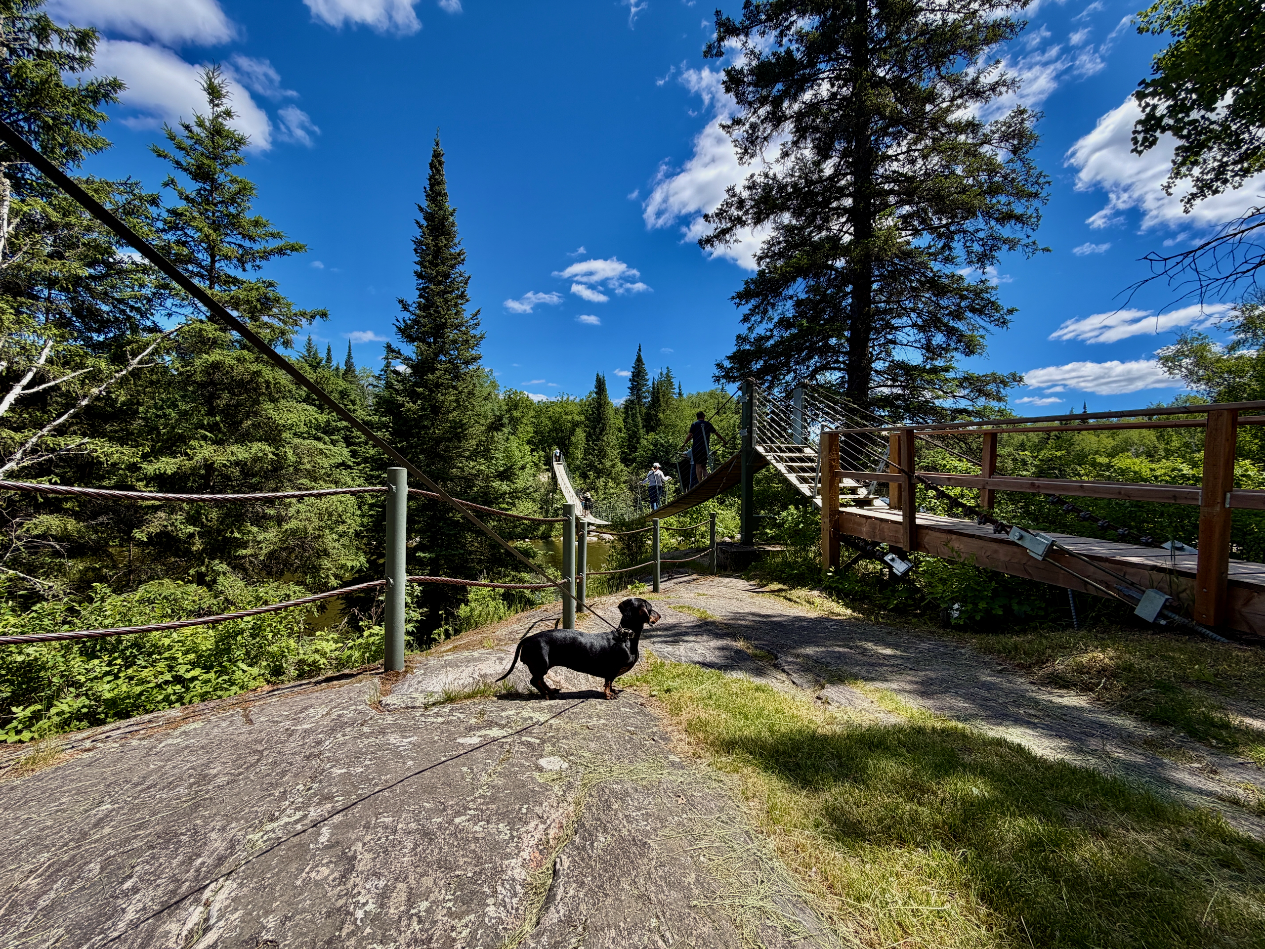
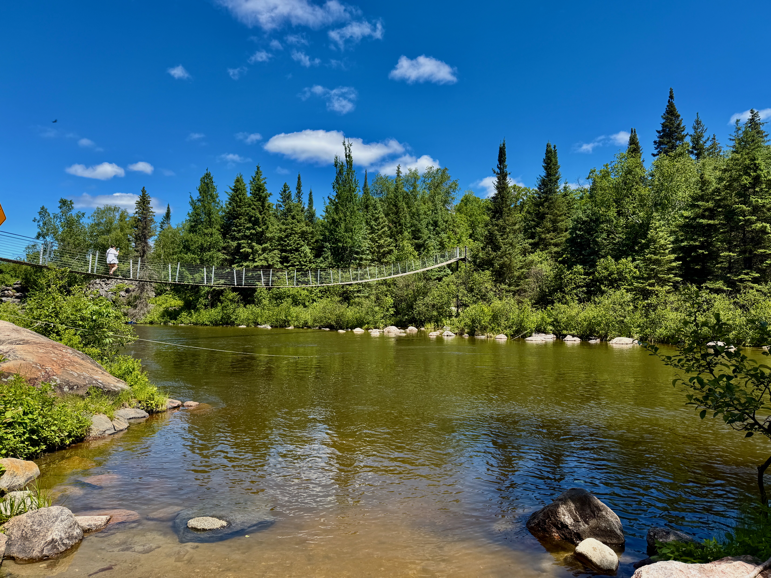
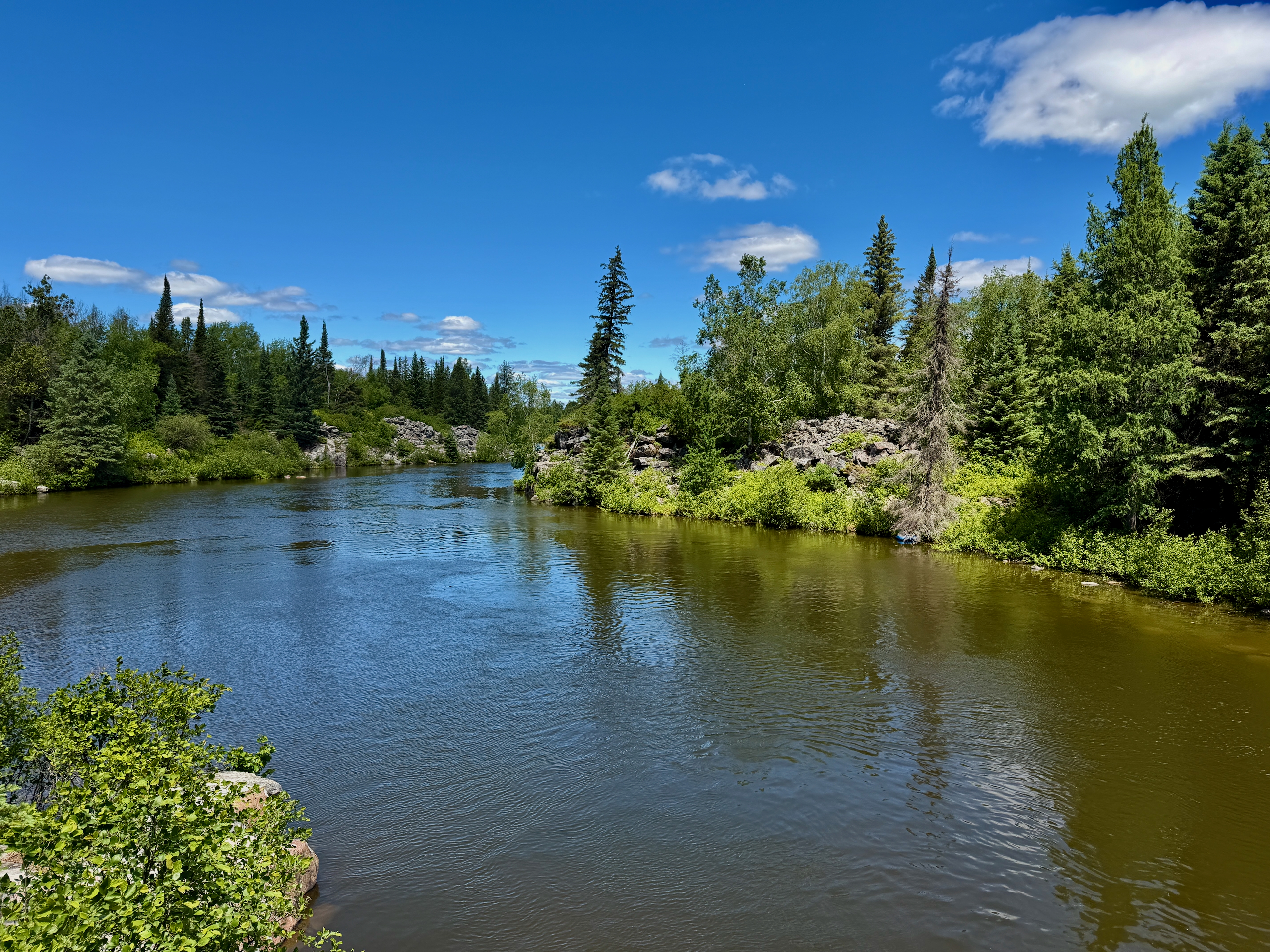
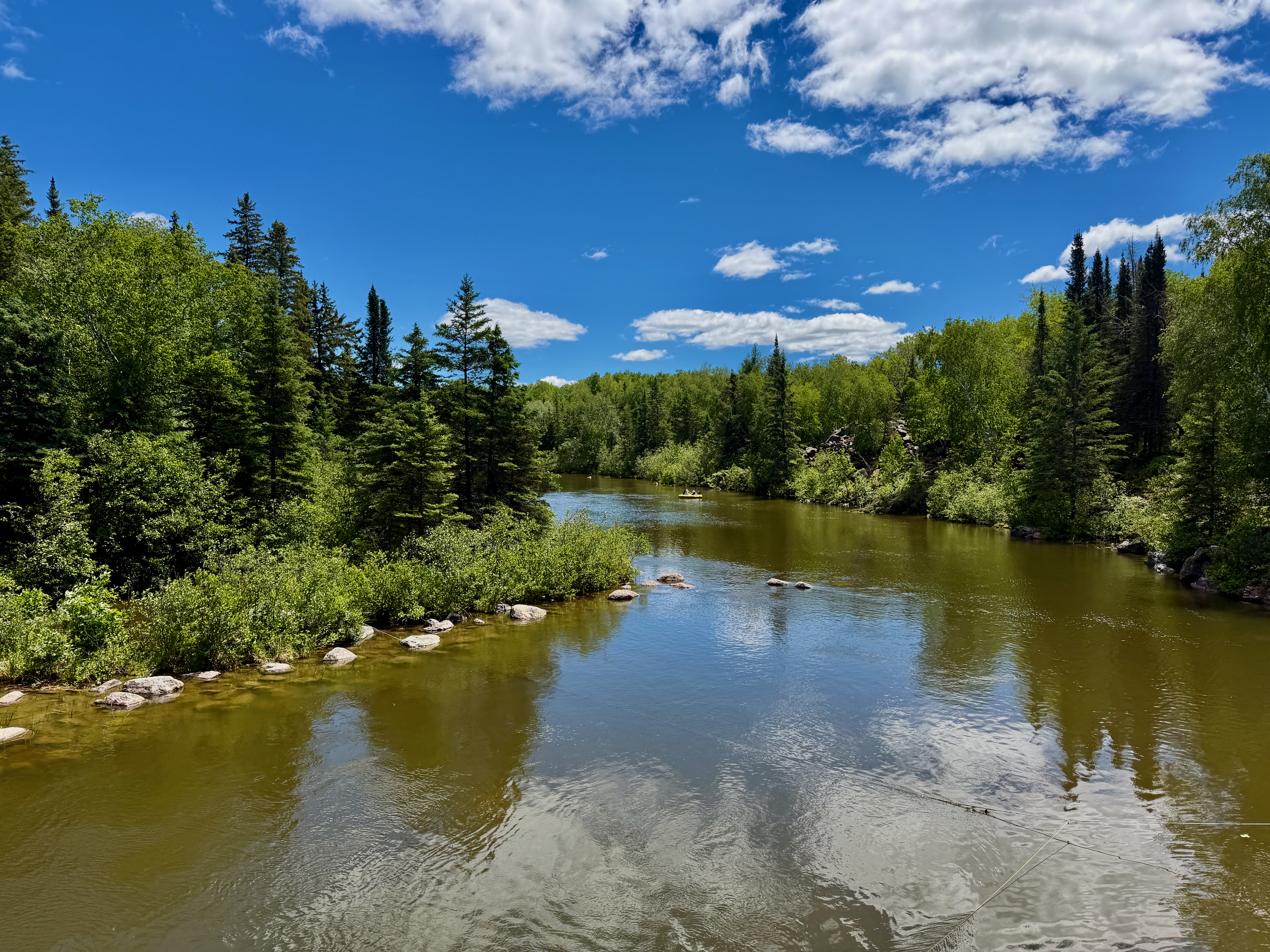

The bridge, where it all started
On arrival we paid $10 including tax for day parking — by QR code right at the lot. One detail that’s easy to miss: a “day” pass isn’t 24 hours, it’s valid until 11:59 p.m. that same day.
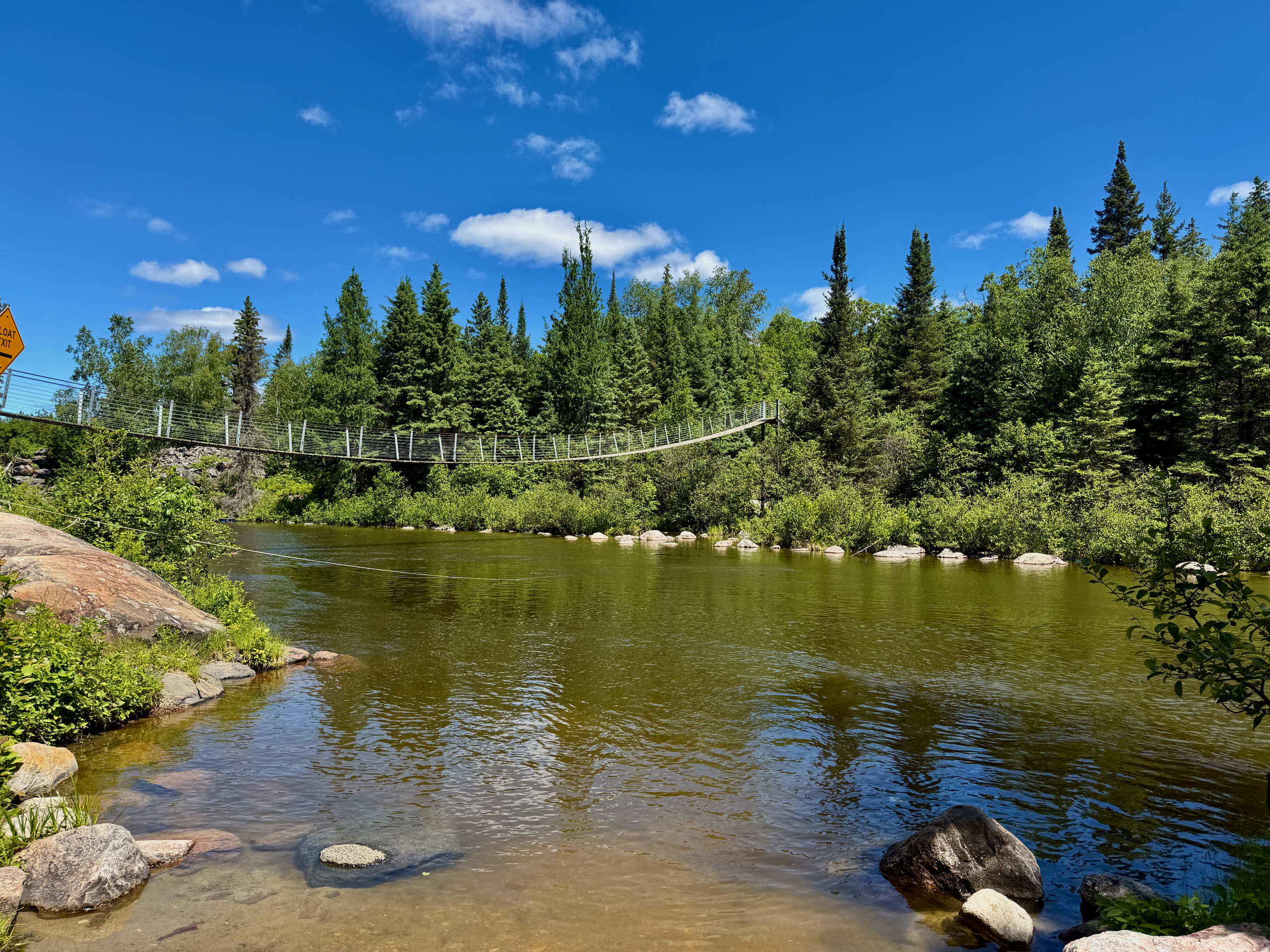
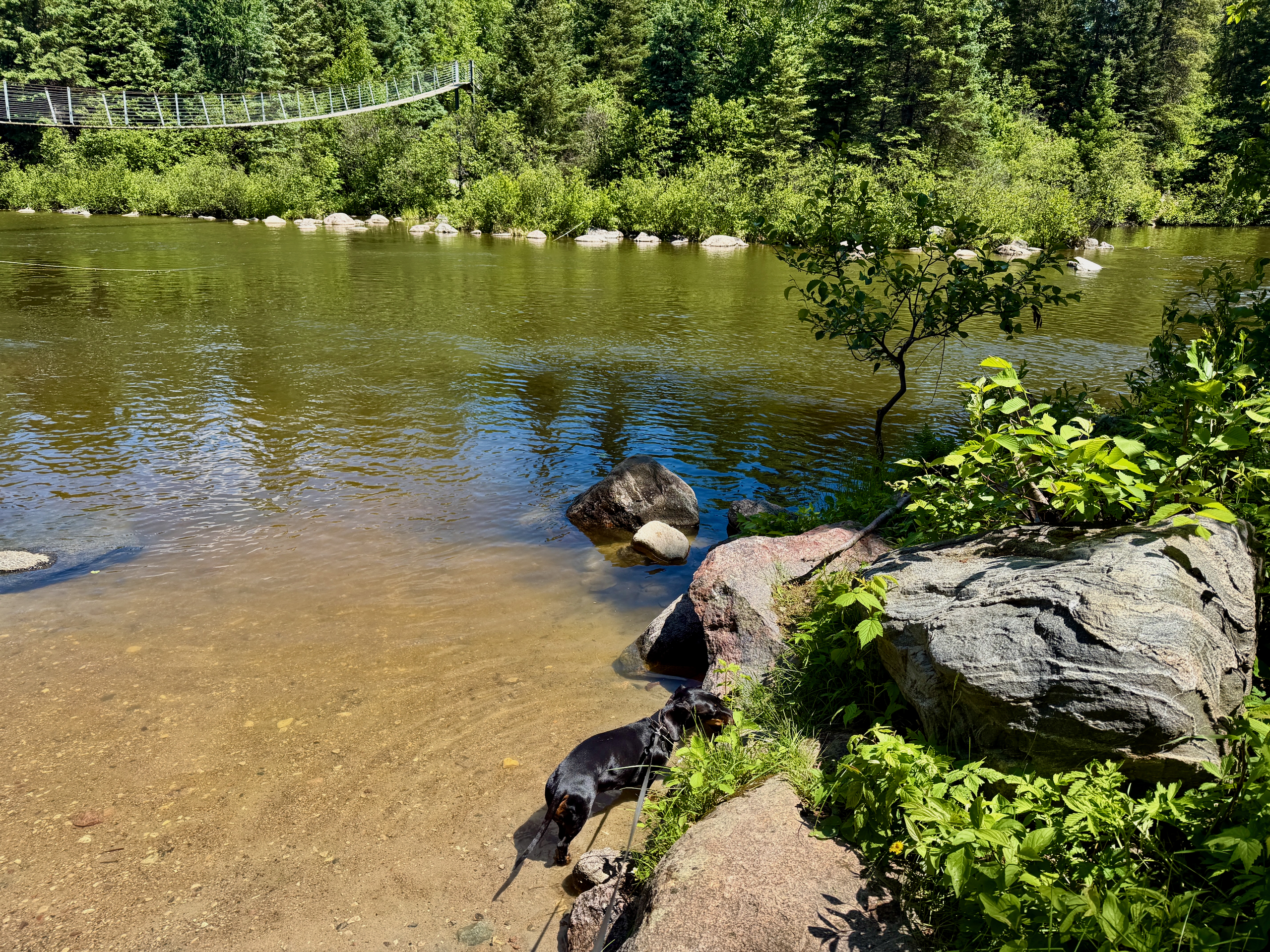
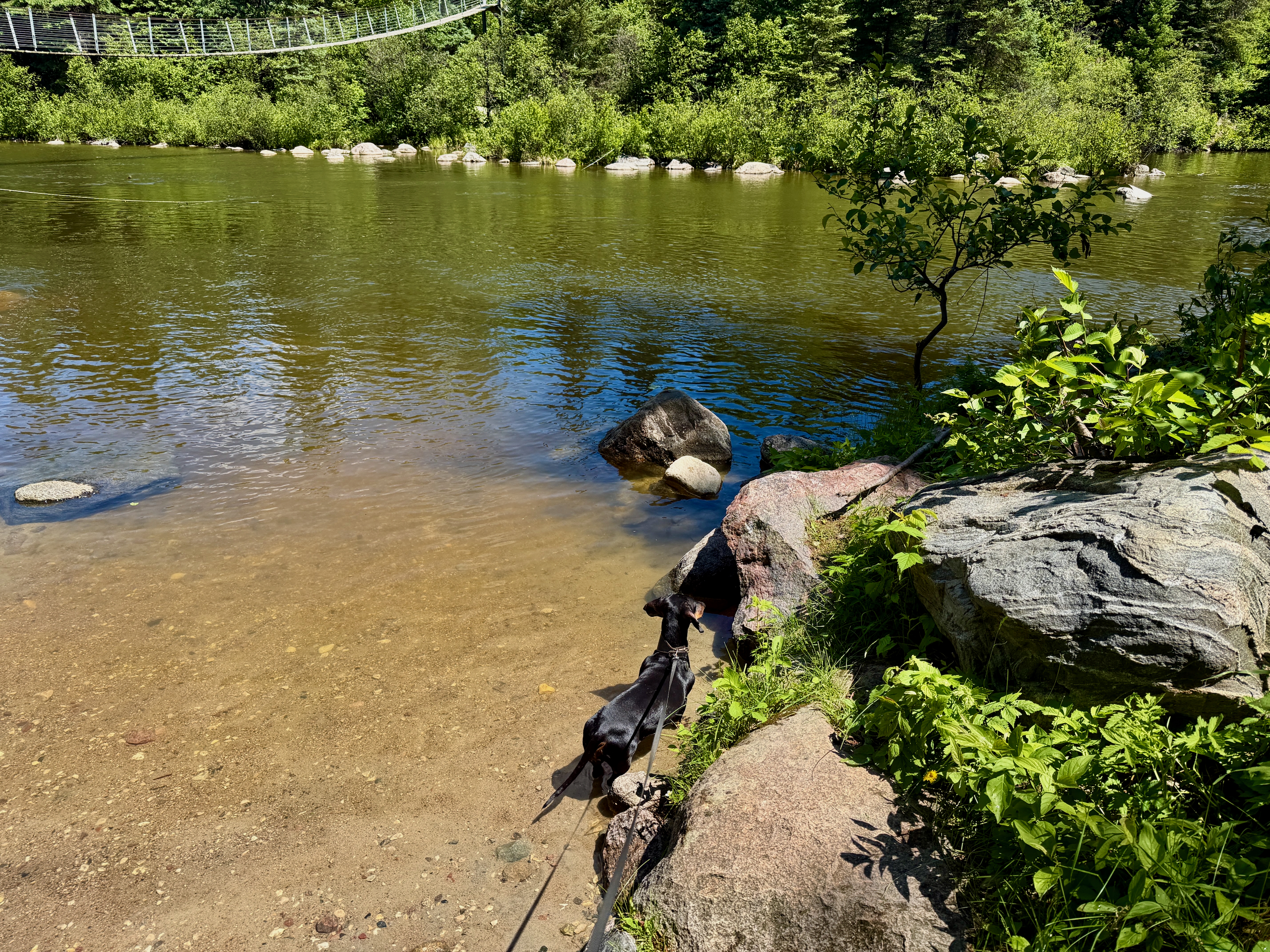
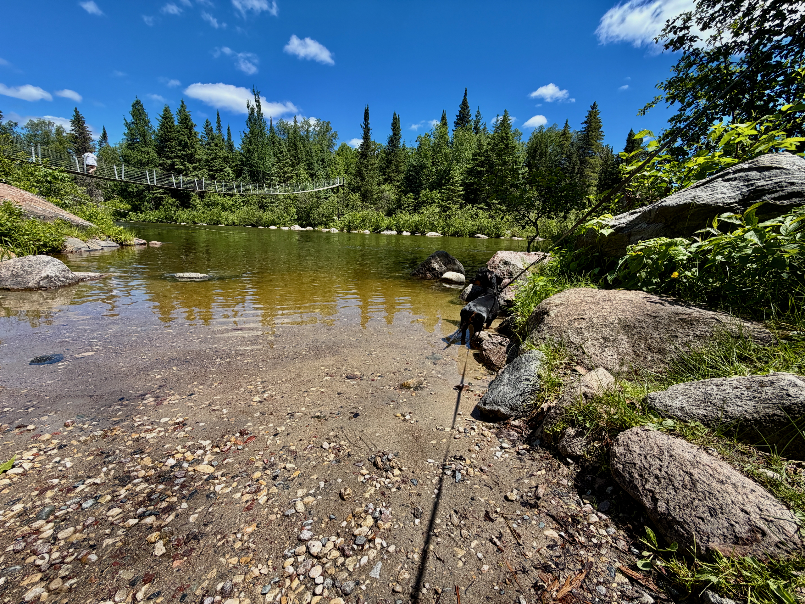
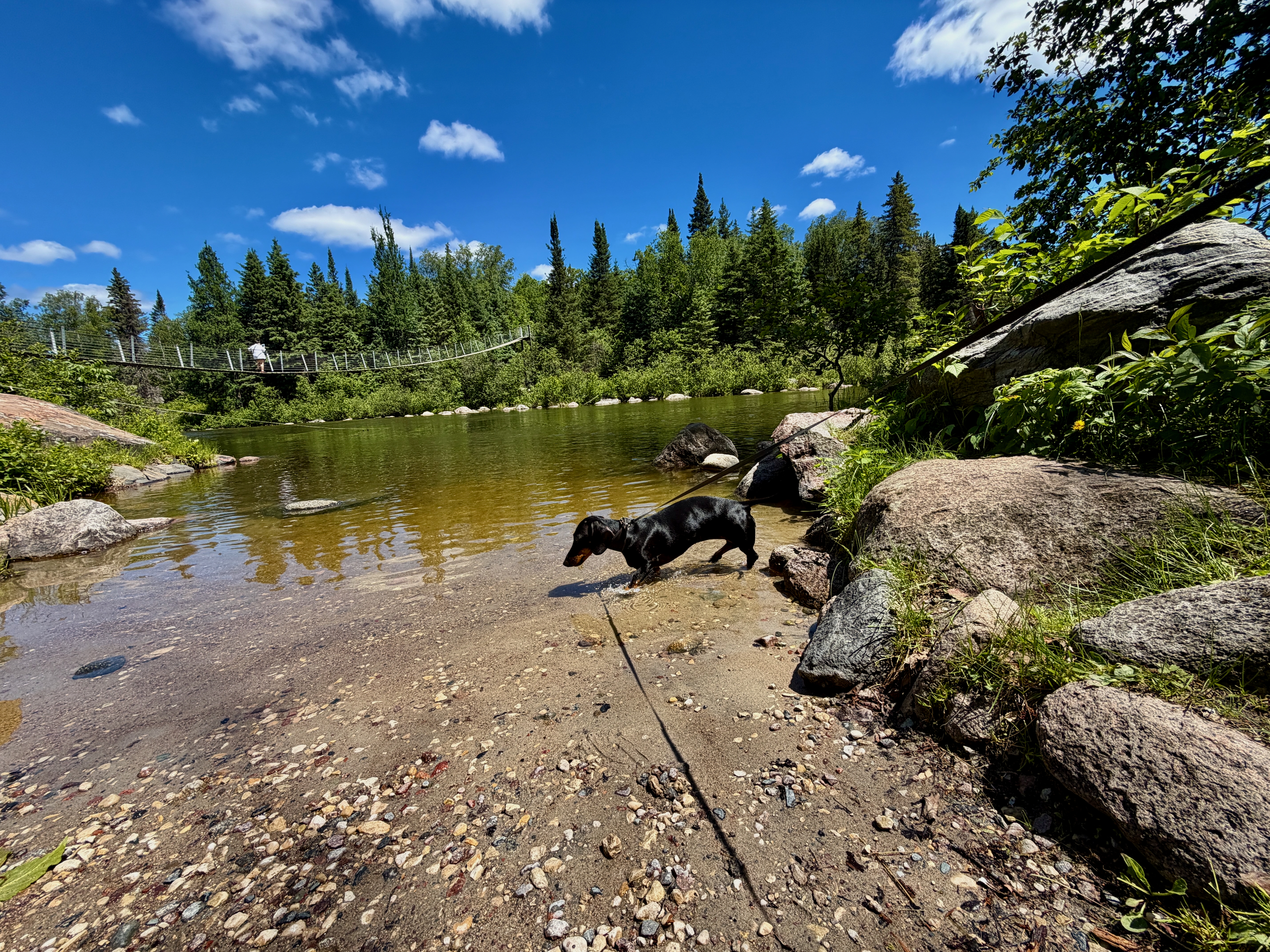
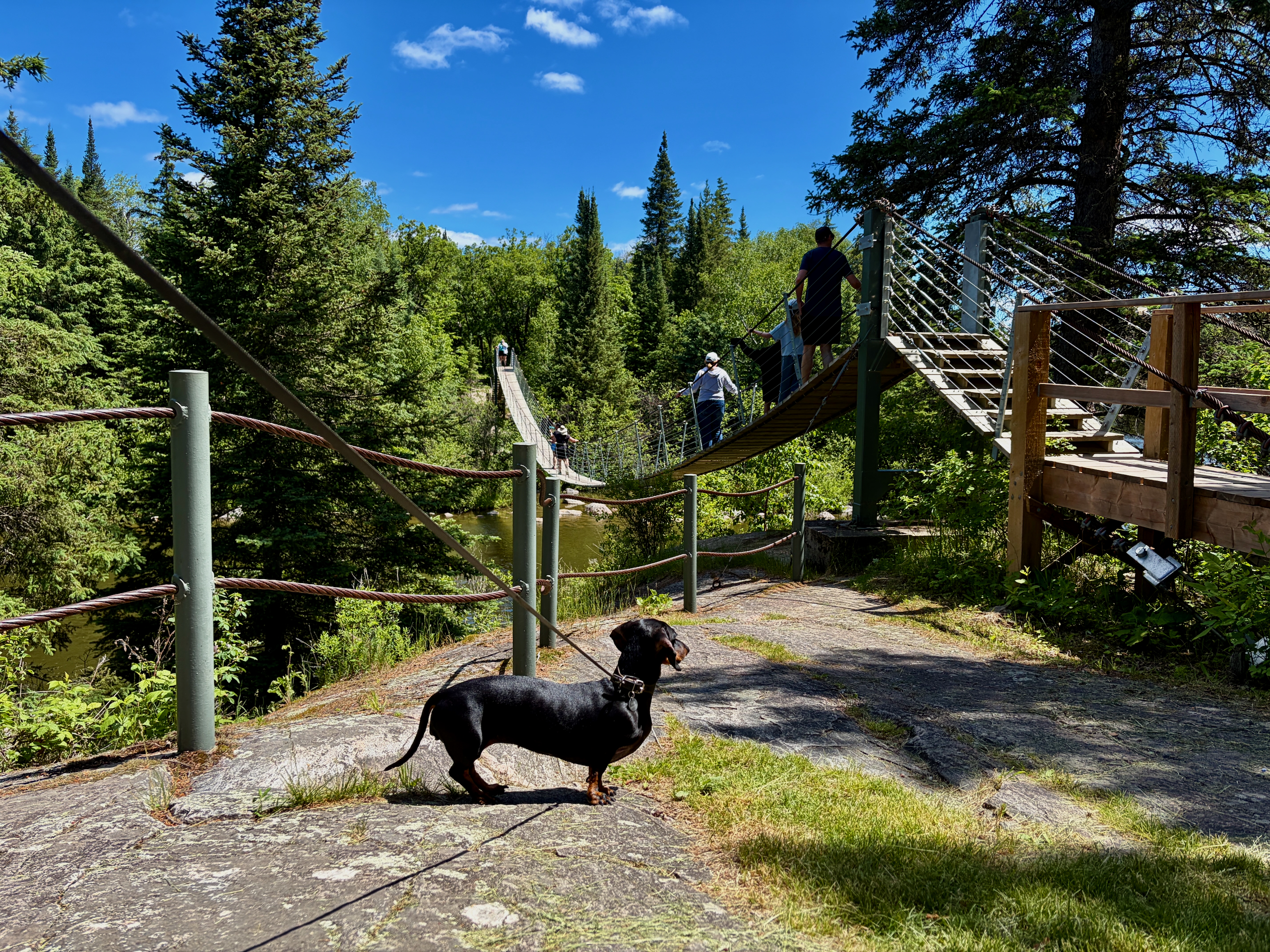
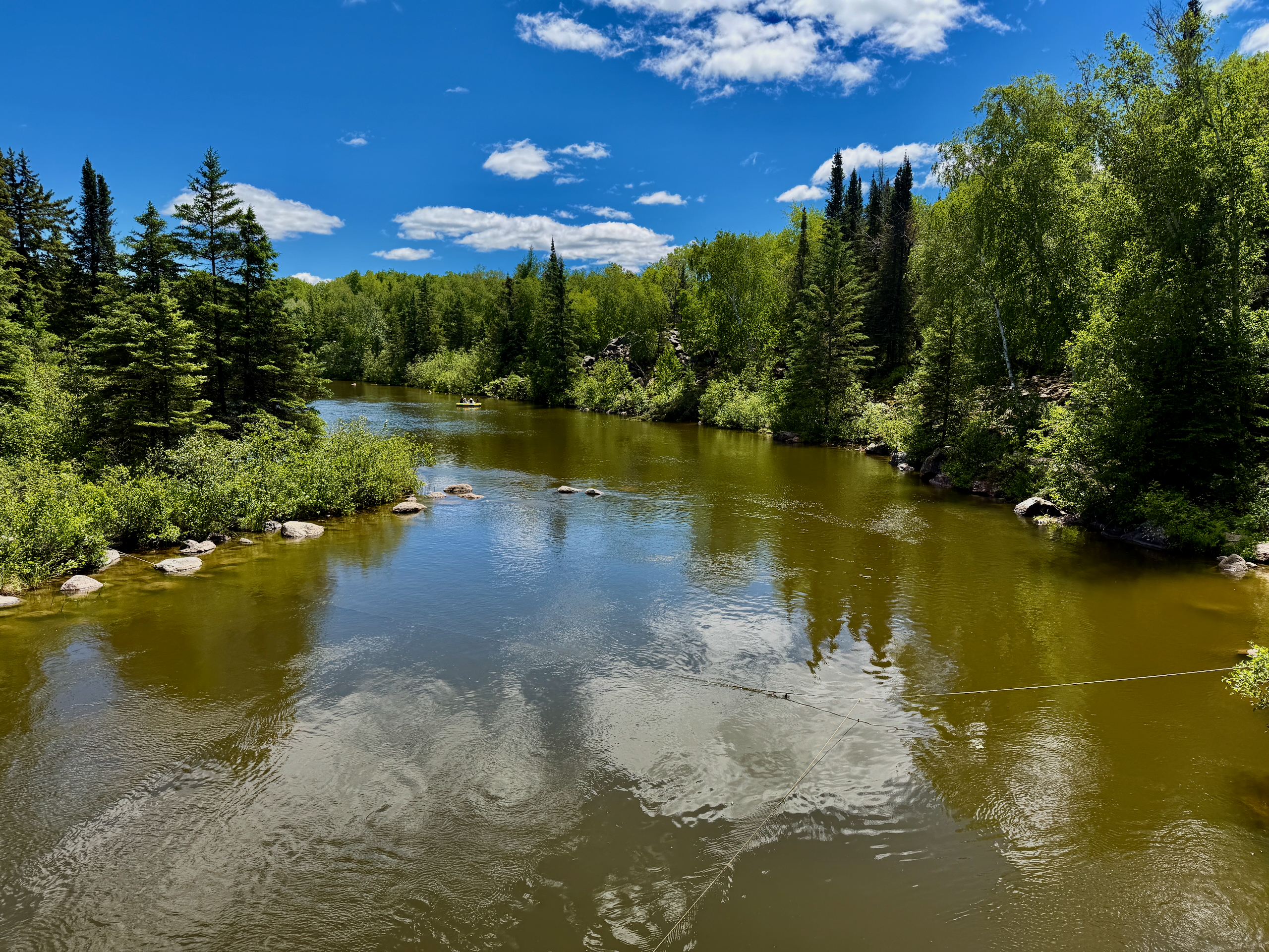
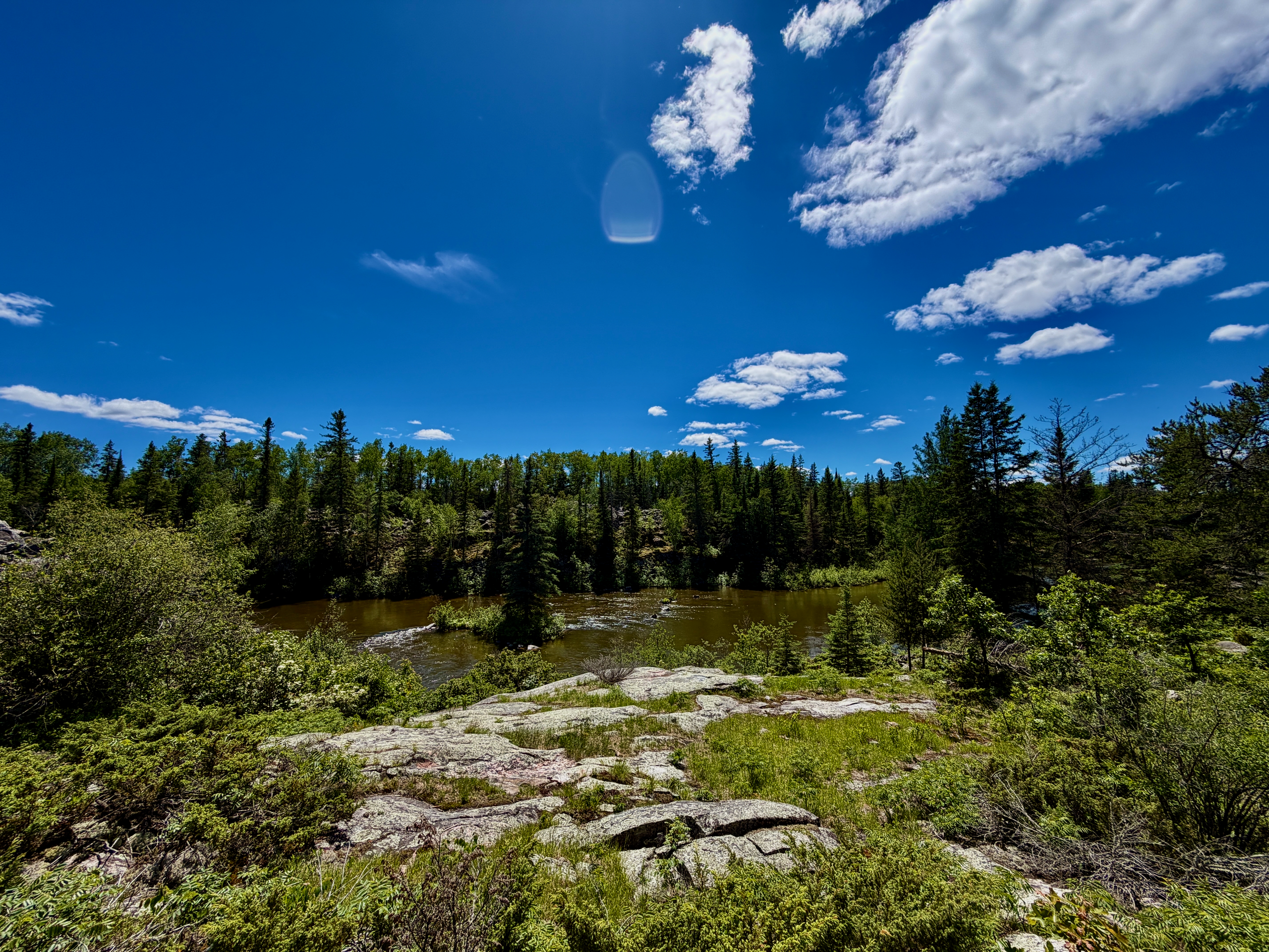
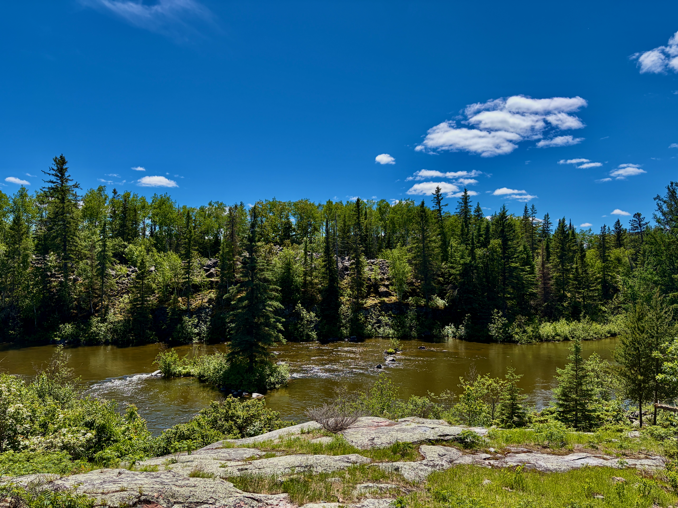
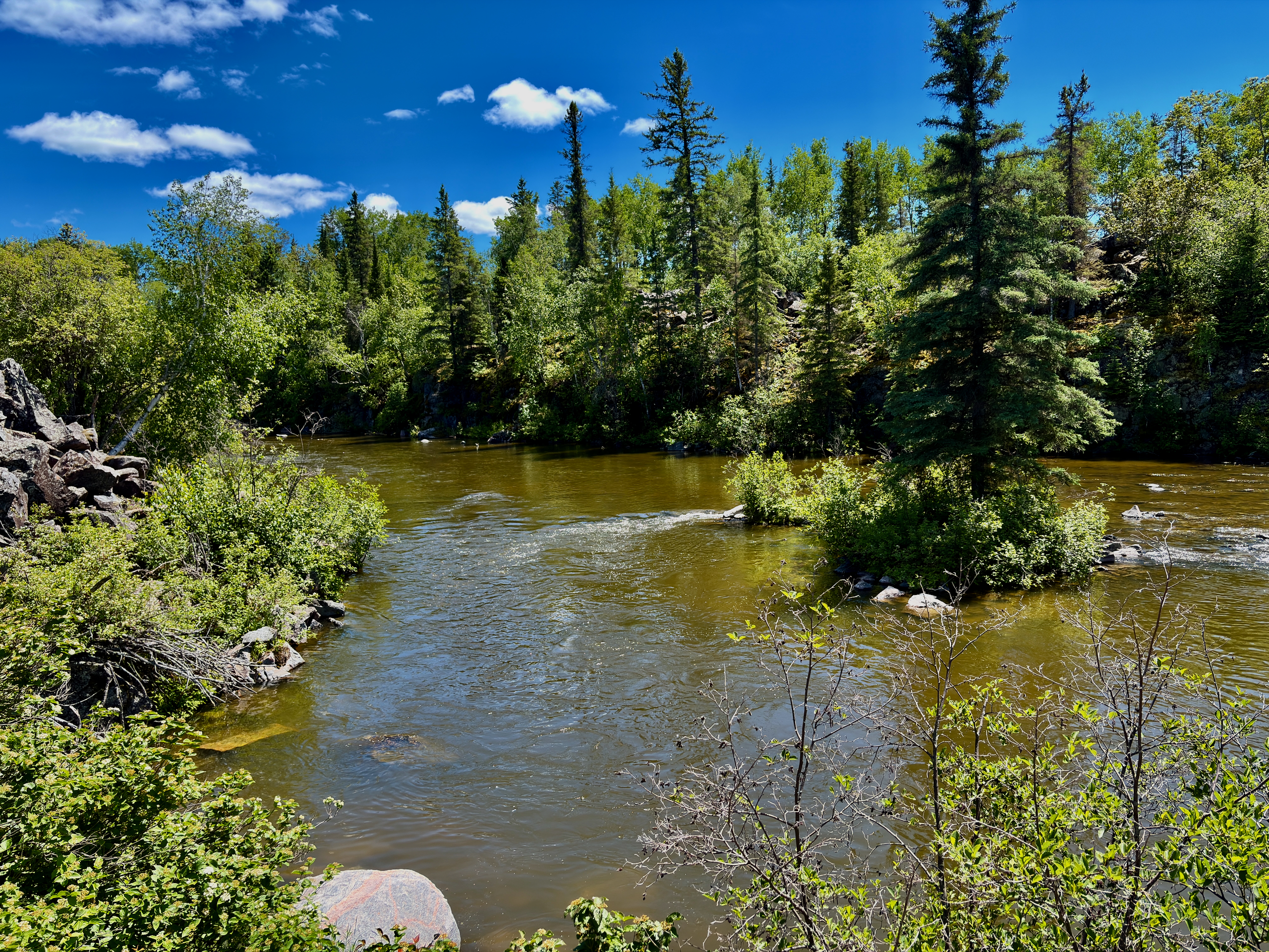
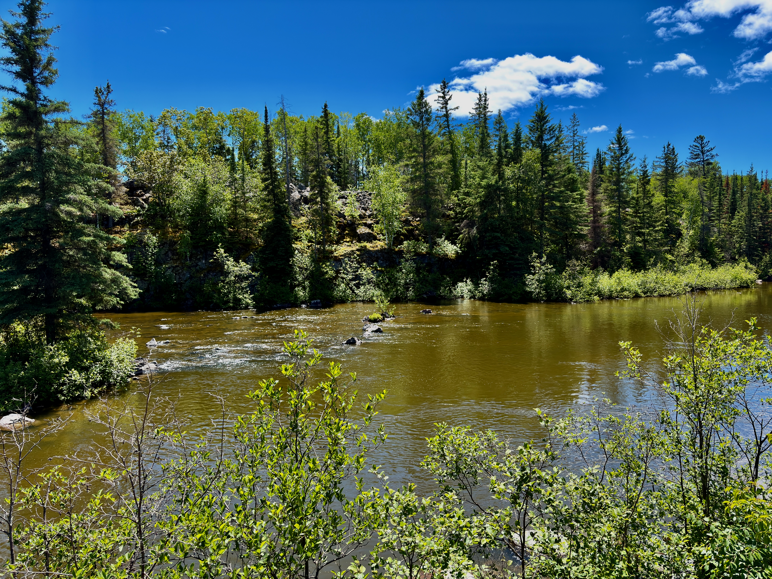
The first thing we hit was the suspension bridge over the Pinawa Channel. It’s narrow — exactly one metre wide — and it gives a little under your feet, so the first steps are cautious ones. But it’s a lovely crossing: calm dark channel water below, solid forest all around. Local volunteers built it back in the late 1990s, and the community calls it the “Labour of Love” — more on that in the place guide.
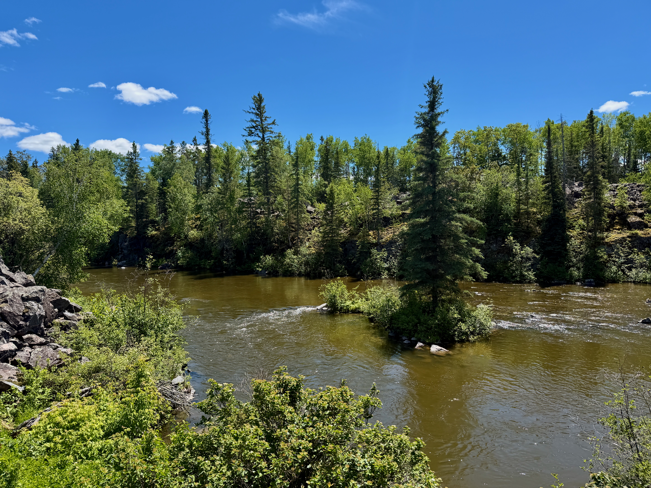
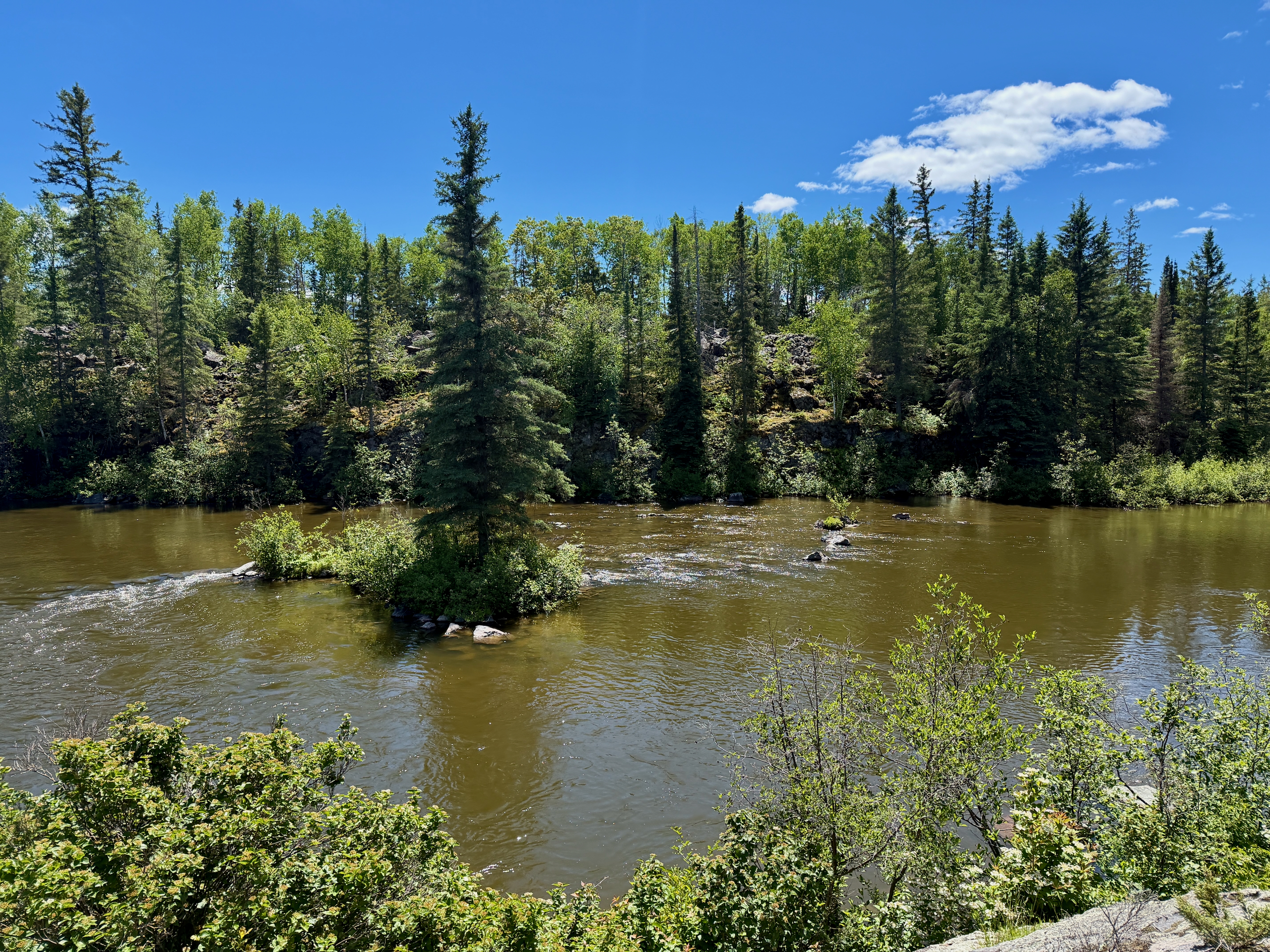
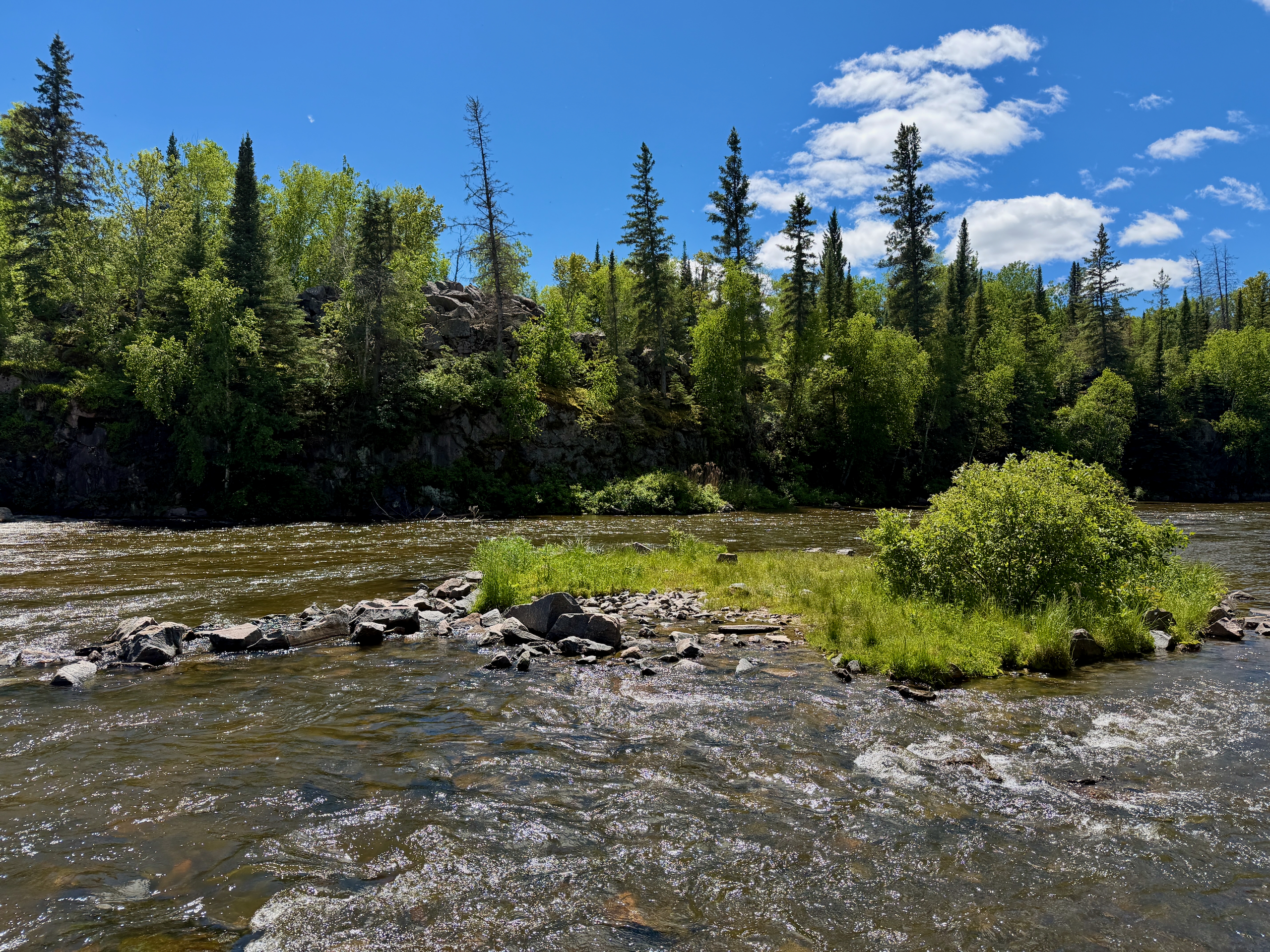
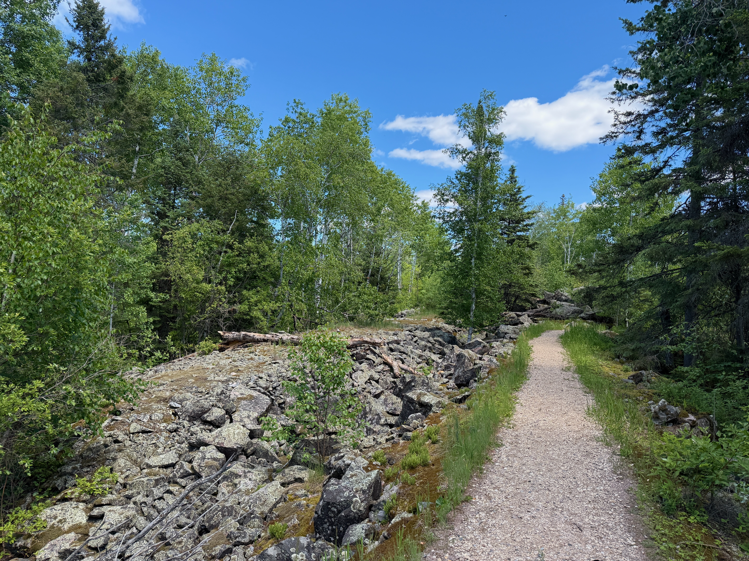
Along the channel to the dam
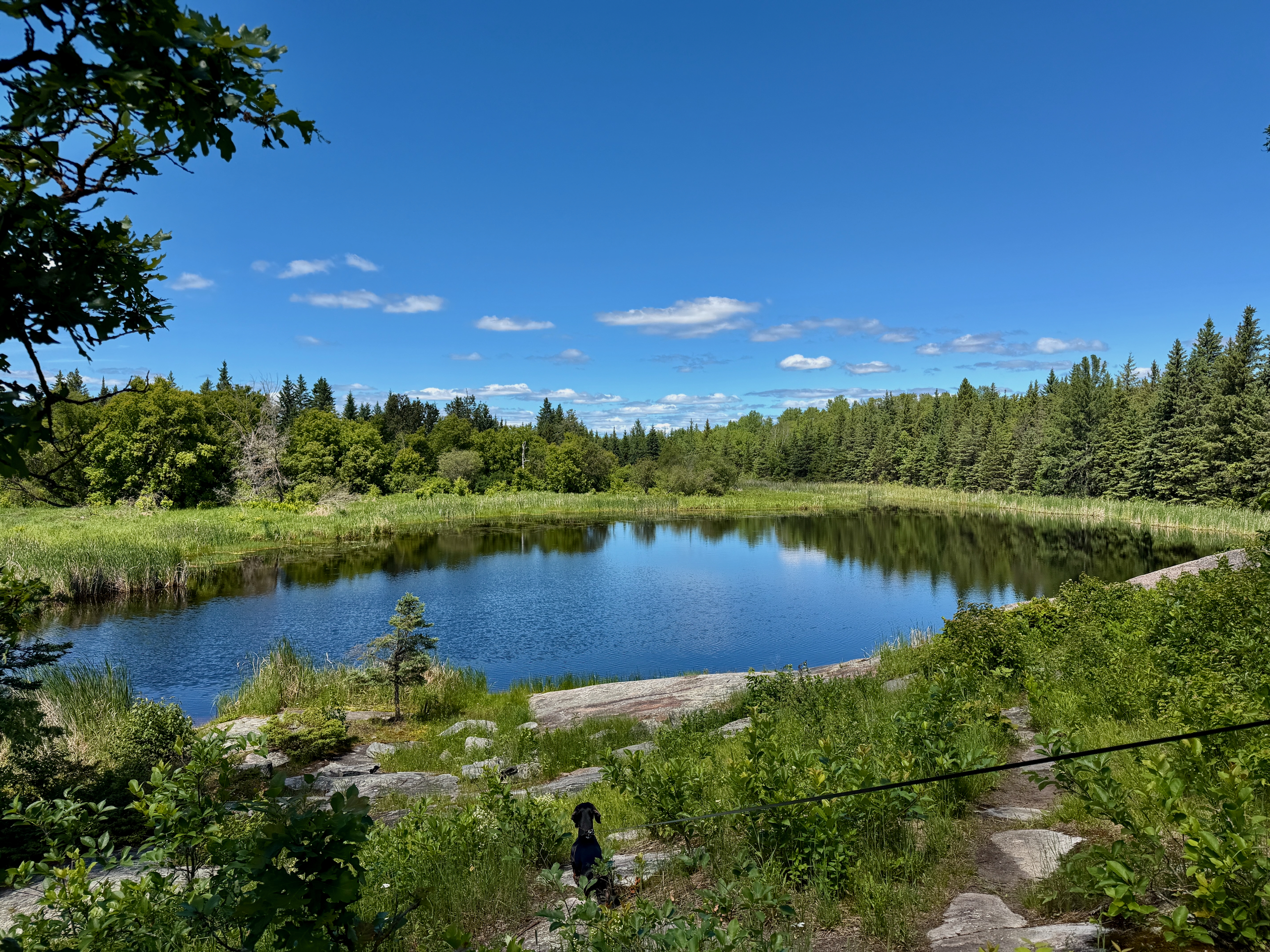
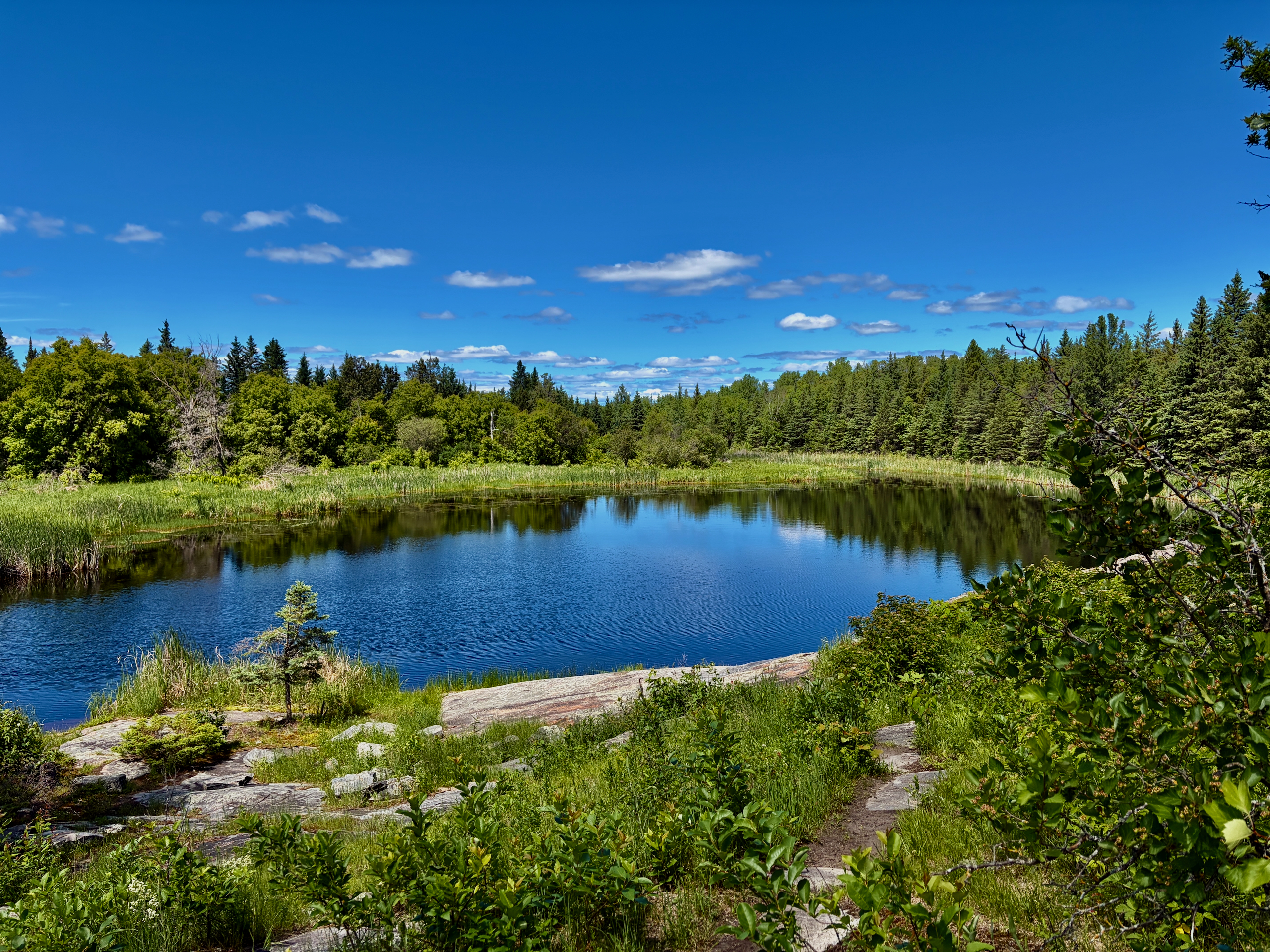
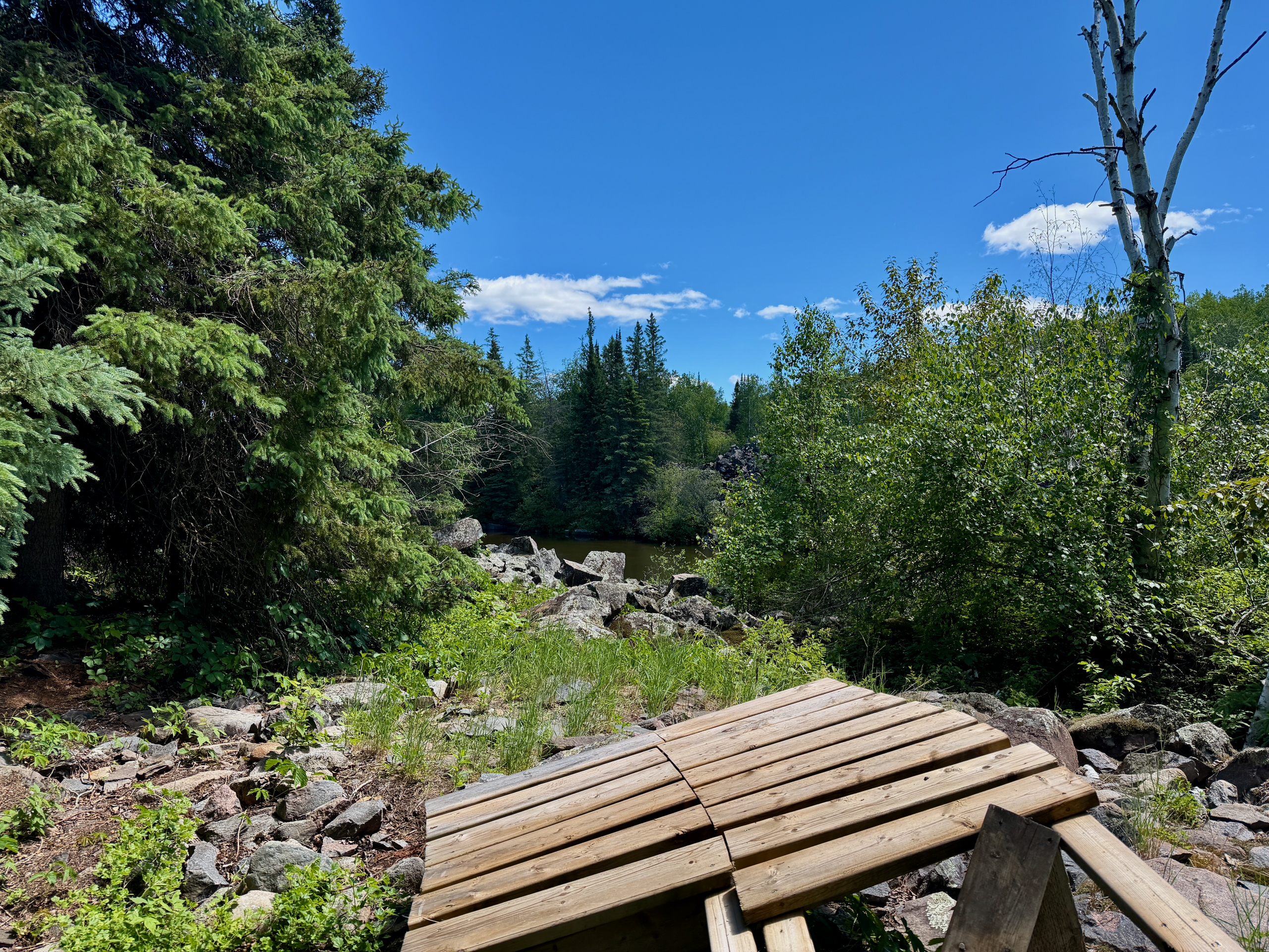
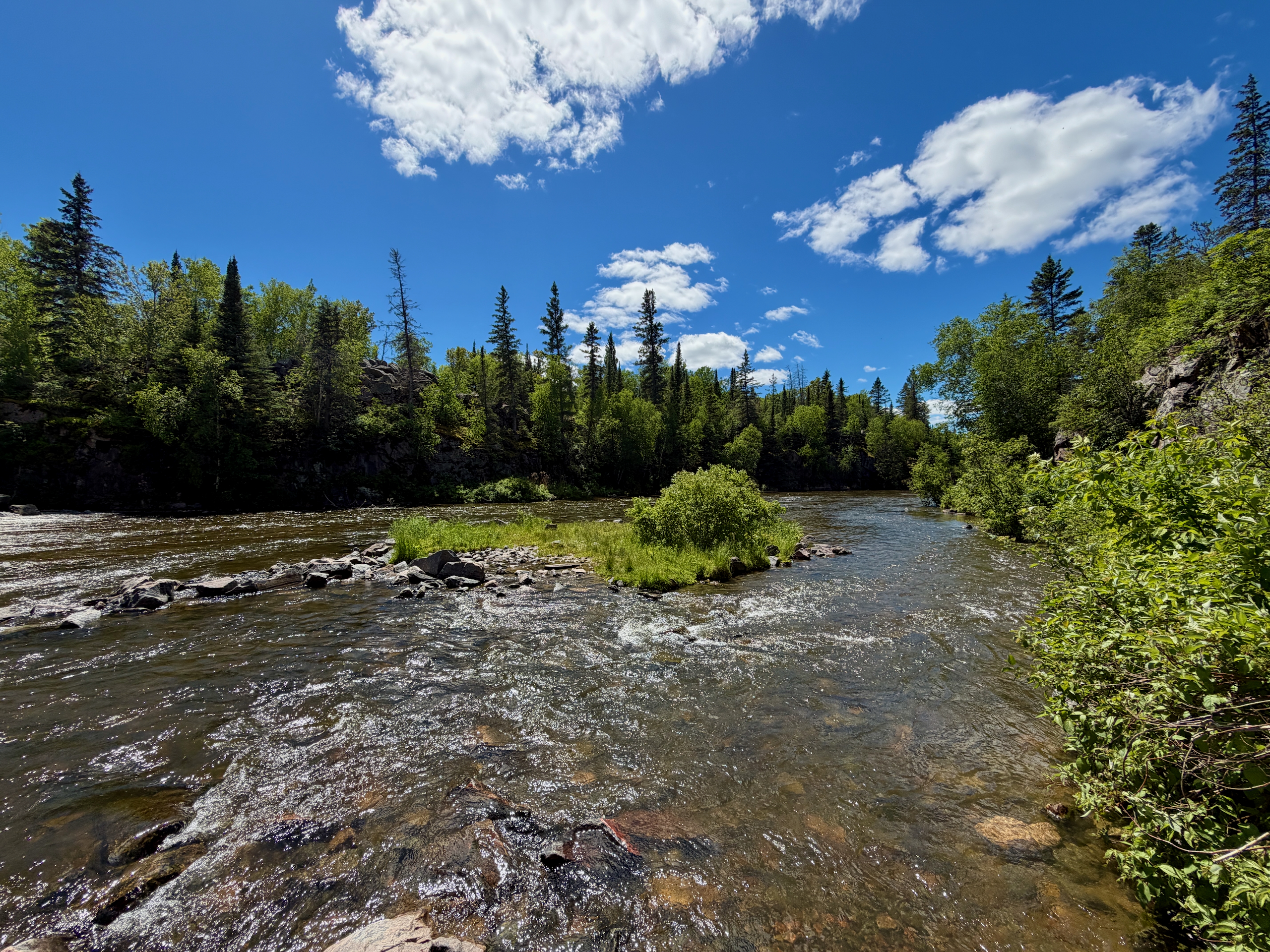
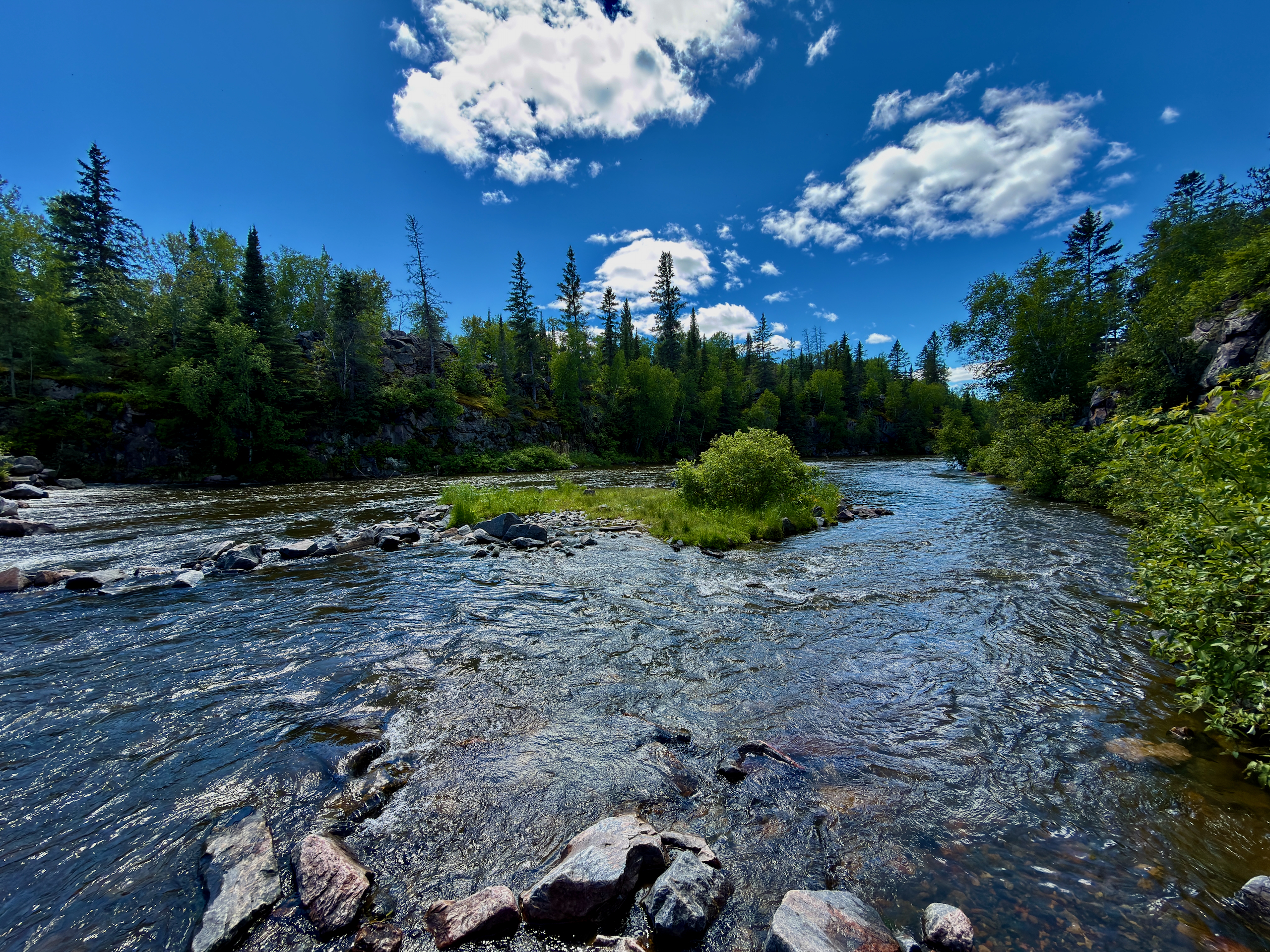
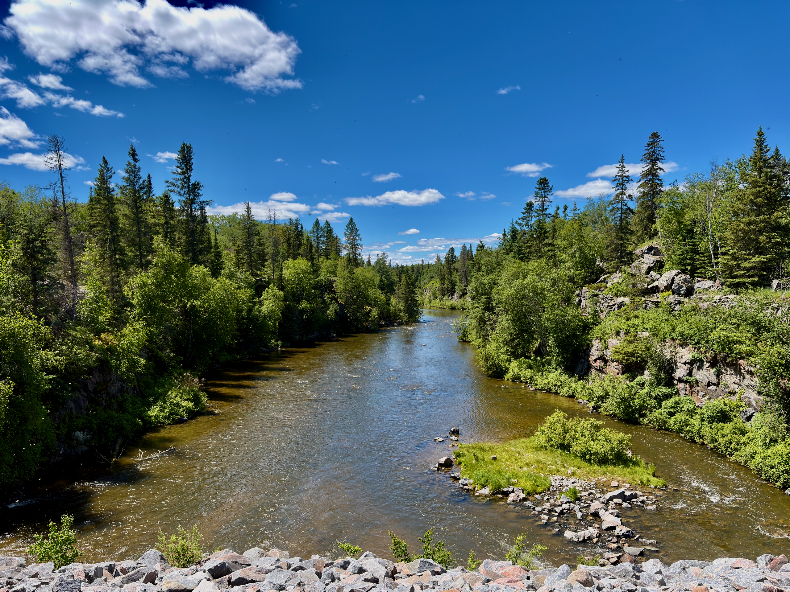
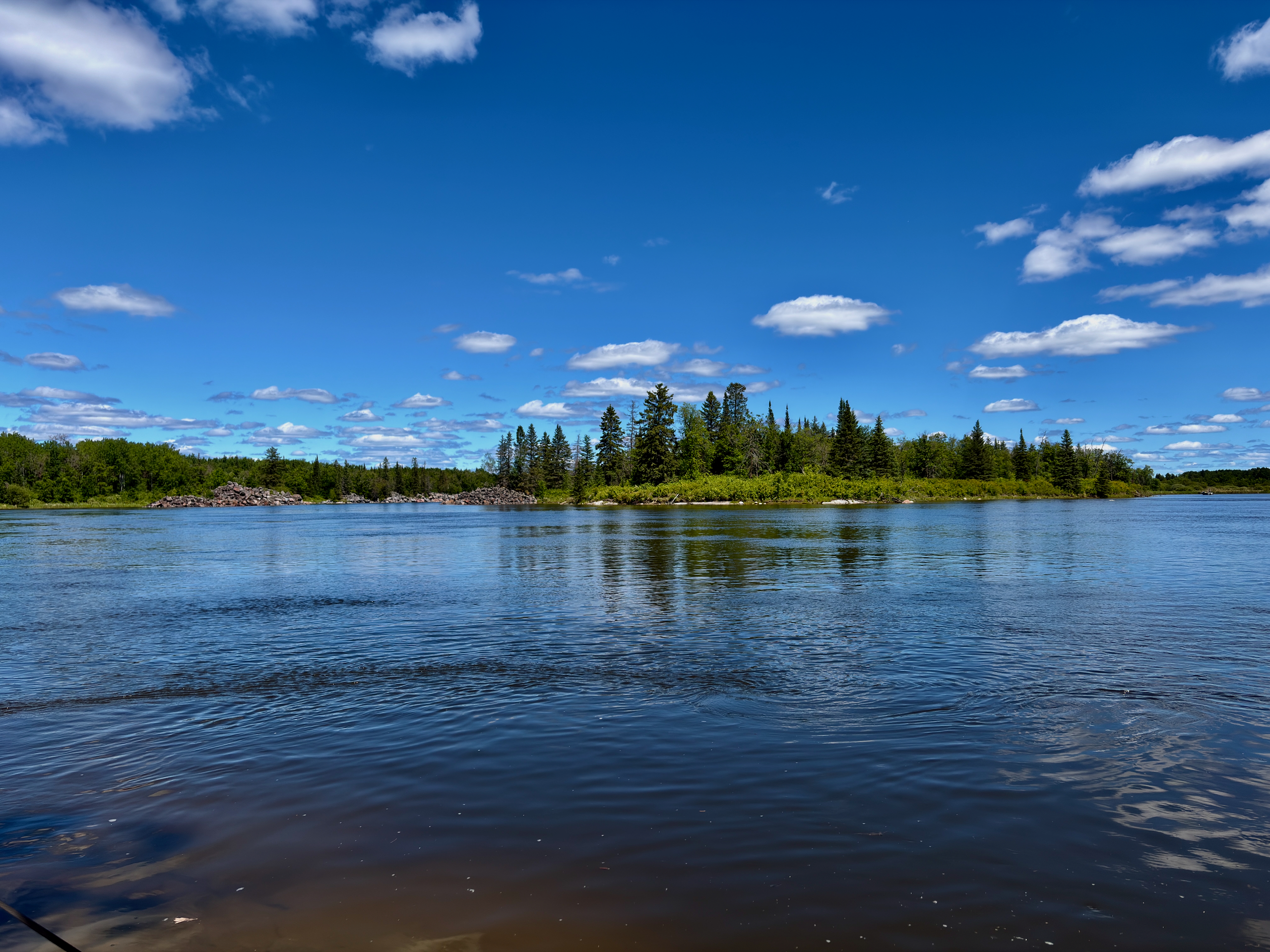
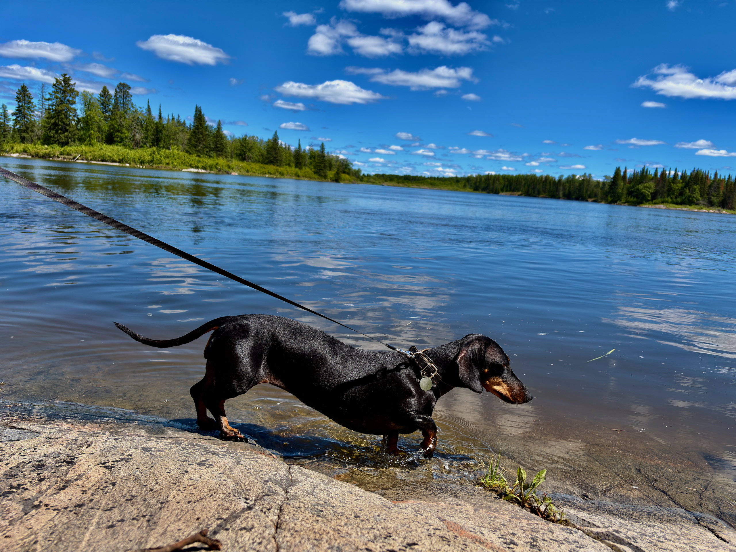
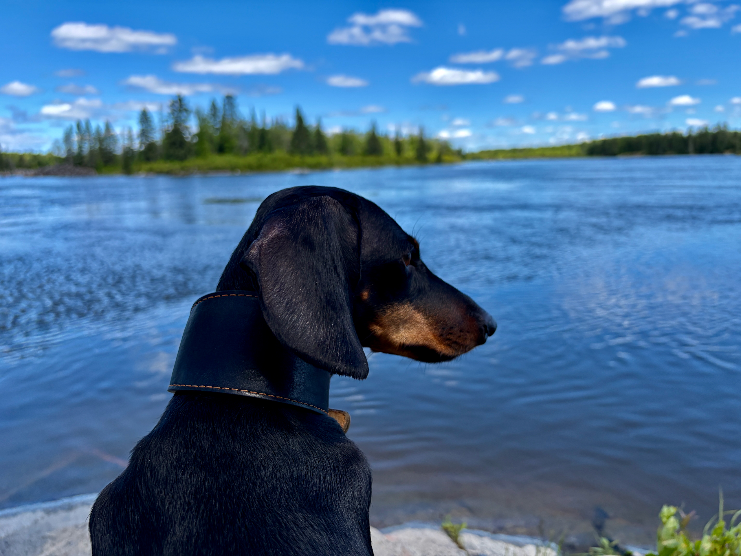
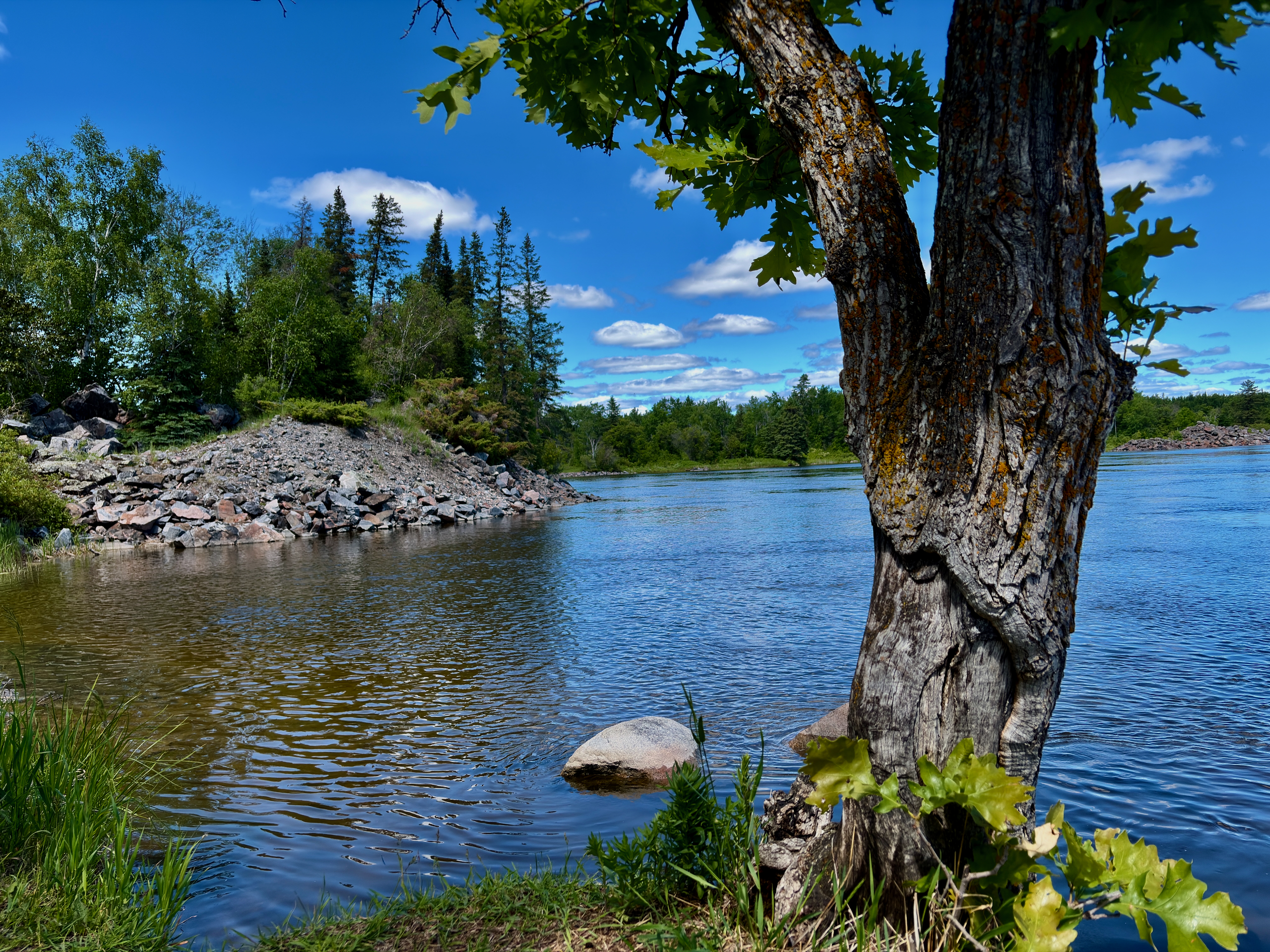
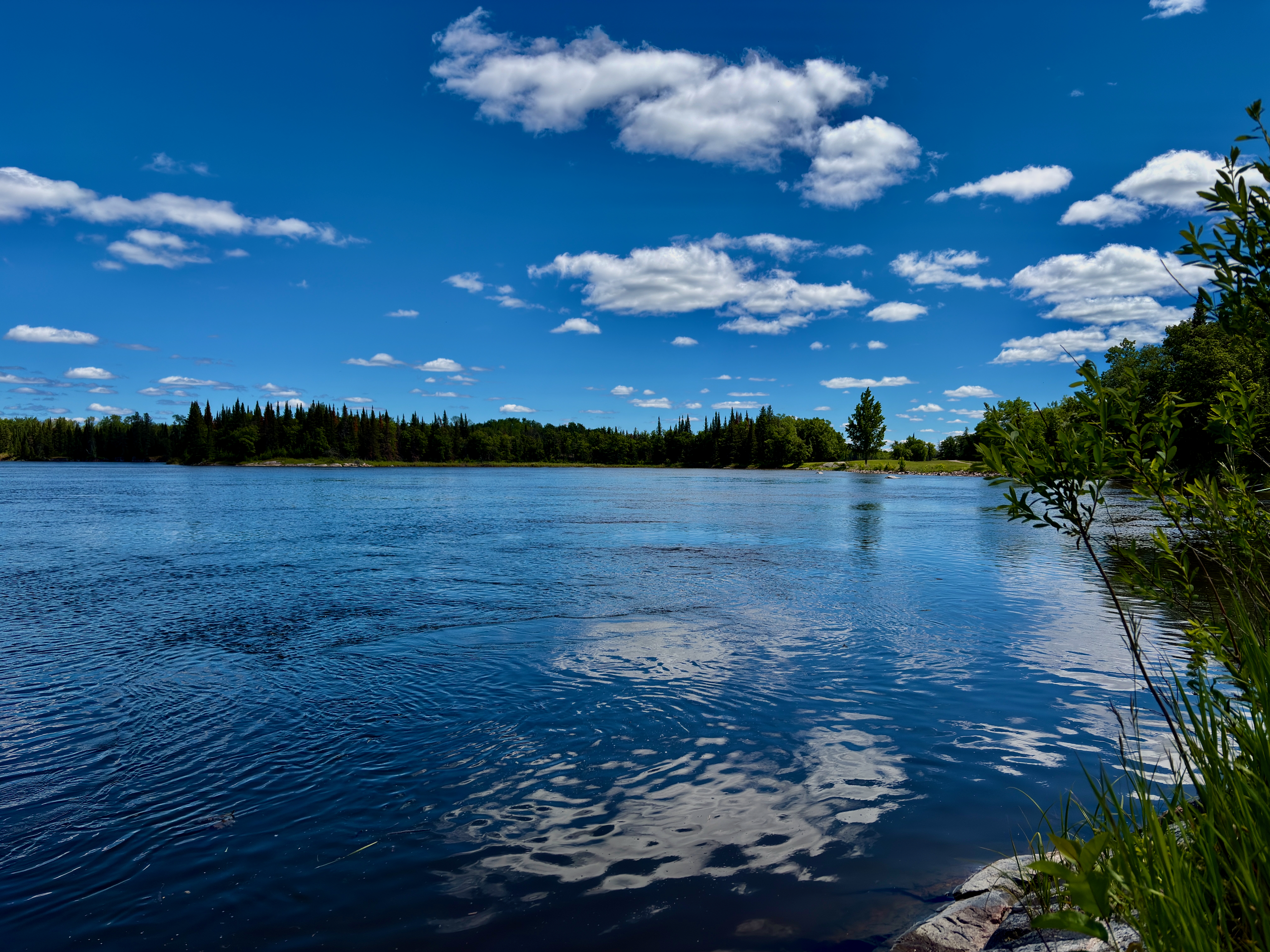
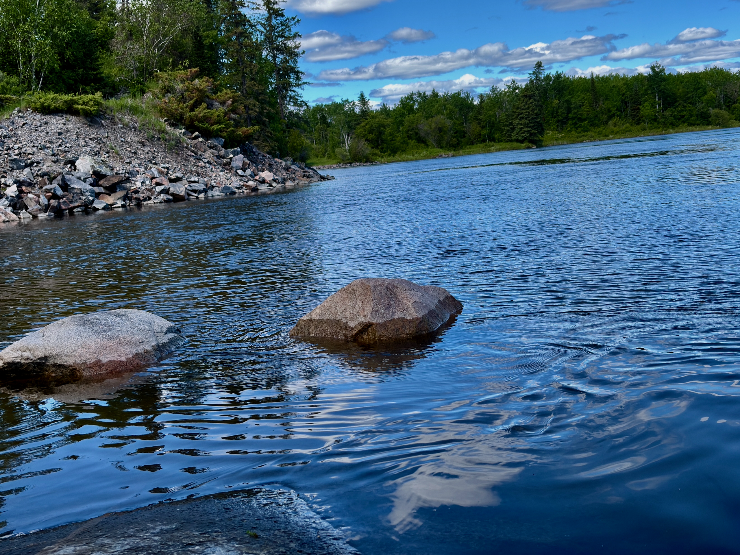
Across the bridge we picked up the Pinawa Channel Heritage Walk, turned onto the Red Trail Extension, and from there just stayed on the route: it follows the river upstream. The path runs through forest, over granite boulders in places, hugging the water the whole way.
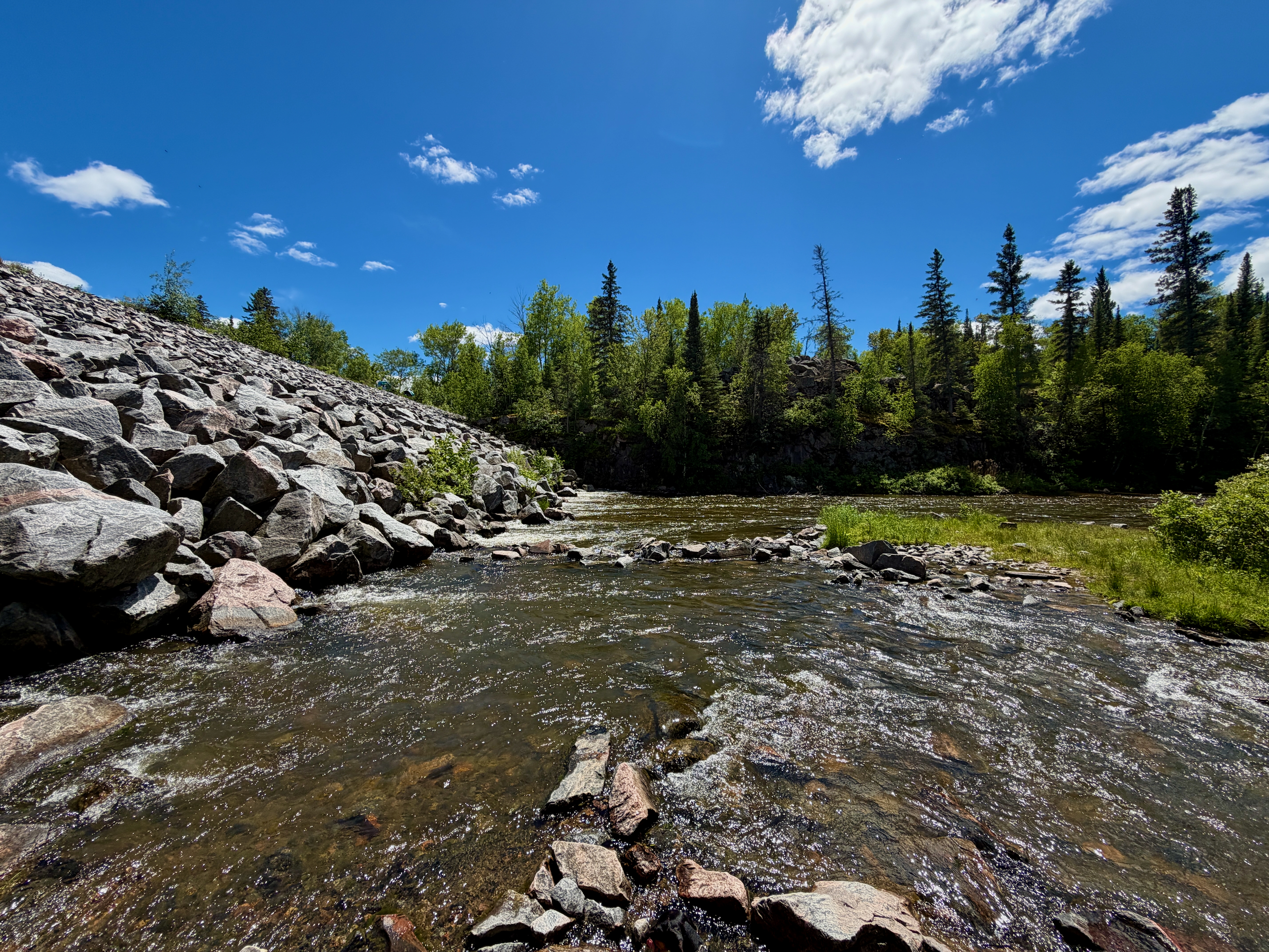
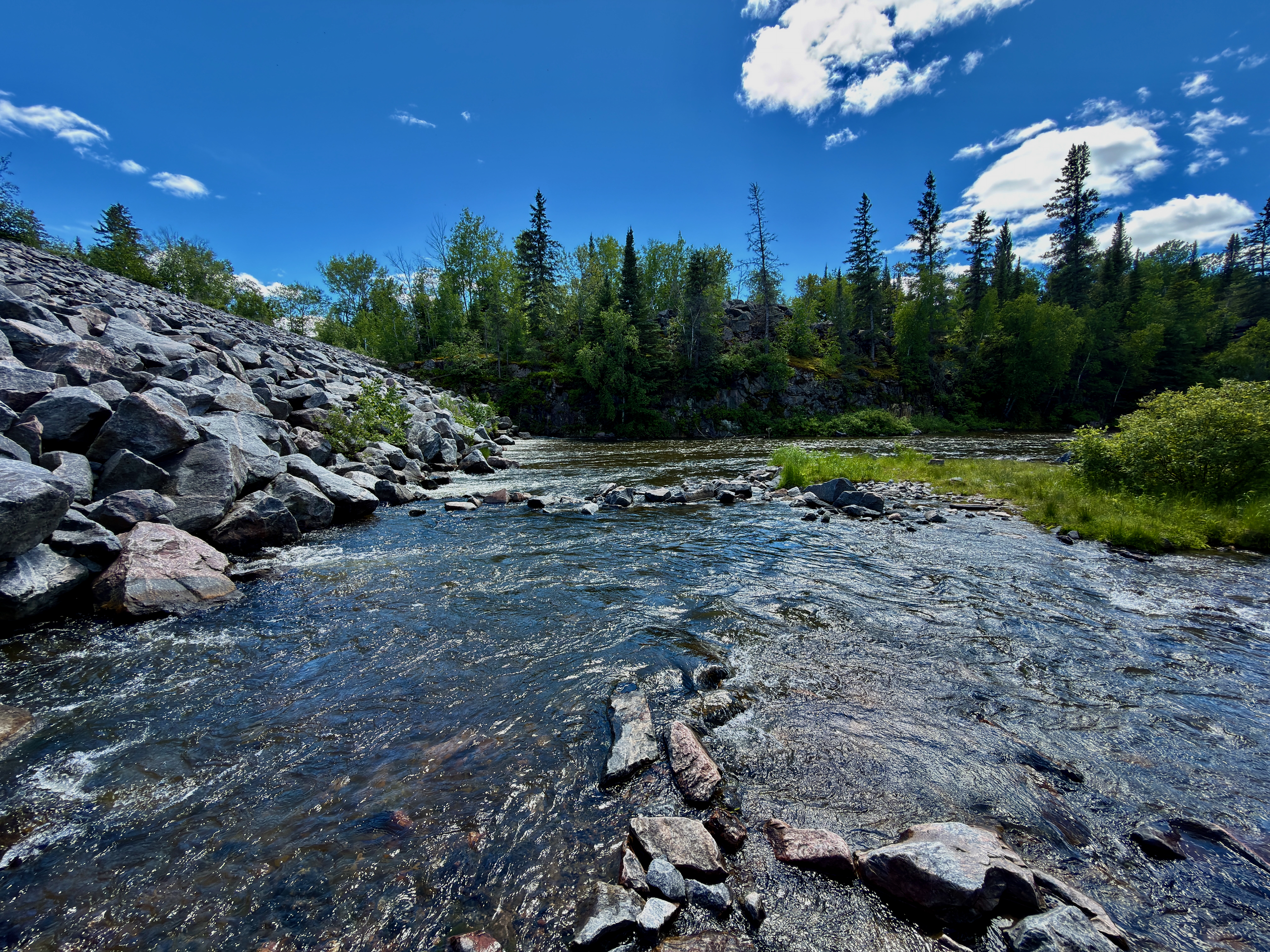
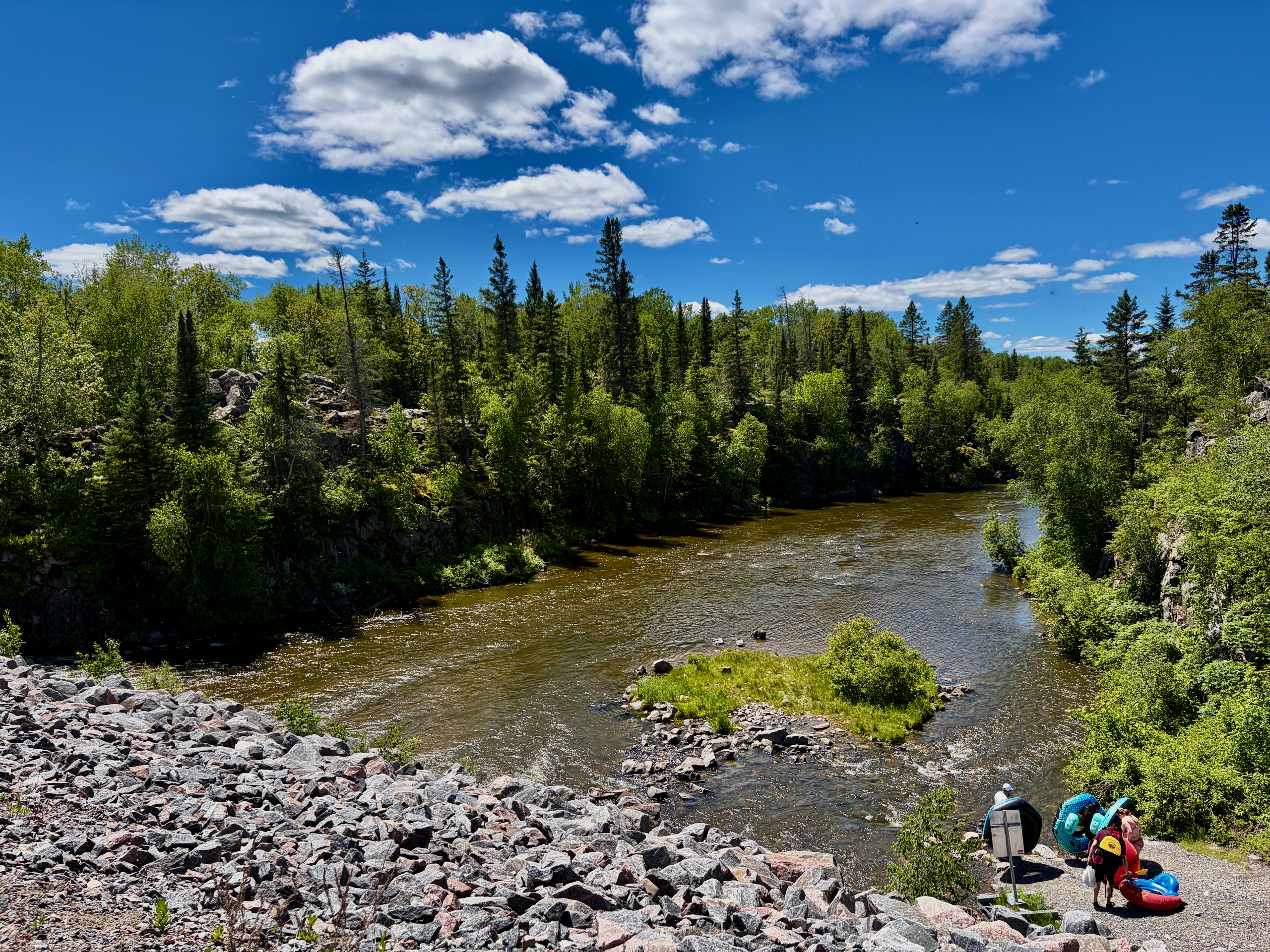
That’s how we reached a dam built of huge boulders. We crossed it — and ended up back on the same side of the river we’d started from. Except the car was now about 3 km away.
Running for the car — and who picked me up
From here we had two options: backtrack along the channel, or take the shorter way along the road. We wanted to fit in one more stop, so I chose the road. But I didn’t want Anna and Nika walking the roadside under full sun with no shade, so I left them sitting by the water and ran ahead for the car.
Halfway along, a bus that looked like a typical school bus pulled over and the driver offered me a lift. Turns out it runs between the bridge parking lot and the dam: that’s where people put in to float down the channel on inflatable tubes. The tubes, by the way, can be rented right there. The area by the dam is set up for it too — parking, an ice-cream stand, float gear. And there’s a golf course next door, so golf carts come and go; worth keeping an eye out along that stretch.
A stop in Pinawa town
With the car, Anna and Nika back together, we headed home — but first ducked into the town of Pinawa itself for gas and coffee. No coffee at the station, sadly, but there was cold tea.
The town felt very quiet — quiet enough that deer were strolling down the street, unbothered by passing cars. It read more like a summer town people visit in season than a place buzzing year-round. No offence to anyone — that stillness was exactly what we liked.
Seven Sisters, where the waterfall wasn’t
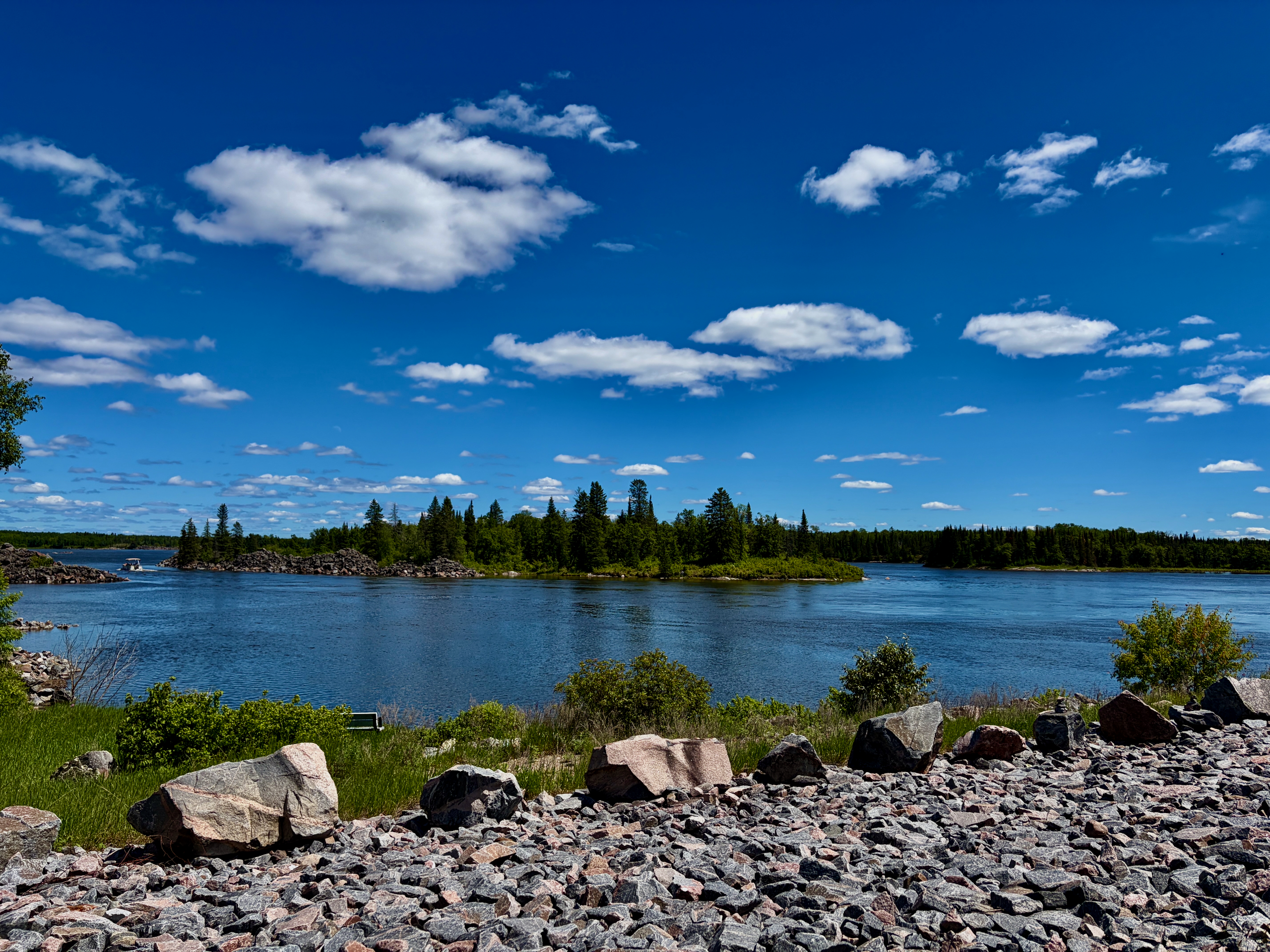
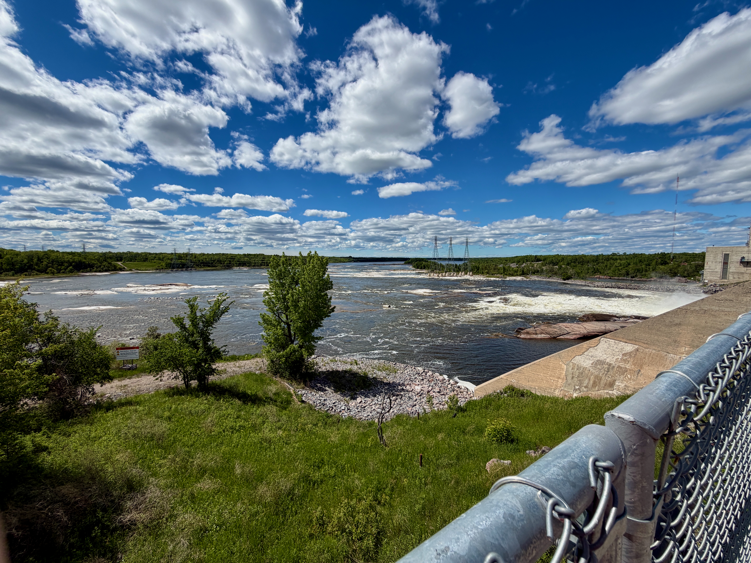
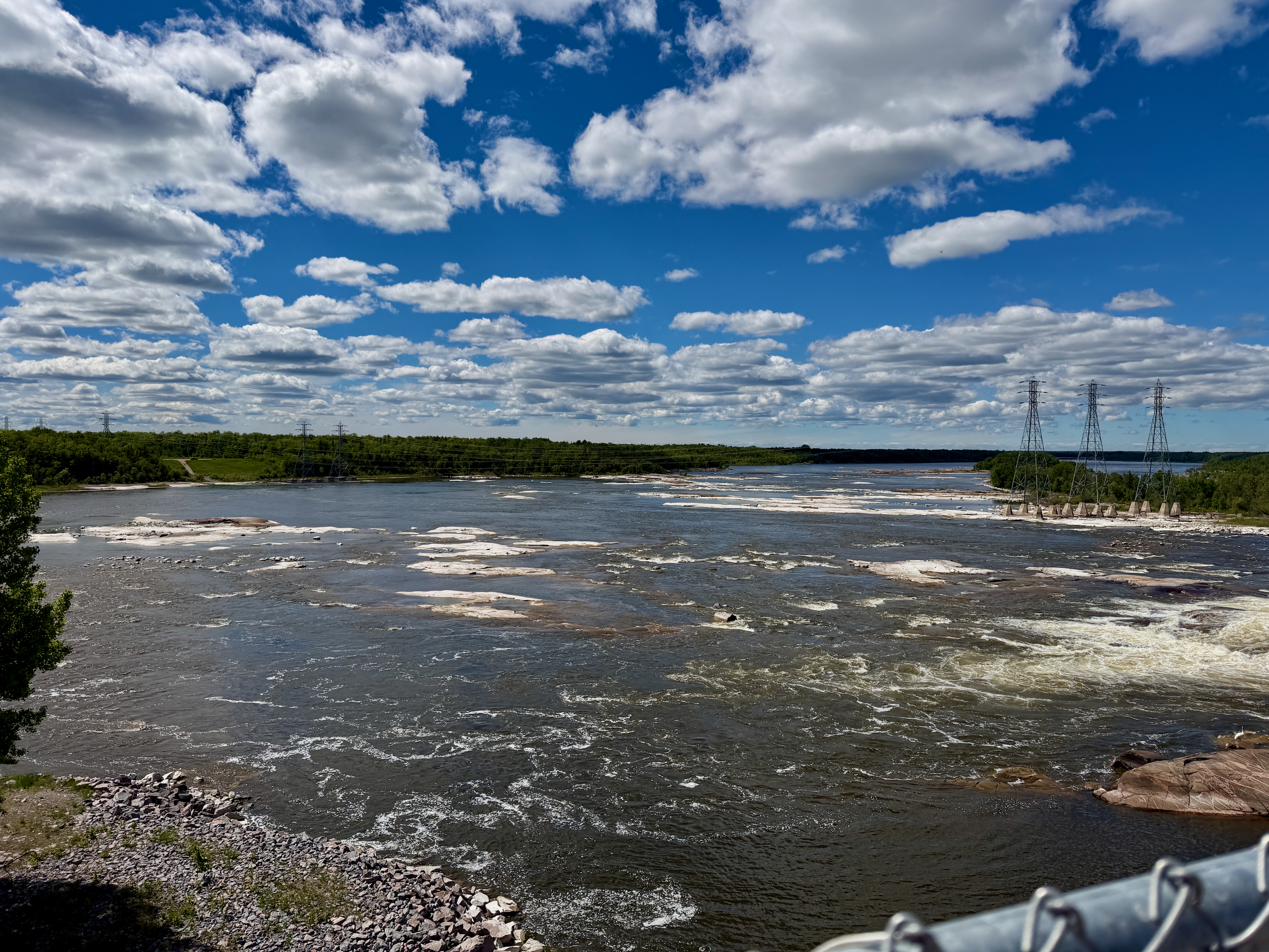
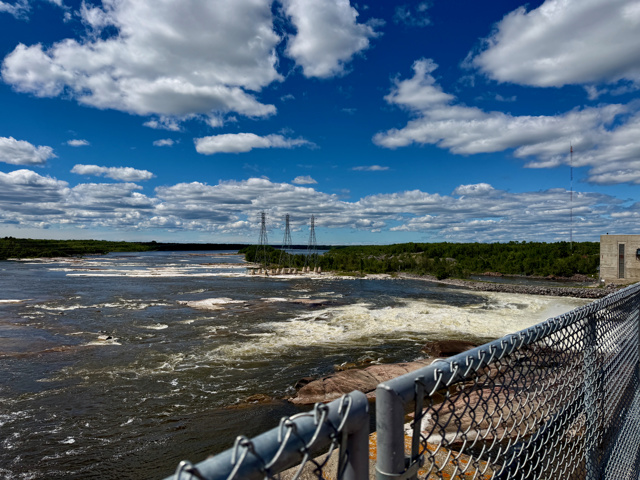
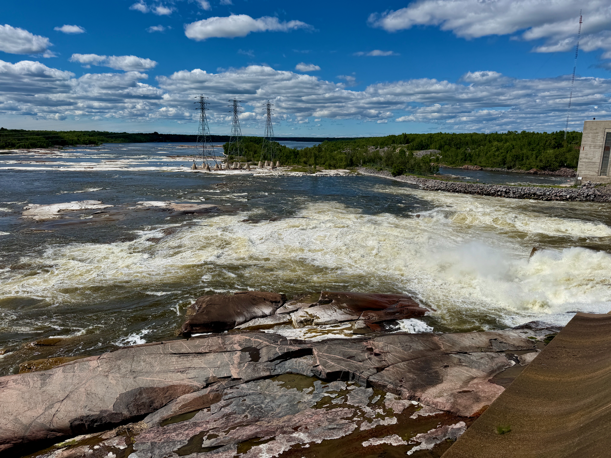
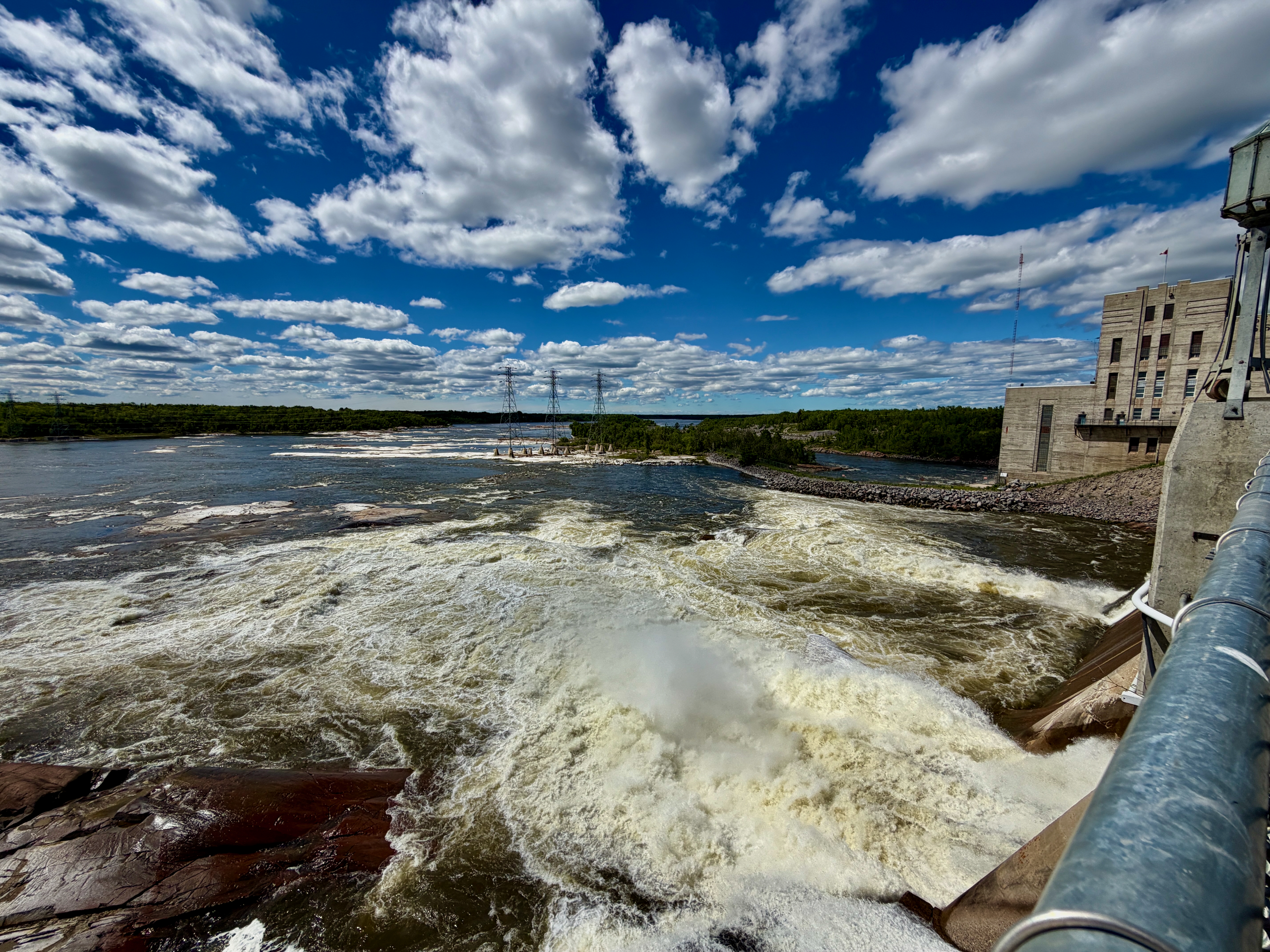
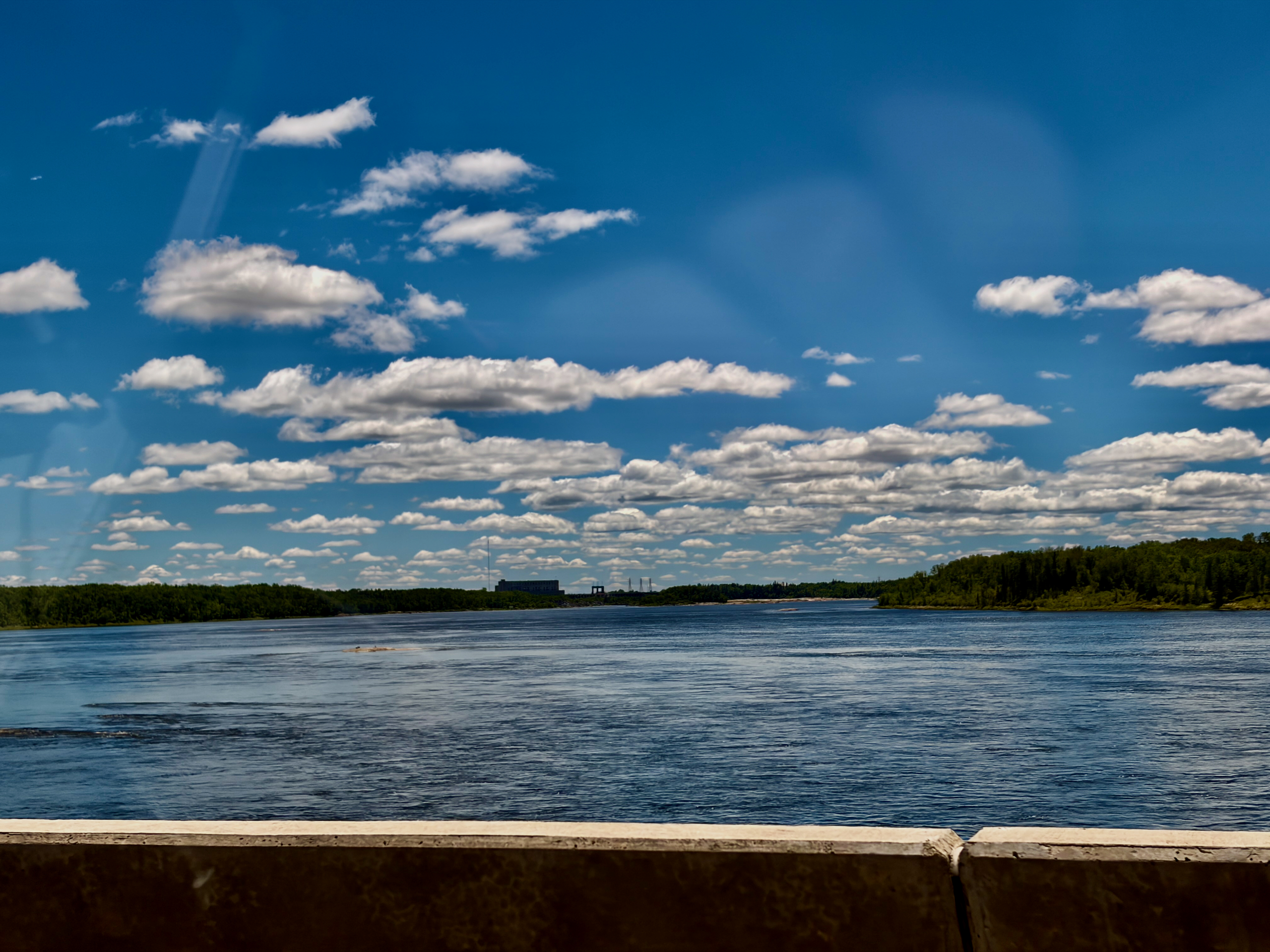
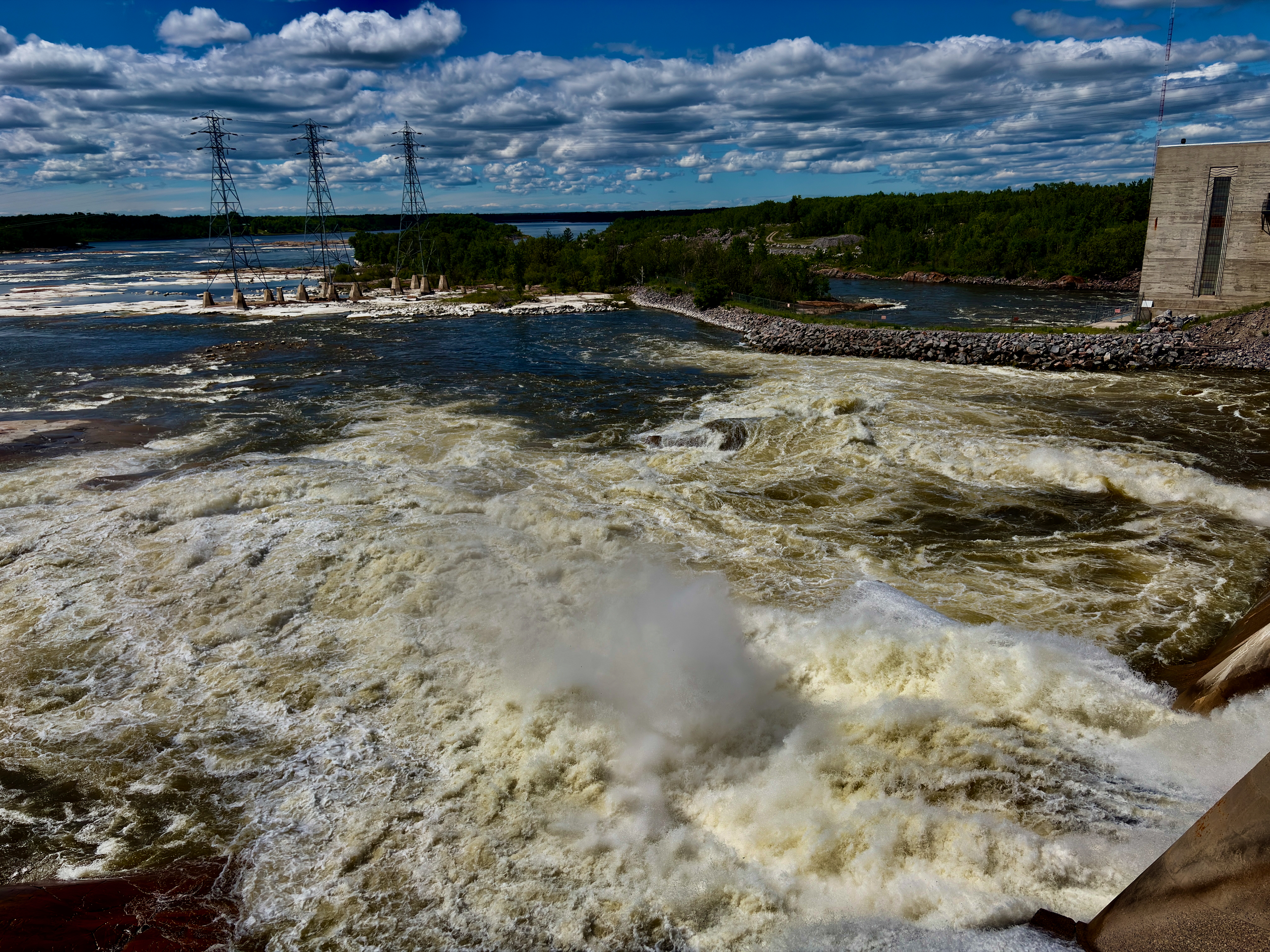
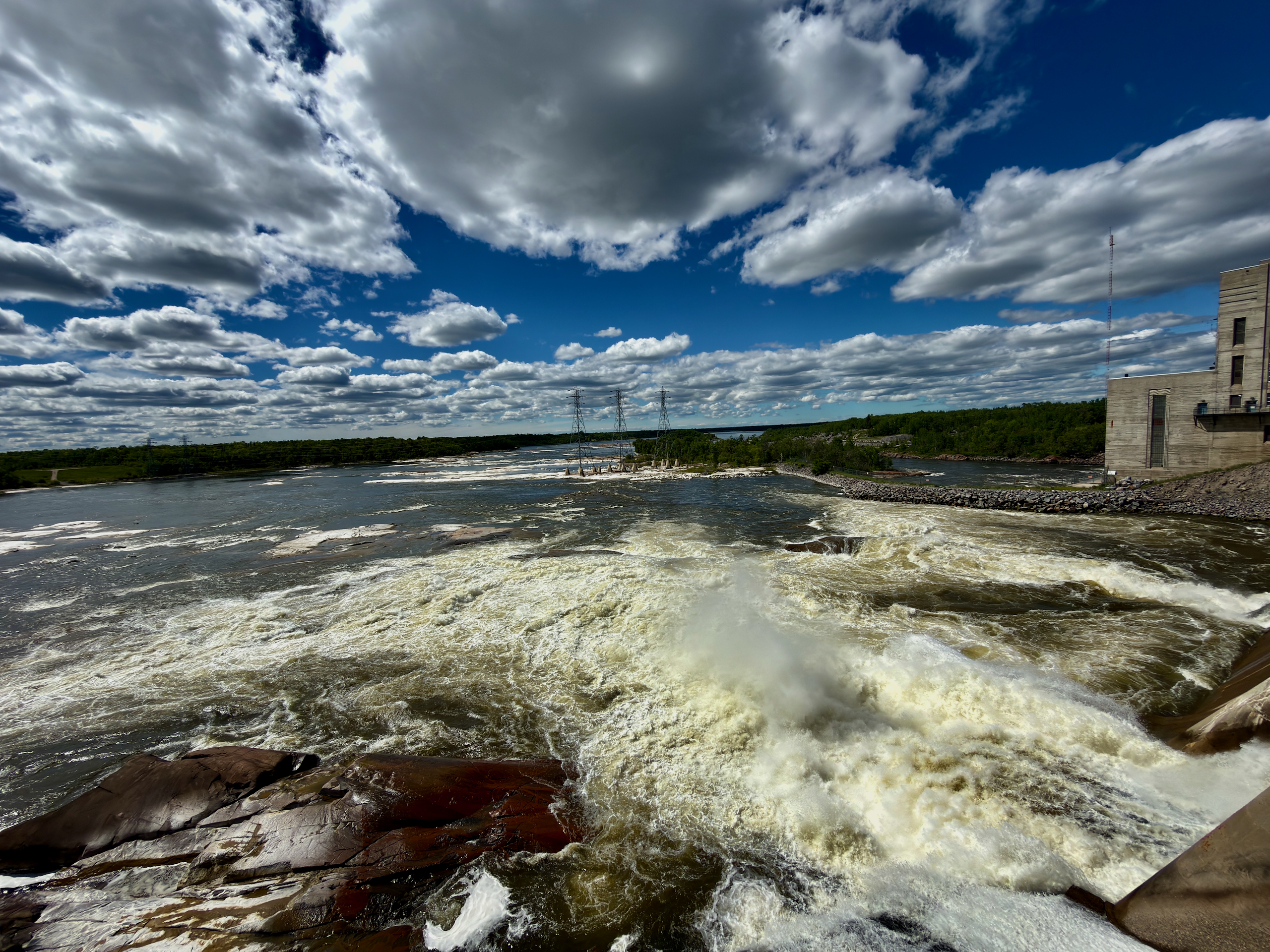
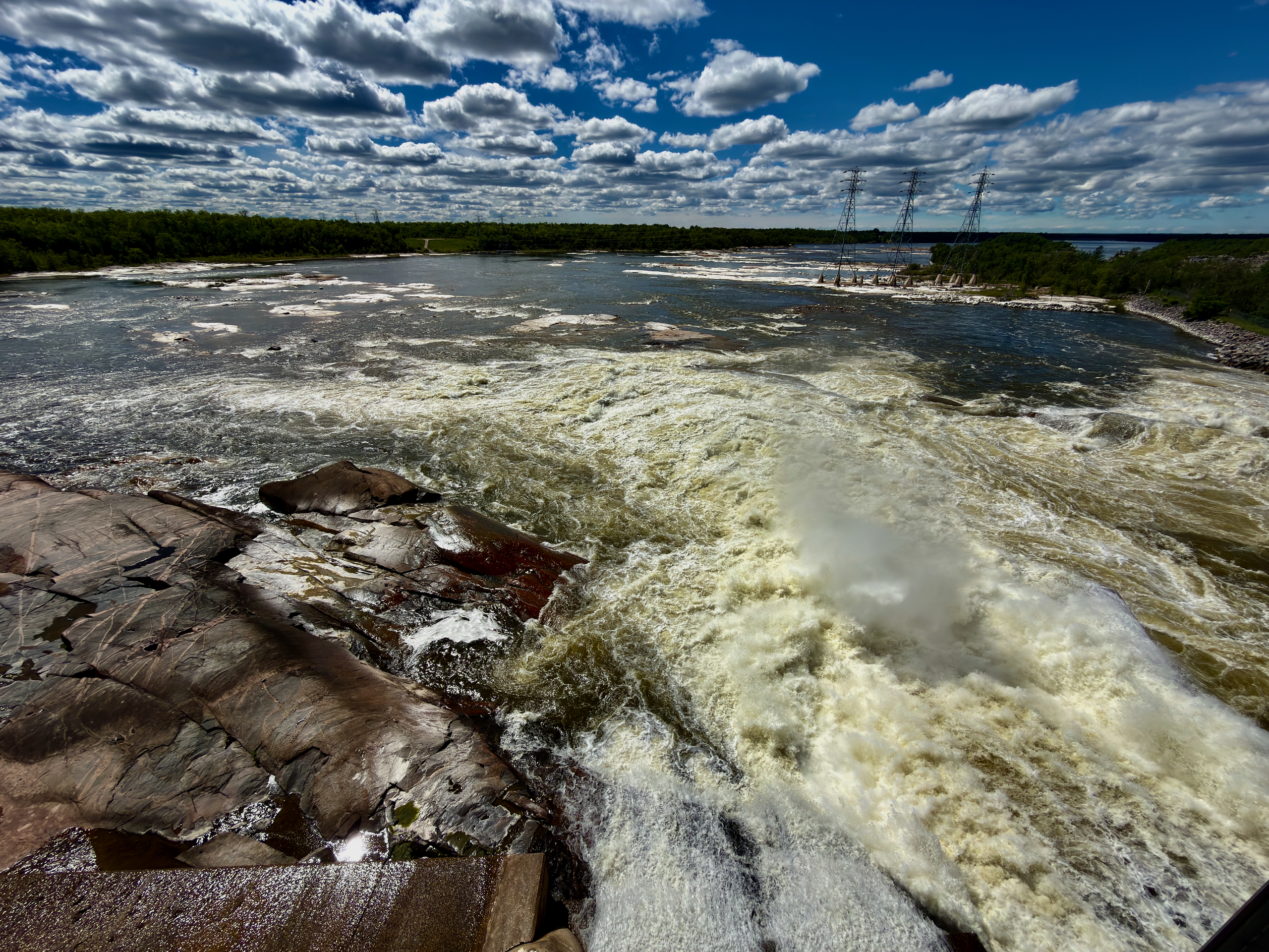
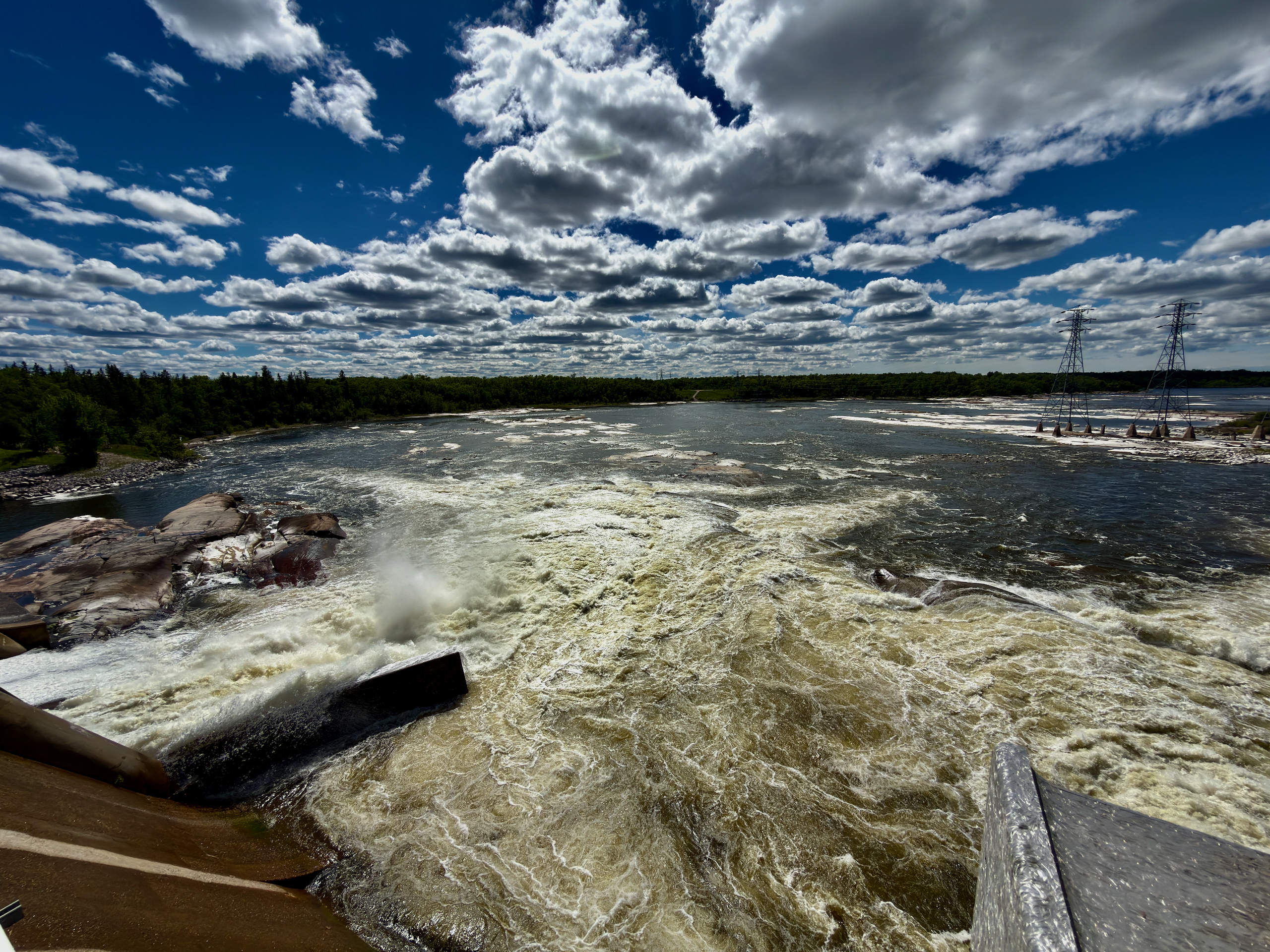
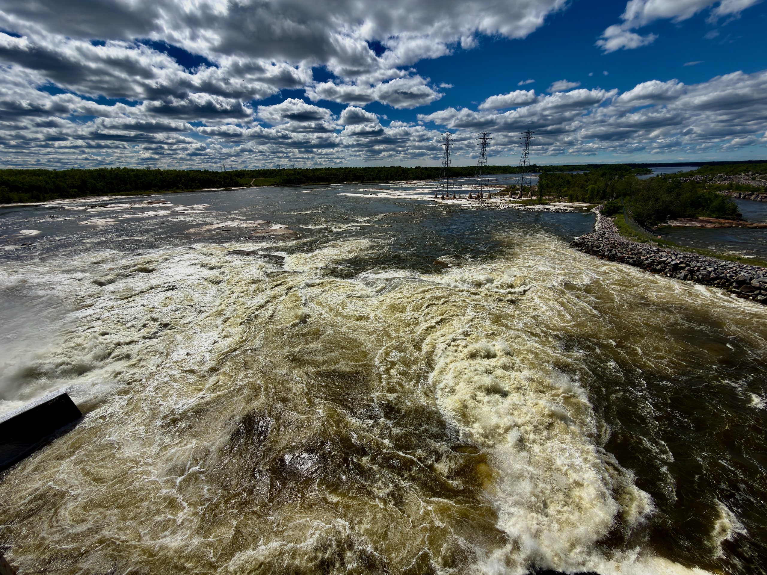
Further down the road we pulled into Seven Sisters Falls. Honestly, the name had us expecting a waterfall — but following the signs, we never found one. What we found instead was the Seven Sisters Generating Station: a wide river, rapids, and a dam behind a chain-link fence.
Only back home did we work out why: to see actual falling water and small falls, we should have turned off a little earlier, toward Whitemouth Falls Provincial Park. We didn’t regret it — but if you’re planning, don’t repeat our mistake; the details are in our guide to Seven Sisters and Whitemouth Falls.
And now, the tweezers: ticks
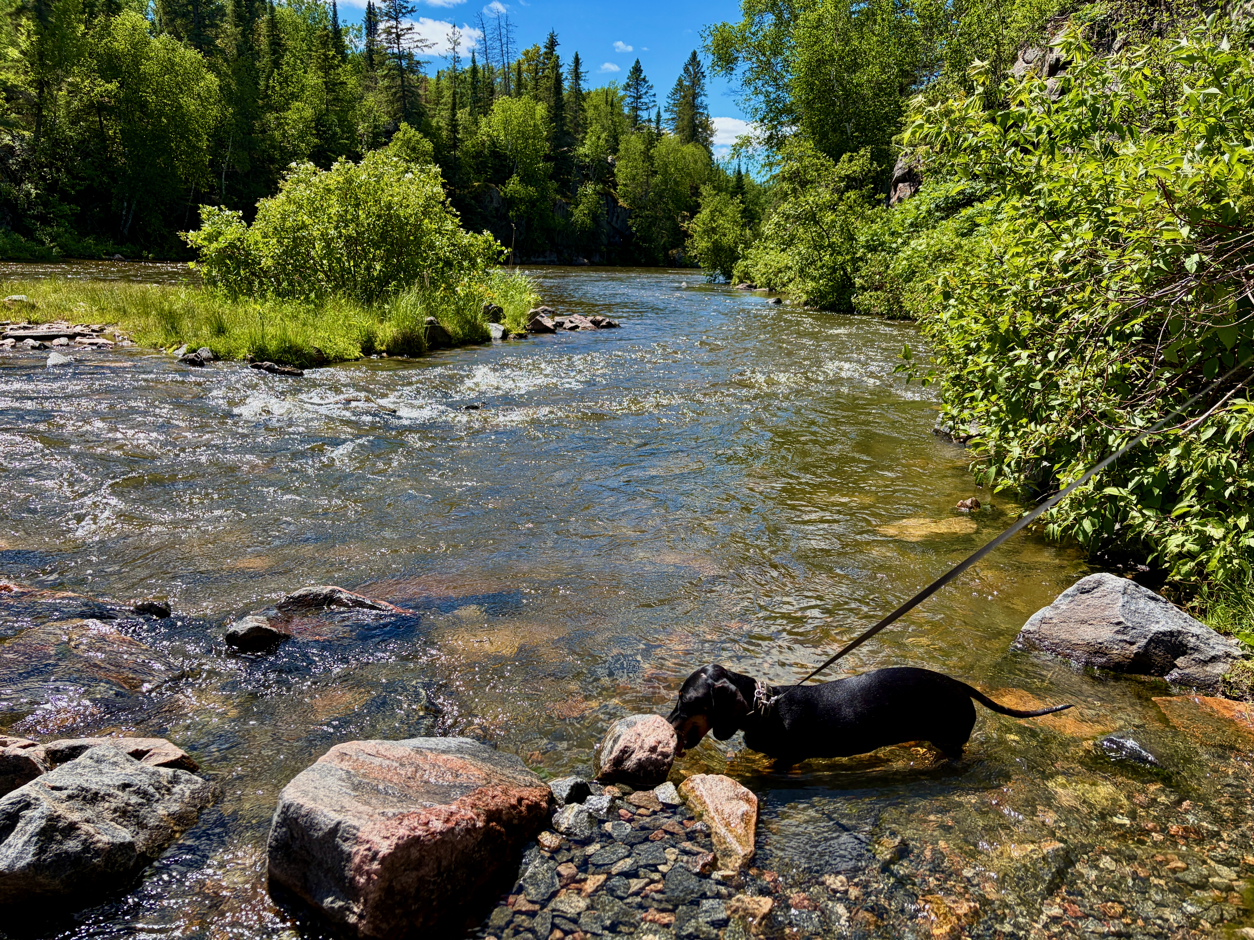
Here’s the promised explanation. I grew up in a small Ukrainian village surrounded by nature, so ticks are nothing new to me. The trail is hemmed in by trees, and on top of mosquitoes there are plenty of them, so we kept checking ourselves, each other and Nika as we went. Over the whole route we pulled about five off Nika alone, plus a couple off ourselves that hadn’t dug in yet.
A tip from experience: as soon as you get home, check yourself again carefully and put your clothes straight in the wash. It sounds dull, but it’s the smartest thing you can do after a forest trail in tick season.
When to go
The best window is a warm, dry summer day. The channel and the forest open up in sunny weather, and if tubing is the plan you’ll want real warmth. We deliberately waited for a break between the rains, and it paid off: forest, calm water, quiet, and that feeling of a day spent right. Even the ticks couldn’t spoil it.
| Detail | Info |
|---|---|
| From | Winnipeg |
| To | Pinawa, MB (R0E 1L0) |
| Distance (one way) | ~130 km |
| Drive time | ~1.5 hrs |
| Trip length | Full day |
| Walking route | Bridge → Channel Heritage Walk (~3.5 km) → dam → ~3 km back by road |
| Parking | $10/vehicle day pass (valid to 11:59 p.m.), QR/HONK |
| Bring | Water, snacks, mosquito spray, tweezers (ticks!) |
| Dog | Allowed, on leash; check for ticks |
| Season | Summer |
Read next: the full guide to the Pinawa bridge and channel, our notes on Seven Sisters and Whitemouth Falls, and for quicker getaways a winter day in Selkirk with a similar riverside mood.