


The name promises a waterfall; the river hands you a power station — and that’s a story in itself.
Seven Sisters Falls is a small community in the RM of Whitemouth in southeastern Manitoba, on the Winnipeg River. We dropped in on the way back from Pinawa and were briefly confused: the waterfall the name promises was nowhere to be found. The reason turned out to be historical — and pretty striking. How we ended up here is in our story about the Pinawa day trip; this is the guide to the place.
Why is the town called Seven Sisters Falls if there’s no waterfall?
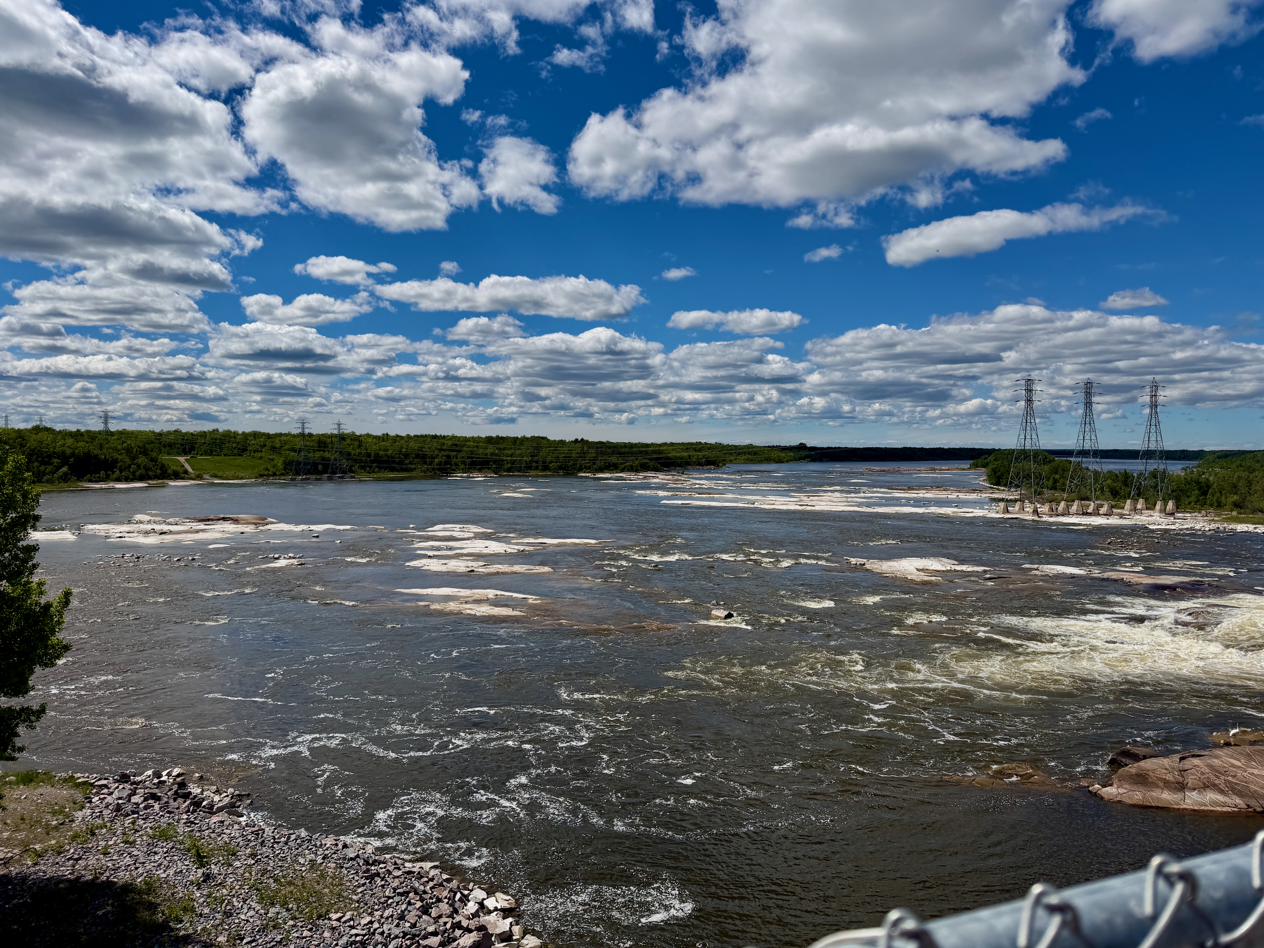
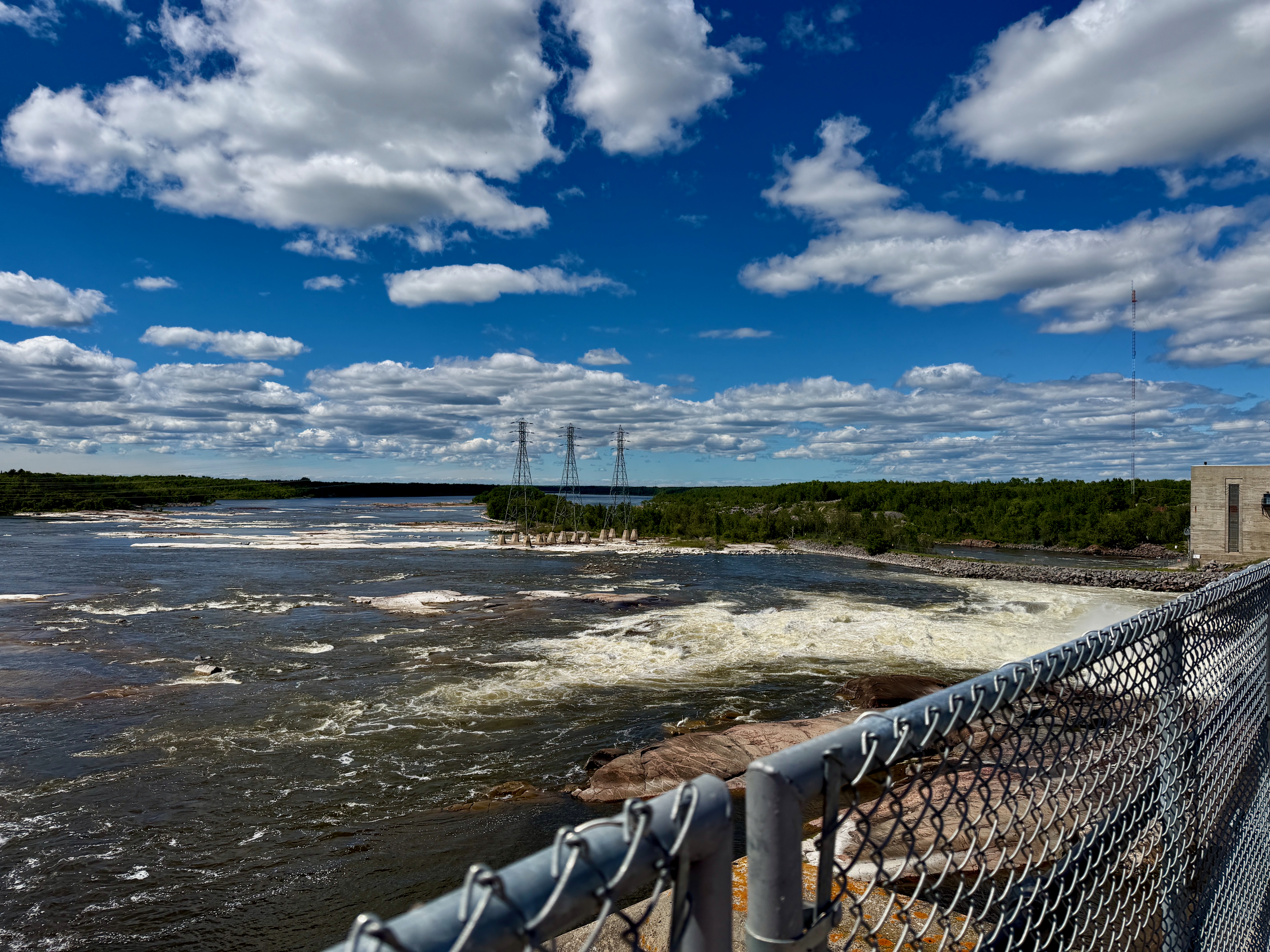
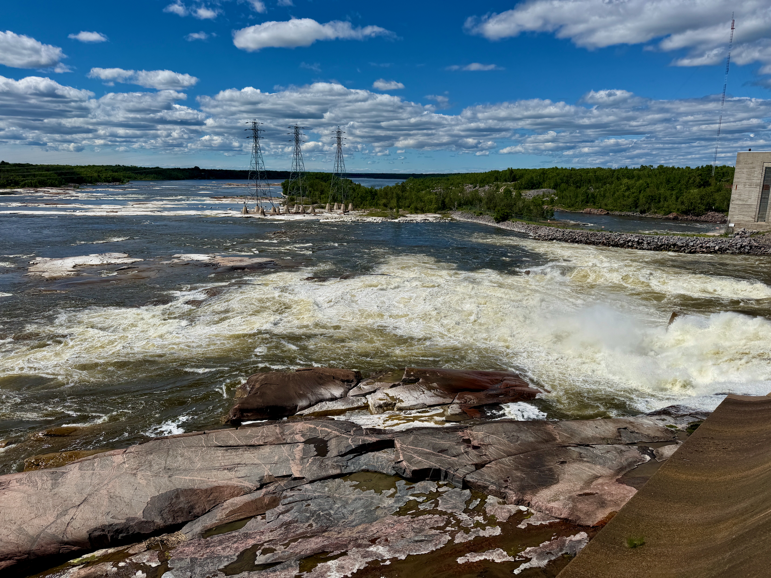
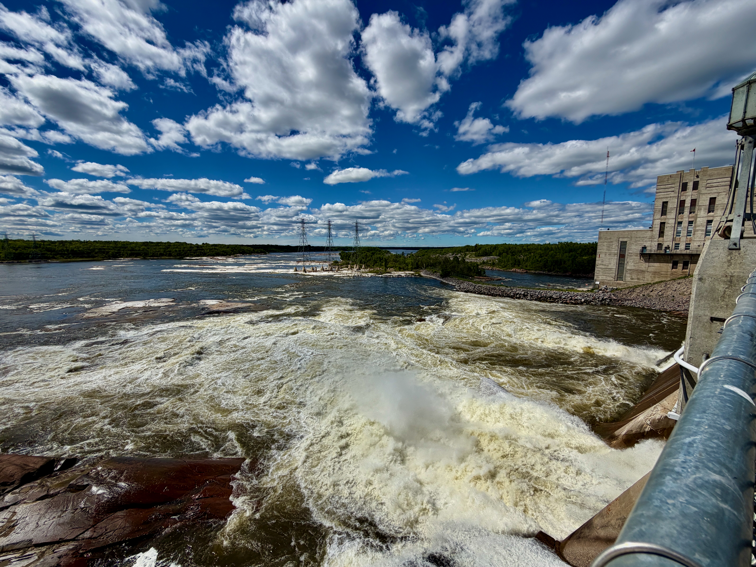
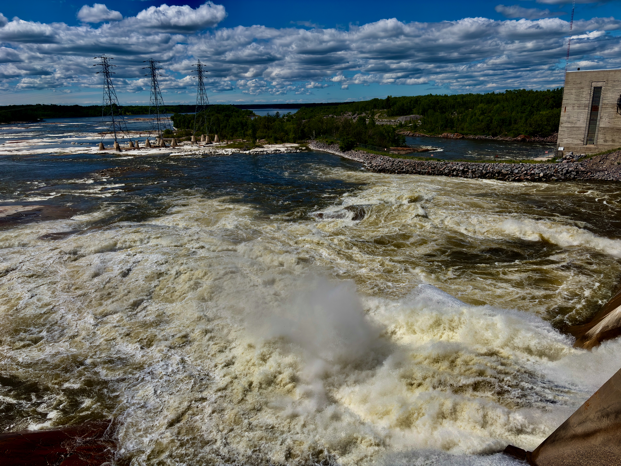
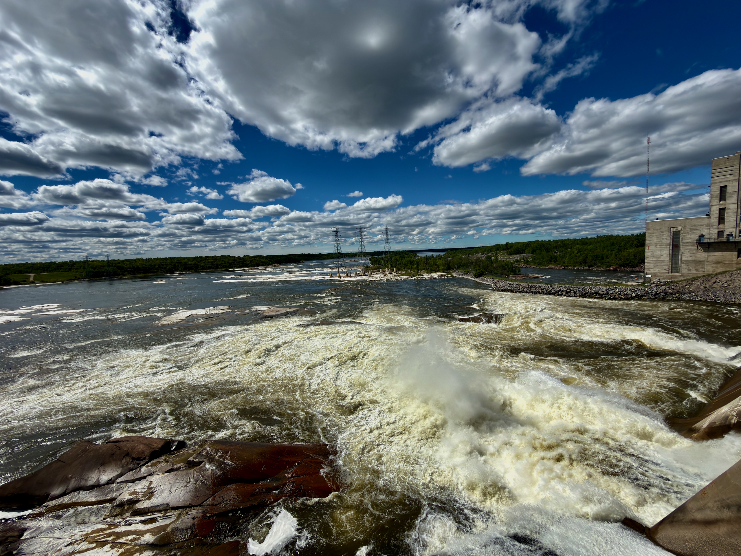
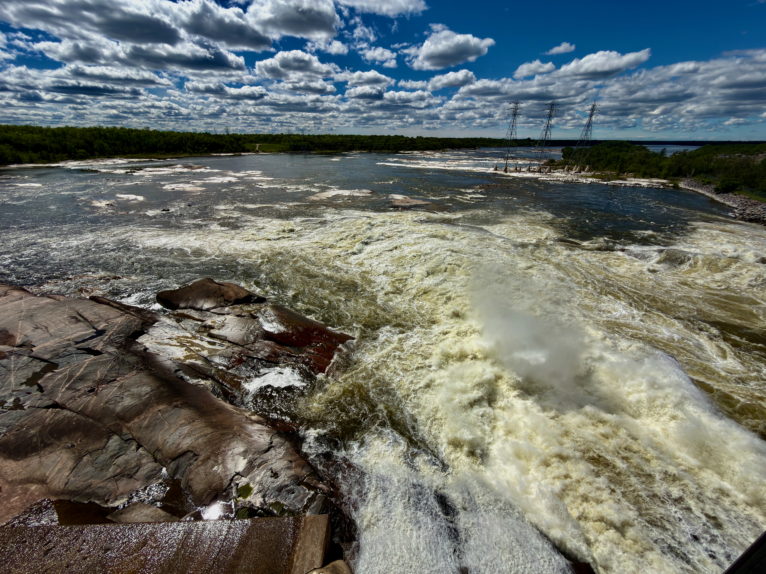
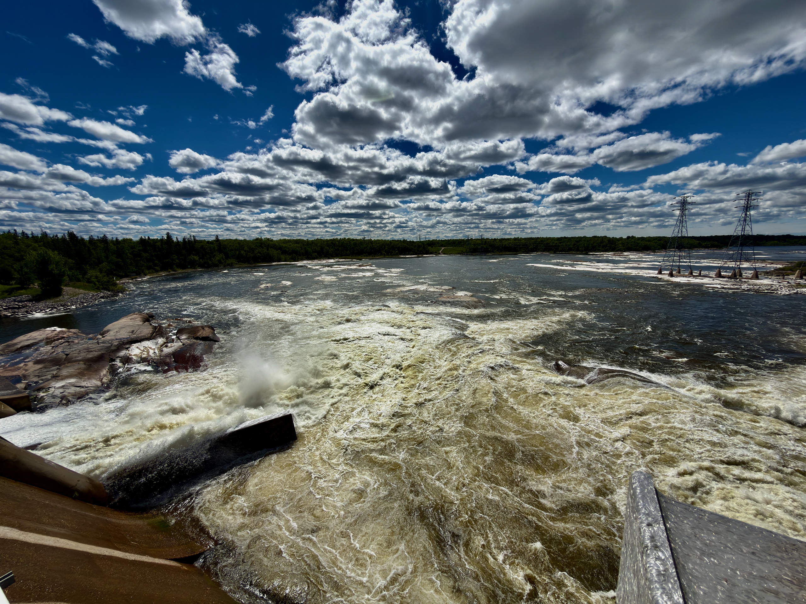
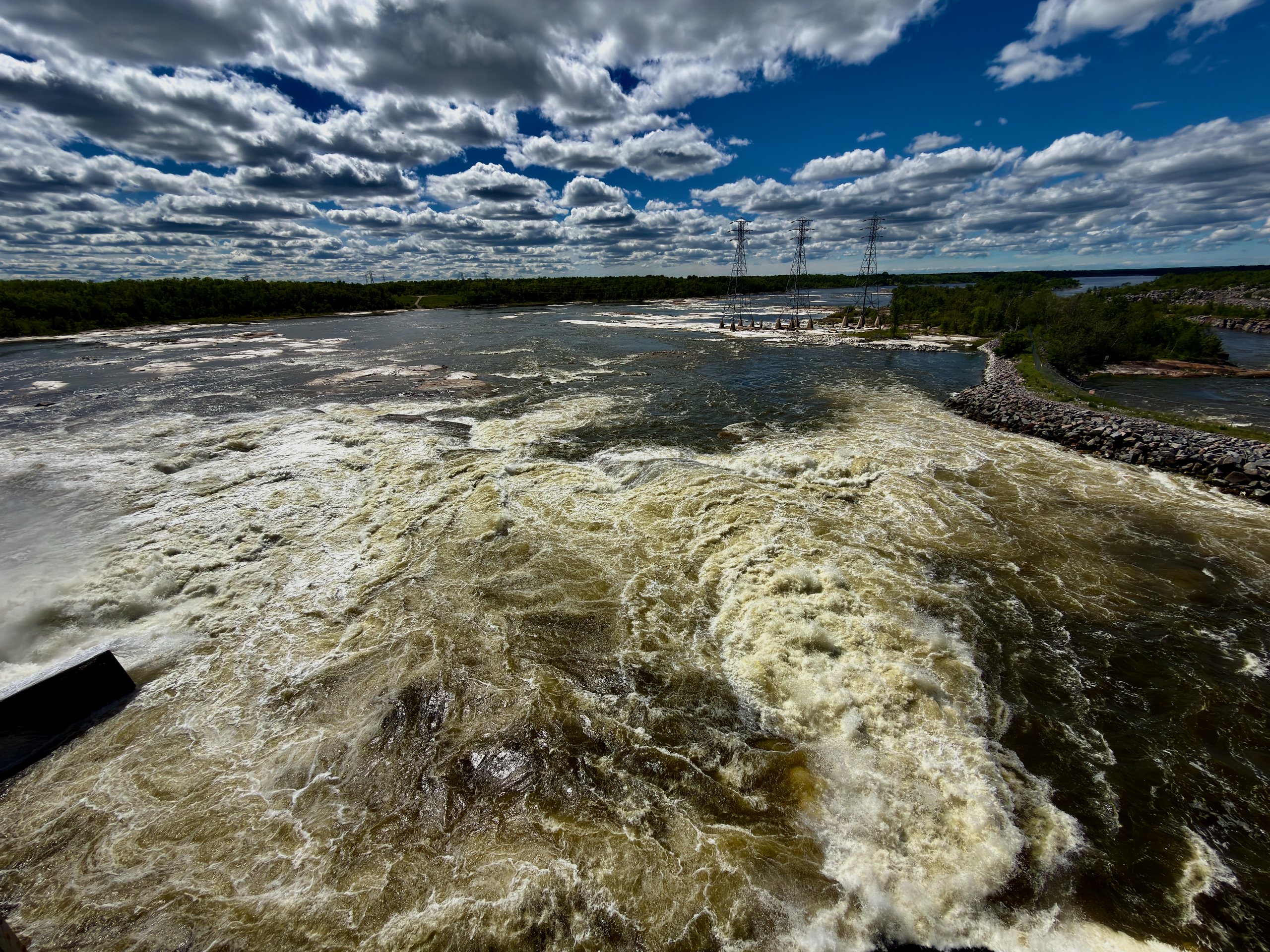
Because the “seven sisters” were seven rapids, consolidated into one hydro structure when the generating station was built starting in 1929. This stretch of the Winnipeg River once held a dangerous 11-km run of whitewater — seven rapids known as the “Seven Portages” since the days of 18th-century voyageurs. When the power station went up, those rapids were effectively merged into a single drop to drive the turbines. So the “falls” didn’t disappear — they became part of the dam.
What is the Seven Sisters Generating Station?
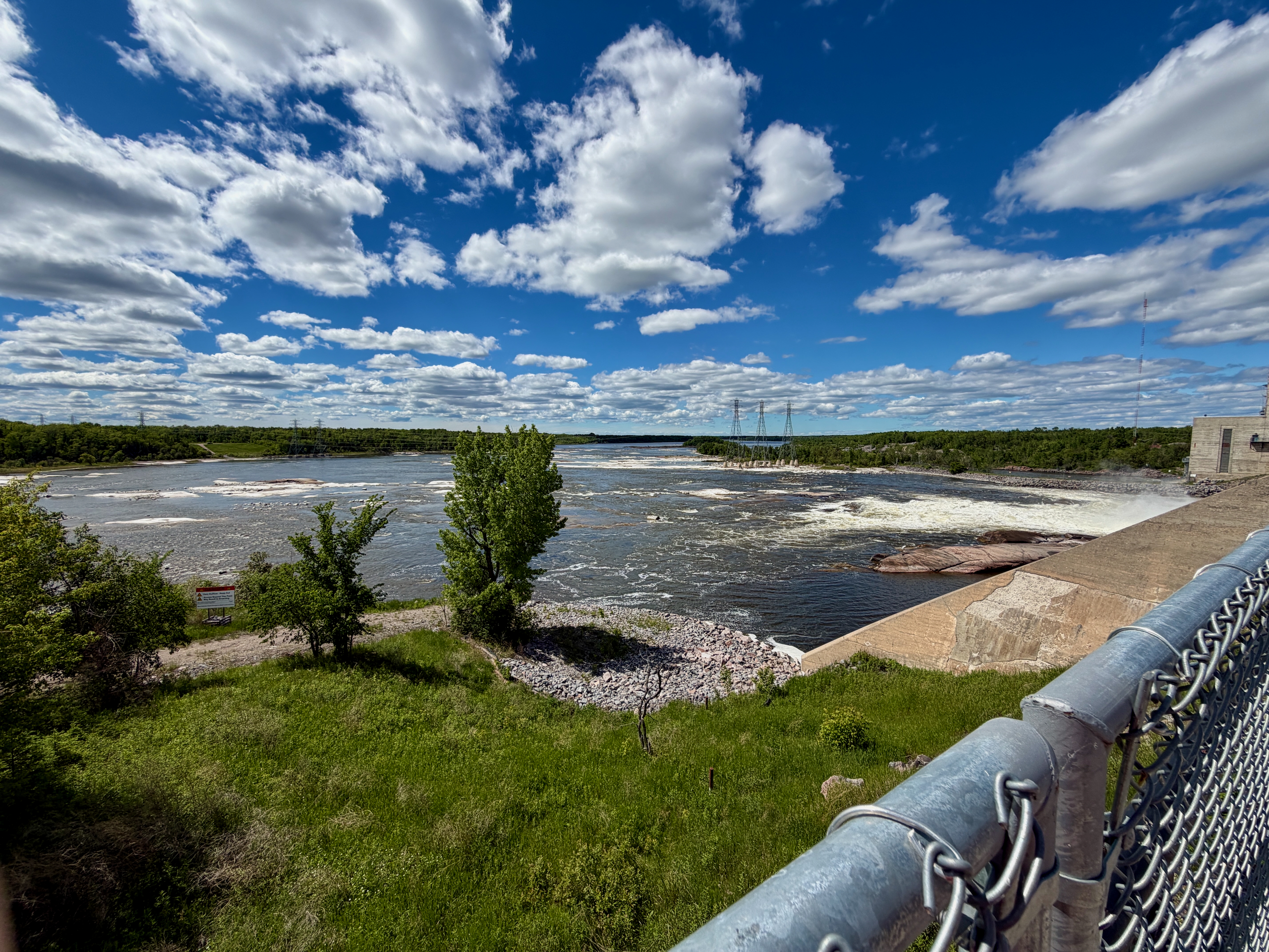
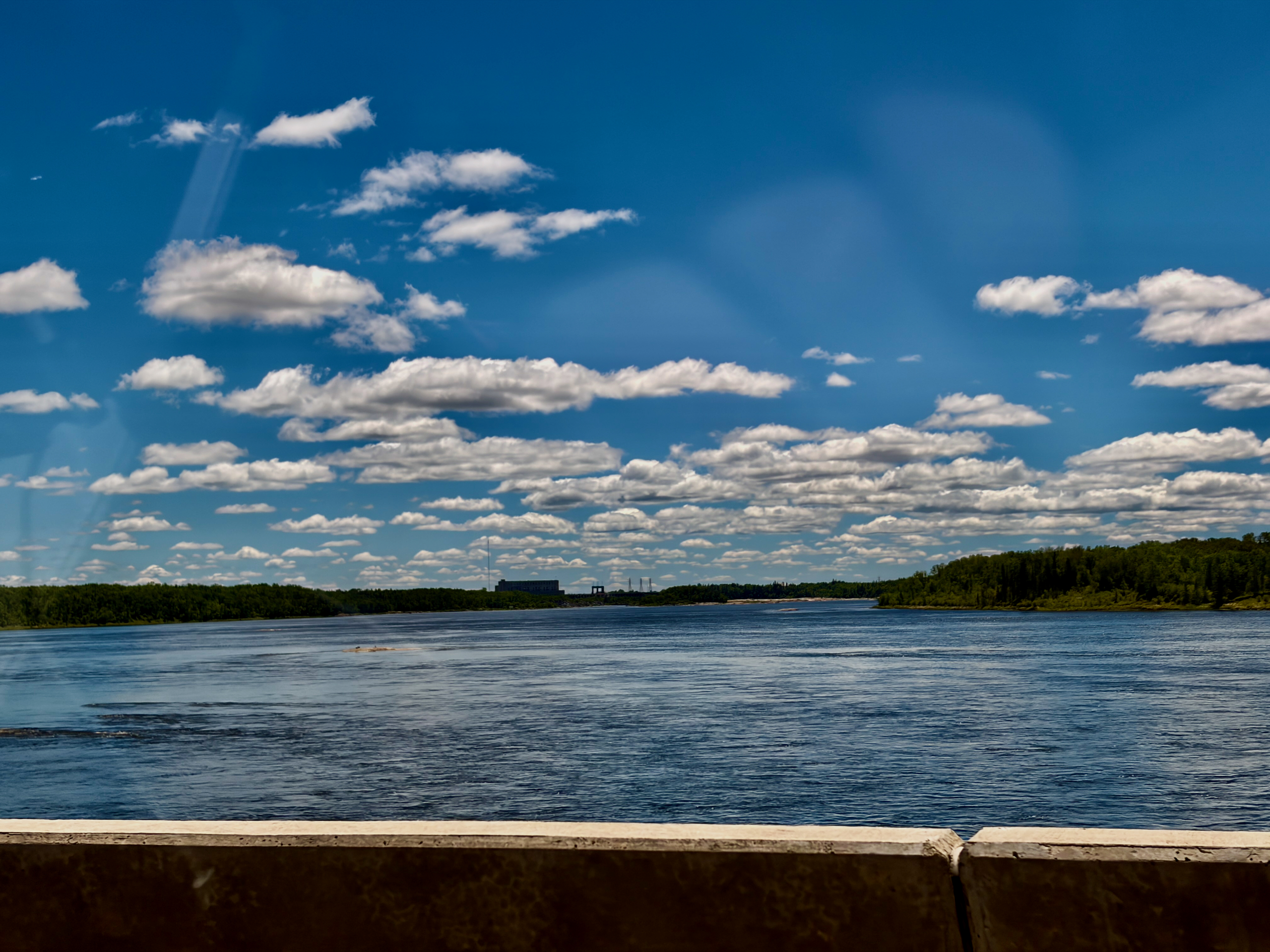
It’s the largest hydroelectric station on the Winnipeg River, built in two stages between 1929 and 1952. The first stage was built by the Winnipeg Electric Company (later part of Manitoba Hydro): the station produced its first power in 1931 with three units totalling 75 MW. The second stage — three more units — was completed in 1952. Today the station runs six units, is rated at roughly 165 MW, and produces about 990 million kWh in a typical year. Its reservoir is called Natalie Lake. From the fence by the station you get a clear view of both the dam and the braided, rapid-strewn river — the very scene we stumbled onto instead of a “waterfall.”
So where can you actually see falling water?
At Whitemouth Falls Provincial Park — you turn off a little earlier, on the town side, along PR 307. That’s the turn we missed and only worked out back home. The park sits at the confluence of the Whitemouth and Winnipeg Rivers, with small falls, viewpoints of the Seven Sisters station, picnic tables and washrooms. A short path leads from the parking lot to the water. This is where the Seven Sisters water still “falls” the way the name makes you picture it.
What’s interesting at Whitemouth Falls besides the falls?
Pelicans, the great gray owl (Manitoba’s provincial bird) and archaeological sites up to 4,800 years old. Established in 1974, the park is known as a staging and nesting area for the great gray owl, and American white pelicans and other waterfowl are often seen near the water. Three archaeological sites by the rapids show the area was used thousands of years ago. Sections of the Trans Canada Trail and the local Seven Sisters community trails also run through here.
Do you need a permit to enter the park?
Yes — Whitemouth Falls is a provincial park, and a vehicle permit is required year-round. Plan for this ahead of time: as of spring 2026, Manitoba’s provincial parks are back to paid permits, so sort out a pass before you go to avoid a fine. Driving into the Seven Sisters community and viewing the station from the fence don’t require a permit — the permit is specifically for the park.
Is it worth pairing Seven Sisters with Pinawa?
Yes — both sit on the same river arc and fold neatly into one day. That’s exactly what we did: a channel walk in Pinawa first, then a stop at the Seven Sisters station on the way home. If you want to add the falls, build in time for Whitemouth Falls and don’t miss the turn off PR 307 — unlike us.
| Detail | Info |
|---|---|
| Location | Seven Sisters Falls, RM of Whitemouth, MB |
| Distance from Winnipeg | ~90 km northeast |
| Station: built | Stage 1 in 1931, stage 2 in 1952; 6 units |
| Station: output | ~165 MW, ~990 million kWh/yr — largest on the Winnipeg River |
| Origin of the name | 7 rapids (“Seven Portages”), merged by the dam |
| Where the falls are | Whitemouth Falls Provincial Park, off PR 307 |
| Wildlife | Pelicans, great gray owl, two-river confluence |
| Permit | Park permit required year-round (for the park) |
Read next: our day in Pinawa and Seven Sisters, the guide to the nearby Pinawa bridge and channel, and another river-engineering spot — Lockport.