


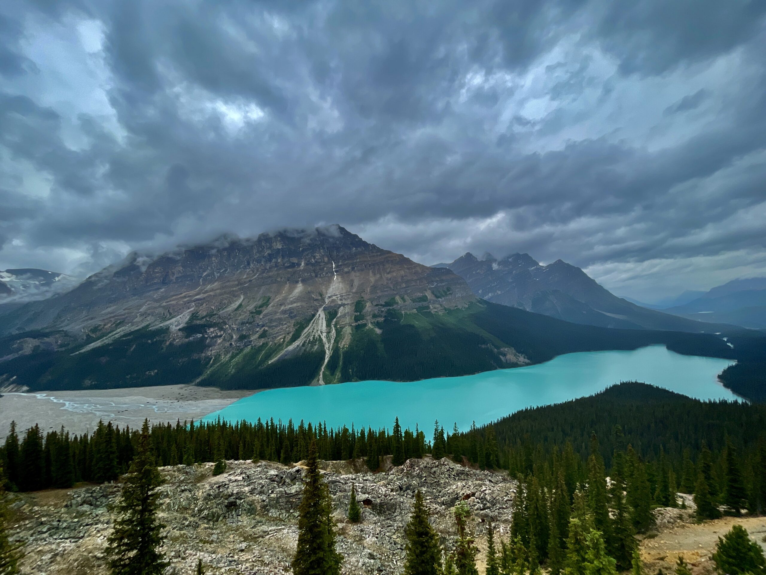
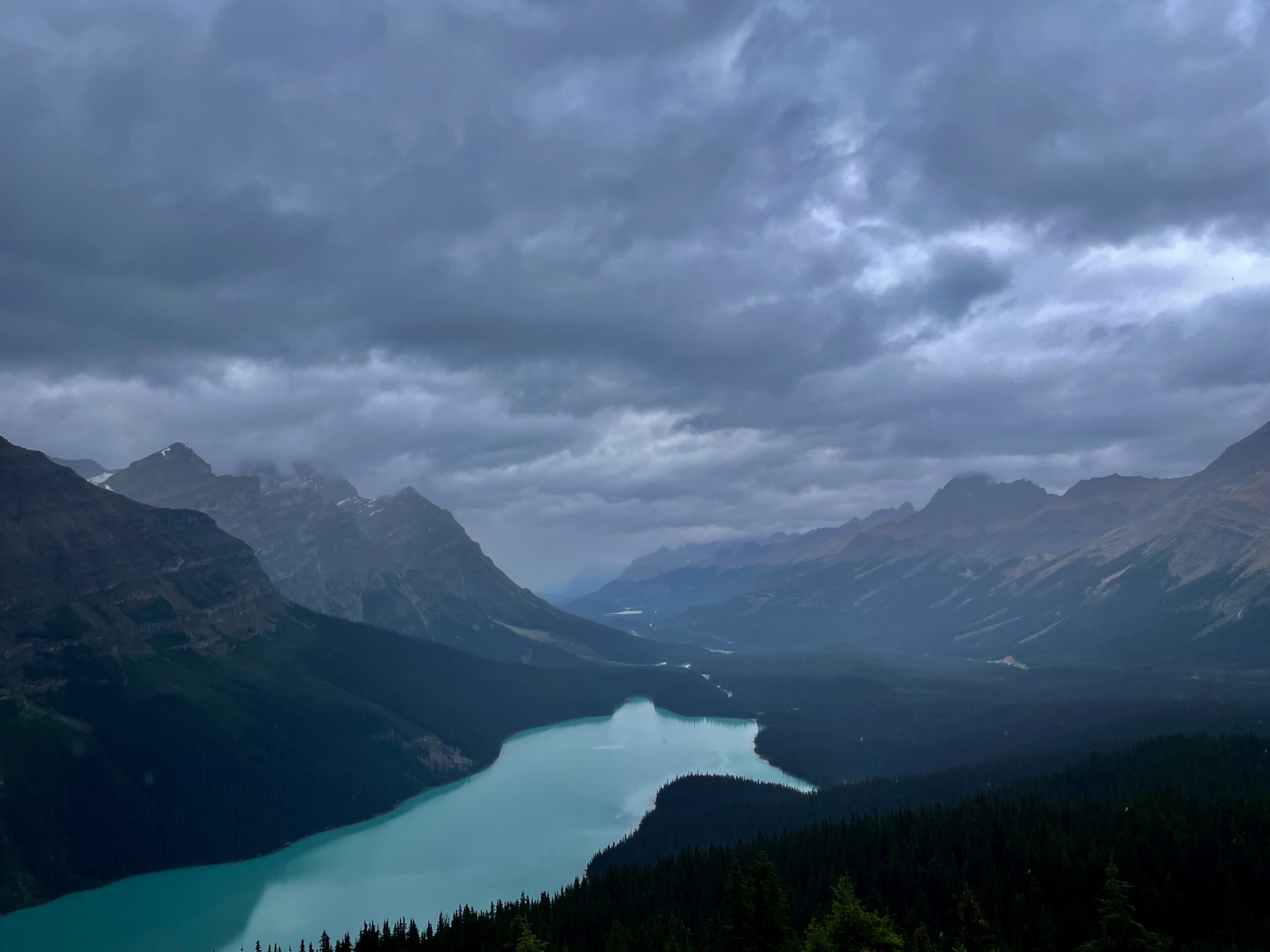
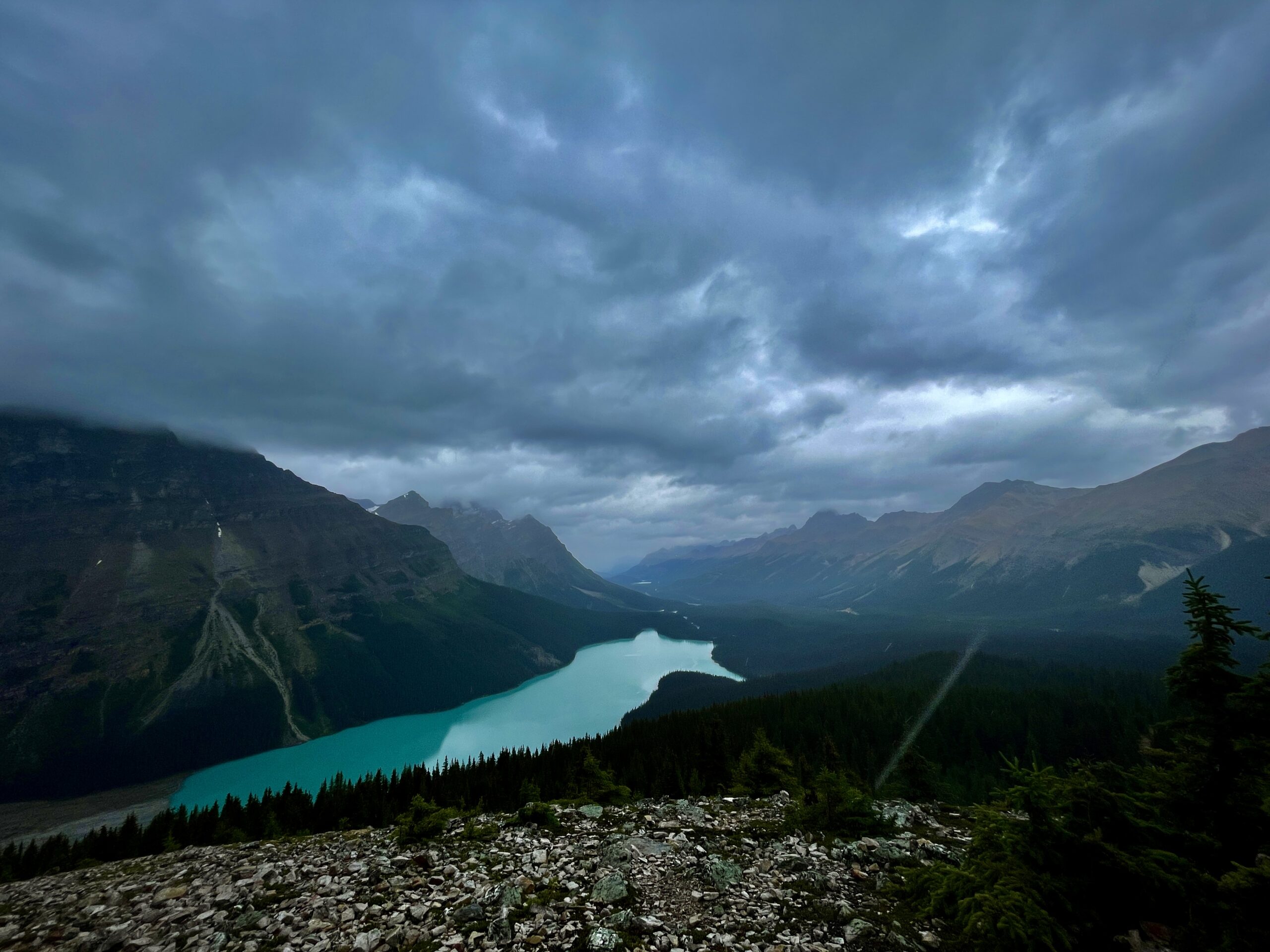
A wolf-head-shaped lake, glacier-blue, from the highest point on the Icefields Parkway.
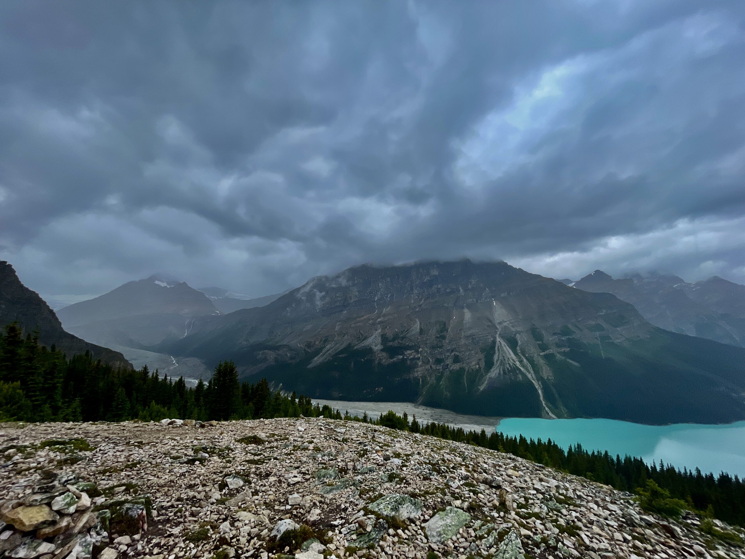
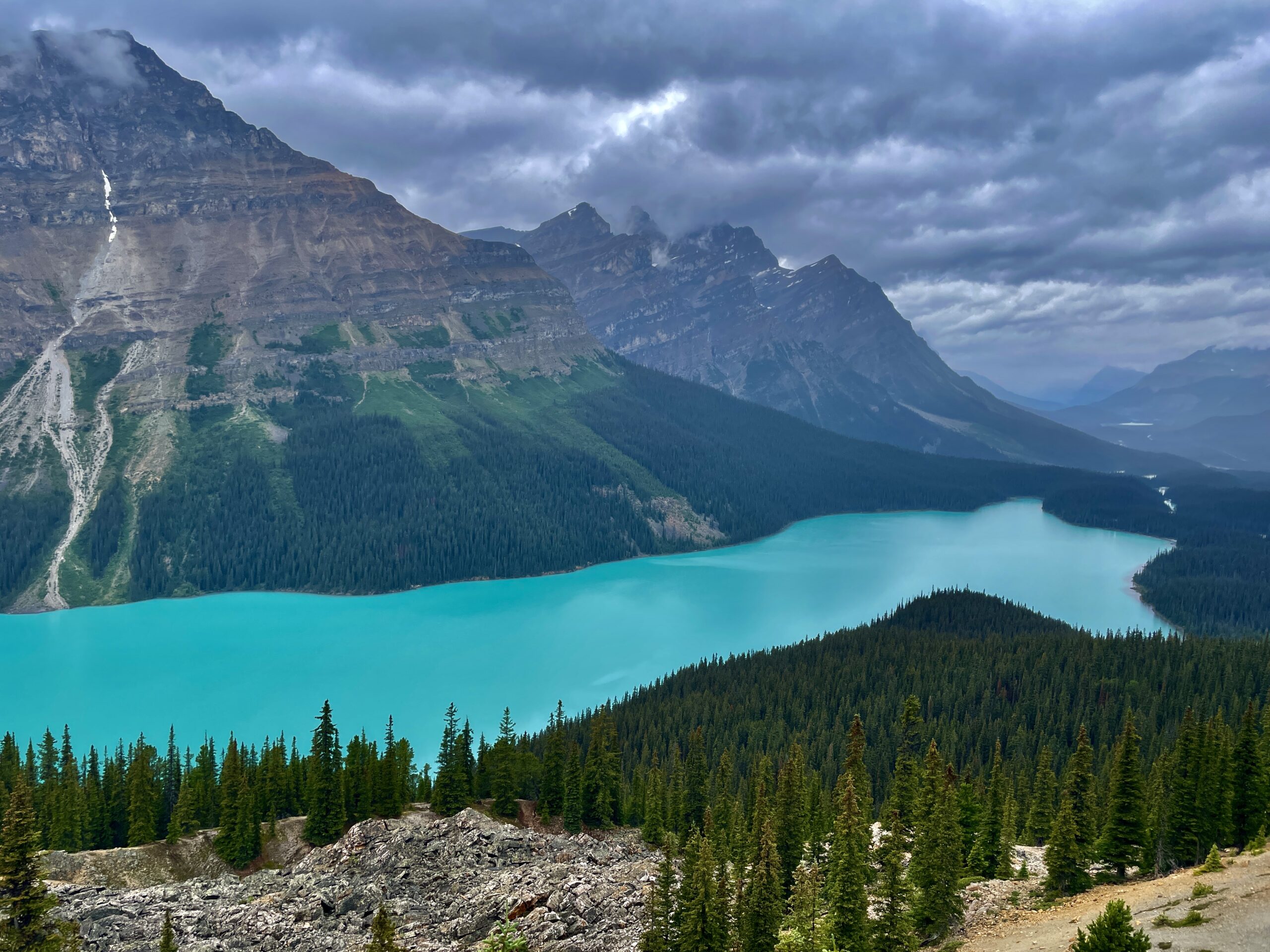
Peyto Lake is one of the most recognizable lakes in the whole of the Rockies, and you’ve almost certainly seen its turquoise in someone’s photo already (and maybe assumed it was “Photoshopped” — it isn’t, it really is that blue). It sits at about 1,860 metres in Banff National Park, roughly 40 km (half an hour’s drive) north of Lake Louise, by Bow Summit — the highest point on the Icefields Parkway. We stopped here on day two of our Winnipeg-to-Banff road trip, and even in the rain it didn’t disappoint.
Who Peyto was (and how to say it)
There’s a real person behind the name, not an abstraction. The lake honours Bill Peyto — and here’s a small detail to show off with: it’s pronounced “PEE-toe,” not “PAY-toe.” Peyto came to Canada in 1887 and became a local legend — a guide, trapper and one of Banff National Park’s early wardens, a genuinely colourful frontier character who liked to retreat into exactly these wild places in the early 1900s. So standing above the lake, it’s nice to know this is more than a “pretty dot on the map” — it’s a place with a name and a character.
Why the water is so impossibly blue
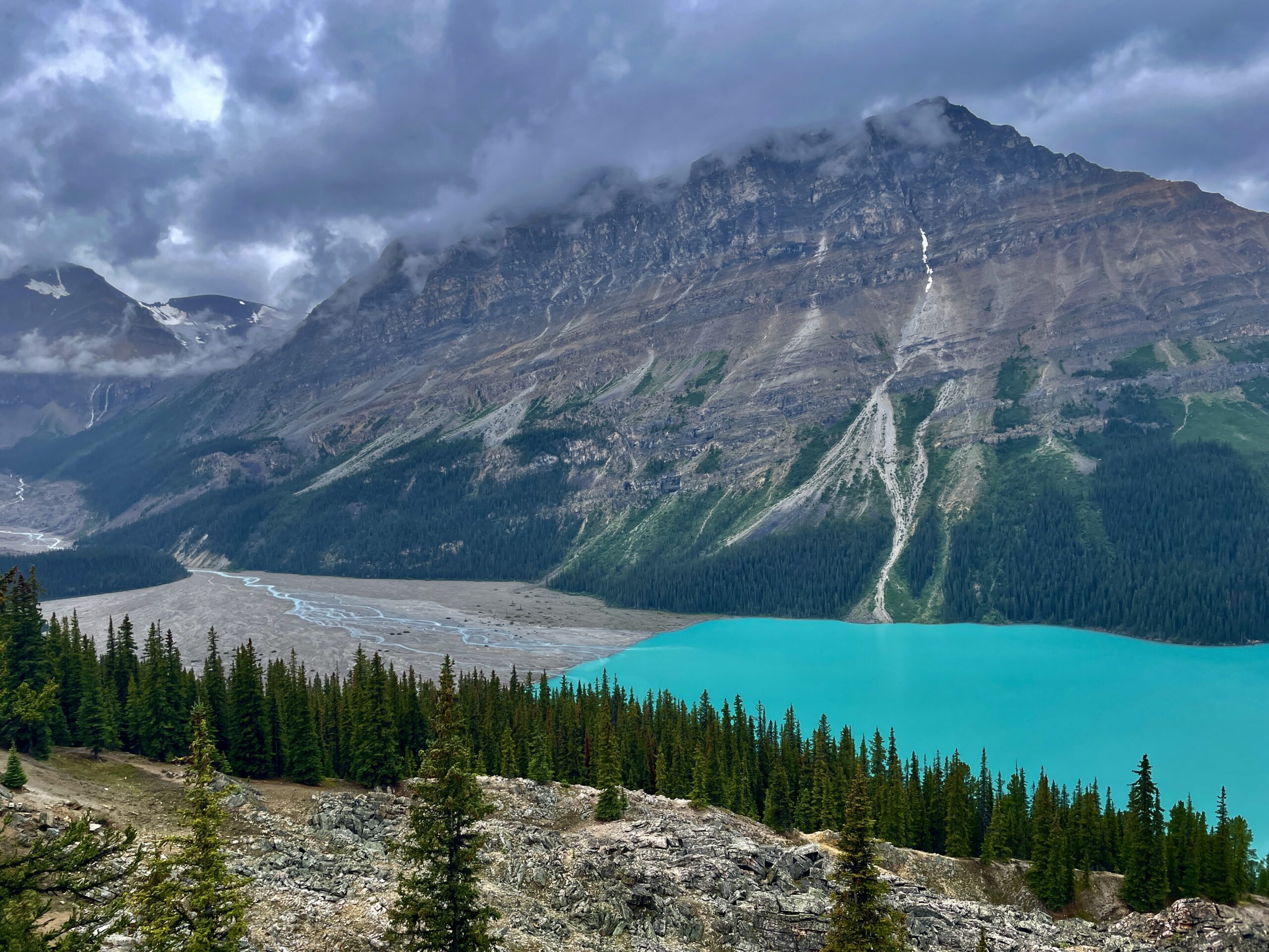
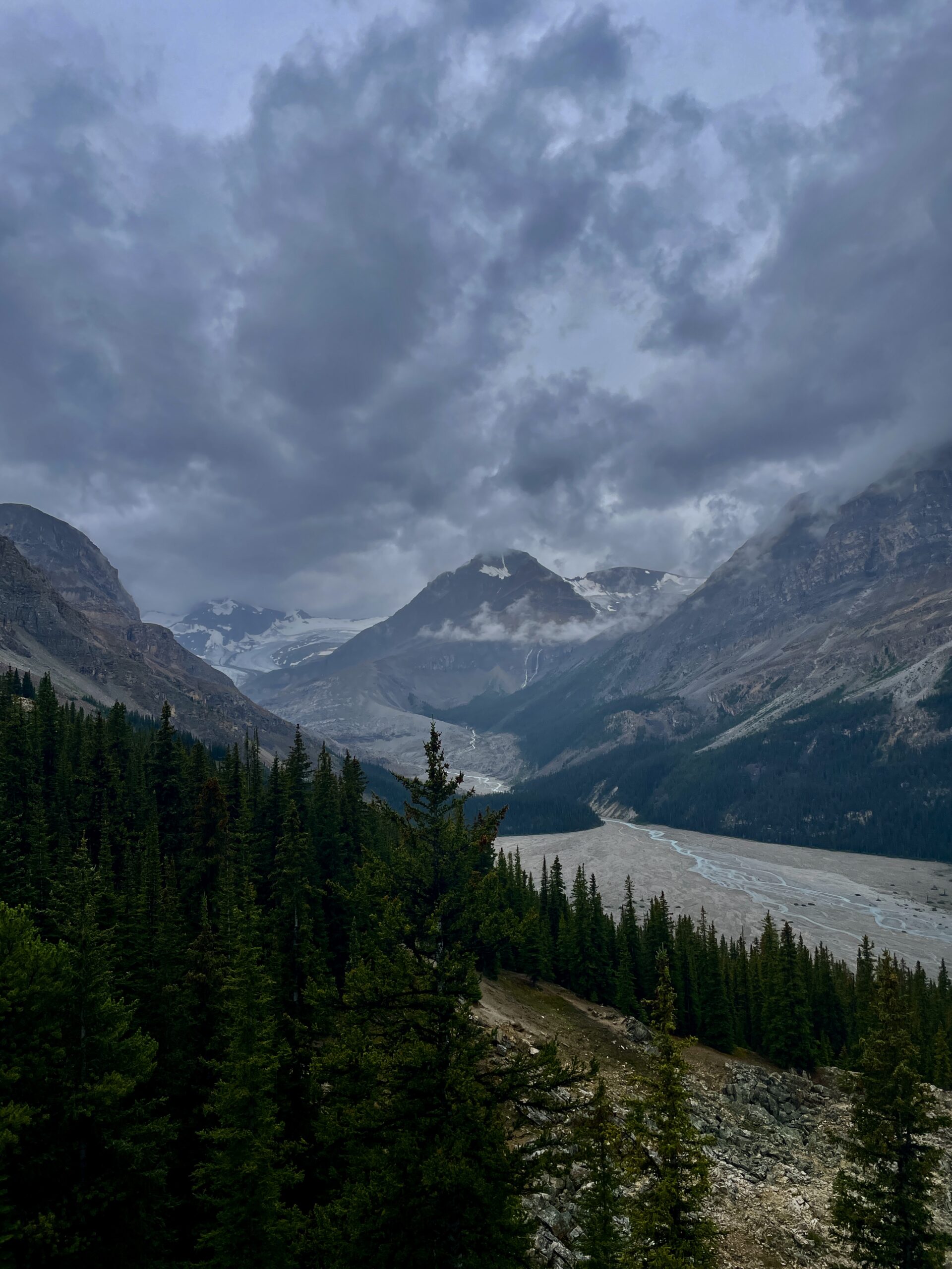
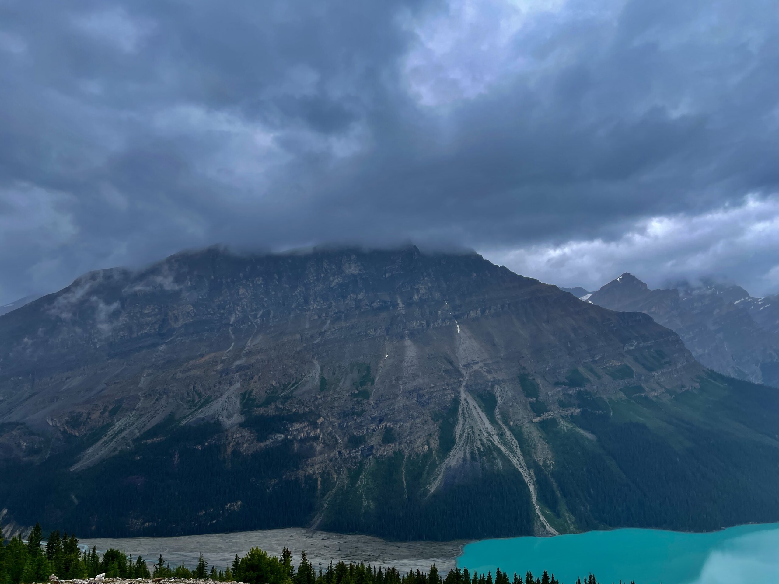
Peyto’s main magic is the colour, and there’s a perfectly scientific reason for it. Above the lake hangs the Peyto Glacier, which each summer grinds rock into the finest powder — “rock flour” made of quartz and calcite particles. Meltwater washes this flour into the lake, where it stays suspended and scatters sunlight in just the way that gives the water its glowing turquoise. The practical takeaway: the colour is brightest from late June to early September, at peak glacial melt. In late autumn and winter, once the melt stops, the blue fades.
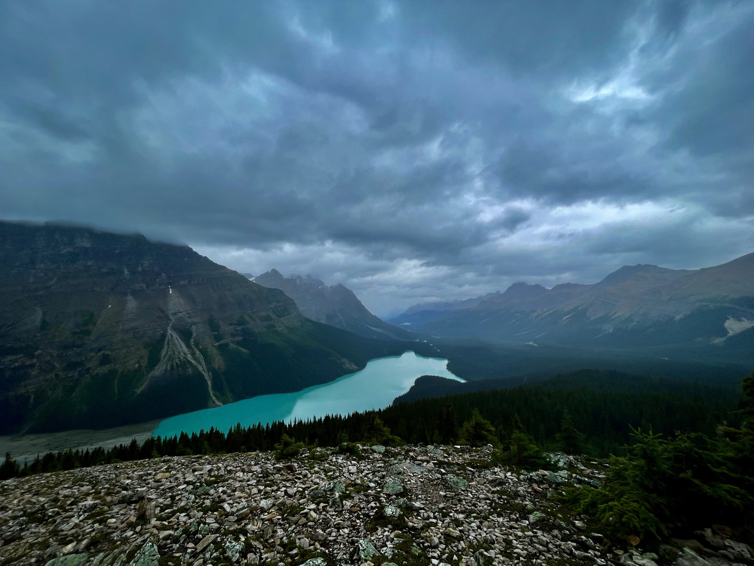
And from above, the lake is shaped like a wolf’s head — which is sometimes what people call it, Wolf Head Lake (some see a coyote, but the effect is the same).
One more thing makes Peyto special: unlike Lake Louise or Moraine, you look down on it from above, from a platform roughly 240 metres over the water — so the whole lake lies before you as if in the palm of your hand, with the Mistaya Valley and its chain of peaks stretching into the distance beyond. Many people consider Peyto the single bluest lake in all the Rockies, and honestly, it’s hard to argue.
Viewpoints: from easy to “secret”
There’s a choice here depending on your energy and time:
- The main platform (Bow Summit Lookout). The simplest option: a short (about 0.7 km one way, ~15 minutes) paved path from the parking lot through subalpine forest. It climbs, but it’s wheelchair- and stroller-accessible; a few years ago Parks Canada rebuilt the platforms and boardwalks to protect the fragile alpine environment. This is where you get that classic “postcard” wolf head.
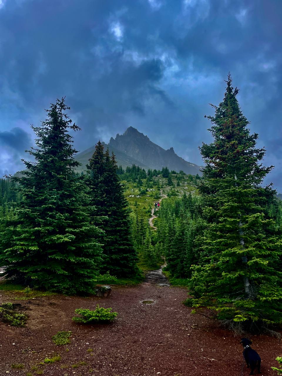
- The upper viewpoint (Bow Summit). If you have the legs, don’t stop at the platform — carry on up an old fire road to Bow Summit itself (2,070 m). It’s about 6 km round trip with ~250–300 m of gain; the trail breaks above the treeline, and the top gives an even wider panorama over both Peyto and Bow Lake. Far fewer people up here — but plenty of marmots, pikas and red squirrels, and in early summer the slopes fill with alpine wildflowers.
- The “secret” rocky viewpoint. There’s a second viewpoint on a rock outcrop that hasn’t been signposted for years, so few people know it. It’s easy to reach: from the main platform keep going along the paved trail south (not downhill to the shore!), and within a few minutes it opens onto bare rock with arguably the best shot of the lake — and almost no crowd.
Our experience
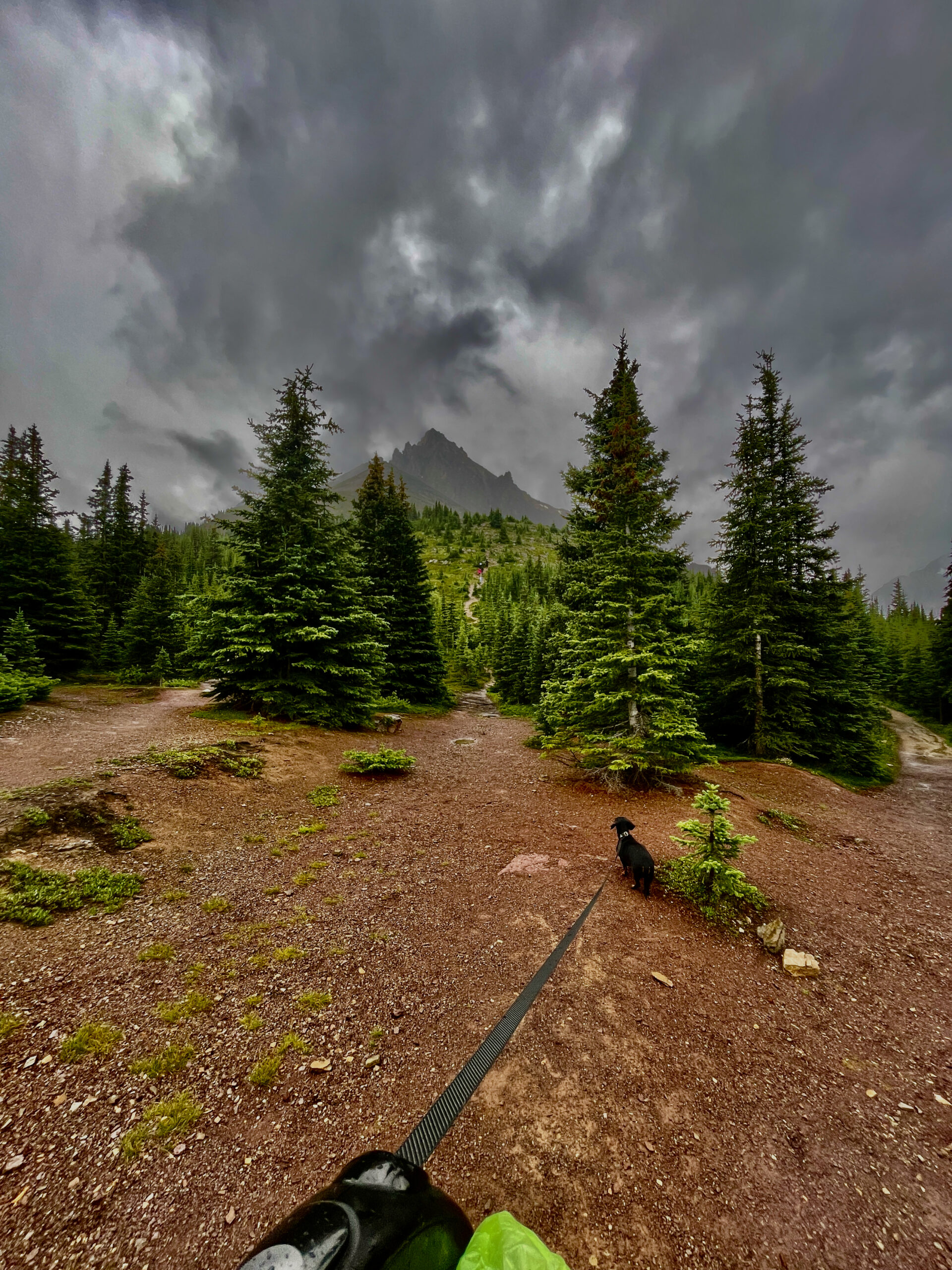
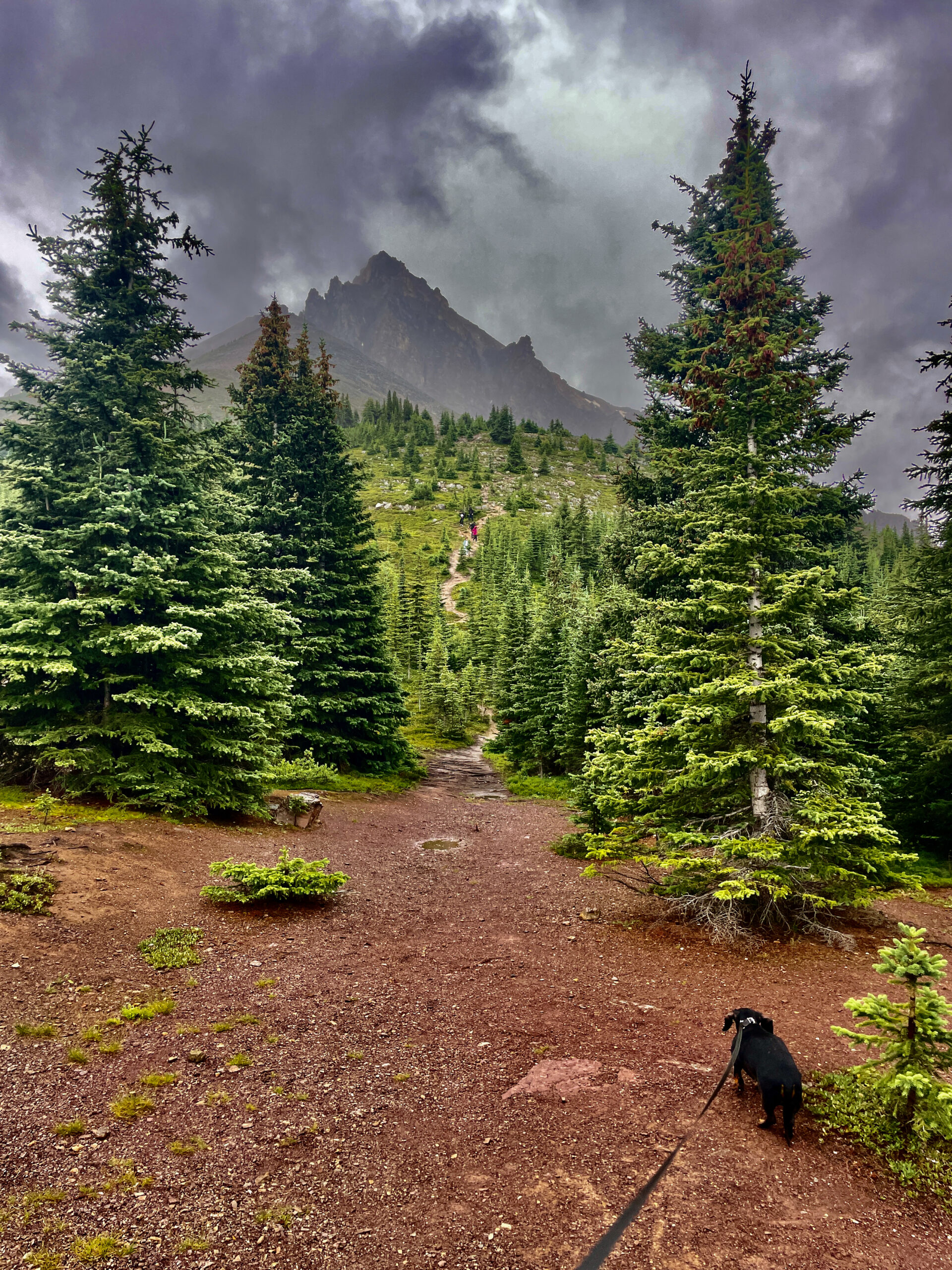
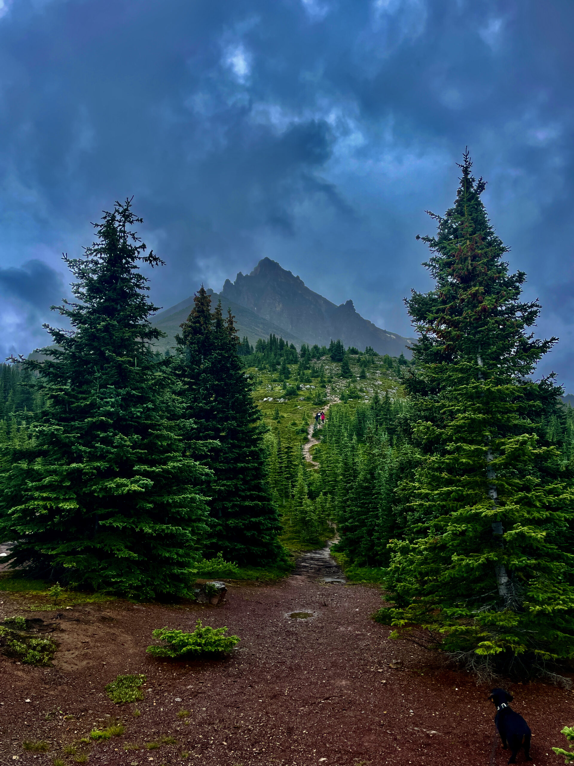
We did exactly what we’re recommending: took in the classic view, then headed up. A drizzle set in, and the last stretch became a climb over wet rock, so we took turns: one of us stays below with Nika the dachshund, the other goes up. My wife went up first, then me; while I was at the top, she and Nika made their way slowly down to the car, and I caught up with them at the bottom. Honestly: the climb is worth it. From above, the lake opens up completely differently, and the sense of space is such that for a few minutes you forget both the rain and your wet feet.
What to do here
Beyond the main event — standing above the lake and getting your shot — there’s an easy family-friendly trail to the platform, a longer Bow Summit walk for the more active, and superb photography (the classic angle is from the left of the platform, and a polarizing filter deepens the turquoise). In autumn the surroundings turn gold with larches, and in winter well-equipped skiers head into the Bow Summit and Observation Peak area for backcountry touring. One place, several very different ways to enjoy it.
Practical tips
- Crowds. This is one of the busiest stops on the Parkway, especially between 10 a.m. and 3 p.m. Come at sunrise or in the evening and on a weekday: at sunrise the water is also mirror-still and almost empty.
- Parking. There are two lots — the lower (main) and the upper (closer and more accessible); they fill up in summer, so don’t leave it until midday.
- Facilities. There are only toilets by the parking lot; no café or shops — the nearest food is in Lake Louise (~40 min). Bring water and snacks, and pack out your trash.
- Entry. There’s no separate fee for the lake — just a park pass (in summer the Canada Strong Pass covers it).
- Signal. There’s none on the Parkway — download offline maps ahead.
- Dogs. Allowed, on leash.
- Footwear and clothing. The mountains are cool and changeable: a warm layer and a rain jacket. Outside peak season the trail can have snow and ice — then you’ll want spikes or crampons.
When to go
For the brightest colour, late June to early September. For the best light for photos, golden hour early morning or evening (in summer the sun sets here after ten). And if you want quiet, a weekday morning outside the midday peak.
| Detail | Info |
|---|---|
| Where | Bow Summit, Icefields Parkway, ~40 km north of Lake Louise |
| Elevation | Lake ~1,860 m; Bow Summit 2,070 m (highest point on the road) |
| Colour | Peyto Glacier + rock flour; brightest late June–September |
| Shape | Resembles a wolf’s head |
| Viewpoints | Main platform (~0.7 km, accessible), Bow Summit (~6 km), “secret” rock |
| Facilities | Toilets by the lot; no food (nearest in Lake Louise) |
| Dogs | Allowed, on leash |
| Season | Late June–September; winter with spikes |
Read next: nearby Bow Lake, the Icefields Parkway itself and the whole Winnipeg-to-Banff road trip.