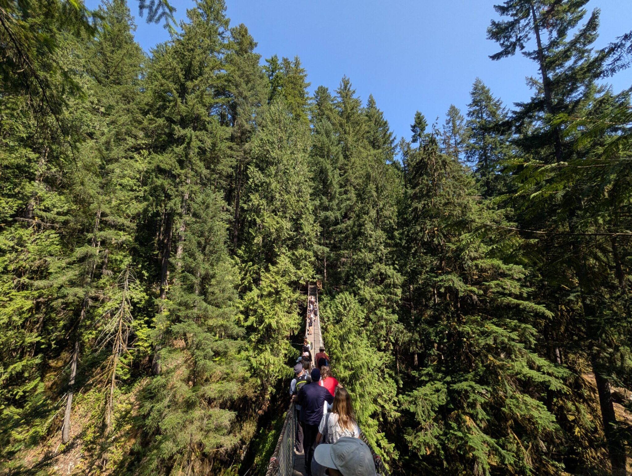



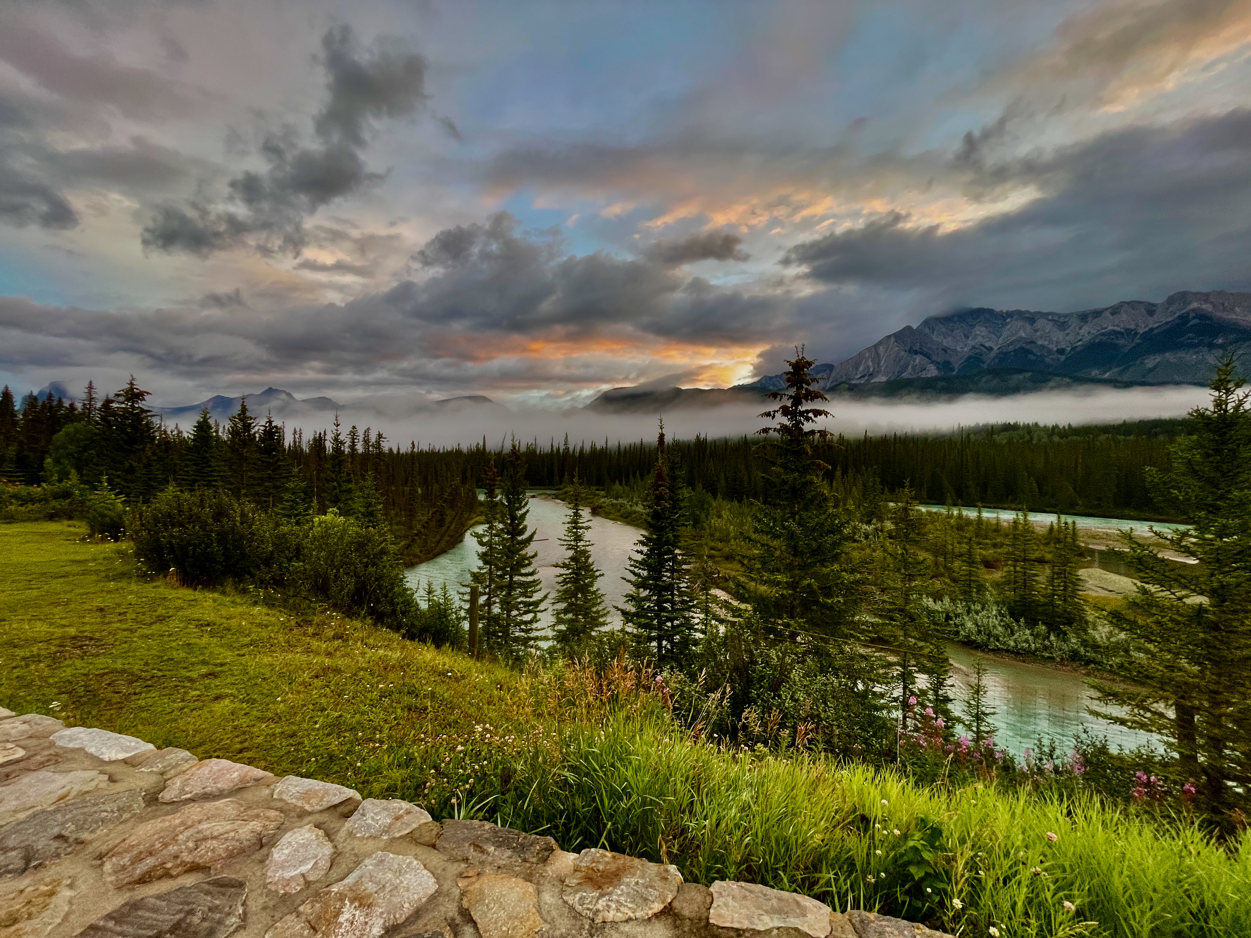
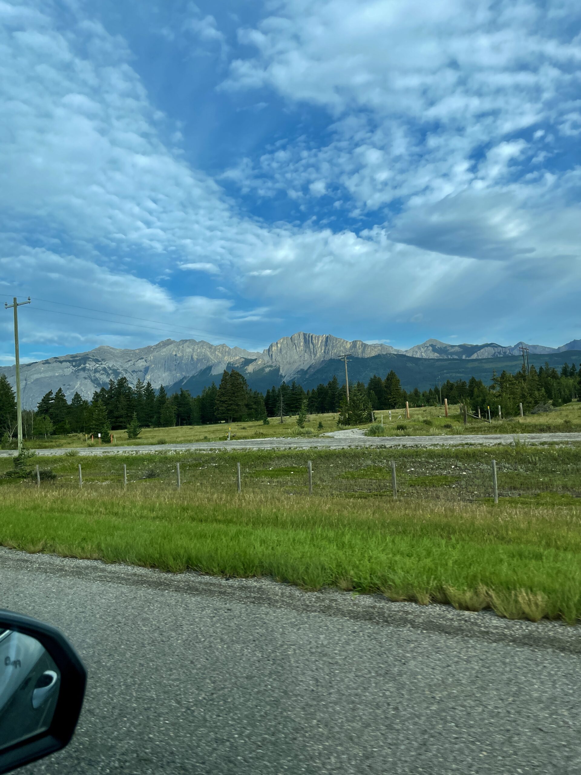
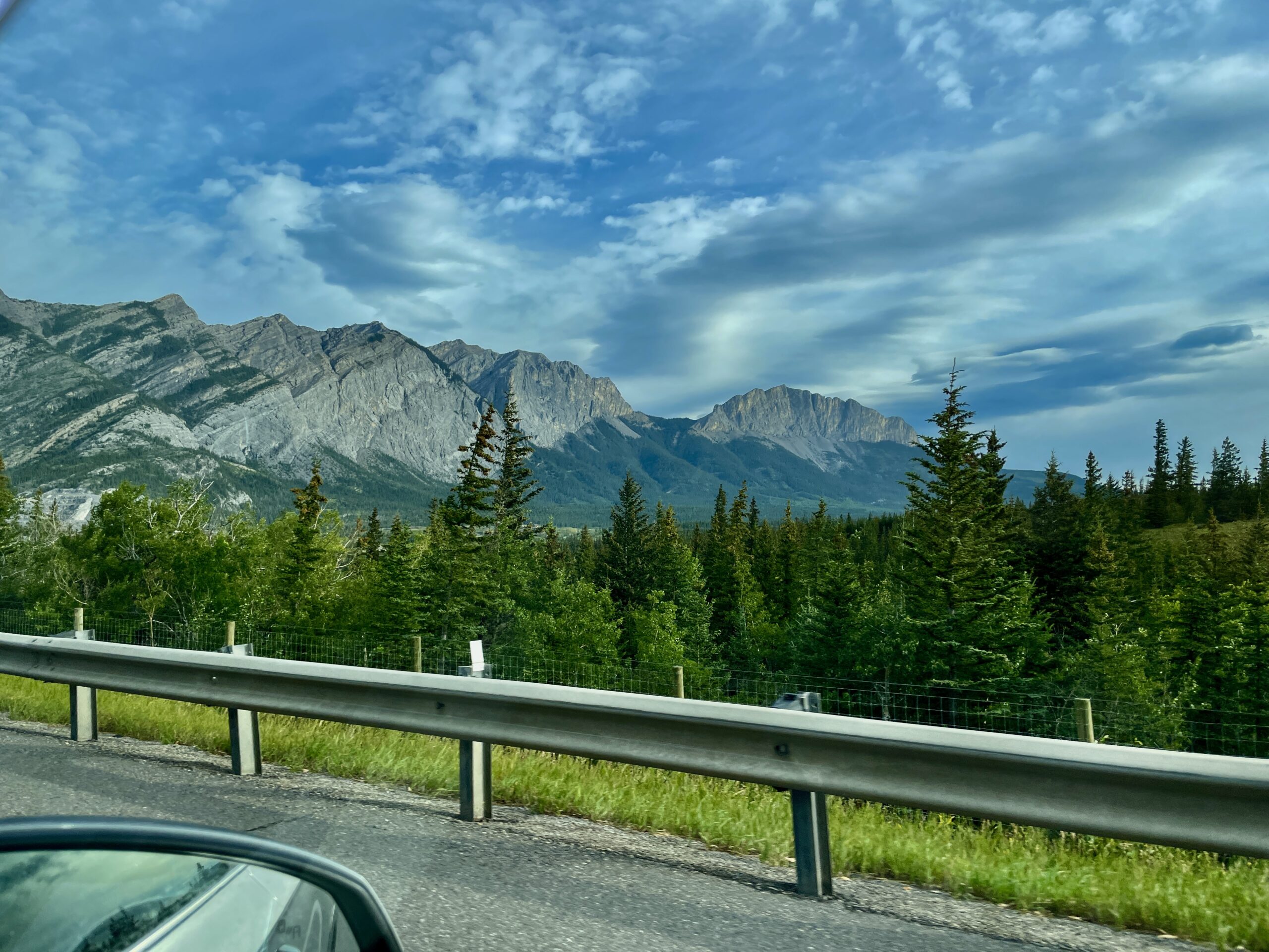
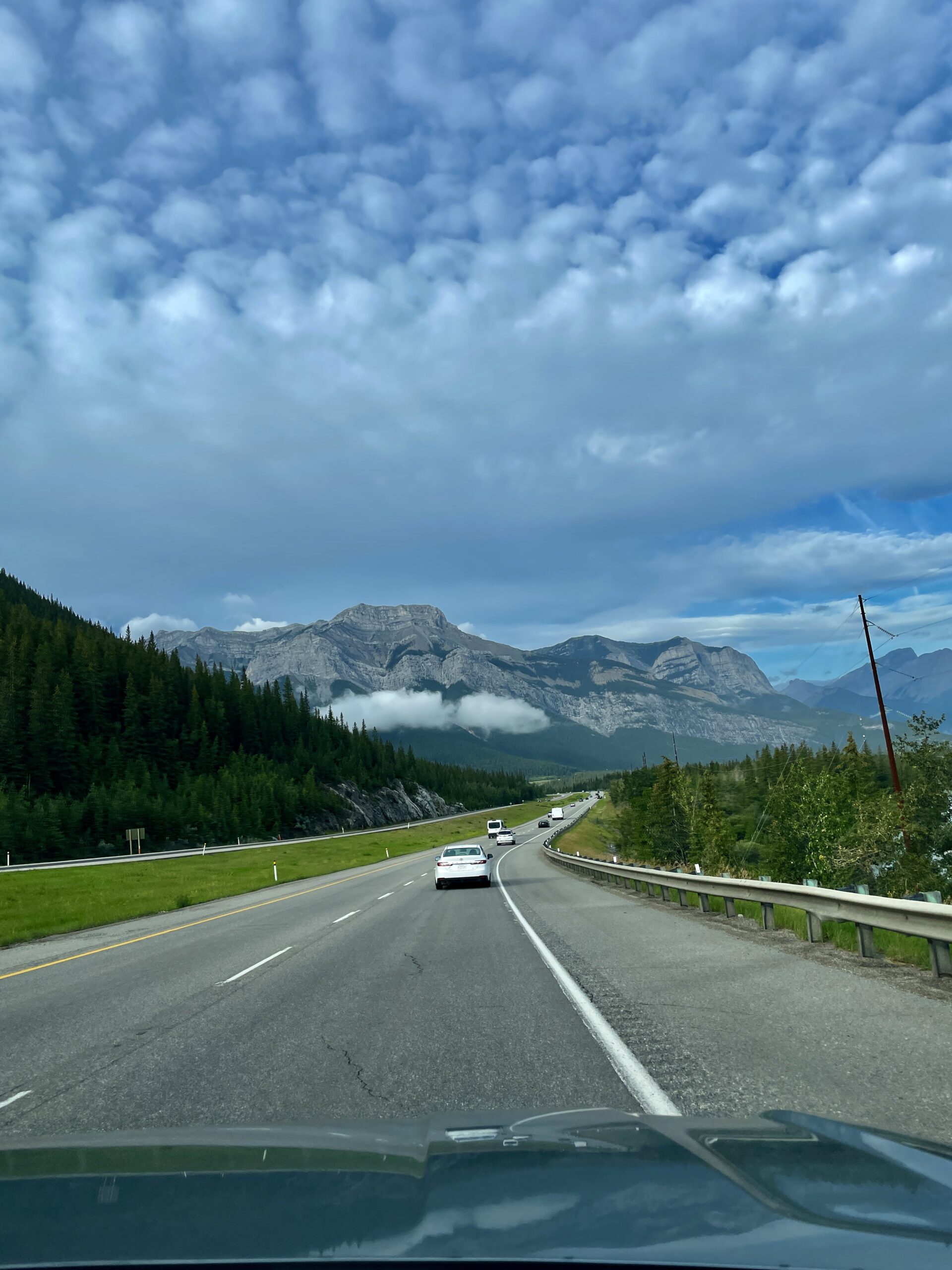
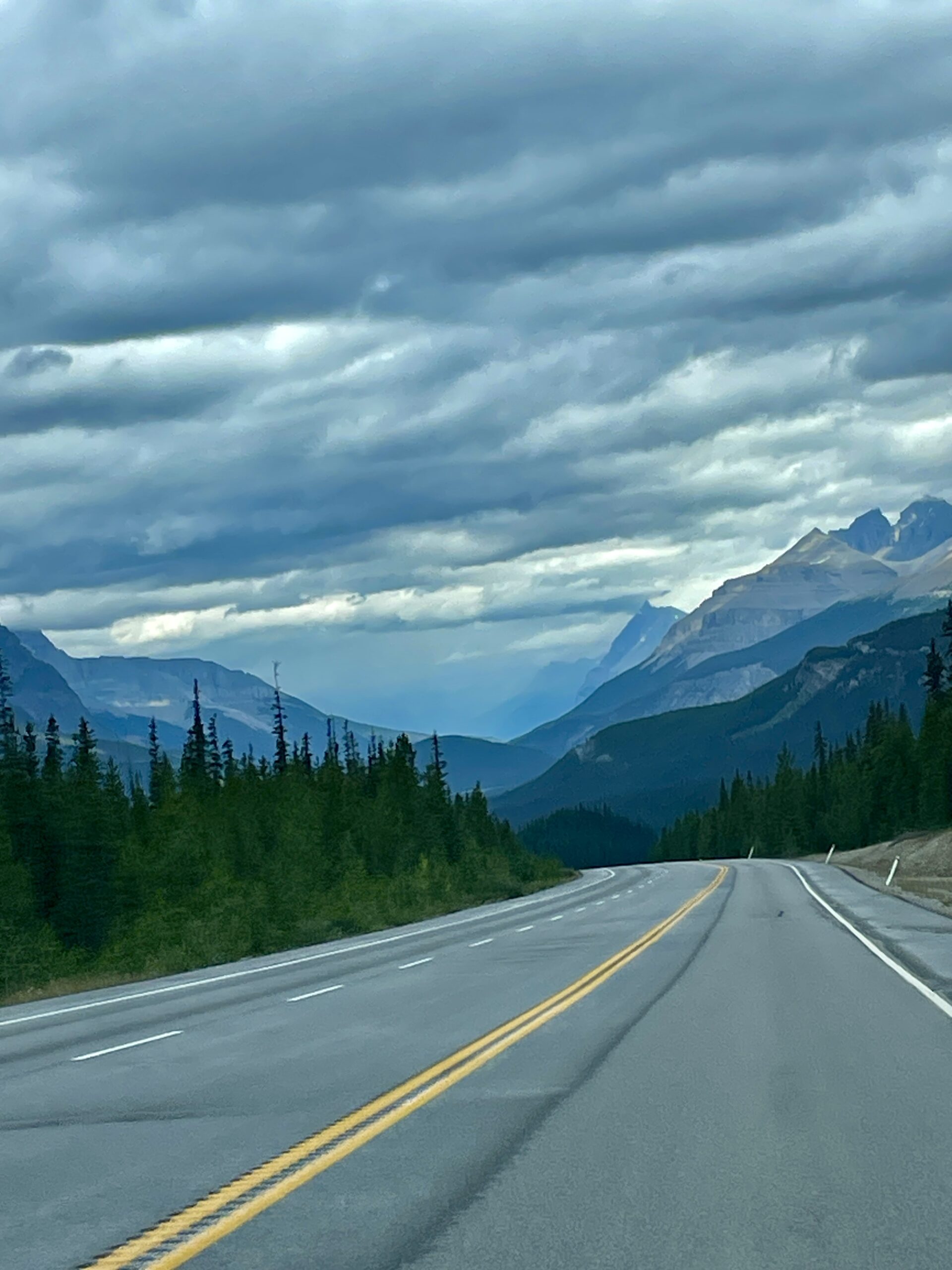
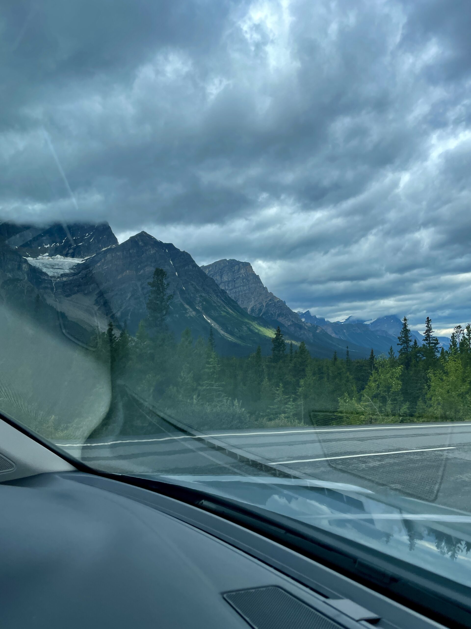
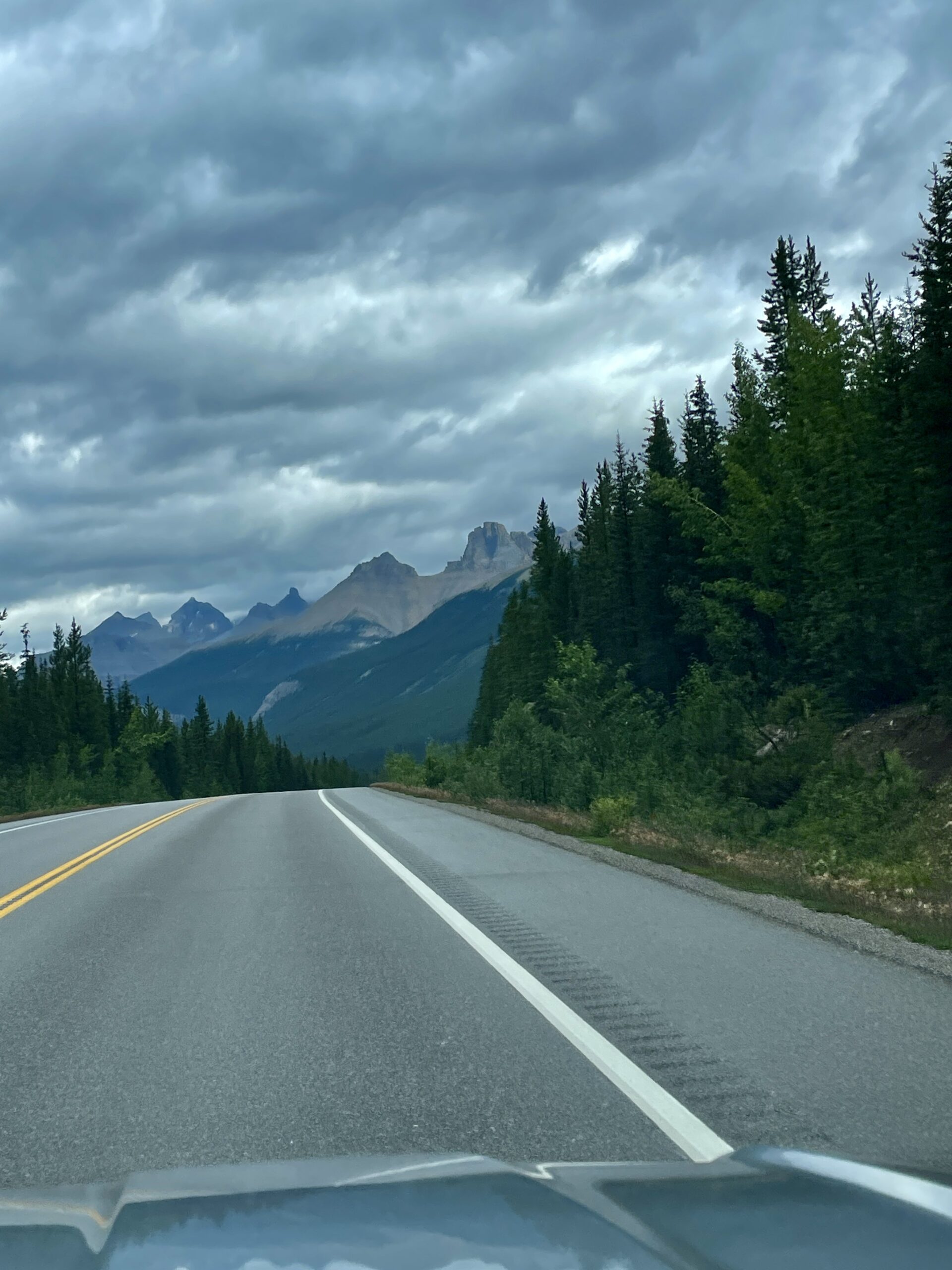
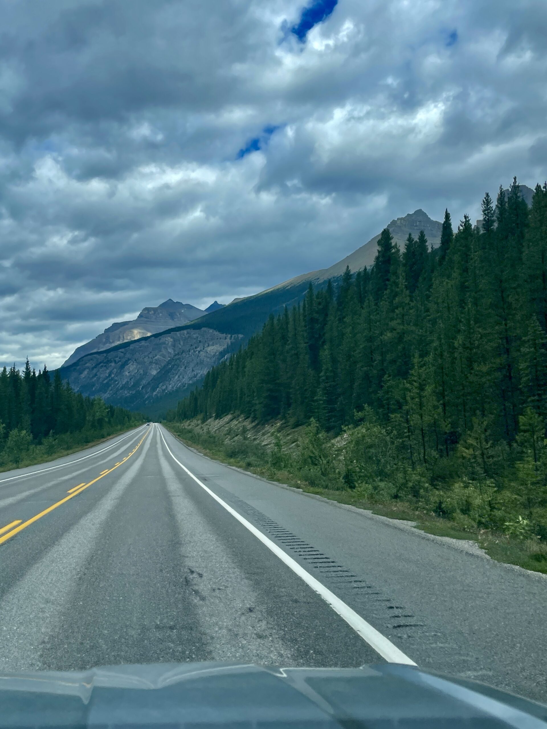
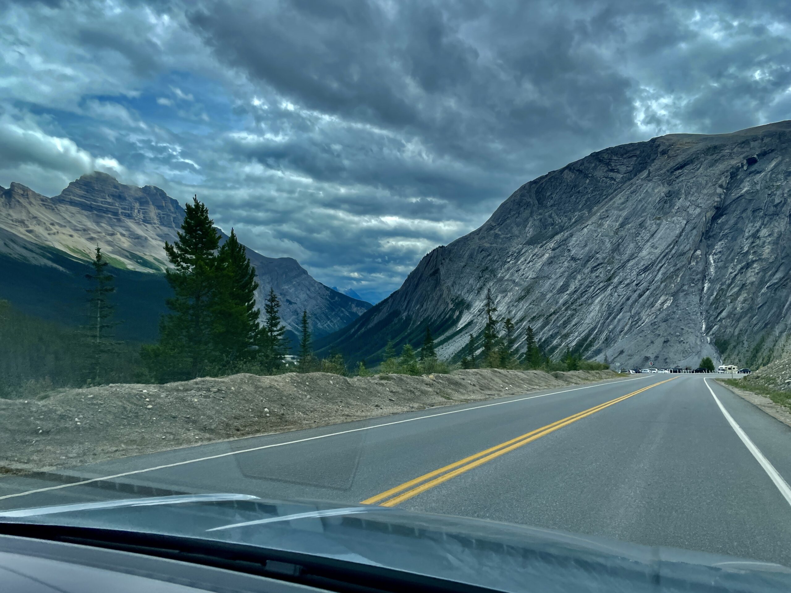
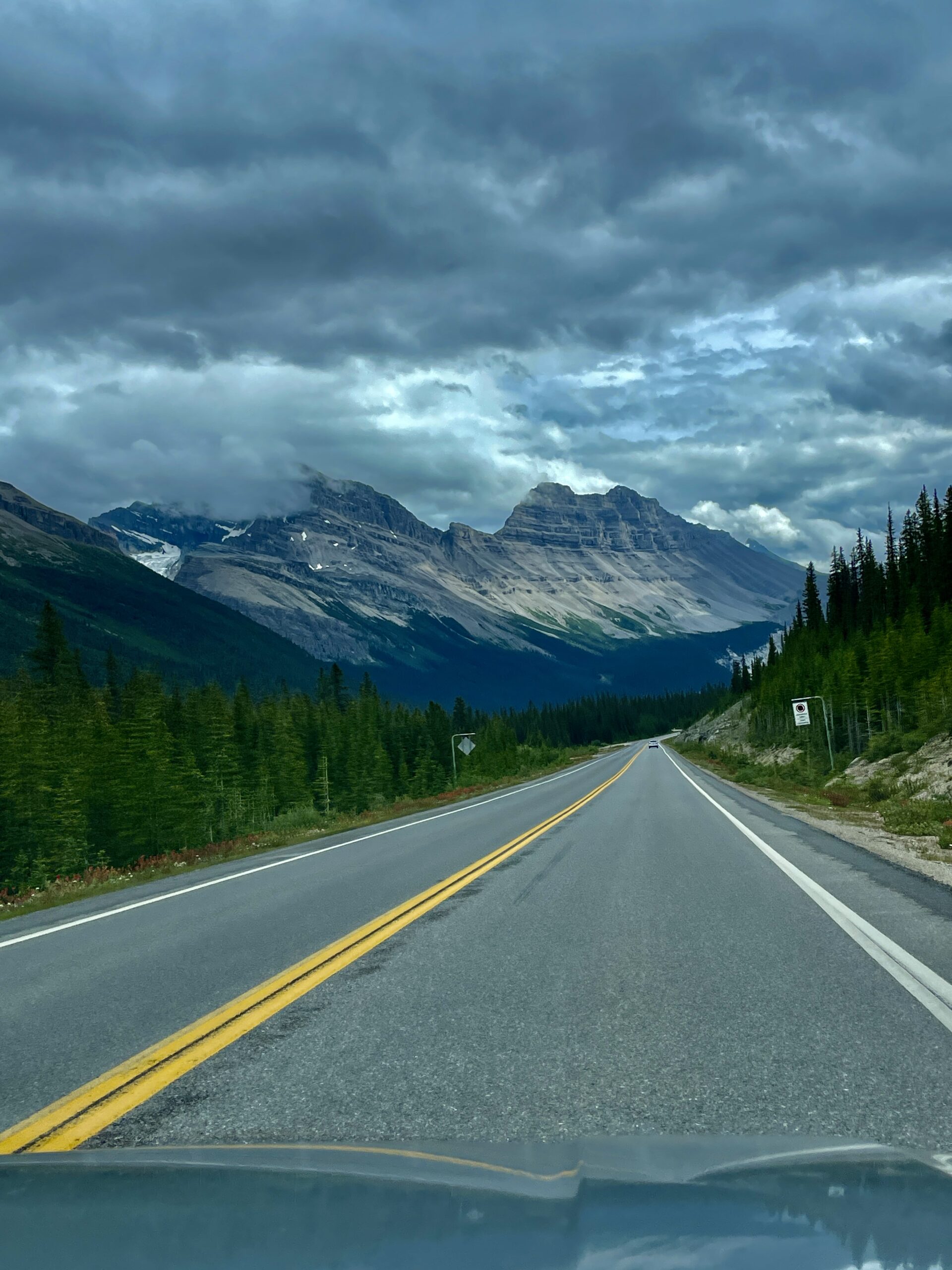
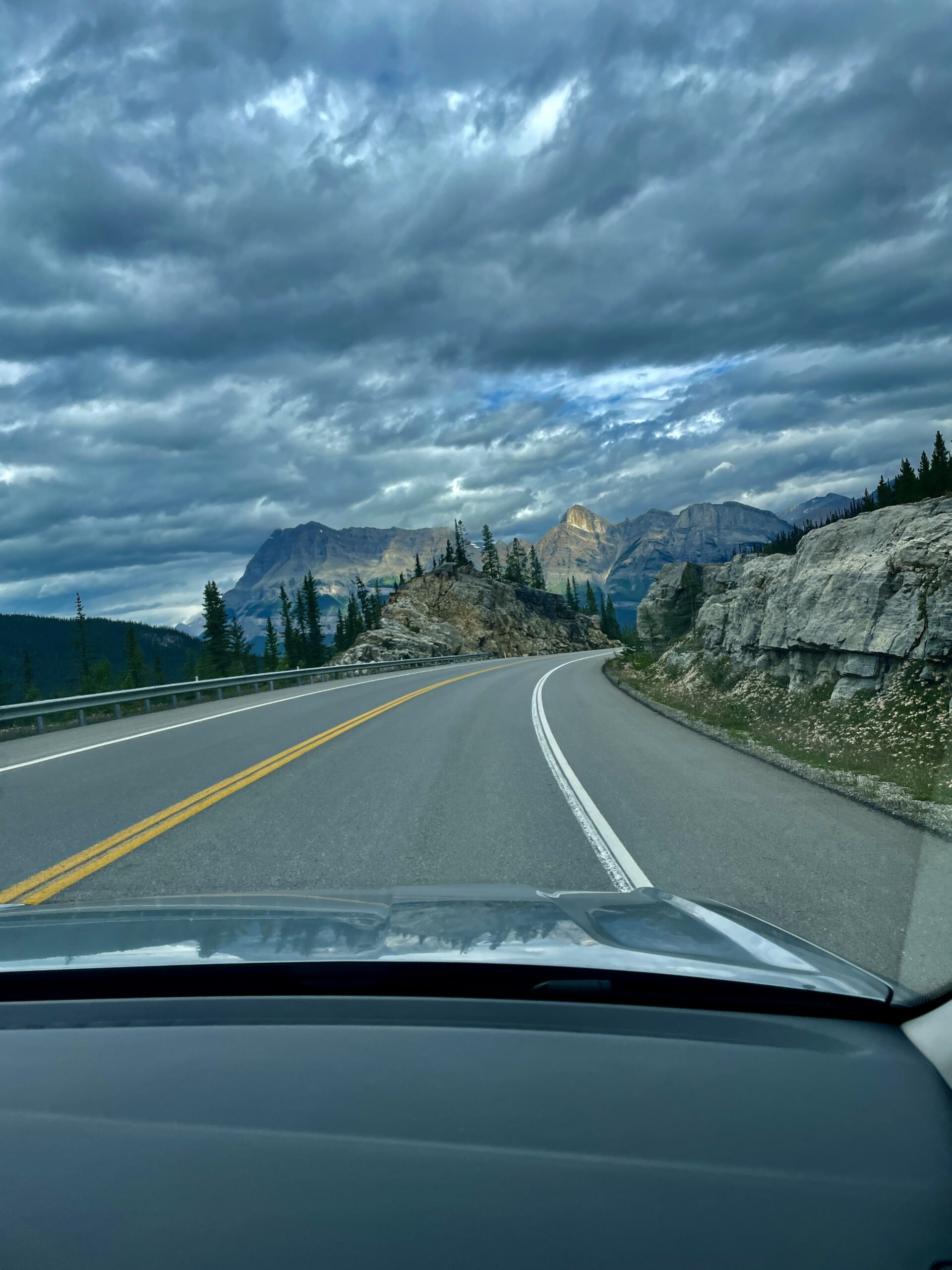
230 km of glaciers, canyons and turquoise lakes — a road you can fairly call one of the most beautiful in the world.
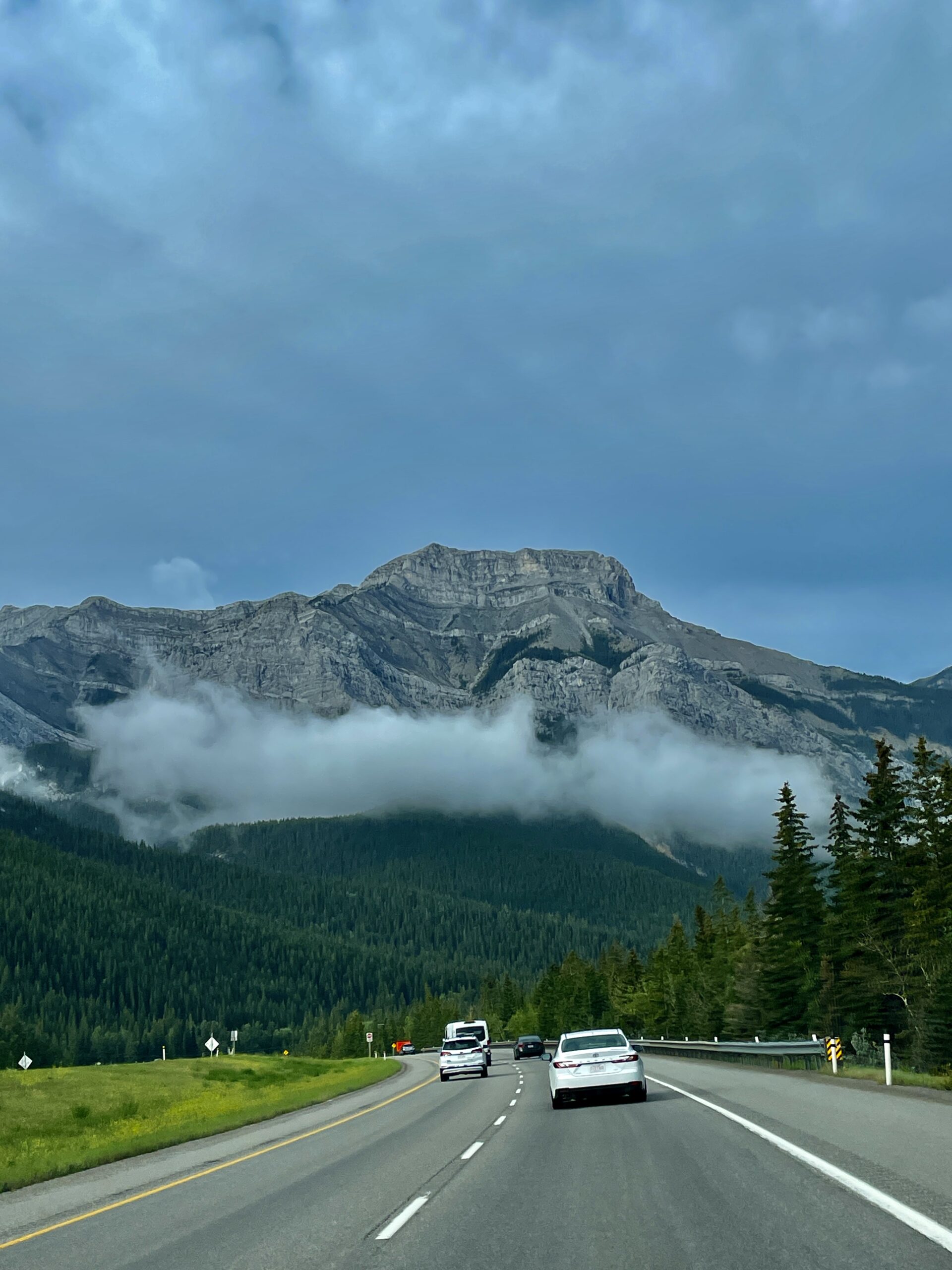
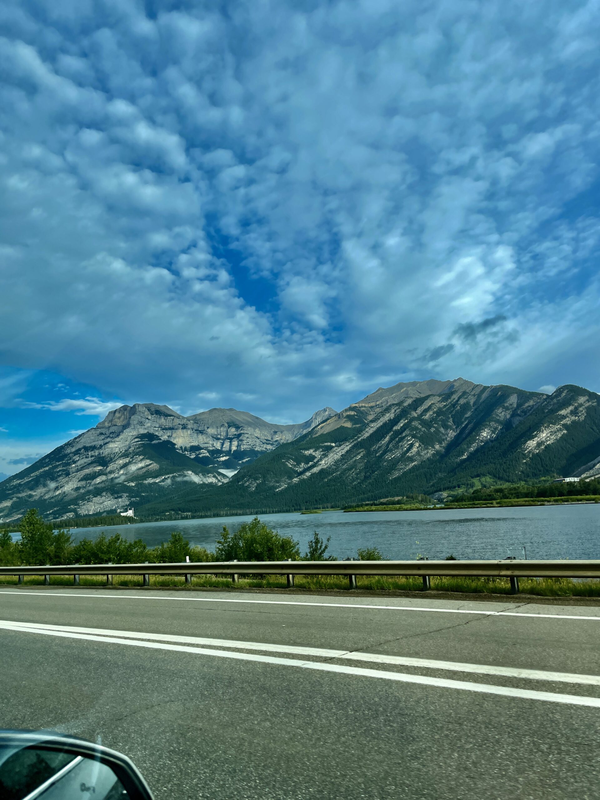
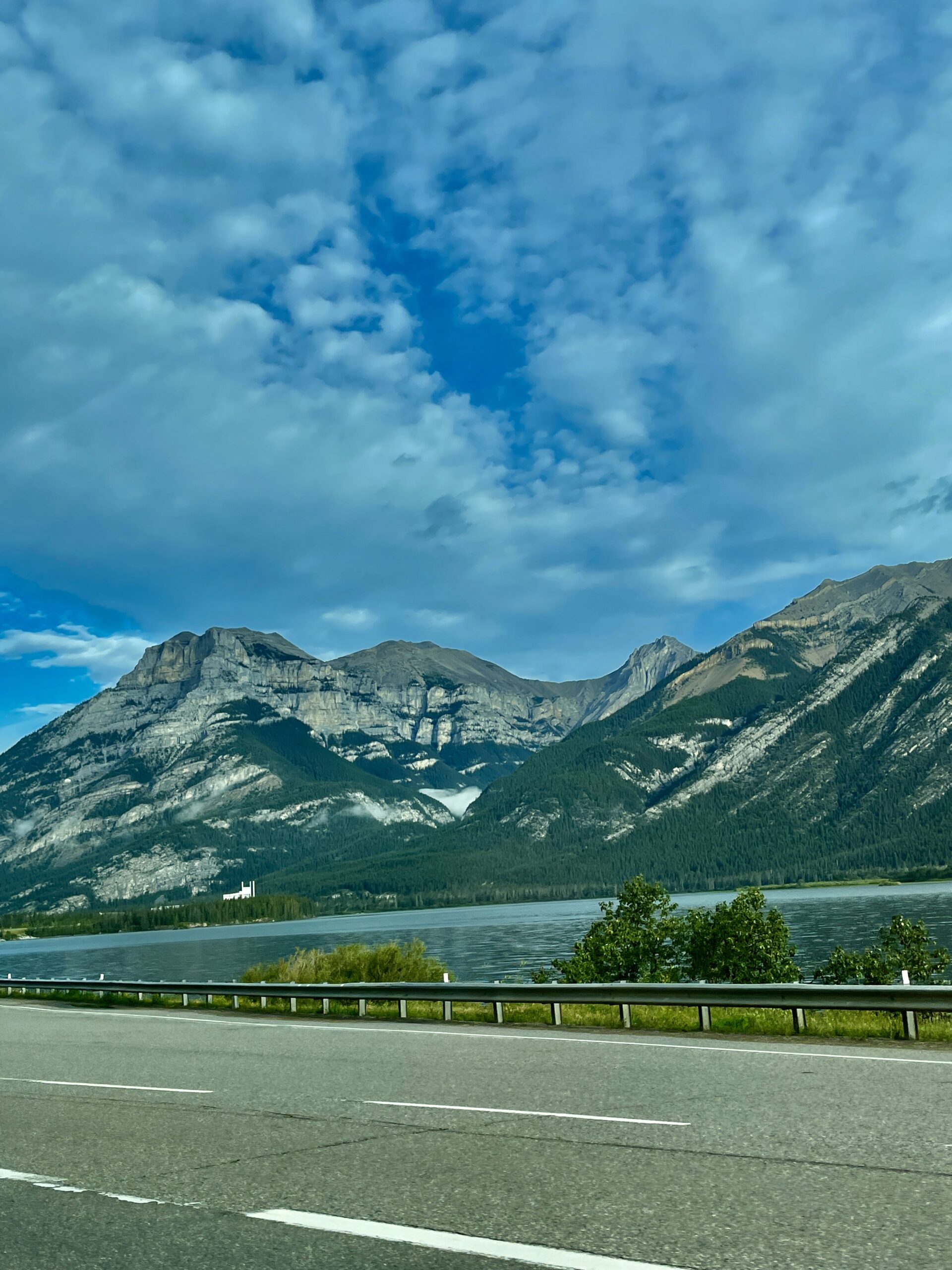
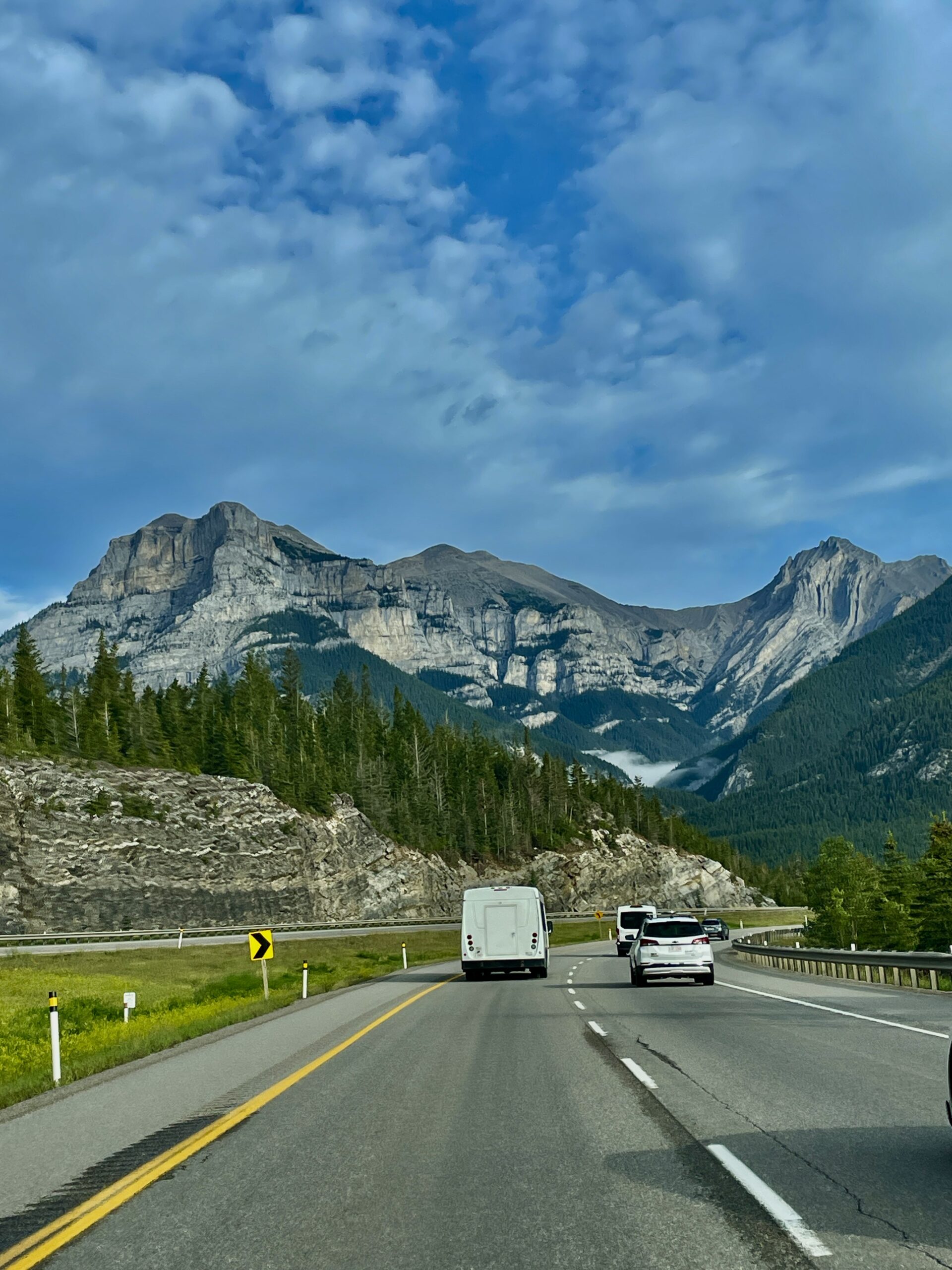
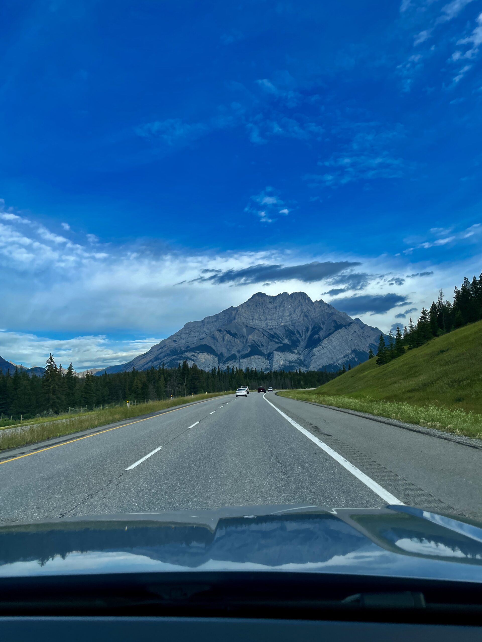
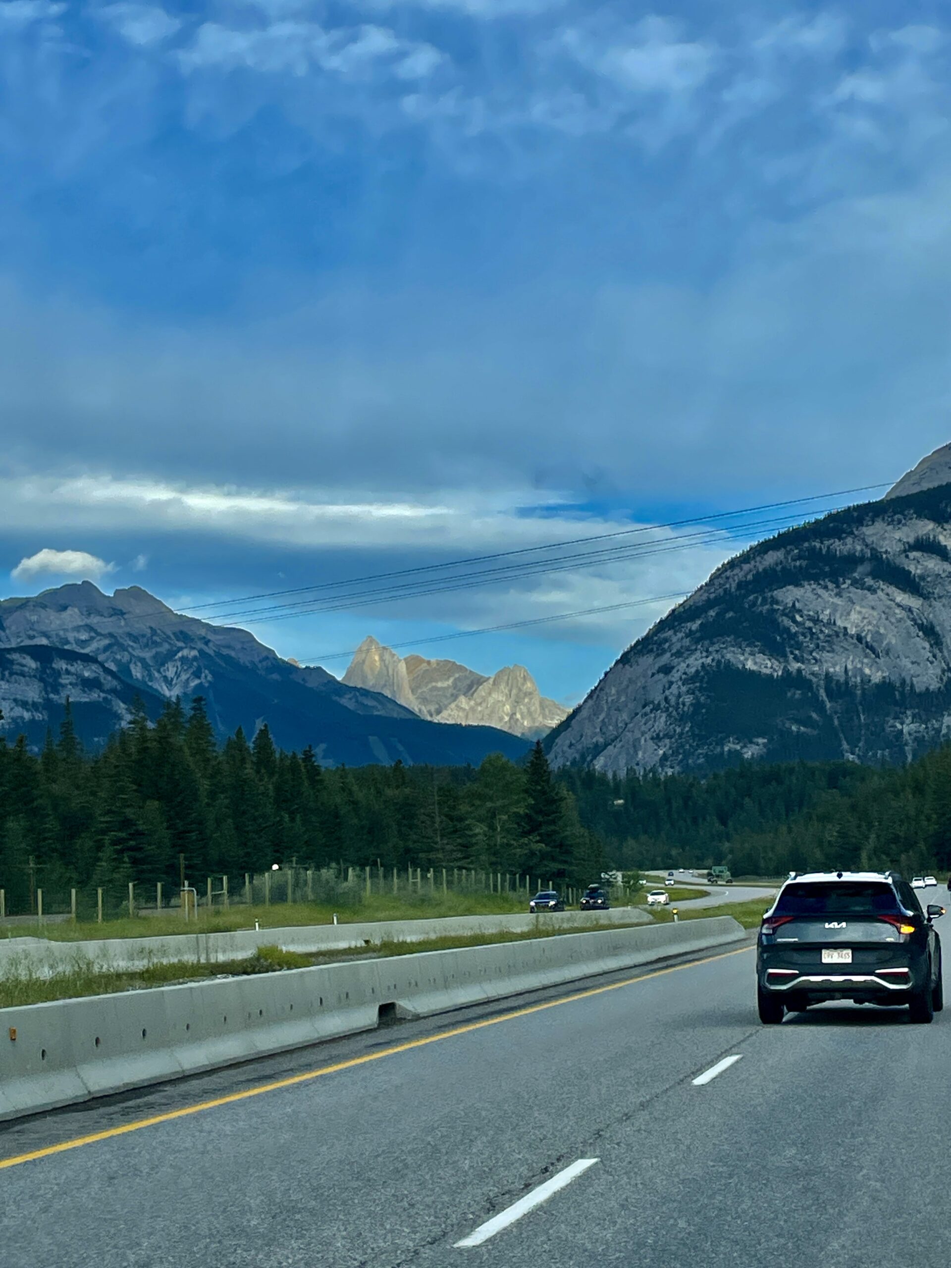
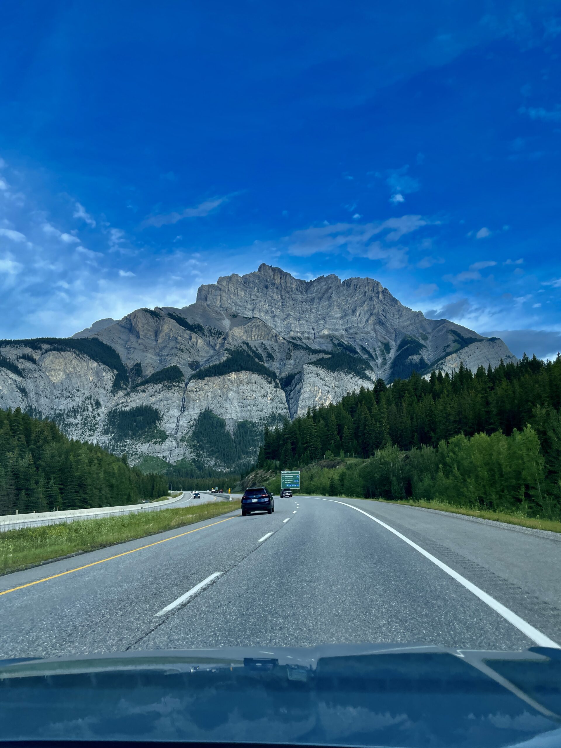
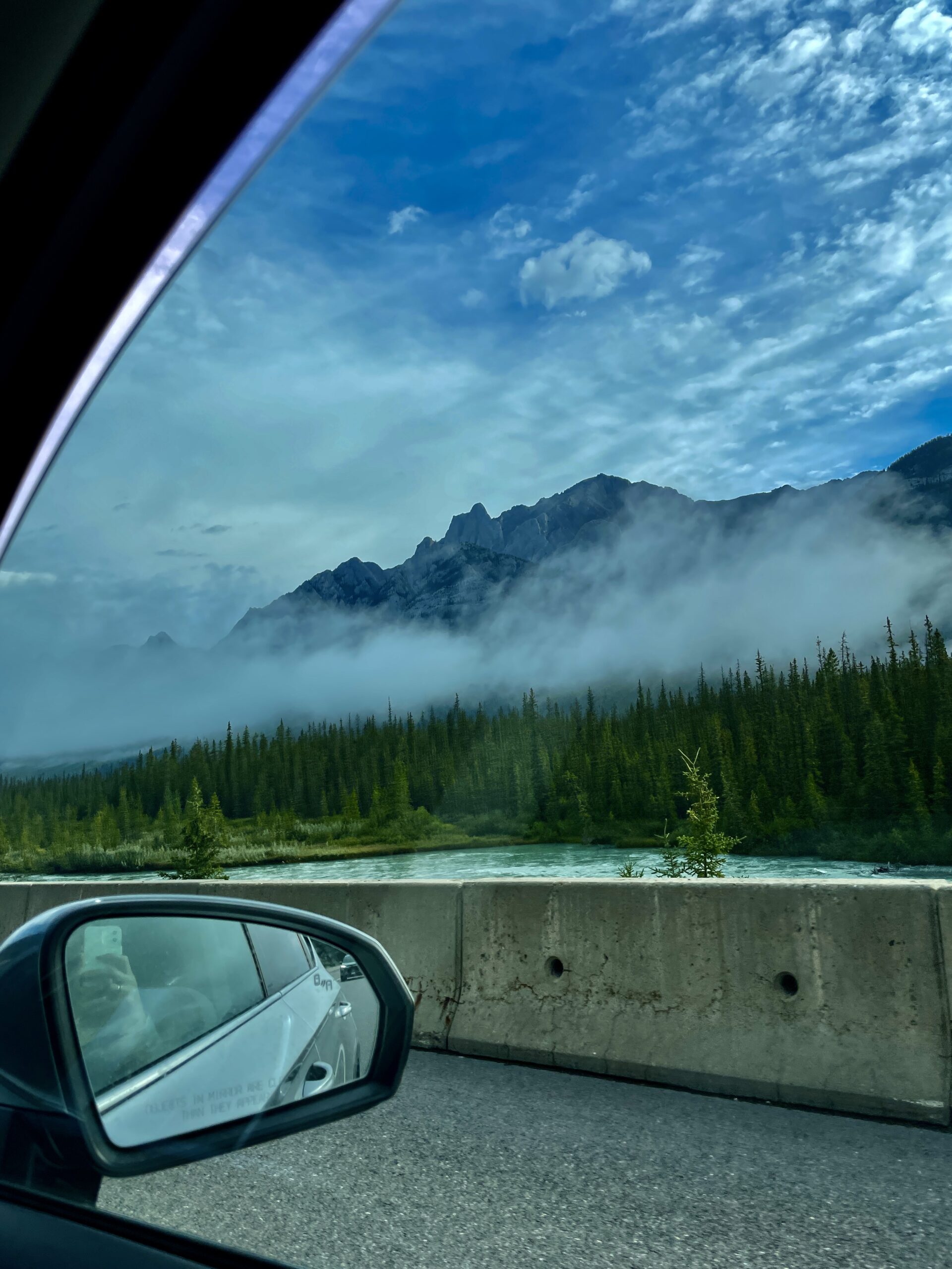
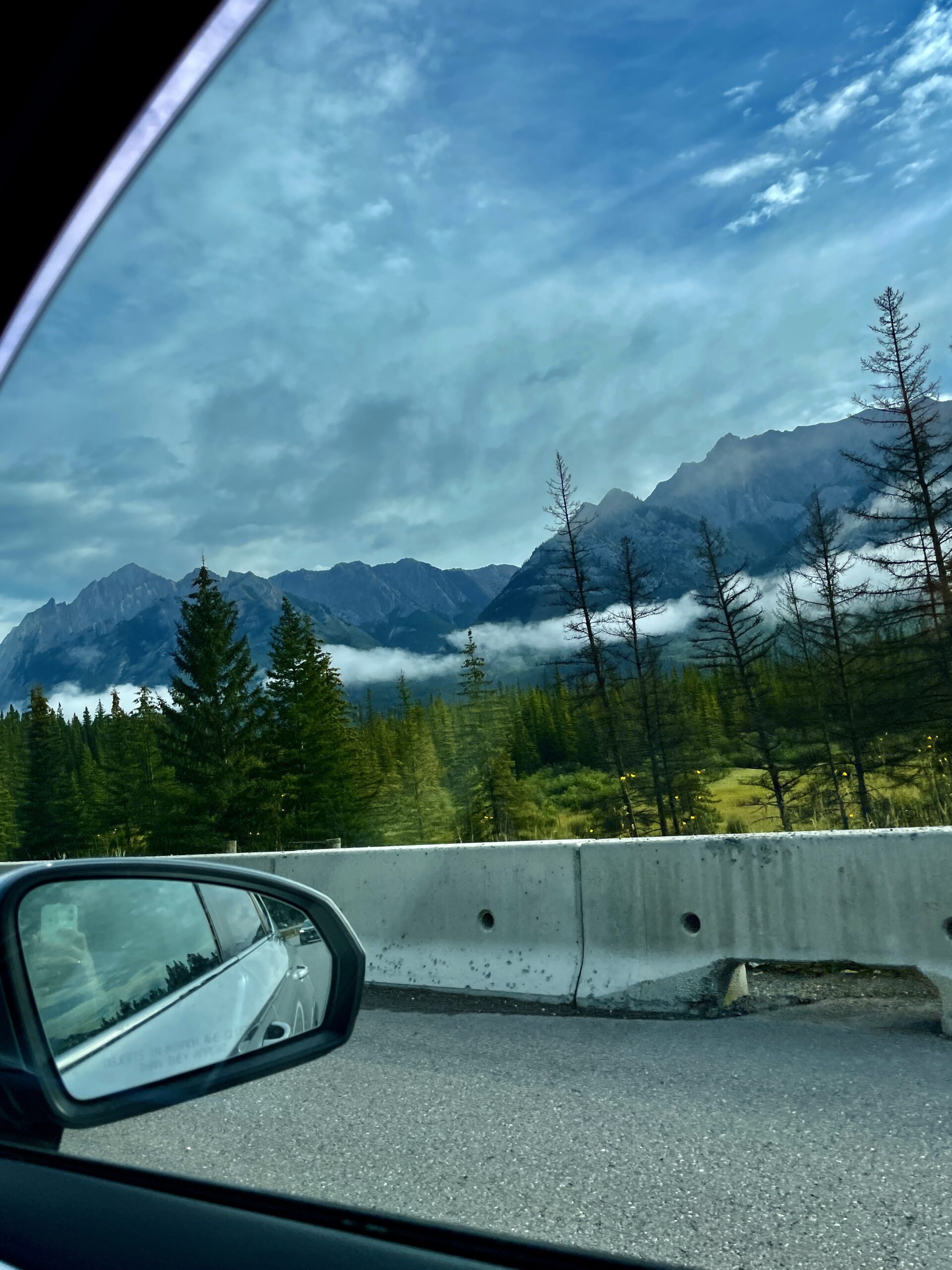
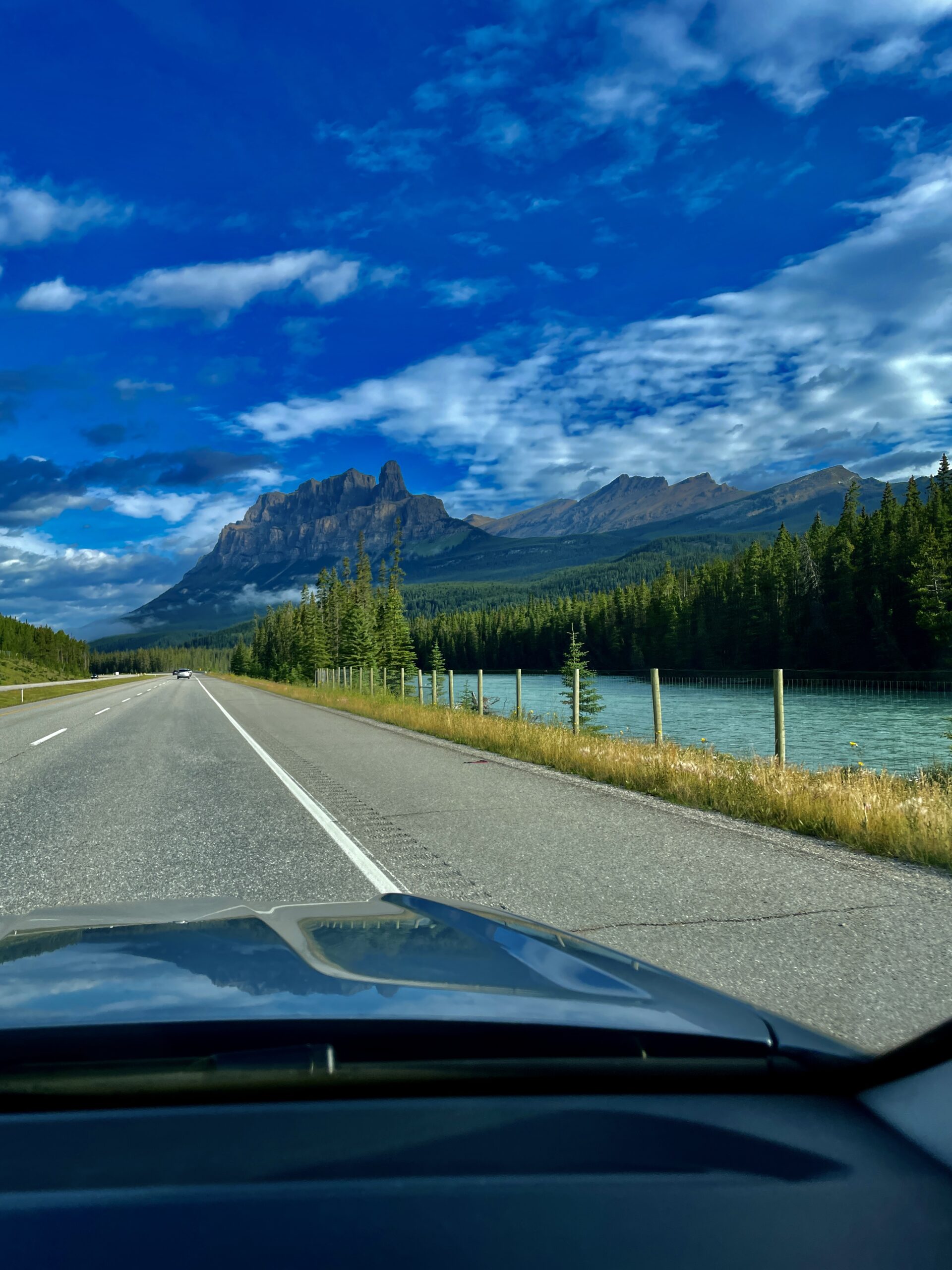
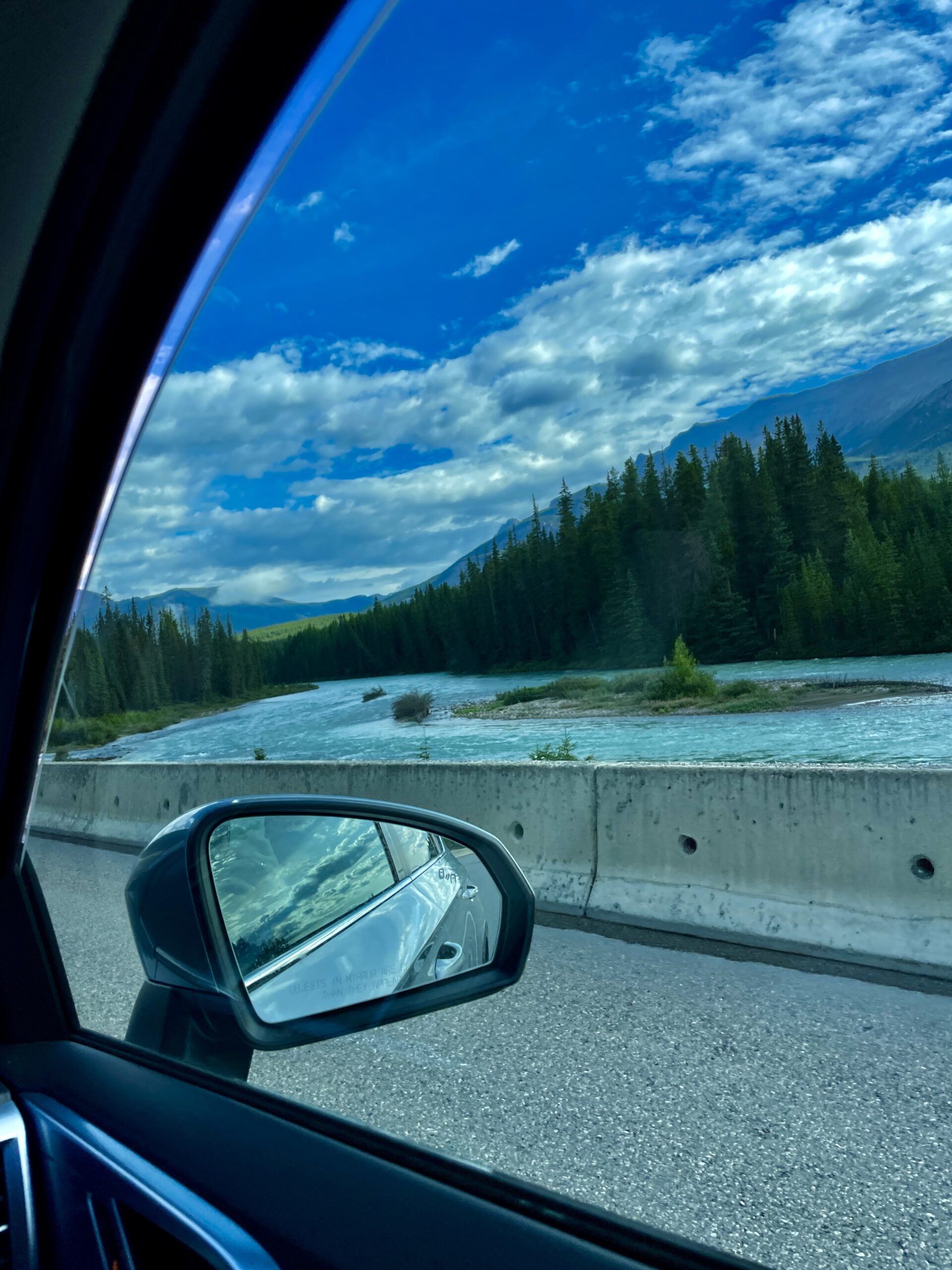
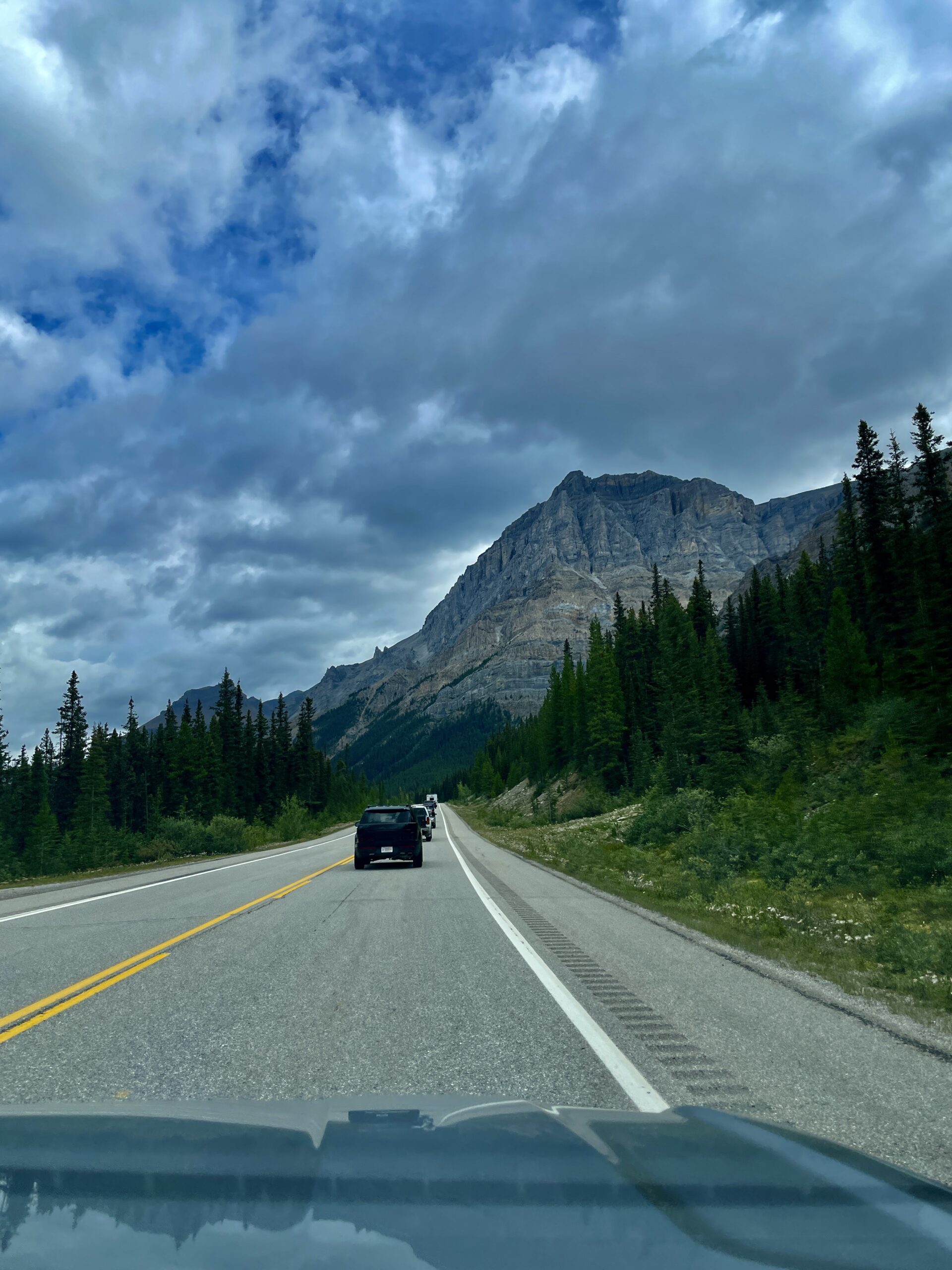
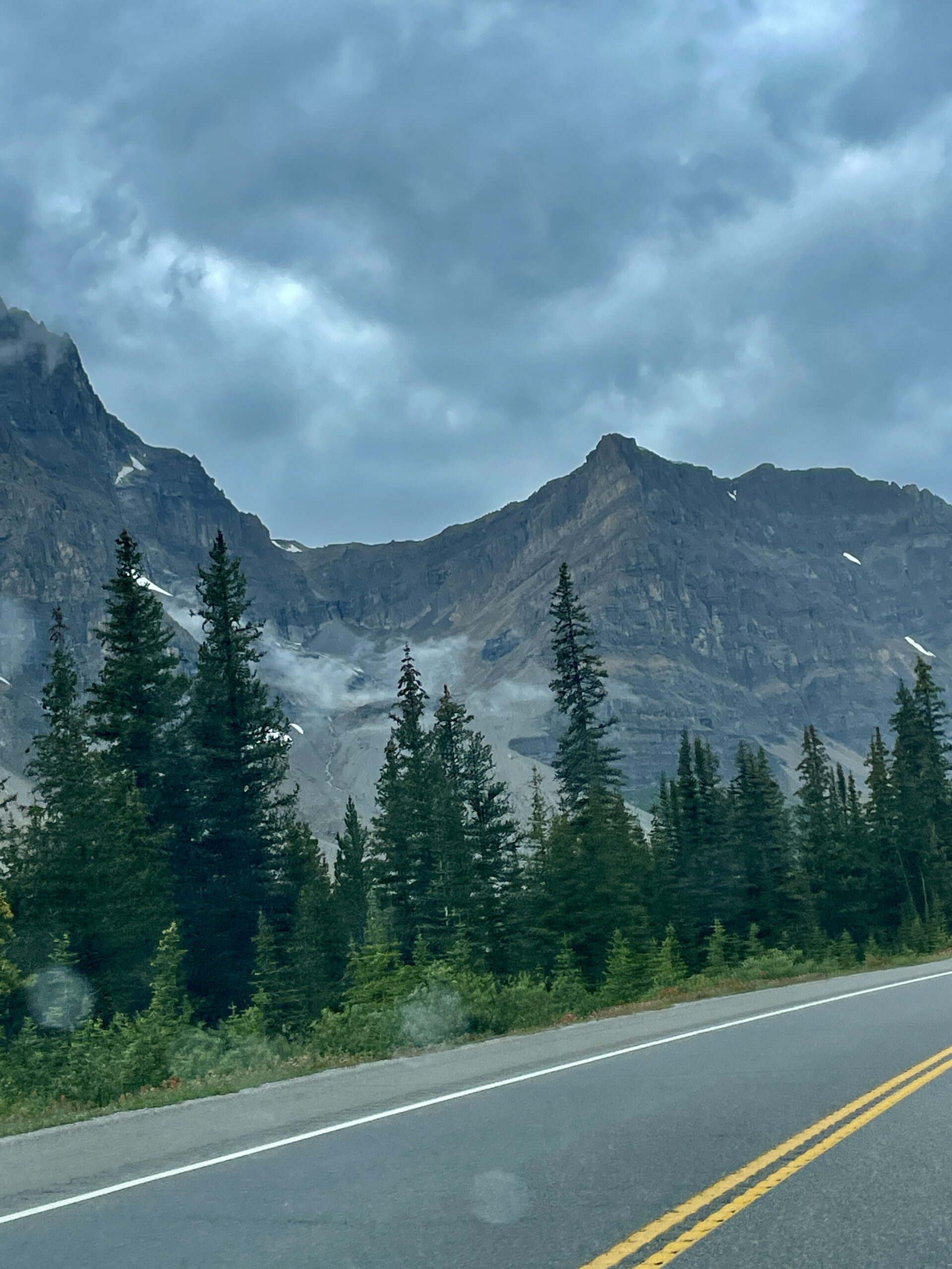
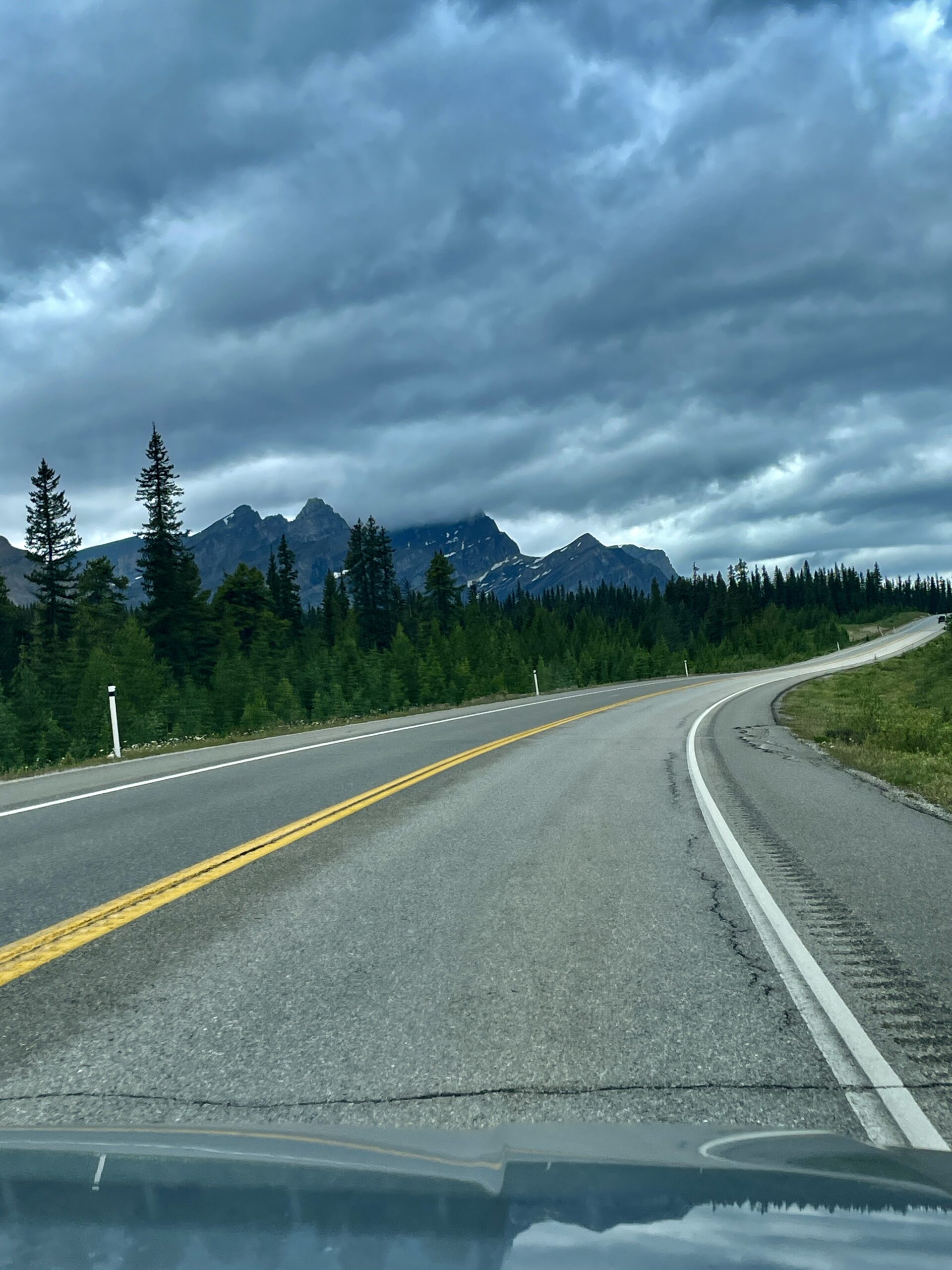
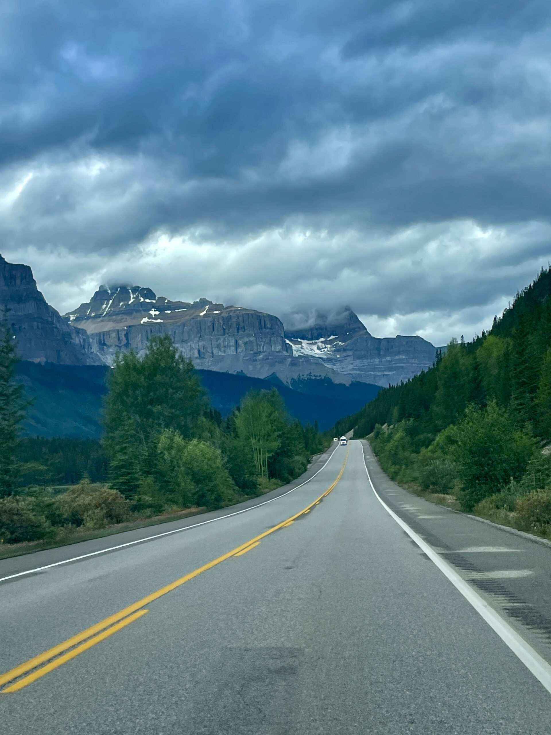
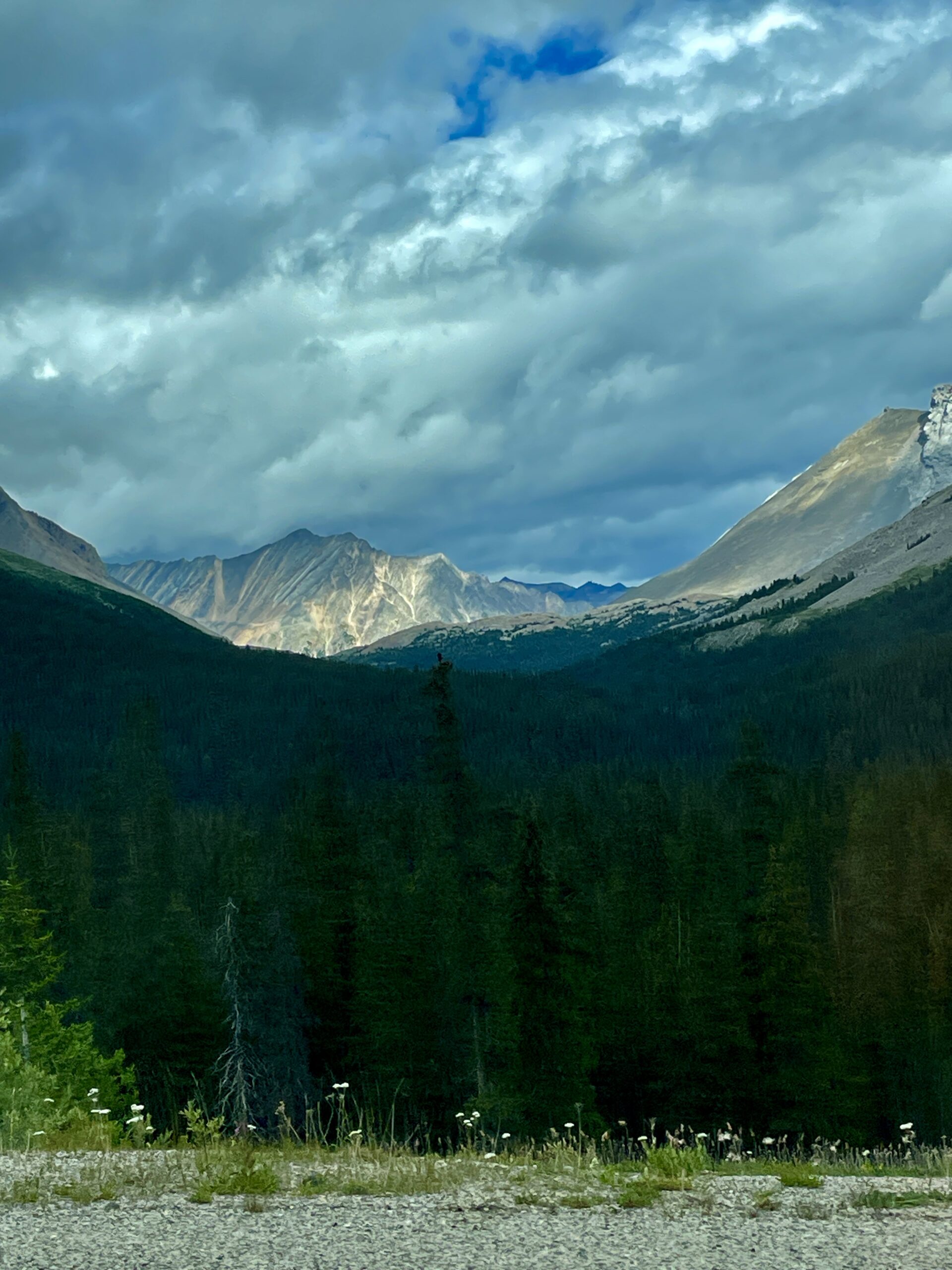
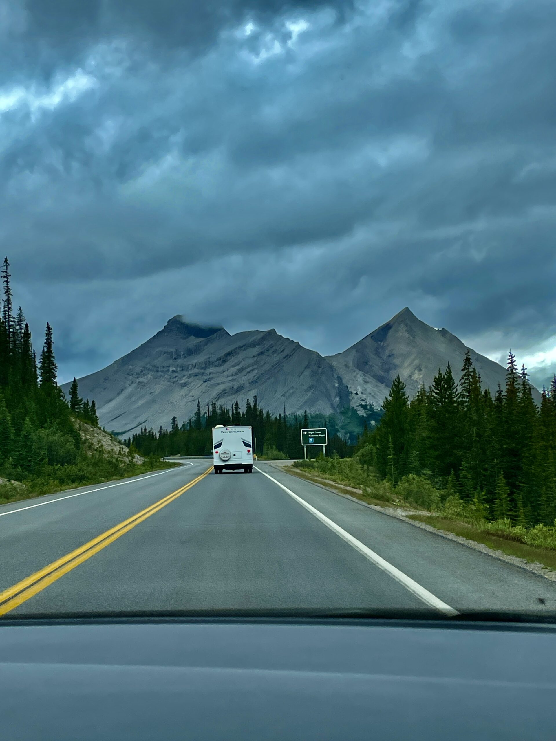
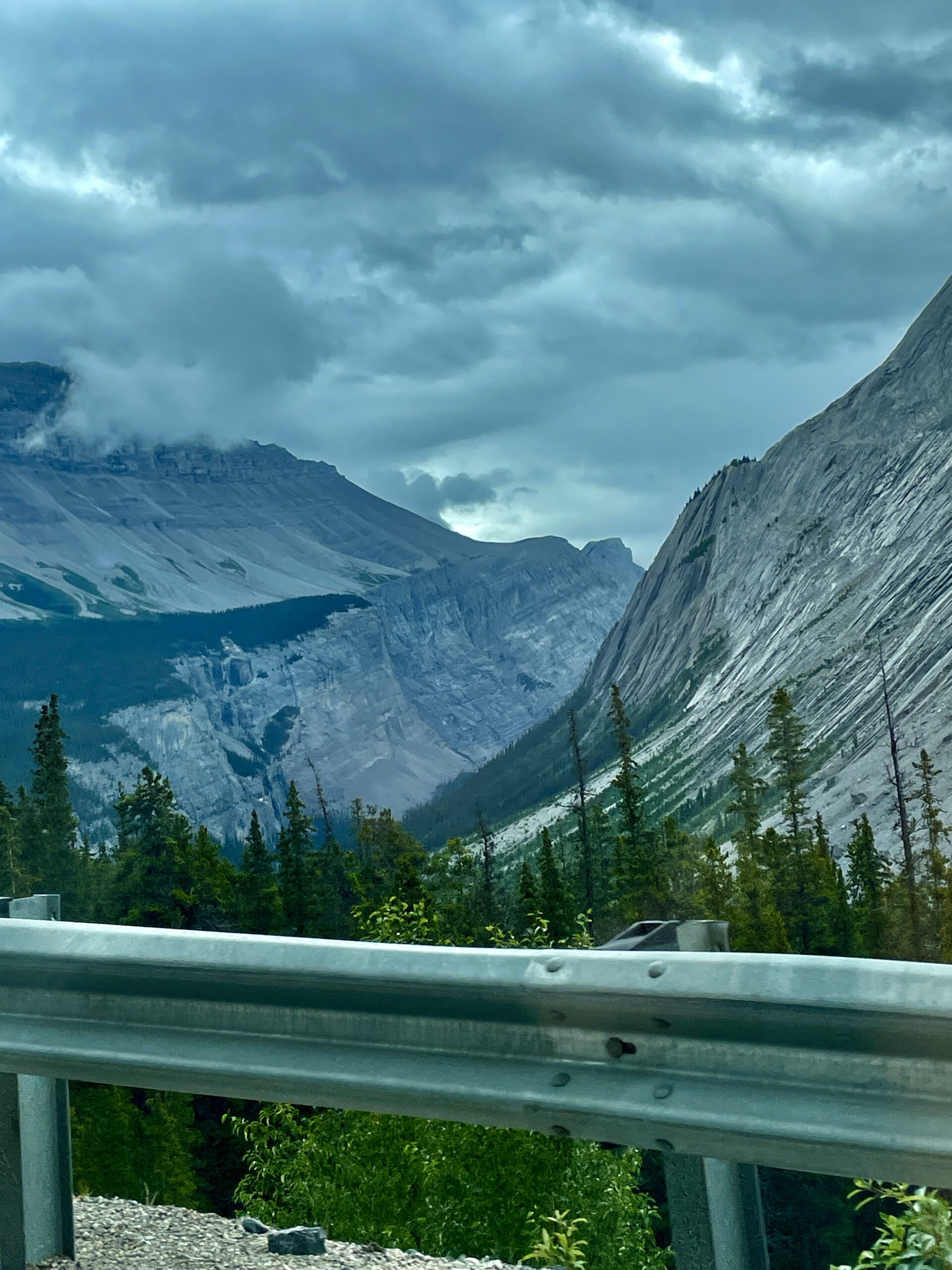
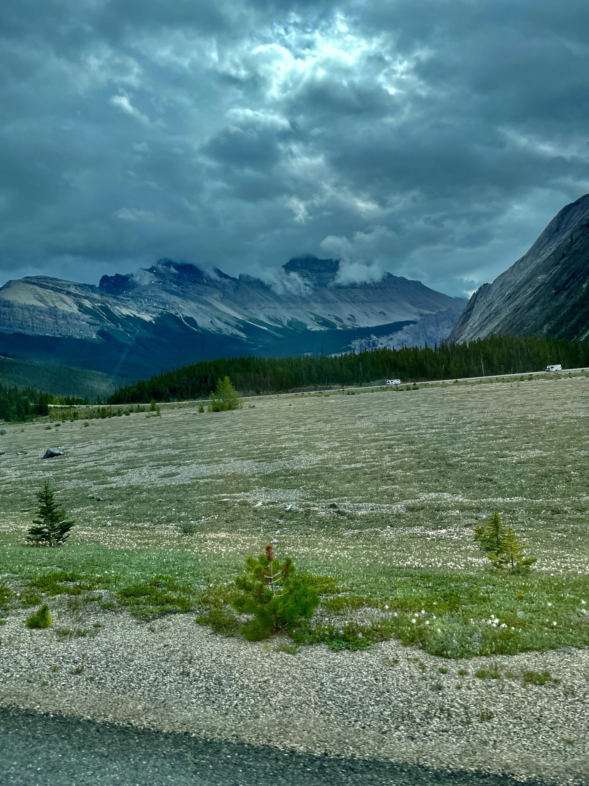
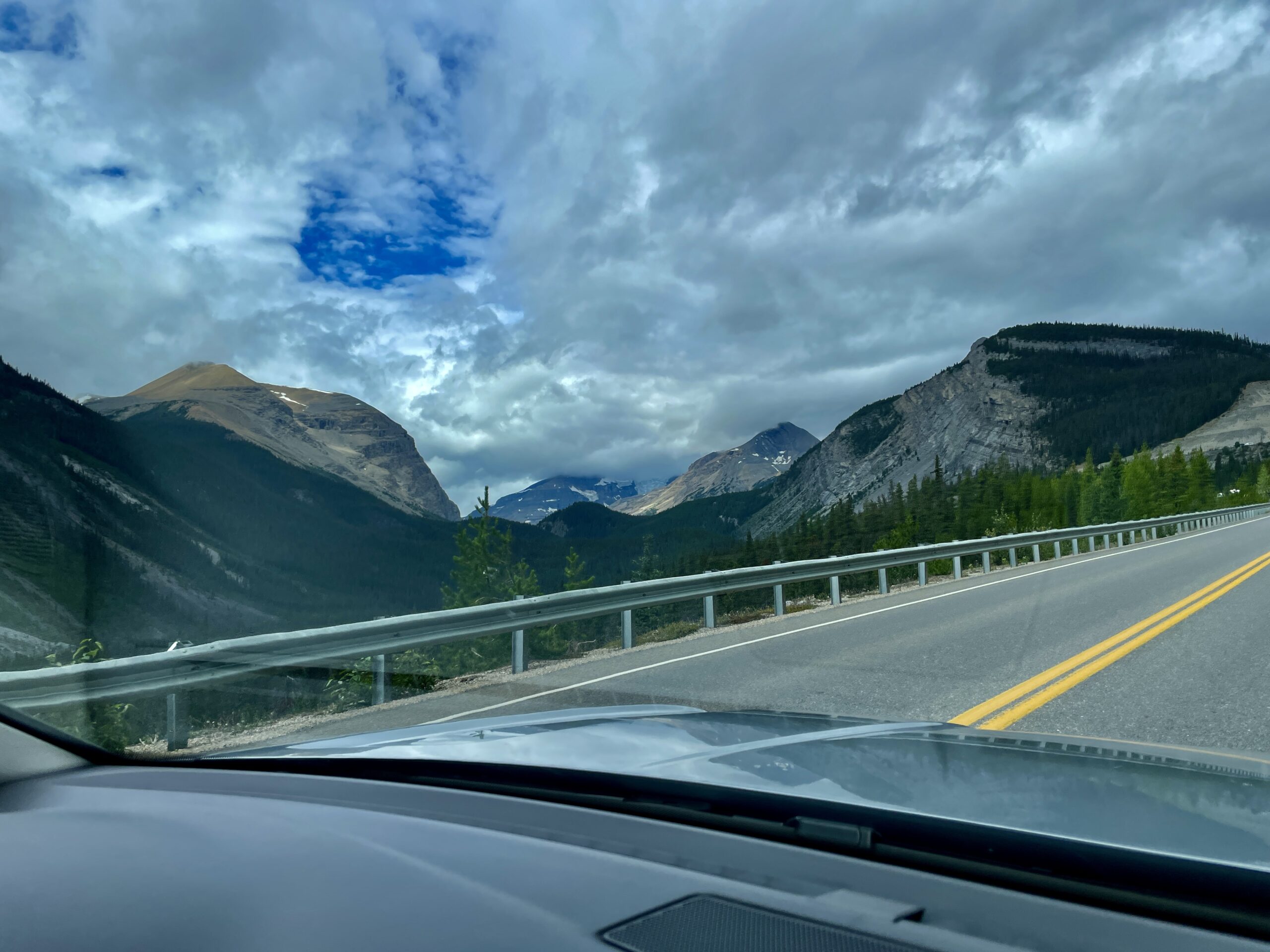
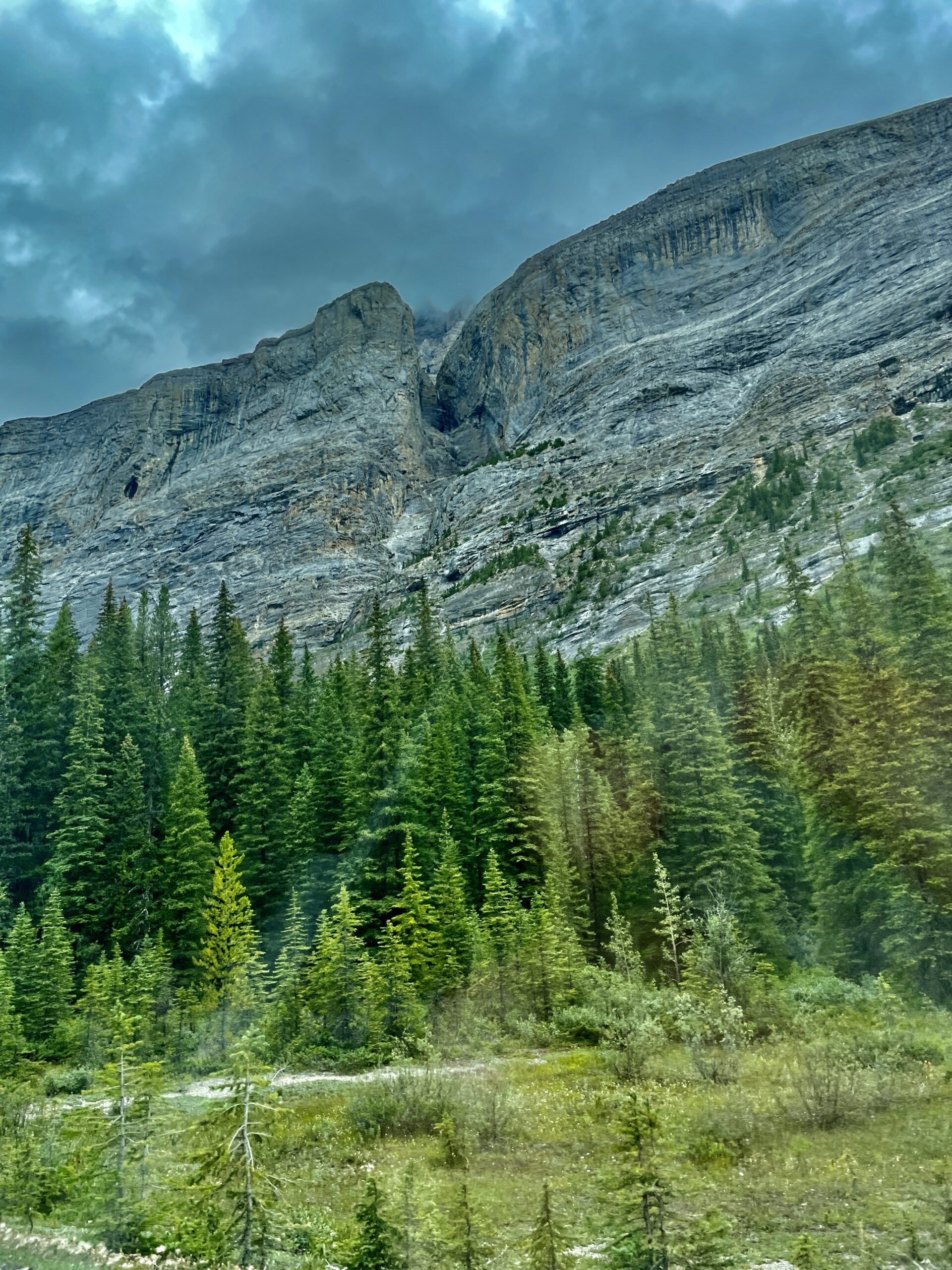
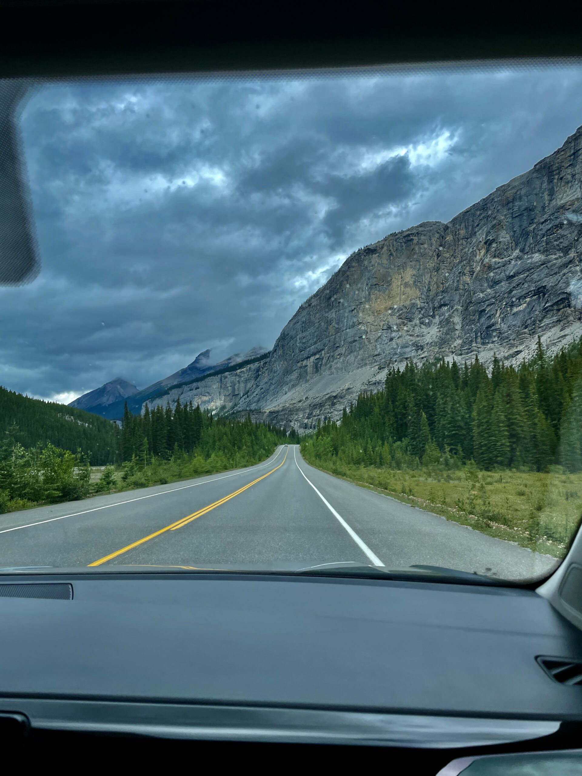
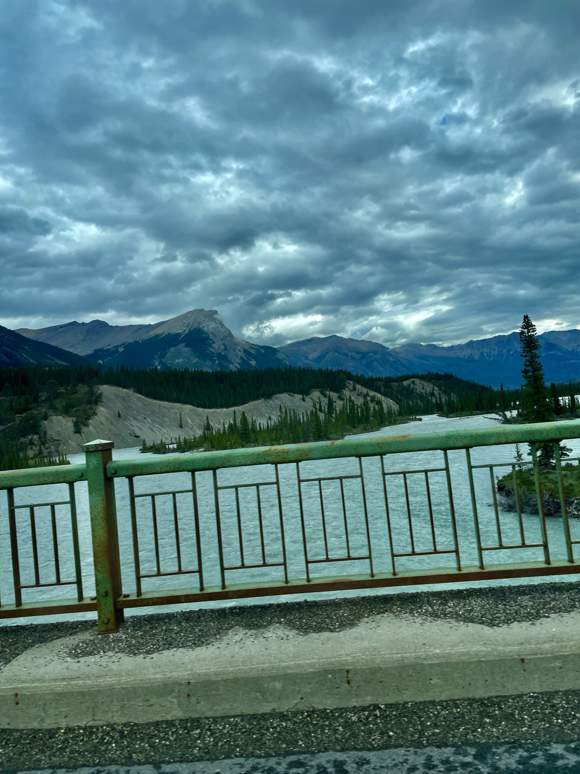
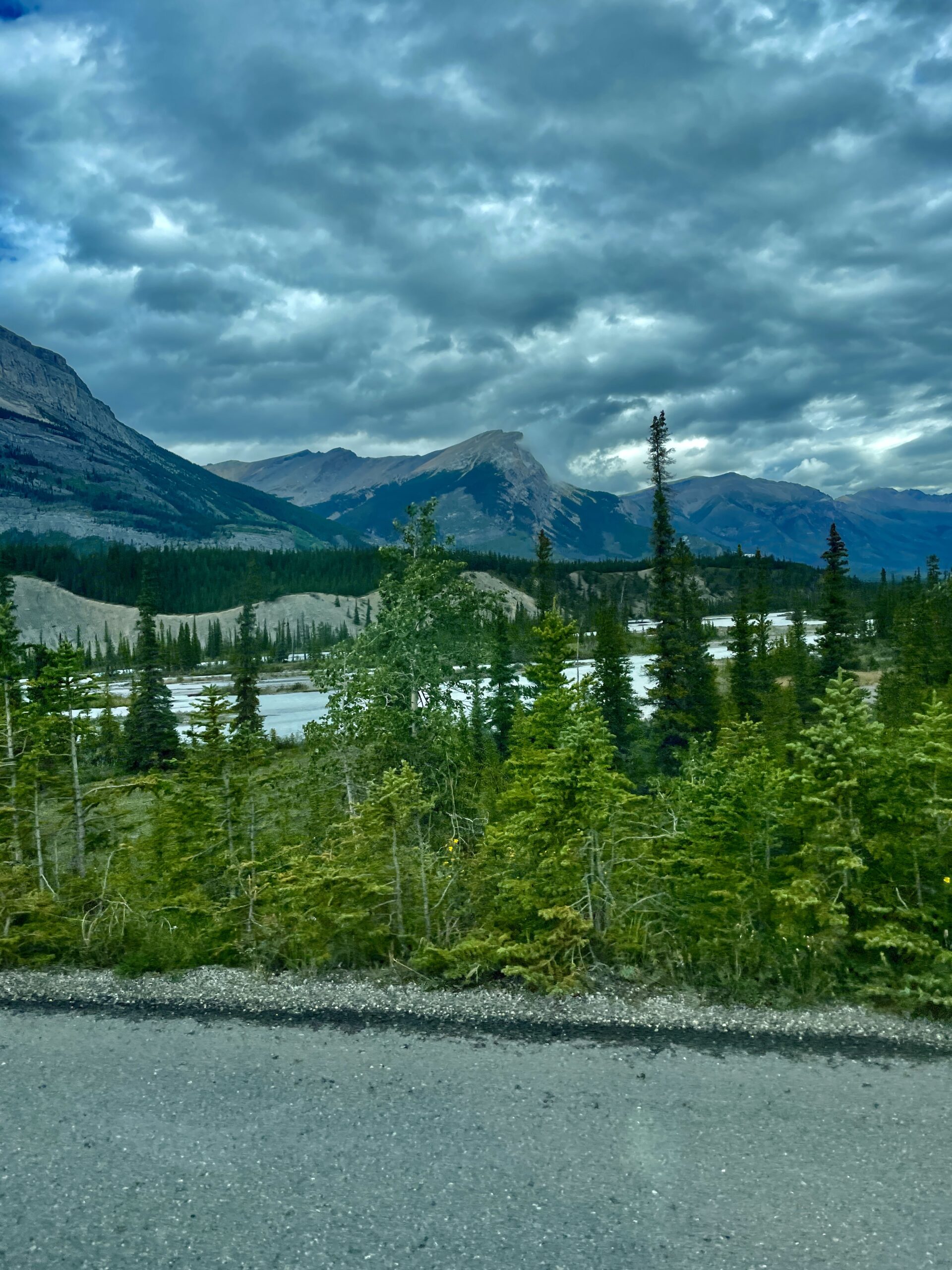
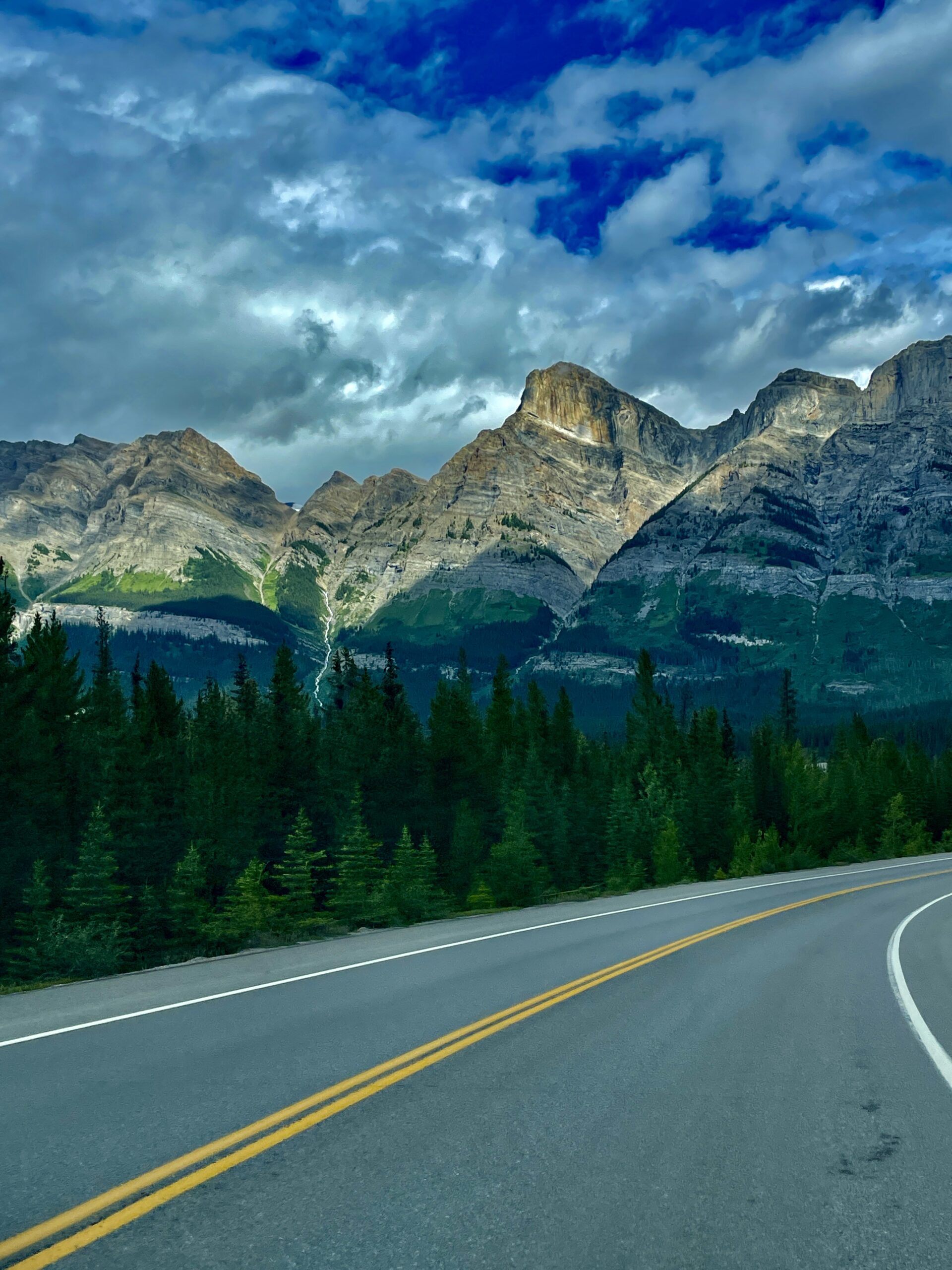
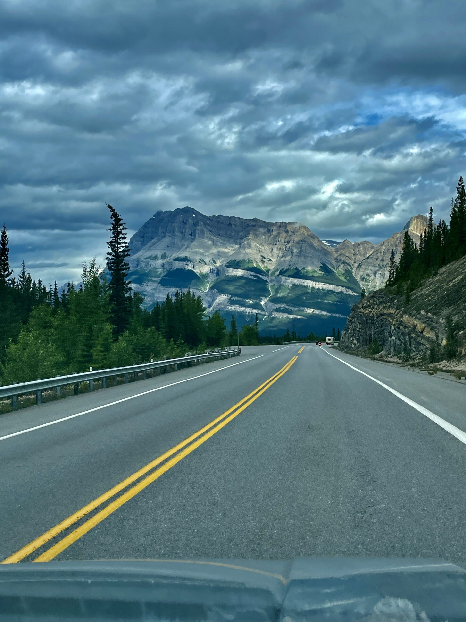
The Icefields Parkway (officially Highway 93 North) is a mountain route about 230 km long, linking Lake Louise with Jasper through the very heart of the Rockies. It regularly lands on lists of the planet’s most beautiful roads, and National Geographic dubbed it a “Drive of a Lifetime.” It’s the reason we built the second day of our Winnipeg-to-Banff road trip around it: for me, a chance to compare it with Europe’s Transfăgărășan — and honestly, the Parkway doesn’t lose that contest.
The road was built back in the 1930s, partly by Depression-era relief camps, to connect Banff and Jasper, and was deliberately routed past the most dramatic scenery. Without stops it’s about a three-hour drive, but that’s the last thing you should do here: budget a full day, because you’ll want to pull over at almost every bend.
The point where water flows to Winnipeg
The highest point on the road is Bow Summit at 2,069 metres — the second-highest highway-accessible pass in Canada. And here’s a fact that warmed us as Manitobans: this pass is a watershed divide, and the water that splits here in two directions doesn’t meet again until central Saskatchewan, after which the North Saskatchewan River carries it more than 1,600 km east — all the way to our own Lake Winnipeg. In other words, somewhere in these glaciers begins the water we see practically in our backyard.
What to see: stops from south to north
The road is essentially a string of jewels, one after another. Driving from Lake Louise toward Jasper, here are the highlights:
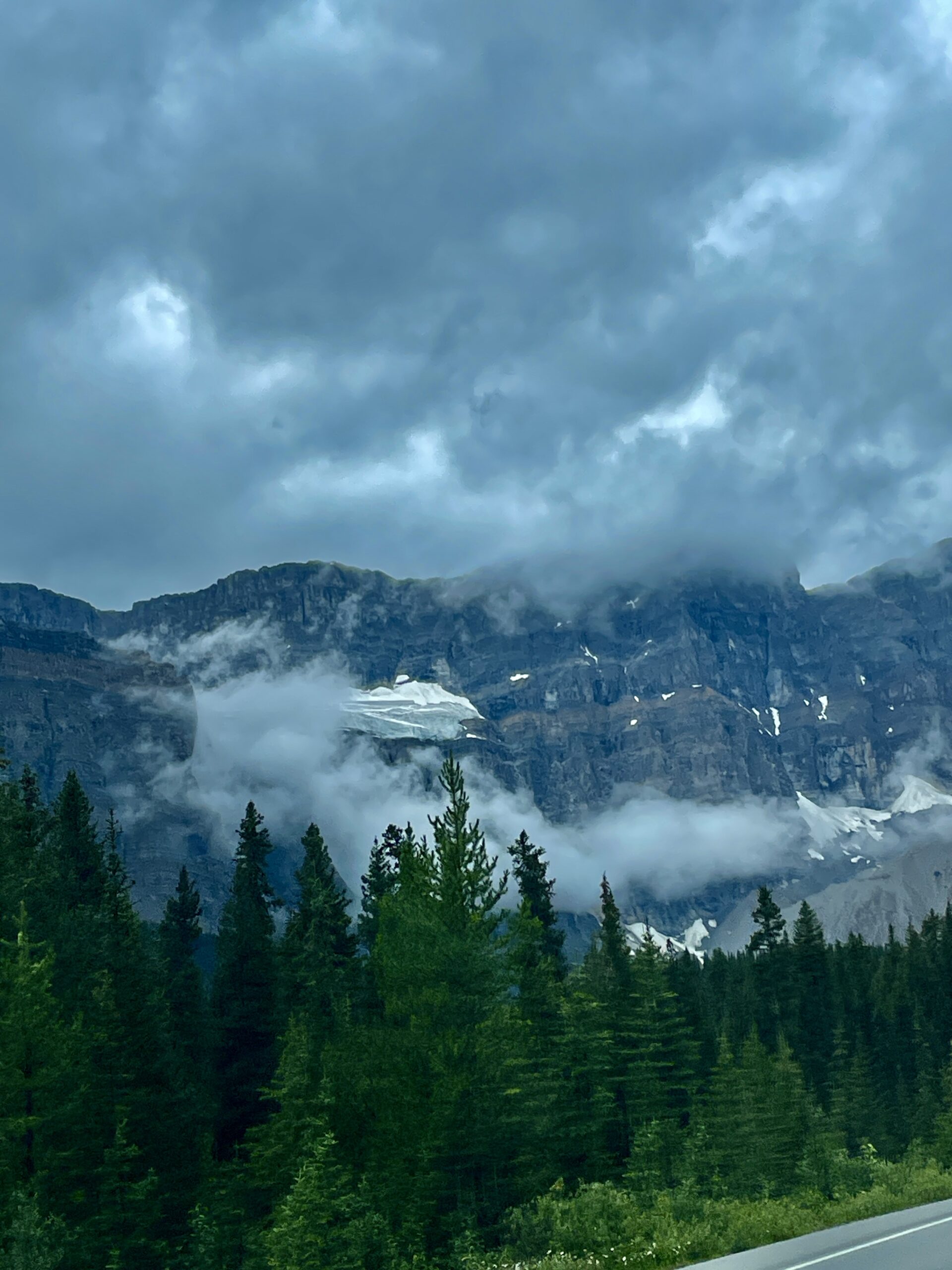
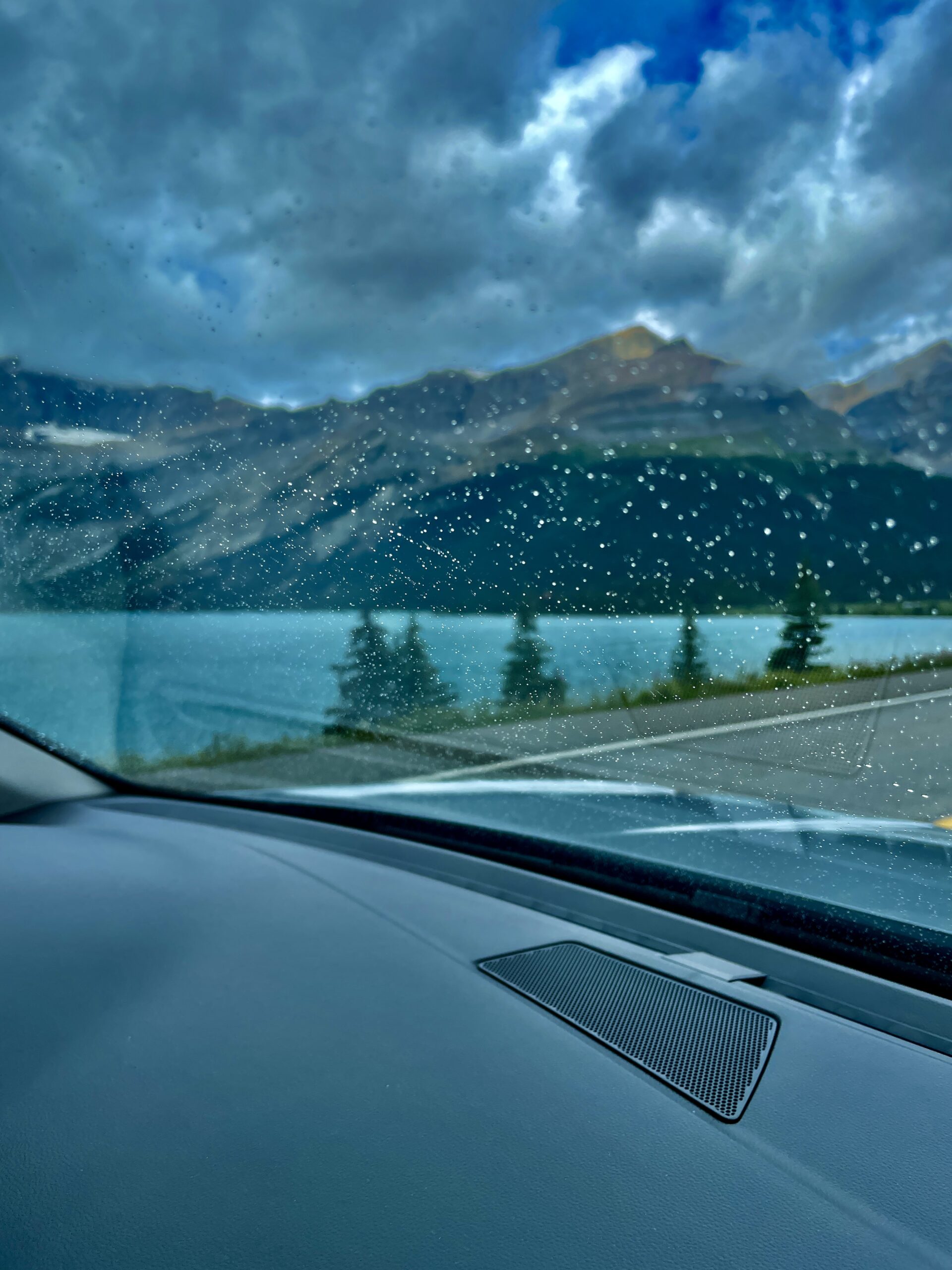
- Crowfoot Glacier and Bow Lake — the first turquoise lake and the source of the Bow River.
- Peyto Lake by Bow Summit — the “wolf’s-head” lake, the bluest of them all.
- Waterfowl Lakes — a quieter, less crowded stop with mirror-still water, great for a picnic.
- Mistaya Canyon — a narrow limestone canyon with a footbridge over the churn; a short walk down, and well worth it.
- Saskatchewan River Crossing — where three rivers meet and, importantly, the only point on the whole highway with a gas station, café and washrooms.
- The Weeping Wall — a “crying” cliff on Cirrus Mountain where water cascades down (in dry spells it can be just a trickle).
- Big Bend and the Parker Ridge trail — a steep switchback and one of the best short hikes for a view of the Saskatchewan Glacier.
- The Columbia Icefield — the climax: the largest body of ice in the Rockies, the Athabasca Glacier (the only one you can drive up to) and the glass Columbia Icefield Skywalk.
Further north, toward Jasper, lie Tangle Creek Falls, the “Goats & Glaciers” viewpoint (where mountain goats often graze the salt lick), Sunwapta Falls and the powerful Athabasca Falls. We deliberately left those last ones for a separate trip — there and back in a day would only be a glimpse.
What to do beyond photos
The Parkway isn’t just “pull over and snap.” It’s dense with short and longer trails: the descent into Mistaya Canyon, the climb up Parker Ridge, the “Toe of the Athabasca Glacier” path right up to the glacier’s tongue, the longer route to Bow Glacier Falls. At the Columbia Icefield you can ride a specialized Ice Explorer vehicle onto the glacier or join a guided walk on the ice. You can rent canoes on the lakes, and in winter some of the waterfalls become a playground for ice climbers. In a single trip you can genuinely combine an easy stroll, a serious hike and pure sightseeing.
Wildlife
Keep your eyes open: along the road you may really see black bears and grizzlies, mountain goats and bighorn sheep, moose and deer. A classic spot is that “Goats & Glaciers” salt lick, where goats come to lick minerals right by the highway. One rule: don’t brake suddenly in the middle of the road, keep your distance, and never feed the animals.
Tips to drive it with pleasure
- Time. Budget a full day (at least twice what your sat-nav shows): you’ll be stopping constantly.
- Go early. Fewer people at the viewpoints and a better chance of spotting wildlife.
- Fuel. The only gas on the highway is at Saskatchewan River Crossing, so fill up in Lake Louise Village and don’t run it down.
- Signal. There’s almost none along the road — download offline maps at home.
- Clothing. Even in summer the mountains are cool and the weather fickle: a warm layer and a rain shell are essential. If you plan to hike — water and bear spray.
- Entry. The road is free, but you need a Parks Canada pass (in summer the Canada Strong Pass covers it).
- Winter. The road is open year-round, but sections close for avalanche control and services are minimal — check conditions ahead.
When to go
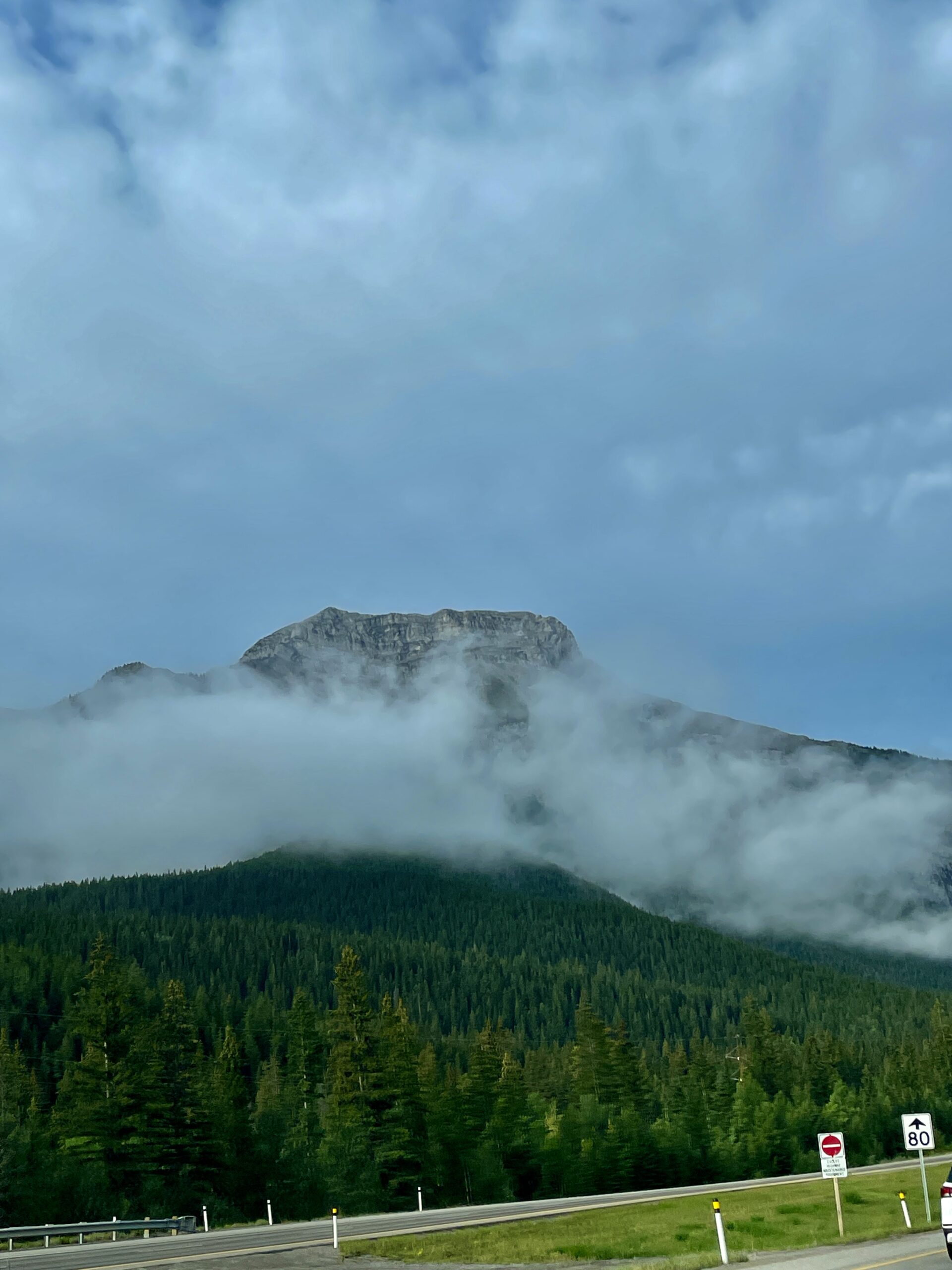
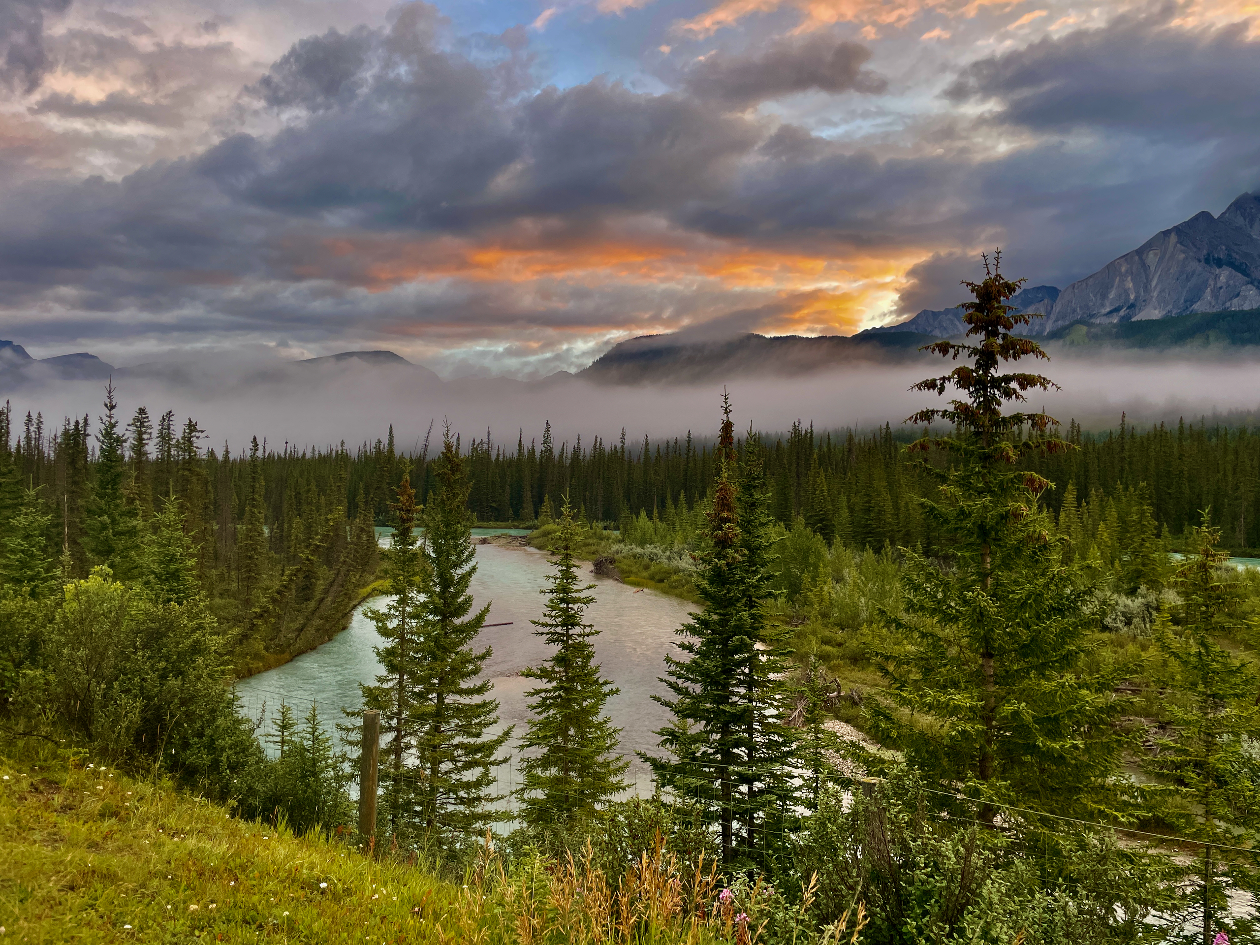
The best season is June through September, when the lakes have shed their ice and glow turquoise and the trails are dry. Peak water colour is mid-summer. Both directions (south-to-north and back) are equally beautiful, so don’t fret about which way to run it.
| Detail | Info |
|---|---|
| What it is | Hwy 93N, ~230 km, Lake Louise ↔ Jasper |
| Highest point | Bow Summit (2,069 m), divide draining to Lake Winnipeg |
| Key stops | Bow Lake, Peyto Lake, Mistaya Canyon, Columbia Icefield, Athabasca Falls |
| Fuel/services | Saskatchewan River Crossing only; fill up in Lake Louise |
| Signal | Almost none → offline maps |
| Entry | Parks Canada pass / Canada Strong Pass |
| Season | Year-round; best June–September |
Read next: Peyto Lake, Bow Lake, the Columbia Icefield Skywalk and the whole Winnipeg-to-Banff road trip.