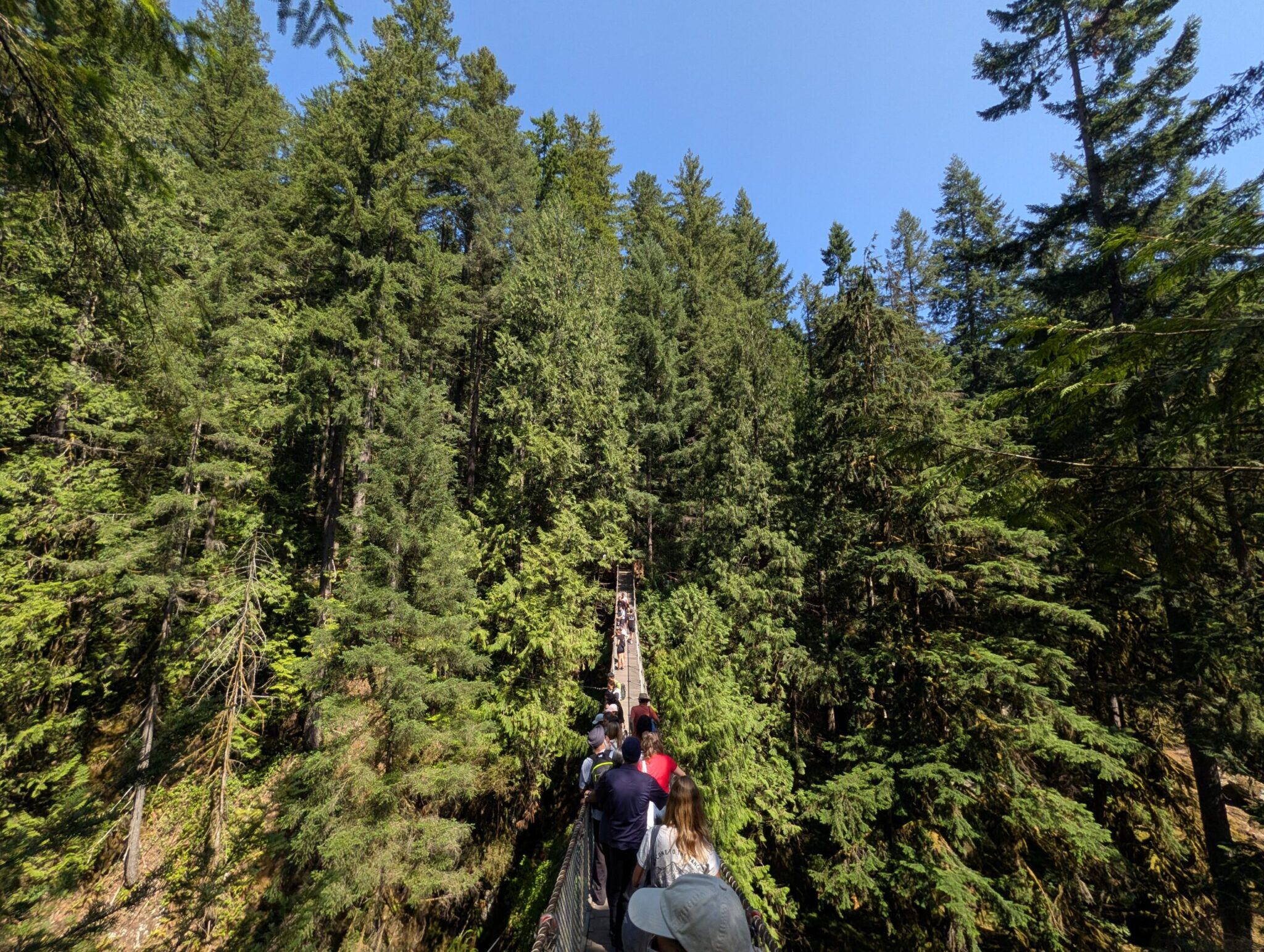



A tiny summer village on a mountain creek — and the doorway to fifteen hundred square kilometres of wild Alberta.
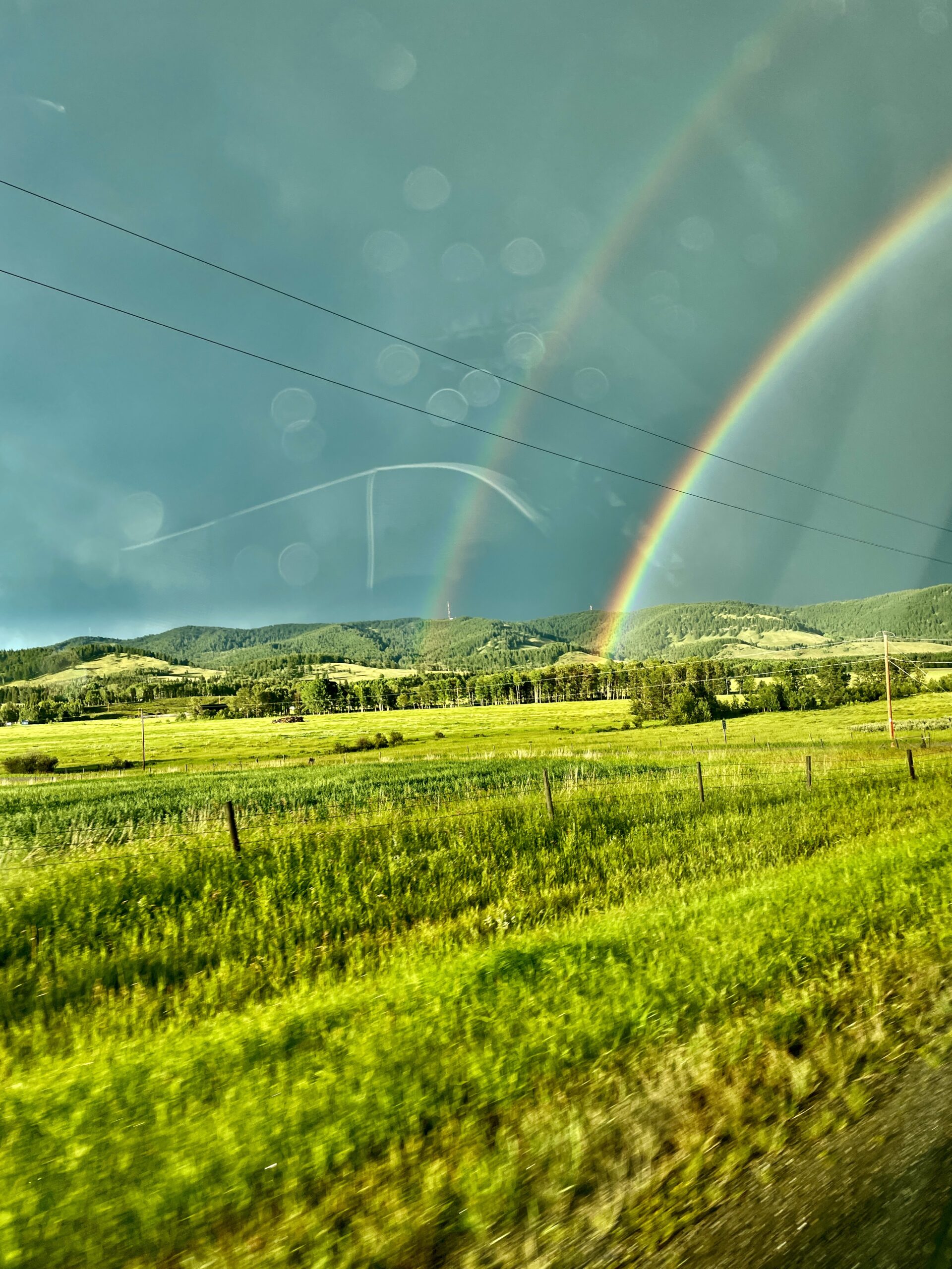
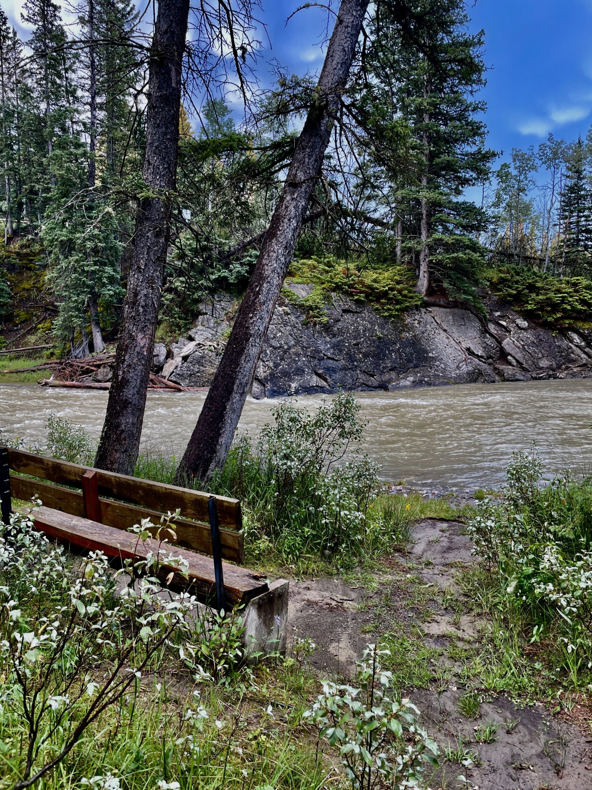
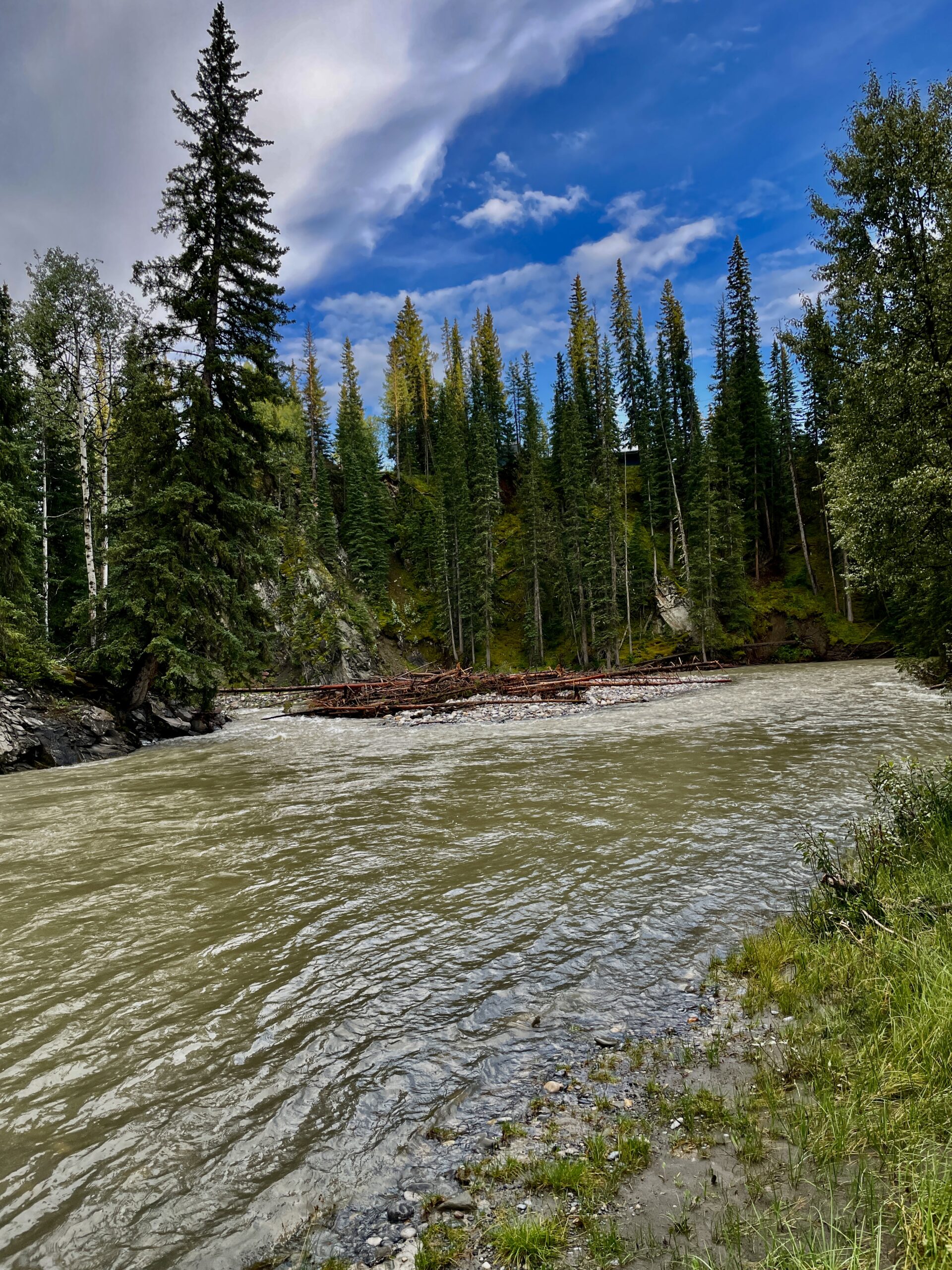
Waiparous is easy to miss on a map, and that’s part of its charm. It’s a very small summer village in Alberta, sitting on Highway 40 by the crossing of Waiparous Creek, about 32 km of driving west of Cochrane. Just how tiny it is shows in the 2021 census — a population of 57; it was incorporated as a summer village back in 1986. We based ourselves here during our Winnipeg-to-Banff road trip, and while it’s “a fair way from the action,” the quiet and the wilderness more than make up for it. Even the approach is memorable: a blue bridge over a mountain river, low peaks, unbroken forest — and the feeling that civilization has been left somewhere behind.
What Waiparous is, and the Ghost next door
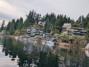
Waiparous’s real value isn’t the village itself but what it opens the door to. It’s the nearest community to the Ghost-Waiparous Public Land Use Zone (PLUZ) — about 1,500 square kilometres of Crown land in the foothills of the Rockies, roughly 140 km northwest of Calgary. The zone borders Banff National Park, Kananaskis Country and Don Getty Wildland Provincial Park, and the terrain climbs gradually from flat prairie into the front ranges of the Rockies. The nearest town with shops, fuel and everything else is, again, Cochrane, so it’s worth stocking up there. You’ll recognize the entrance to the zone itself by a blue bridge and the Mountain Aire Lodge, and on the way in from Cochrane lies the Ghost Lake reservoir — a calm, yacht-and-boat-dotted spot where many people stop to stretch their legs (we pulled in there for a coffee too).
The zone was formally created in 2006 to manage the area’s runaway popularity with off-highway-vehicle users, and today it draws over 90,000 unique visitors a year. So “wild” here doesn’t mean “empty” — in season and on weekends it can get busy, especially in the parts open to quads.
A legend that raises the hairs
Then there’s the name “Ghost,” which recurs all across the area: Ghost River, Ghost Lake, the PLUZ itself. It comes from a Stoney Nakoda legend in which a spirit was said to walk the river gathering the skulls of warriors killed in an old battle between nations. The reputation was grim enough that the Palliser Expedition mapped the river as Deadman’s River back in 1860. Keep that in mind, and the evening quiet of these forests — no lights, no signal around you — takes on a very different flavour.
What you can do here
For all the village’s small size, the surroundings are a vast playground:
- Camping. The Ghost has both serviced sites in Provincial Recreation Areas and “random” backcountry camping — but only in designated “camping nodes,” and you’ll need a Public Lands Camping Pass. The rule is ironclad: arrive self-sufficient, and pack out everything you bring.
- Hiking and backpacking. Over 1,600 km of old seismic lines thread the zone, walked, cycled and skied. A gem for hikers is “The Back 40,” a network of volunteer-built trails where quads are banned, including a 14-km loop up onto a ridge.
- Off-highway vehicles (OHV). The Ghost is one of Alberta’s prime areas for quads and dirt bikes — but only on designated trails.
- Fishing. Alberta fishing regulations apply, and importantly, the local rivers are critical habitat for the threatened westslope cutthroat trout, so keep your “wheels out of the water” and tread carefully.
- Horses and winter. Horseback riding is allowed (with rules on tethering), and in winter there’s ski touring, snowshoeing and fat biking.
Wildlife and safety
This is genuine bear country: grizzlies (a threatened species in Alberta), black bears, cougars, coyotes and wolves all live here. A local highlight of its own are the free-roaming herds of feral horses that graze the cutlines and clearings; catching sight of them up close is a small stroke of luck that keeps many people coming back. So bear spray isn’t a nicety but a necessity: carry it on you, make noise on the trail, and never leave food out. A few more warnings: there’s essentially no cell signal deep in the zone, roads past the village quickly turn to rough gravel (for the remote sections you’ll want a 4×4 with decent clearance), and there’s no avalanche control in winter — you manage that risk yourself.
And honestly, on a sore point: unchecked OHV traffic has visibly strained parts of the Ghost’s ecosystems, enough that the province has poured money into enforcement. So the basic ask is simple — stay on marked trails, take everything out with you, and leave this country cleaner than you found it.
Why we’d recommend staying here
We didn’t rough it — we stayed in a rented camper right on a local family’s property, which turned out to be the perfect compromise between comfort and wilderness. Morning here is its own experience: standing in the first sun among forest, mountains and the sound of the river, you realize you gained rather than lost by choosing lodging away from Banff. And one quiet detail stayed with us most: walking the surrounding woods, we came across a modest memorial to the local settlers — and among the names were many Ukrainian surnames. An unexpected, and very moving, reminder of how far our diaspora reached.
When to go
The area is open year-round, but for a first visit, summer and early autumn are best: warm, dry trails, cool rivers. Long weekends can get busy (especially where the quads run), so if you’re after quiet, aim for weekdays. Winter has its own beauty, but that’s for the well-prepared.
| Detail | Info |
|---|---|
| What it is | Summer village, ~57 residents (2021), est. 1986 |
| Location | Hwy 40, by Waiparous Creek, ~32 km west of Cochrane |
| Nearby | Ghost-Waiparous PLUZ — ~1,500 km² of Crown land |
| Activities | Camping, hiking, backpacking, OHV, fishing, horses, winter sports |
| Signal | Essentially none deep in the zone |
| Safety | Grizzly, black bears, cougars, wolves — bear spray essential |
| Roads | Gravel; remote sections need 4×4 + clearance |
| Nearest shops | Cochrane |
| Season | Year-round; best in summer–early autumn |
Read next: our Winnipeg-to-Banff road trip and the route’s first mountain road, the Icefields Parkway.