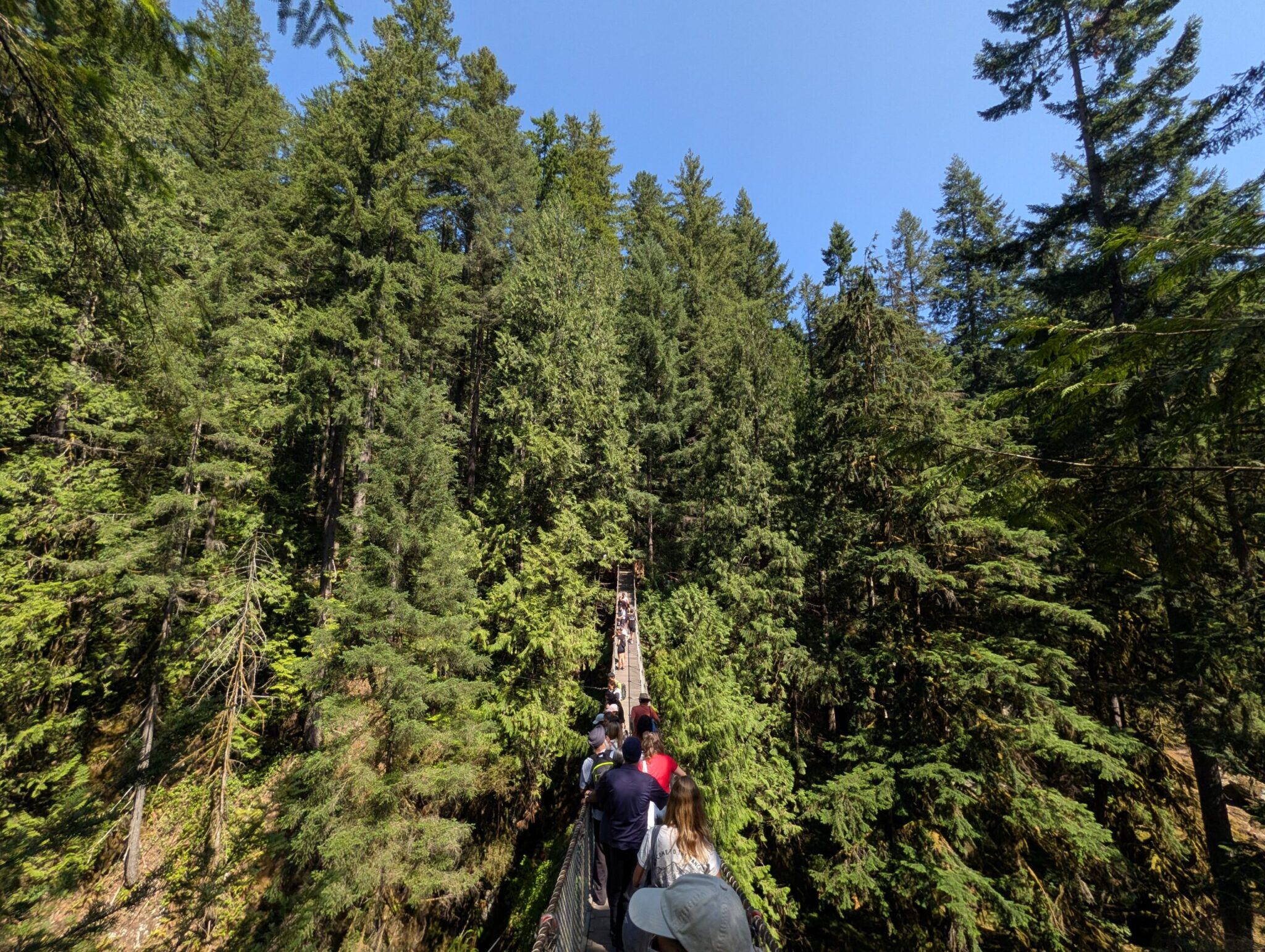



The largest lake in Yoho — and, to us, the most underrated.
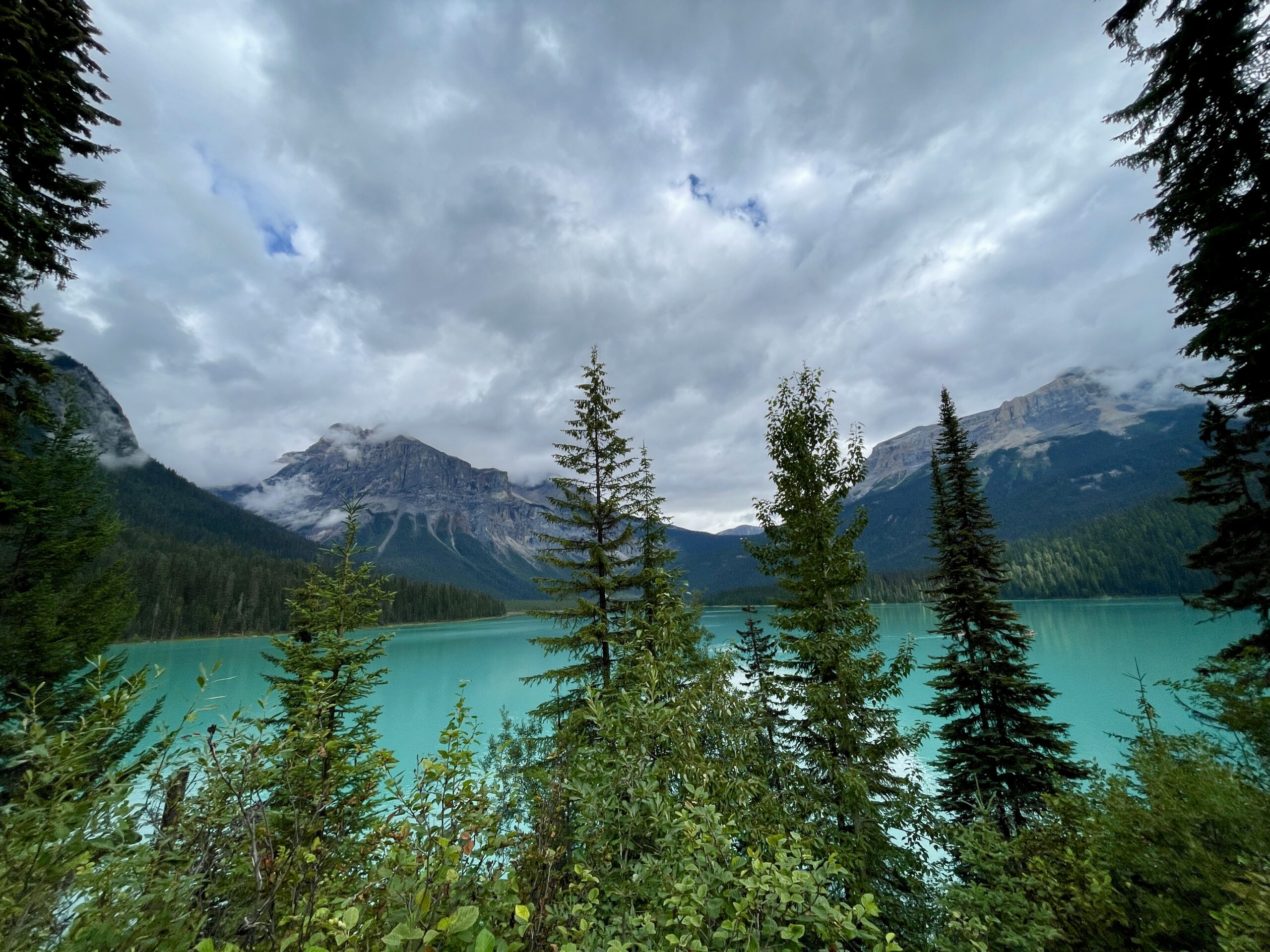
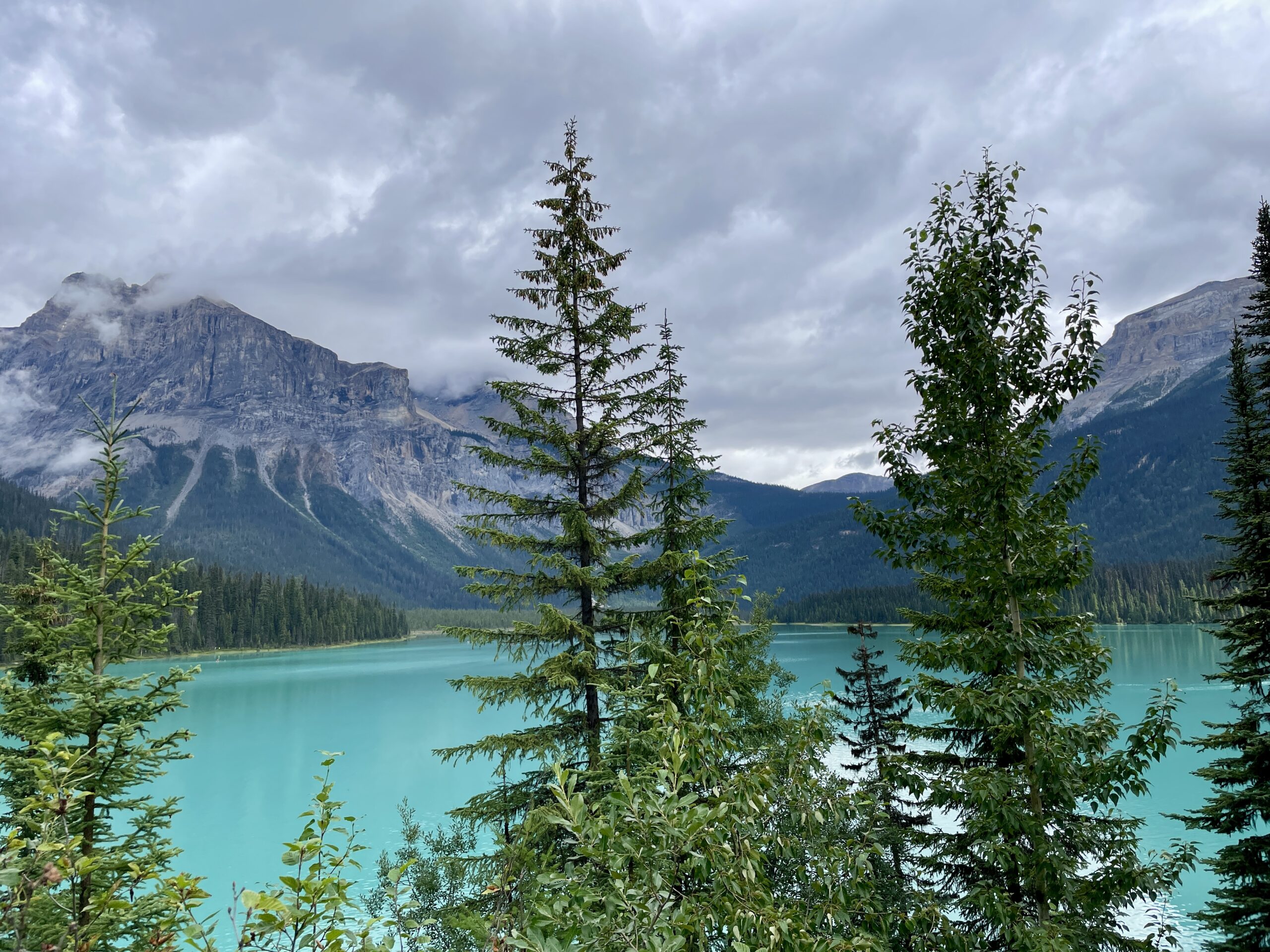
Emerald Lake is the largest of Yoho National Park’s sixty-plus lakes, in British Columbia, about 40 minutes (roughly 39 km) west of Lake Louise, near the town of Field. It wasn’t in our original plan — we added it on the spot, on day three of our Winnipeg-to-Banff road trip, because it kept coming up in recommendations so insistently. And we didn’t regret it: it impressed us even more than Lake Louise, with noticeably fewer people. Yoho itself is a smaller, less-hyped park than neighbouring Banff, so even at the height of the season it breathes more easily here — and that’s a big part of its charm.
History: the same Tom Wilson
This lake shares its history with Lake Louise — and even the same man. In 1882 it was “discovered” by the same Canadian Pacific guide, Tom Wilson, who a year earlier had come upon Lake Louise — and, as the story goes, he stumbled onto it while chasing runaway horses. For its rich colour Wilson named it “Emerald.” Incidentally, the word “Yoho” is a Cree expression of awe and wonder — and seeing this lake, you understand why. On the shore stands the historic Emerald Lake Lodge, built by the railway back in 1902 from hand-hewn timber to house the first tourists; today it’s a cosy resort with lovely cabins that we made a note of for a future visit.
Why it’s green — and where the orchids come from
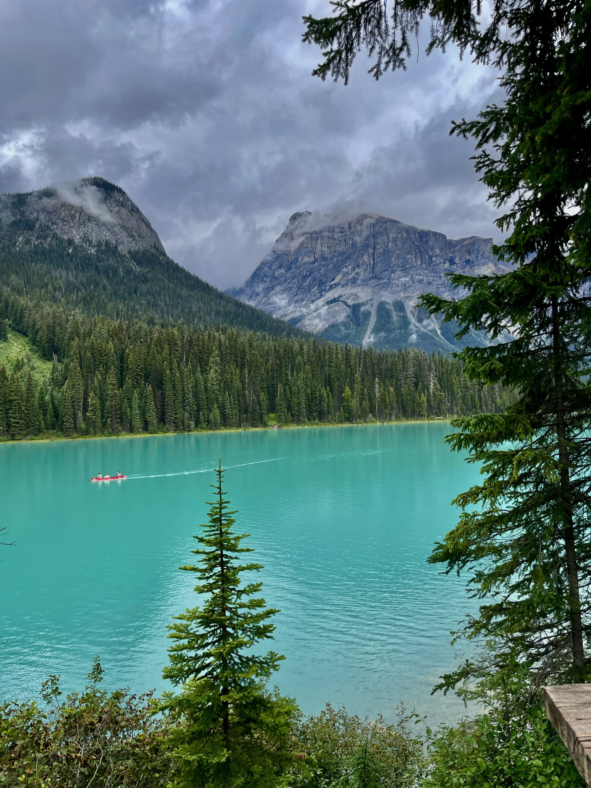
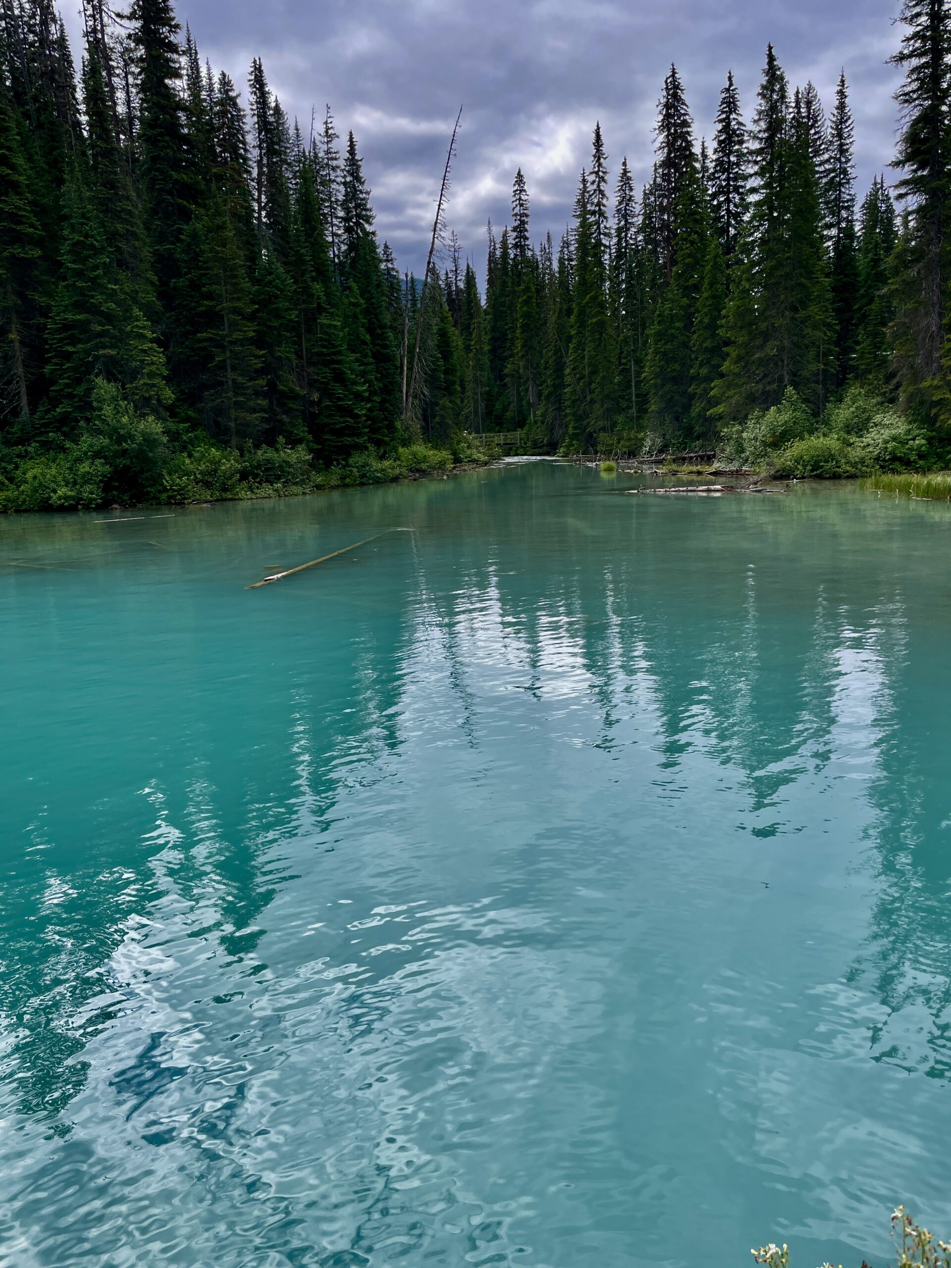
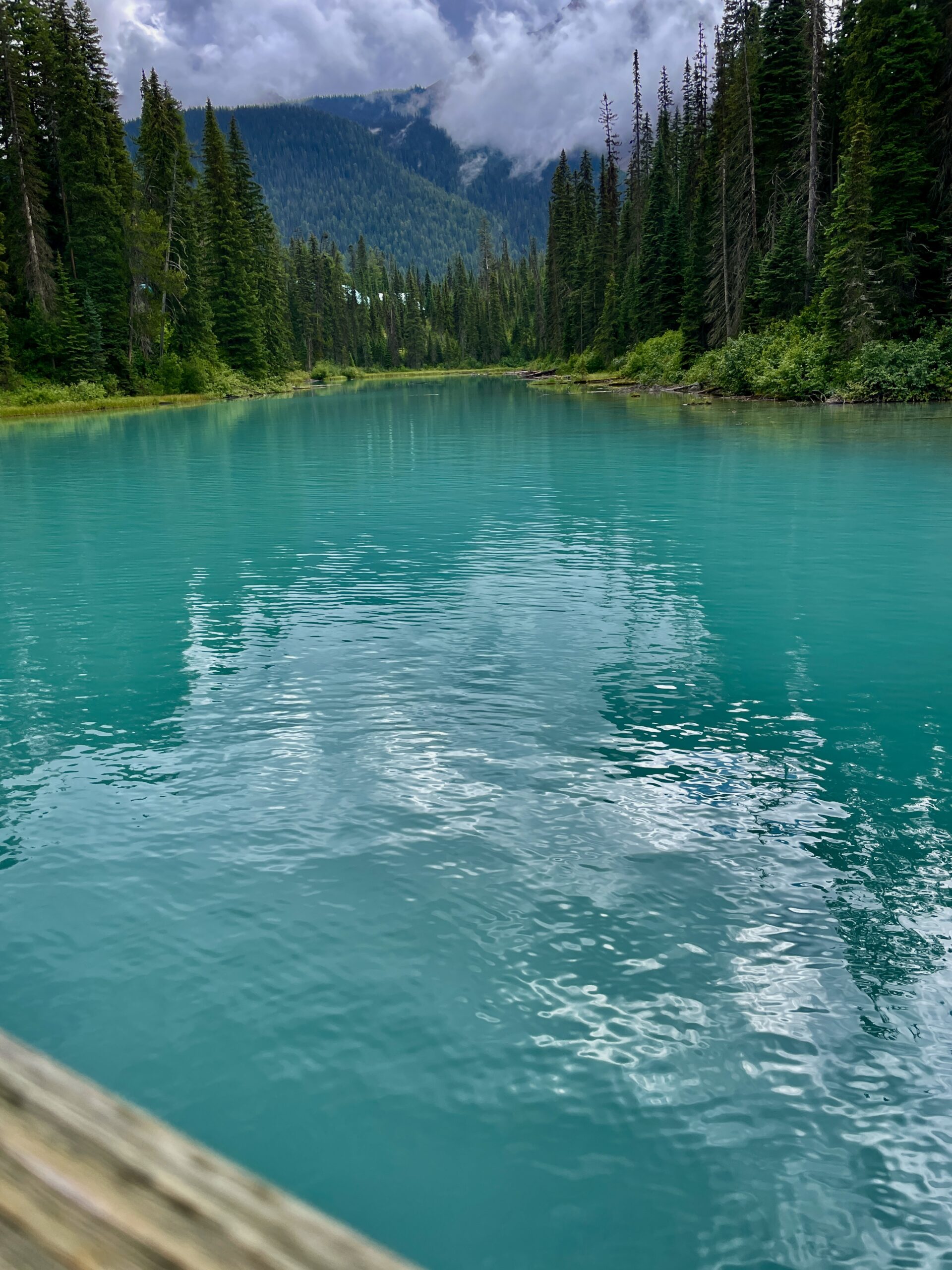
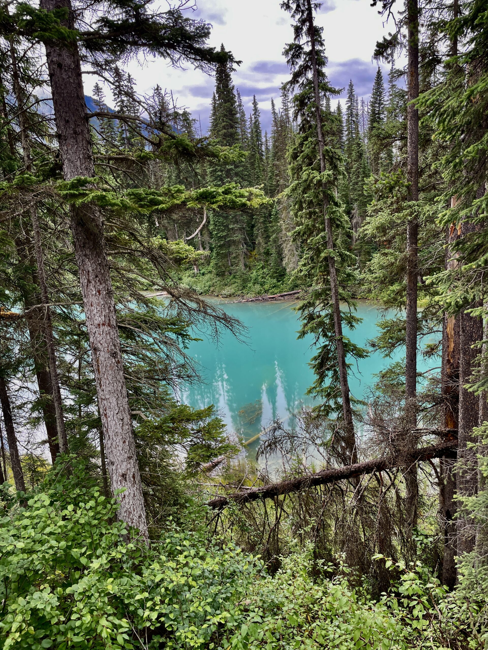
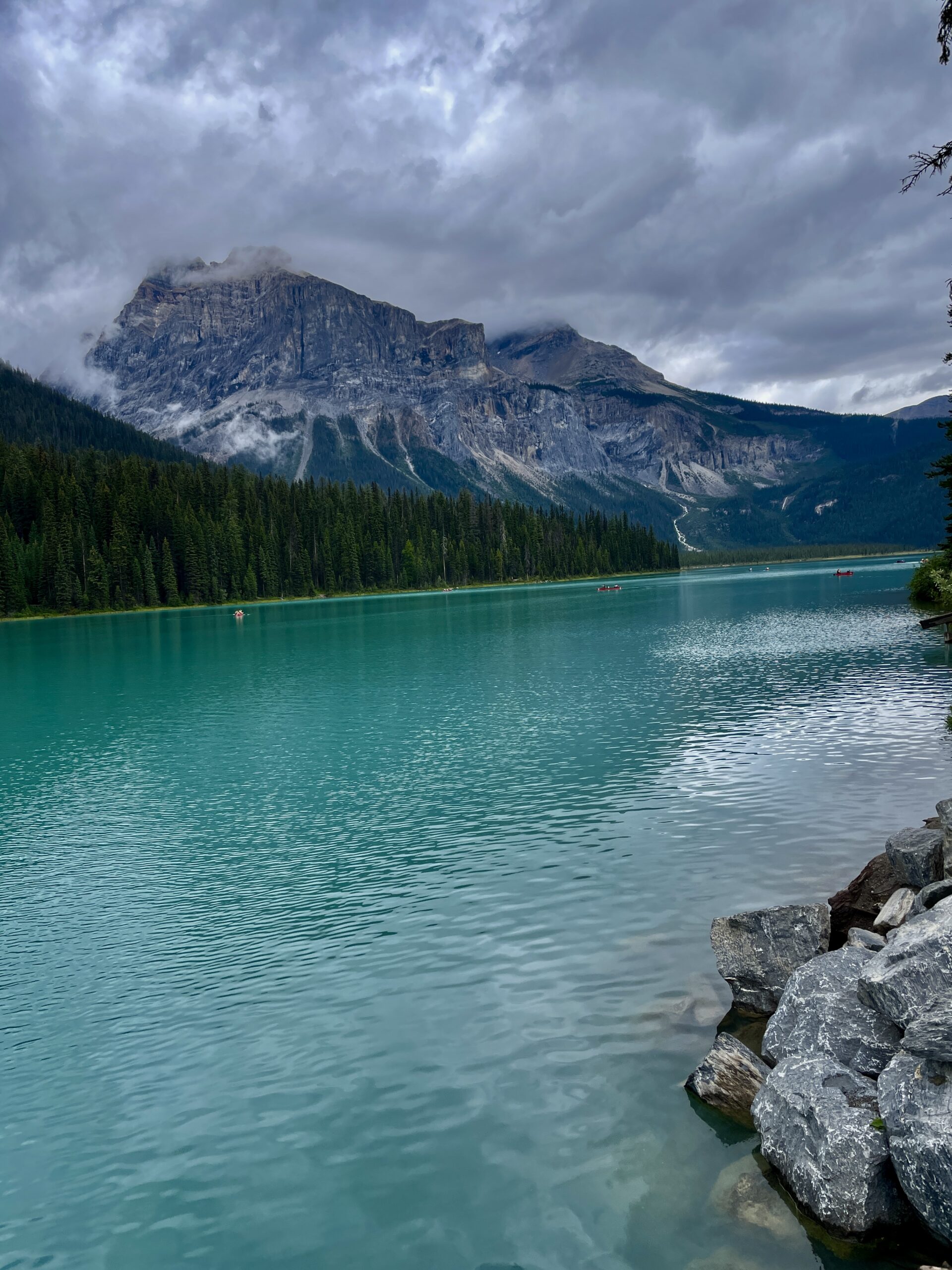
The colour, as with the Banff lakes, comes from glacial “rock flour” — the finest powder suspended in the water, scattering the light. But Emerald has a twist: it sits relatively low (about 1,300 metres) and is ringed by mountains, so a humid, almost greenhouse-like microclimate has formed here. Because of it, the surrounding vegetation is unusual for the Rockies — wild orchids even grow here, which you won’t find elsewhere nearby. Emerald also stays frozen longer than its neighbours — roughly November to July — so the rich green of the water is on show for a shorter window.
A natural bridge and ancient fossils
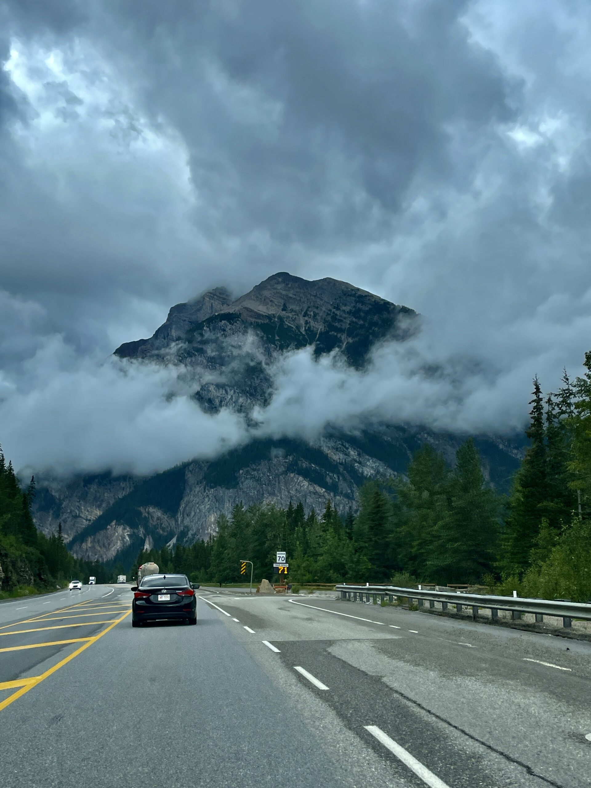
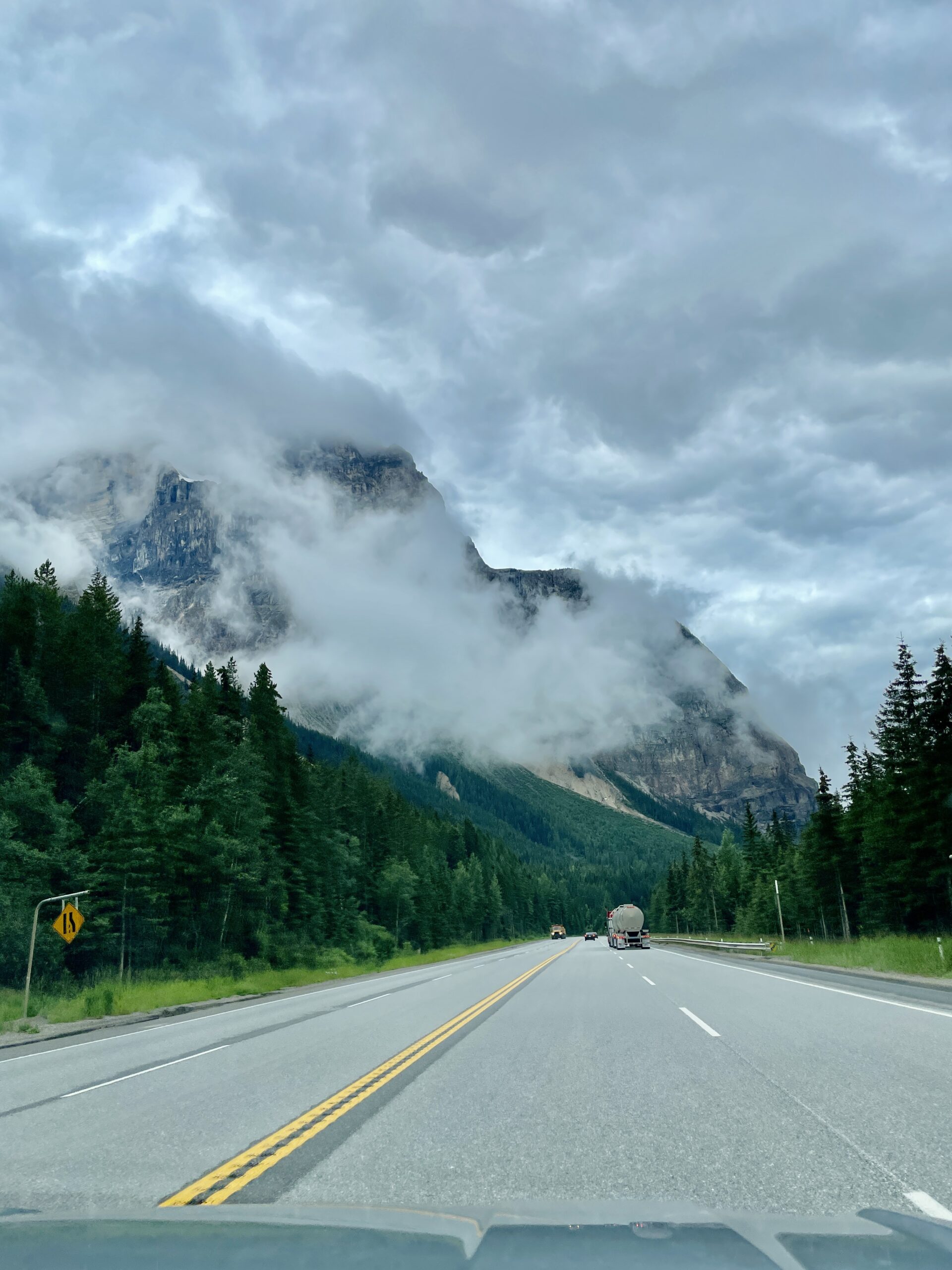
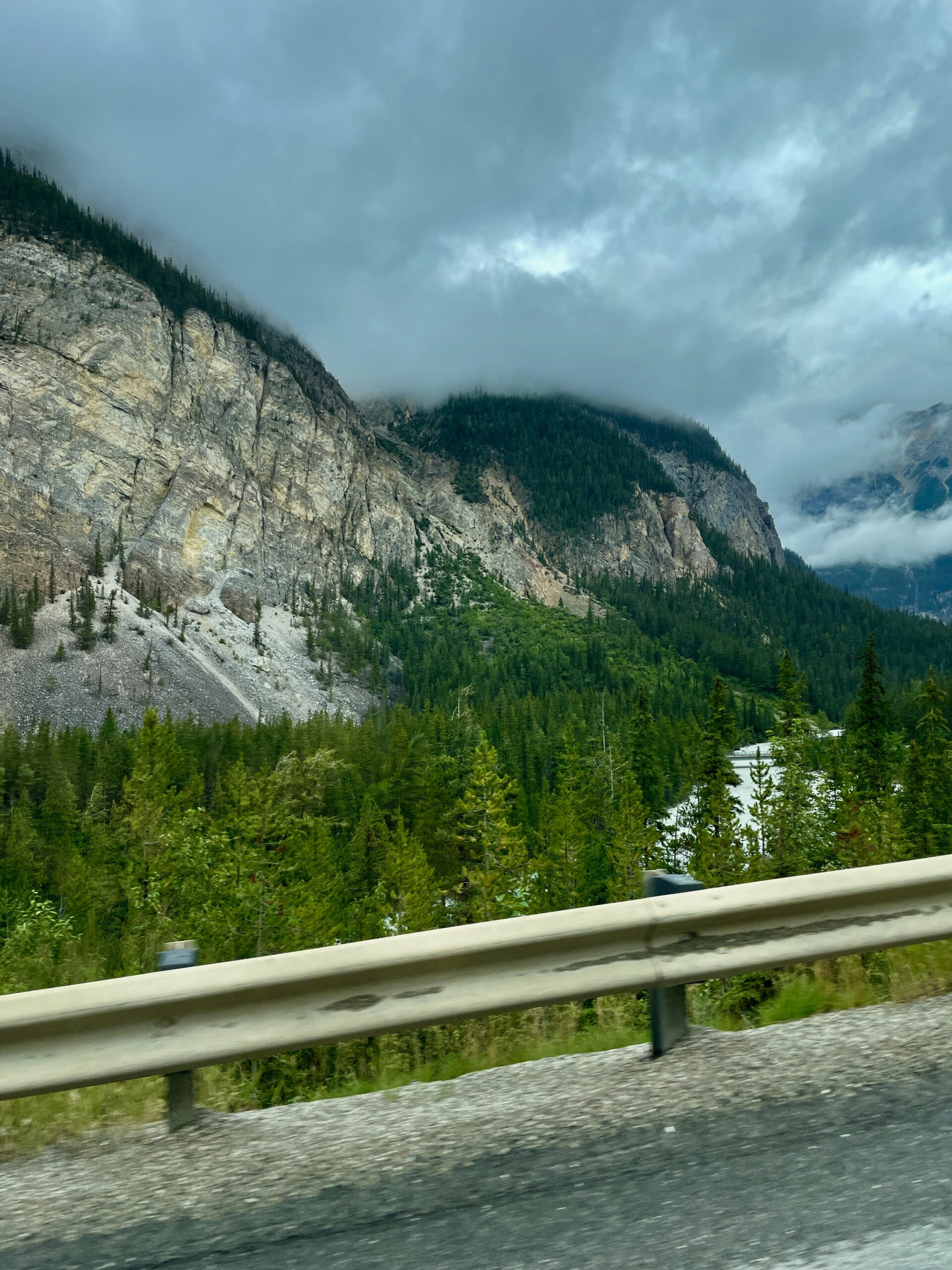
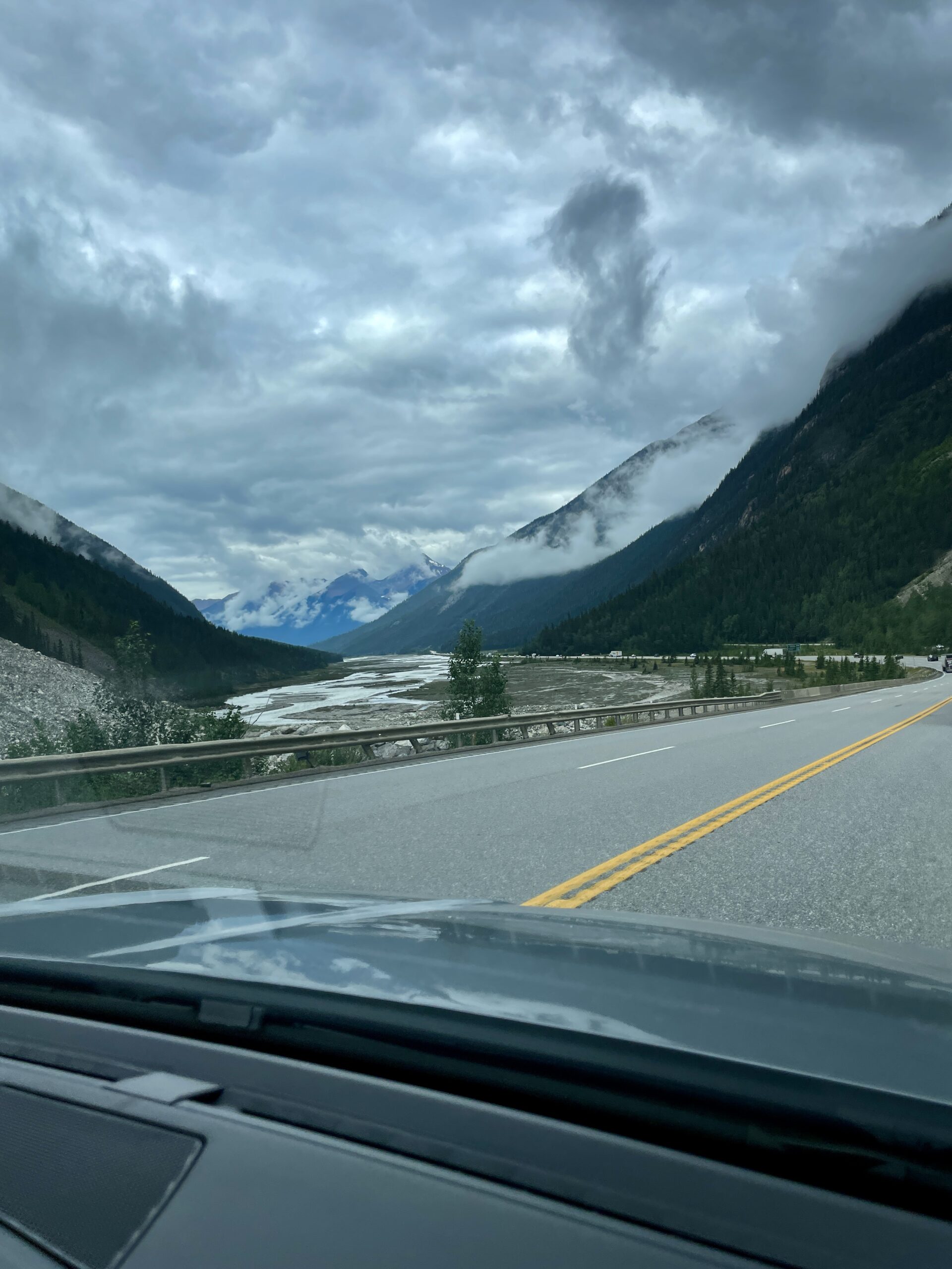
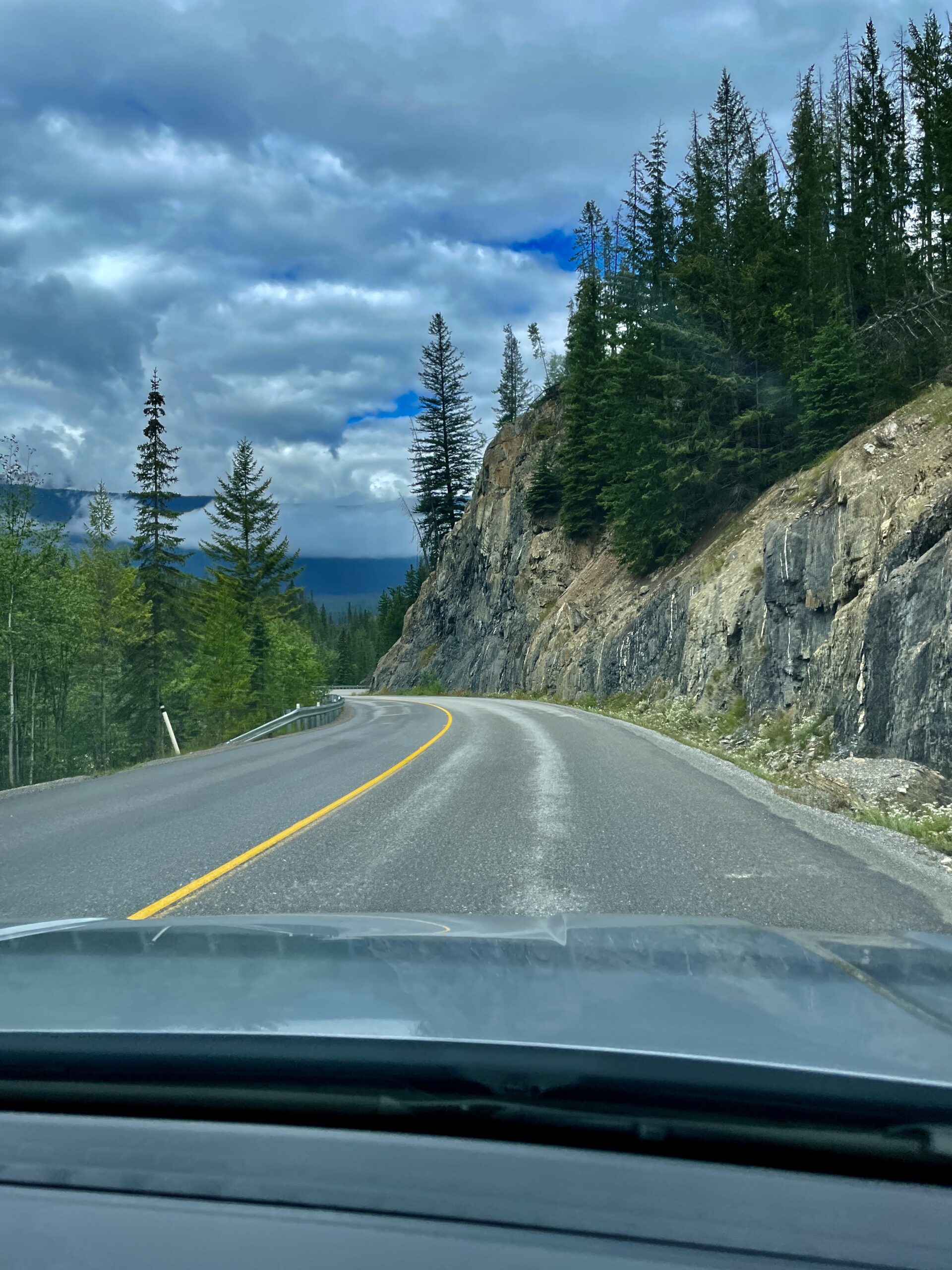
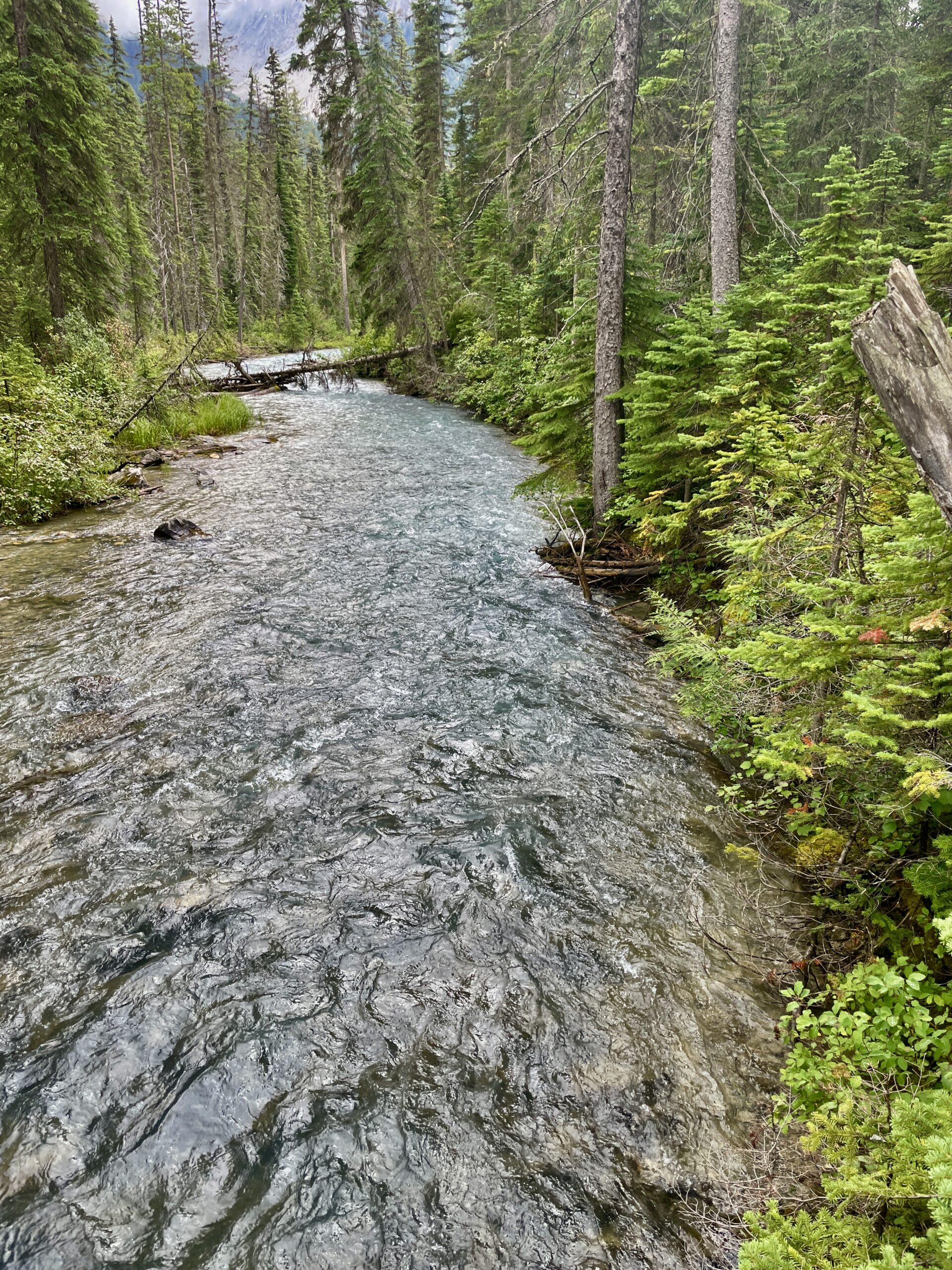
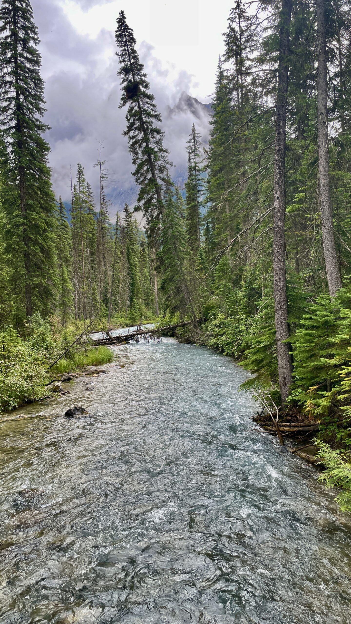
The road to the lake (about 9 km of pavement branching off the Trans-Canada) is worth attention in itself. Along the way you’ll pass the Natural Bridge — a natural stone “bridge” that the churning Kicking Horse River has carved into the rock over millennia; there are viewing platforms and it’s worth a few minutes’ stop. And this corner of Yoho is world-famous for the Burgess Shale — one of the planet’s most important fossil sites, preserving imprints of soft-bodied creatures over 500 million years old (some of it is visited on guided hikes). The fossils were discovered in 1909 by Charles Walcott, and today the Burgess Shale is a UNESCO World Heritage Site. One more fun fact for trivia lovers: Mount Burgess, which rises over this area, once featured on the Canadian ten-dollar bill.
What to do here
- A walk around the lake. The main activity is a flat trail about 5 km long that circles the whole lake. It’s easy, family-friendly, and dogs are allowed on leash (unlike the Moraine Lake shuttles). An hour to an hour and a half at a gentle pace shows you the lake from every side.
- Canoeing. The lodge has a boathouse with canoe rentals; paddling across that emerald water toward the foot of the mountains is a treat of its own — and another classic “Canadian” shot.
- A tougher route. For the more active, a trail branches off toward Emerald Basin — a glacial cirque with waterfalls; that’s a more serious hike with real elevation gain.
- Nearby. A short trail from the parking lot leads to Hamilton Falls, and beyond it, for the hardier, a steeper climb up to Hamilton Lake.
- Lodge and dining. Even without an overnight stay, it’s a pleasant place to drop in for a coffee or lunch with a view over the water.
- Winter. In winter, ski tracks are set around the lake and people snowshoe, and the lodge stays open year-round — it’s one of the quietest winter spots in the region.
Our experience
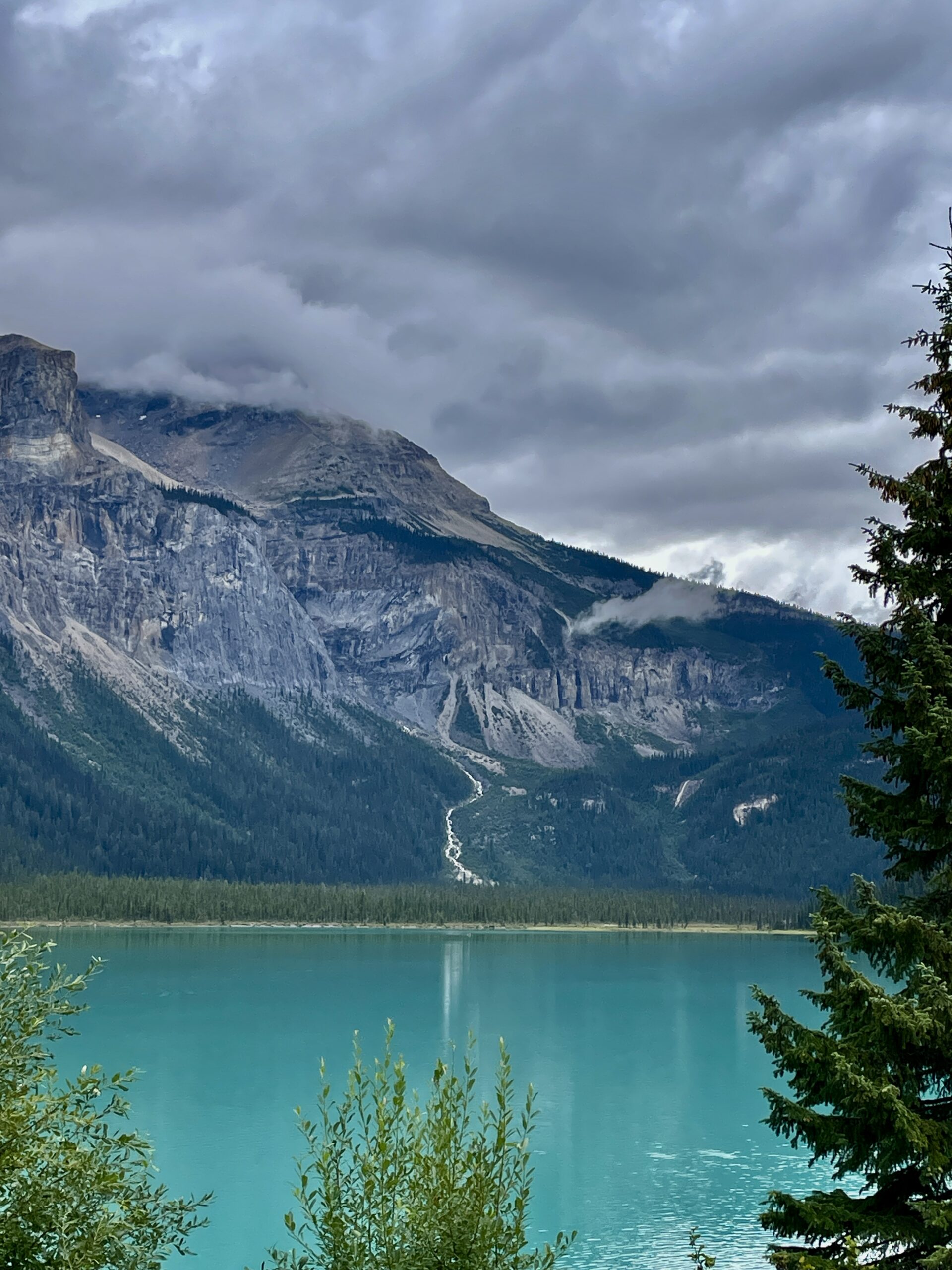
We arrived here in the afternoon, after Lake Louise, and honestly we were bracing for a “just tick it off” stop. It went the other way: the lake grabbed us even more than its famous neighbour. We walked the shore, looked over the lodge cabins, admired the water — and best of all, here you could simply breathe, with no crowds and no scramble for a parking spot. If you’re on the fence about “one more lake” — go. And if you love photography, come in the morning: in calm weather the water turns to a mirror, reflecting the snow-capped President Range.
Practical tips
- Getting there. Turn off the Trans-Canada Highway just past the town of Field and drive ~9 km to the lake; from Lake Louise it’s about 40 minutes.
- Parking. There’s no big proper lot — everyone parks on the shoulder, so it works as a rolling queue: someone pulls out, you take their spot. Come in the morning to avoid circling.
- Dogs. Allowed, on leash.
- Facilities. The nearest café, gas and shop are in Field; stock up there.
- Entry. You need a Parks Canada pass (in summer, the Canada Strong Pass).
- Water. Icy, like everywhere here; swimming is more “for the sake of it” — canoeing is better.
When to go
For the greenest water and open trails, July through September (the lake thaws later than its neighbours). For quiet, a weekday morning. For winter calm and skiing, December to March.
| Detail | Info |
|---|---|
| Where | Yoho NP, BC, near Field, ~40 min west of Lake Louise |
| Status | Largest lake in Yoho |
| History | “Discovered” by Tom Wilson, 1882; Emerald Lake Lodge, 1902 |
| Notable | Humid microclimate, wild orchids; frozen ~November–July |
| On the way | Natural Bridge on the Kicking Horse River; Burgess Shale nearby |
| Activities | Lake loop trail (~5 km), canoeing, Emerald Basin, winter skiing |
| Dogs | Allowed, on leash |
| Season | Summer (best July–September) |
Read next: nearby Lake Louise and the whole Winnipeg-to-Banff road trip.