

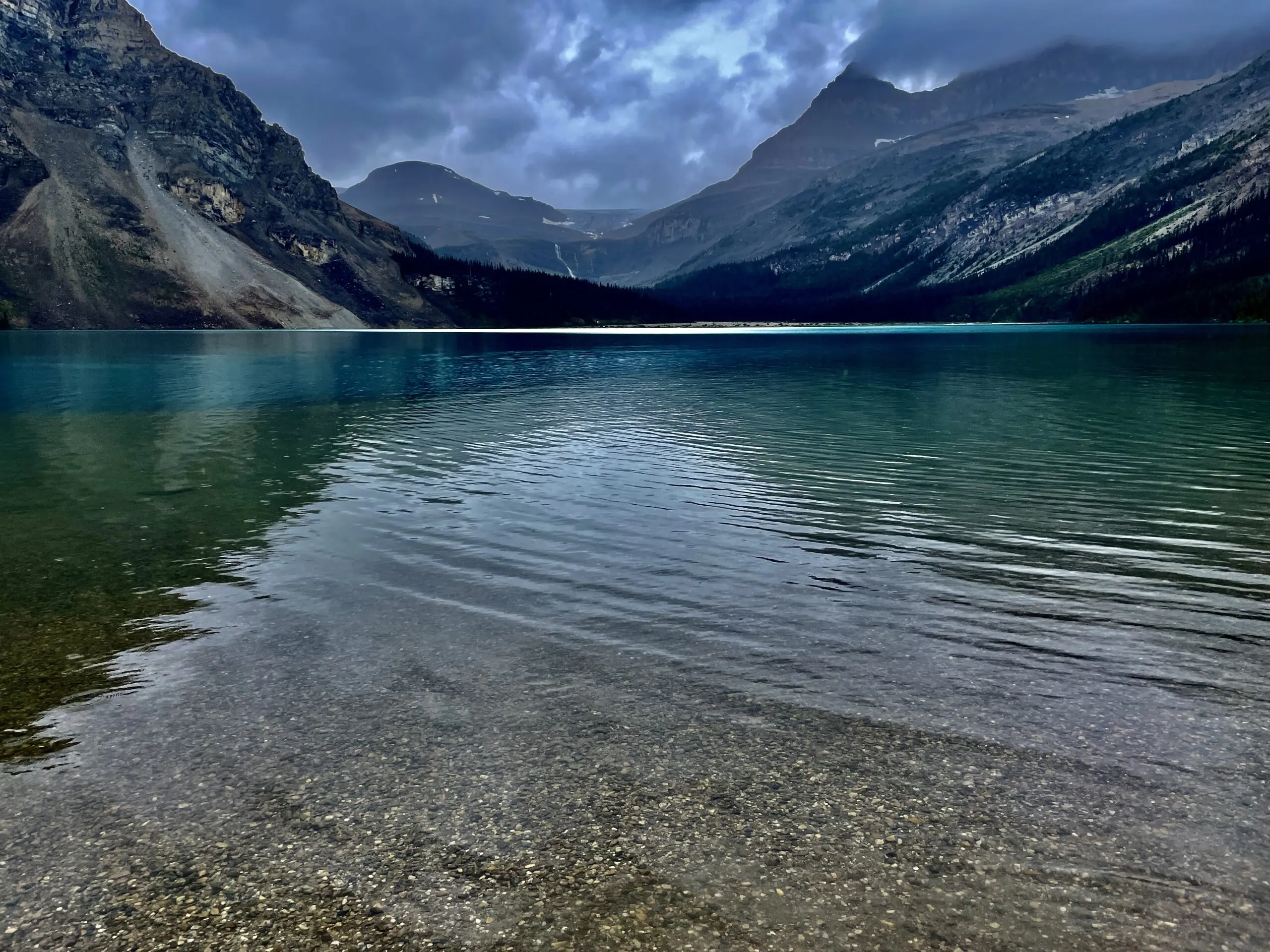
The turquoise headwaters of the Bow River, a historic lodge among the peaks, and one of the easiest and loveliest stops on the road.
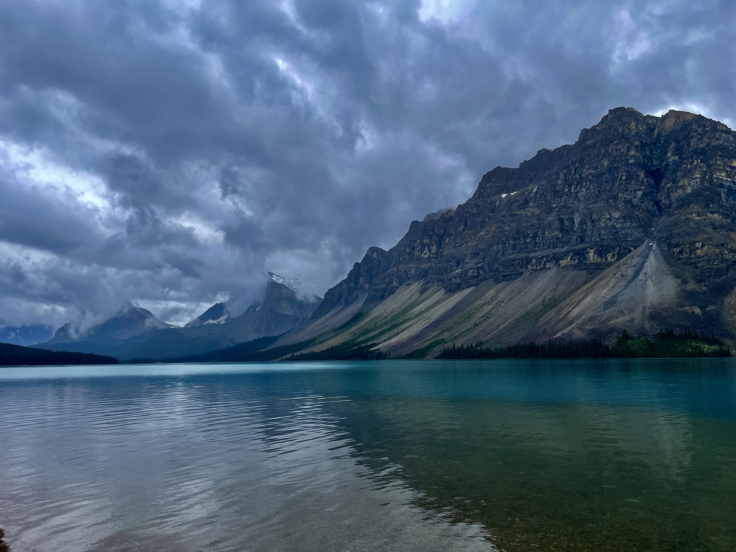
Bow Lake is one of the largest and most picture-perfect lakes in Banff National Park (over 3 km² in area, about 3.2 km long) at 1,920 metres, on the Icefields Parkway about 37 km north of Lake Louise and just a few kilometres south of Peyto Lake. We stopped here in the rain on day two of our Winnipeg-to-Banff road trip: got out a thermos of hot coffee and strolled the shore — and it turned out to be one of the quietest, most pleasant moments of the whole day.
Where the name comes from
There’s a nice story behind such a plain name. “Bow” means exactly that — a bow: long, flexible reeds grew along this river’s valley, which First Nations peoples used to make bows, and that’s where the river got its name, and from it the lake, glacier and mountain pass (in Cree it was “ma-na-cha-ban”). The Cree and Stoney also called the lake something simpler — the “cold water lake,” which we can confirm first-hand.
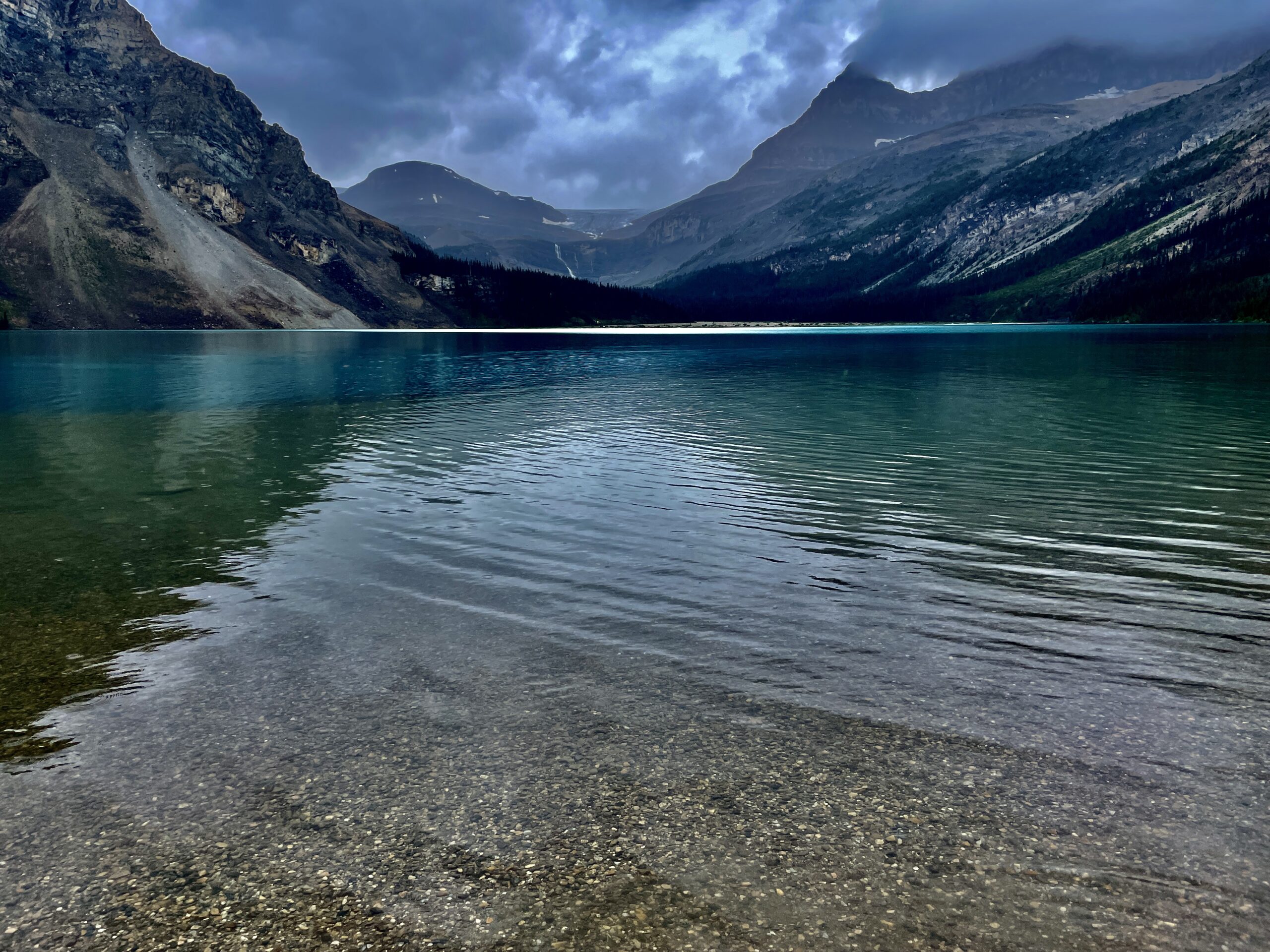
The birthplace of the Bow River
This lake’s headline feature isn’t only its colour. Bow Lake is effectively the cradle of the Bow River: from here, fed by Bow Glacier Falls and the Bow Glacier, it begins its 587-km journey. And here’s a fact we Manitobans enjoy: after running through Banff, Canmore and Calgary, this water keeps heading east and, via the Saskatchewan River system, eventually reaches our own Lake Winnipeg before draining to Hudson Bay. So the lake you’re standing beside in the Rockies and the lake back home are linked by the same water. The turquoise, as with its neighbours, comes from glacial rock flour off the Bow Glacier.
Num-Ti-Jah Lodge and Jimmy Simpson
On the north shore stands a historic lodge now called The Lodge at Bow Lake, and formerly Num-Ti-Jah Lodge (a Stoney word meaning “pine marten”). It was built by Jimmy Simpson — English by birth, who arrived here in 1897 as a 19-year-old and became one of the most renowned guides and outfitters in the Rockies. Construction began in 1937; the lodge opened in 1940 with six rooms and by 1950 had grown into a handsome 16-room log-and-stone hotel that still holds the atmosphere of that era. It’s one of the last “backcountry lodges” from the age of the Rockies’ first explorers. To this day you can not only grab a coffee here but stay the night — a rare chance to sleep in a genuine historic lodge right on the shore of an alpine lake.
And here’s a detail that stitches all the local lakes into one story: Simpson once worked side by side with “Wild” Bill Peyto — the very man that nearby Peyto Lake is named for. And the mountain above the lodge, Mount Jimmy Simpson, is named for Jimmy himself.
The mountain with a “crow’s foot”
Across the lake rises Crowfoot Mountain (3,055 m), and on its flank sits the Crowfoot Glacier — the “crow’s-foot glacier.” Its lower part once genuinely resembled a three-toed crow’s foot, but warming has melted one of the “toes,” so it now looks more two-toed. It’s a vivid and slightly sombre reminder of how fast the glaciers of the Rockies are retreating.
What to do here
- A shoreline stroll. The easiest option: from the parking lot a flat path runs along the water for about a kilometre in each direction — perfect for everyone, kids included.
- The Bow Glacier Falls trail. The classic route (about 9 km round trip, ~155 m of gain, 3–4 hours) follows the shore to the foot of the falls. Important: as of 2026 this trail is closed due to a rockslide — always check the Parks Canada bulletins before you go.
- Canoeing. The lodge rents canoes in summer (those red canoes against the turquoise are a classic “Canadian” shot). It can get windy on the water.
- Winter. People snowshoe across the frozen lake, and the winter waterfalls and snow-clad Crowfoot Mountain are a treat for photographers.
- Photography. The best time is sunrise: the water is mirror-still with a perfect reflection of Crowfoot Mountain, and the first light sets the peaks aglow with alpenglow. The classic angle is by the footbridges near the lodge.
- For the well-prepared. The same parking lot is the start of more serious routes — to the ACC’s Bow Hut on the Wapta Icefield and the scramble up Mount Jimmy Simpson.
Our experience
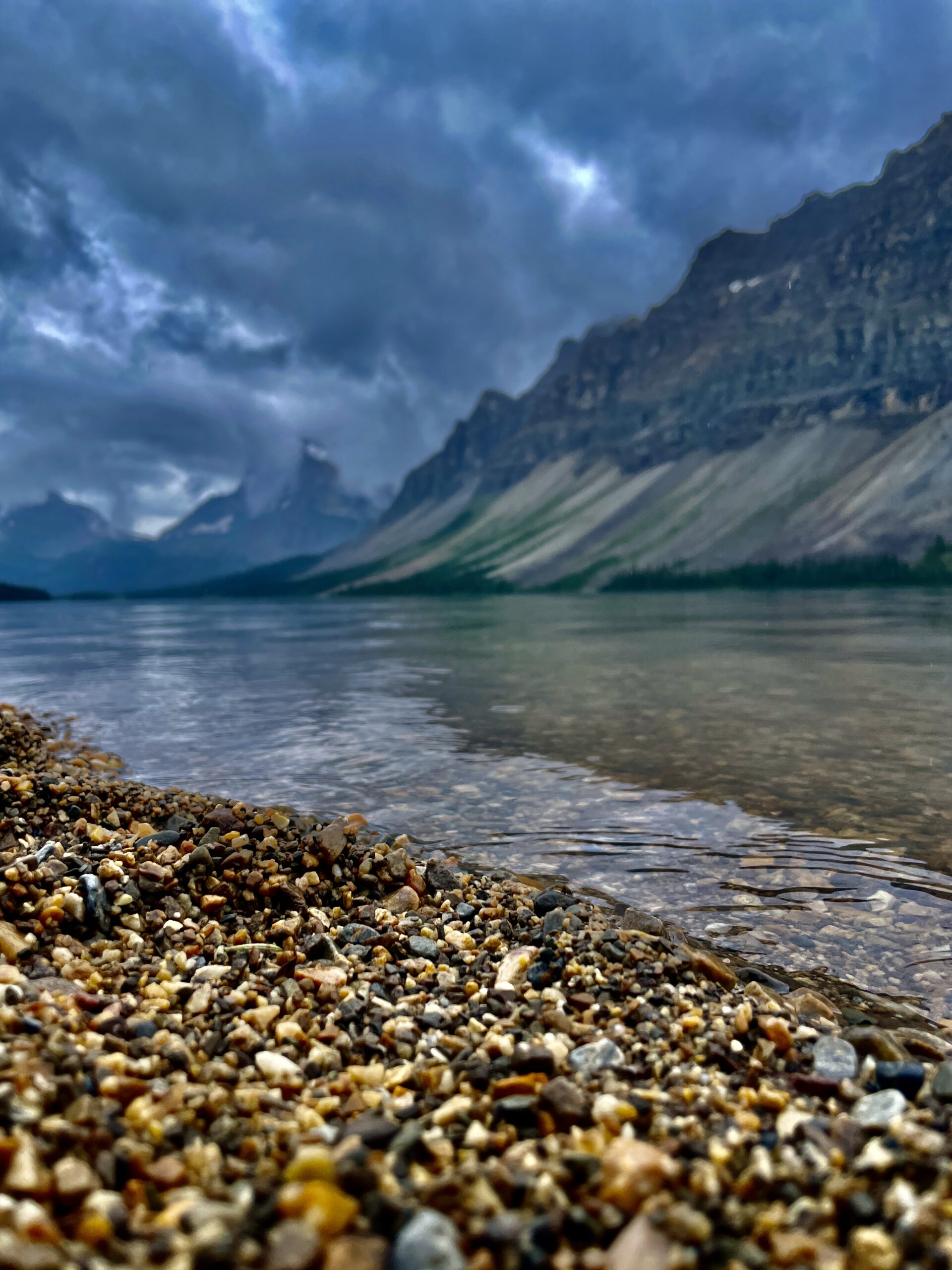
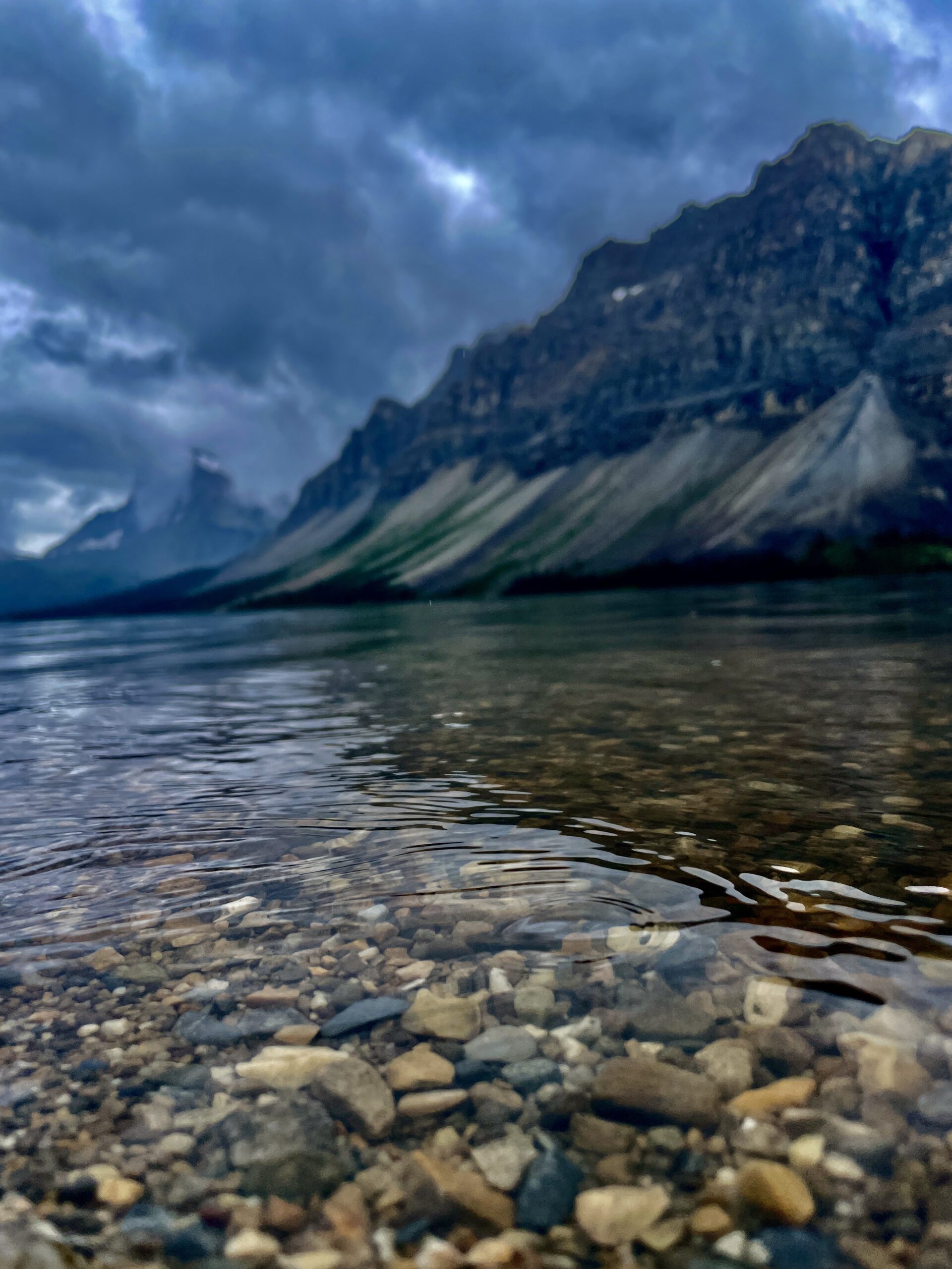
We arrived in a light rain, so mirror reflections were off the table — but there was that same quiet, hot coffee from the thermos and an almost empty shore. The water is icy even in warm weather (it’s glacier-fed), yet to our surprise a few brave souls were still swimming. An hour of easy strolling, and you no longer want to leave. After the scramble for a parking spot at Lake Louise, this lake feels like a breath of calm — it’s worth stopping here precisely for the quiet.
Practical tips
- Parking is free (a large lot by the lodge) and rarely fills except on peak summer weekends. There are washrooms.
- Food. In summer a small café at the lodge serves coffee and snacks, but it’s safer to stock up back in Lake Louise — there’s almost no food further along the road.
- Entry. You need a Parks Canada pass (in summer, the Canada Strong Pass).
- Signal. There’s none on the Parkway — download offline maps.
- Fishing. Banff’s rules are strict and some waters are closed to angling, so check current Parks Canada regulations before you cast.
When to go
Best is June through September, when the lake is free of ice. For mirror shots, come at sunrise before the wind ruffles the water; in the evening, about an hour before sunset, the light is lovely too.
| Detail | Info |
|---|---|
| Where | Icefields Parkway, ~37 km north of Lake Louise |
| Elevation / size | 1,920 m; one of Banff’s largest lakes (~3.2 km) |
| Notable | Source of the Bow River (587 km, reaching Lake Winnipeg) |
| Colour | Bow Glacier + rock flour |
| History | Num-Ti-Jah Lodge, Jimmy Simpson, since 1937 |
| Trails | Shoreline (easy); Bow Glacier Falls (~9 km) — ⚠️ closed in 2026 |
| Facilities | Washrooms, lodge café (summer), free parking |
| Season | June–September; snowshoeing in winter |
Read next: nearby Peyto Lake, Lake Louise and the whole Winnipeg-to-Banff road trip.