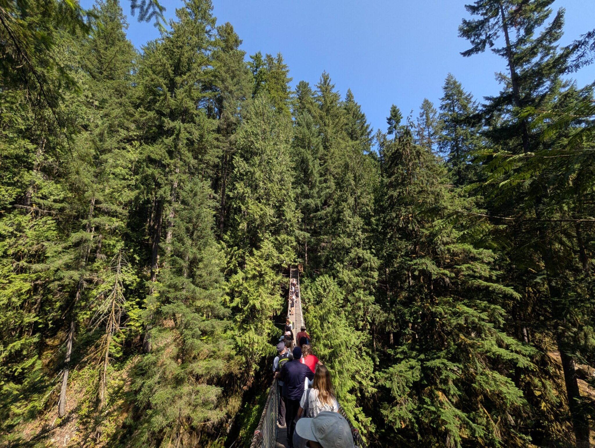



A 54-metre “Labour of Love,” a channel, a tubing run and 28 km of Trans Canada Trail in one quiet town.
Pinawa is a small town in southeastern Manitoba that packs in a surprising amount for a single day: a suspension bridge, a network of trails, a channel float and a stretch of the national Trans Canada Trail. How we spent a full day here is in our story about the Pinawa day trip from Winnipeg. This is the guide to the place itself.
What is the Pinawa suspension bridge?
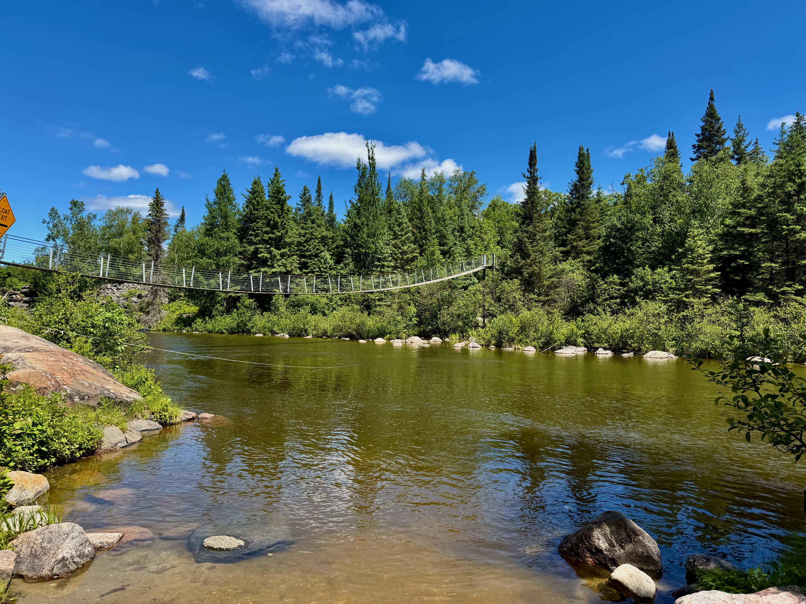
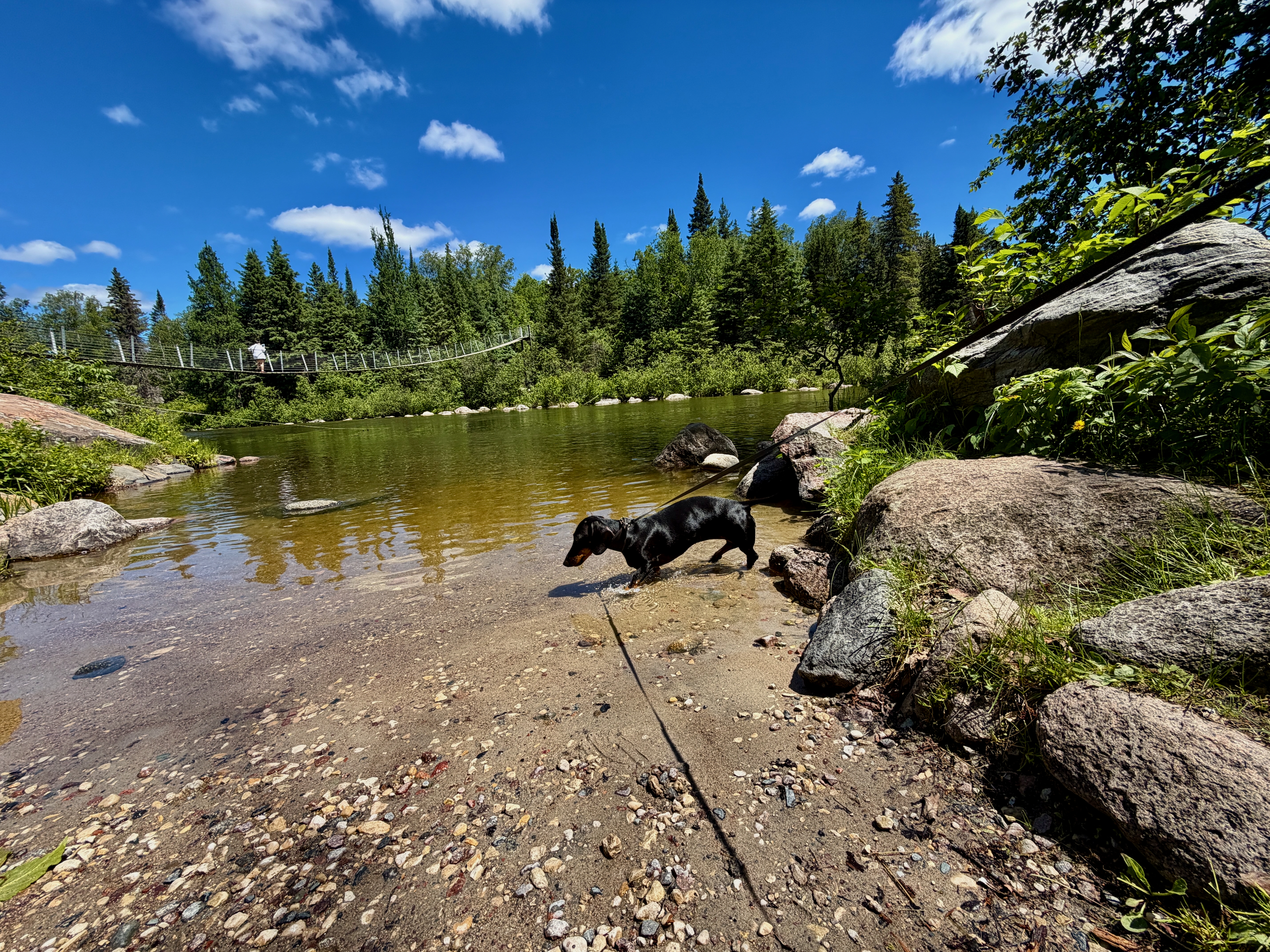
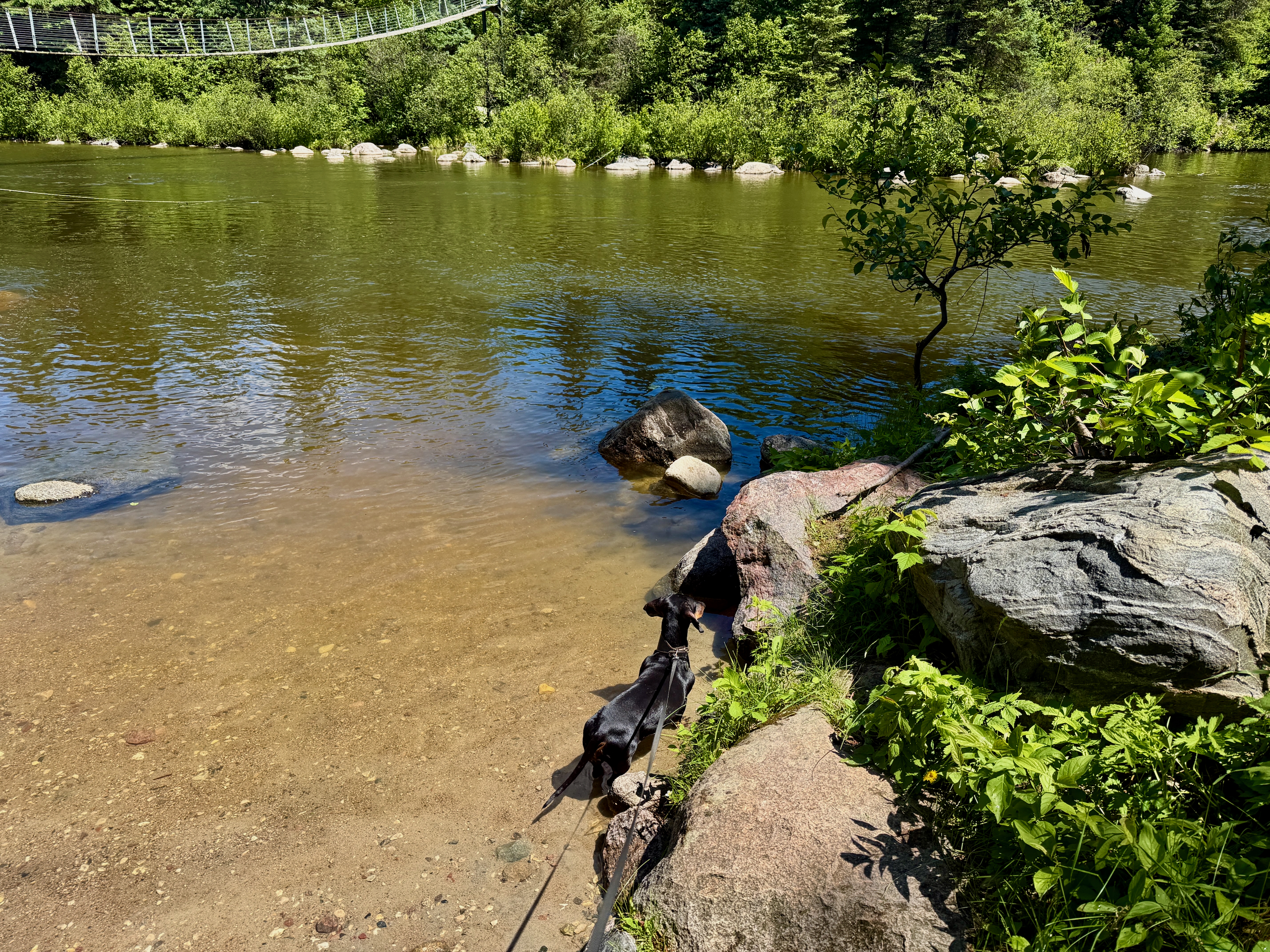
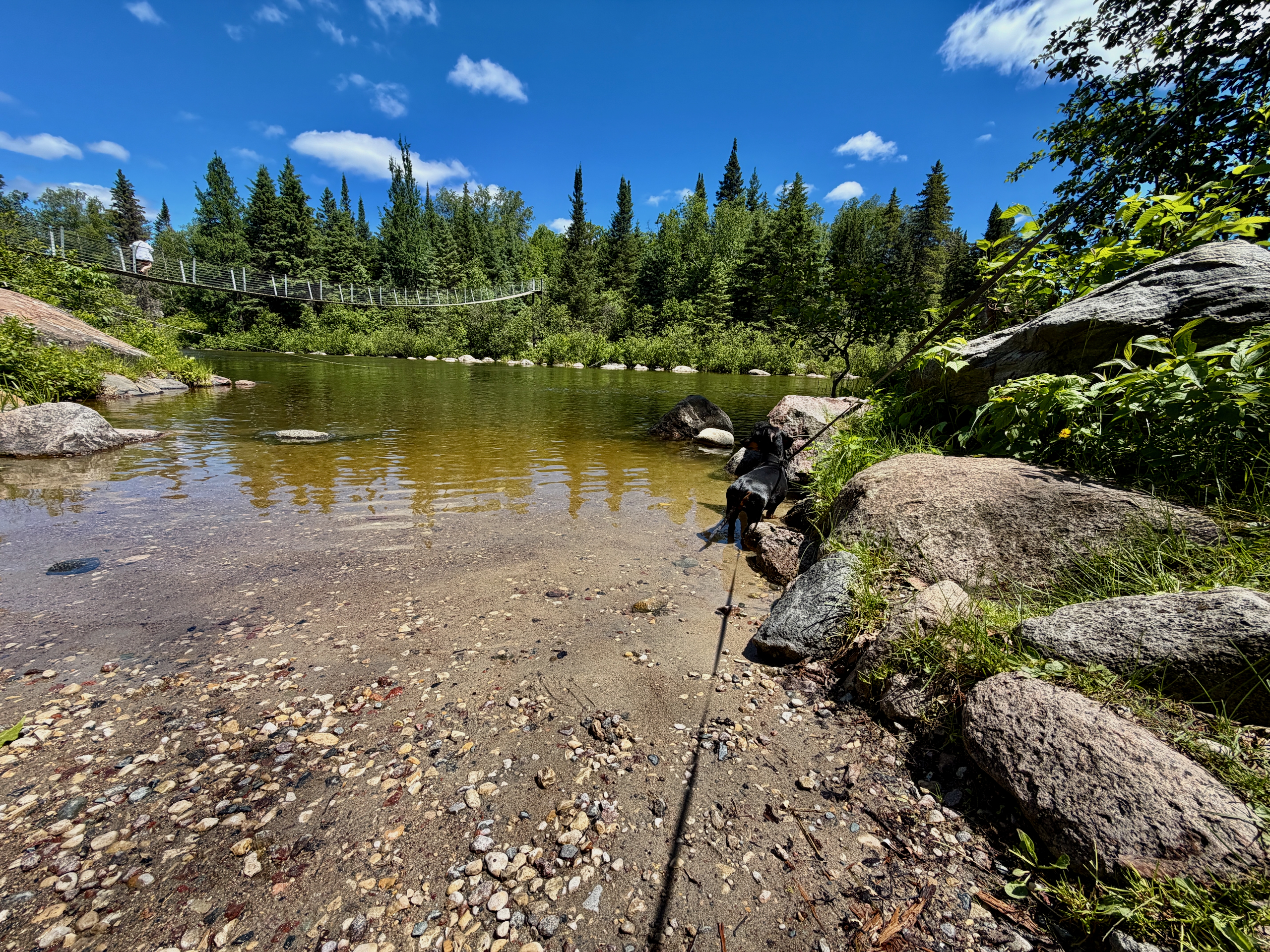
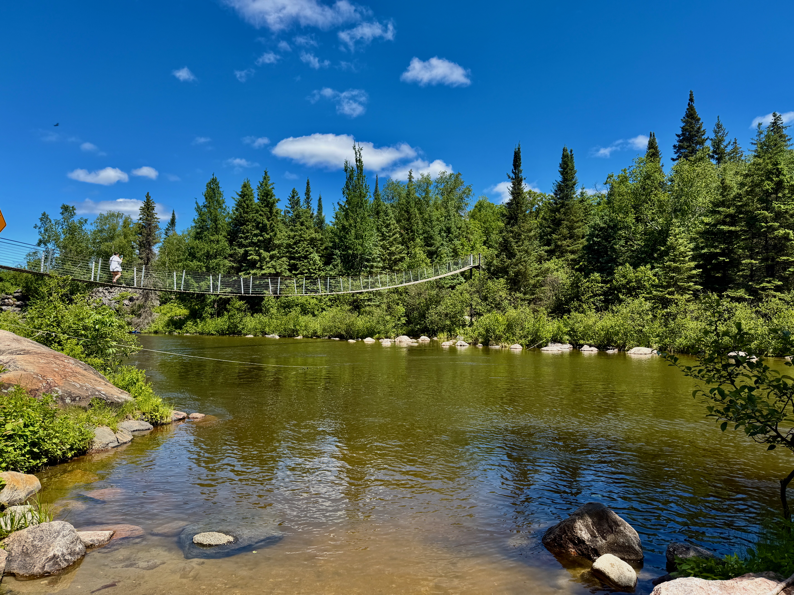
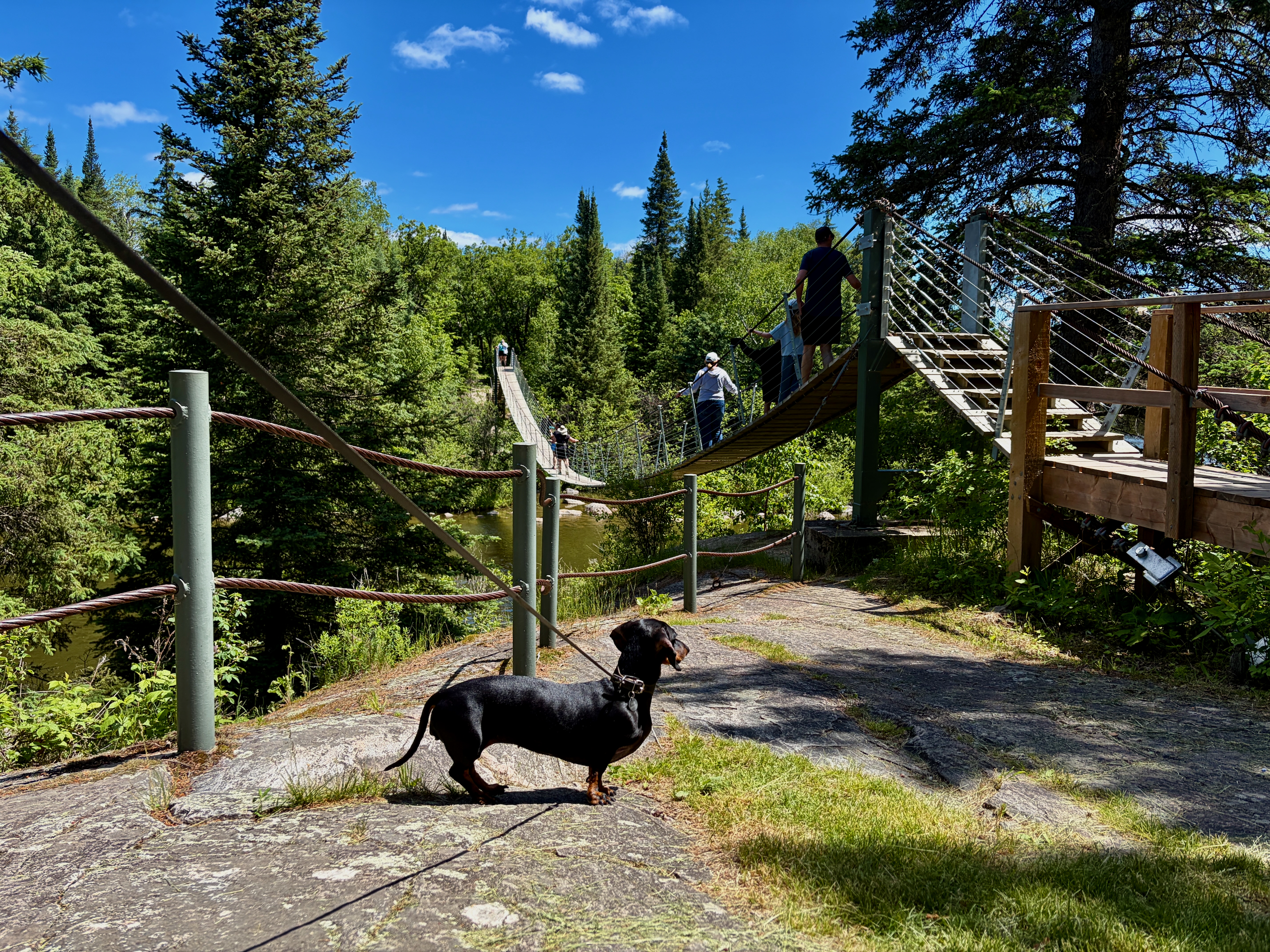
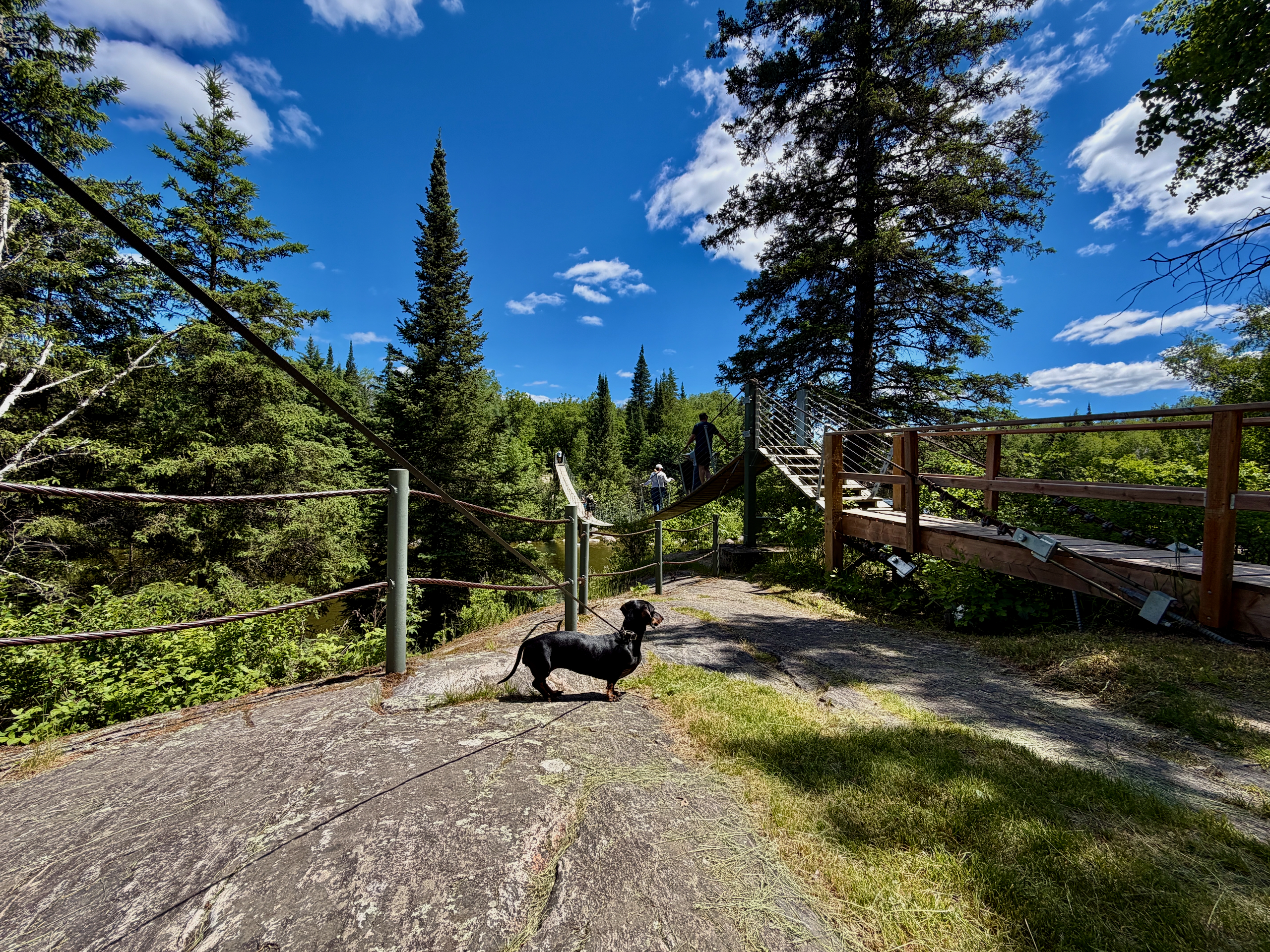
It’s a 54-metre pedestrian bridge over the Pinawa Channel, built by volunteers and nicknamed the “Labour of Love.” The bridge is just one metre wide and crosses the Pinawa Channel north of the local cemetery, off the Alice Chambers Trail. The community built it themselves under the Pinawa Trails Group: construction finished in the fall of 1998, with the grand opening on May 24, 1999. It’s part of a loop used for interpretive walks, casual fishing and cross-country skiing in winter.
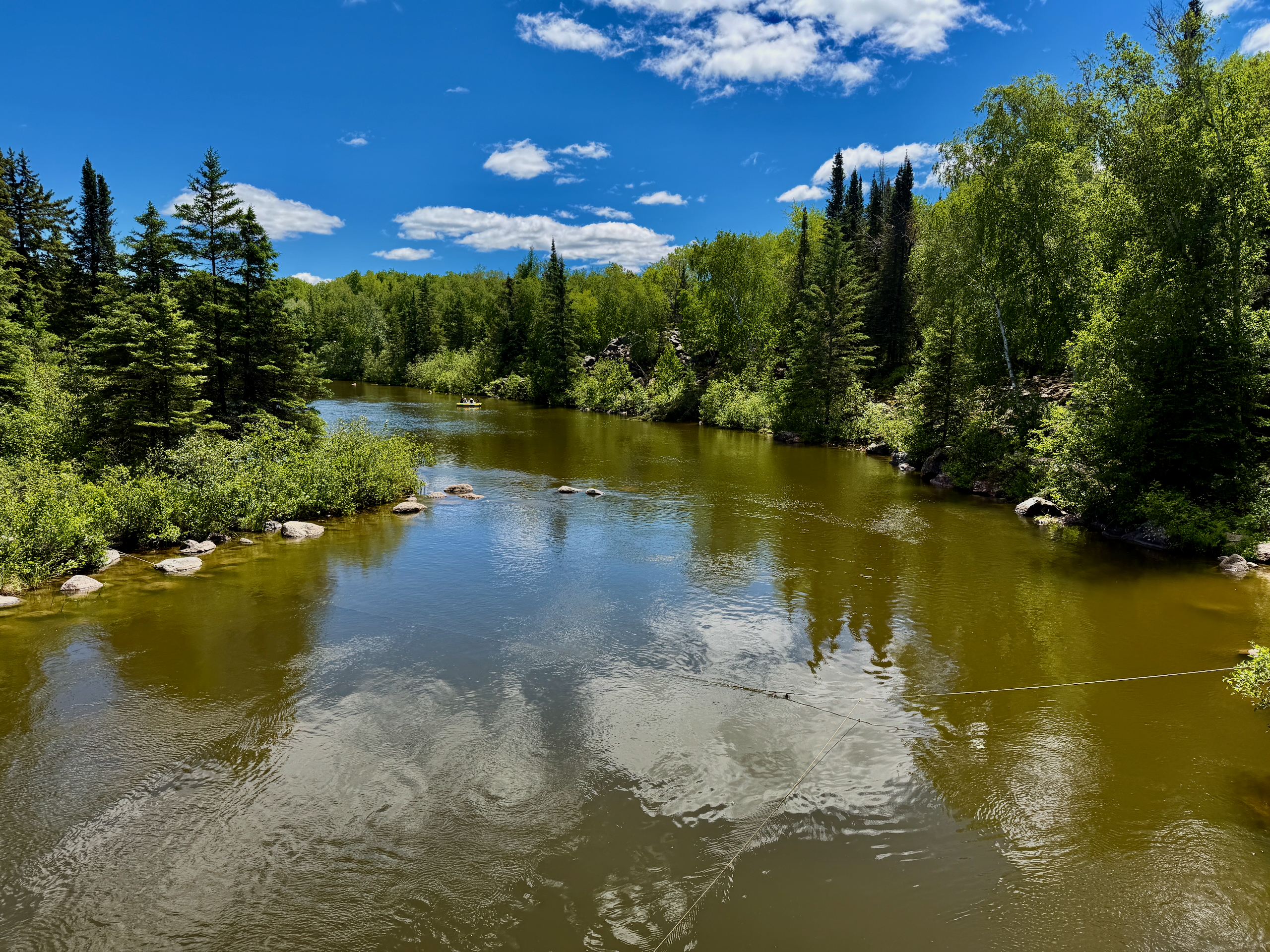

Where does the Pinawa Channel Heritage Walk go?
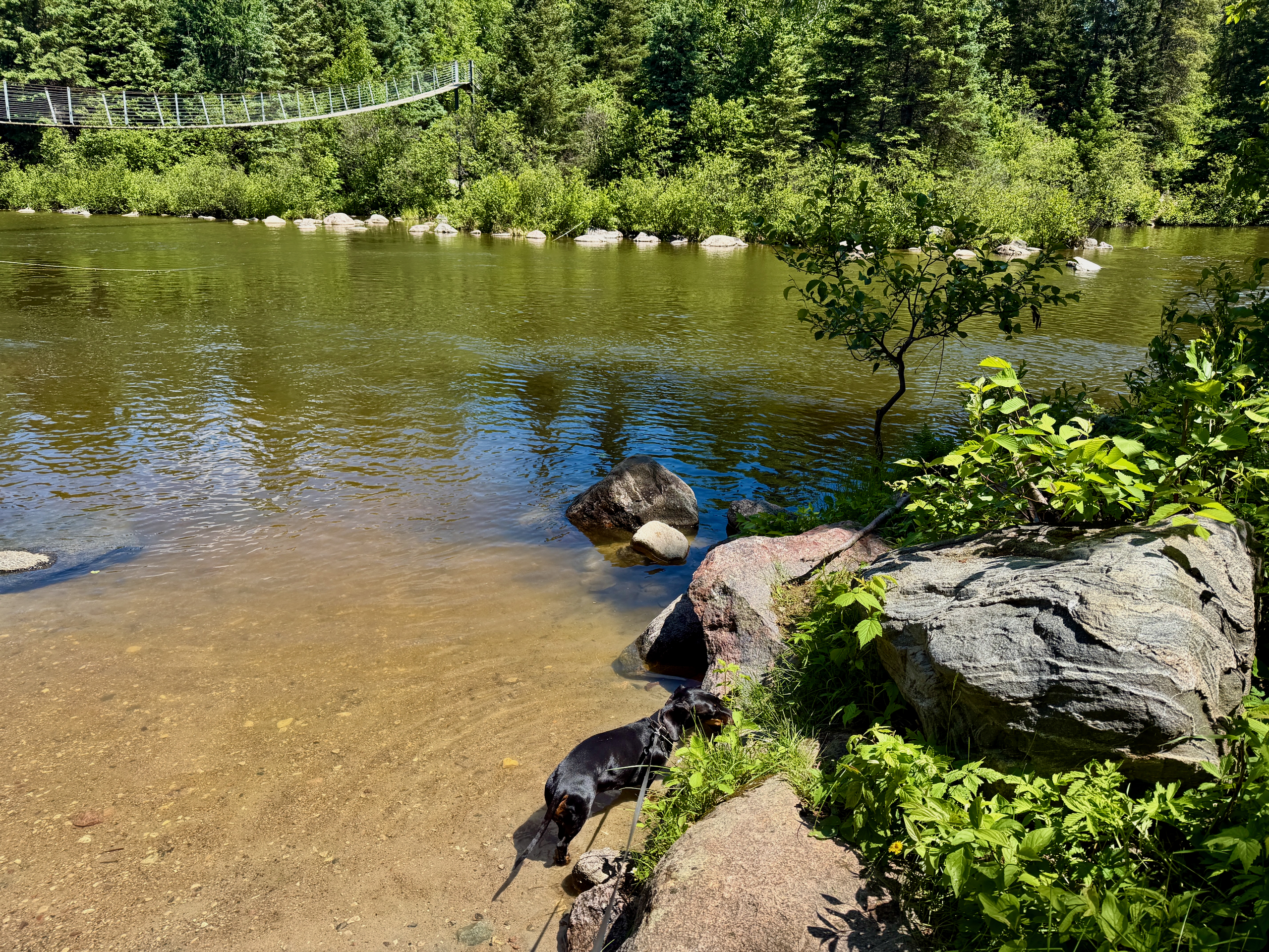
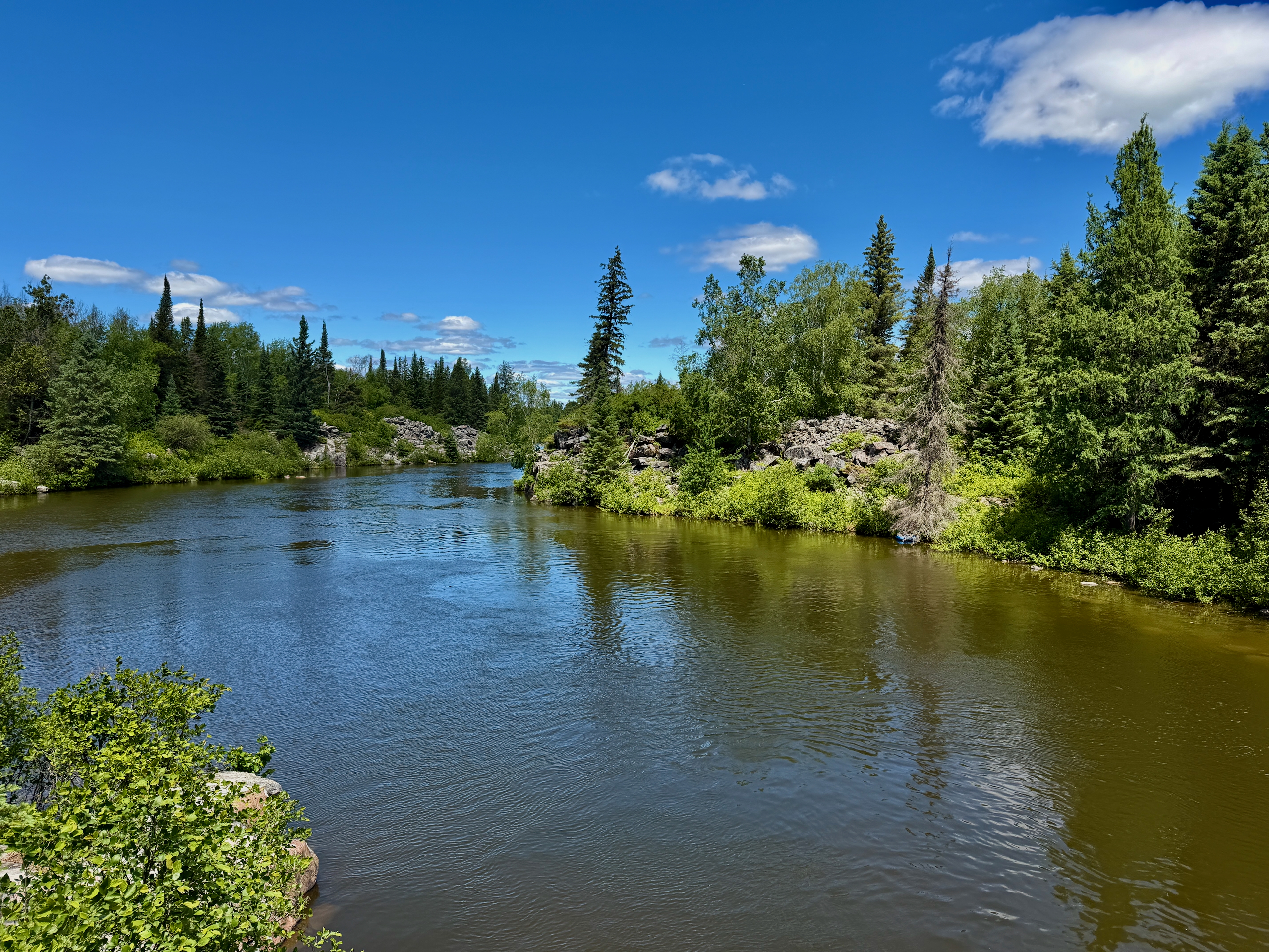
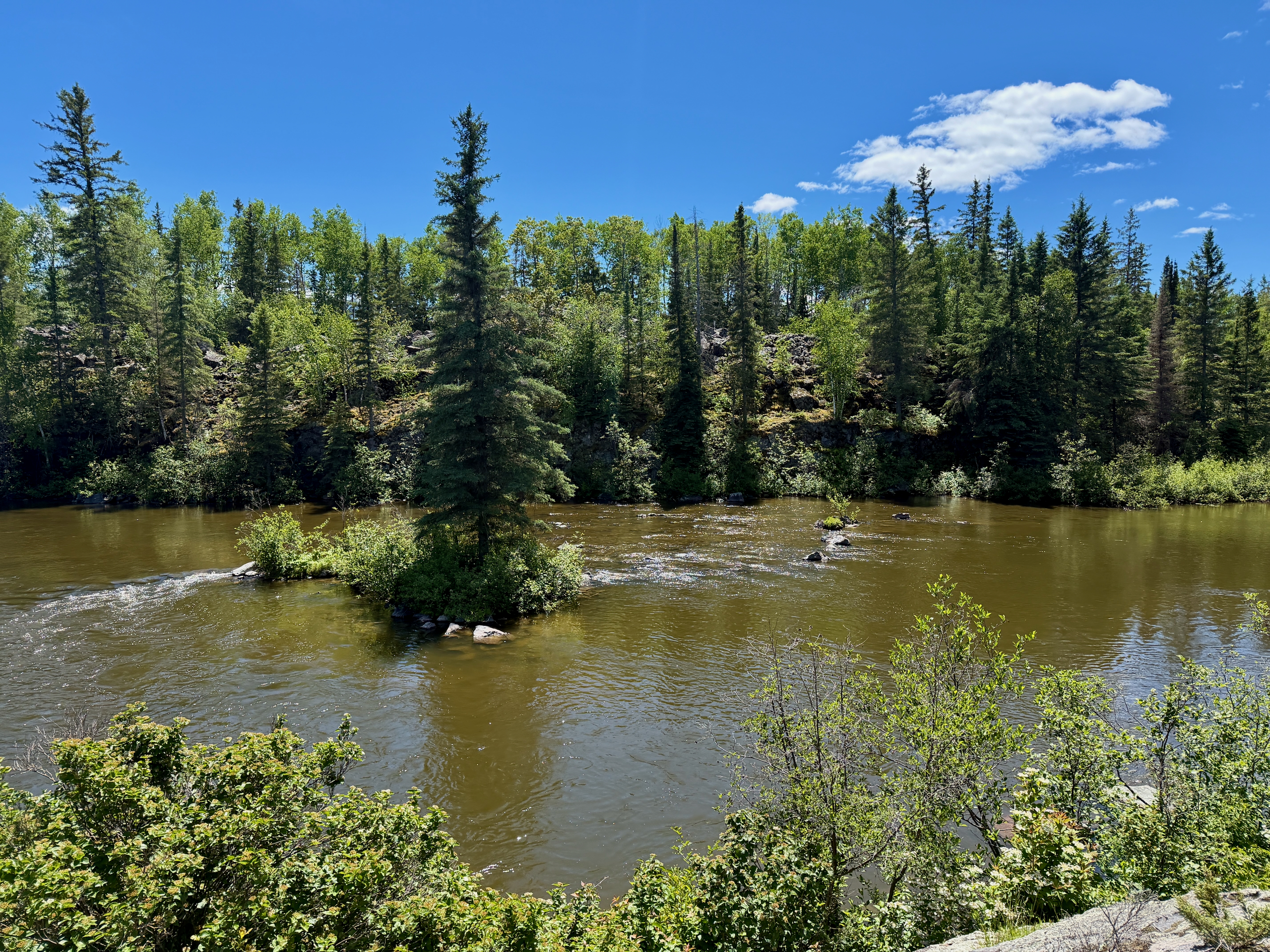
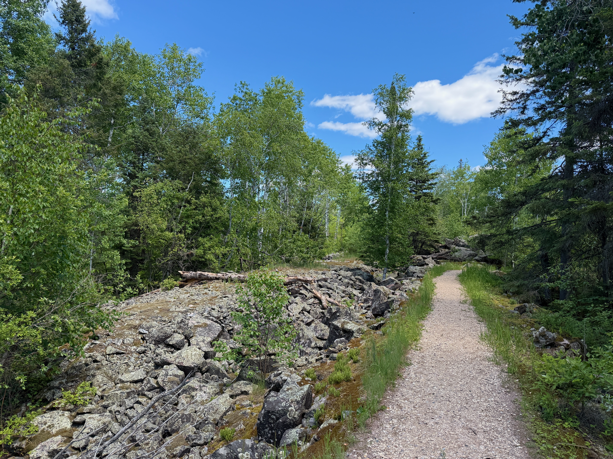
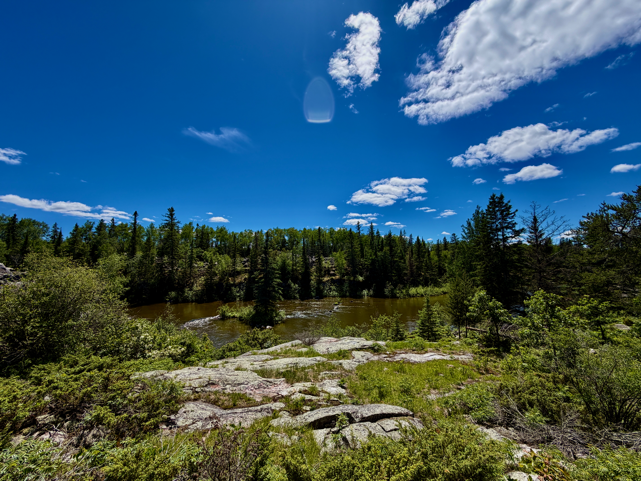
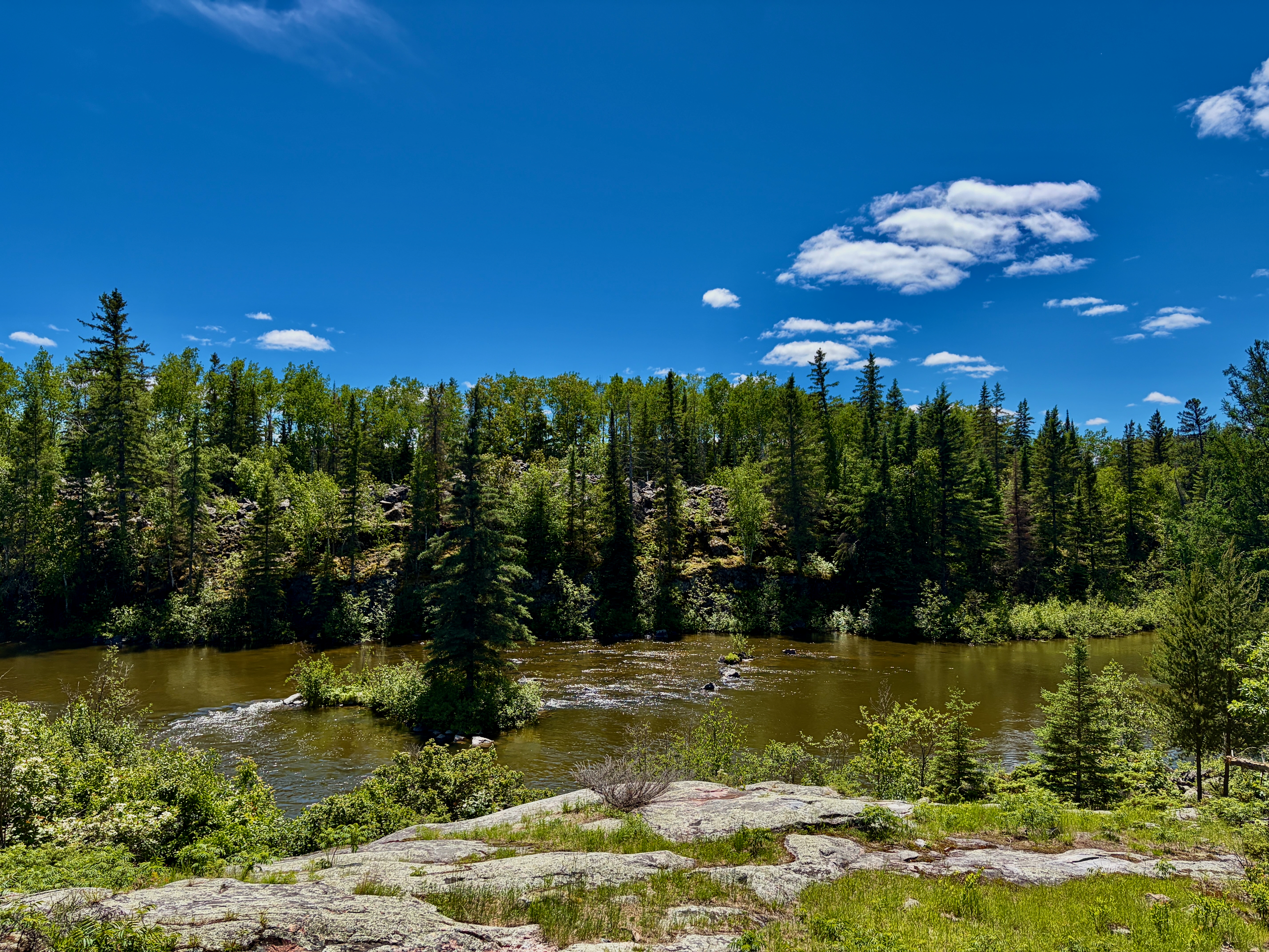
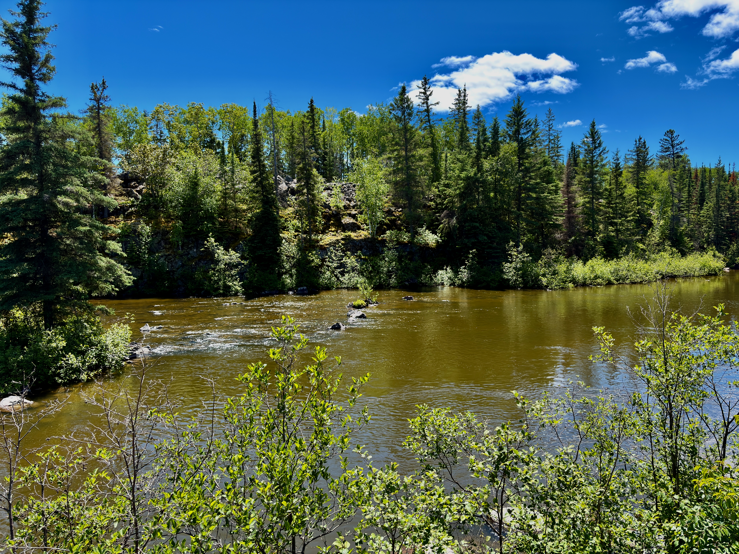
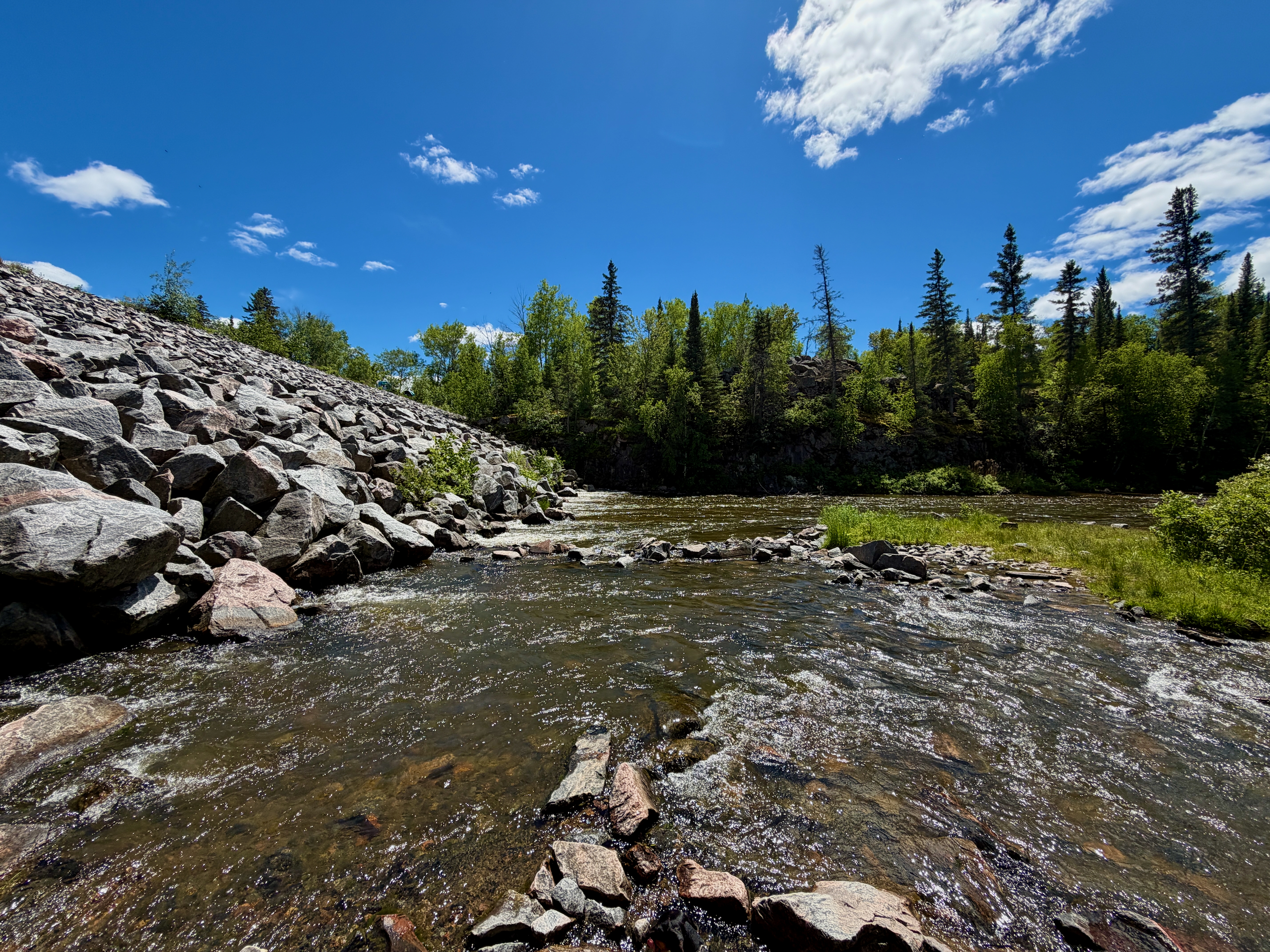
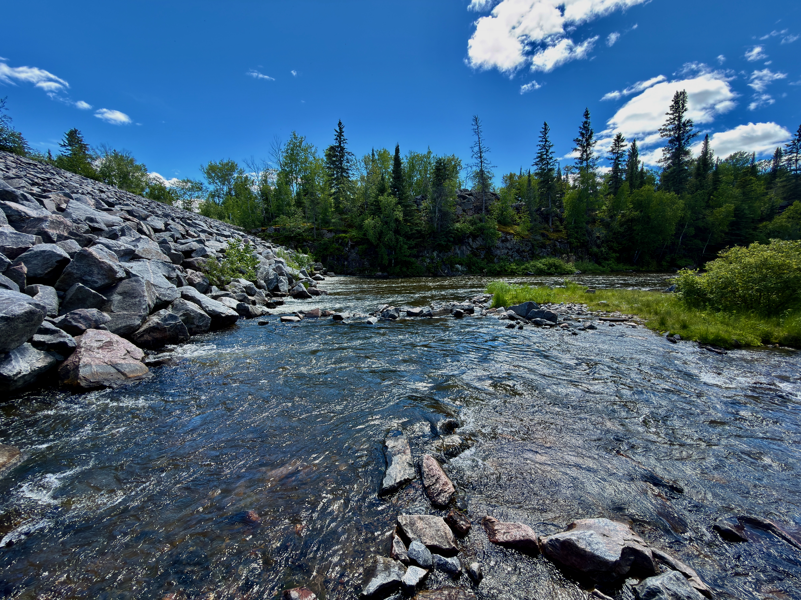
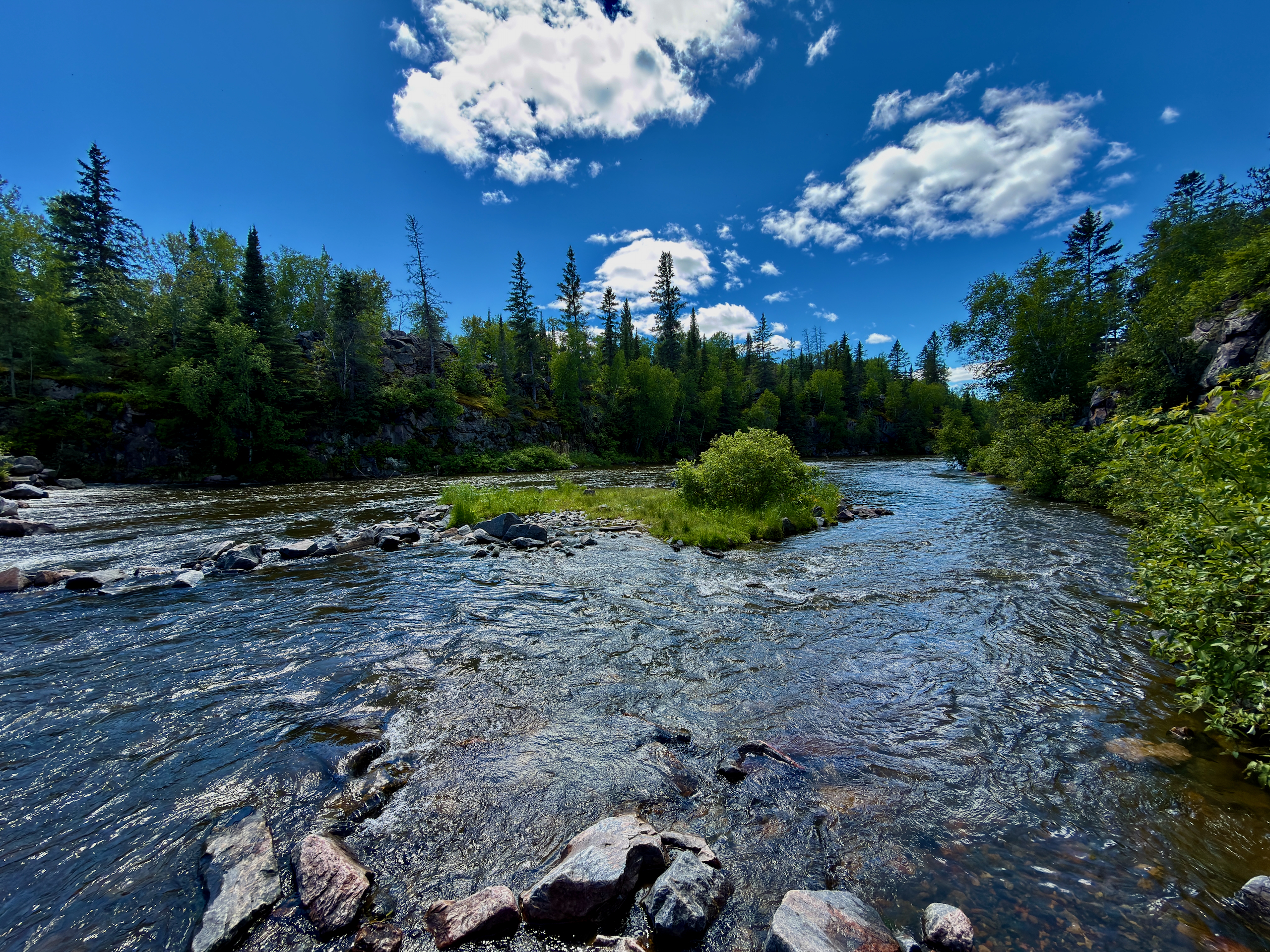
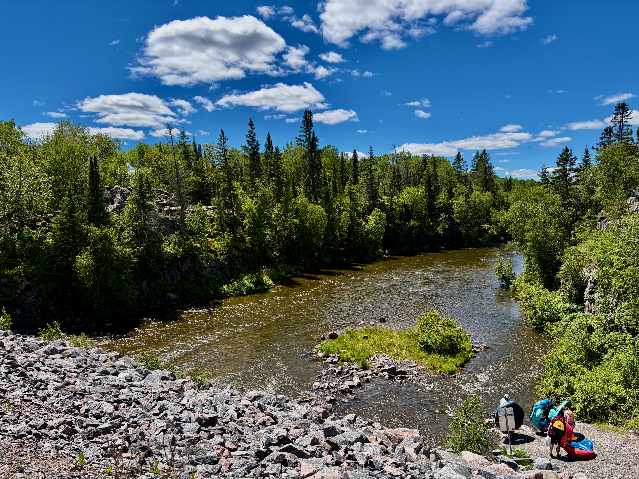
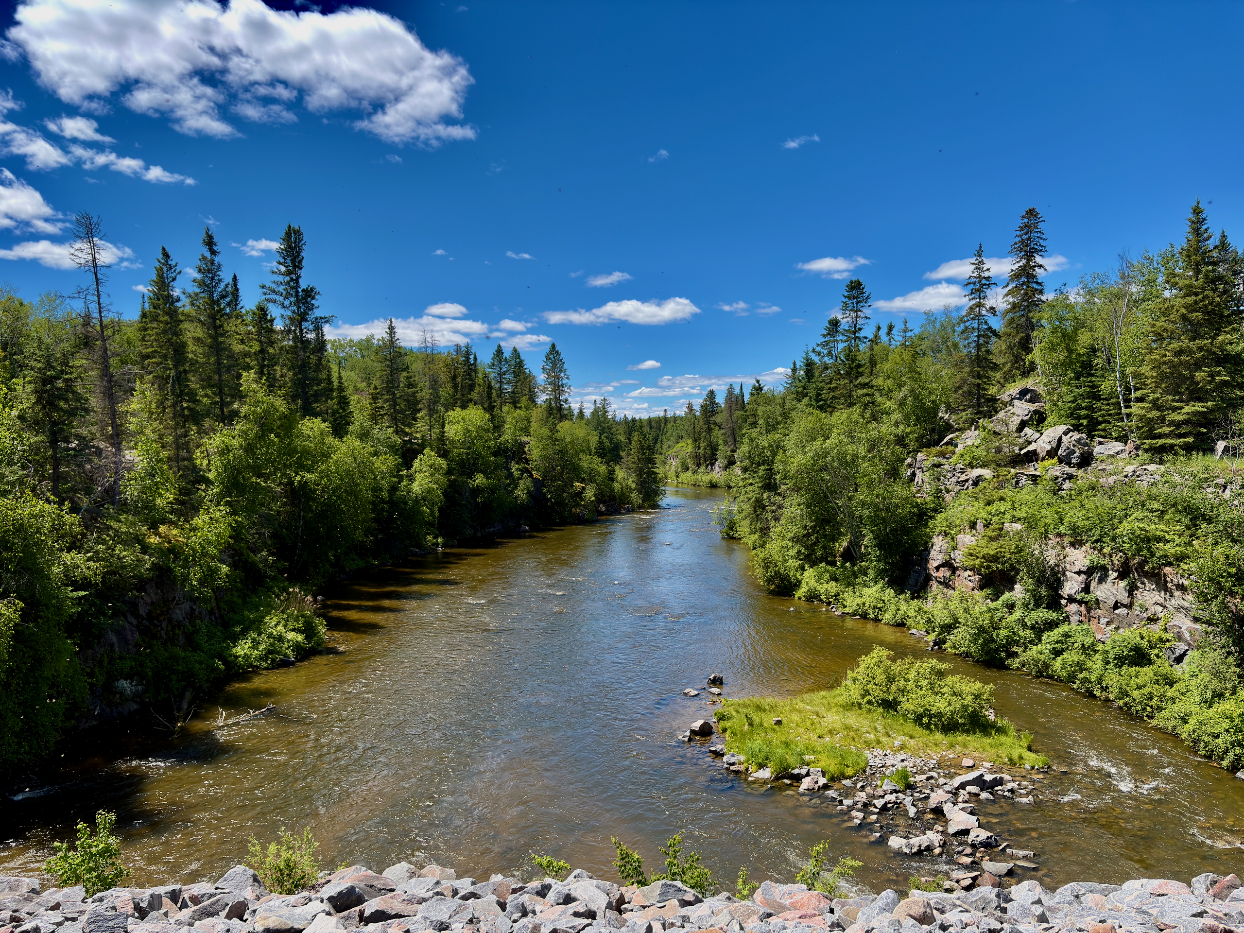
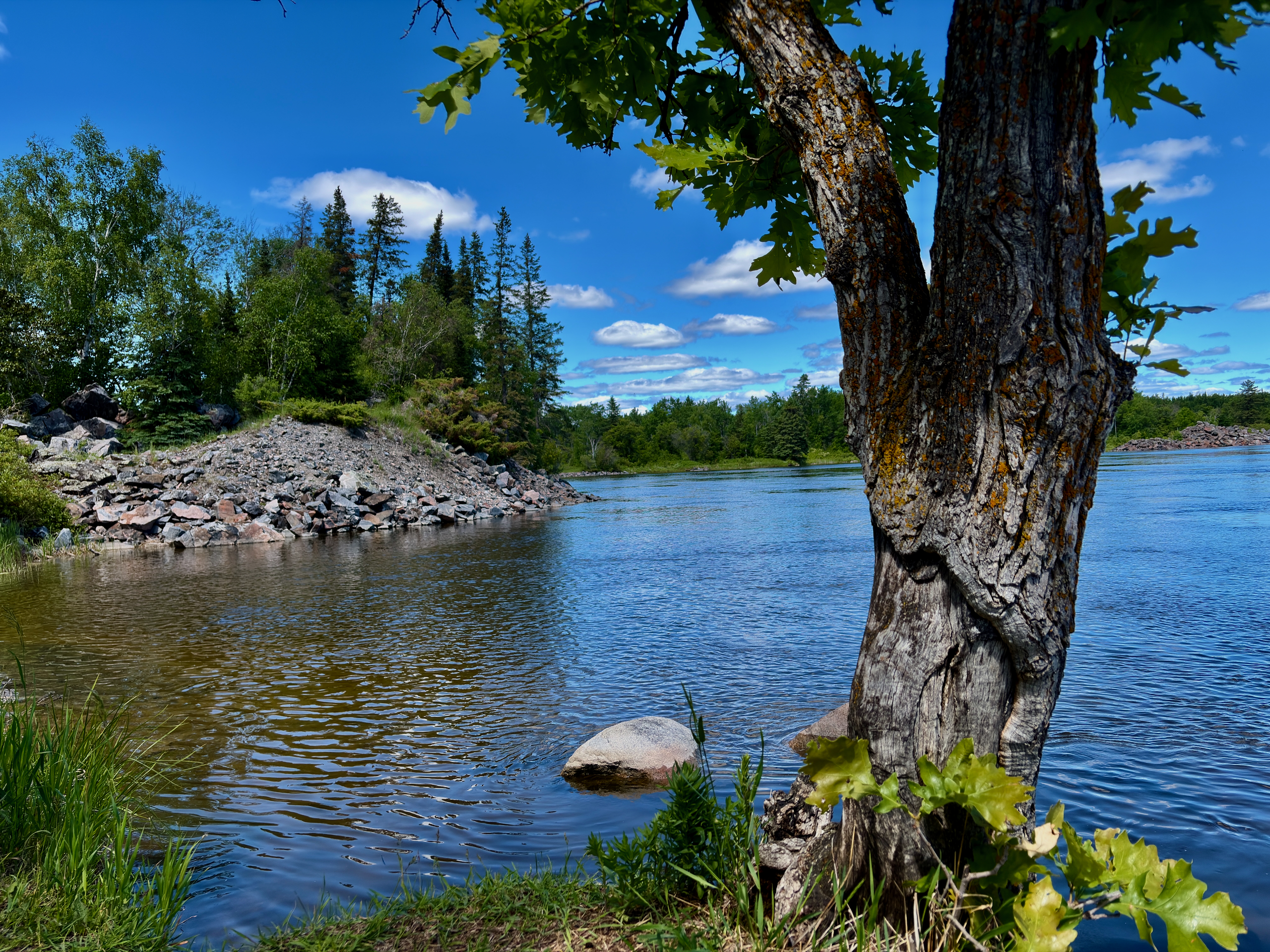
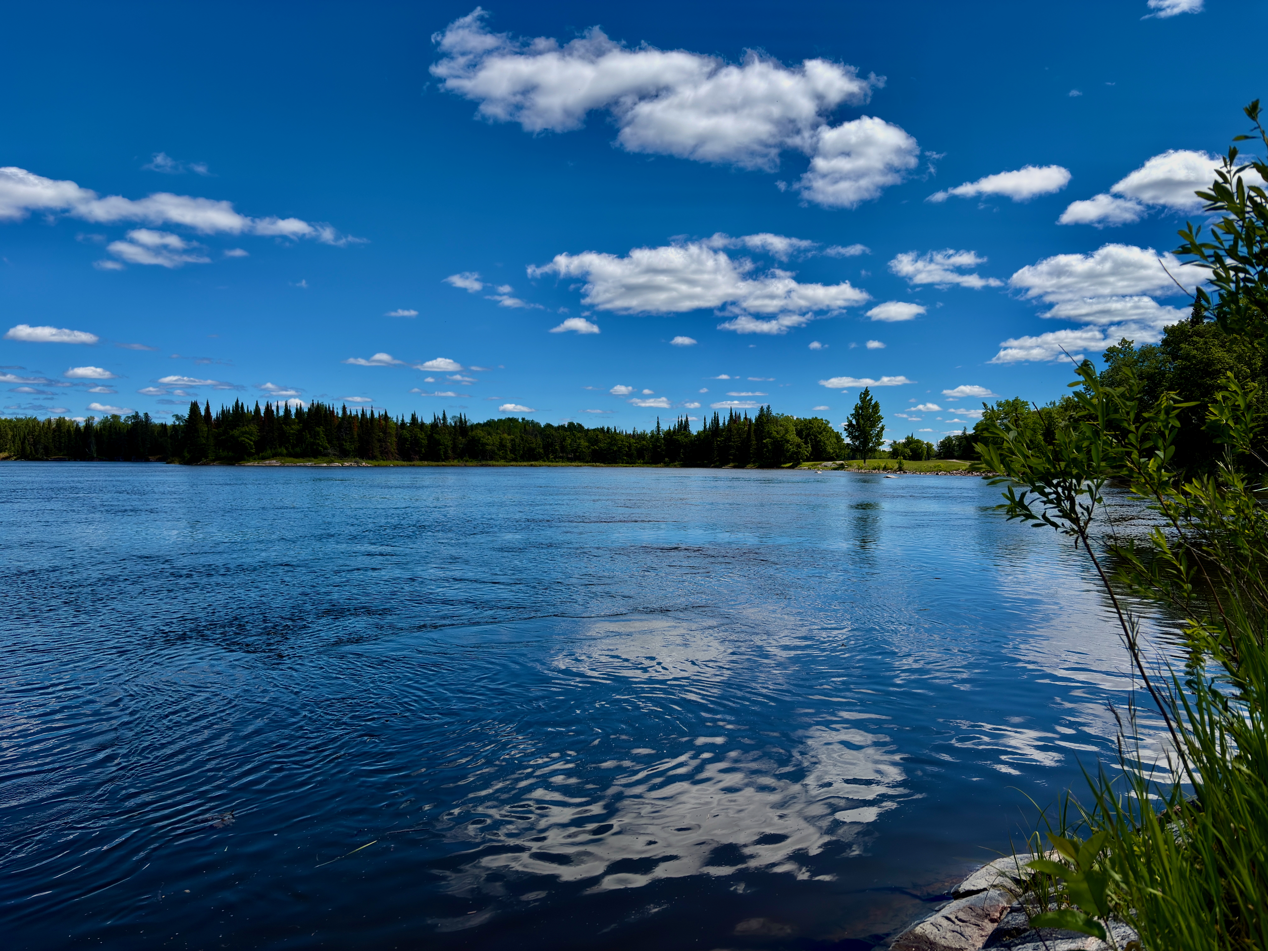
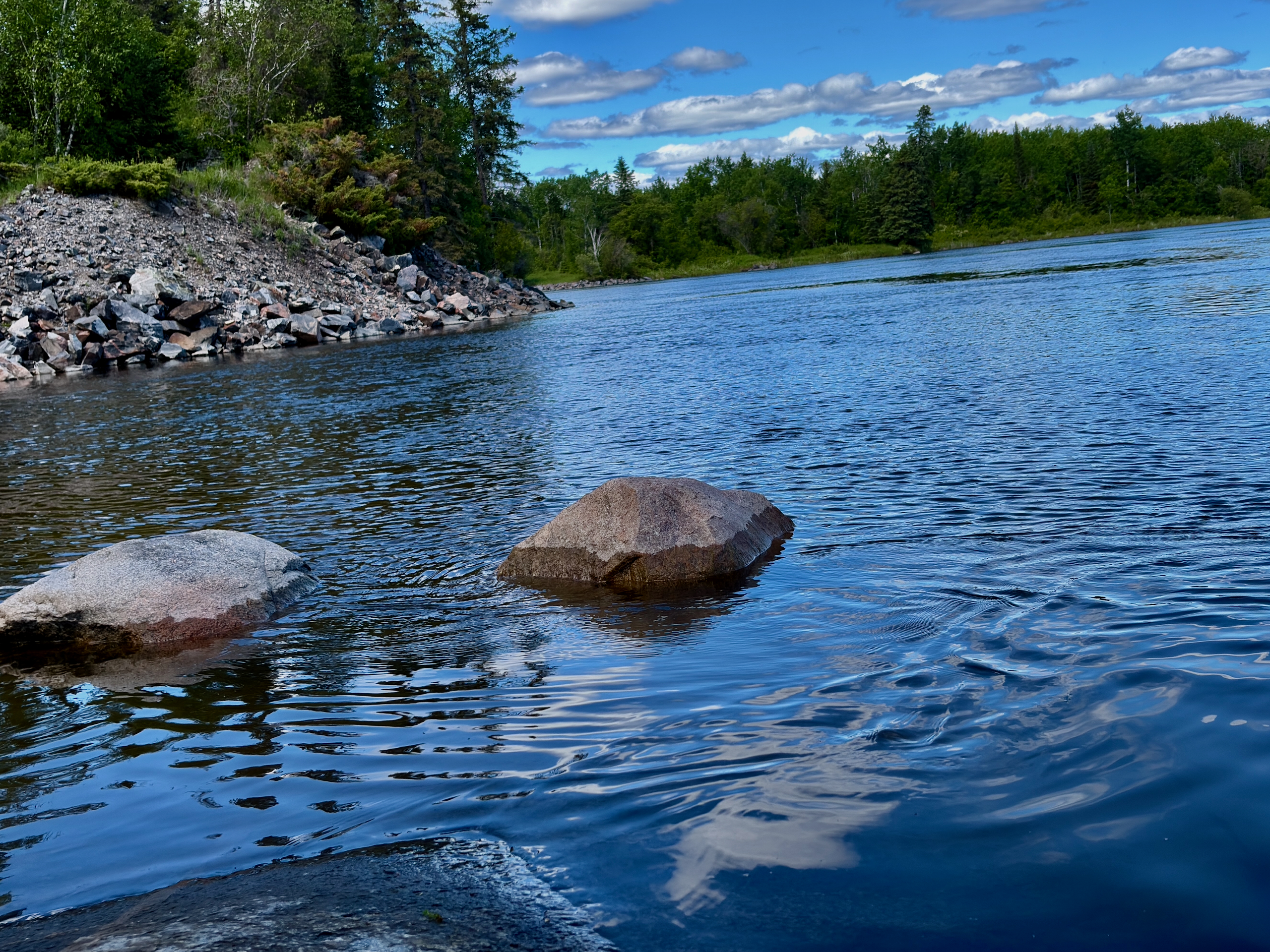
It’s a three-season path of about 3.5 km along the north side of the channel that links the bridge and the dam into one tidy loop. You can join it from two points: the suspension bridge, or the Manitoba Hydro diversion dam at the end of PR 211. The easiest plan is a loop — cross the channel on the bridge, walk the Heritage Walk to the dam, and return either the same way or by the shorter road. The path runs through forest and over granite outcrops in places; follow the markers, because ski trails cross through here too.
One small but important clarification: the dam you cross here is the Manitoba Hydro diversion dam, not the historic Old Pinawa Dam. The latter — Manitoba’s first hydro station, 1906–1951 — is a separate heritage park outside town on PR 520. They’re two different places.
Can you go tubing here?
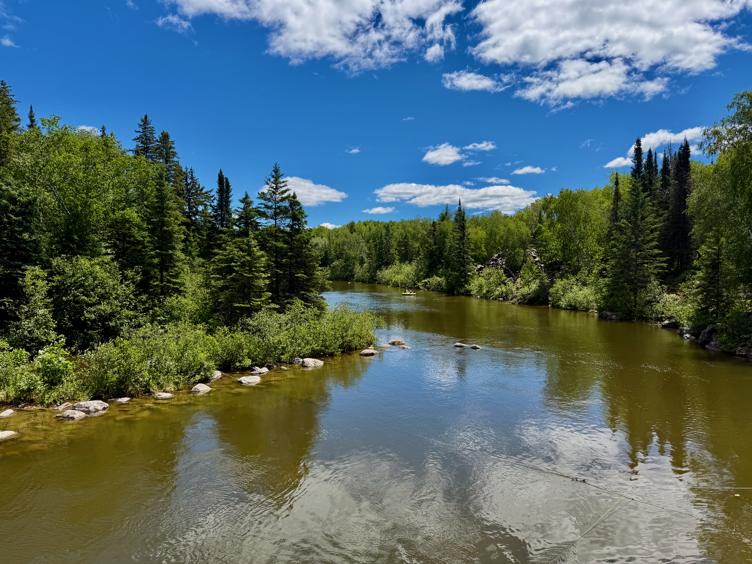
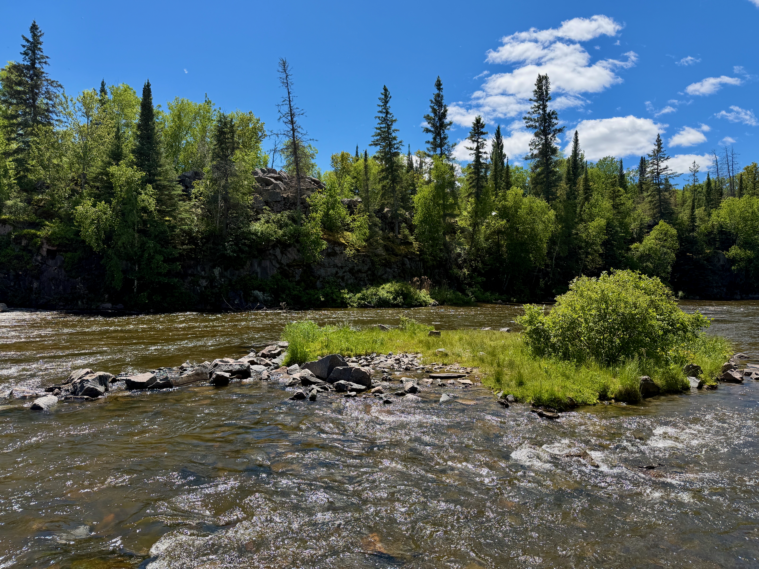
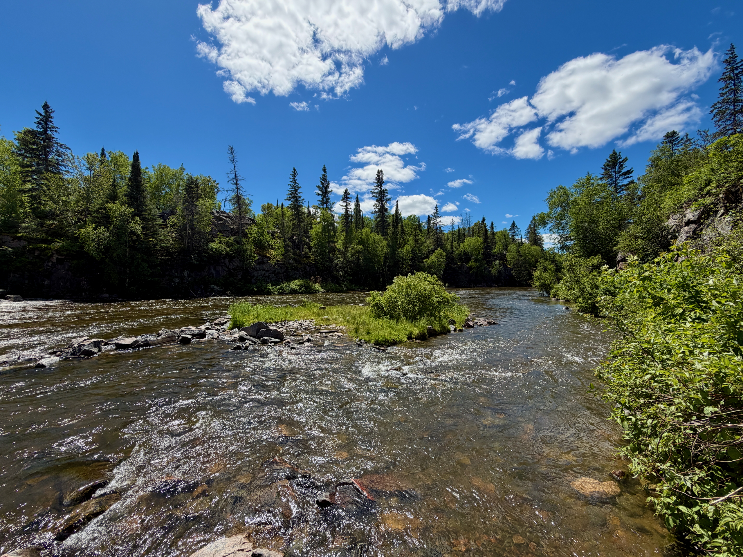
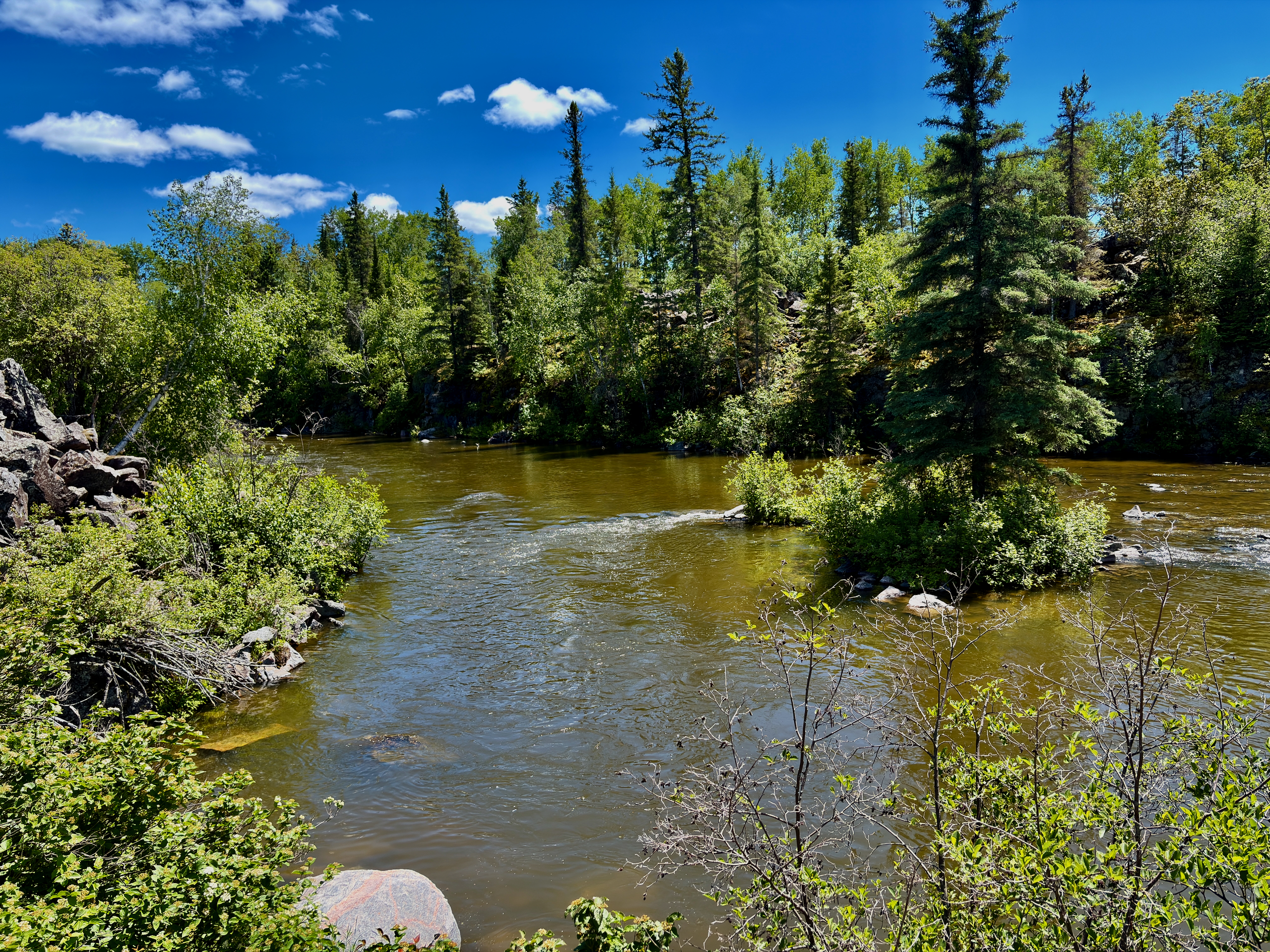
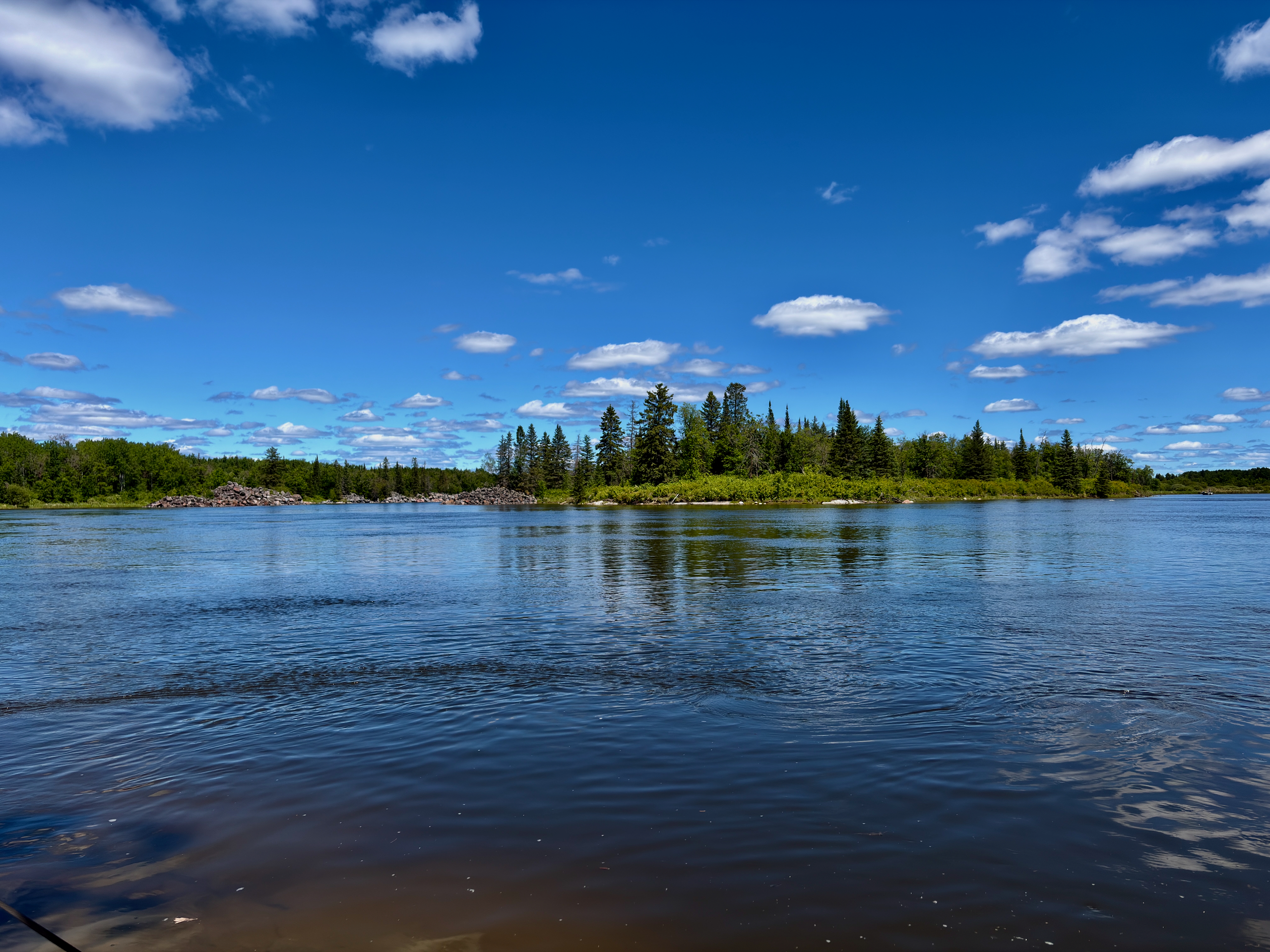
Yes — floating the Pinawa Channel on inflatable tubes is one of the main summer draws. The float starts near the diversion dam (end of PR 211) and finishes by the suspension bridge, where you leave your car. The float itself takes roughly 2–3 hours depending on wind. Gear comes from local operators (such as Pinawa Unplugged and Pinawa Channel Float & Paddle), and rentals usually include a shuttle from the bridge to the start. There are no exit points along the way — you must get out at the bridge.
What is the Trans Canada Trail in Pinawa?
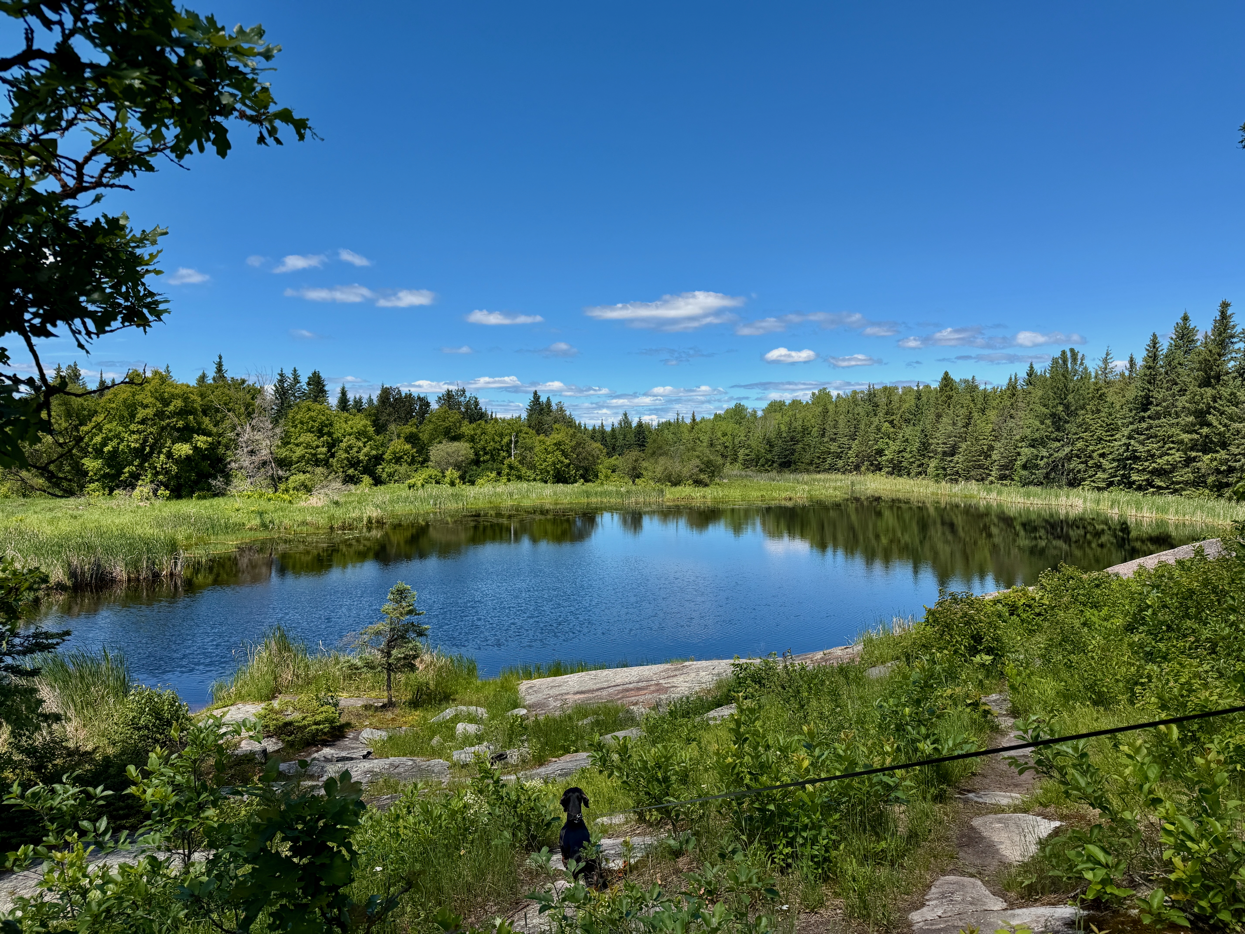
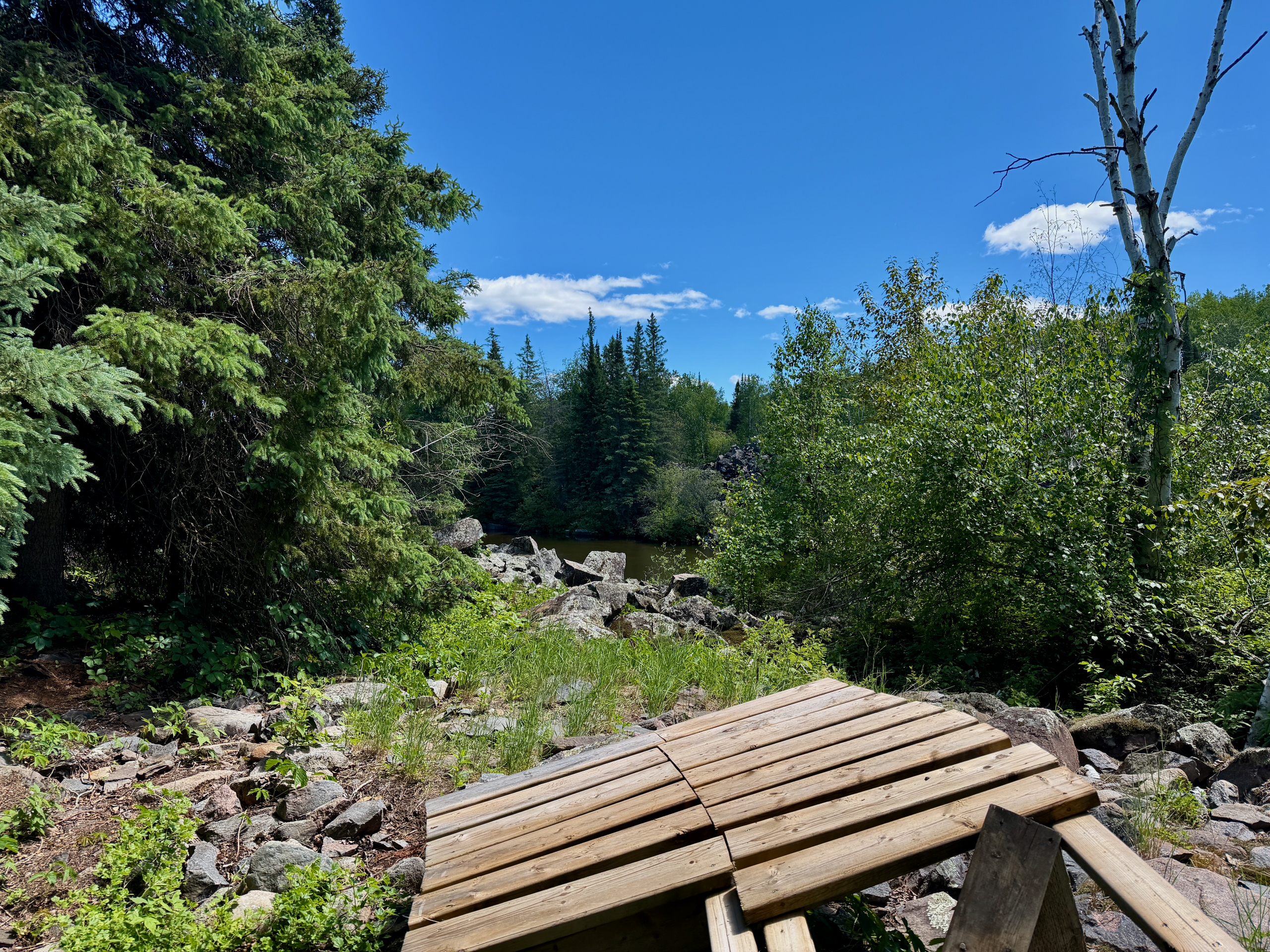
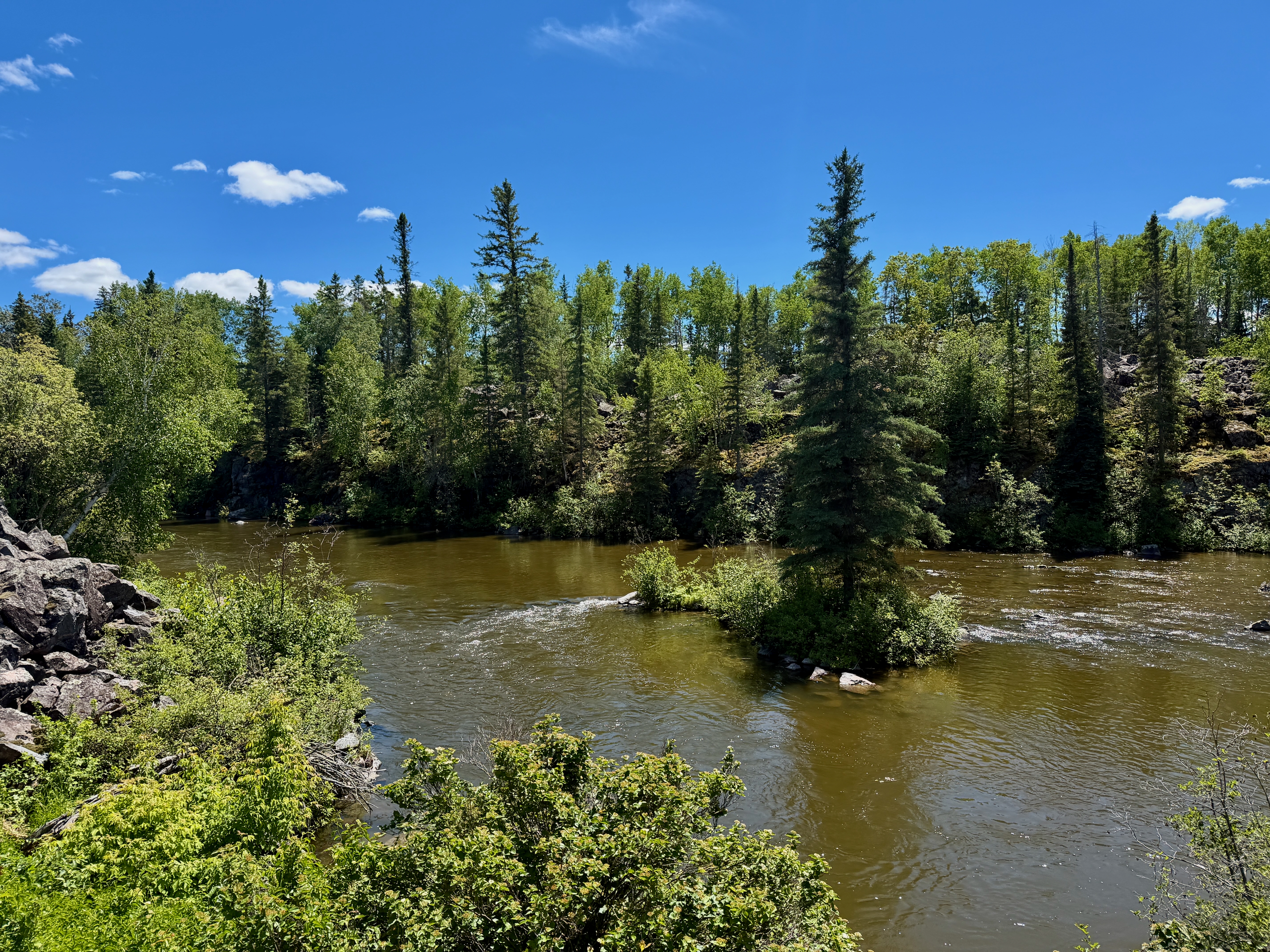
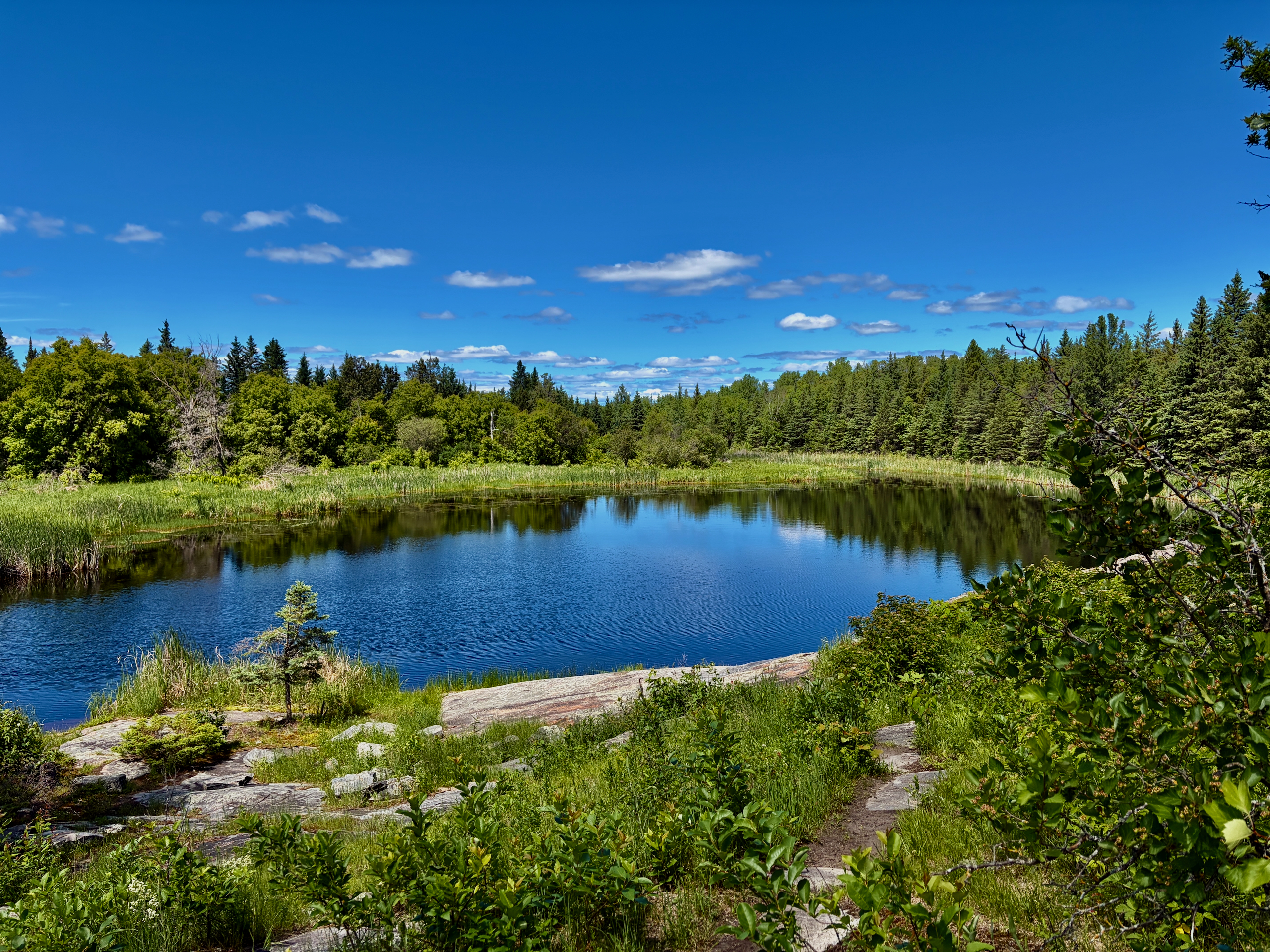
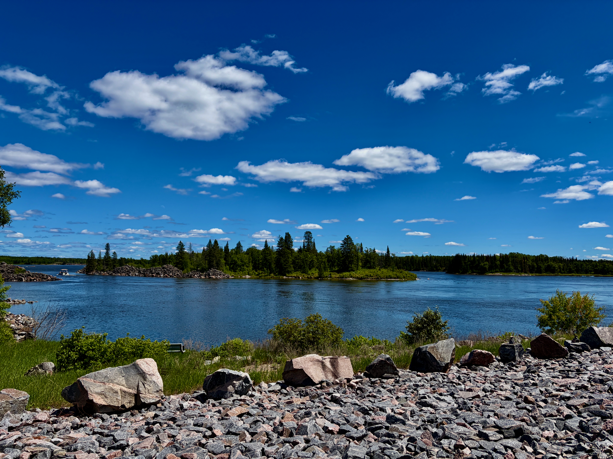
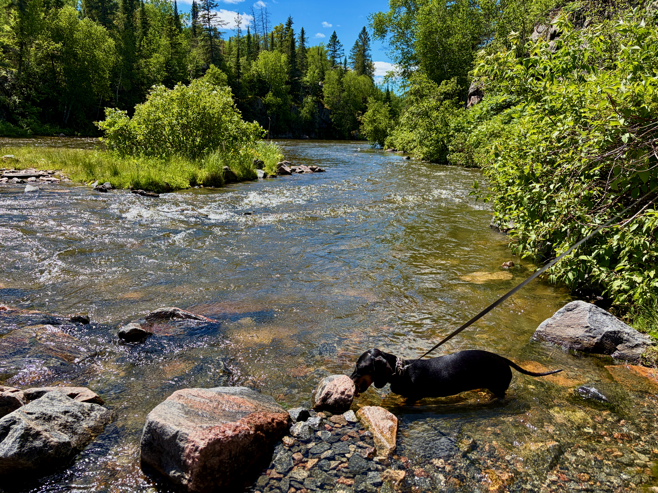
It’s a 28-km section of the national trail running from the Seven Sisters Generating Station to Old Pinawa Dam Provincial Park. It passes through mixed boreal forest, granite ridges and along the Winnipeg River and the Pinawa Channel. The route is split into segments of varying length, including the riverside Ironwood Trail, the Alice Chambers Trail and the Channel Heritage Walk. The whole route is recognized as part of Manitoba’s Pine to Prairie Birding Trail, so it’s a strong pick for birding.
How much is parking, and how do you pay?
Parking is $10 per vehicle plus a service fee, paid by QR code (the HONK system) right on site. The paid areas are the lots at the suspension bridge and the diversion dam. A day pass bought at one location gives access to all of Pinawa’s paid lots for that day. A practical detail worth knowing: “day” means until 11:59 p.m. that same day, not 24 hours from payment. Pinawa residents have their own arrangement; everyone else pays as a visitor.
What else should you know about the town?
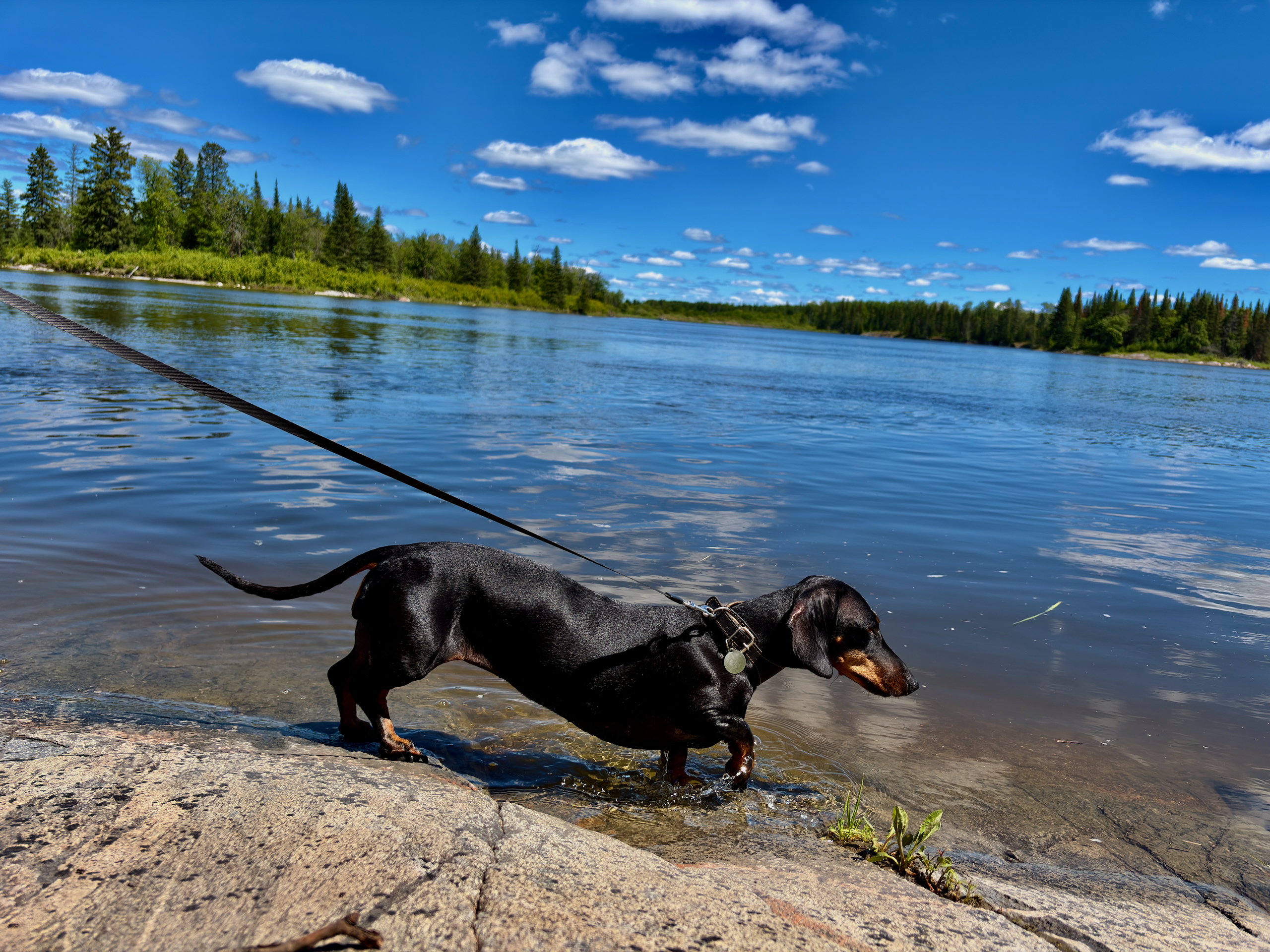
It’s a very quiet town with a golf course, basic amenities by the water and unexpectedly calm deer. Near the dam and the bridge there’s parking, washrooms, an ice-cream stand and — in season — food from local vendors. A golf club runs alongside, so watch for golf carts where the trails meet the course. The town itself feels like a summer place: quiet streets where deer wander, unbothered by cars. For a forest walk, that’s mostly a plus.
When is the best time to visit?
The trails are three-season, but for tubing and the best walking, aim for warm, dry summer. In winter the bridge and parts of the trail are used by skiers, so it’s lovely in snow too. But to pair a channel walk with a float, go on a warm, sunny day. And don’t forget mosquito spray and tick protection — this is wooded ground.
| Detail | Info |
|---|---|
| Location | Pinawa, MB (R0E 1L0) |
| Suspension bridge | 54 m long, 1 m wide, opened 1999 |
| Channel Heritage Walk | ~3.5 km, three-season, north side of channel |
| Trans Canada Trail | 28 km: Seven Sisters GS → Old Pinawa Dam Park |
| Tubing | Start at diversion dam, finish at bridge, ~2–3 hrs |
| Parking | $10/vehicle + fee, QR/HONK, day pass to 11:59 p.m. |
| Amenities | Washrooms, ice cream, seasonal food, golf club nearby |
| Season | Three-season; tubing in summer |
Read next: our full-day Pinawa trip, the guide to nearby Seven Sisters and Whitemouth Falls, and another river-and-engineering spot — Lockport on the Red River.