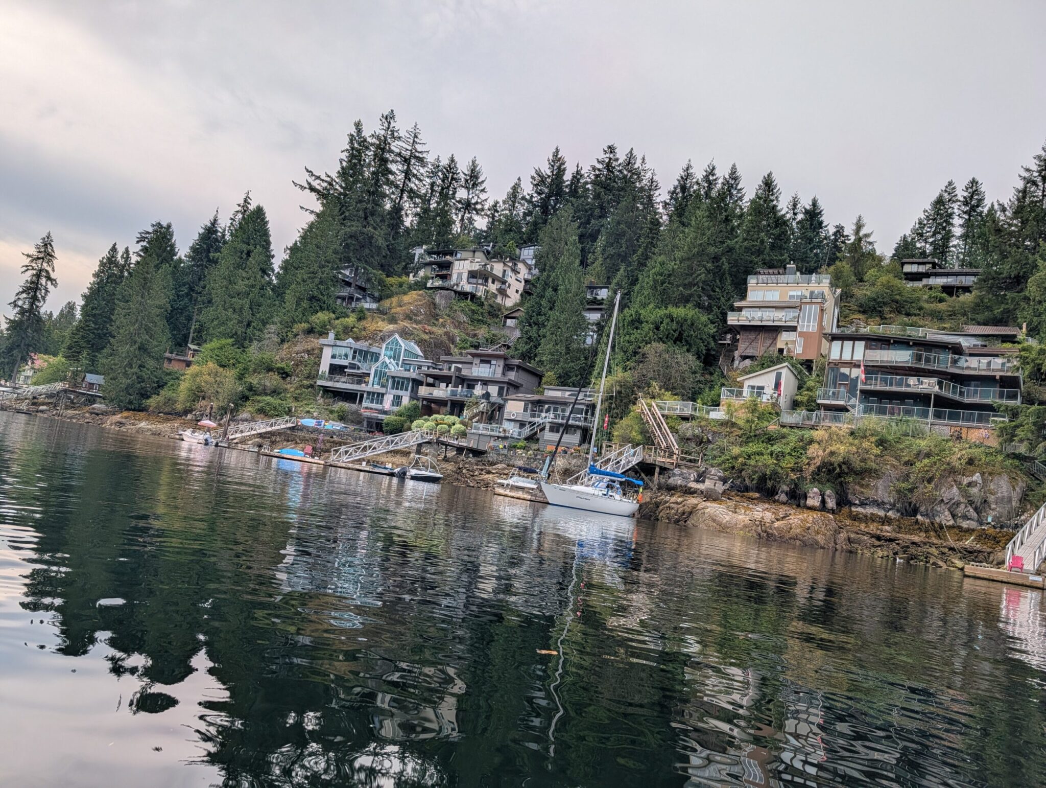



A 2.7 km out-and-back trail along the Red River, wooden carvings on the branches, and a vibe straight out of a movie. Here is the Sunday afternoon trip — and how to do the same one.
Anna and I have an unwritten rule: every Sunday, we get out of the city, even if it is just a short walk. Last Sunday, that rule was in danger — it had been raining most of the night and through the morning. We thought we’d be stuck at home.
Then it stopped around lunch. We threw what we needed into the trunk, loaded Nika (our dachshund) into the car, and drove — to wherever the remaining time allowed. A coworker had mentioned the St. Adolphe Friendship Trail to me a few times as “short, close, no preparation needed.” That sounded exactly right.
Here is what the trail is, how to get there without getting lost, what to bring, and what to expect.
If you want to know the story of the trail itself — who created it and why, what all those wooden carvings mean, and when to visit in different seasons — that is in our full St. Adolphe Friendship Trail guide. This post is about the day itself and how to repeat it.
How Fast Can You Drive There From Winnipeg?
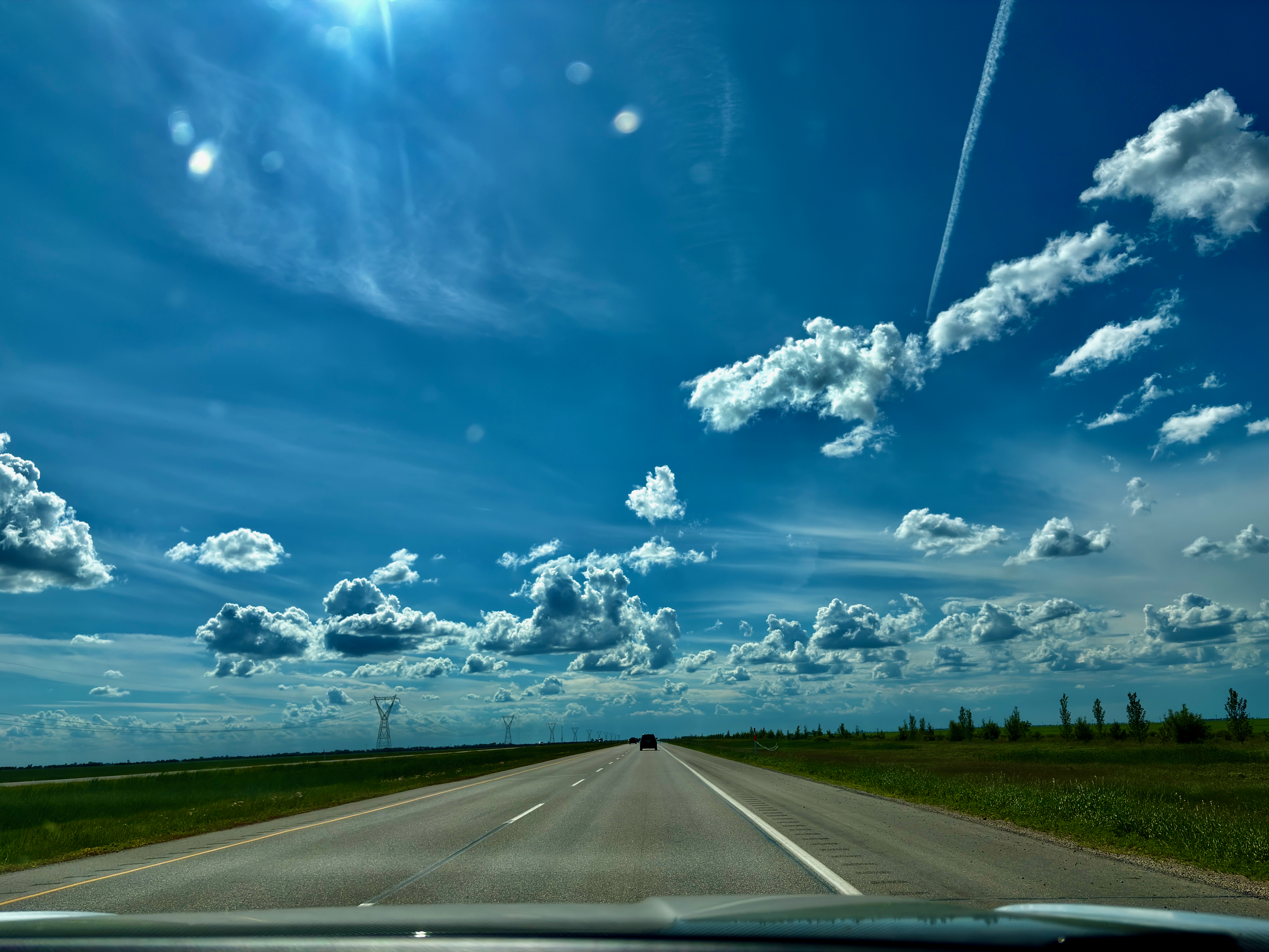
About half an hour south on Highway 75, then left onto MB-200. Short and easy.
Leave Winnipeg heading south on Highway 75 (Pembina Hwy). After about 20 minutes, turn left (east) onto MB-200. Cross the bridge over the Red River — and here is the key thing.
Where to Park Without Getting Lost?
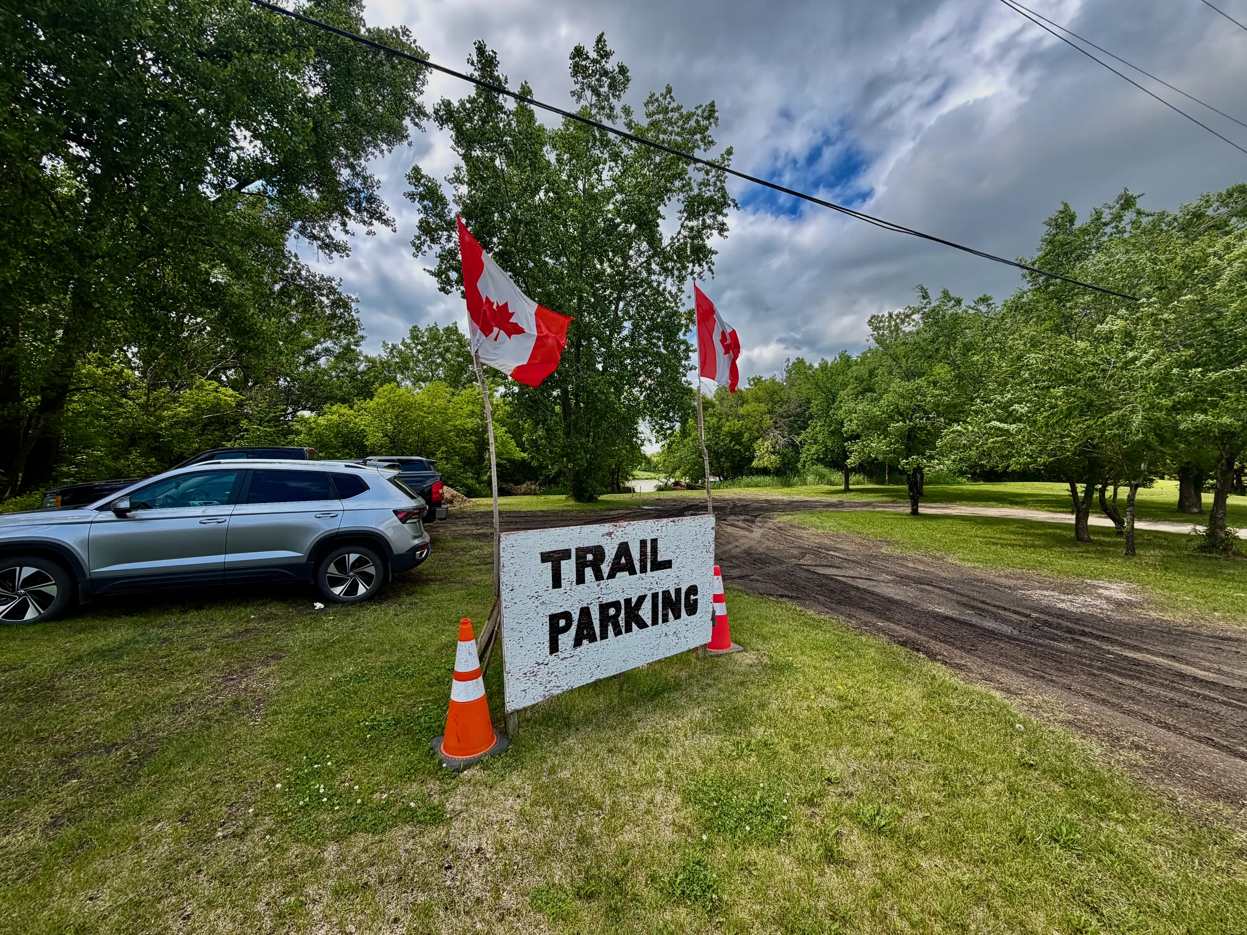
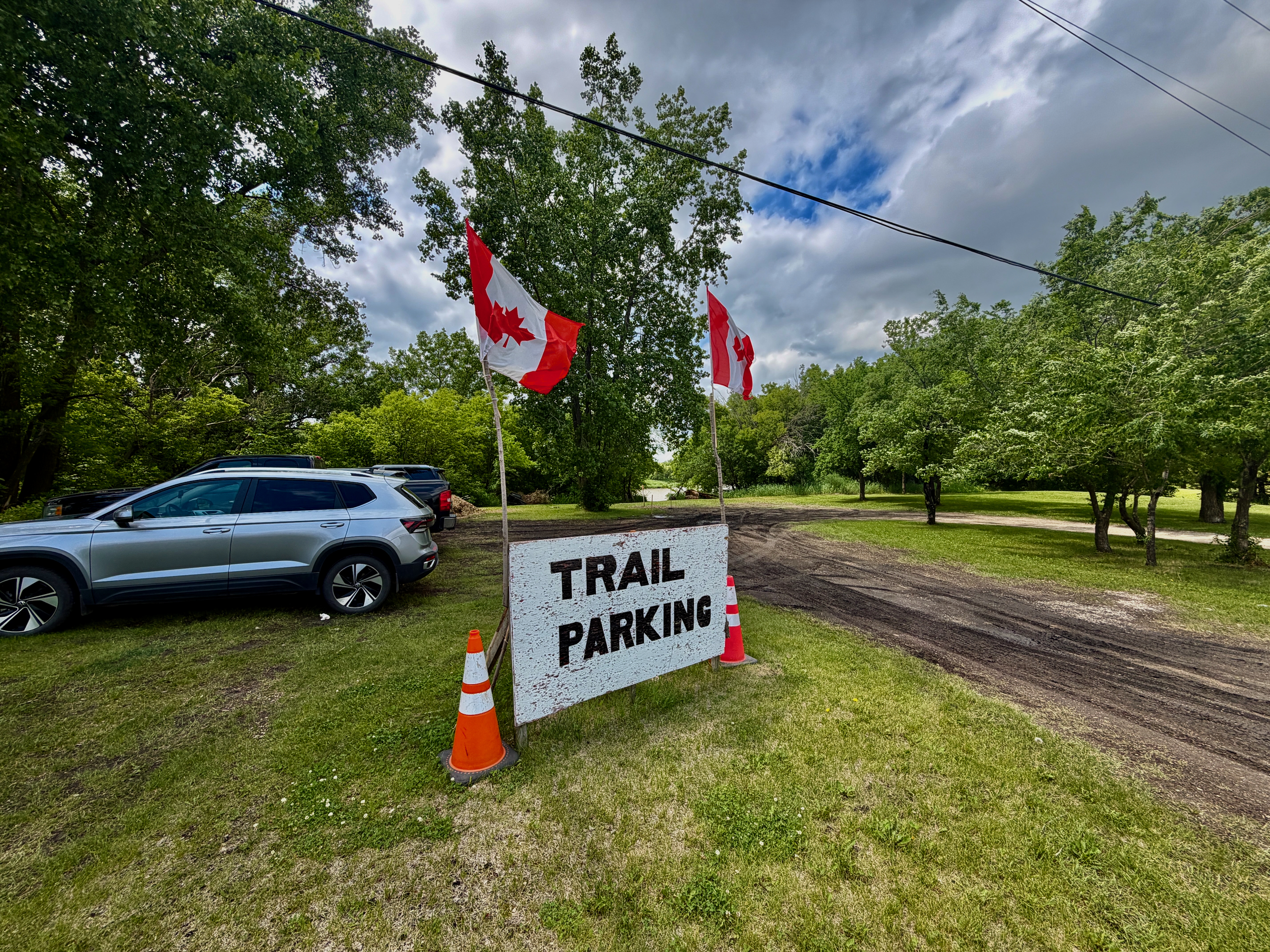
Do not stop right after the bridge. Drive about another kilometre to 1530 MB-200.
Maps show the trail starting right at the bridge exit — and that is misleading. If you park there, you will end up in an odd spot with no obvious trailhead. Instead, drive another kilometre or so down the road to the official parking lot at 1530 MB-200, Ritchot, MB. That is where the trail actually starts, with signage.
It is not hard, you just need to know in advance. I did not, and lost five minutes figuring out “where next.” Now you know.
There’s a portable toilet in the parking lot — and that’s the only one: there’s none on the trail itself.
What to Expect on the Trail?
A 2.7 km out-and-back, easy ~30-minute walk, full of small surprises.
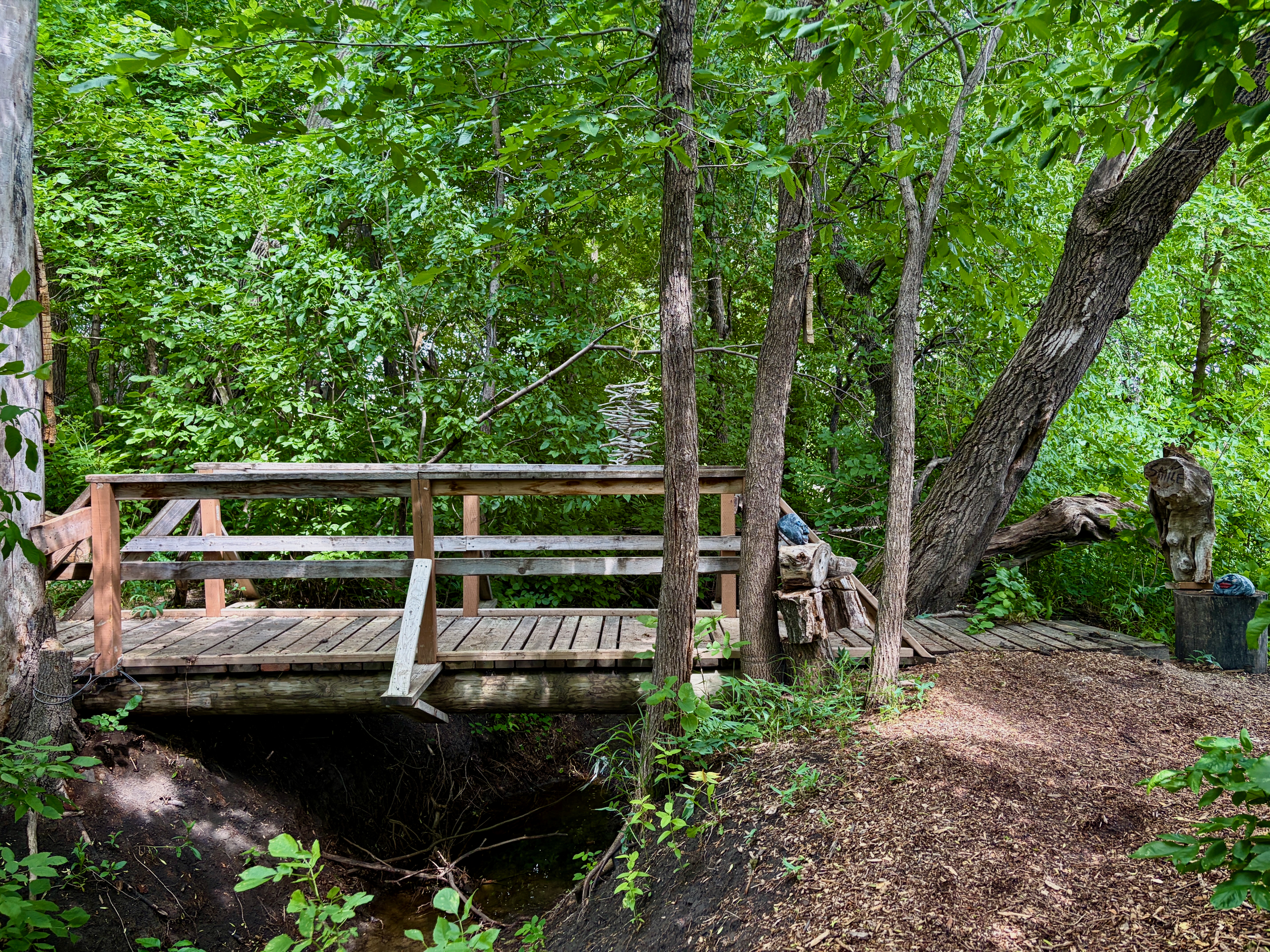
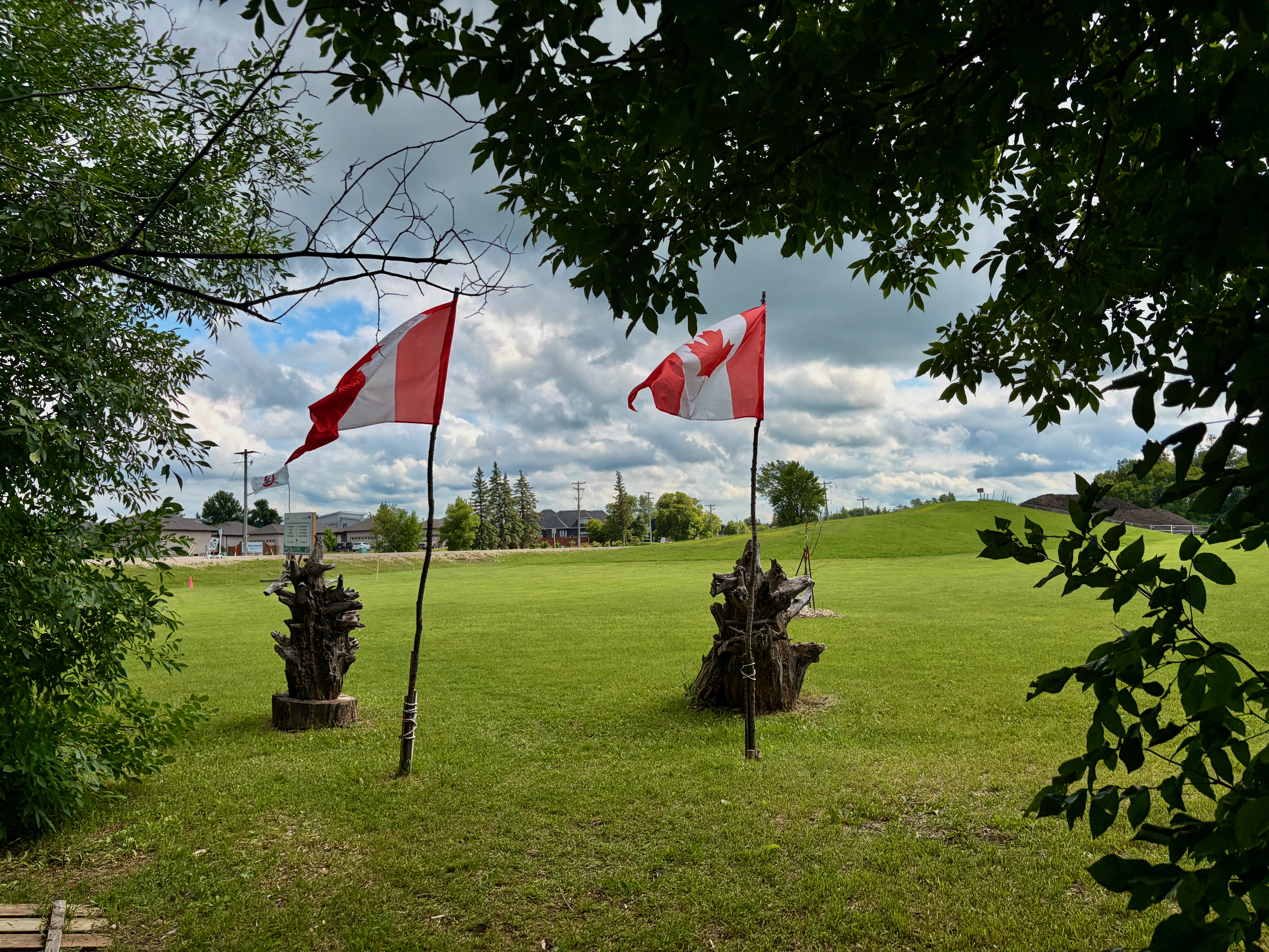
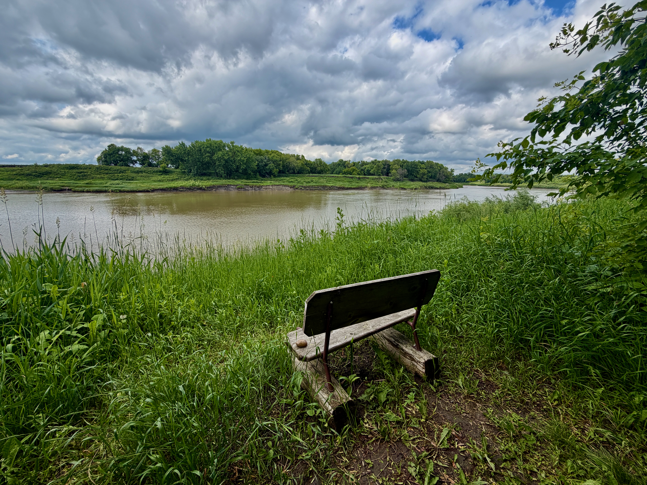
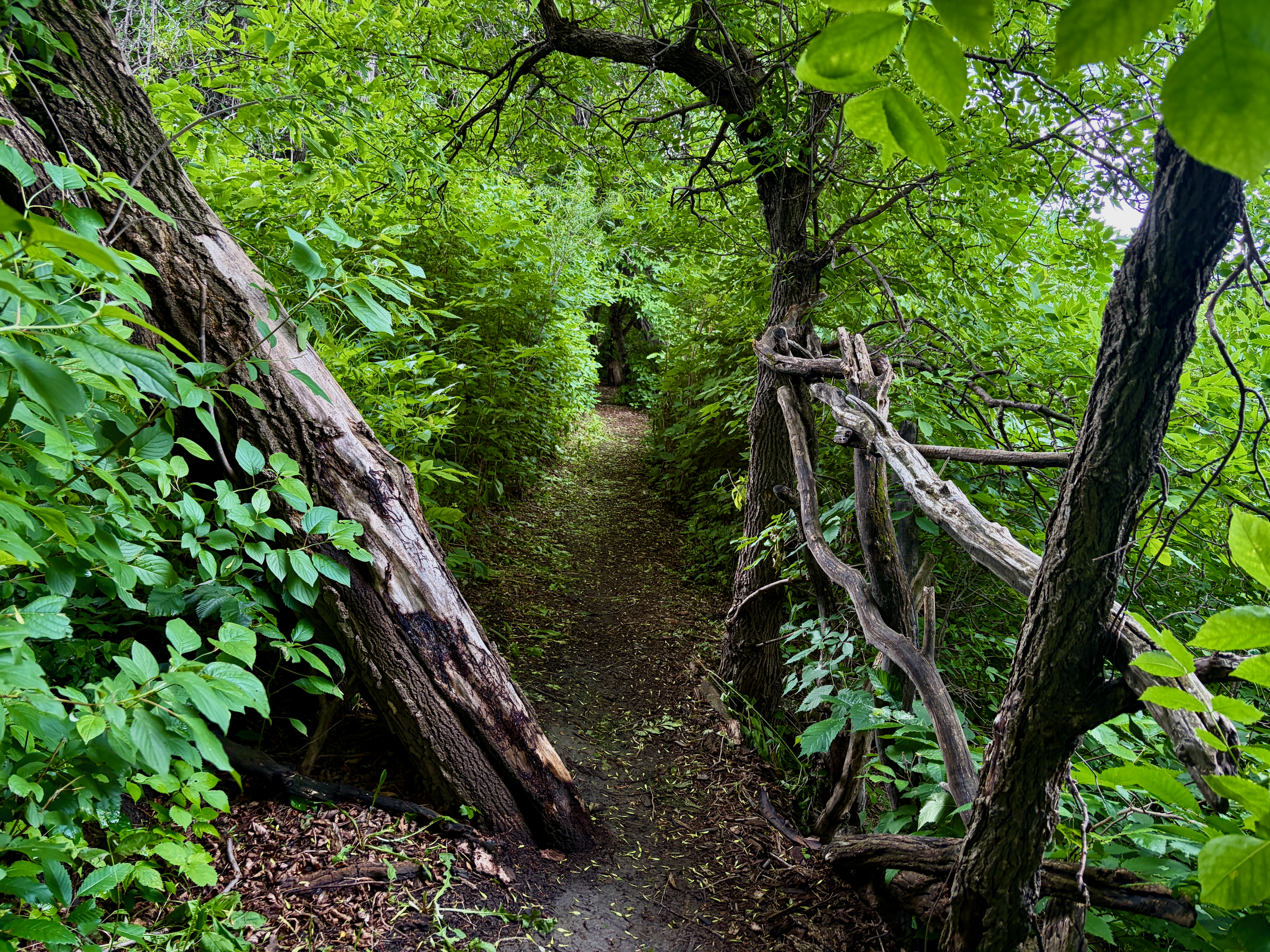
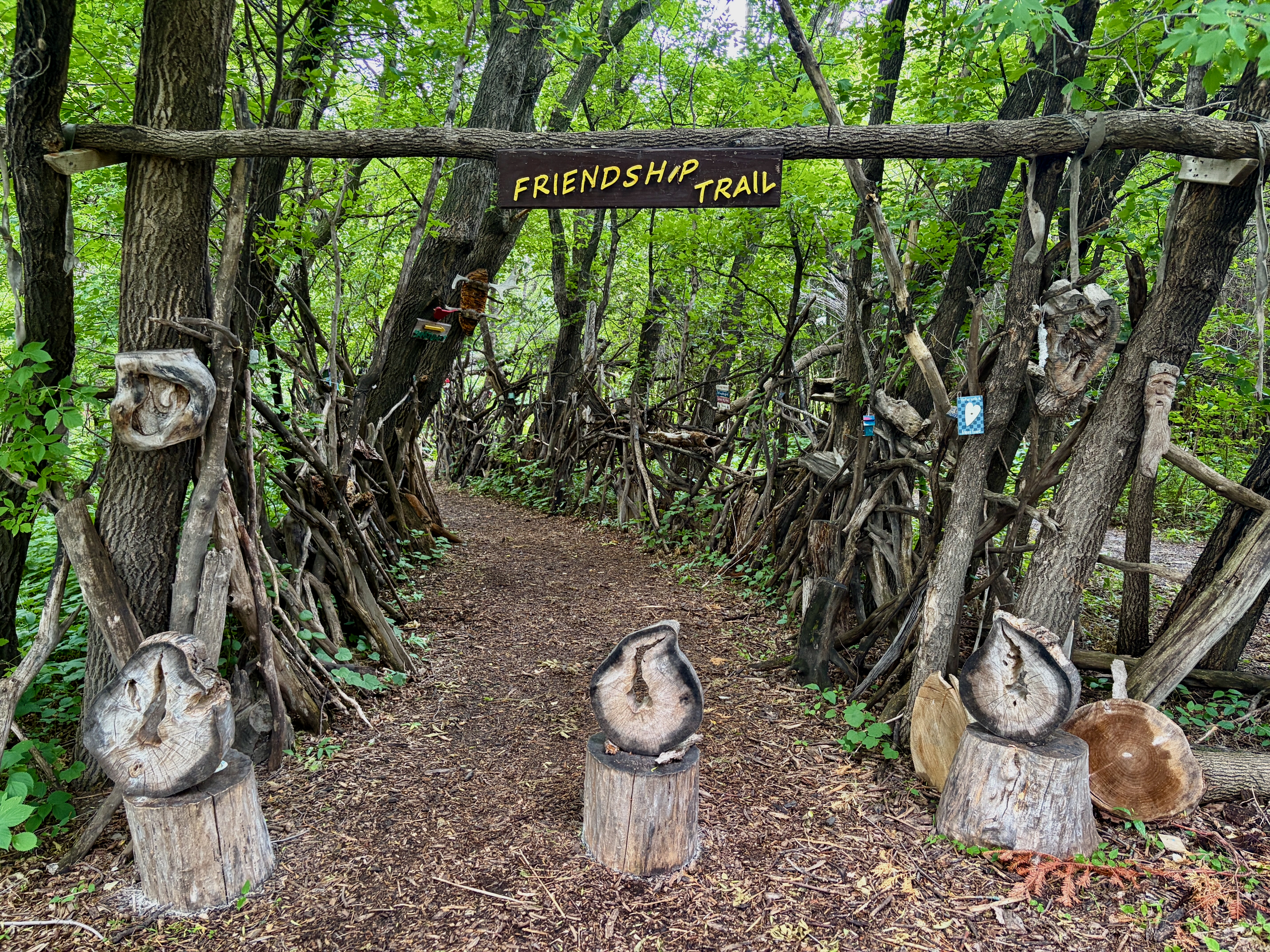
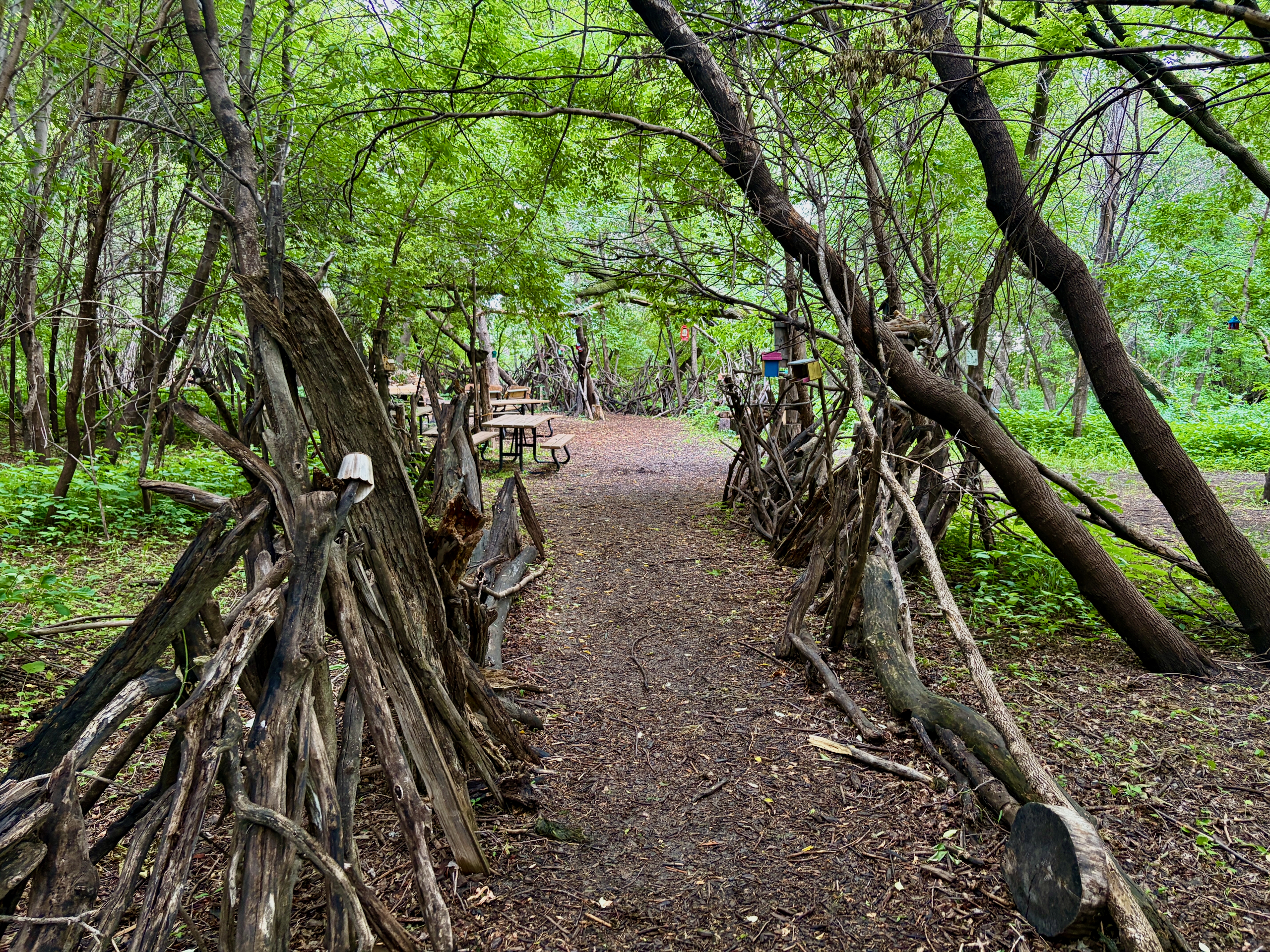
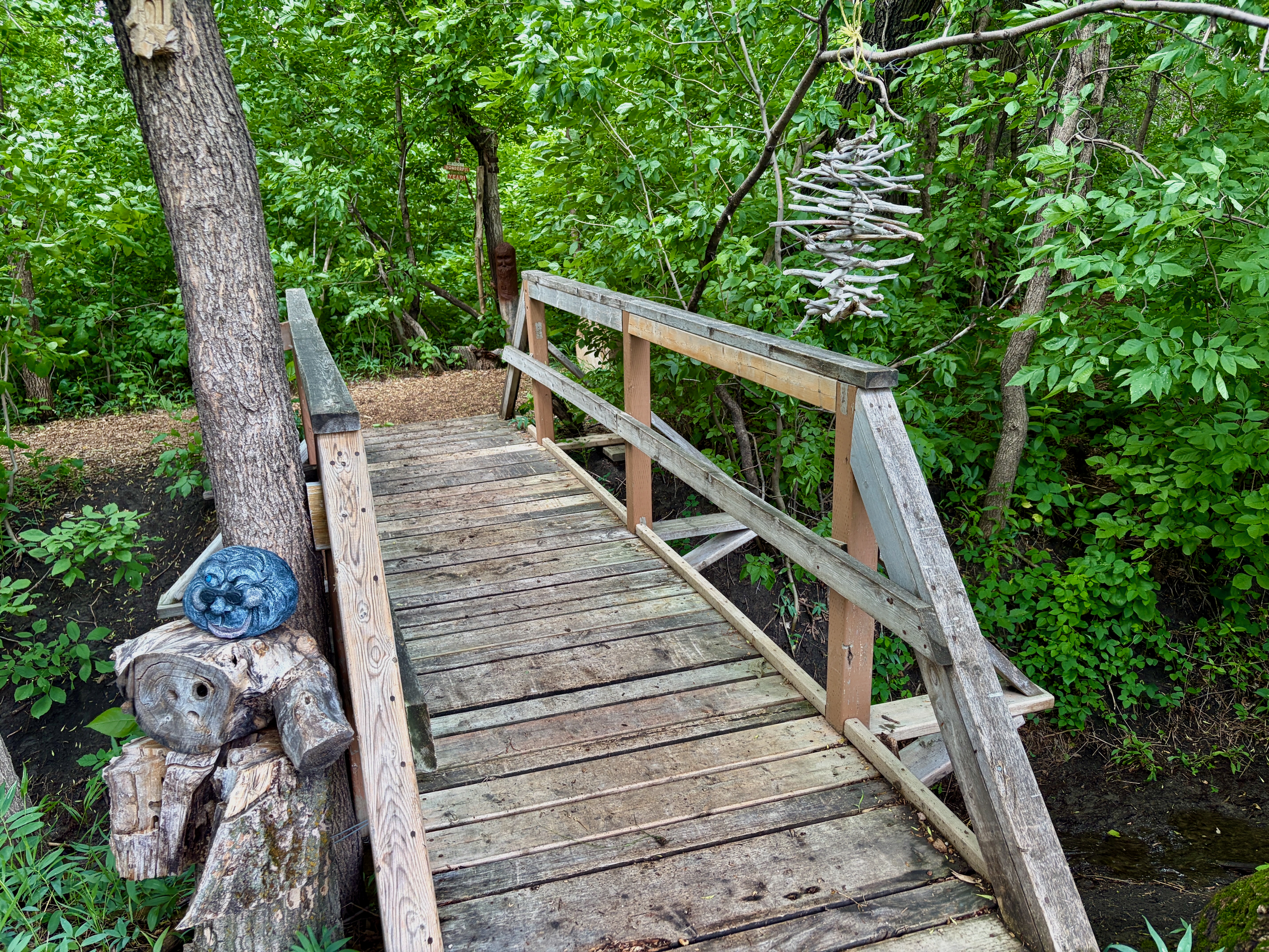
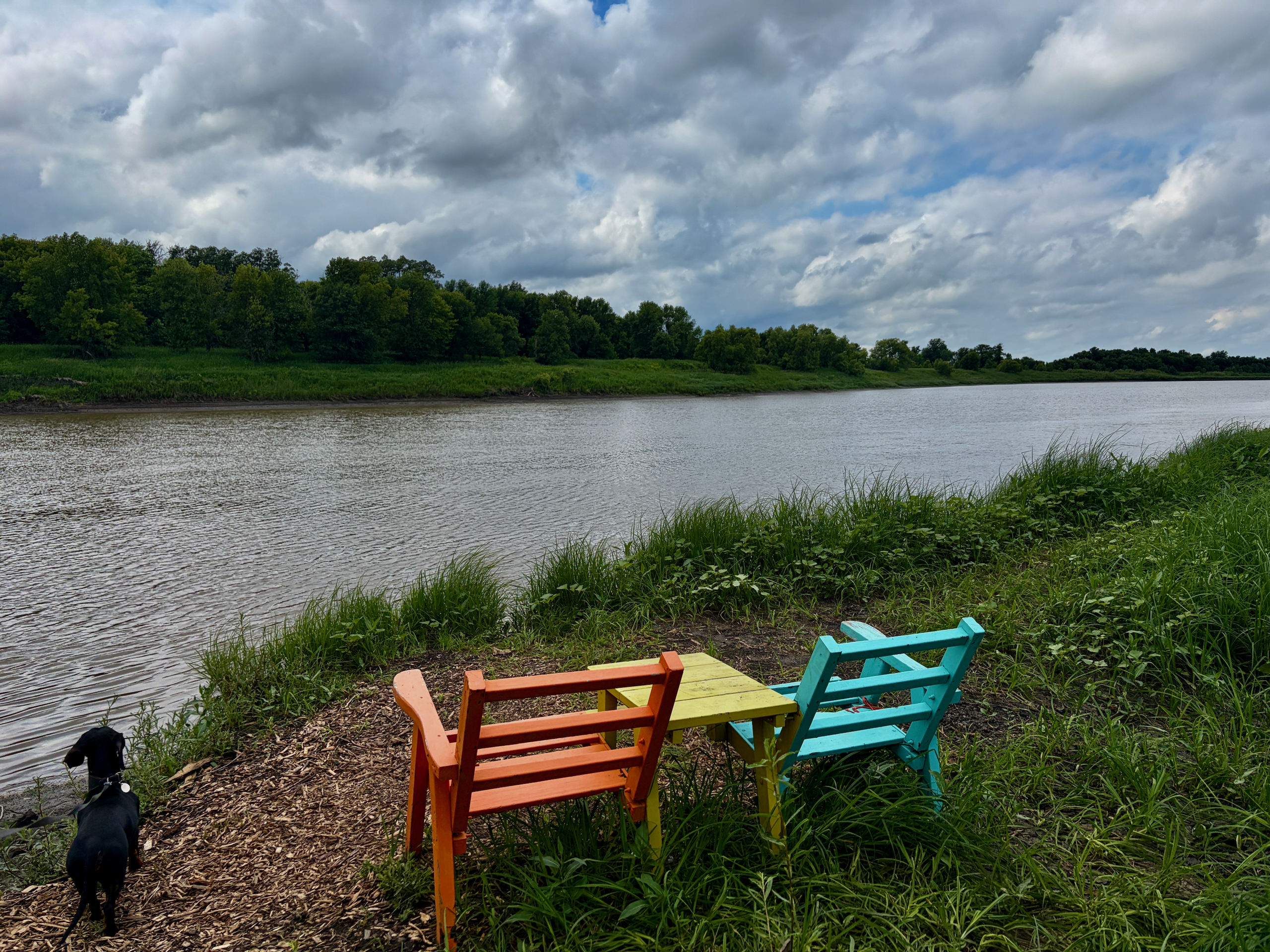
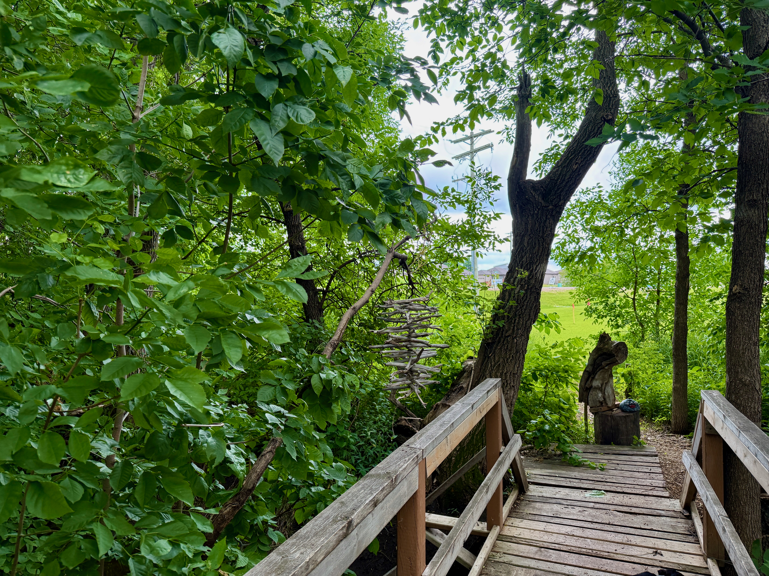
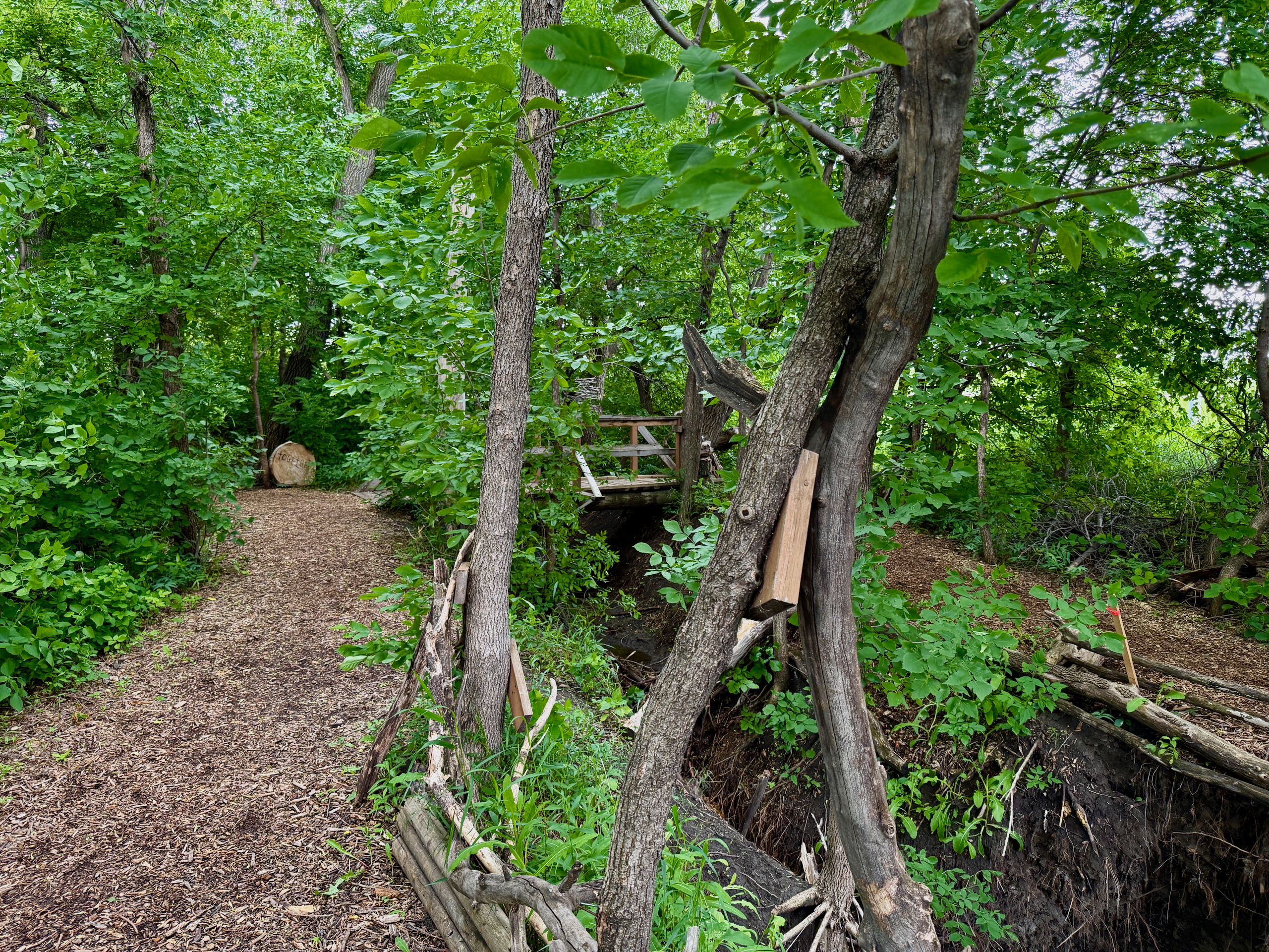
The trail is short but atmospheric. It runs along the Red River under tree cover, occasionally opening up to grassy spots with river views. It is not a loop — the path goes from the parking lot to the bridge and you walk back the same way. It’s mostly flat and easy, fine for kids and dogs on leash. It isn’t wheelchair-friendly, though: there’s uneven ground, a few steep spots and some narrow sections.
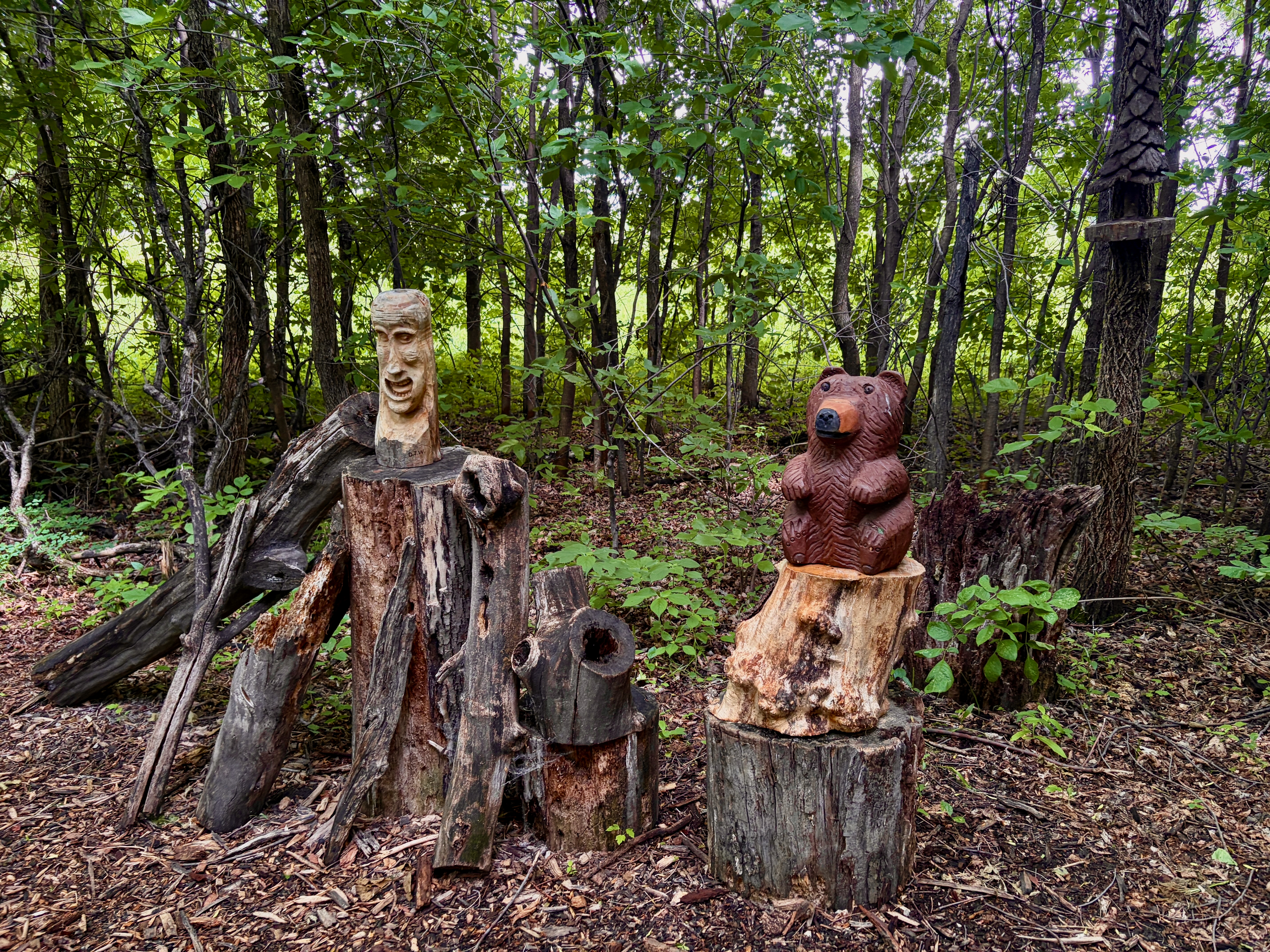
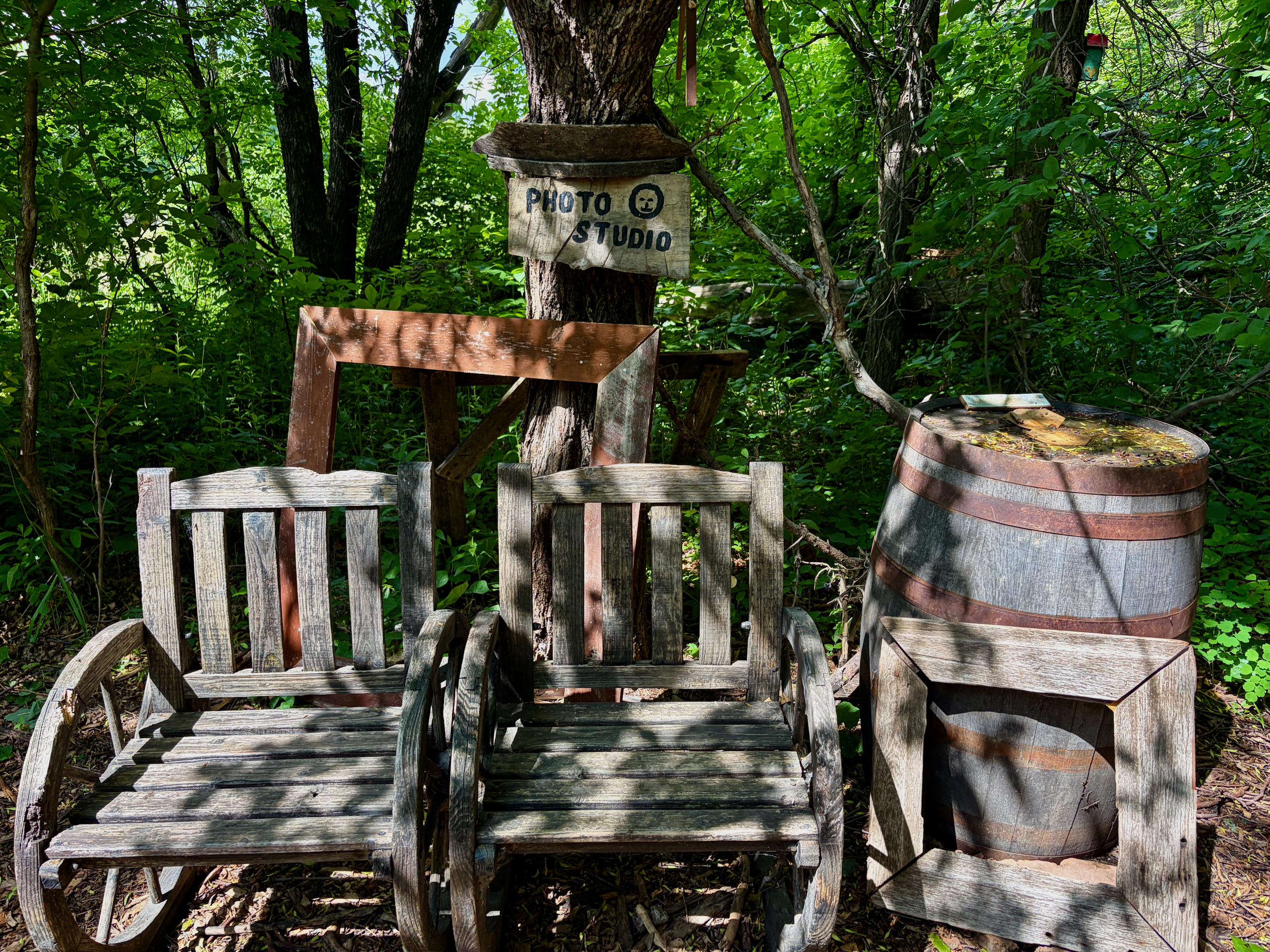
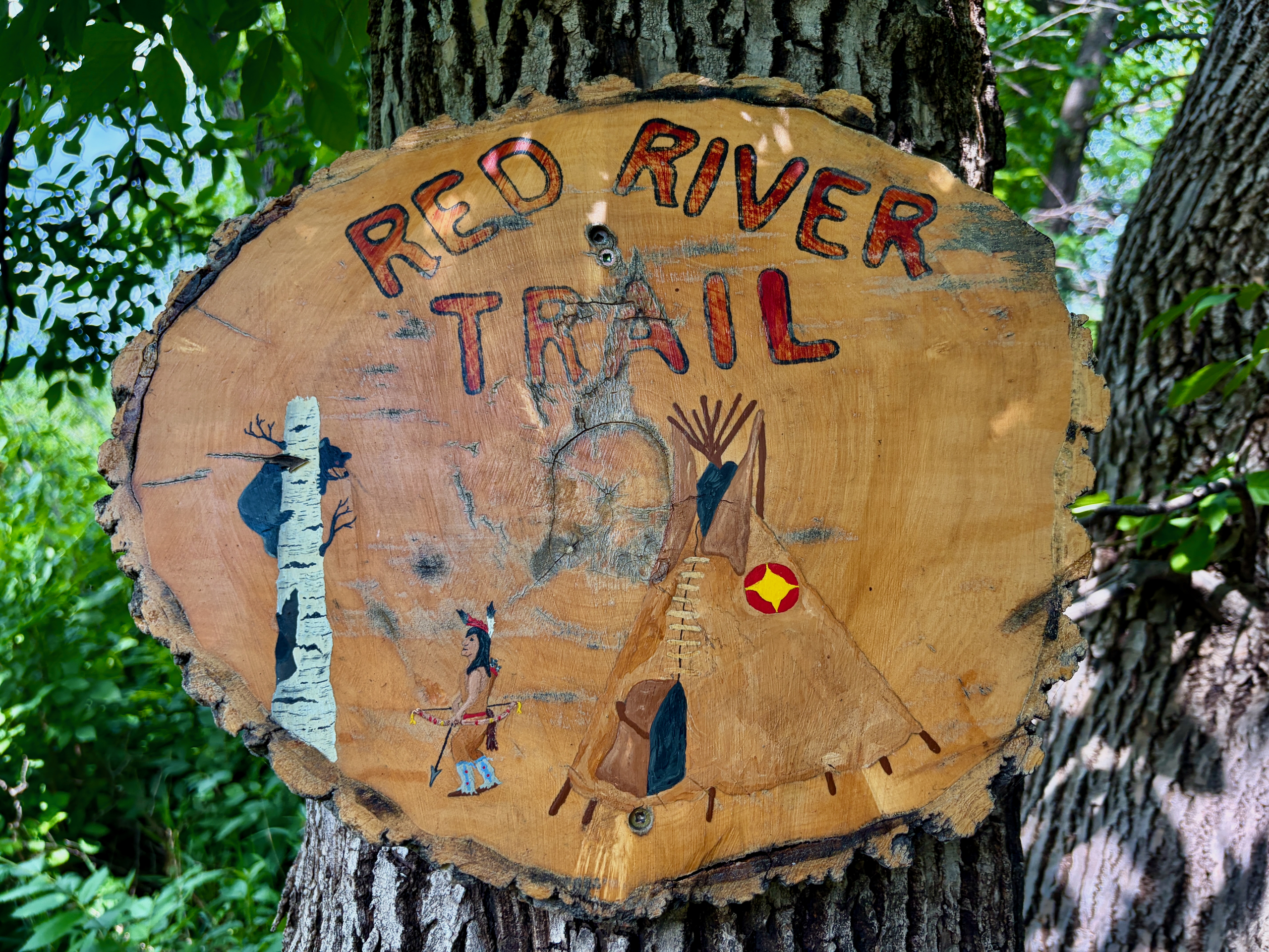
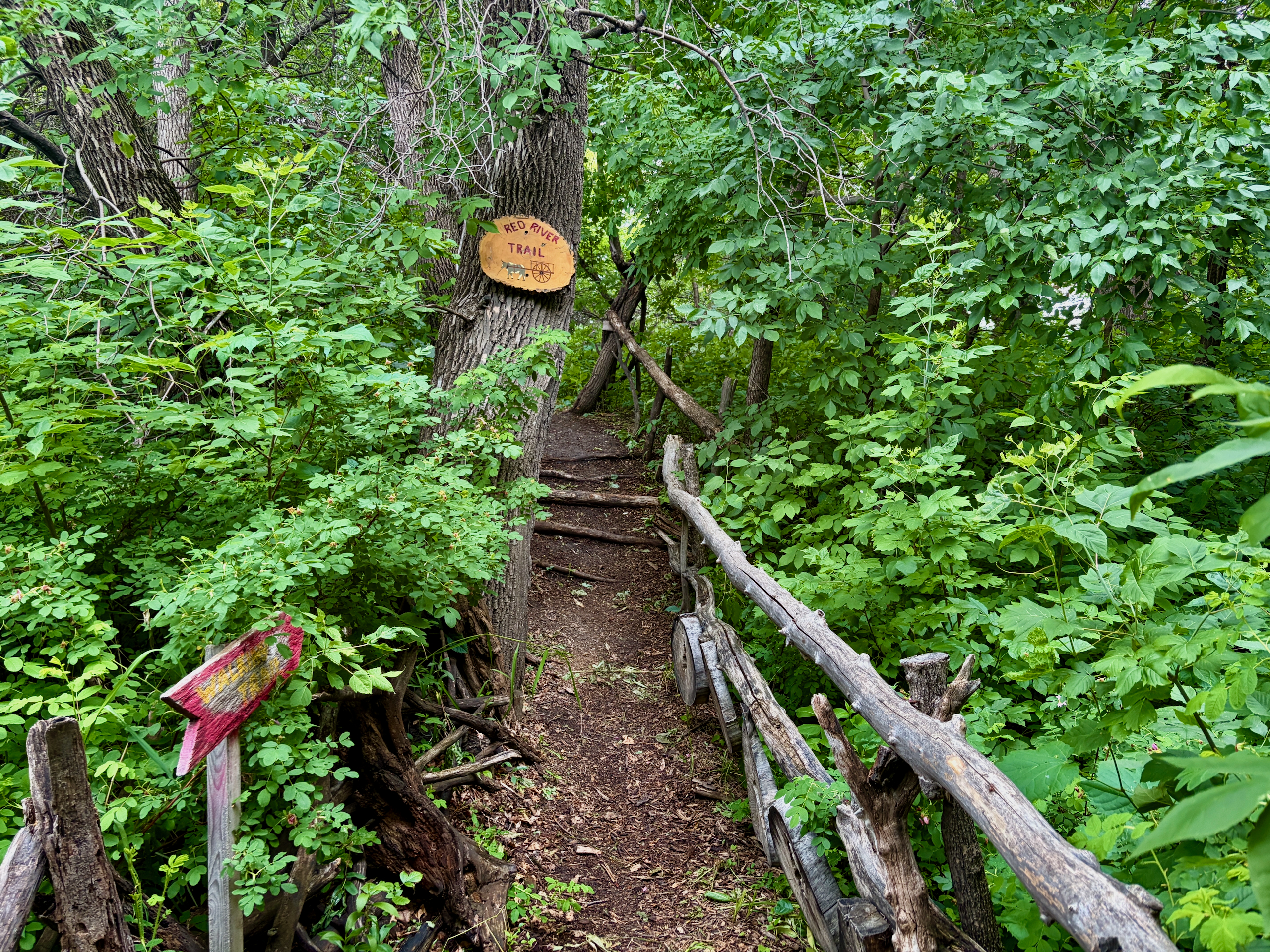
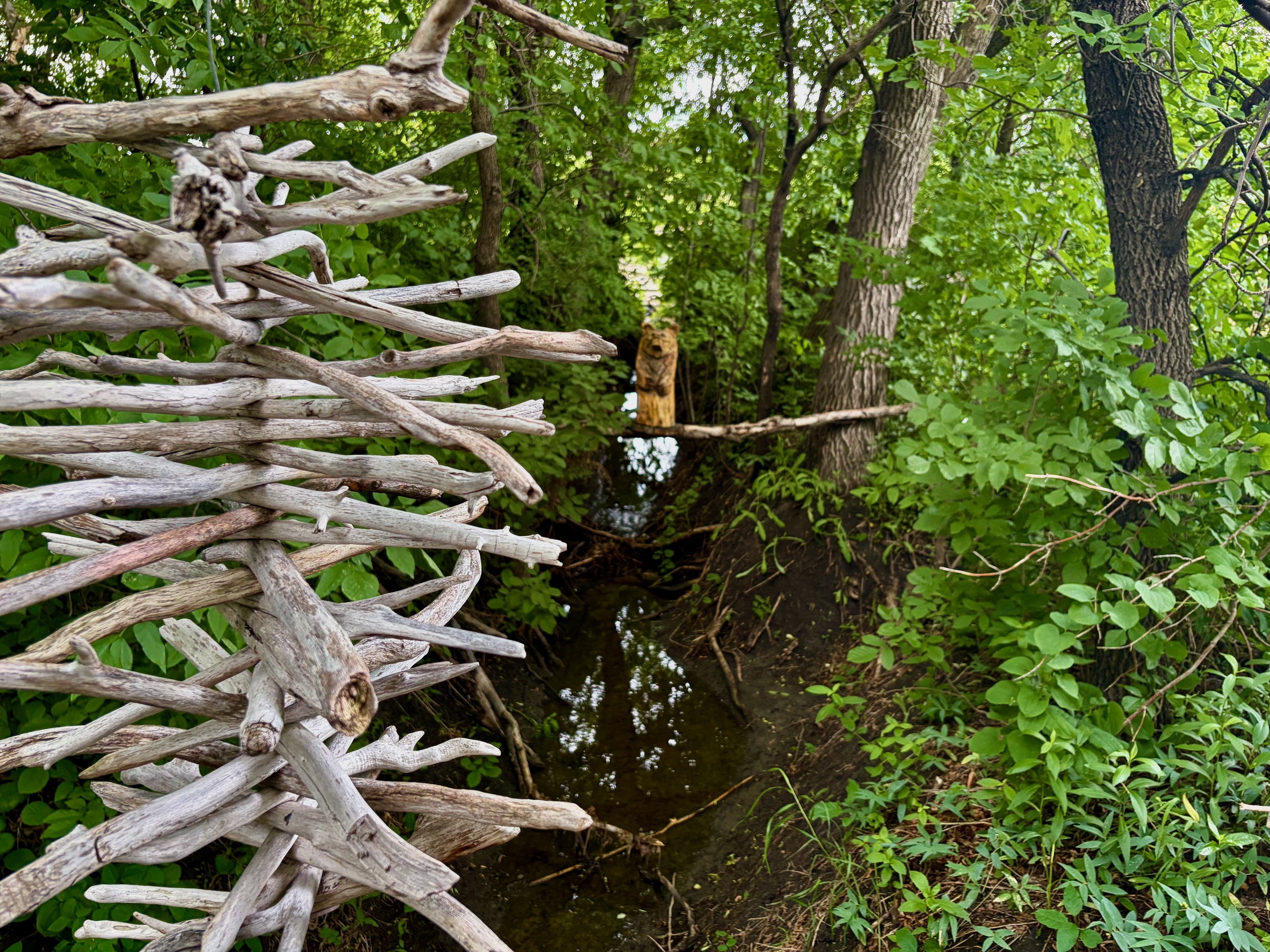
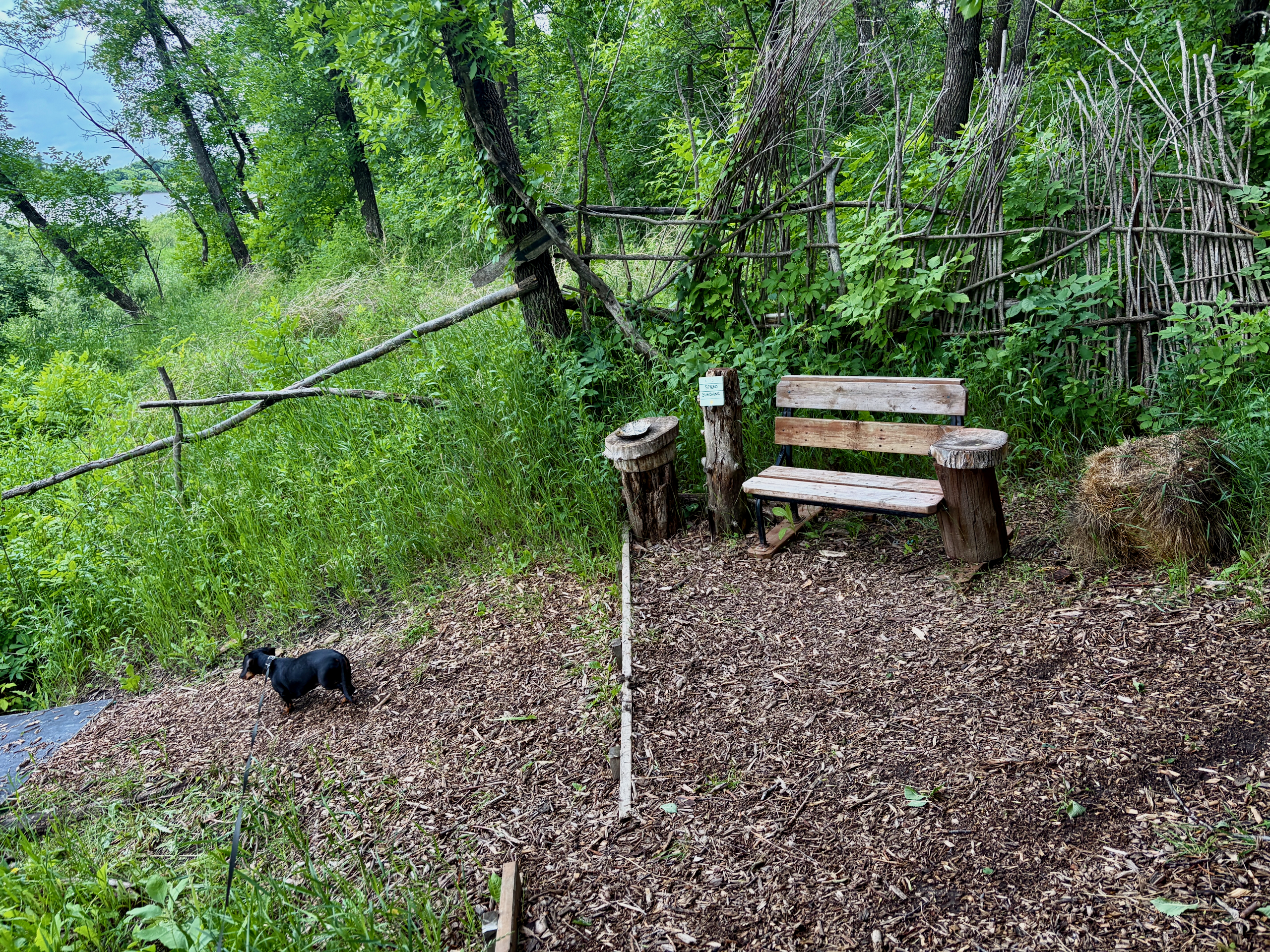
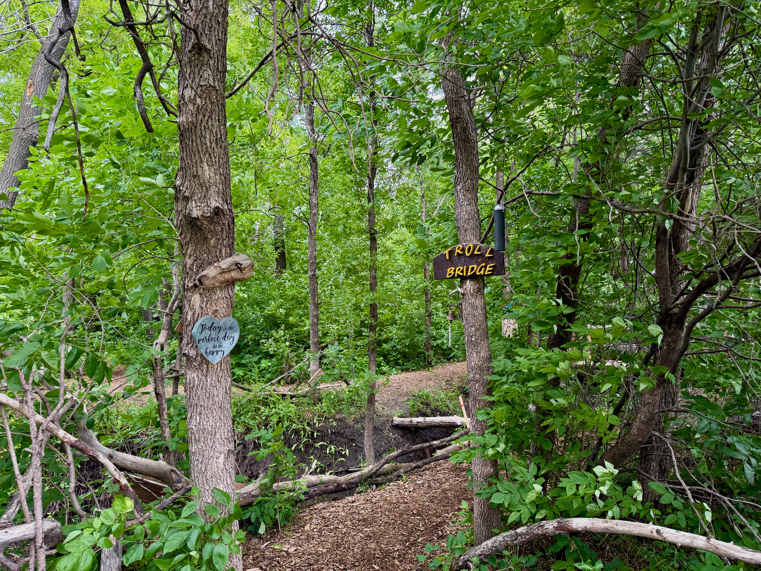
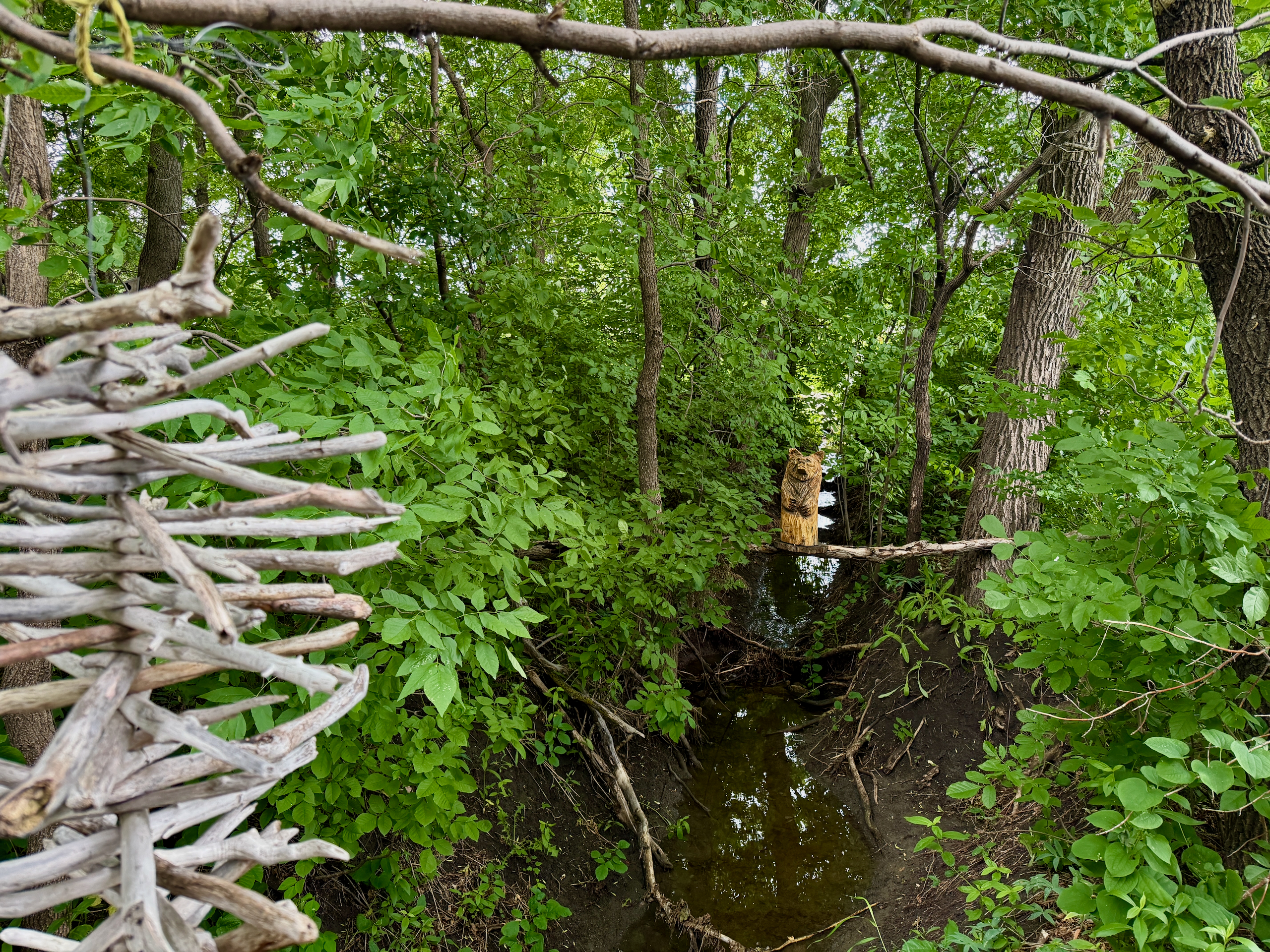
But the main reason to come is not the path itself — it is what is on it. The locals (more on them in our St. Adolphe Friendship Trail guide) have spent years creating wooden carvings, birdhouses, benches, and little rest nooks along the way. Crafts hang from the branches. Things sit in tree hollows. Unexpected installations appear along the path.
I will be honest — in some spots, it reminded me of shots from “The Blair Witch Project” or the show “From.” Not in a bad way. More like — I immediately wanted to come back here for Halloween with friends, in the dark, with flashlights and a thermos of mulled wine. The atmosphere is so specific even in daylight that picturing this trail on October 31 at dusk is a separate kind of pleasure.
We walked the whole trail in about an hour and change — not rushing, stopping at every interesting detail, letting Nika sniff everything she wanted to sniff.
What to Bring?
Bug spray, water, and — something I learned on the spot — food for a picnic.
- Bug spray — critical. The trail goes through forest and along the river. Without it, you will get eaten alive, especially after rain. We had long sleeves, but hands and faces are open targets
- Water. No shops or cafés on the trail. Half an hour of walking is not nothing, especially with kids or a dog
- Toilet — there’s only a portable toilet in the parking lot, none on the trail itself
- Snacks for a picnic. And here is my mistake, which I am correcting for you. The trail has built campfire spots, and the volunteers leave firewood next to them. We did not know and brought nothing — next time we will bring sausages, skewers and a thermos. Your own firewood doesn’t hurt either: after rain, the wood left on site can be wet
- Phone charge. You will want to take photos — there is genuinely a lot to capture
- Closed shoes and clothes. After rain, expect mud and puddles — it is a riparian trail
- Leash for your dog — this is required, not optional
What not to bring: a big backpack with everything. This is not a hike, it is a short walk. Excess weight only gets in the way.
When to Go?
Any season, but wait a day or two after heavy rain.
- Summer (June–August). Green, shaded, but mosquitoes. Busiest, though “busy” here means a few groups passing on a walk, not crowds
- Fall. The most beautiful — leaves, colours, fewer mosquitoes, great light for photos. To see the trail in October with a campfire until dark, read our fall day in Steinbach and on the Friendship Trail
- Winter. Active trail, locals bring Christmas trees and decorations. There is even tobogganing
- Early spring — avoid. The Red River floods, and the trail goes underwater regularly. Wait until the water recedes (usually late April / early May)
- After rain — give it time. Riverside soil dries slowly, otherwise you are walking through mud
We went on a Sunday after overnight rain. Muddy in spots, but not critically. If the rain had been heavier, we would have wished we had waited another day.
Quick Reference
| What | Details |
|---|---|
| Start | Winnipeg |
| End | St. Adolphe Friendship Trail |
| Distance | ~30 km one way |
| Drive time | ~30 minutes on Highway 75 and MB-200 |
| Parking | 1530 MB-200, Ritchot — NOT right after the bridge |
| Toilet | portable toilet in the parking lot only |
| The trail itself | 2.7 km out-and-back, ~30 min walking |
| With stops | 1–2 hours |
| Difficulty | easy, but not wheelchair-friendly |
| Must bring | bug spray, water |
| Next time bonus | bring sausages — there are campfire spots with firewood |
| Season | year-round (avoid early spring) |
| Dog-friendly | yes, on leash |
If you are curious how we got into these short, unplanned drives — I wrote about it in the 40-minute rule post. St. Adolphe is exactly that case: half an hour out, half a day of free time, and a fully reset evening on the way back.
And if you want to learn more about the trail itself — its history, the people who built it, and all its features — that is in our St. Adolphe Friendship Trail guide.
P.S. We did make it back for Halloween — well, Anna did, with friends, two weeks before: a fall day in Steinbach with a campfire on the Friendship Trail.
Last checked: October 2026. First visit — a summer Sunday in 2026 after overnight rain, with Nika. The portable toilet in the parking lot and the accessibility notes were confirmed on our second visit on October 17, 2026.
Sources checked: CPAWS Manitoba (trail length, accessibility).