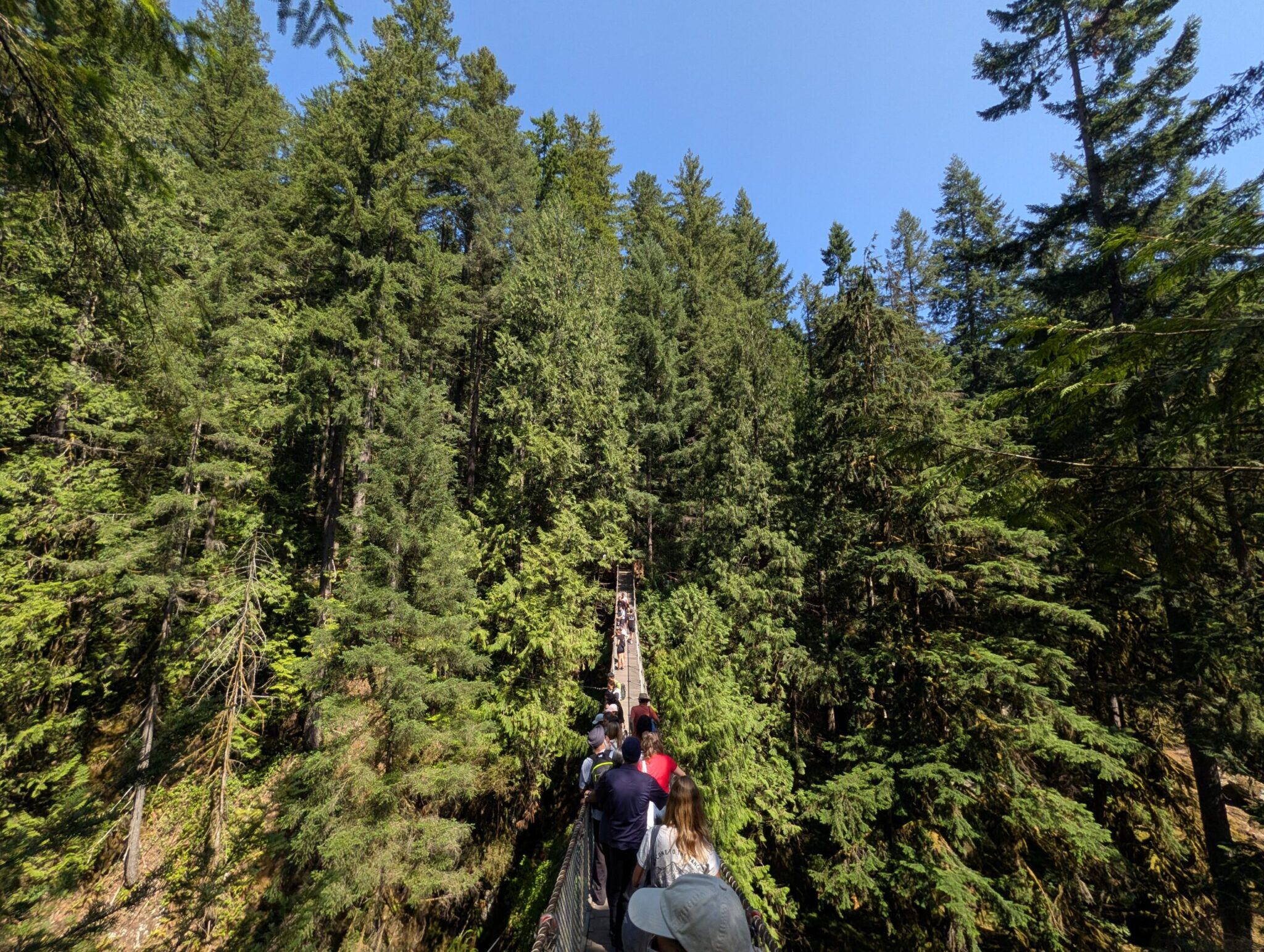


A 2.7 km community-built out-and-back trail along the Red River. 45 birdhouses, wooden carvings, benches, two campfire spots — all hand-built and free for everyone.
If you live in Winnipeg and need a short walk with character, the St. Adolphe Friendship Trail is one of the best options within an hour’s drive. A small trail along the Red River that would be easy to miss on a map, but with a story worth knowing before you go.
To see what our summer day there looked like — with Anna and our dachshund Nika, after overnight rain — read our summer day trip to the Friendship Trail. For the trail in the fall, with a campfire until well after dark, see our fall day in Steinbach and on the Friendship Trail. This post is about the trail itself and the people who built it.
Updated October 2026: Anna came back with friends on October 17. The sections on fall, campfires and the toilet are now from our own experience.
What Is This Trail?
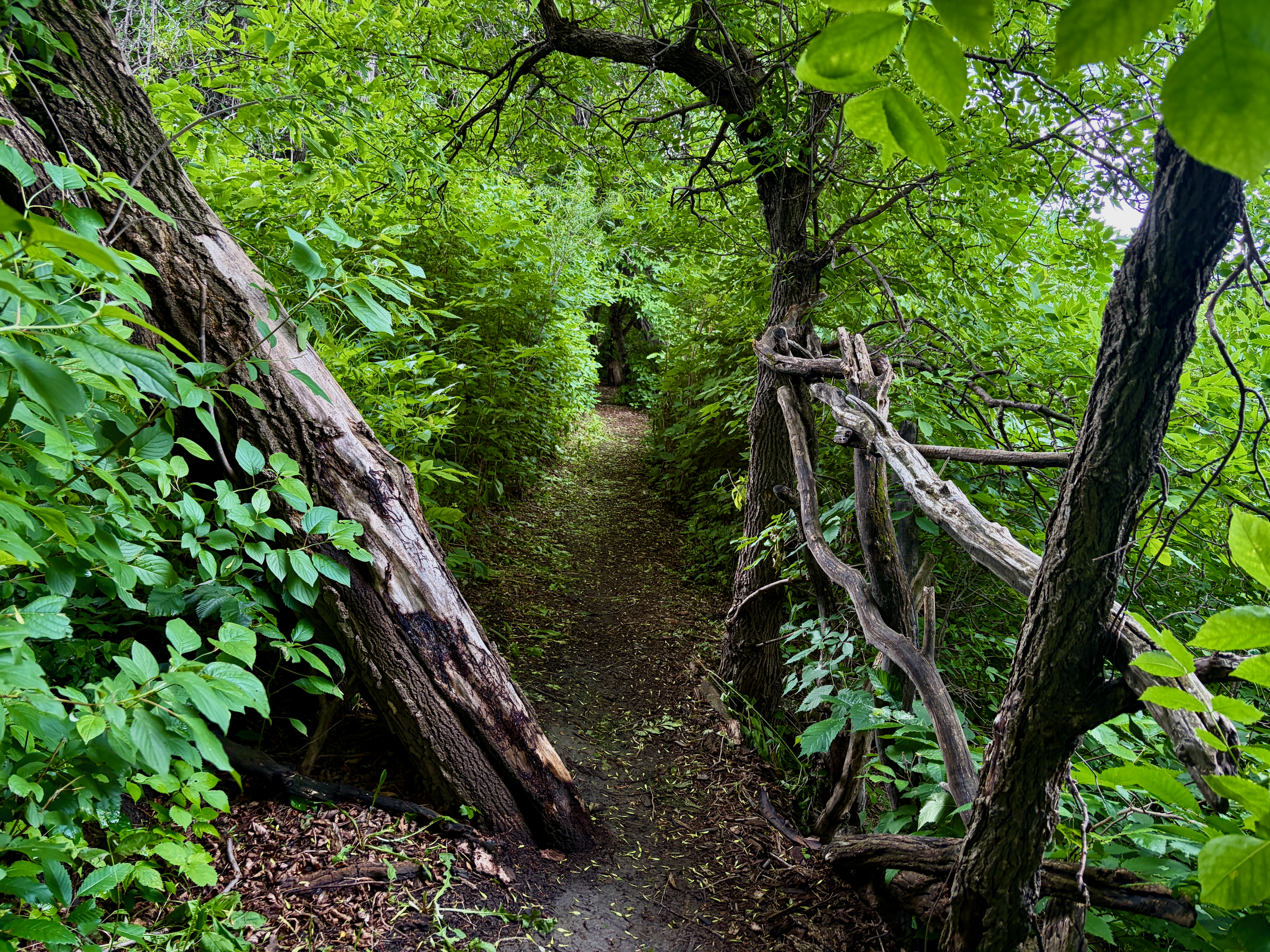
A 2.7 km out-and-back trail along the Red River in the town of St. Adolphe, ~30 minutes south of Winnipeg. Free, open year-round, and easy for most fitness levels. It isn’t wheelchair-accessible, though: the ground is uneven, and there are a few steep spots and narrow sections. It is not a loop — the path goes from the parking lot to the bridge and back the same way.
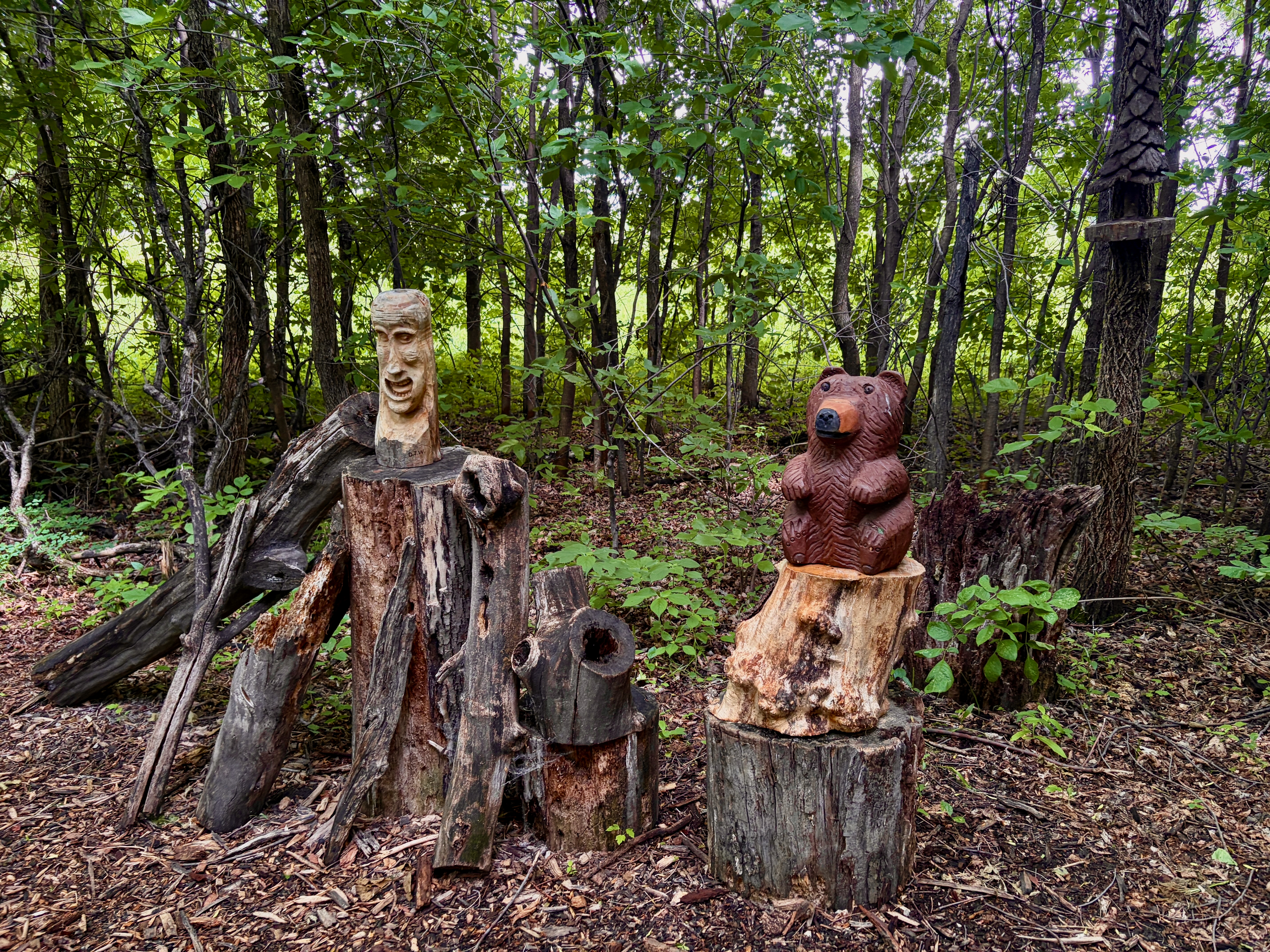
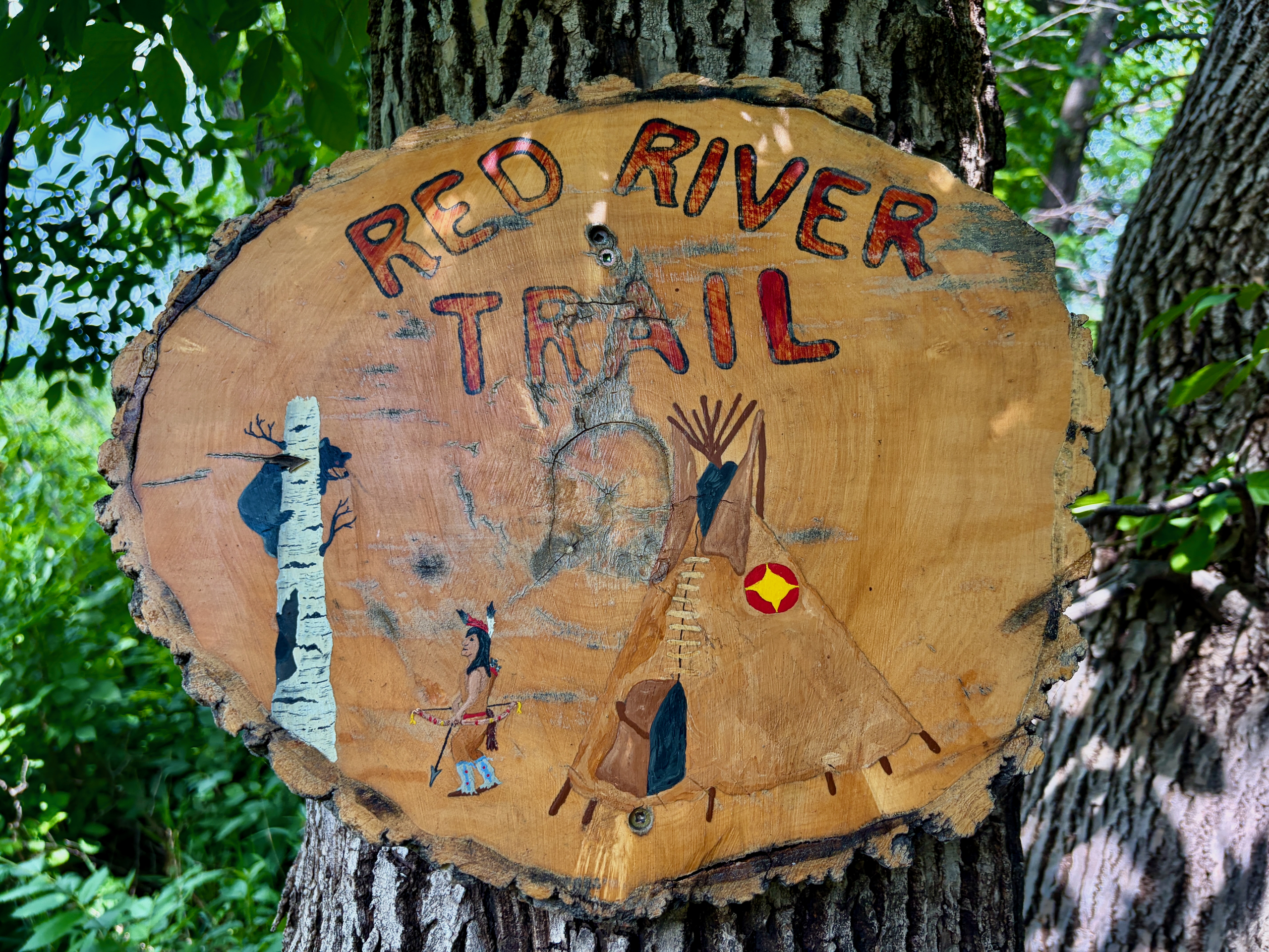
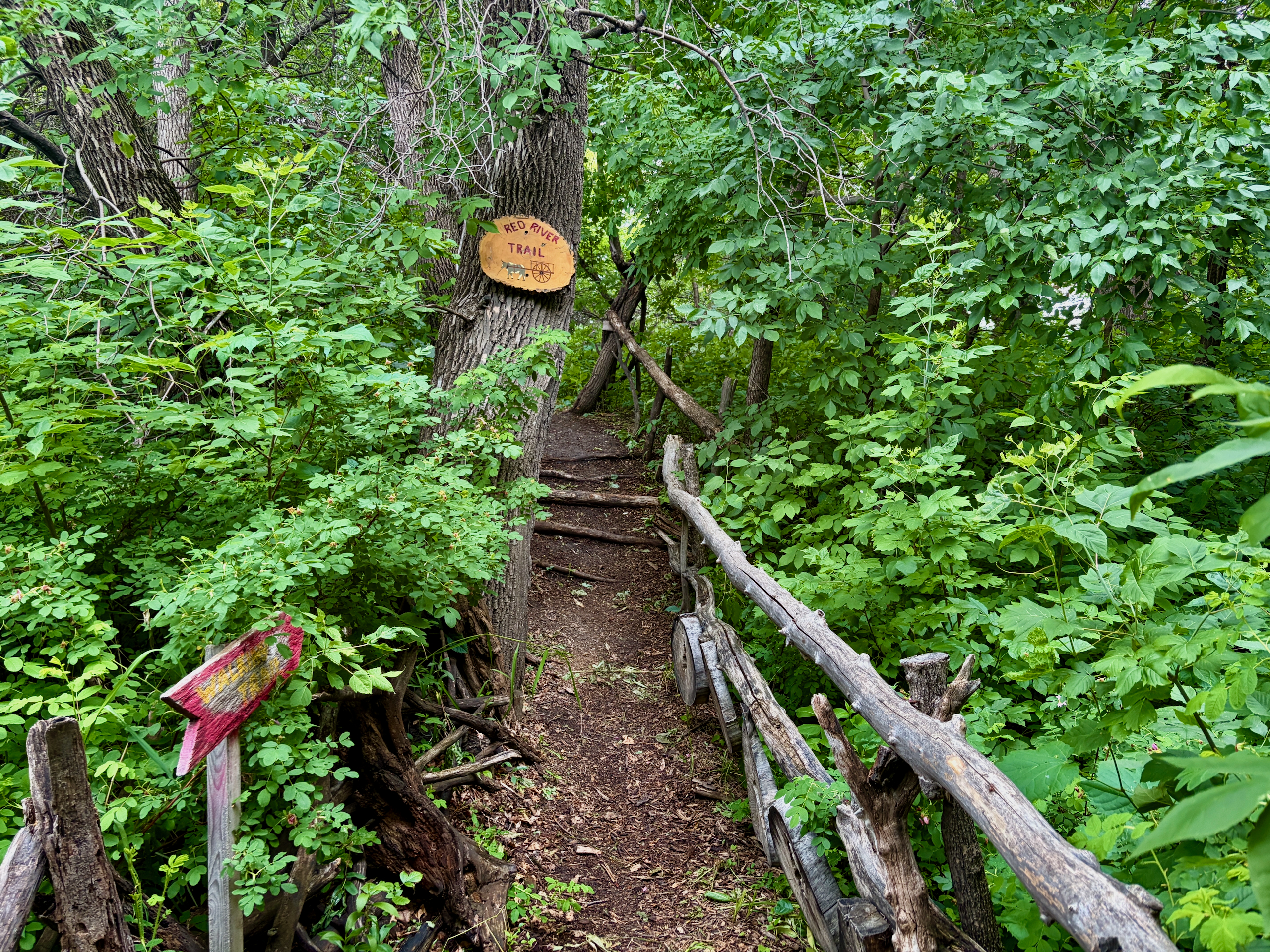
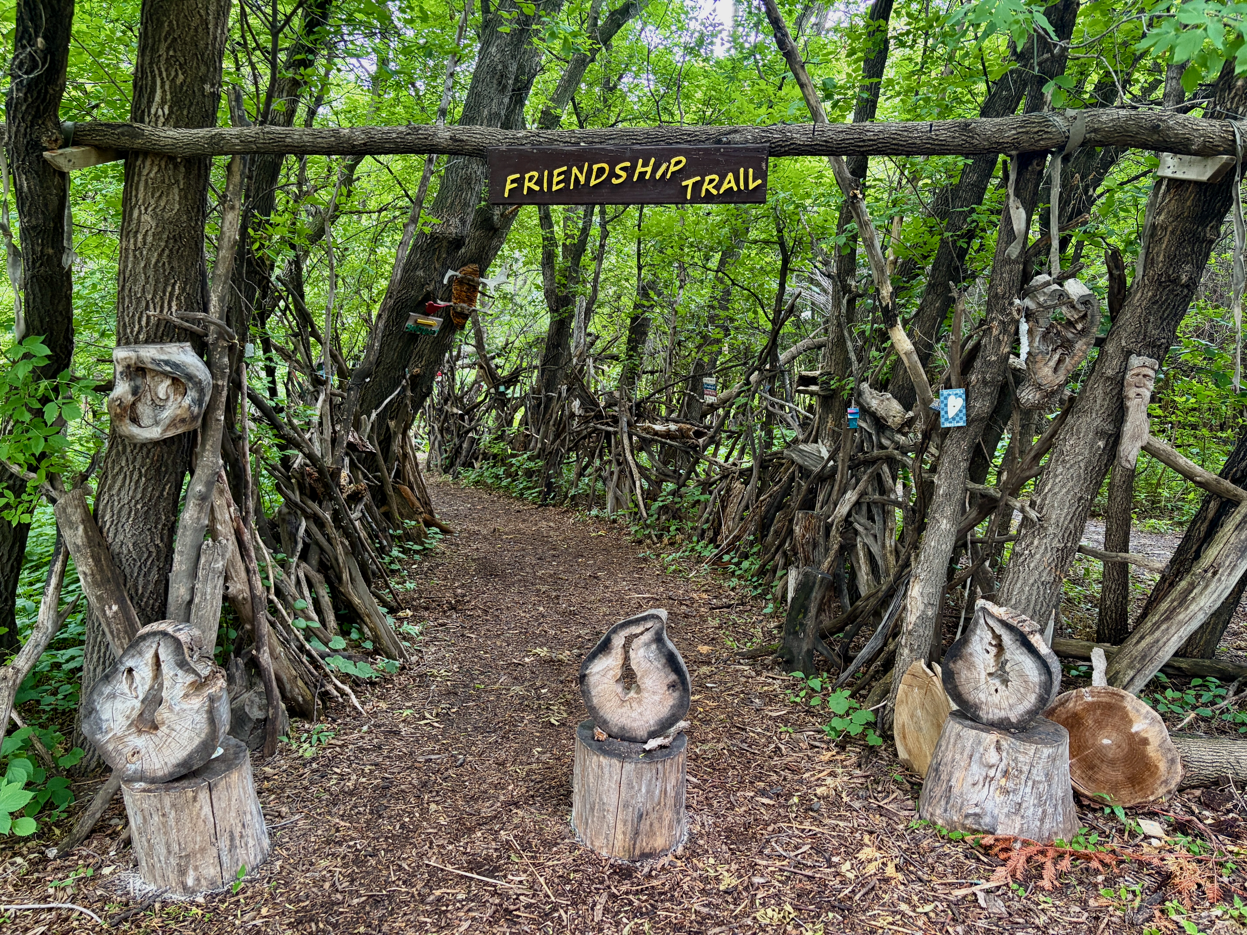
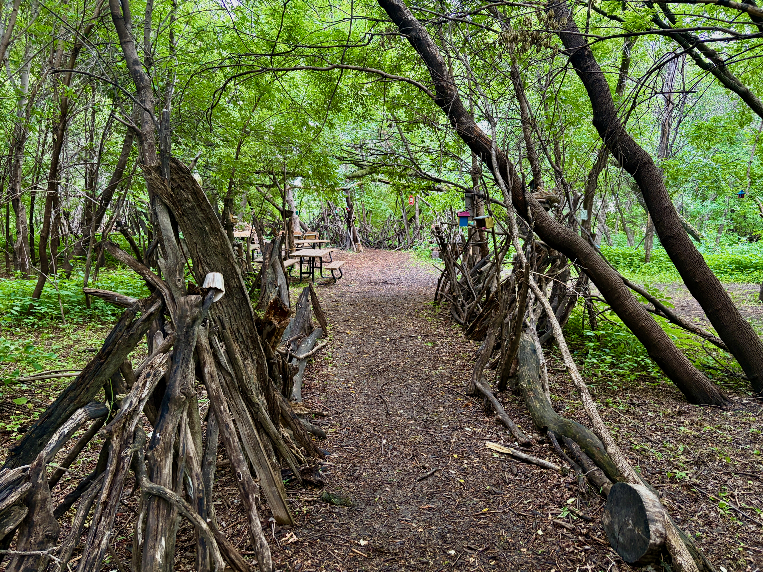
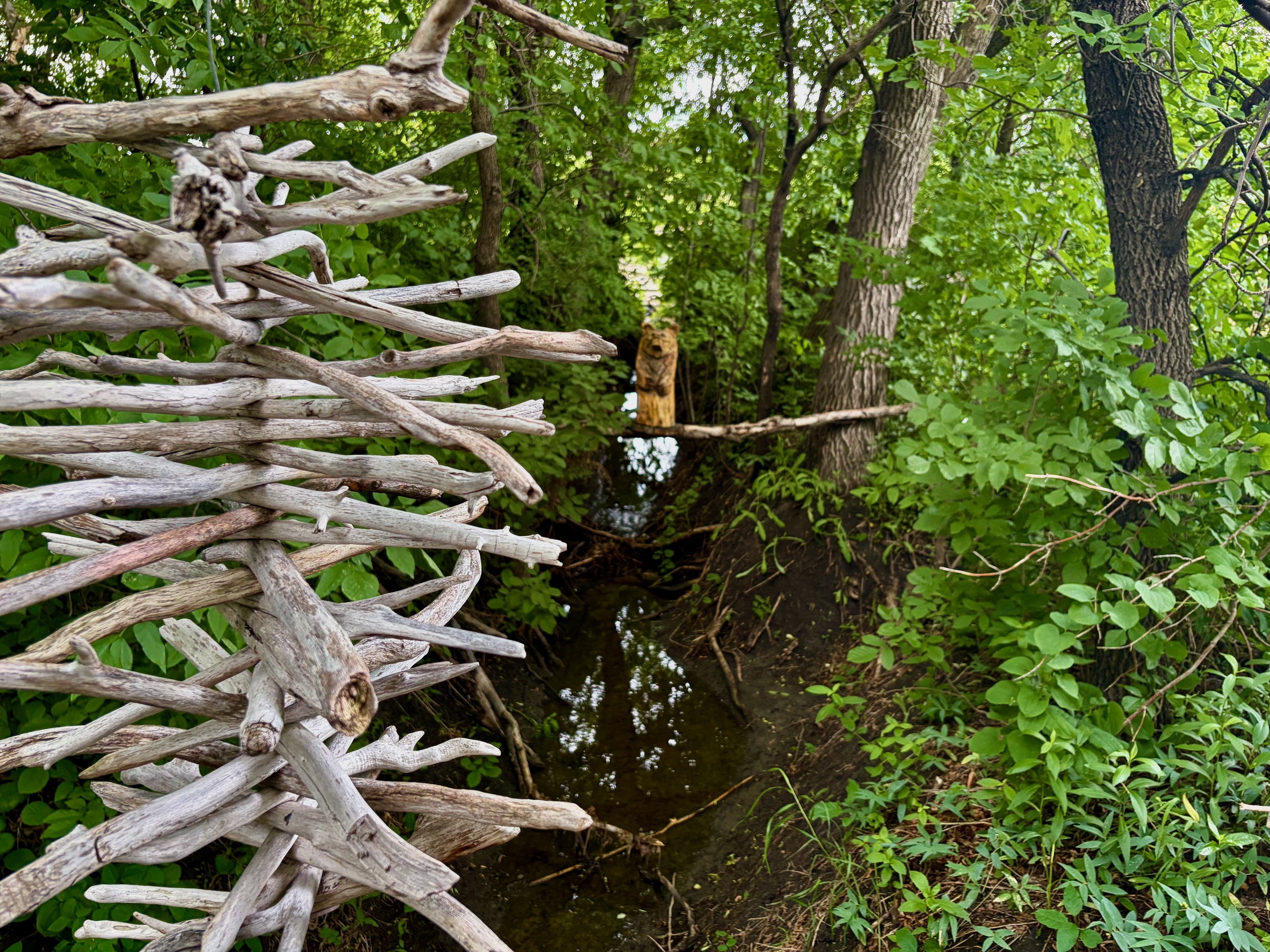
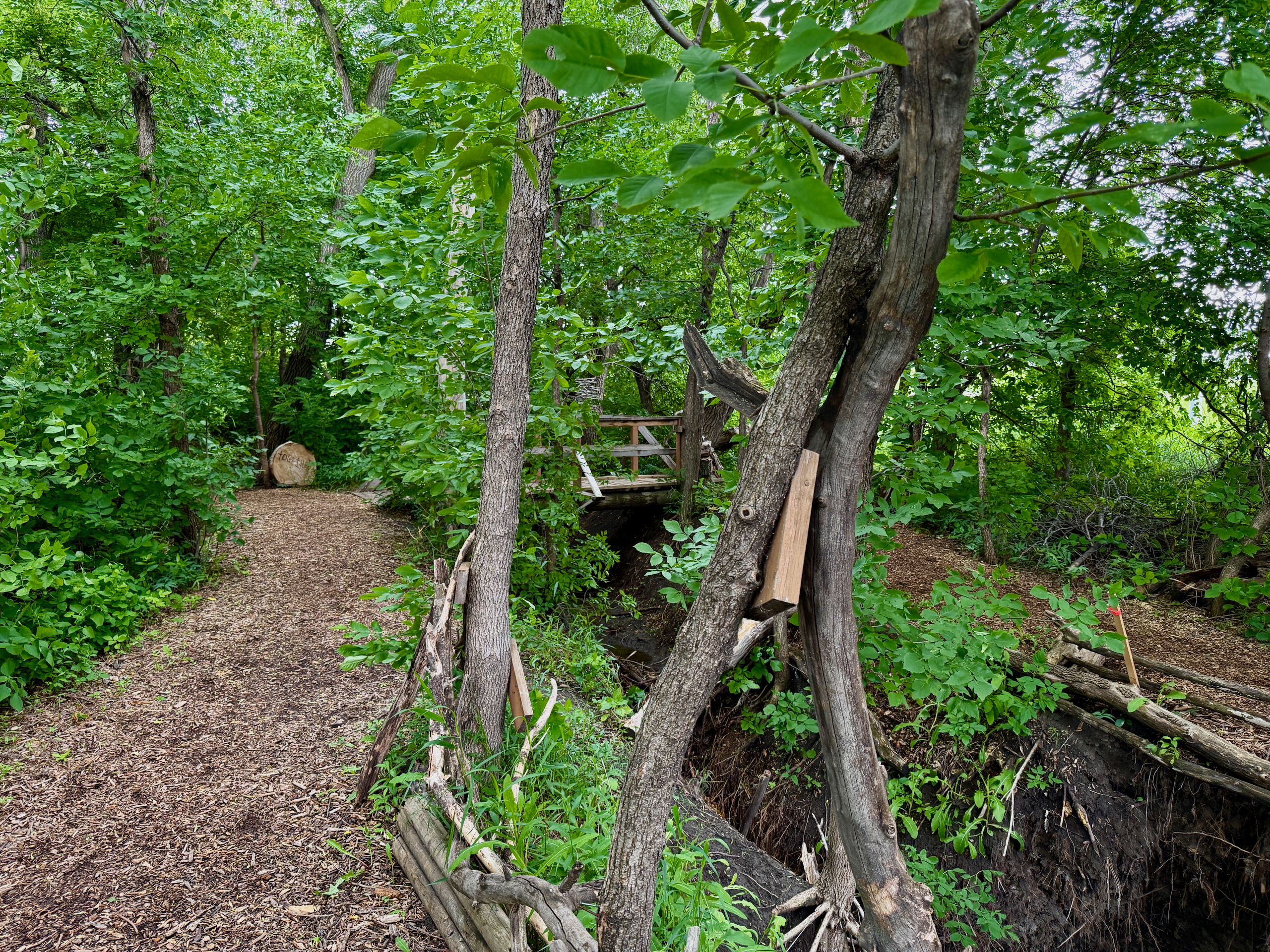
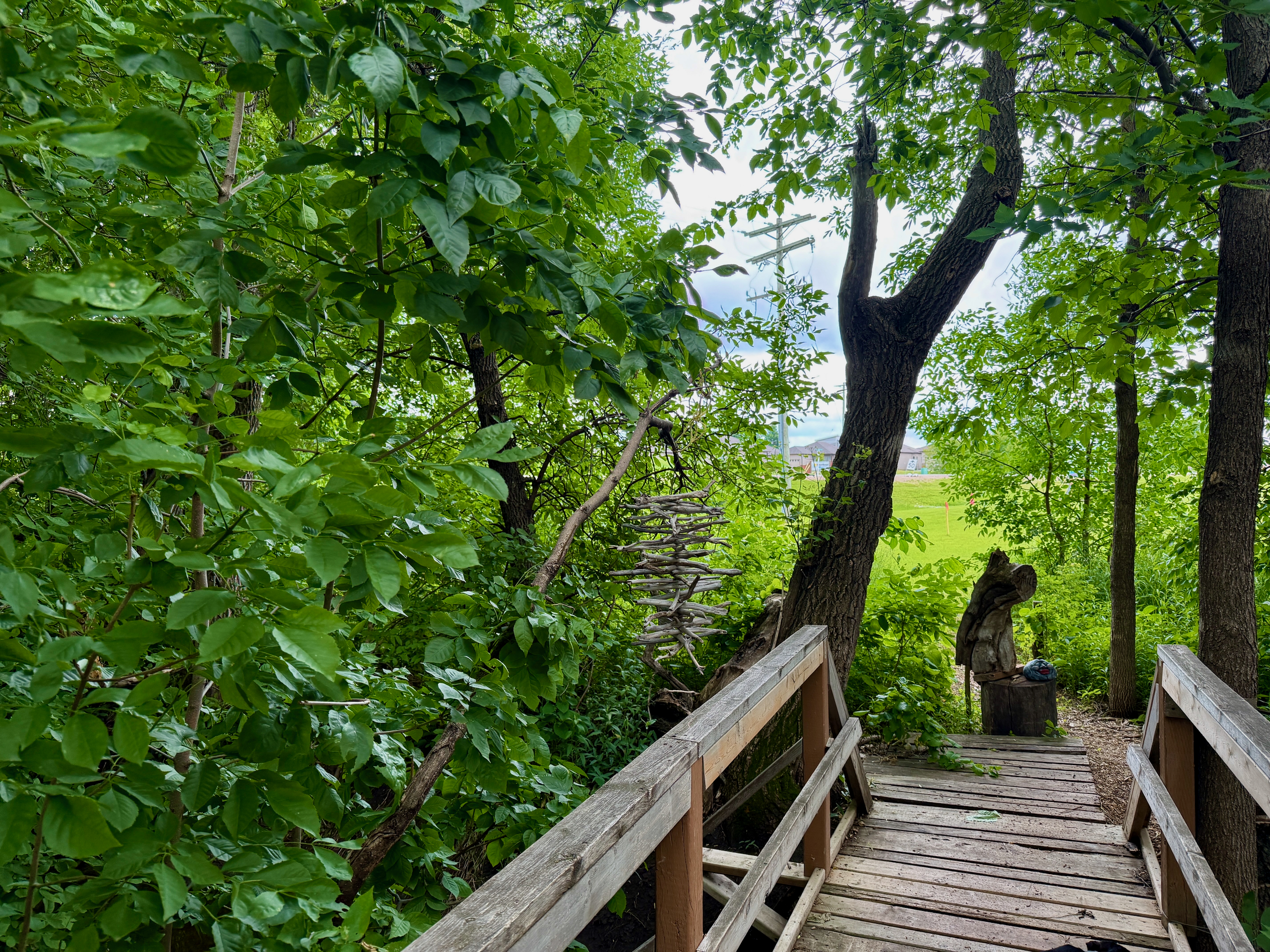
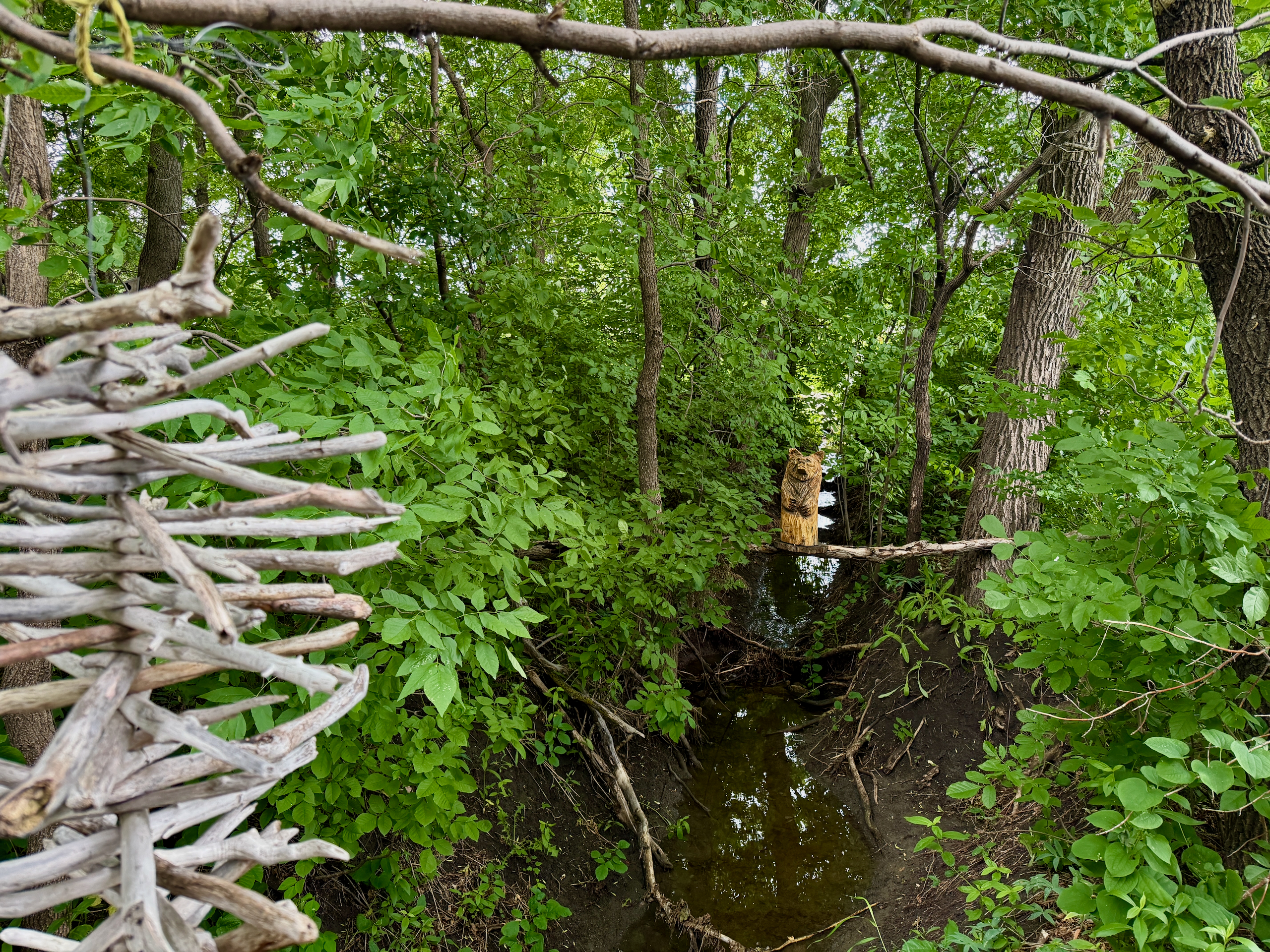
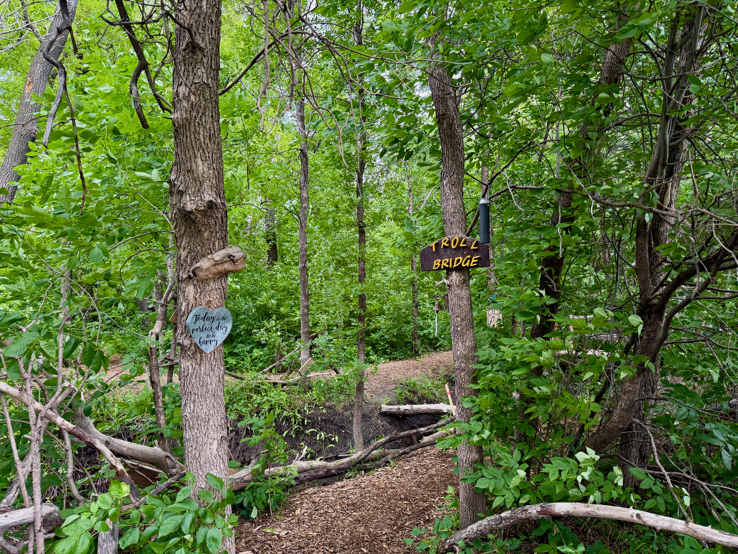
The trail is not just a path through the woods. It is a community project, created and still maintained by local volunteer residents. It has everything that makes a walk interesting: wooden carvings made from stumps, birdhouses painted by children, benches at lookout points, swings, picnic spots and campfire areas. All hand-built. All free for visitors. And all held together by the enthusiasm of a handful of people.
Who Built It and Why?
A few St. Adolphe seniors during the 2020 pandemic. It started with garbage cleanup along the riverbank — and grew into a full trail project.
The story is worth its own attention. In 2020, when the world locked down at home, several older St. Adolphe residents decided they needed something to do. They started simple: walking along the Red River banks, cleaning up trash. Along the way, they realized a fallen tree could be given a second life — a stump could become a bench, driftwood the base of a table.
That is how the whole thing rolled. The founders of the project are Gerry Lagasse, Henriette and Richard Collette, who were later joined by Bill Gibson, Diane Delorme, and others. Over time the committee grew, and the trail turned into a real community landmark.
The volunteers still walk the trail often. You’ll recognize them by their sweatshirts with the Friendship Trail logo and name. In October 2026, two of them walked over to Anna and her friends at the campfire — just to say hello and ask how they were enjoying it.
Today the Friendship Trail features:
- 45 birdhouses, painted by children from St Adolphe Day Care
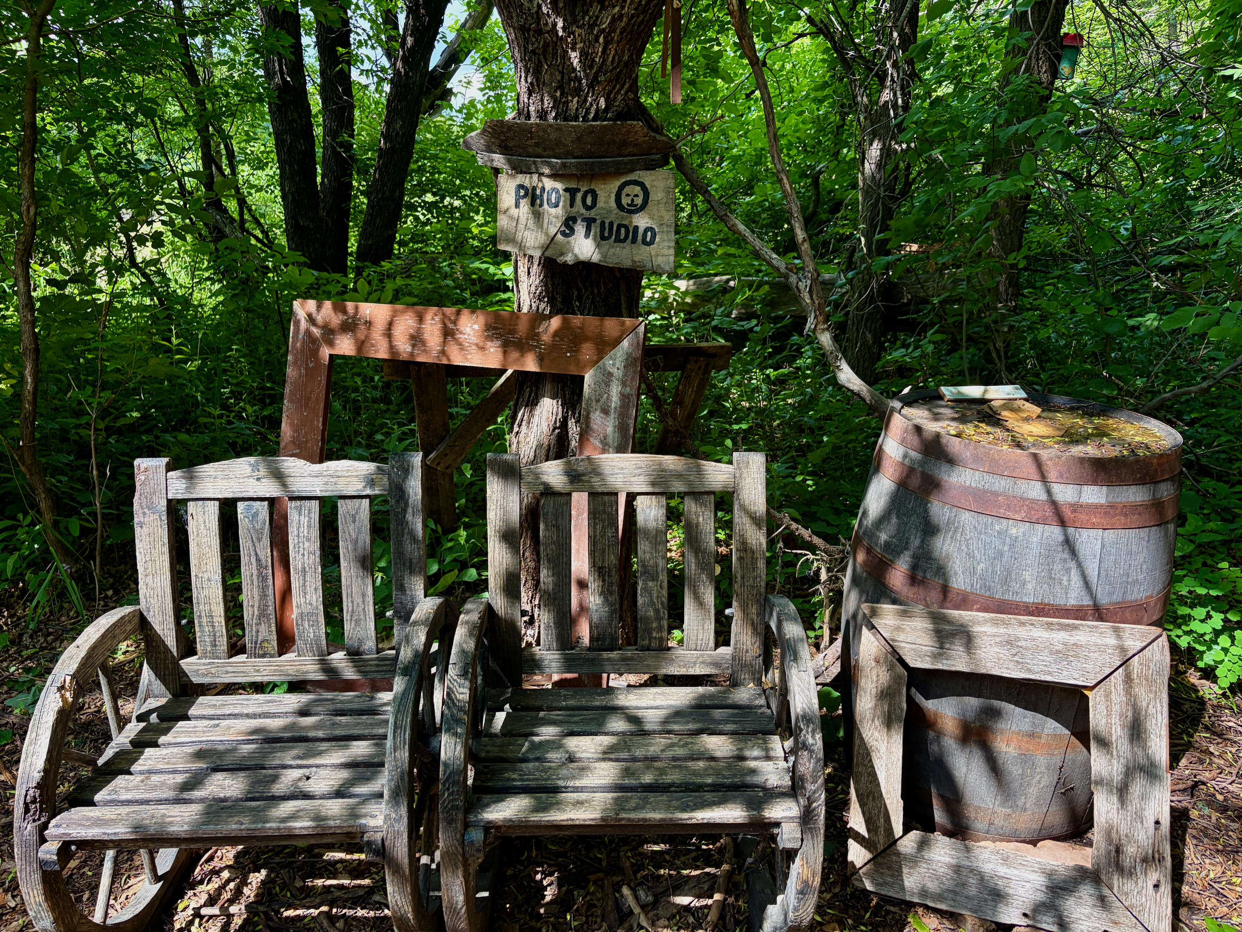
- “Portrait Studio” — a specially set-up corner for photos
- “Flintstone Park” — a playground with a Flintstone car (the original, by the way, was carried away by a flood — a new one was rebuilt)
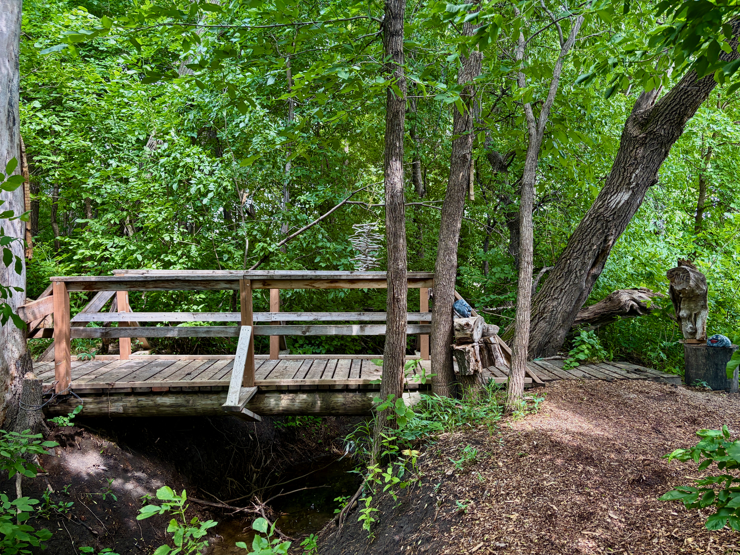
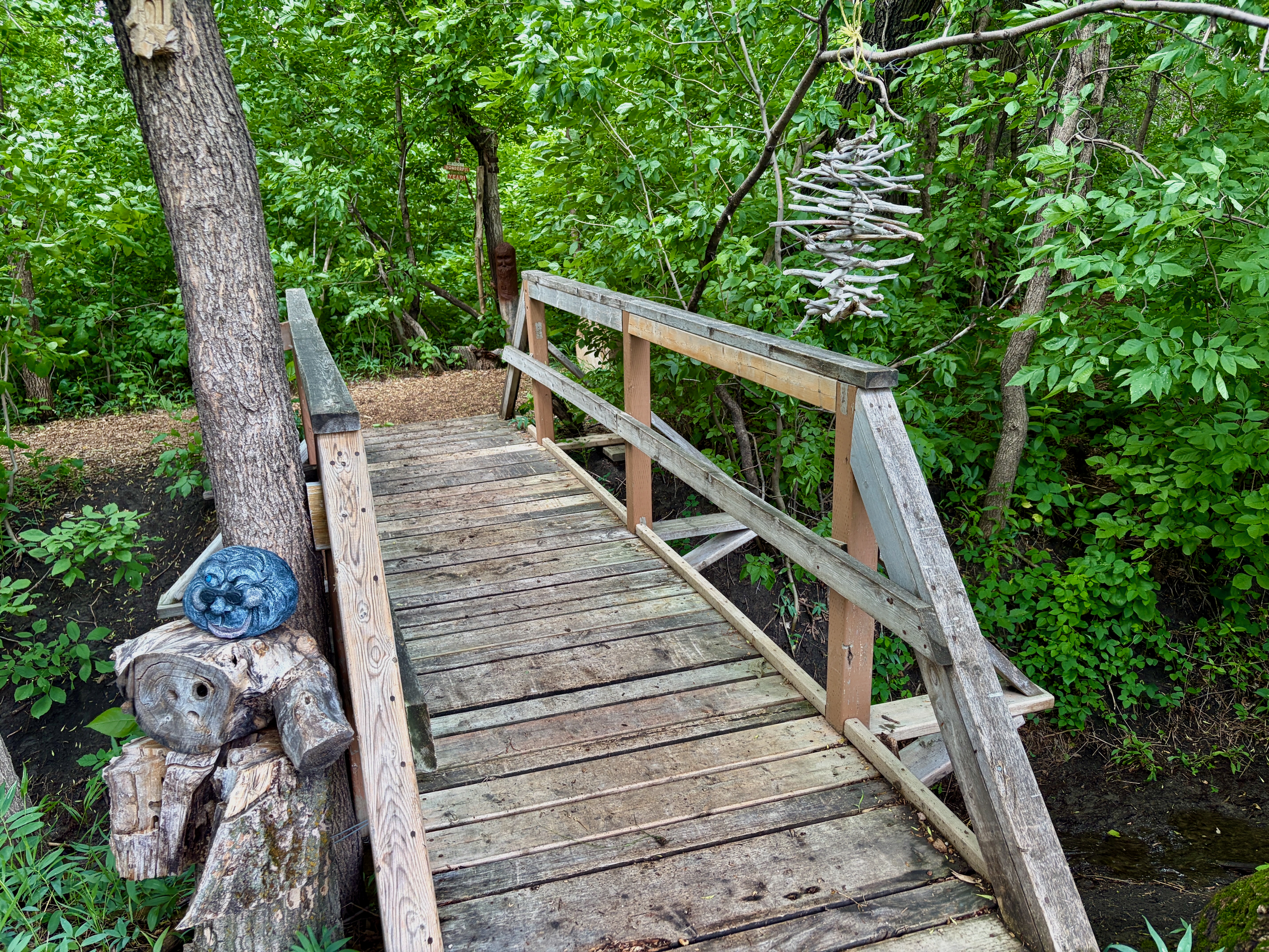
- “Troll Bridge” — a fairy-tale style footbridge
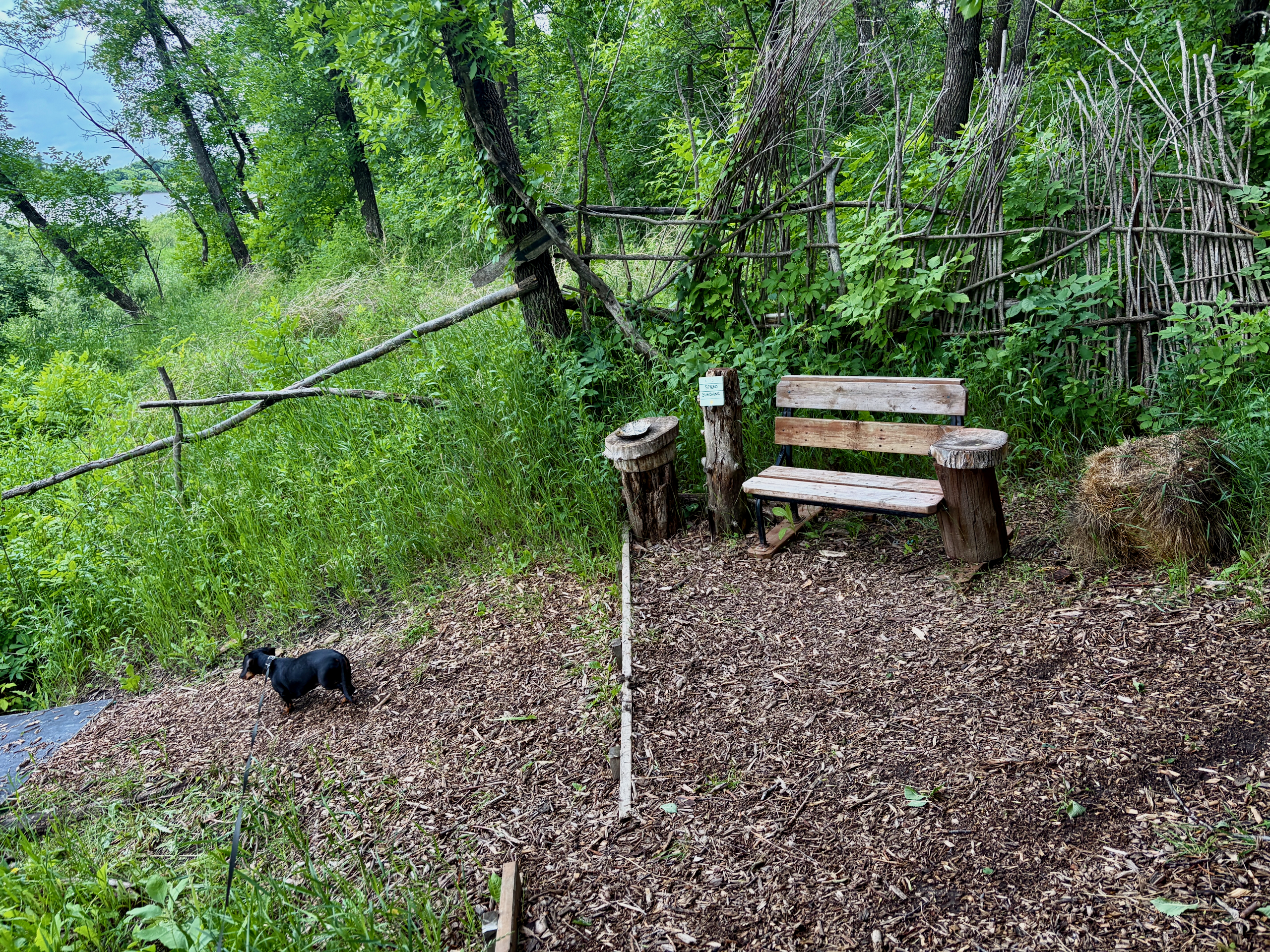
- Benches and tables made from riverside driftwood and stumps
- Two campfire areas with metal fire pits and benches: one closer to the parking lot, by the swings, and one at the very end of the trail. Volunteers leave firewood, but it can be wet or run out
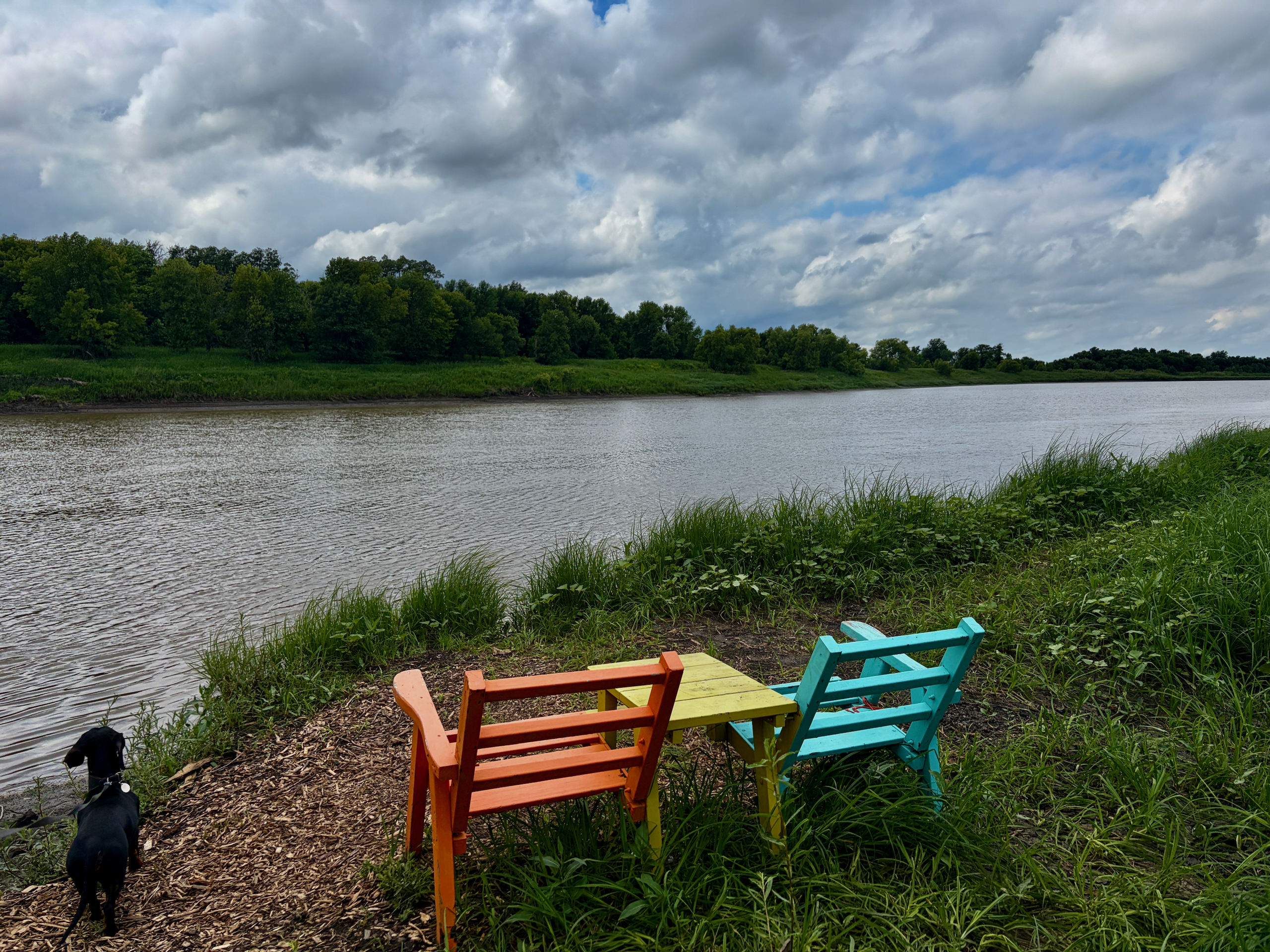
- Two antique chairs at a lookout point — donated by locals
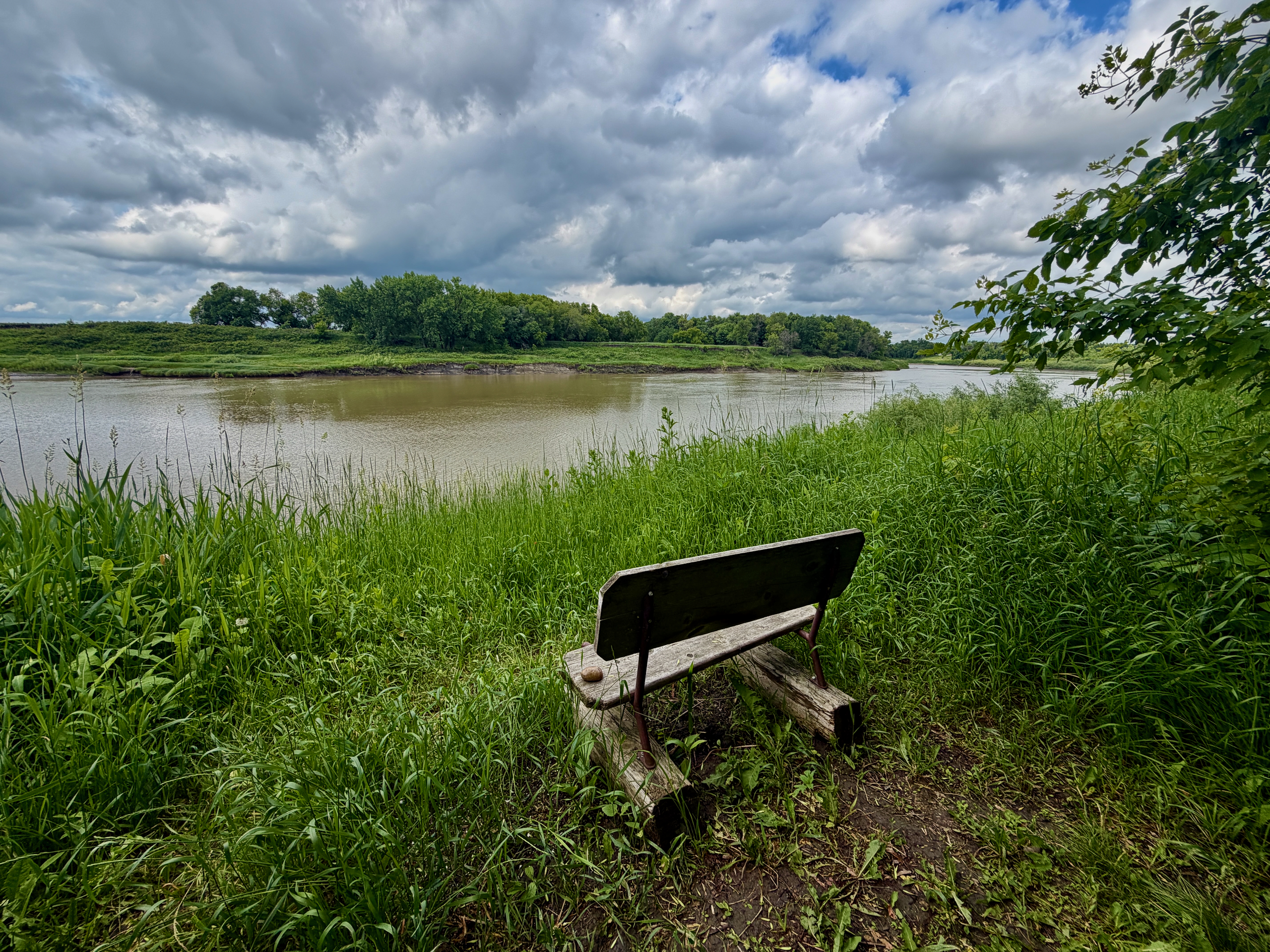
- Lookout points on the Red River with benches
All of this was built by volunteer hands and is sustained through donations and volunteer hours.
How Do You Get There?
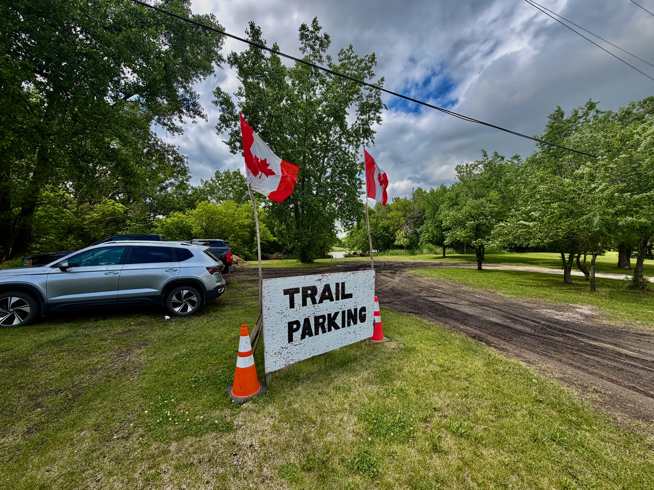
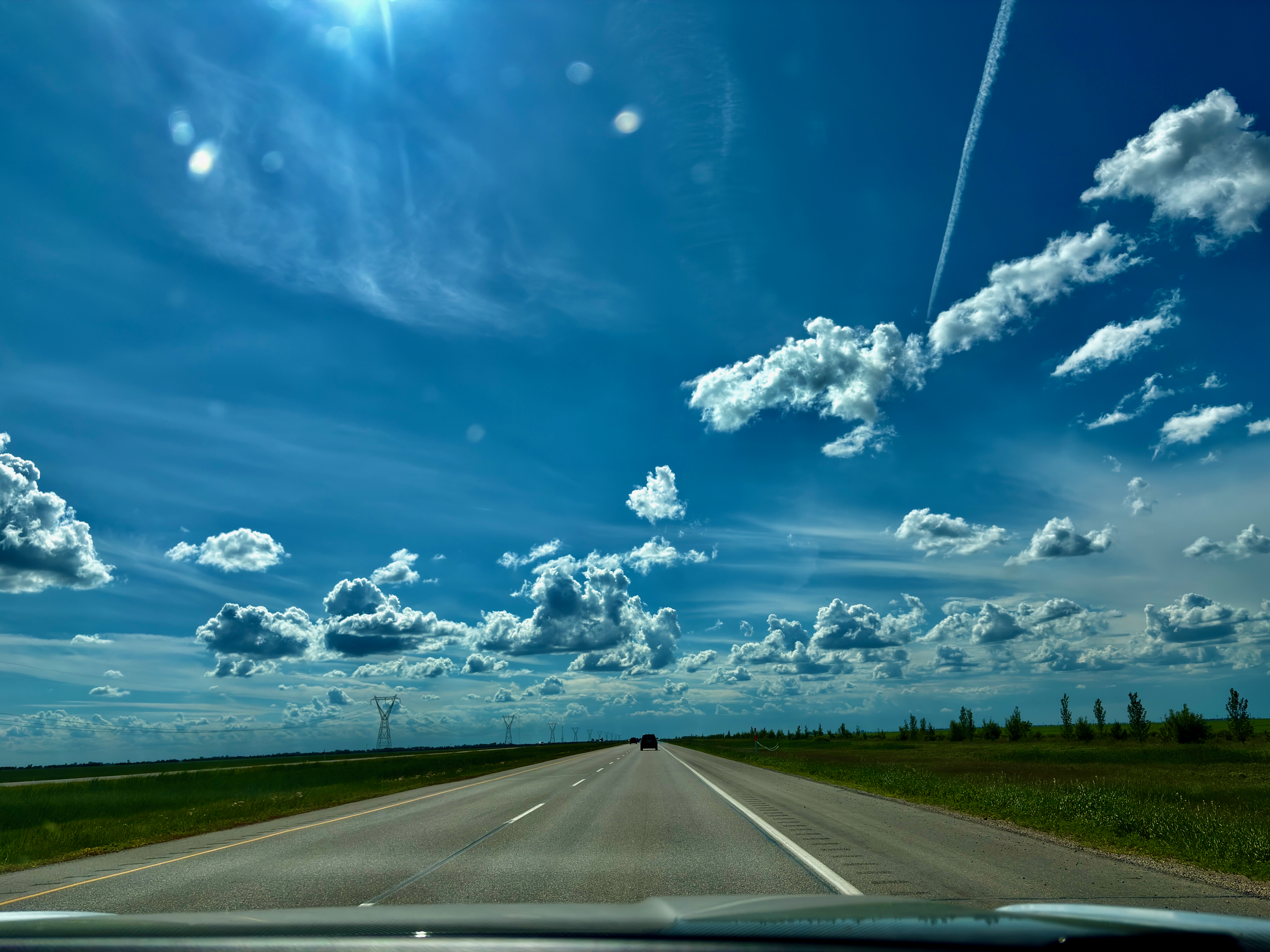
Highway 75 south from Winnipeg, turn onto MB-200, across the bridge and another kilometre. Parking is at the end of St. Paul Road / at the address 1530 MB-200, Ritchot.
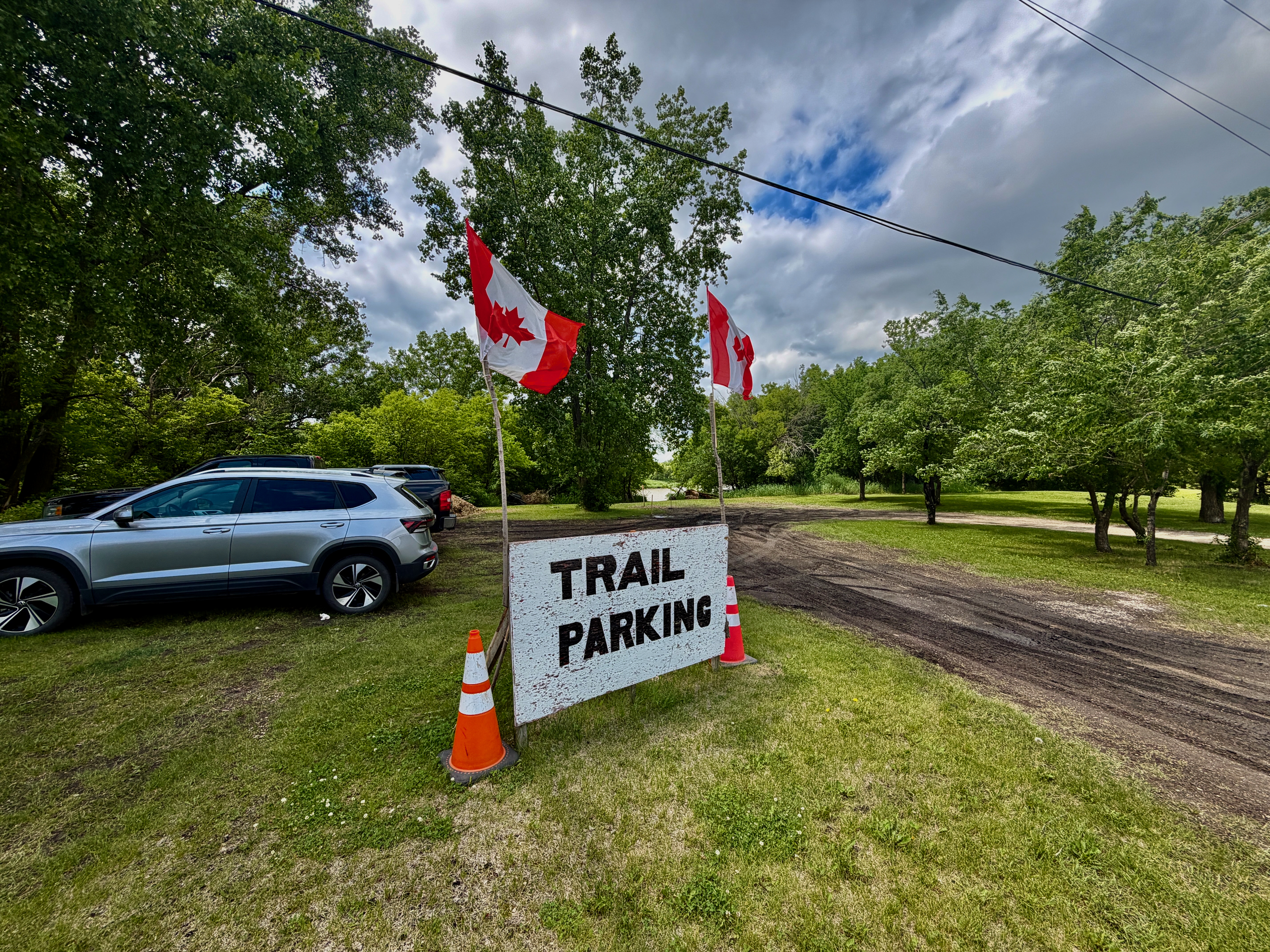
Important detail: on most maps, the trail shows up right at the bridge exit over the Red River. That is misleading. The actual parking lot is about a kilometre further down, at 1530 MB-200. That is where the trail begins with signage.
The address 694 Main St, Saint Adolphe (often cited as the official one) can be used for GPS, but you should park on St. Paul Road / 1530 MB-200.
The only toilet is a portable toilet in the parking lot. There’s none on the trail itself.
What Can You See and Do There?
Walk 2.7 km, photograph the carvings, sit by a campfire, feed birds, take in the lookouts.
- Walk the 2.7 km along the river and back — the main activity. The path is mostly flat and easy, ~30 minutes of pure walking. With stops — an hour to an hour and a half
- Look at the wooden artwork — every piece is hand-made, each with its own character
- Listen and watch for birds — especially in fall during migration. Chickadees and blue jays are active residents of the trail
- Sit by a campfire — there’s usually firewood, but it’s better to bring your own. Pack a lighter, newspaper and water to put the fire out completely afterwards
- Visit “Flintstone Park” with kids — they can climb around
- Reach the lookout points on the Red River — benches and two antique chairs there
- Take a photo in the “Portrait Studio” — a shot to mark you were here
This is not a place for active sports — for running, look elsewhere. This is a place for a slow walk with stops.
When to Go?
Best — late spring, summer, fall and winter. Avoid — spring flood season.
- Summer (June–August). Shade, green, active nature. Bring bug spray
- Fall. Anna and her friends were here on October 17, 2026 — warm, sunny, not many people. The trees were almost bare, leaves underfoot, and the river showing through the branches. It gets dark around 6:30–7 p.m., so bring warm clothes: by the river it’s noticeably colder in the evening. In the weeks before Halloween, the trail at dusk is especially atmospheric
- Winter. Active trail. Locals bring Christmas trees and decorate them, kids toboggan. Atmospheric for a winter walk
- Early spring (March–April) — no. The Red River floods every spring, and the trail regularly ends up underwater. Wait until the water recedes — usually late April / early May
- After heavy rain — give it a day or two to dry, otherwise you are walking through mud
Can You Have a Campfire on the Trail?
Yes, at two built campfire spots with metal fire pits. But check current restrictions and put the fire out completely.
In Manitoba, open fires are prohibited from April 1 to November 15, except with a burning permit or in enclosed, approved fire pits — like these metal ones. In dry weather, the province or the RM of Ritchot can add extra bans, so check the Manitoba Wildfire Service fire restrictions before you go.
The first campfire spot is closer to the parking lot, by the swings, and it’s popular with families. The second is at the very end of the trail and quieter. The volunteers leave firewood by the pits, but after rain it can be wet, and on weekends it can run out. It’s more reliable to bring your own.
How Anna and her friends put their fire out in October:
- Near the end, they stopped adding wood and let the fire burn down.
- They soaked all the coals with water they’d brought along.
- They raked the dry leaves away from the fire pit down to bare ground.
In the fall, there are lots of dry leaves around the fire pits. That evening, they saw coals still glowing where another family had been before them. Nobody does this on purpose, but please: drown your fire completely before you leave.
Who Maintains It and How Can You Help?
A small committee of senior volunteers. You can help with a donation or volunteer hours.
This is a fully community project. There are no paid staff, no municipal budget, no government grants. Benches, repairs to carvings, firewood for the fire pits, cleanup after floods — all of it runs on volunteer enthusiasm and donations from visitors.
If you enjoyed it, ways to give back:
- Leave a donation (information on-site and via Bonjour Manitoba)
- Offer your own woodwork or a birdhouse for the trail
- Show up at community workdays — they organize them after floods
- Leave no garbage behind, and put your campfire out completely
- Just tell friends about this place — that is also a form of support
Quick Reference
| What | Details |
|---|---|
| Address | 694 Main St (administrative), parking — 1530 MB-200 |
| Distance from Winnipeg | ~30 km on Highway 75 and MB-200 |
| Drive time | ~30 minutes |
| Trail length | 2.7 km out-and-back |
| Walking time | ~30 min pure walking, 1–2 hours with stops |
| Difficulty | easy, but not wheelchair-accessible: uneven ground, narrow sections |
| Entry | free |
| Built | 2020, by volunteers during the pandemic |
| Features | 45 birdhouses, carvings, two campfire spots, swings |
| Campfires | in the metal fire pits only; check RM of Ritchot restrictions |
| Toilet | portable toilet in the parking lot only |
| Season | year-round (avoid March–April) |
| Dog-friendly | yes, on leash |
| Nearby | A Maze in Corn (Guinness record holder) |
Why It’s Worth It
The St. Adolphe Friendship Trail is a small story about what communities can do on their own, without budgets or permits. A handful of seniors, the wish to tidy up a stretch of riverbank, and a few years of steady work — and now you have a place that shows up on lists of “Manitoba’s best trails.”
This is not the grandeur of Banff. This is not remote wilderness. This is a short stretch of Red River bank half an hour from Winnipeg, which local residents have turned into something worth seeing. Sometimes those are the most valuable places.
Our summer day here — after overnight rain, with our dachshund Nika — is in our summer day trip to the Friendship Trail. The fall one, with a Steinbach bakery and a campfire until dark, is in our fall day in Steinbach and on the Friendship Trail. And if you like short trips without much planning, we have a post about the forty-minute rule — St. Adolphe is exactly that case.
Last checked: October 2026. First visit — summer 2026, with Nika. Second visit — October 17, 2026: the fall notes, the two campfire spots, the portable toilet in the parking lot and meeting the volunteers are from that visit.
Sources checked: CPAWS Manitoba (trail length, accessibility), Manitoba Wildfire Service (fire rules). Rules can change — check before you go.