
About an hour and a half east of Winnipeg, on the way to the Ontario border. Lakes, cabins, waterfalls and quiet — the kind of place you stop at for fifteen minutes and immediately start planning to come back to.
We will be honest up front: this was a quick stop, at the end of a long day, in the rain. So this is a first look rather than the full guide — but it is an honest one, and we are already planning the day that fills in the rest. If you want the whole trip it was part of, see our Kenora and Rushing River day trip.
How We Ended Up There
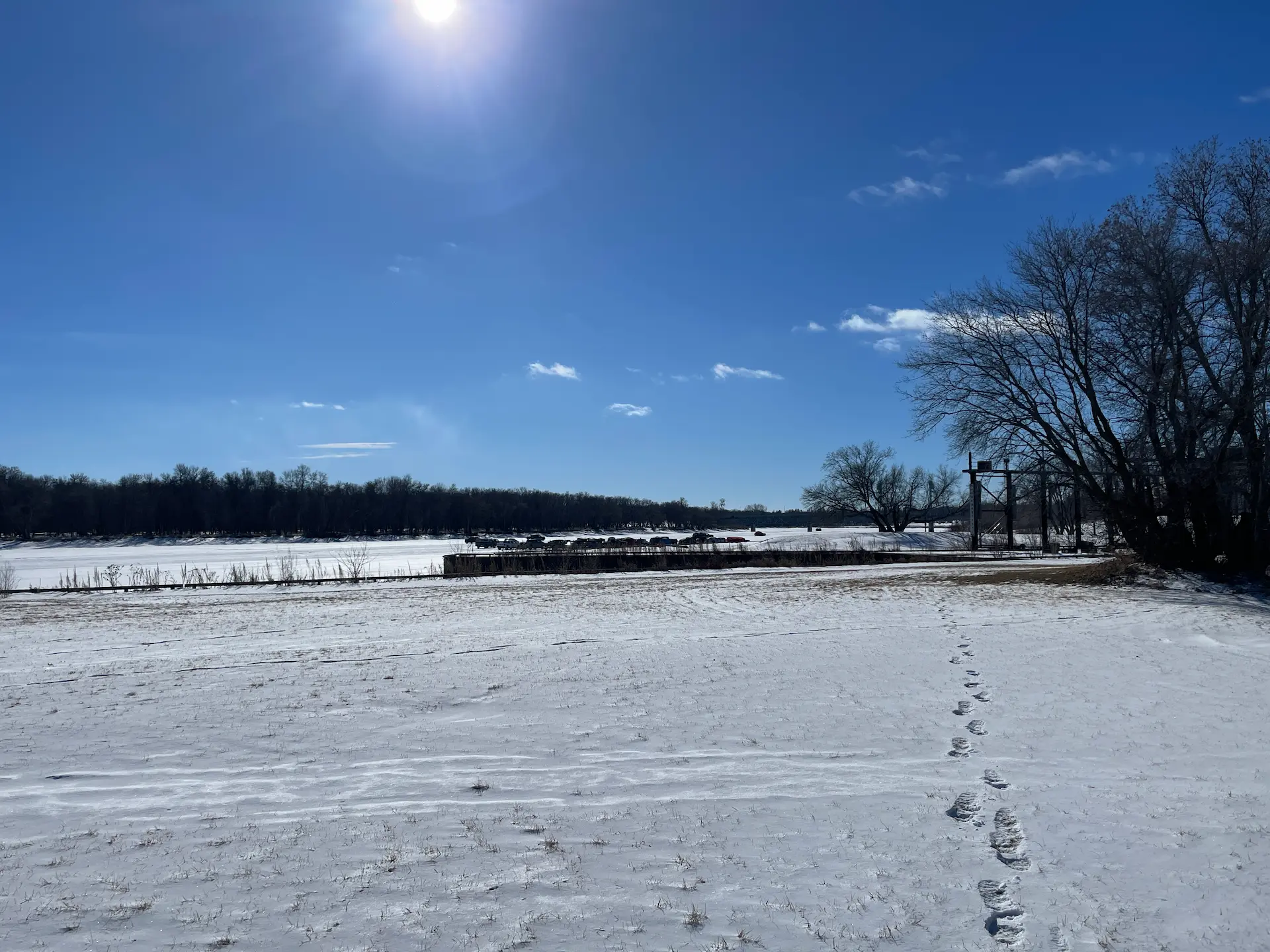
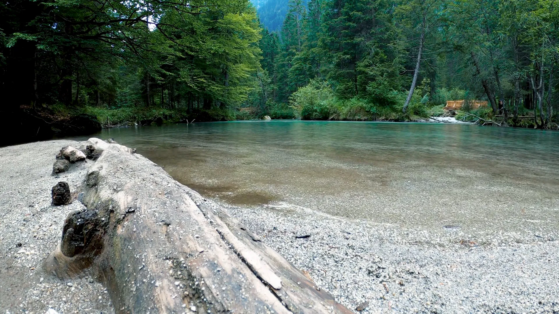
Whiteshell was the last stop on our way home from Kenora. By the time we reached it, the rain was starting and the light was fading, so we did not get to walk it the way it deserves. But even in fifteen minutes, it was beautiful — and that is really saying something at the end of a full day, in poor weather, when you are tired and ready to be home.
What We Saw in Fifteen Minutes
Cabins along the shore — a lot of them, and many that look like they are available to rent. Anglers out fishing. Small waterfalls you can walk right up to, good spots for a photo. And quiet. Real quiet — even quieter than Rushing River, which we had just come from. In short: fishing, water, waterfalls, lovely nature, and stillness.
It was enough to know we had only scratched the surface, and enough to know we are coming back.

What Whiteshell Is Known For
Here is what makes us want to give it a full day, gathered from the park’s own records and a little reading — the things we did not get to this time but fully intend to see.
Whiteshell is one of Manitoba’s largest provincial parks — about 2,729 square kilometres of protected wilderness, established in 1961 as one of the first parks created after the province passed its Provincial Parks Act. It sits squarely on the Canadian Shield: ancient Precambrian rock, billions of years old, scraped and polished by glaciers into pink granite ridges and an astonishing number of lakes — more than 200 of them, strung together by three river systems (the Winnipeg, the Whiteshell, and the Rennie).
A few things we have circled for next time:
- West Hawk Lake — the deepest lake in Manitoba at about 115 metres, and not by accident: it sits in a meteorite impact crater roughly 351 million years old. There is something wonderful about swimming in a crater.
- Petroforms — sacred rock formations arranged by First Nations peoples, possibly over a thousand years ago, laid out on the pink granite. The Whiteshell holds places of deep spiritual significance to the Anishinaabe, and the park is still used today for ceremonies and for harvesting wild rice. These are places to approach slowly and respectfully; an Indigenous-led tour is the right way to learn their meaning.
- The Whiteshell River Suspension Bridge — a swaying footbridge over rushing water that is high on our list.
- Cottage country meets backcountry — Falcon Lake and West Hawk Lake offer the comforts, while the park’s interior offers proper boreal wilderness. Black bears, moose, deer, beavers, and an abundance of Canada geese all live here.
Where It Is
Whiteshell sits in southeastern Manitoba, right along the Ontario border, roughly 105–120 kilometres east of Winnipeg on the Trans-Canada Highway — about an hour and a half from the city. That position is exactly why it works as a stop on the way to or from Kenora: the southern part of the park, around West Hawk and Falcon Lake, is right on the highway as you cross between the two provinces.
When to Go
Whiteshell is a four-season park. Summer is for the beaches, the lakes, paddling, and cottage life. Fall brings colour and quiet to the Shield. Winter opens up skiing, snowshoeing, and ice fishing. We saw it in summer, briefly and in the rain — so we cannot speak to the seasons from experience yet. When we go back for a full day, we will update this guide with the real thing.
What to Bring
- A park vehicle permit — required for Manitoba provincial parks.
- Sturdy shoes with grip — Canadian Shield bedrock is slippery when wet and uneven when dry.
- Bug spray — essential near the water in summer.
- A swimsuit — for the lakes, West Hawk included.
- Respect — especially around the petroforms and any culturally significant sites.
Who This Place Is For
- Anyone who thinks Manitoba is “just prairie” — the Shield will change your mind in about five minutes.
- Cottagers and campers — from lakefront comfort to boreal backcountry.
- Anglers and paddlers — 200+ lakes and three river systems.
- Anyone curious about the land’s deep history — petroforms, a meteorite crater, billion-year-old rock.
- People who want quiet — we found more of it here than almost anywhere nearby.
Quick Reference
| What | Details |
|---|---|
| Location | southeastern Manitoba, along the Ontario border |
| From Winnipeg | ~105–120 km east on the Trans-Canada Highway (~1.5 hours) |
| Established | 1961 |
| Size | ~2,729 km² — one of Manitoba’s largest provincial parks |
| Landscape | Canadian Shield — pink granite, 200+ lakes, boreal forest |
| Don’t miss | West Hawk Lake (deepest in MB, a meteorite crater), petroforms, the suspension bridge |
| Entry | Manitoba park vehicle permit |
| Best time | summer for the lakes; fall for colour and quiet |
Why We’re Going Back
Some places you fall for slowly, over a whole day. Whiteshell we fell for in fifteen minutes, in the rain, at dusk — which is probably the best argument there is for going back. It is close, it is huge, and it is the easiest place near Winnipeg to be reminded that Manitoba is not all flat fields. Next time we are giving it a real day, with Nika, and we will tell you everything we find.
Until then: if you liked the look of the Shield here, its rockier Ontario cousin 20 minutes past Kenora is our Rushing River Provincial Park guide, and the big, forested Manitoba park closer to the city is Birds Hill.