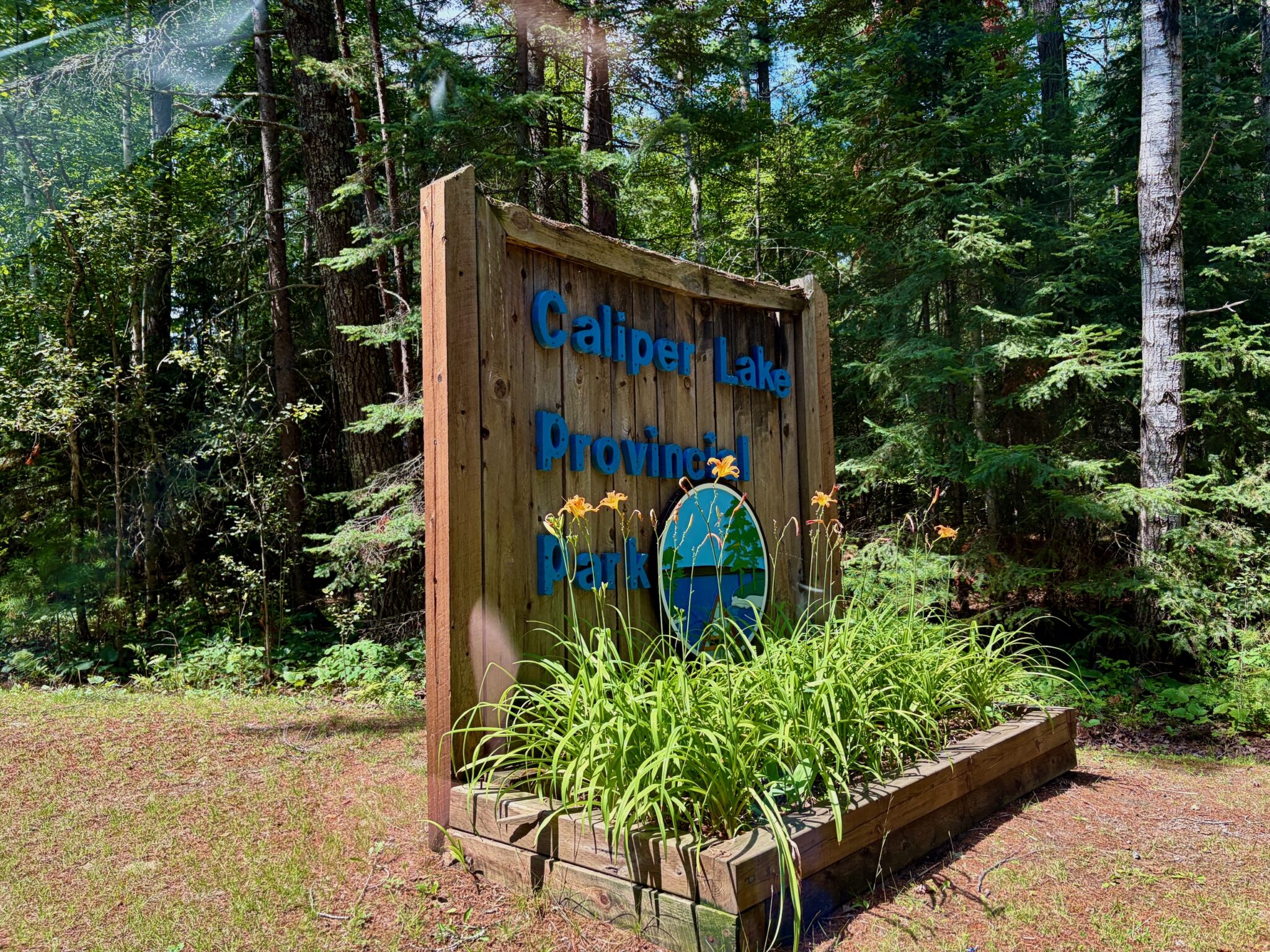
A sand beach, two campgrounds with the same name, an 86-metre suspension bridge built by hand over a fast river, and one trail you can’t walk right now.
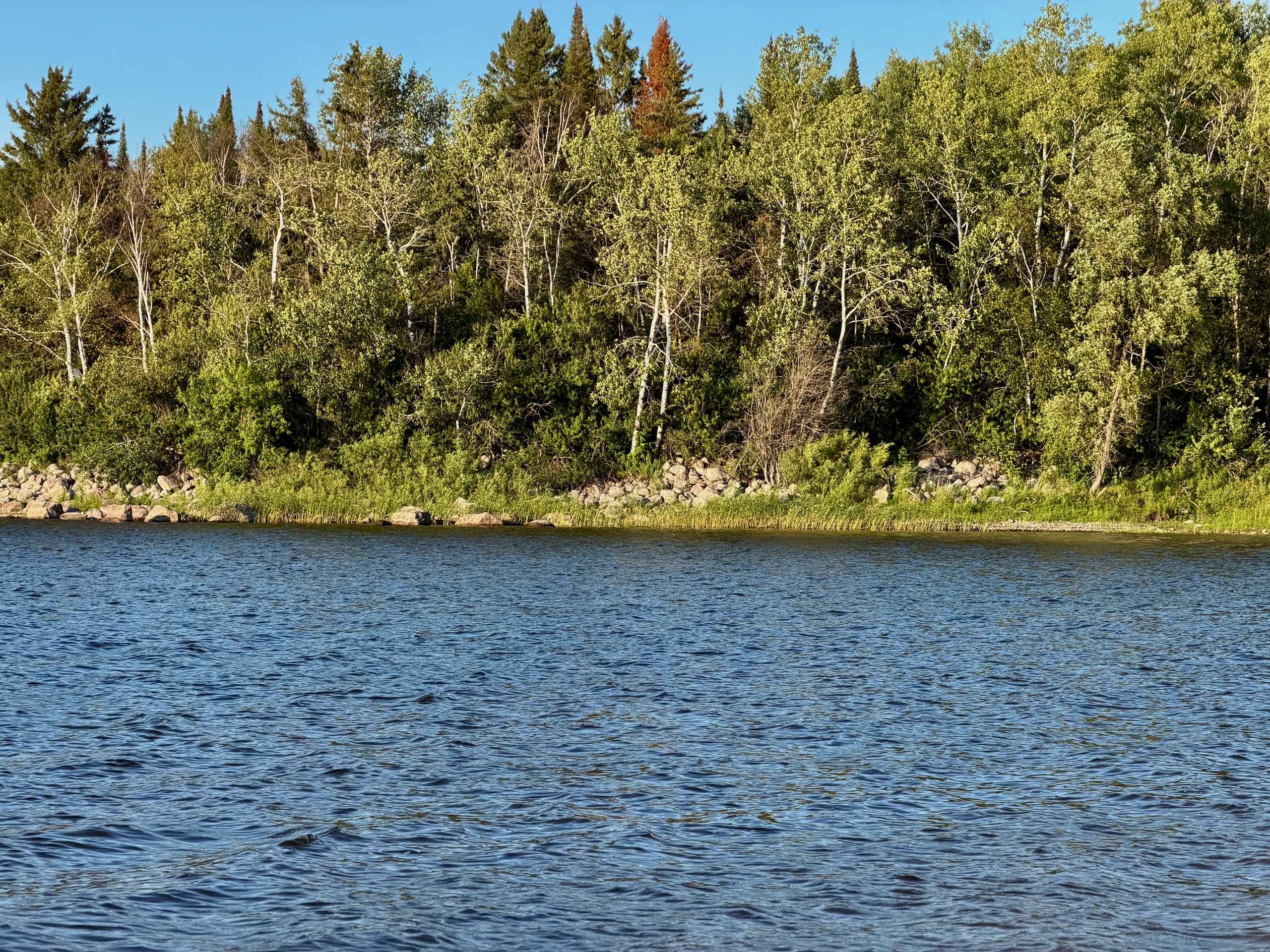
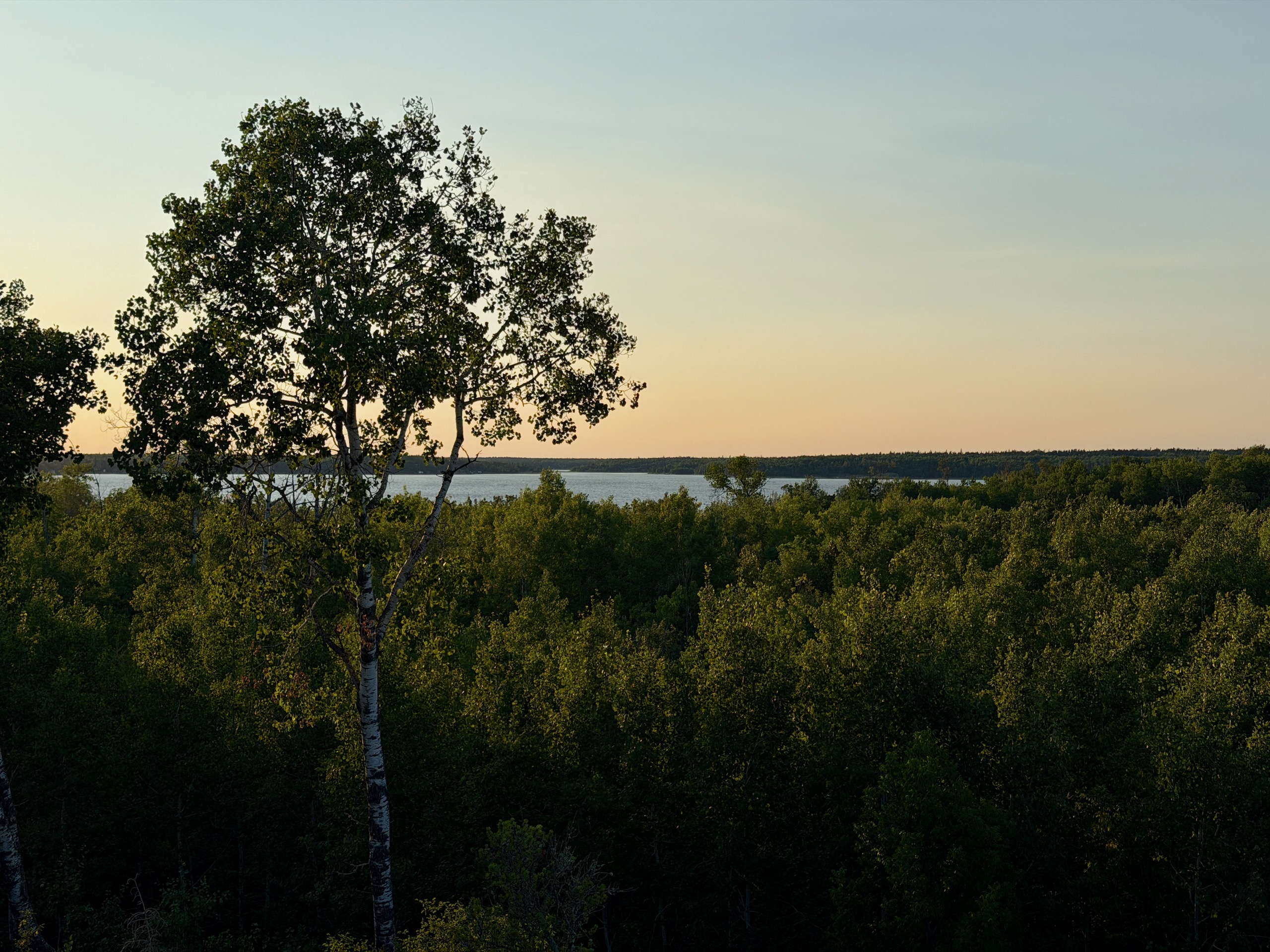
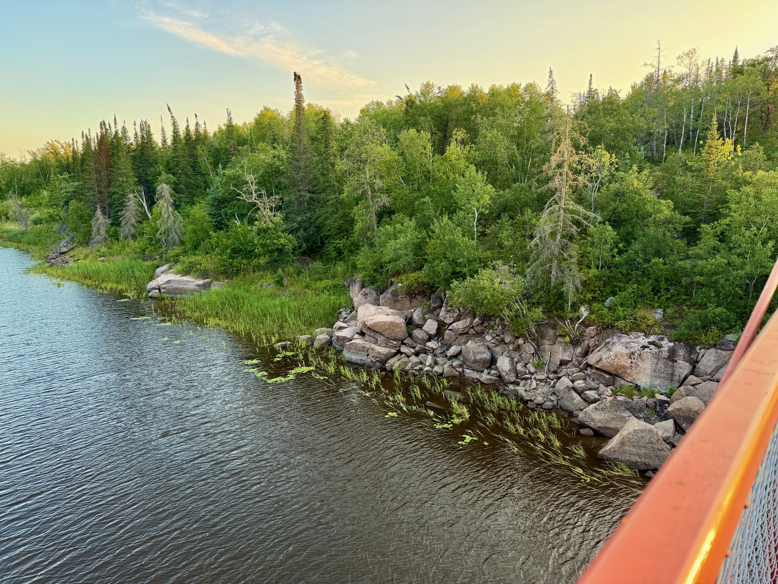
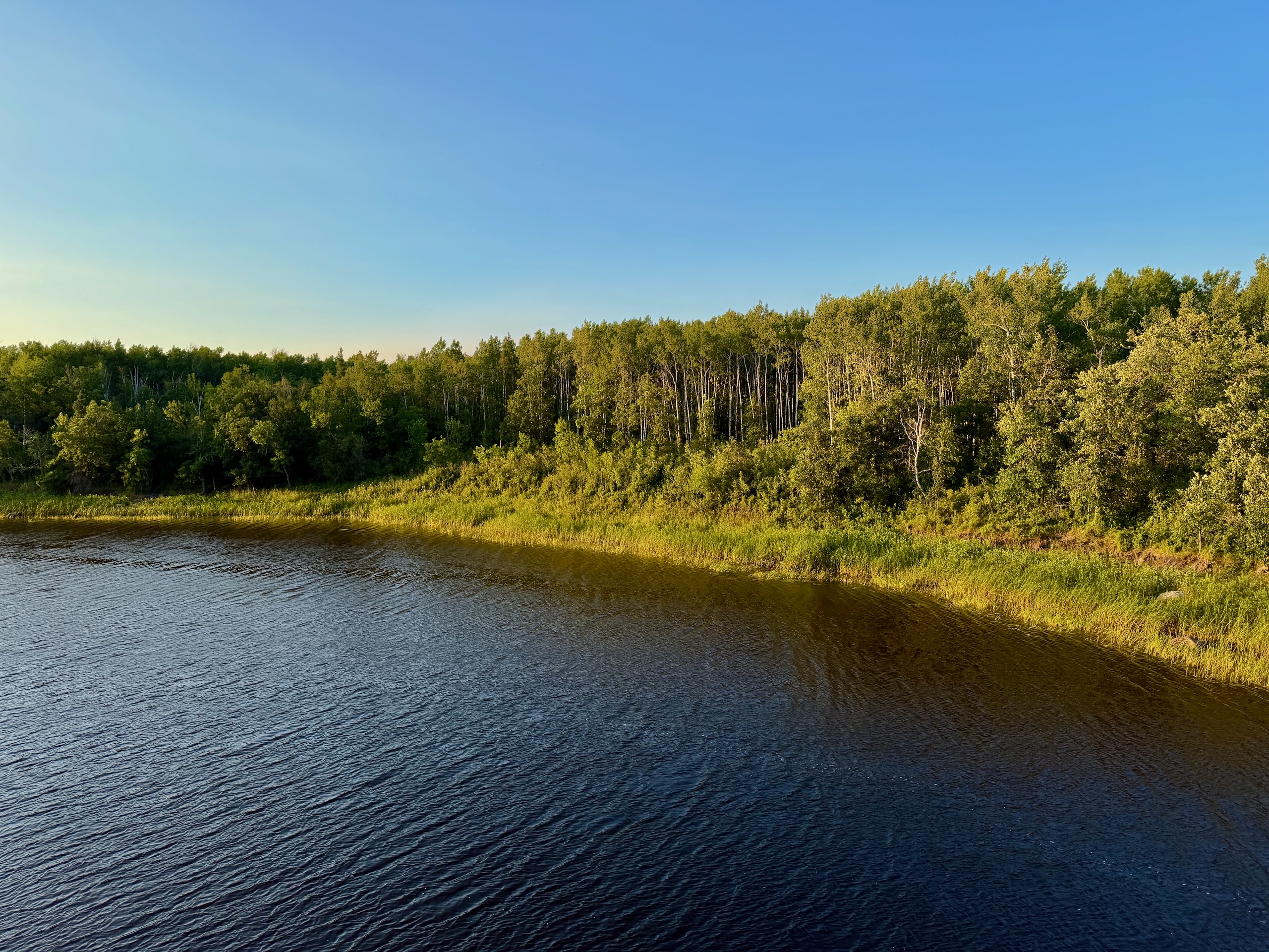
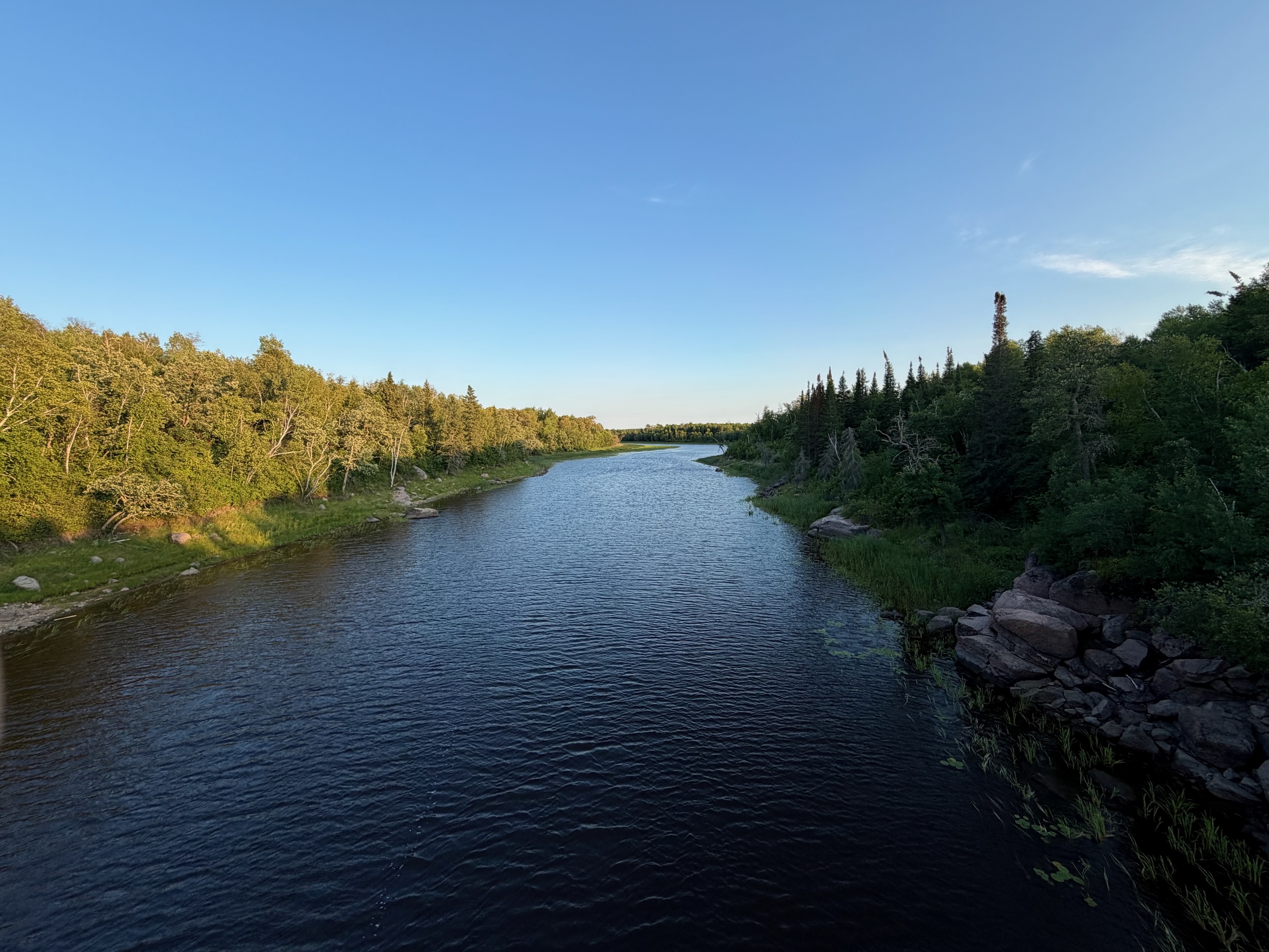
Nutimik Lake sits in the north end of Whiteshell Provincial Park, on the Winnipeg River system. The name is Cree and means, roughly, “up the river” — which is exactly where it is: the Whiteshell River comes down through the rock and empties into it.
We spent a July Friday evening here at a friend’s campsite. That’s not a full survey of the place, and we flag below what we saw ourselves and what we didn’t.
Where Nutimik Lake Is and How to Get There
Nutimik Lake is in eastern Manitoba, roughly two hours from Winnipeg. It’s paved the whole way, and the last stretch is the pretty part: farmland gives way to pink granite and black spruce. The exact route, distance and timing are in our drive to Nutimik Lake from Winnipeg.
Cell service and data are unreliable out here, both on the drive and at the lake itself. Download offline maps of the area before you leave the city.
The Beach and the Water
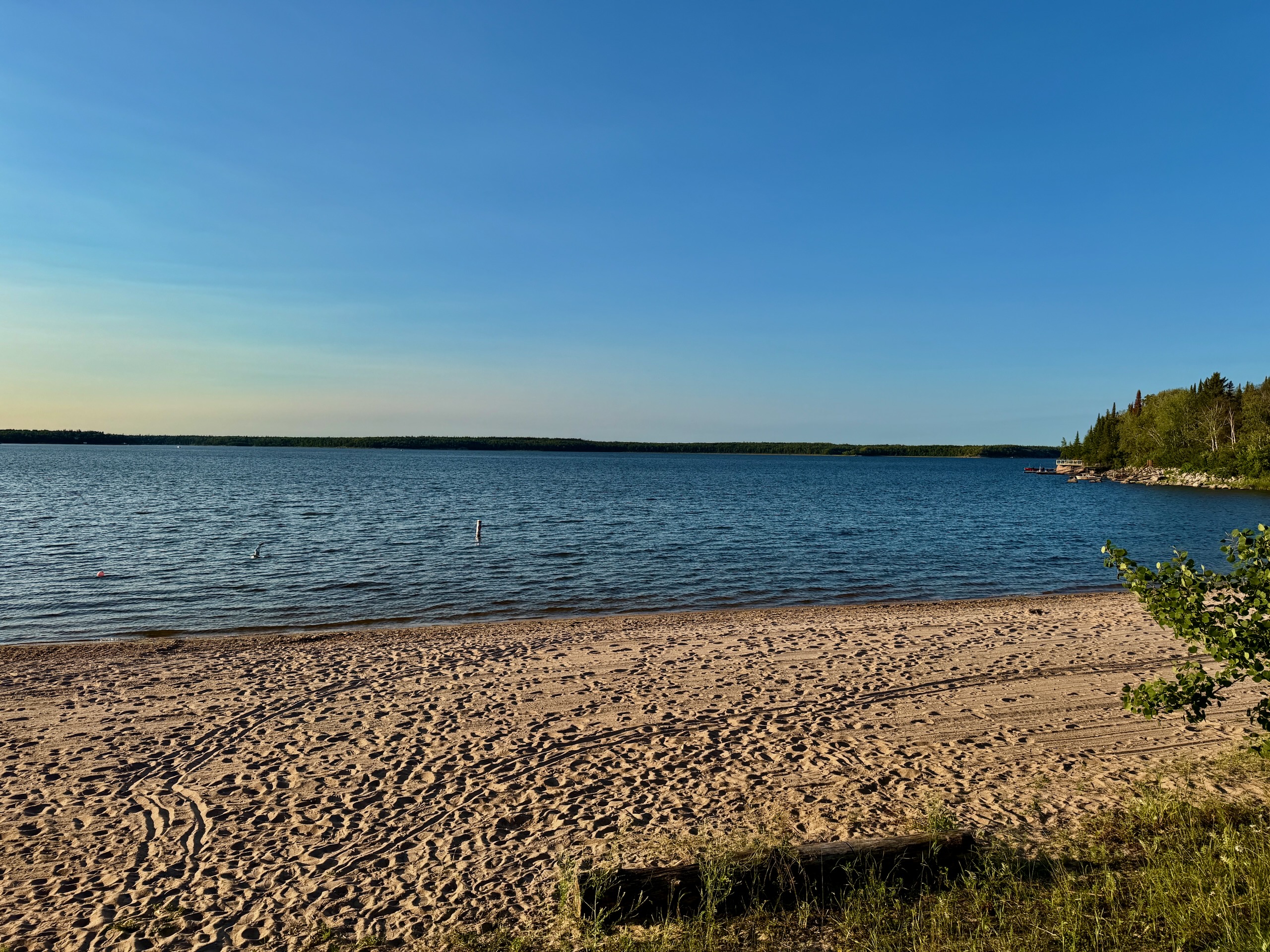
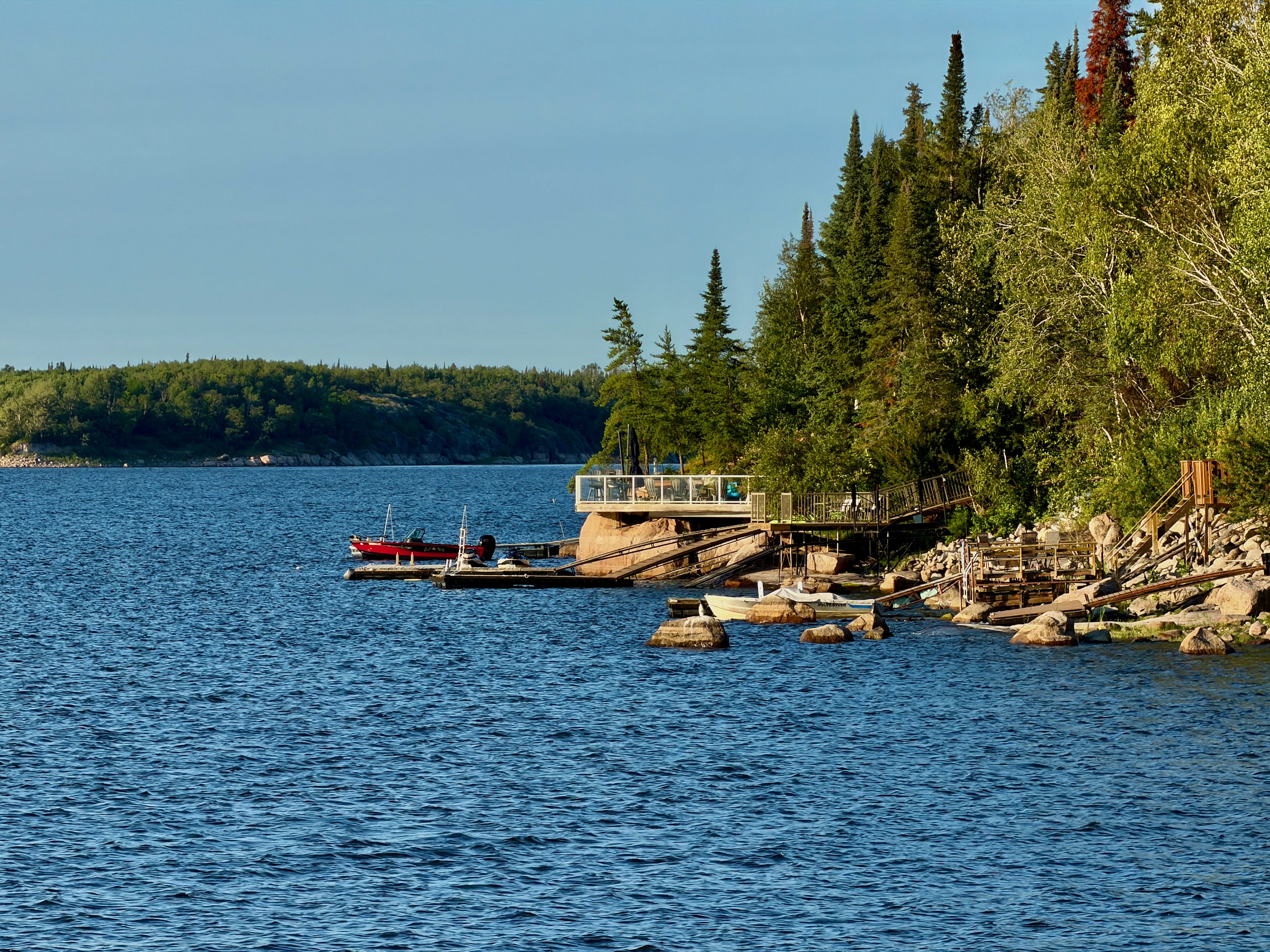
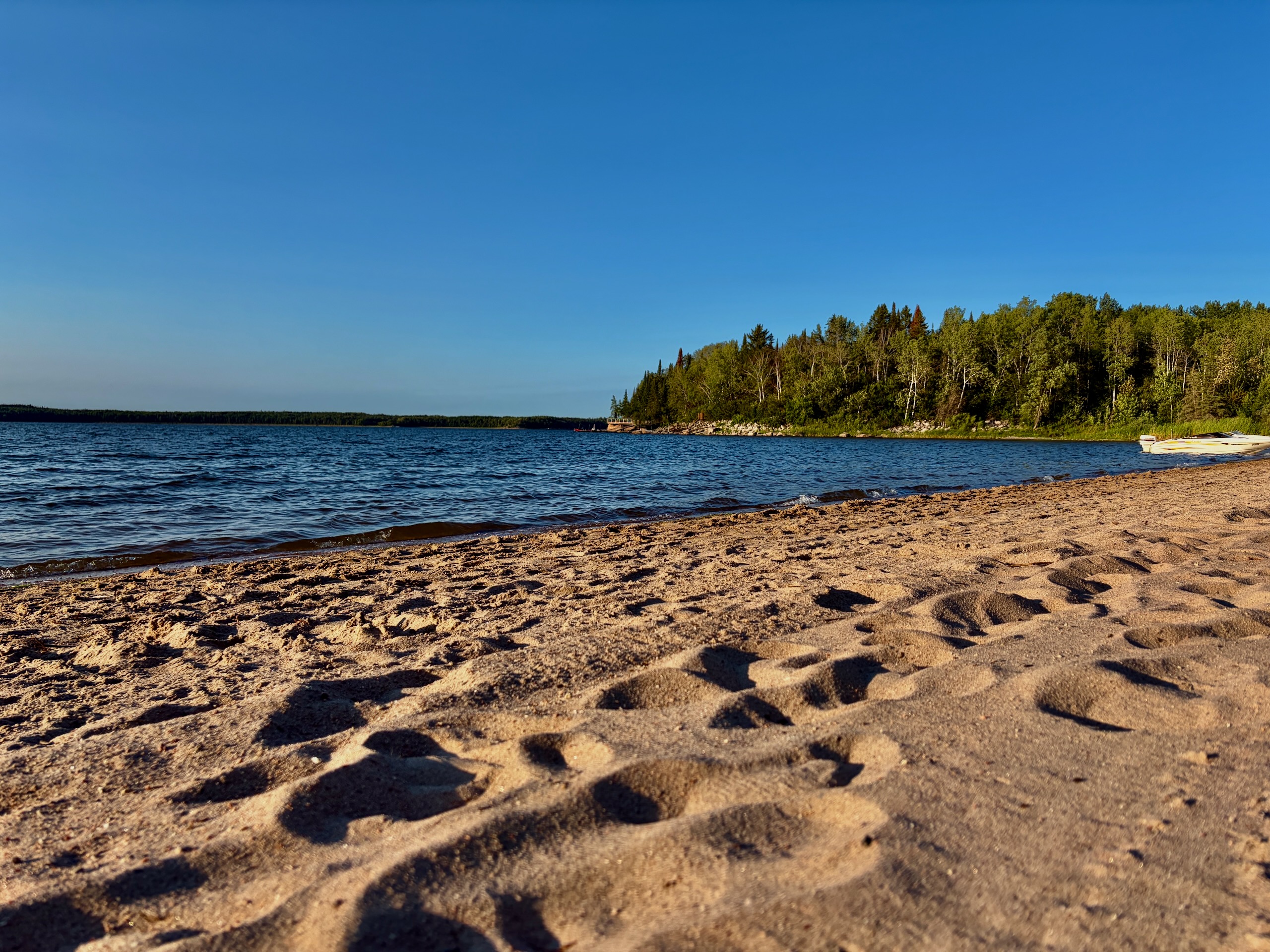
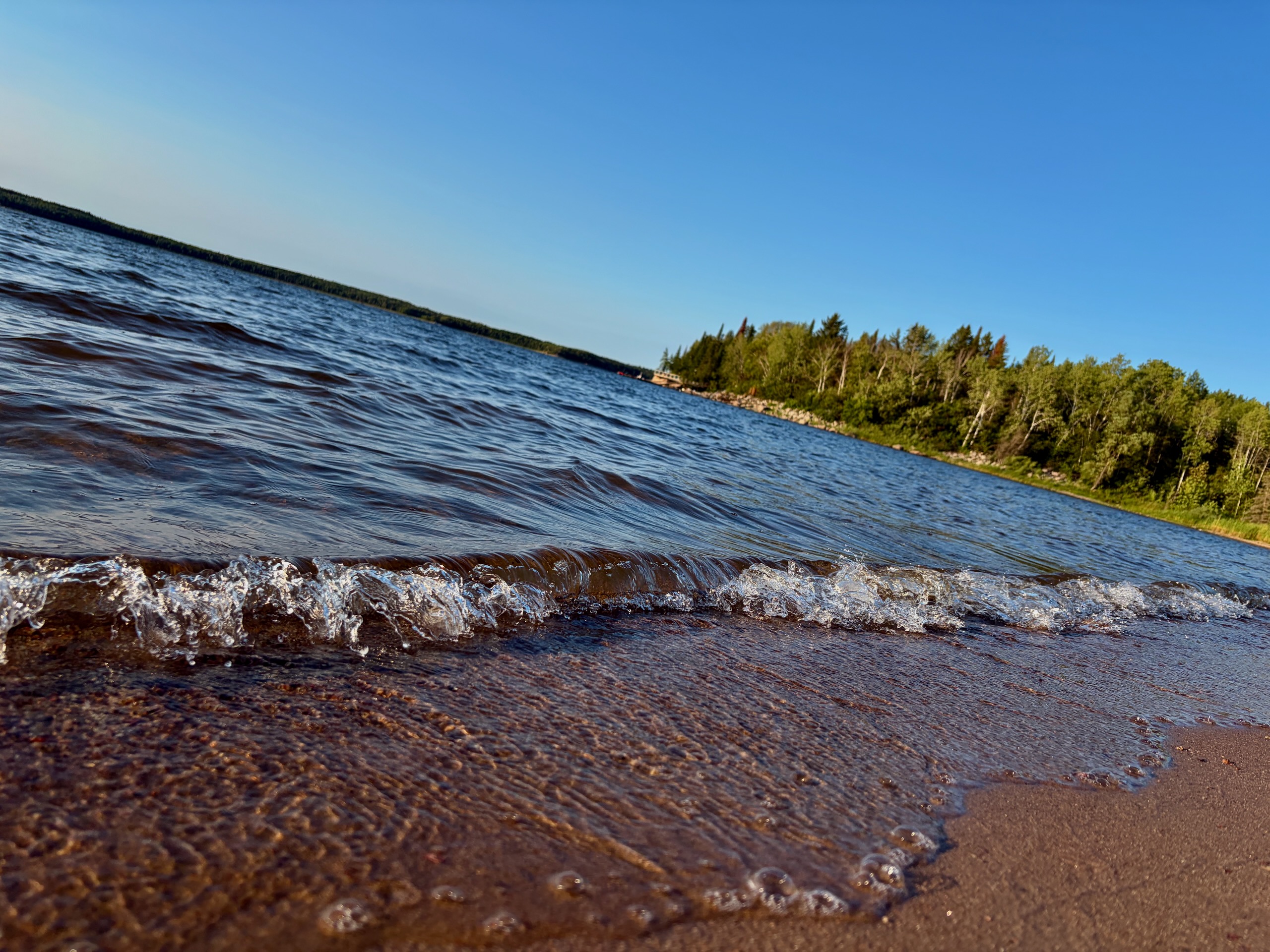
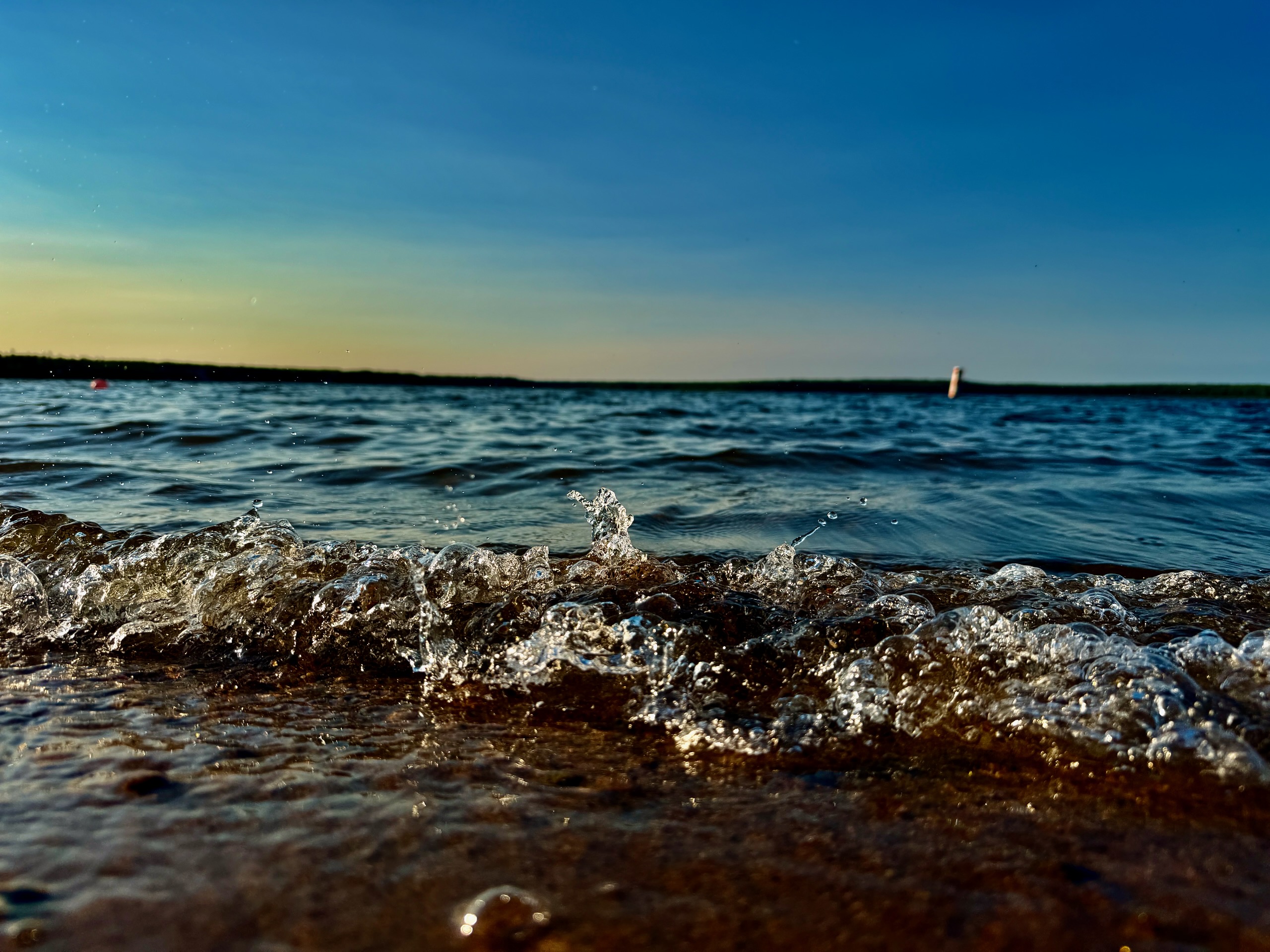
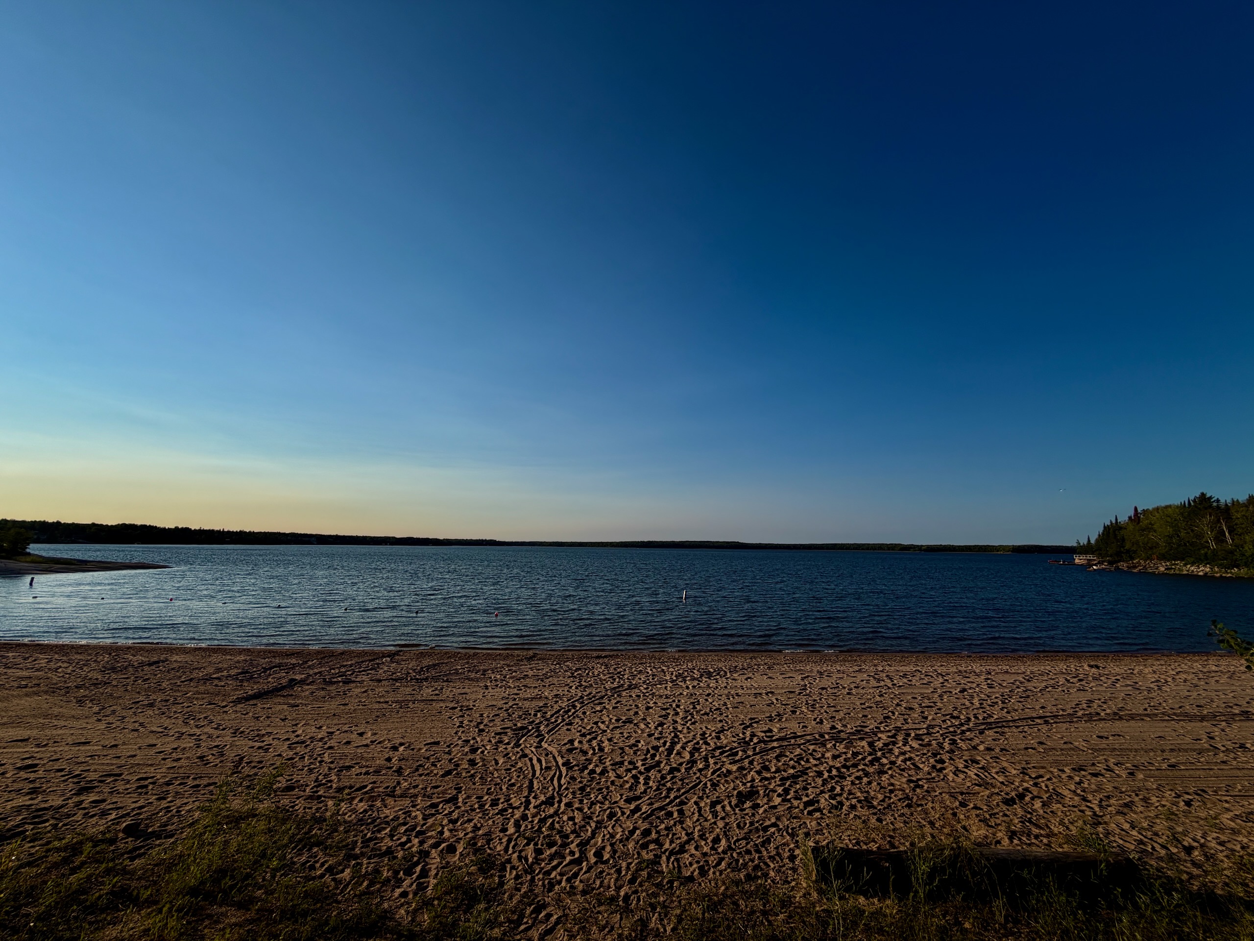
The beach is sand, and it’s clean. That’s not a given on Shield lakes, where “beach” often means a slab of rock and a good attitude.
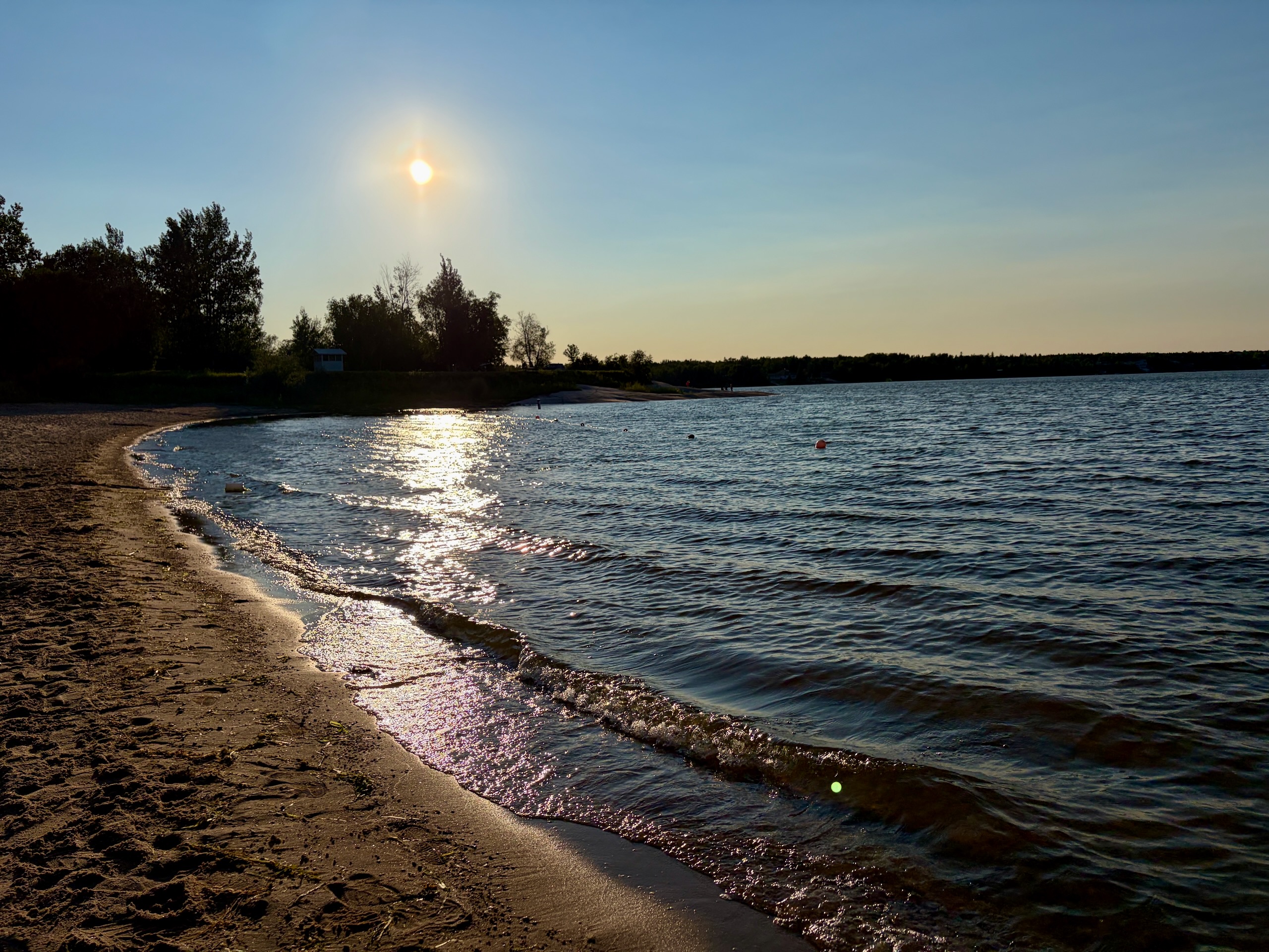
The water was cooler than the beaches closer to the city, which in a Manitoba heat wave is a feature and not a complaint. Visibility is moderate rather than clear — this is a river-system lake, so it carries some colour — and there’s weed in patches near the shore. Neither spoiled anything for us.
To set expectations honestly: if you’re chasing turquoise water, Reynolds Ponds is the Manitoba lake for that and this isn’t it. If you want to swim properly at the end of a hot day with sand under your feet, Nutimik does the job well.
Swimming is unsupervised, as at essentially every Manitoba provincial park beach.
Two Campgrounds, One Name
This trips people up, so it’s worth being precise.
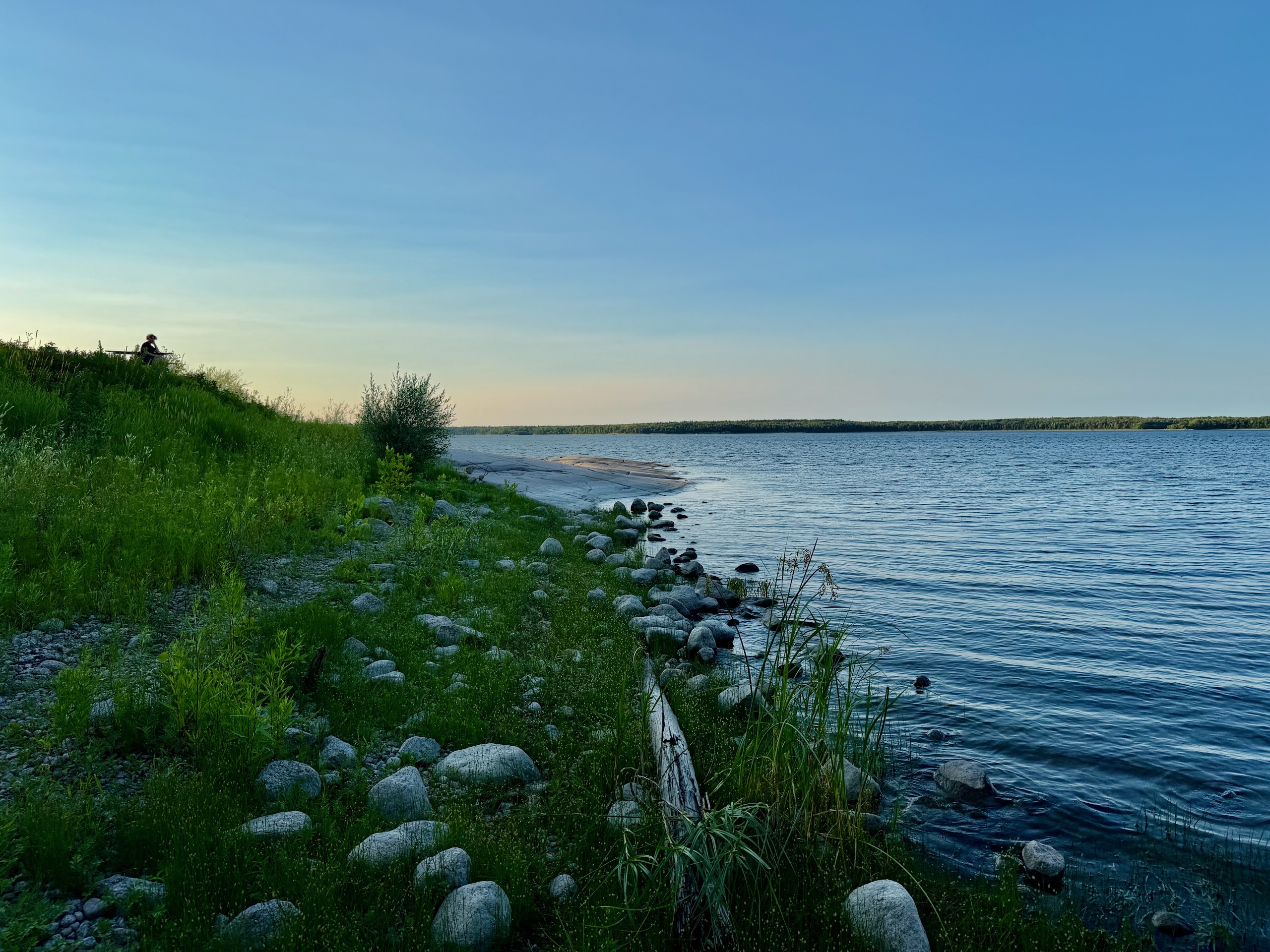
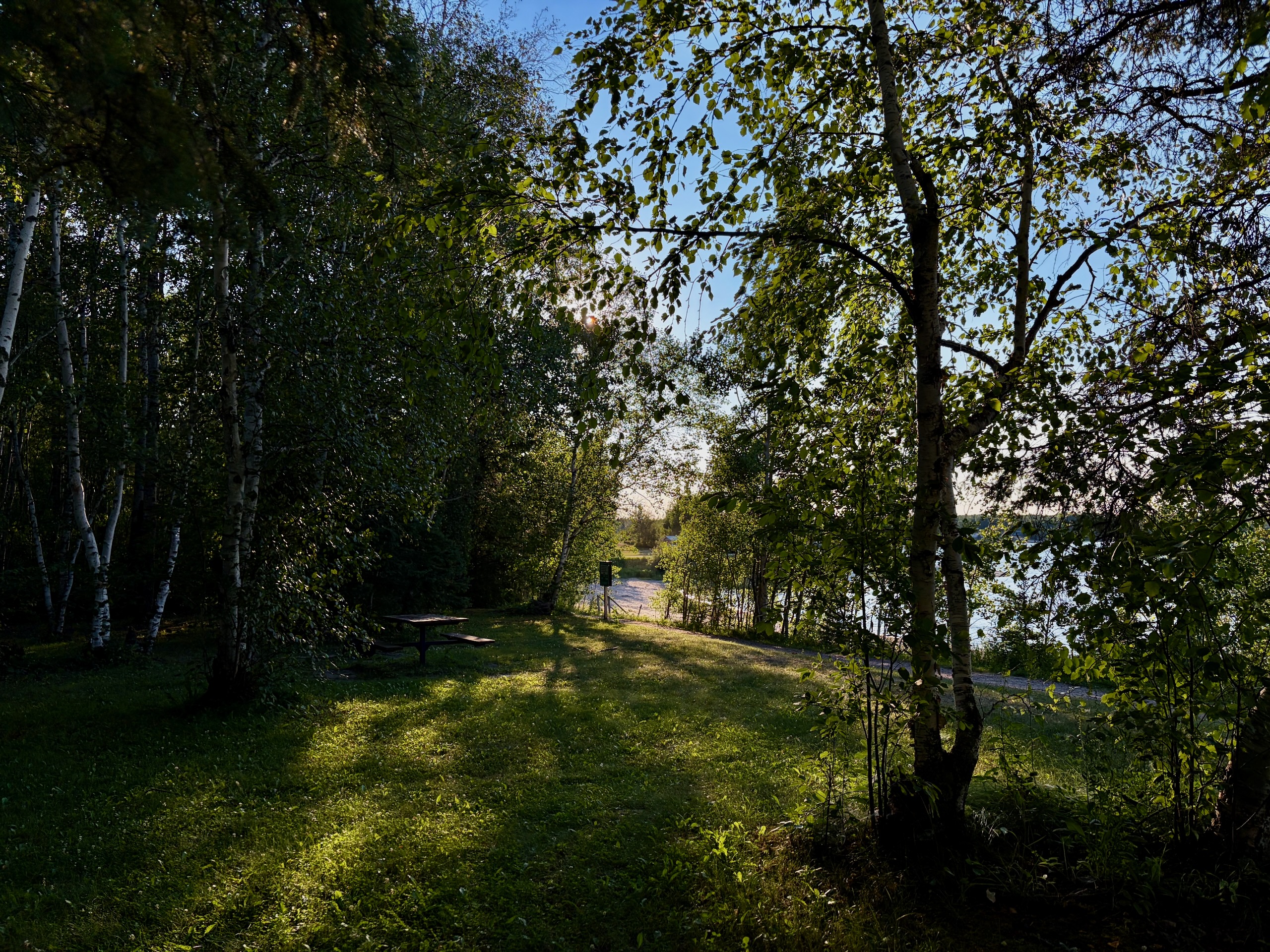
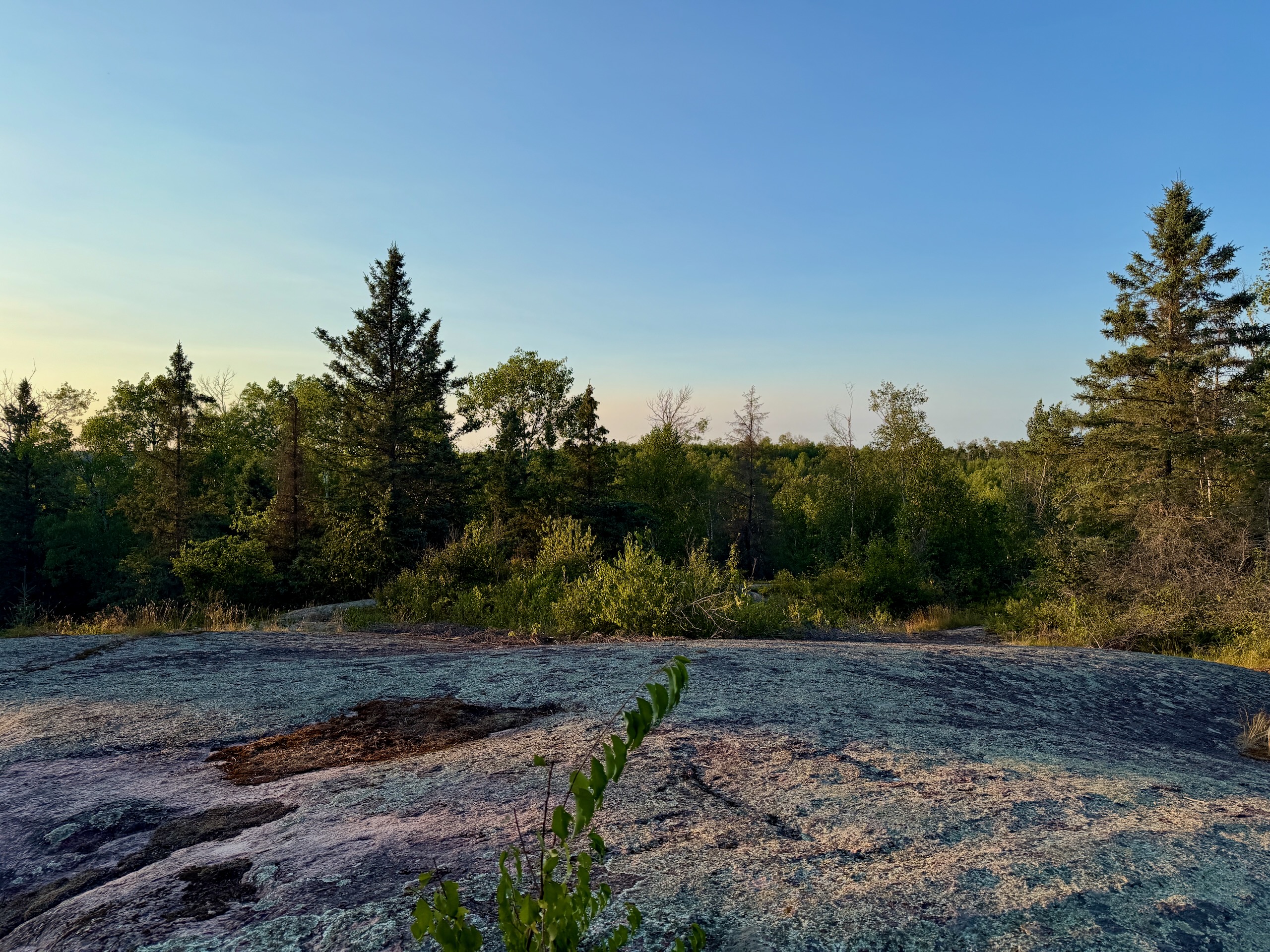
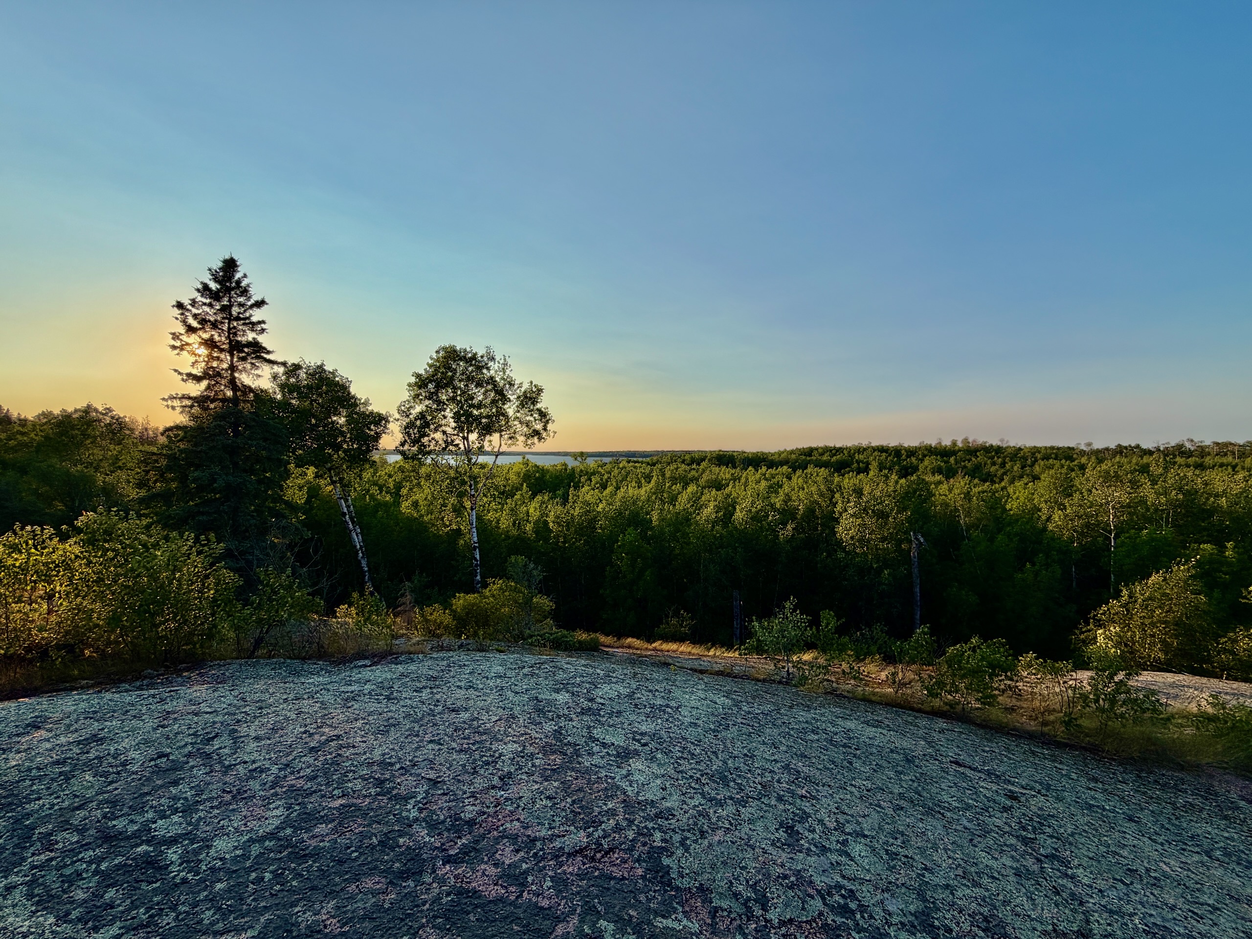
Nutimik Lake Campground is the main one — serviced and unserviced sites arranged in bays, including nine waterfront sites with power and water. Nutimik Lake Old Campground is a separate, older stretch along ER 28, west of the main beach. That’s where we were: treed, quiet, and close enough to the water to hear it. If you’re navigating there, search that exact name rather than assuming it’s part of the main campground — and save the pin offline, because you may have no signal when you arrive.
We were guests on someone else’s site rather than campers, so what follows leans on the park’s own information and what we could see.
The main campground has modern and non-modern washrooms, pay showers, a water supply, a trailer sanitary station and a fish cleaning station. There’s a boat launch, a picnic area, a playground, a volleyball court, and sites designed for wheelchair access. The province also lists lite-camping yurts here. Sites are noticeably treed and private.
Reservations go through the Manitoba Parks Reservation Service: 1-888-482-2267, or 204-948-3333 in Winnipeg. The season runs roughly May to October.
Nutimik Lodge
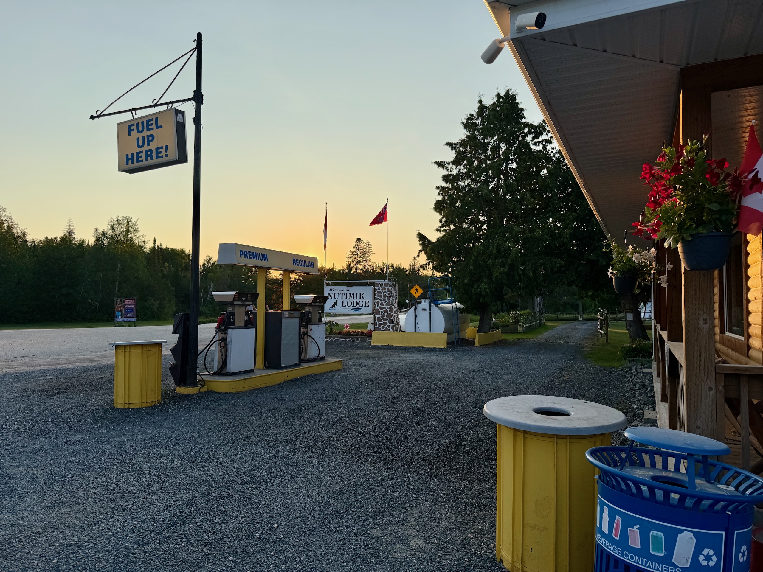
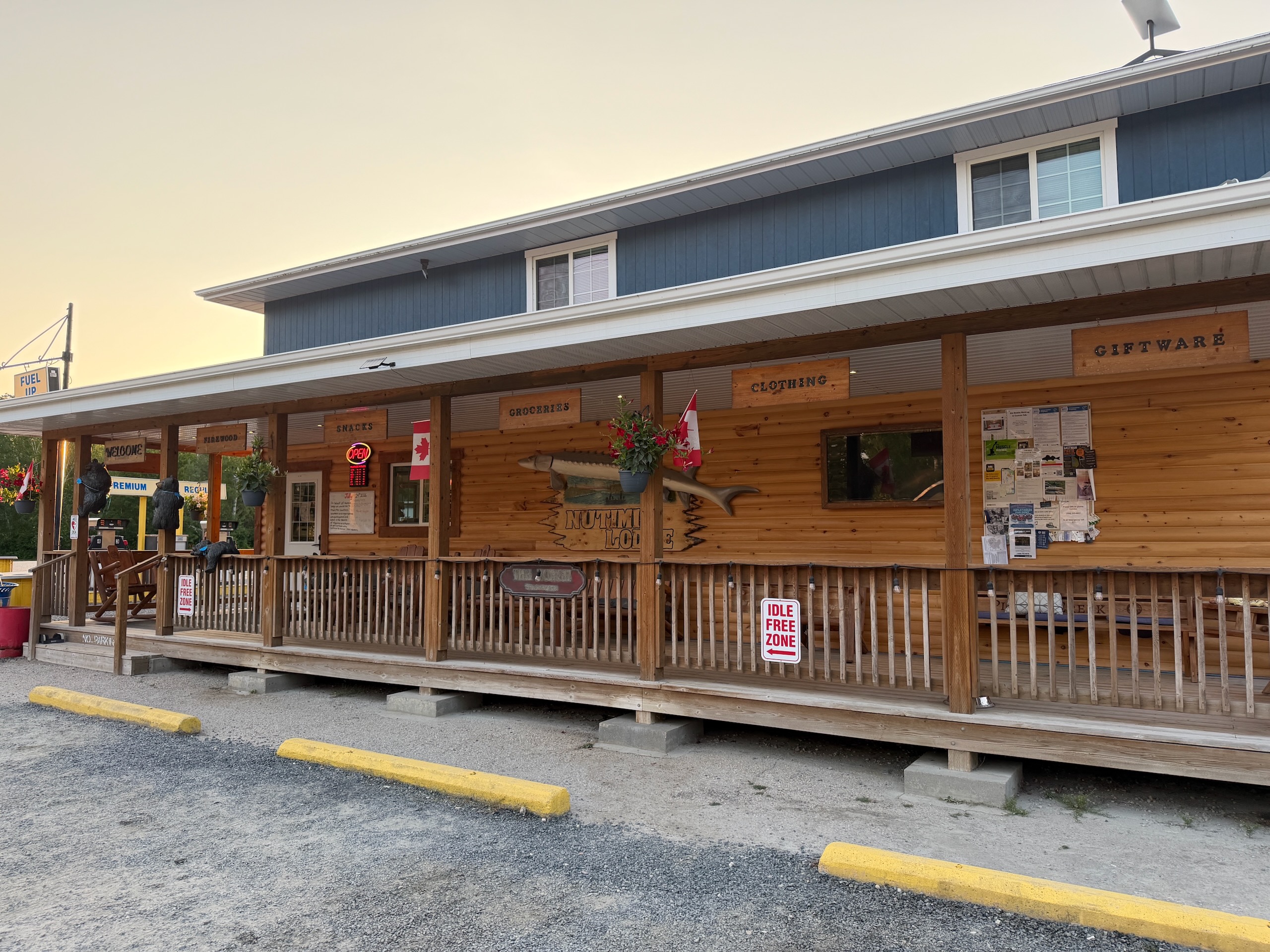
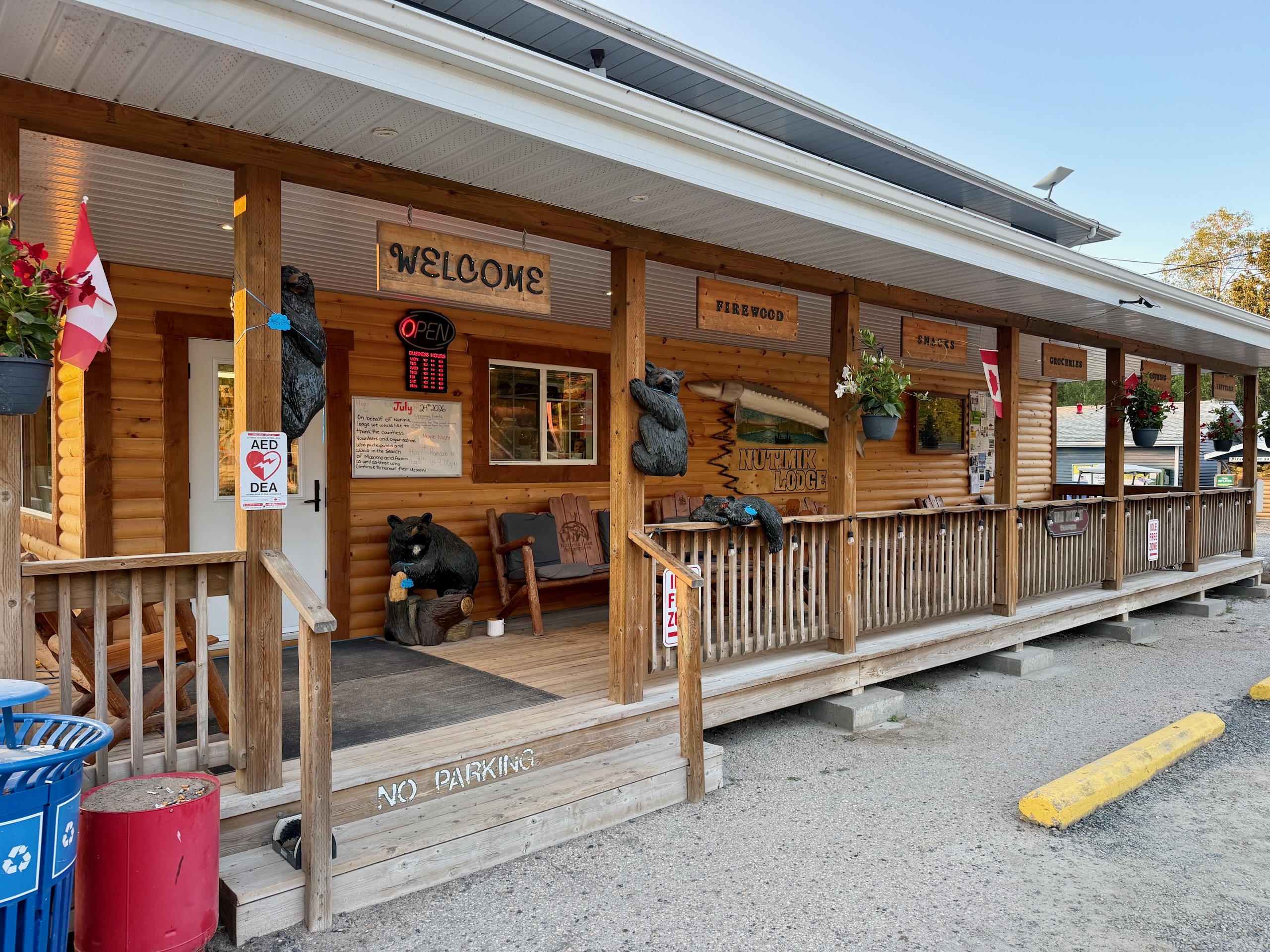
Just before the campground entrance is Nutimik Lodge: a store, fuel, firewood, liquor, cabins, and a rack of wooden keychains carved with local motifs.
It’s the only supply point for a considerable distance and the prices reflect that, so do the real grocery run in the city. Buy your firewood here rather than hauling it from home, though: Manitoba parks discourage moving wood between regions because of invasive species.
The Whiteshell River Suspension Bridge
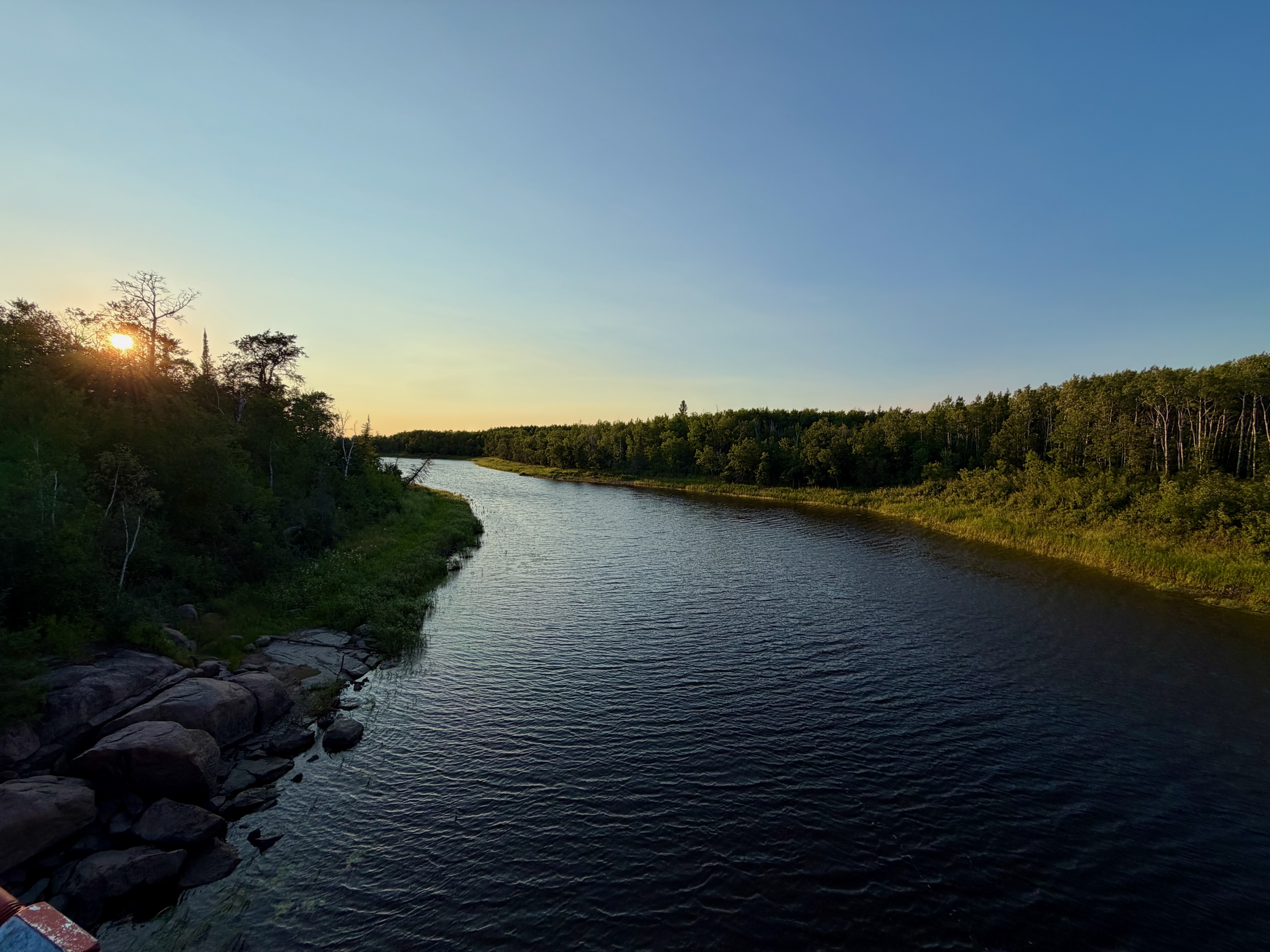
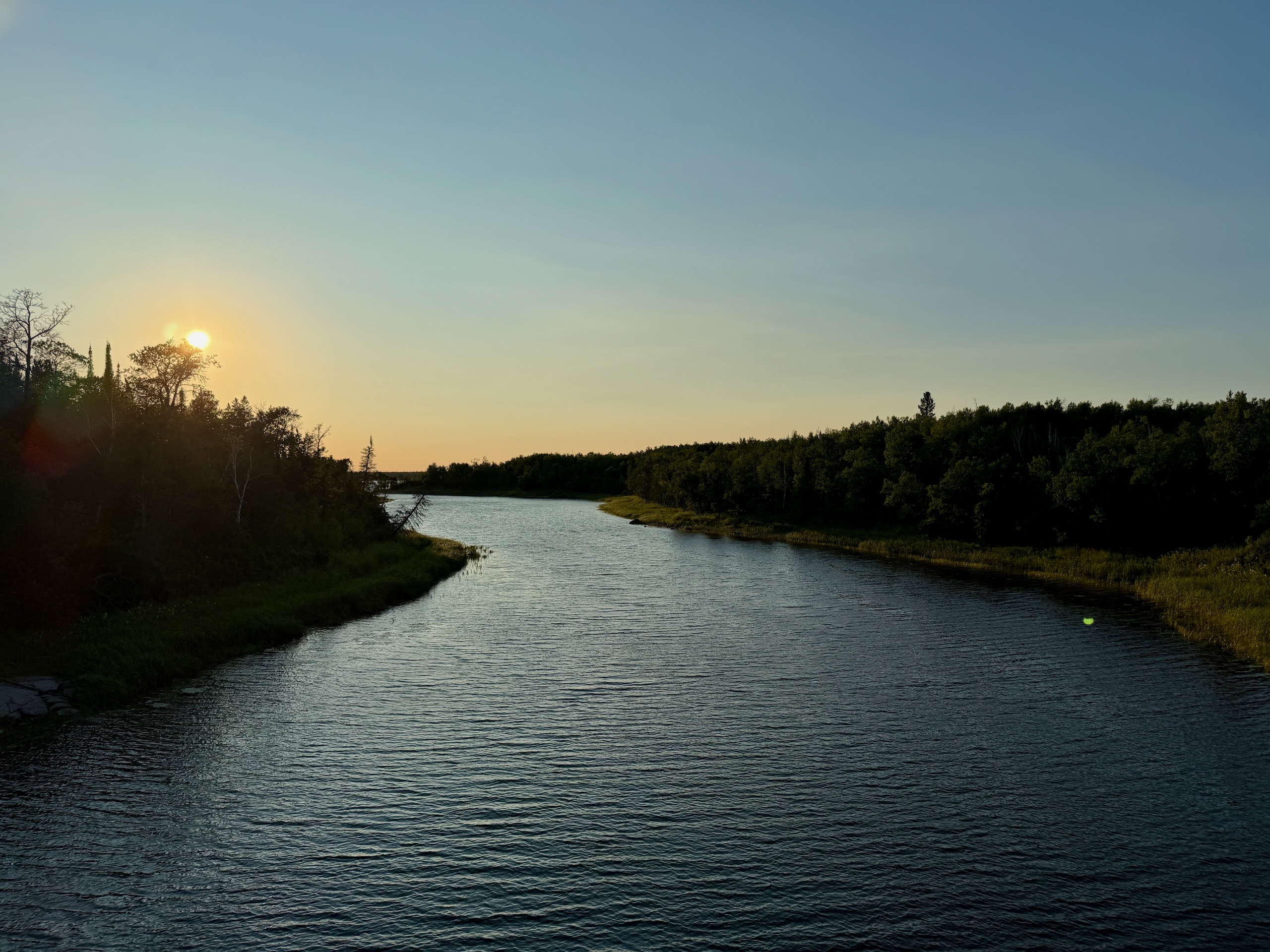
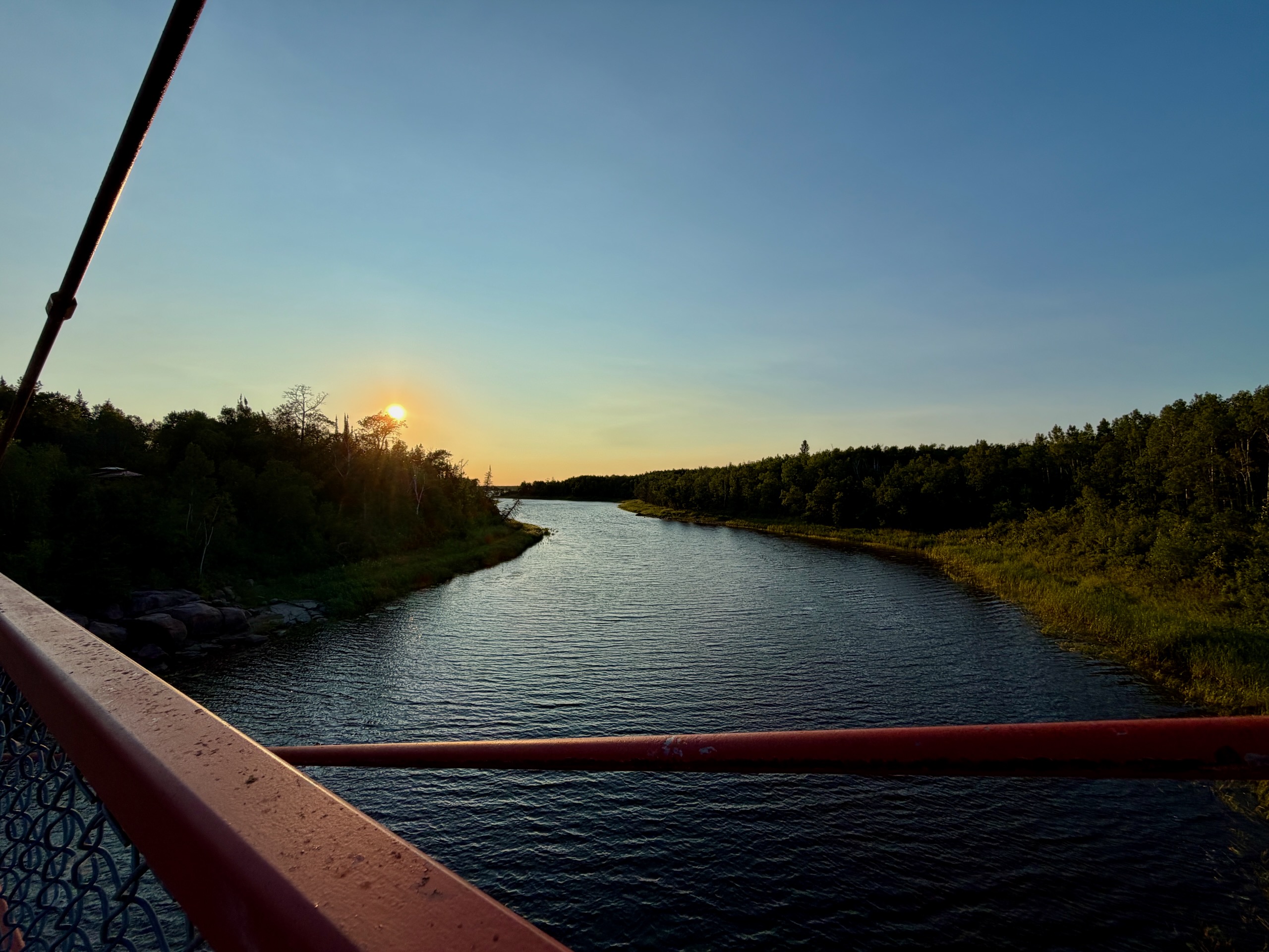
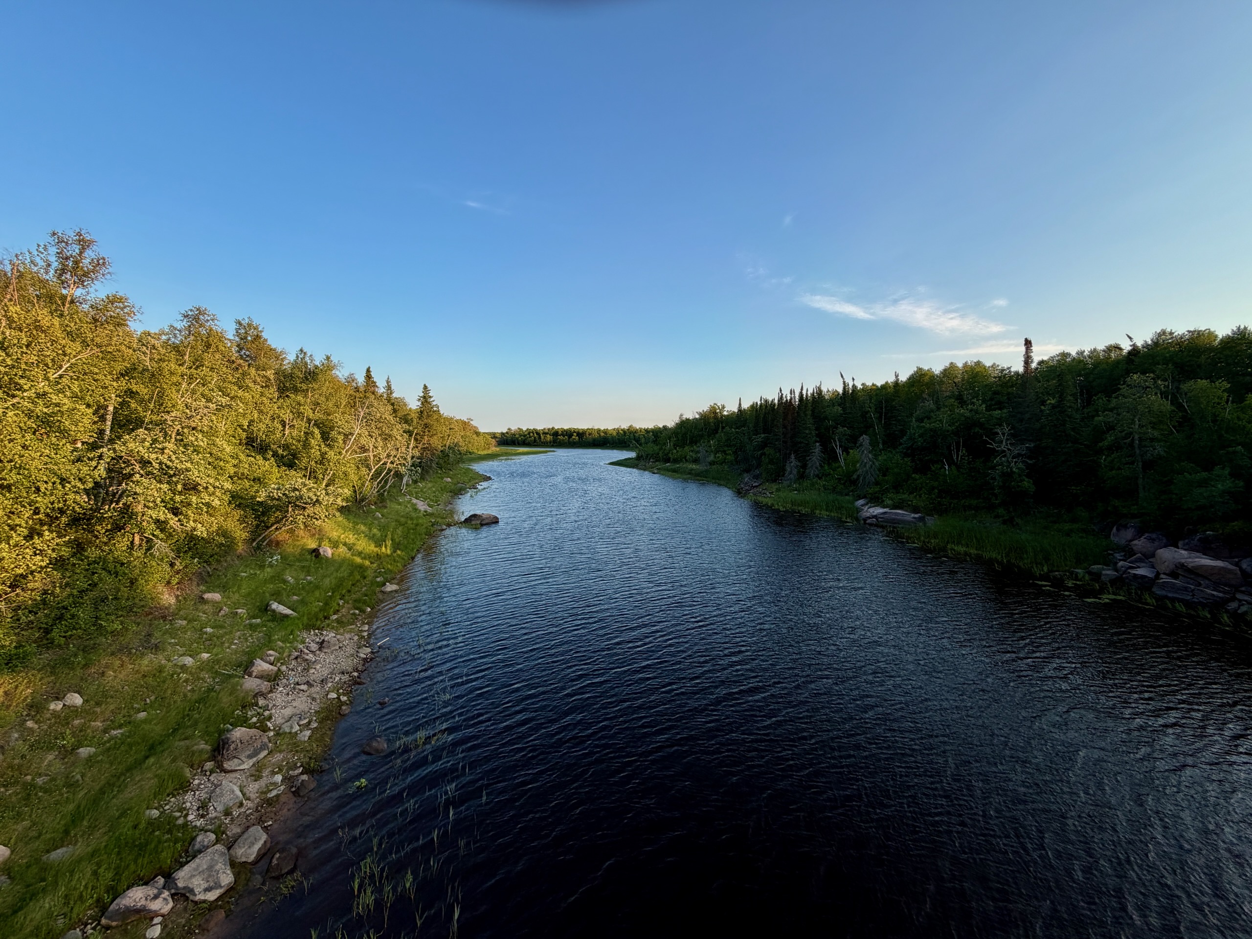
This is the reason to come even if you never get in the water.
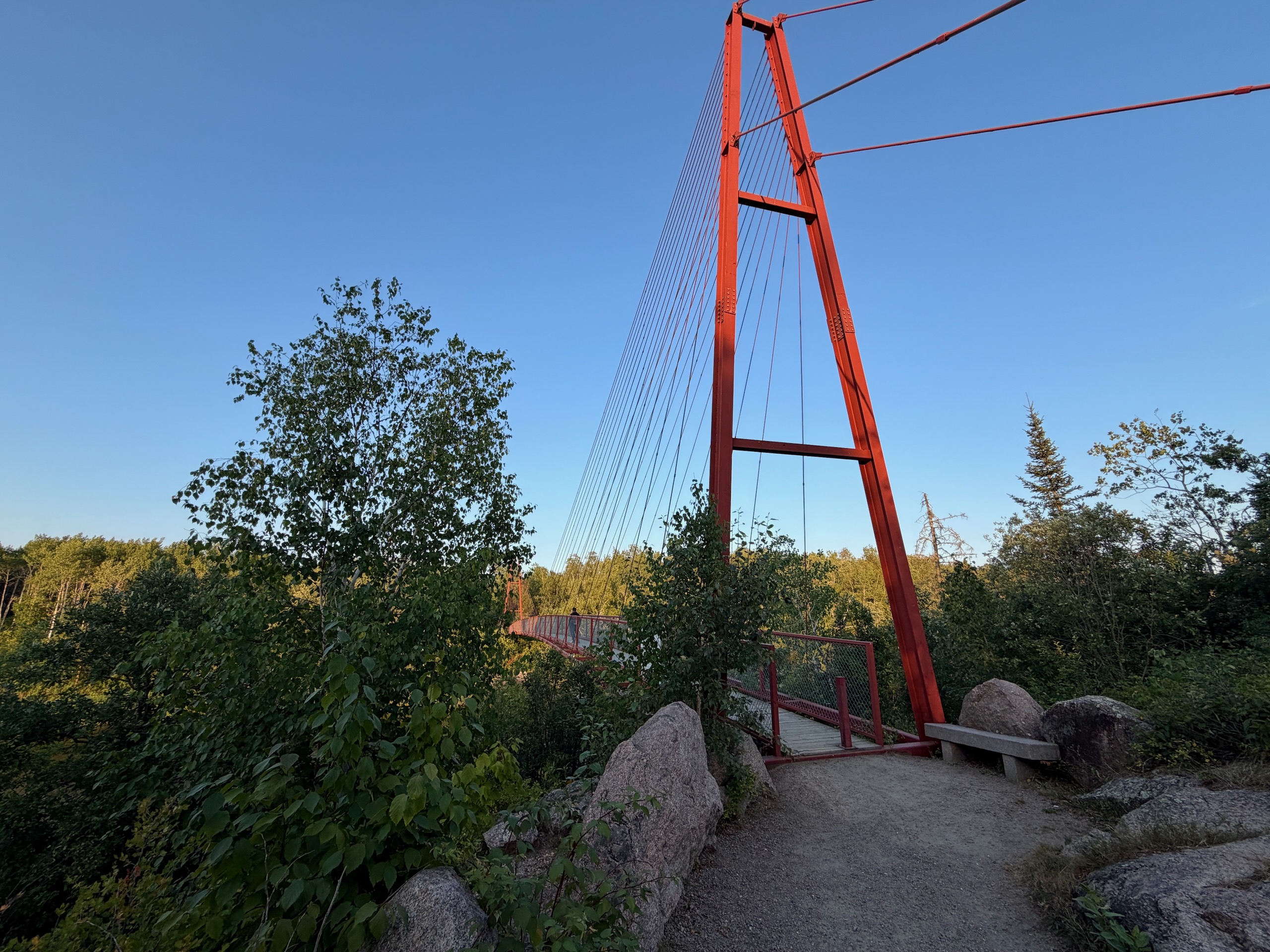
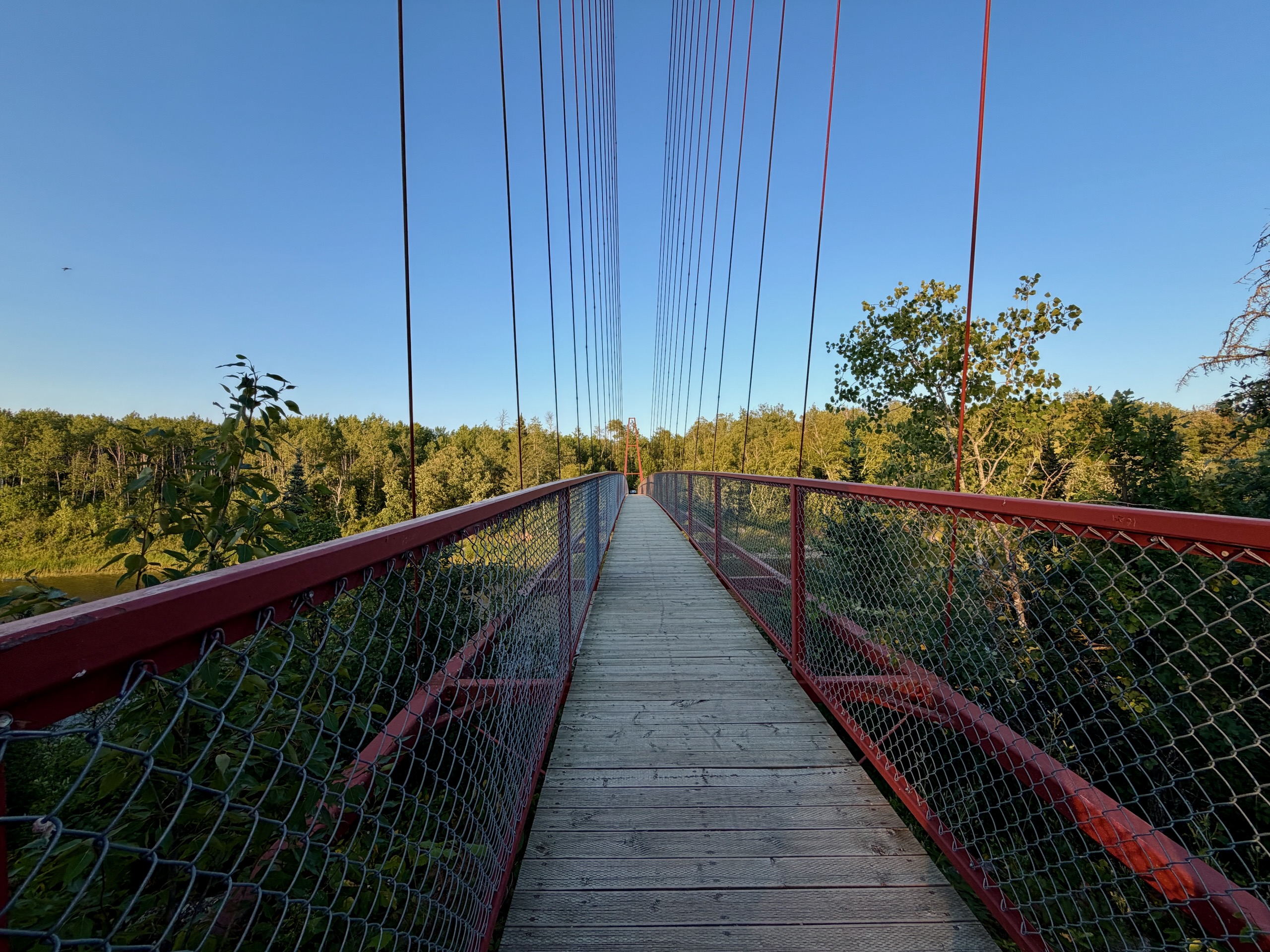
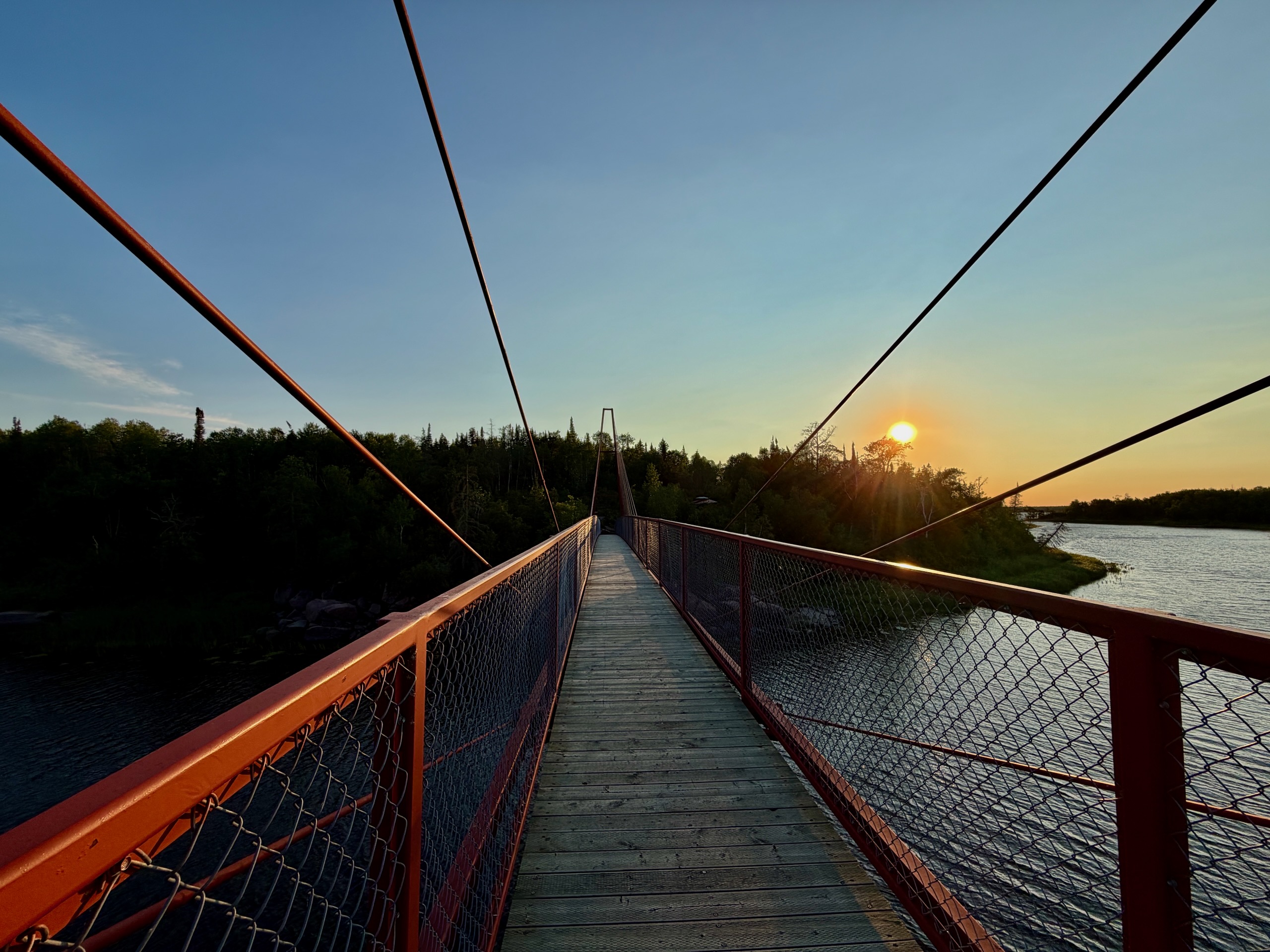
The Whiteshell River Suspension Bridge is a short walk from the campground — ten minutes or so, one hill at the start and level after that — or a four-minute drive to the trailhead parking on a gravel road that’s fine for any car.
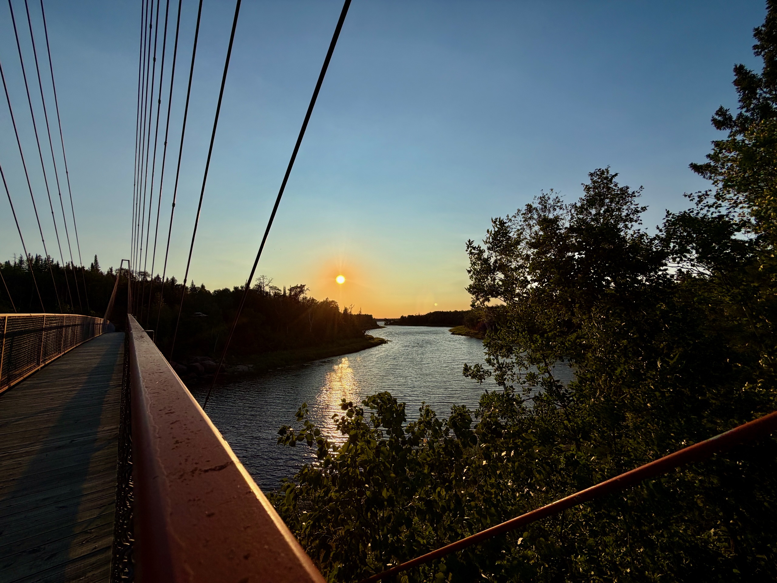
The numbers, from the interpretive panels on site: the river is 50 metres wide here, the span is 86 metres long, and the deck sits four metres above the high water line. For scale, the Pinawa Suspension Bridge half an hour west is 54 metres. It was completed in the spring of 2010 — a wooden deck on a steel frame carried by two steel towers, and the towers were deliberately kept below the treeline so the whole thing settles into the landscape instead of dominating it. The design was inspired by footbridges on New Zealand’s trails.
Then there’s how it was built. A crane raised the two A-frame supports and the first four deck sections. Everything else was done by hand, by workers hanging on cables above the freezing, fast-moving river. The construction technique came from FWS Industrial Projects Ltd., with substantial contributions from local people.
The bridge exists because volunteers wanted it to. In 1999, people from Rennie and the North Whiteshell formed the North Whiteshell Trail Association to build 82 kilometres of trail through the park’s northern section, and this river crossing was the problem that took more than seven years to solve. The section is part of Border to Beaches — 370 kilometres from the Ontario border to Lake Winnipeg — which is in turn part of the Trans Canada Trail.
One detail we enjoyed: the Trans Canada Trail panel still says the network will exceed 22,000 kilometres “when complete.” It passed 30,000 in June 2026.
The bridge has railings and feels solid underfoot. It moves a little, which is most of the fun.
The Sturgeon Falls Trail Is Closed, and Why
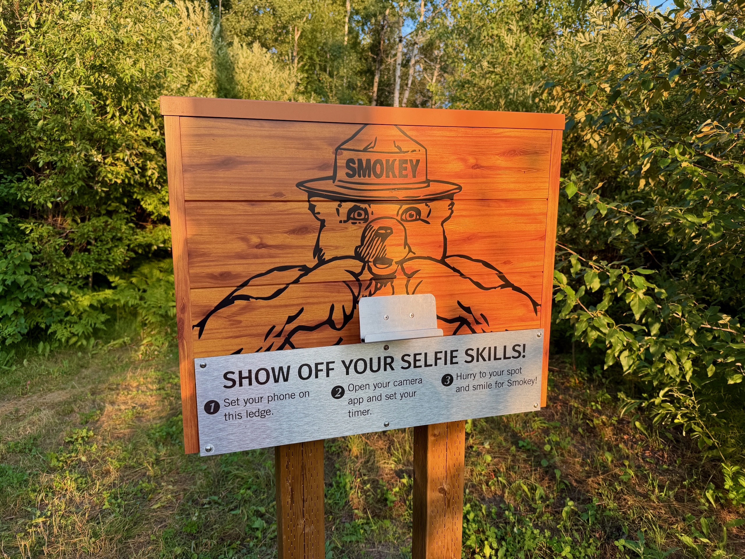
Cross the bridge and the trail forks. The sign gives both distances: 8.9 kilometres to the right along the Trans Canada Trail heading north, and about 1.9 kilometres to the left to Sturgeon Falls.
The left branch is closed.
On July 18, 2026, two brothers drowned at Sturgeon Falls. Maximo Au Ramirez, 10, slipped on the rocks; his 13-year-old brother Aaron went in after him. Both were recovered the following week after a search involving the RCMP underwater recovery team, volunteer aquatic response teams, conservation officers, park staff, local businesses and the cottager community. A 12-year-old boy died at the same site in 2023.
The province closed the stretch from just north of the suspension bridge to the falls and confirmed in late July that it stays shut until safety measures are in place: roughly 300 metres of 1.2-metre fencing to block access to the slippery high-risk rock, updated signage with stronger wording, and fenced viewing areas.
The suspension bridge and the Trans Canada Trail section remain open. You can walk out, cross the river, look, and turn around.
Sturgeon Falls is not a waterfall. It’s a wide, fast set of rapids between Nutimik and the lake above it, and the rock at the edge is polished and often wet. Whenever it reopens: read the signs, keep children well back, and stay off the rock by the water.
Mosquitoes
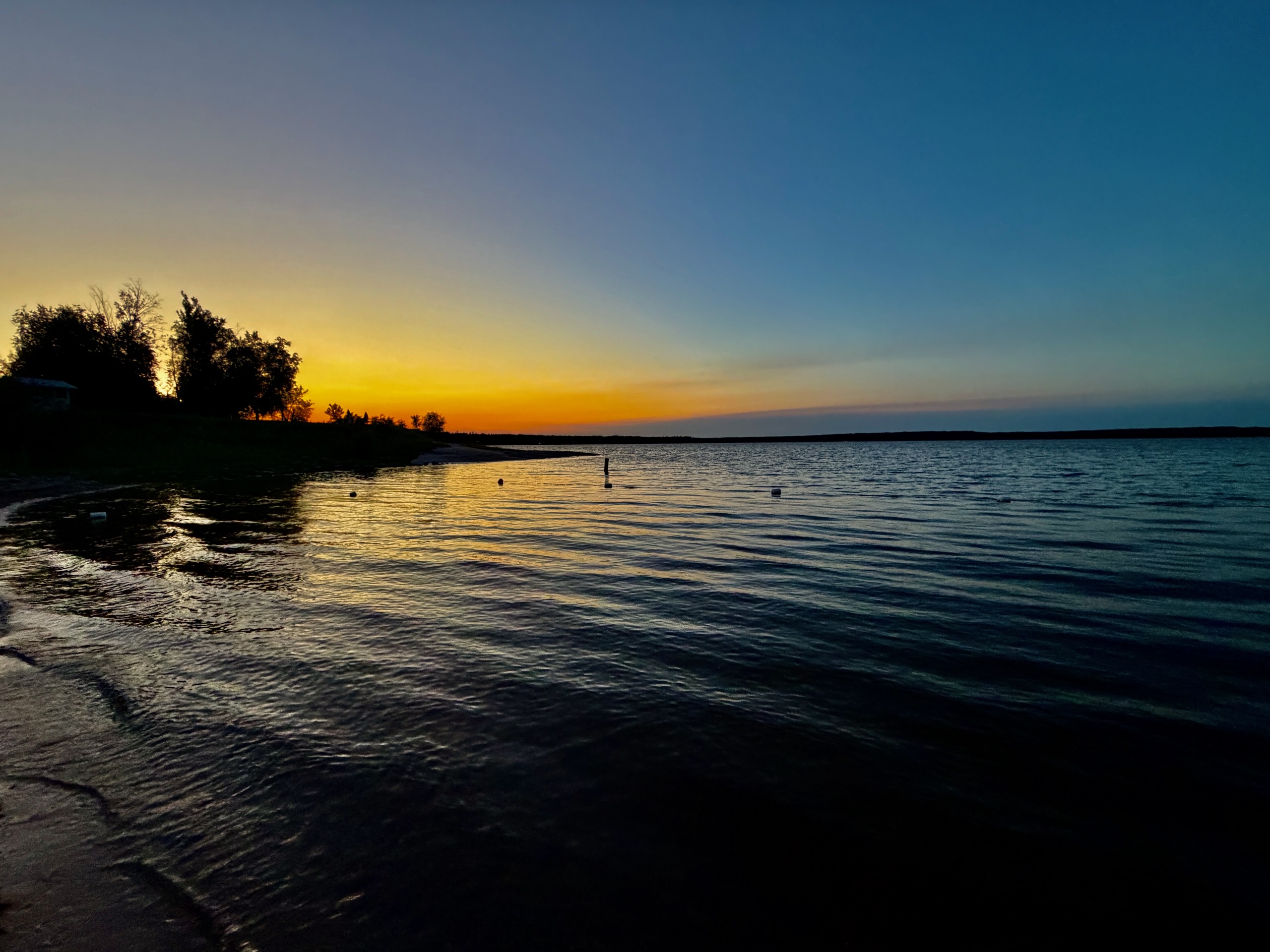
At around nine in the evening the wind dropped and the light started to go, and the mosquitoes arrived. Twenty minutes later nobody was asking whether they wanted repellent.
This is a boreal Shield lake in July. Come with proper repellent, pack long sleeves whether or not you think you’ll want them, and if bugs genuinely ruin things for you, aim for September — the fall colour here is excellent and the mosquitoes have gone.
Kids, Dogs and Accessibility
With kids: the beach is the strong point — sand, shallow entry, playground and volleyball at the main campground. The walk to the bridge is short and mostly level and works fine with small children. Keep them close near any moving water.
With a dog: there’s a sign at the beach saying dogs aren’t allowed on it, and that’s not a local rule — Manitoba Parks doesn’t permit pets at designated beaches with defined swim areas. Everywhere else they’re welcome, but under The Provincial Parks Act they must be leashed or under direct physical control at all times, and you clean up after them. The trail to the bridge is fine with a leashed dog. We didn’t have ours with us this time, so the sign is what we saw rather than something we tested.
Accessibility: the main campground has wheelchair-accessible sites and modern washrooms. The trail to the bridge is not a paved path; it’s a forest trail with one hill at the start and an uneven surface in places.
What to Sort Out Before You Arrive
The permit. A park vehicle permit is required, printed and displayed in the windshield. Prices and where to buy are in our Manitoba park passes, camping and fishing guide.
Fires. We didn’t have one: we were told fires weren’t allowed at the moment and had no time that evening to check it ourselves. The general campfire rules for Manitoba parks are in our Whiteshell Provincial Park guide, and the current state is always here: Manitoba Parks fire and travel restrictions.
Best Time to Go
Summer for the swimming — the beach is the main event and the evenings are long. Early September may be the sweet spot: warm water, fewer people, far fewer mosquitoes. Fall for colour on the Shield. Winter the campground closes, but the trail and bridge stay accessible on foot and ski.
Our visit was a hot Friday at the end of July, and the honest summary is: perfect from four until nine, and a fight after that.
Quick Reference
| What | Details |
|---|---|
| Where | Nutimik Lake, north Whiteshell Provincial Park, eastern Manitoba |
| From Winnipeg | about two hours; the route is in a separate guide |
| Entry | Park vehicle permit, printed |
| Beach | Sand, clean, unsupervised; water cooler and less clear than a quarry lake |
| Campgrounds | Nutimik Lake Campground (main) and Nutimik Lake Old Campground on ER 28 |
| Reservations | 1-888-482-2267 (204-948-3333 in Winnipeg); season approx. May–Oct |
| Supplies | Nutimik Lodge — store, fuel, firewood, liquor, cabins |
| Bridge | 86 m span, 4 m above high water, built 2010 |
| Trail | Short walk from the campground; Trans Canada Trail continues 8.9 km north |
| Closed now | Sturgeon Falls trail (~1.9 km) |
| Dogs | Not allowed on the beach; leashed elsewhere |
| Bugs | Severe after sunset, July and August |
| Signal | Unreliable — offline maps needed |
| Nearby | Bannock Point Petroforms, Pine Point Rapids, Seven Sisters |
Who Nutimik Lake Is For
- Anyone who wants a lake within two hours of Winnipeg that doesn’t need a whole weekend
- Families — sand beach, playground, a short flat walk to a genuinely impressive bridge
- Anglers and paddlers — boat launch, fish cleaning station, the Winnipeg River system on the doorstep
- People who like knowing how things got built — the bridge story is worth the drive on its own
- Not for anyone who can’t handle mosquitoes in high summer, or who’s expecting clear turquoise water
What We’d Do Differently
Go earlier and stay for the sunset, but bring the repellent from the car instead of leaving it there. Walk to the bridge instead of driving — it’s ten minutes and the trail is half the pleasure. And put a September date in the calendar, because the same place with cool air and no bugs is likely a different animal entirely.
The park it sits inside is in our Whiteshell Provincial Park write-up, and the closest comparison nearby is the Pinawa Suspension Bridge.
Last checked: August 2026. We were at Nutimik Lake on Friday, July 31, 2026, staying at the Old Campground. The beach, the water, Nutimik Lodge, the walk to the suspension bridge, the closed trail branch, the no-dogs sign at the beach and the mosquitoes are all firsthand. We did not camp overnight, so the main campground description draws on Manitoba Parks’ own listings and what we could observe. We did not have a fire, we did not have our dog with us, and we have not seen Sturgeon Falls itself.
Sources checked: Manitoba Parks (campground facilities, fire and travel restrictions, Paws in Parks), Manitoba government news releases, CBC News, Whiteshell Cottagers Association, Travel Manitoba, and Manitoba Recreational Trails Association interpretive panels read on site. Restrictions, closures and campground services change — confirm before you travel.