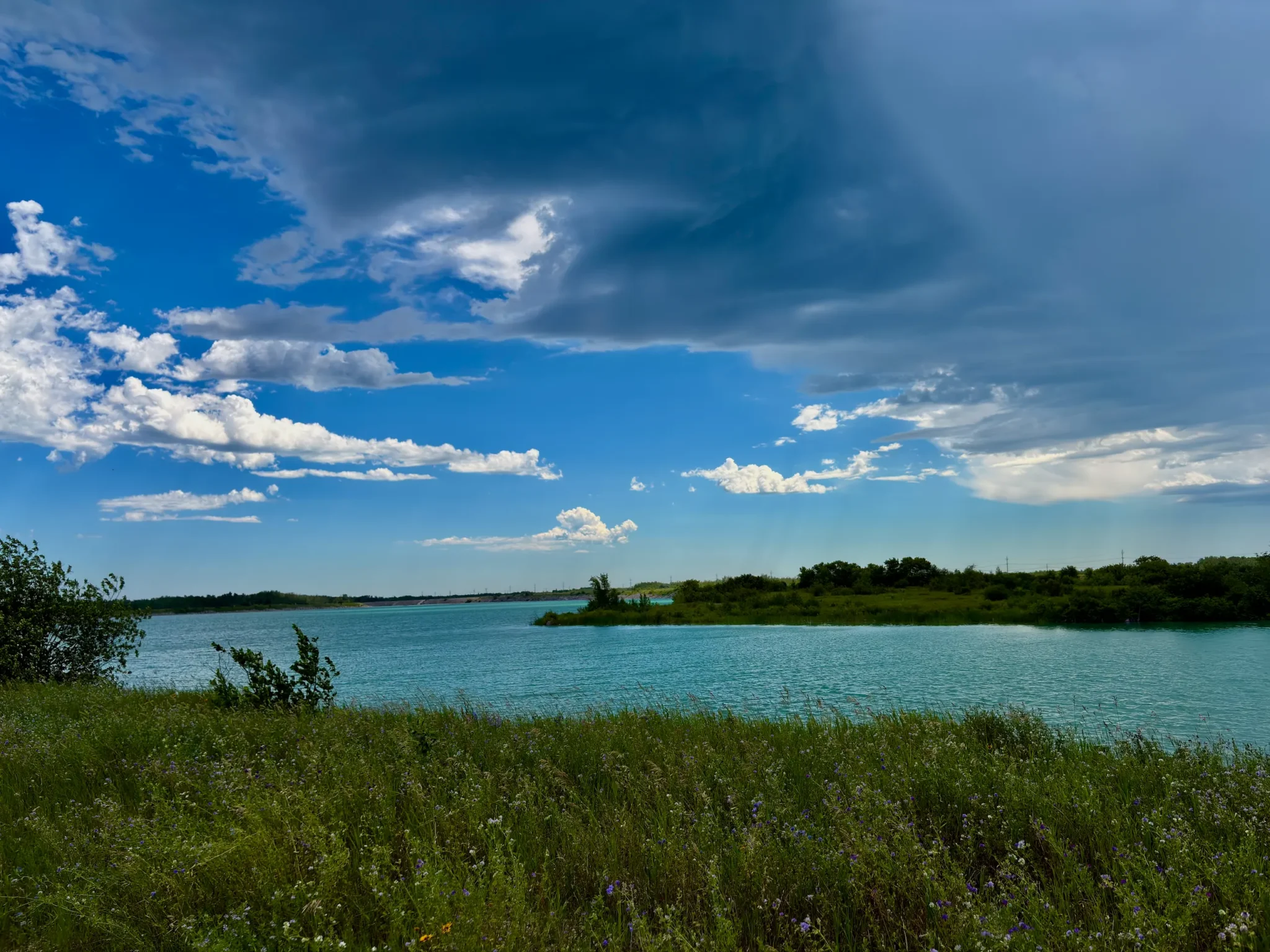
131 kilometres east. An hour and forty minutes of driving. Leave the city at two on a Friday and you’re in the water before supper.
The invitation came midweek and it was three words long: Nutimik, Friday, come.
We’d been in one of those stretches of Manitoba July where the city stops cooling down at night, and by Thursday everyone at work has the same slightly hollowed-out look. So the plan wasn’t complicated: finish at two, drive east, get in a lake.
This wasn’t a planned weekend, which is exactly why it’s worth writing down. It turned out to need far less than you’d think.
The Route and How Long It Actually Takes
We were on the road at two, which on a Friday means leaving with the first wave of cottage traffic rather than the middle of it.
We went east on PTH 44 rather than the Trans-Canada, then north to Seven Sisters and east into Whiteshell Provincial Park on PR 307. 131 kilometres, an hour and forty of actual driving.
The last stretch is the good part: the road stops feeling like a highway, the farmland gives up, and the rock starts. You cross the Whiteshell River twice, and the road bends enough that you slow down without deciding to.
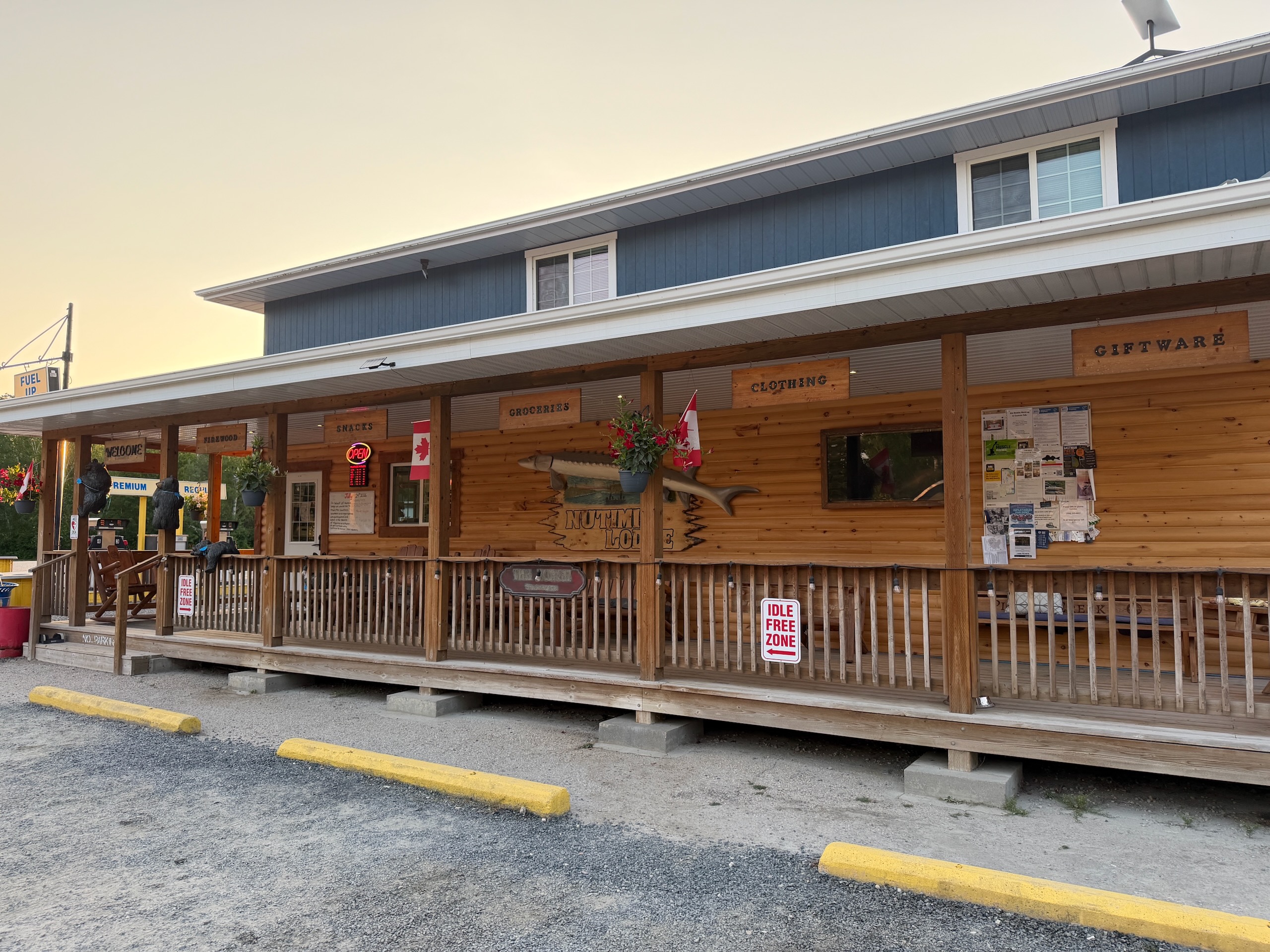
We arrived at half four — later than that arithmetic suggests, because we stopped in the city for fruit, snacks and food for the evening. Plan for two and a half hours door to door if you’re doing a proper grocery run, and do it in Winnipeg. There’s a store at Nutimik Lodge near the lake, but it’s built for what you forgot rather than for a full shop.
One more thing to sort out before you go: cell service and data start dropping out well before you reach the park and stay that way. Download offline maps of the area while you still have signal — and do it before you leave, not while you’re looking for the turnoff.
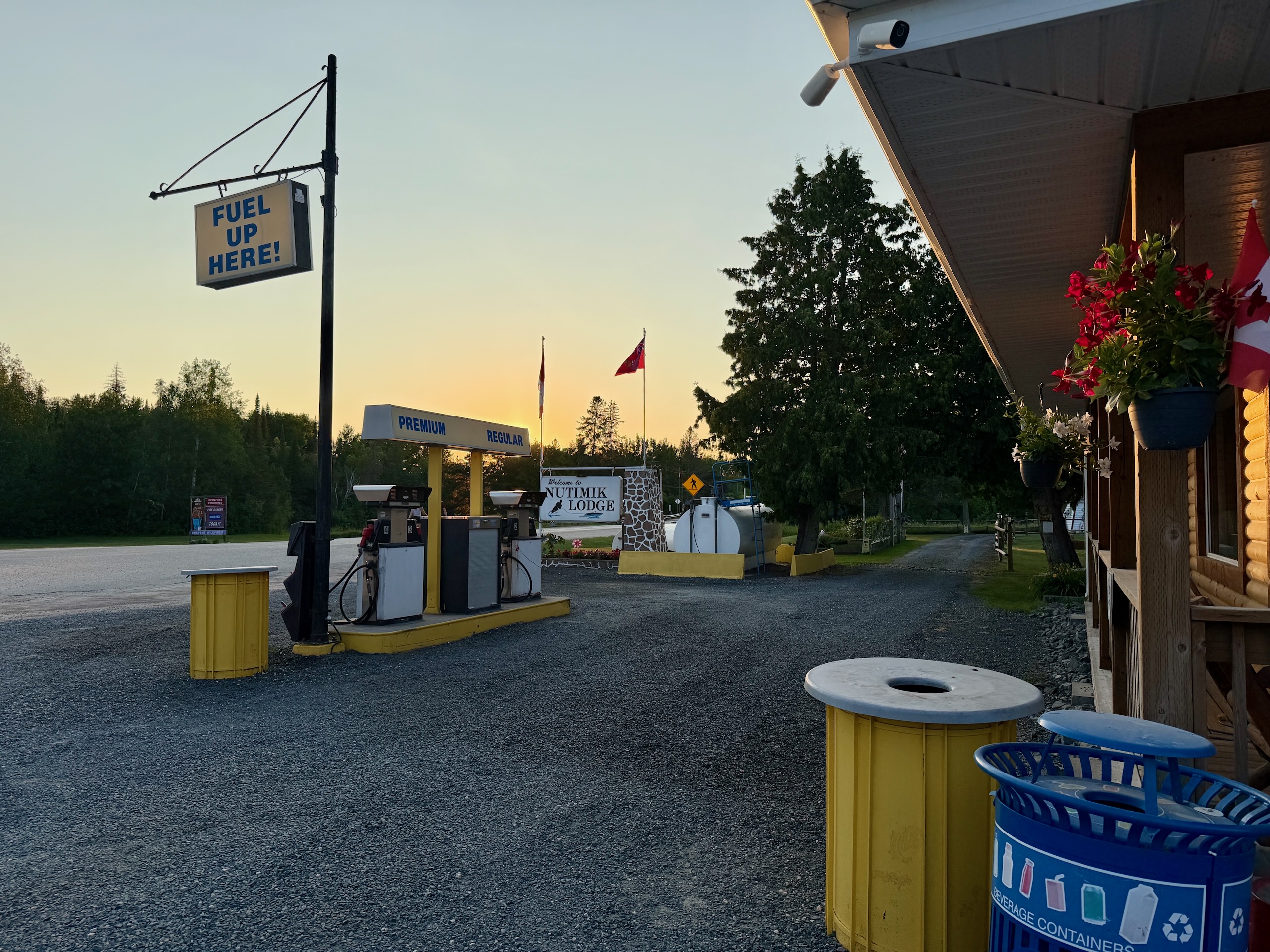
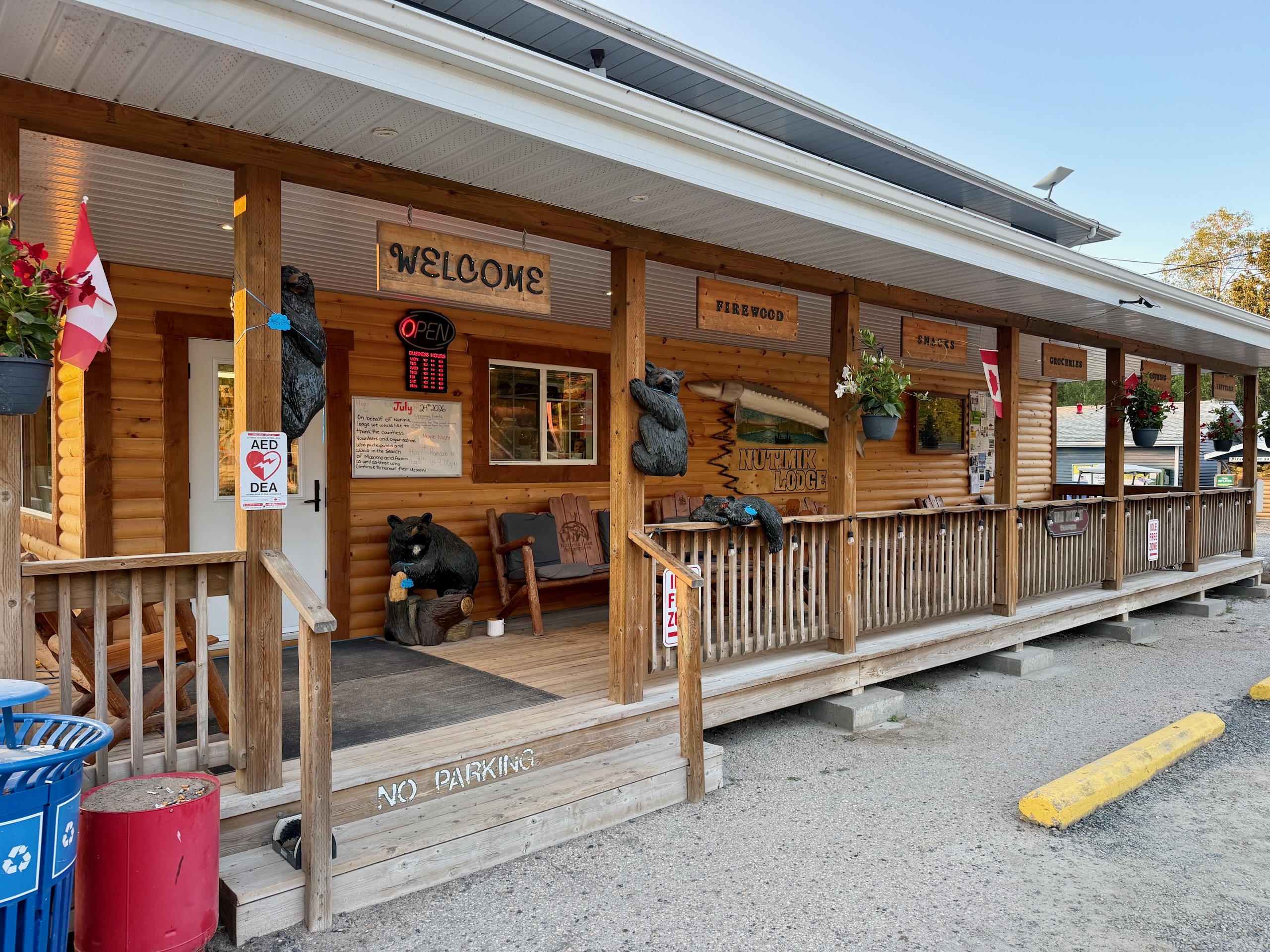
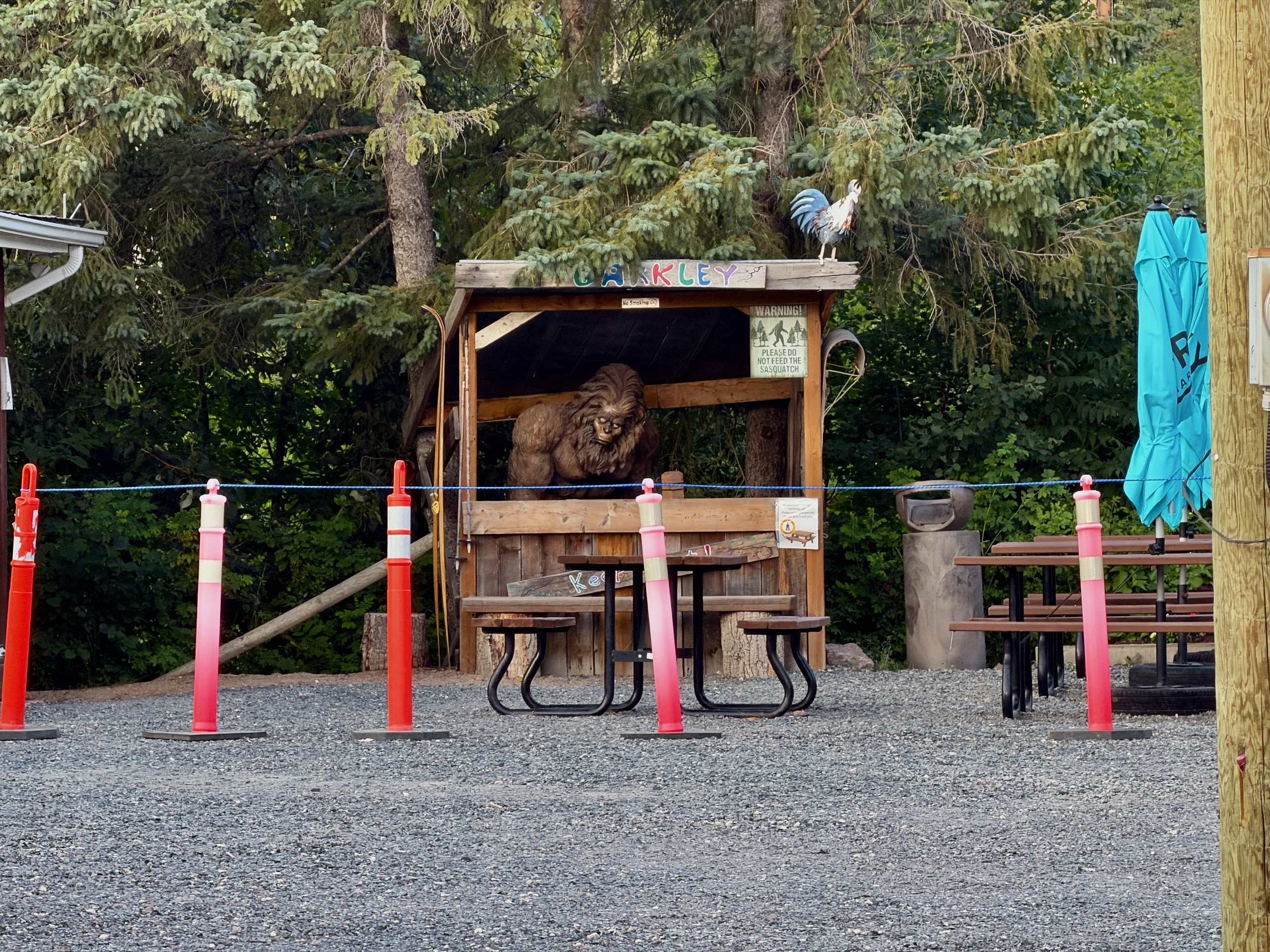
Two Things to Do Before You Leave
The park permit. Ours was already on the windshield. It has to be printed at home — a photo on your phone doesn’t count. Prices and where to buy are in our Manitoba park passes, camping and fishing guide.
The fire rules. We didn’t cook over a fire: our friends said fires weren’t allowed at the moment, we had no time that evening to check it ourselves, and we decided not to risk it — we’d brought food that didn’t need one. If grilling is part of your plan, confirm it on the Manitoba Parks fire and travel restrictions page, because it changes through the season.
Straight Into the Water
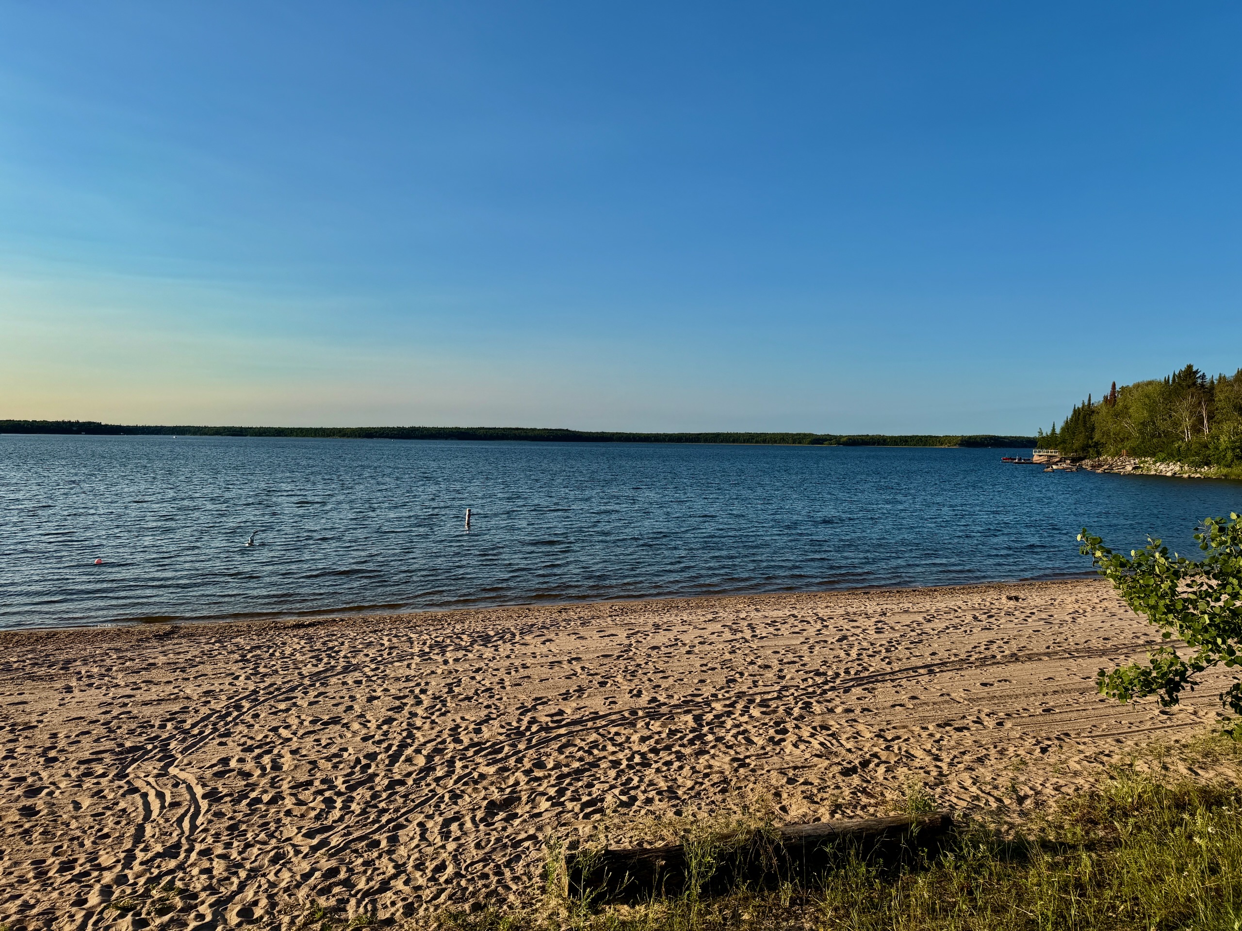
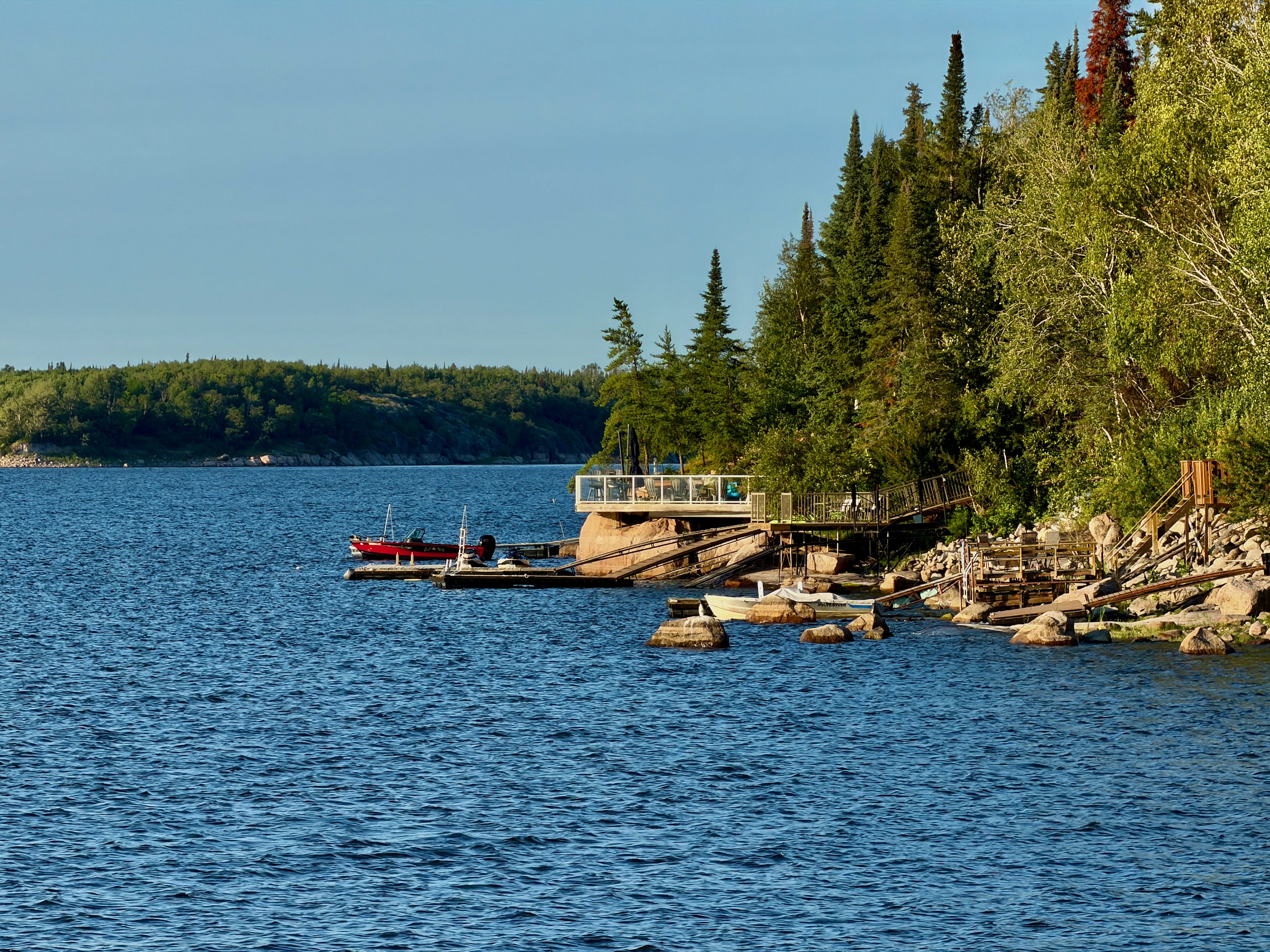
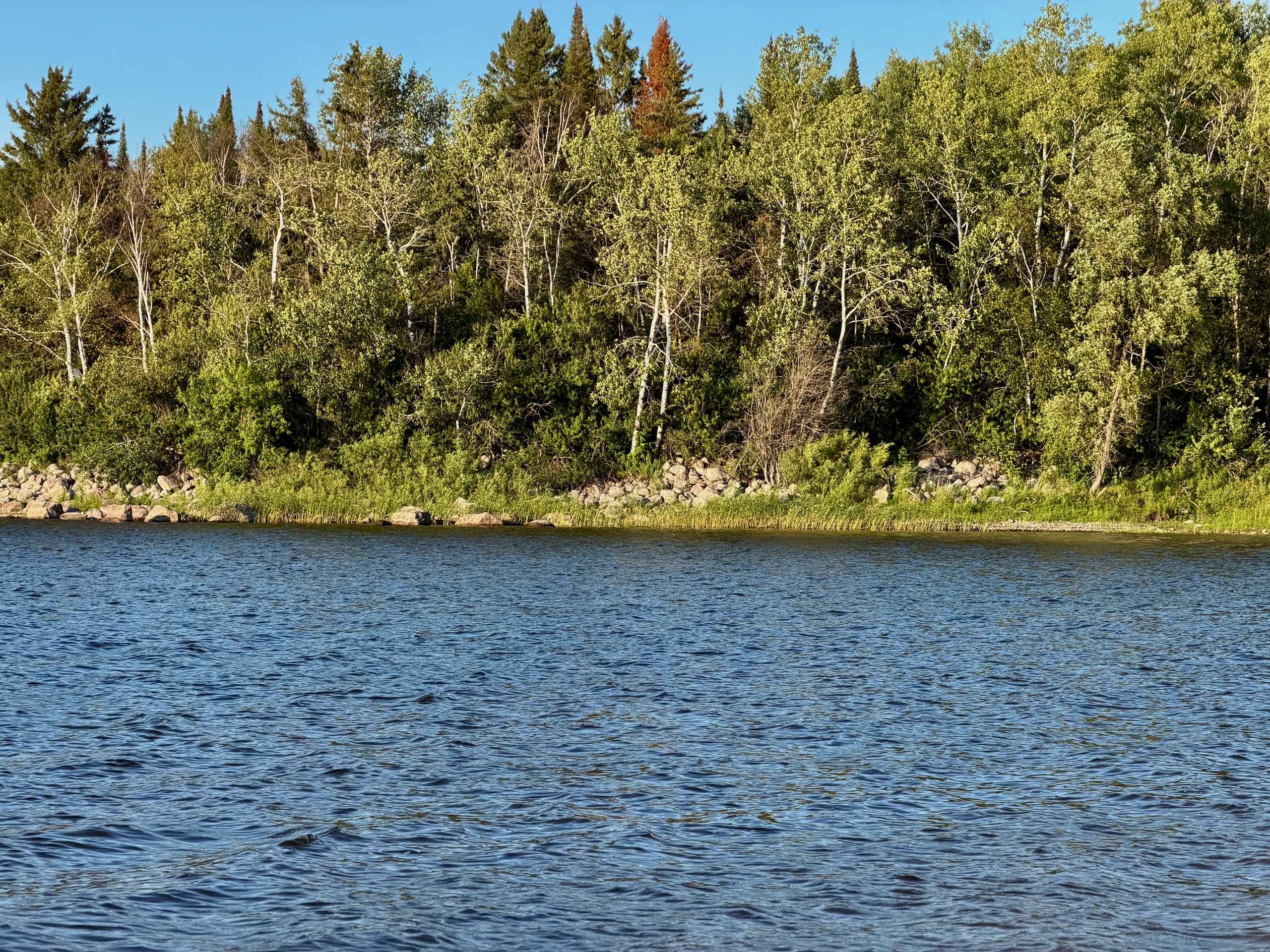
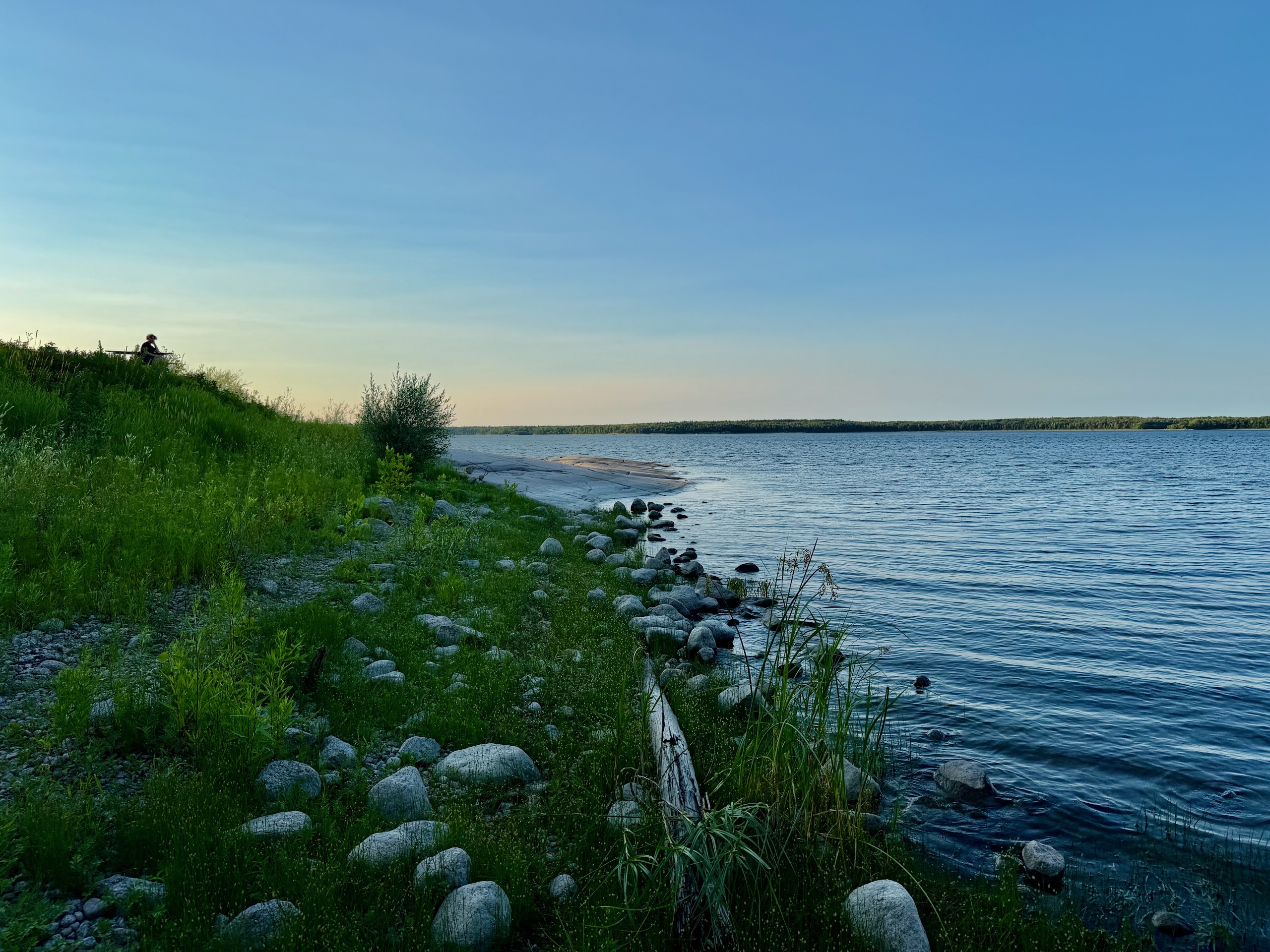
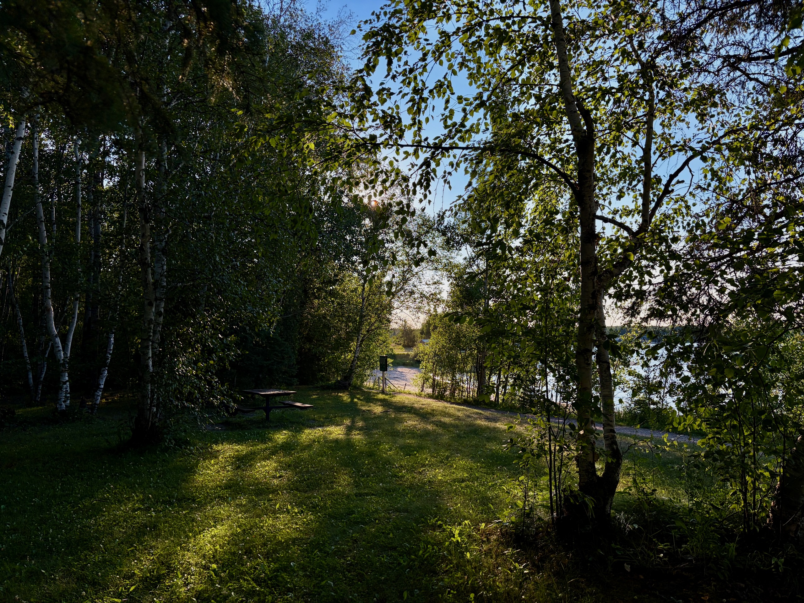
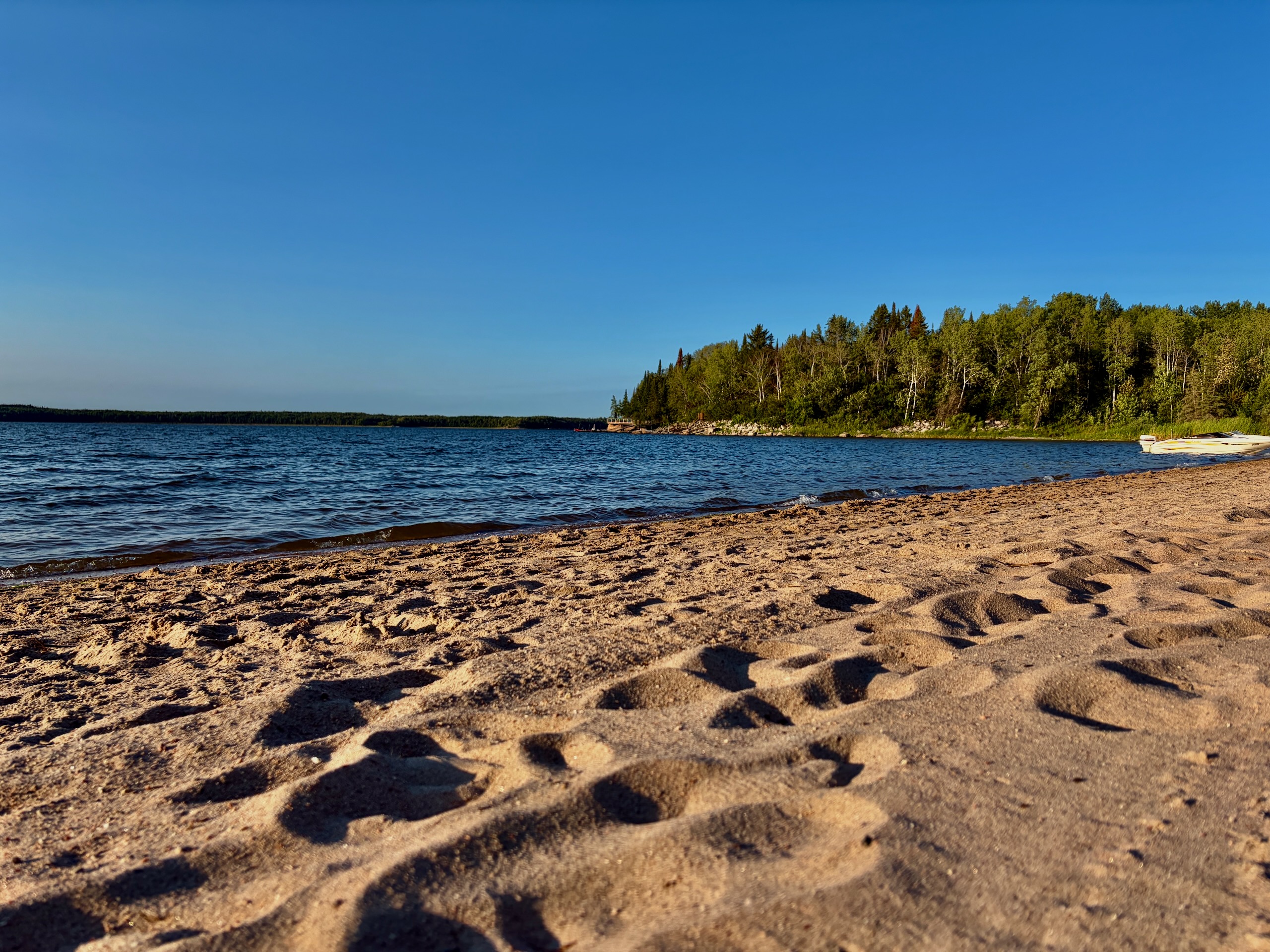
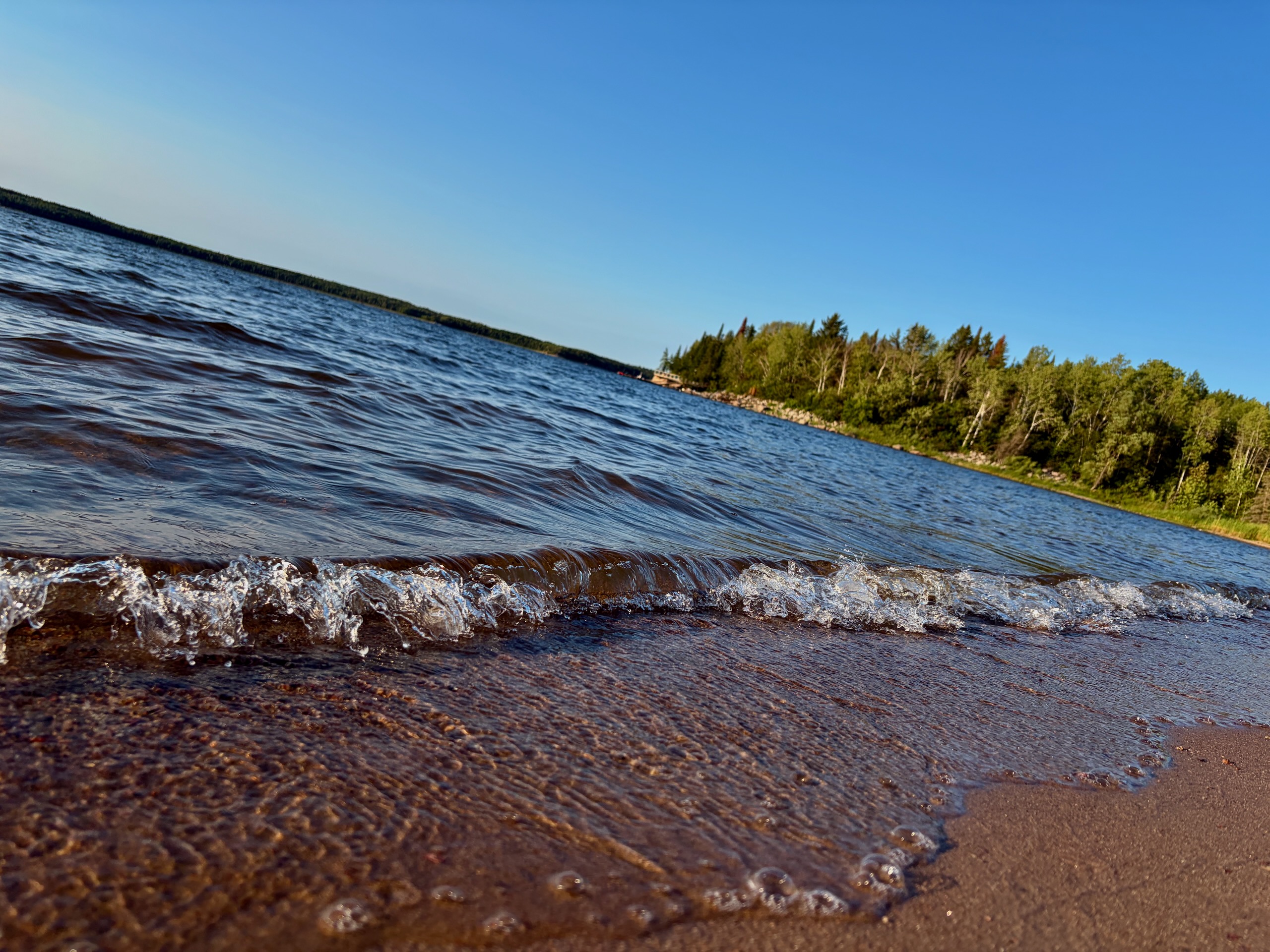
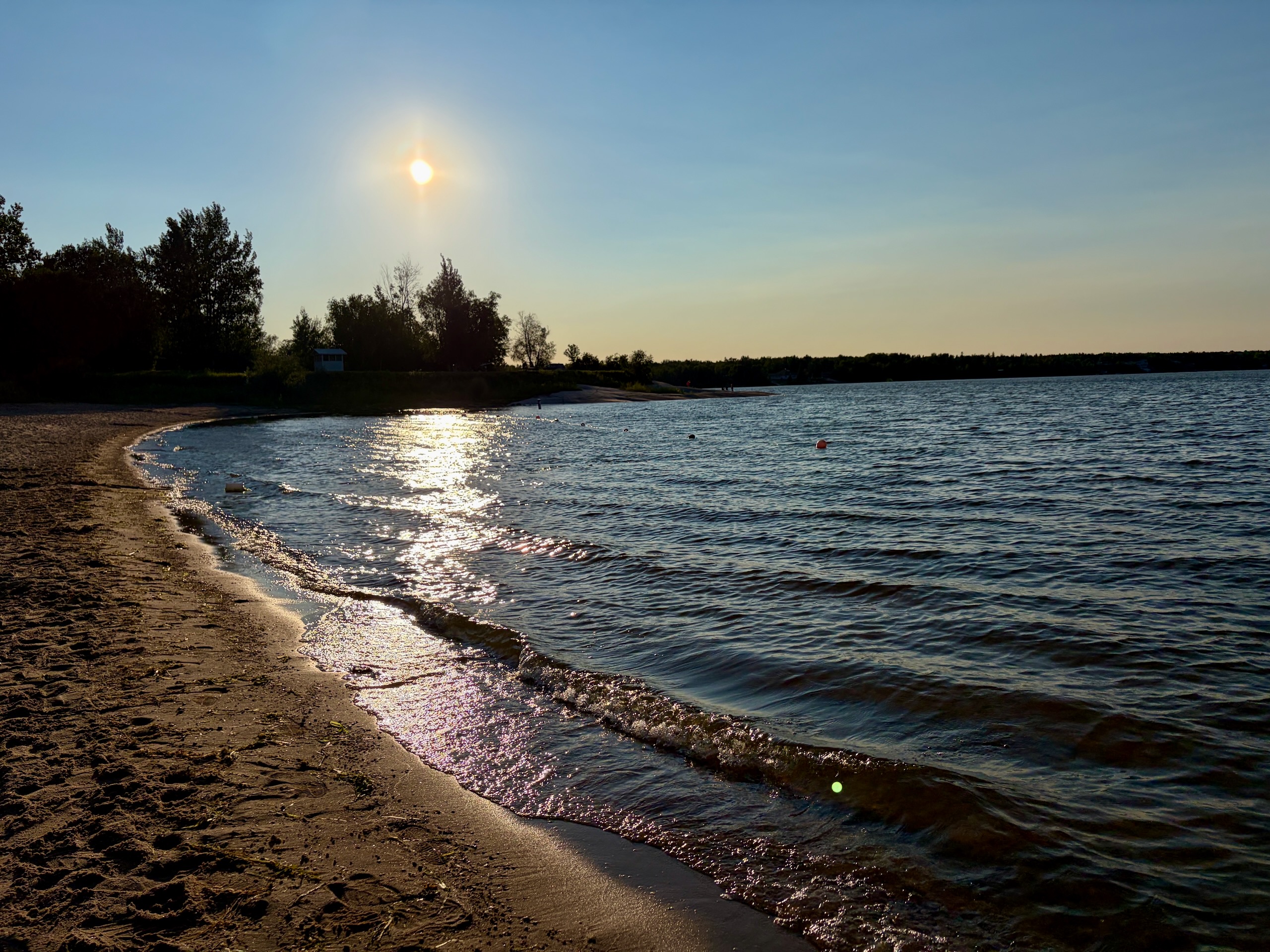
Our friends had a site at Nutimik Lake Old Campground — the older stretch along ER 28, separate from the main campground. We unpacked and went swimming.
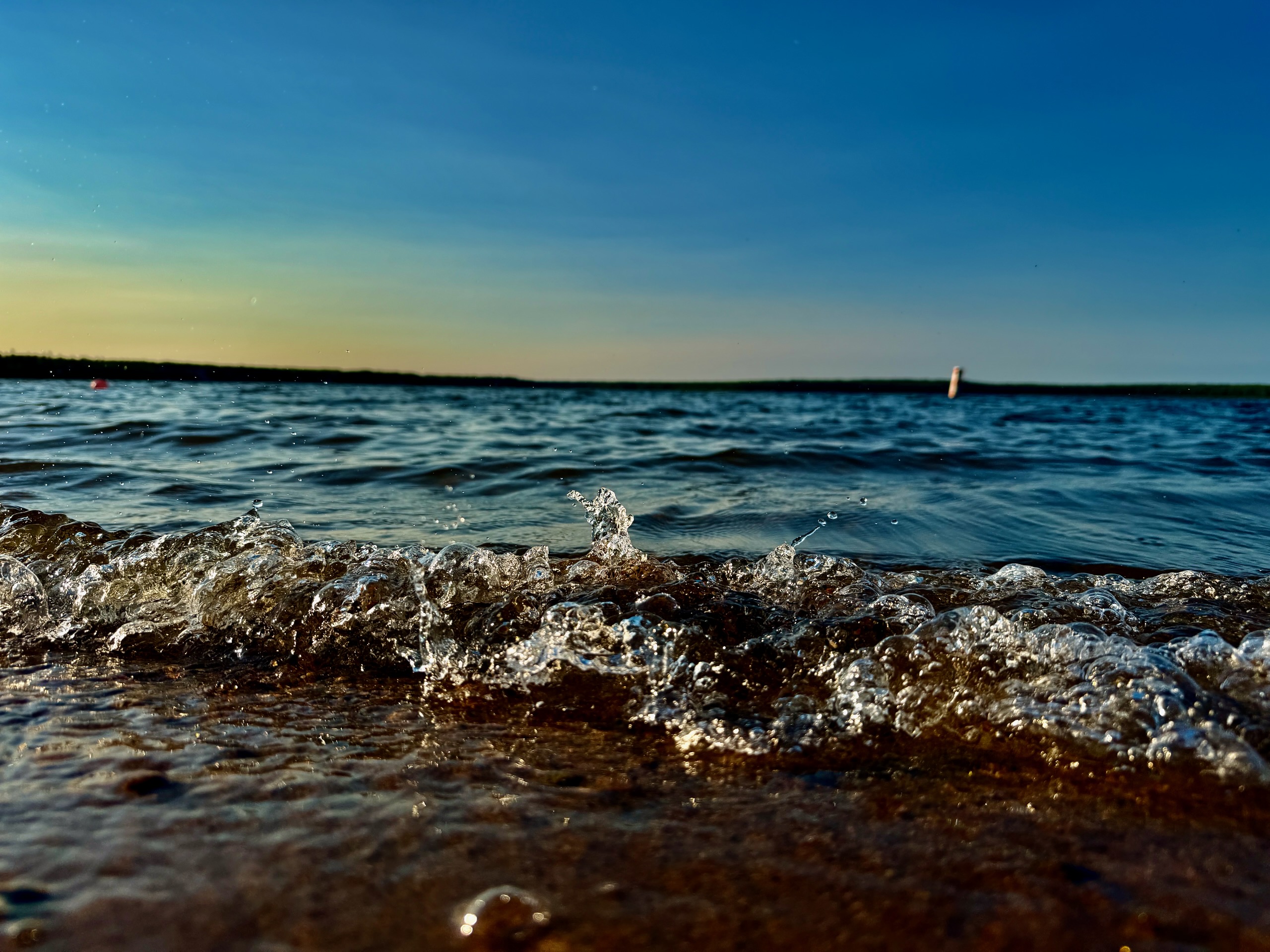
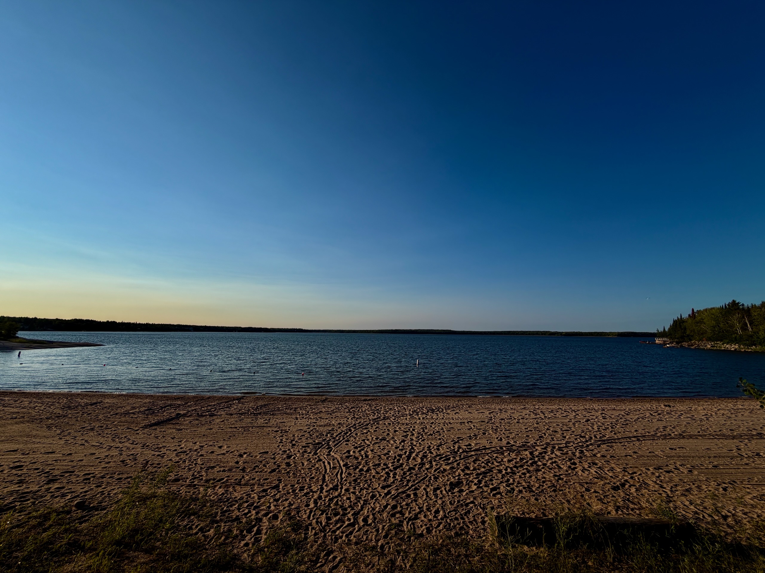
The water was cooler than the beach at Big Tree Park, and after a week of that heat it was exactly right. Sand, clean, quiet. For more on the beach, the campgrounds and what to expect from them, see Nutimik Lake, Manitoba.
The Detour to the Suspension Bridge
Then somebody mentioned there was a suspension bridge nearby.
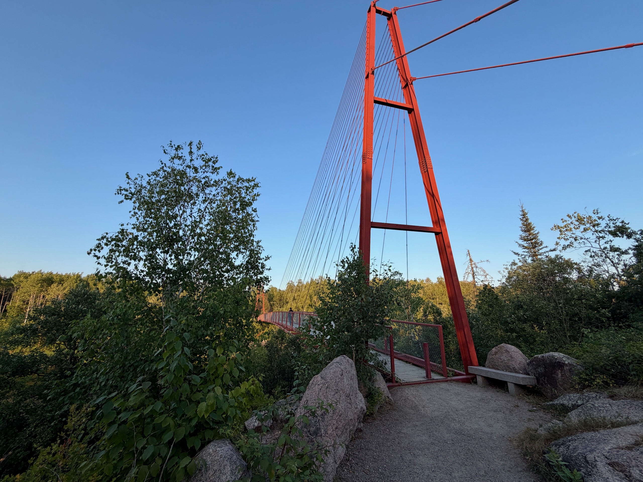
We’d written about the Pinawa Suspension Bridge earlier this summer, so this got my attention immediately — and it turned out to be four minutes away by car. We told our friends we’d be right back and left, still half wet.
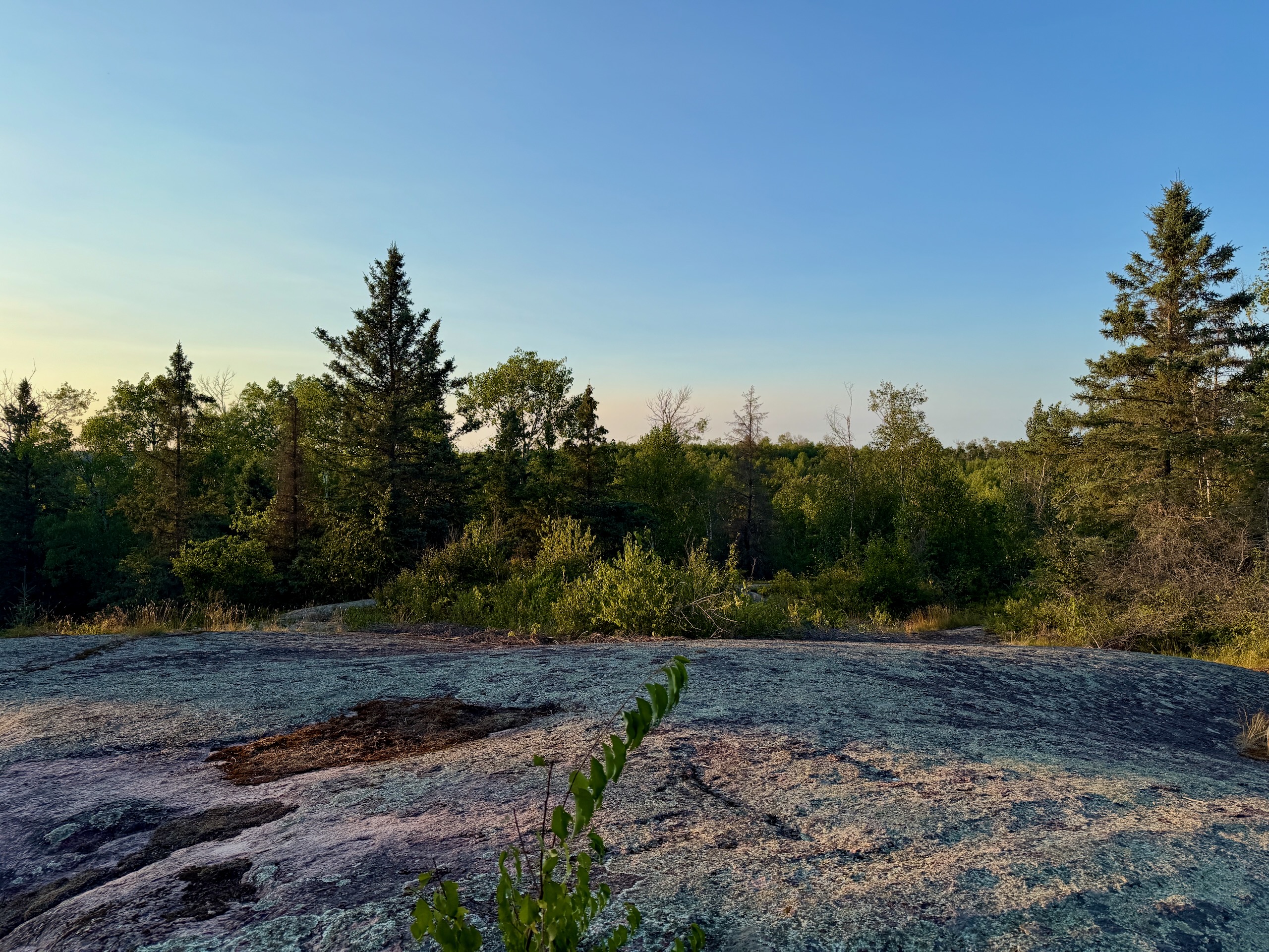
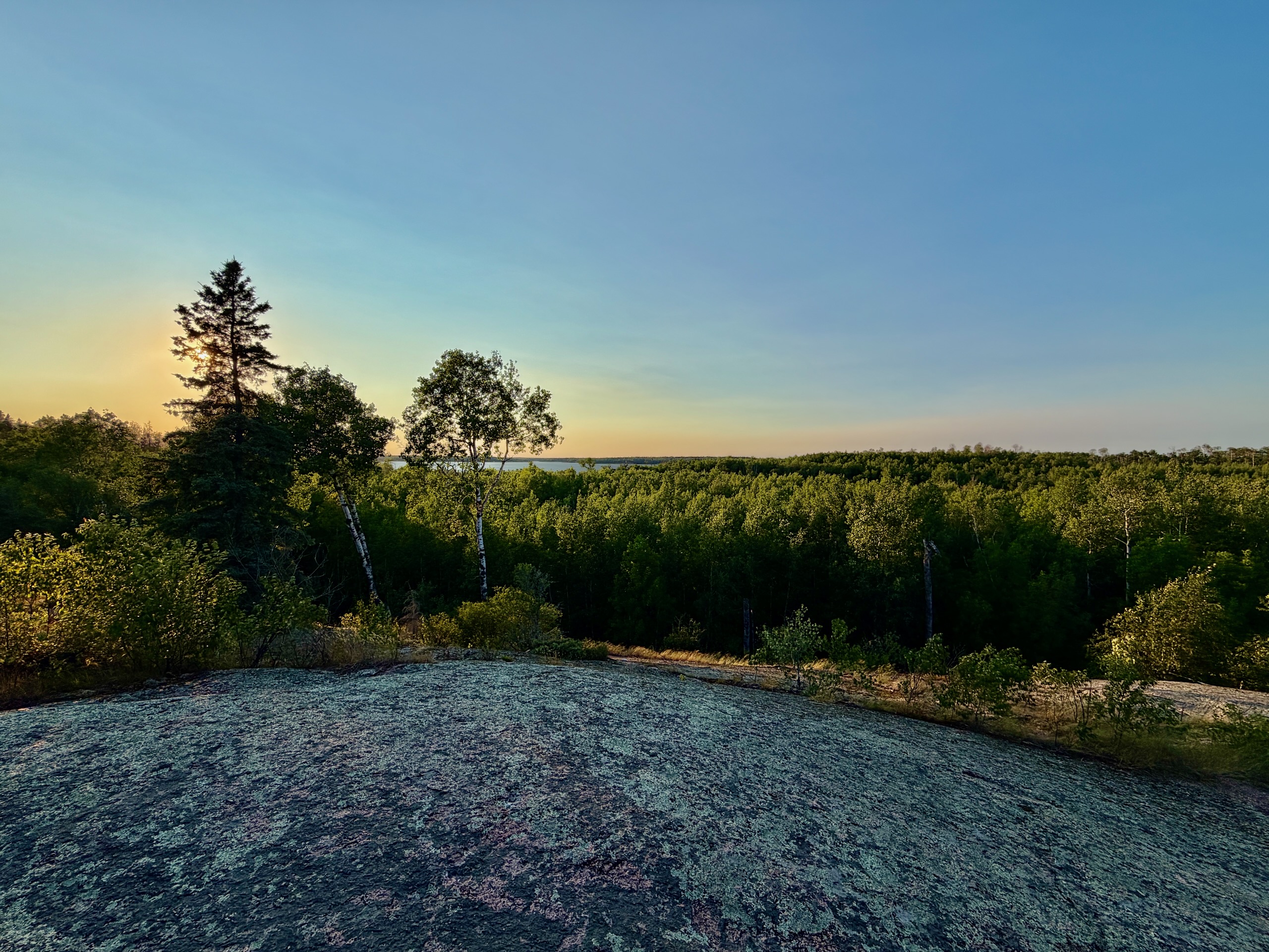
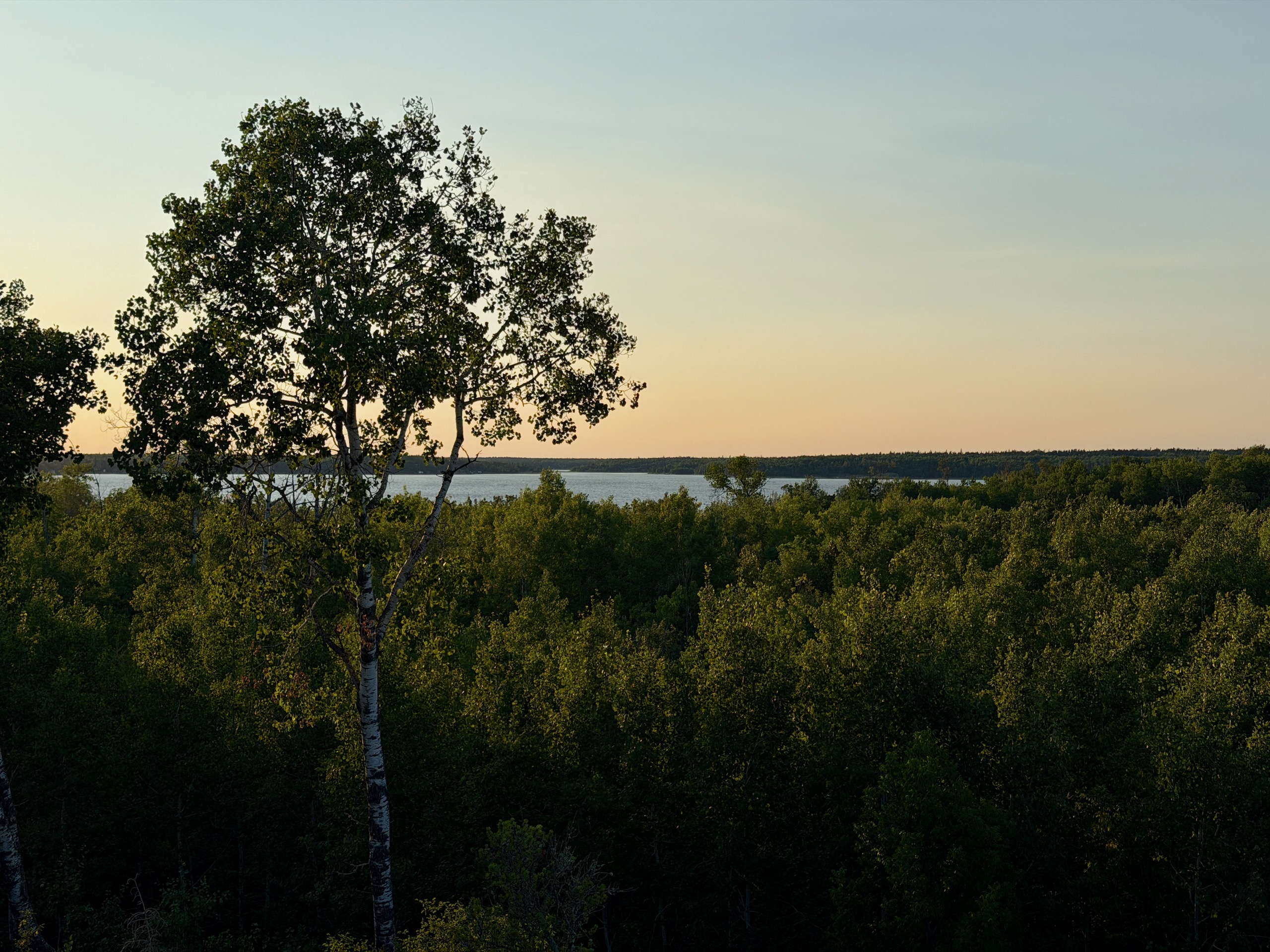
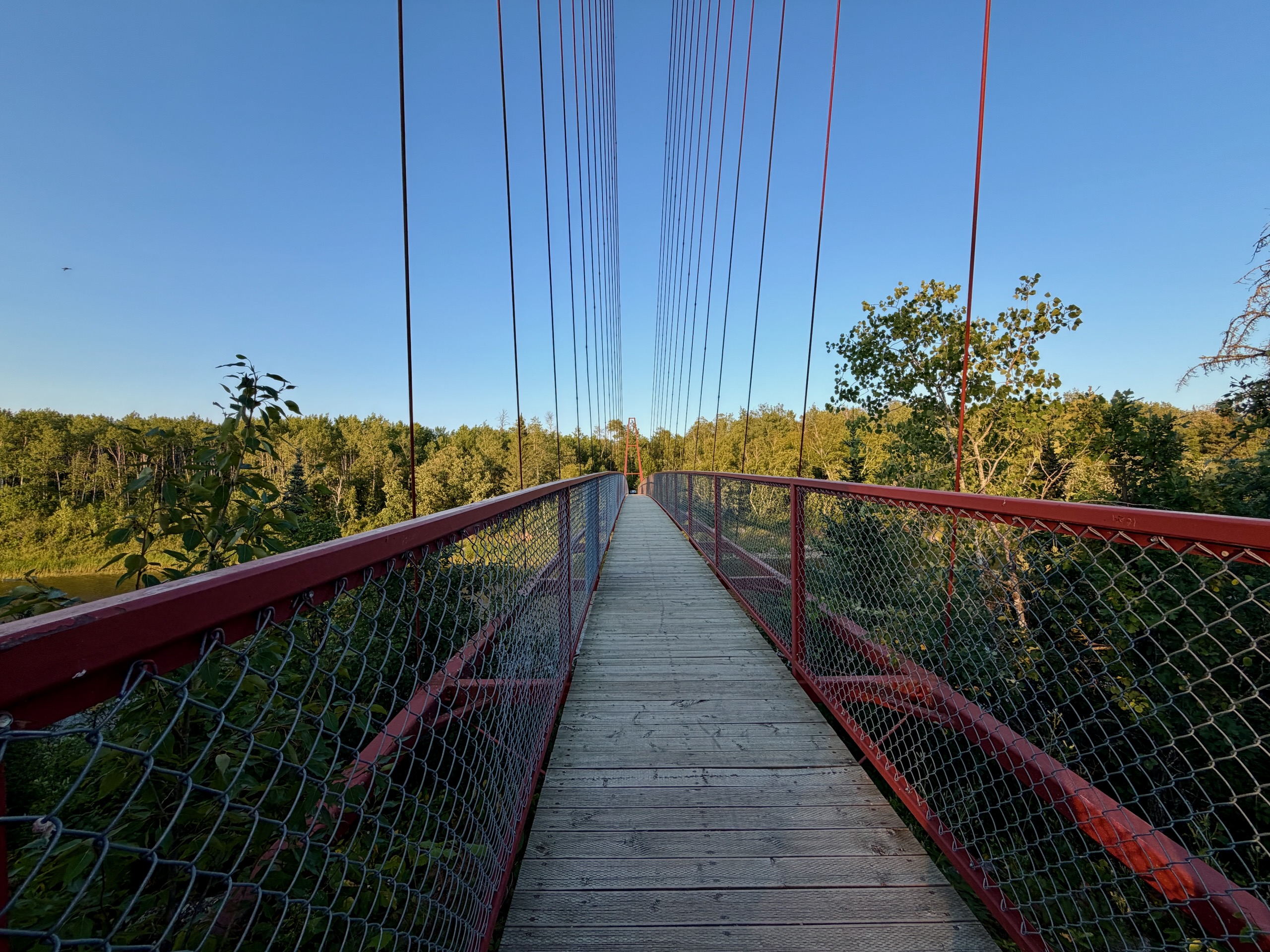
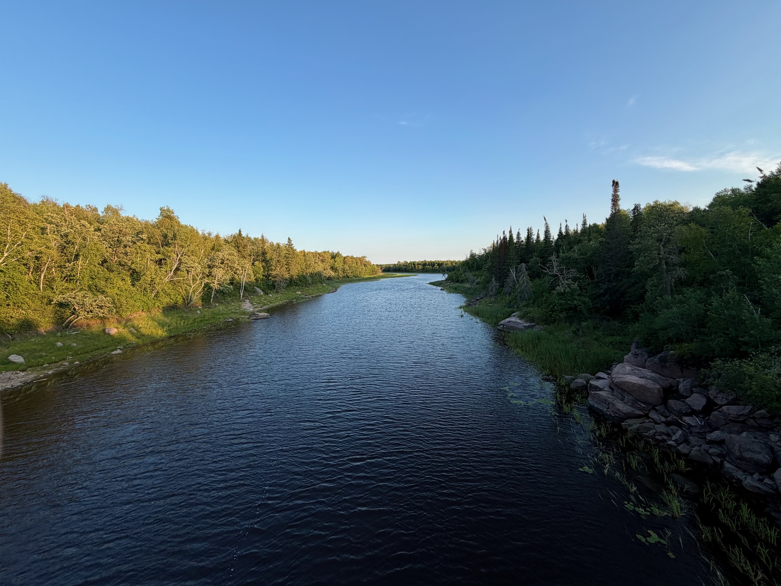
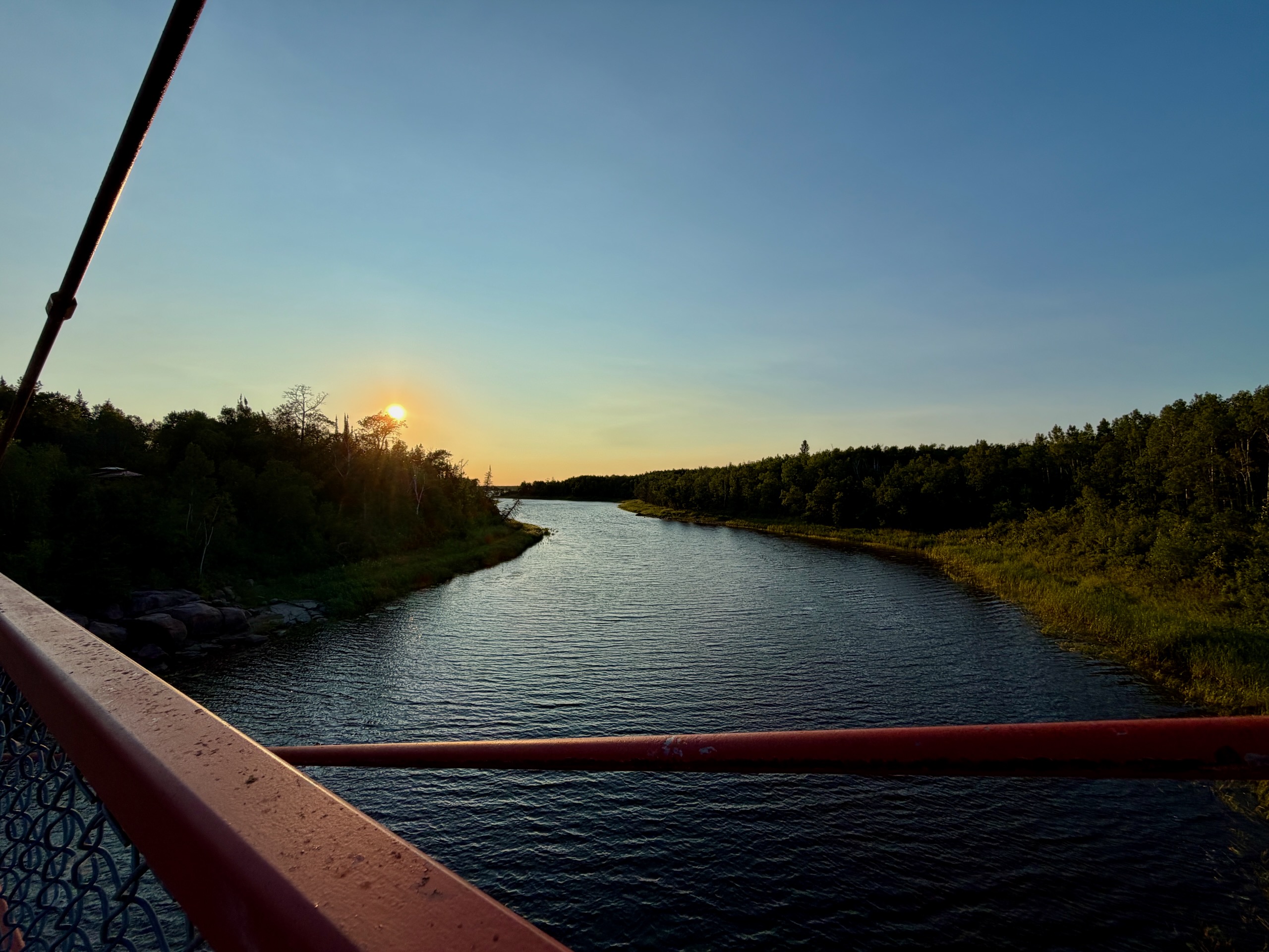
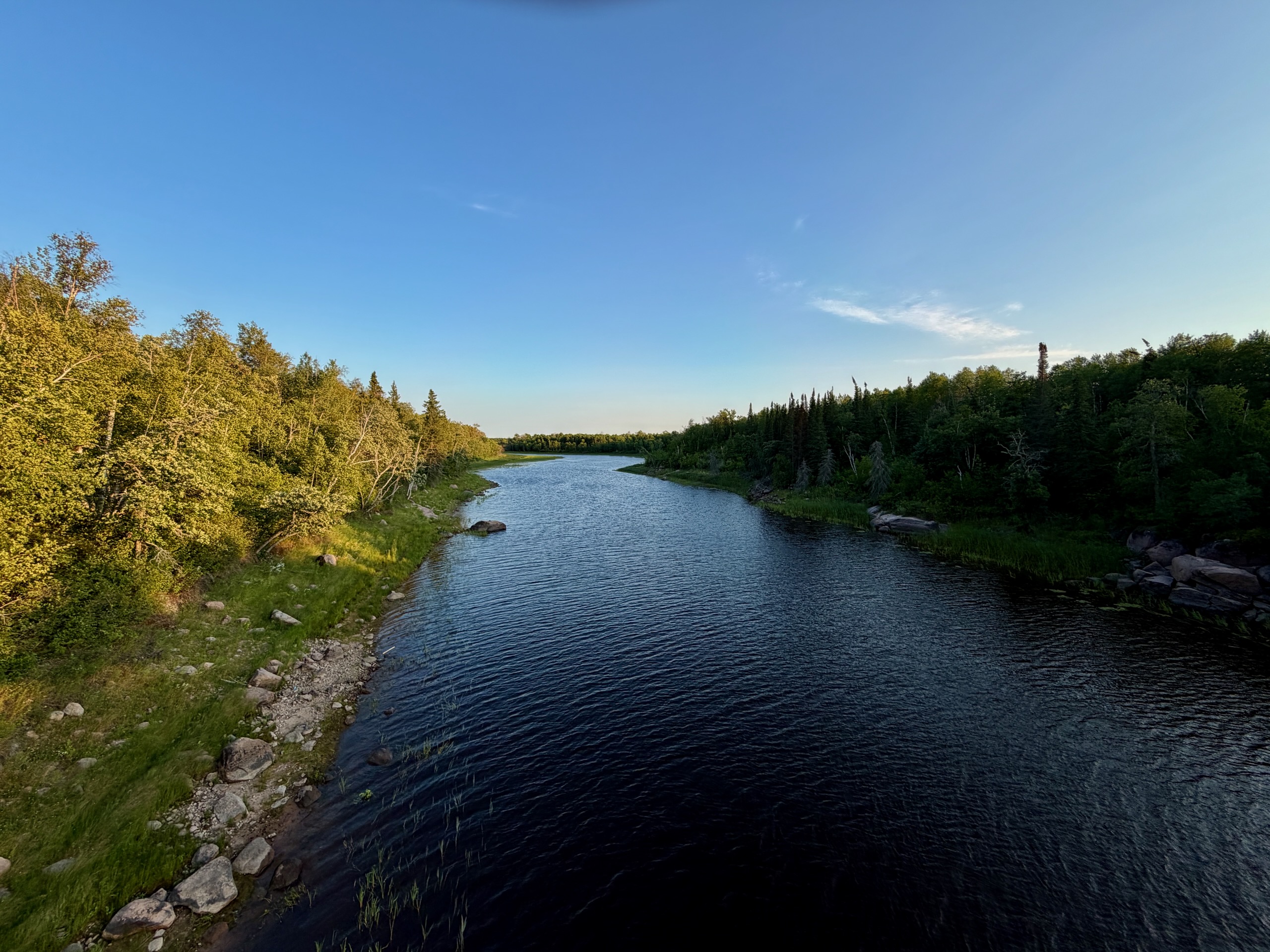
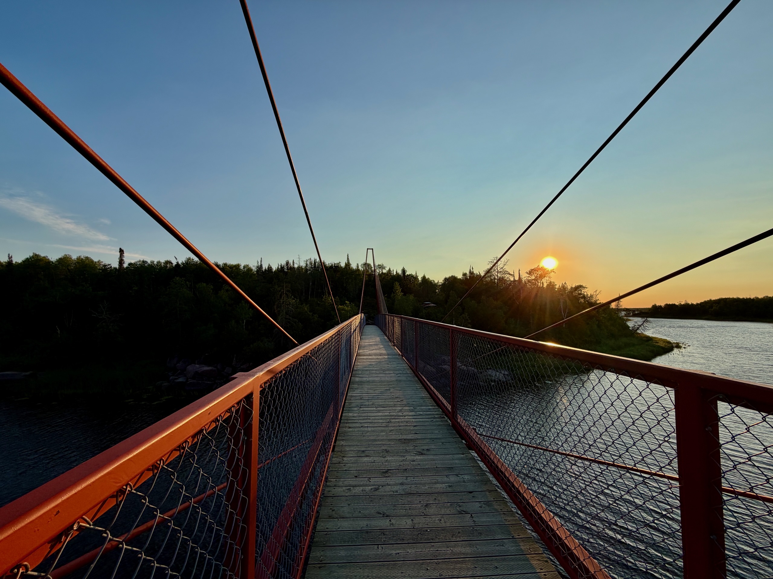
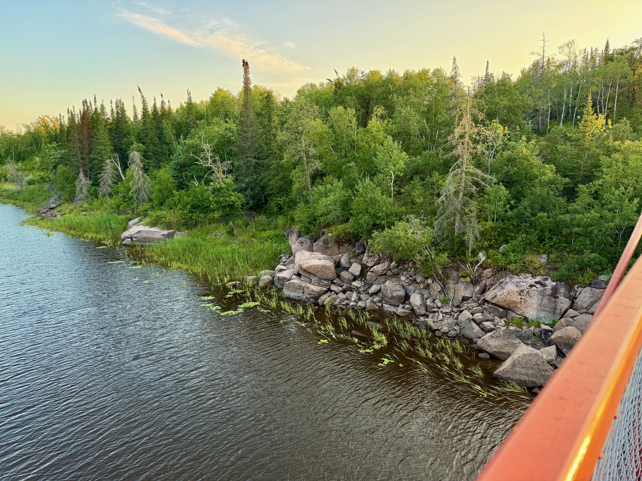
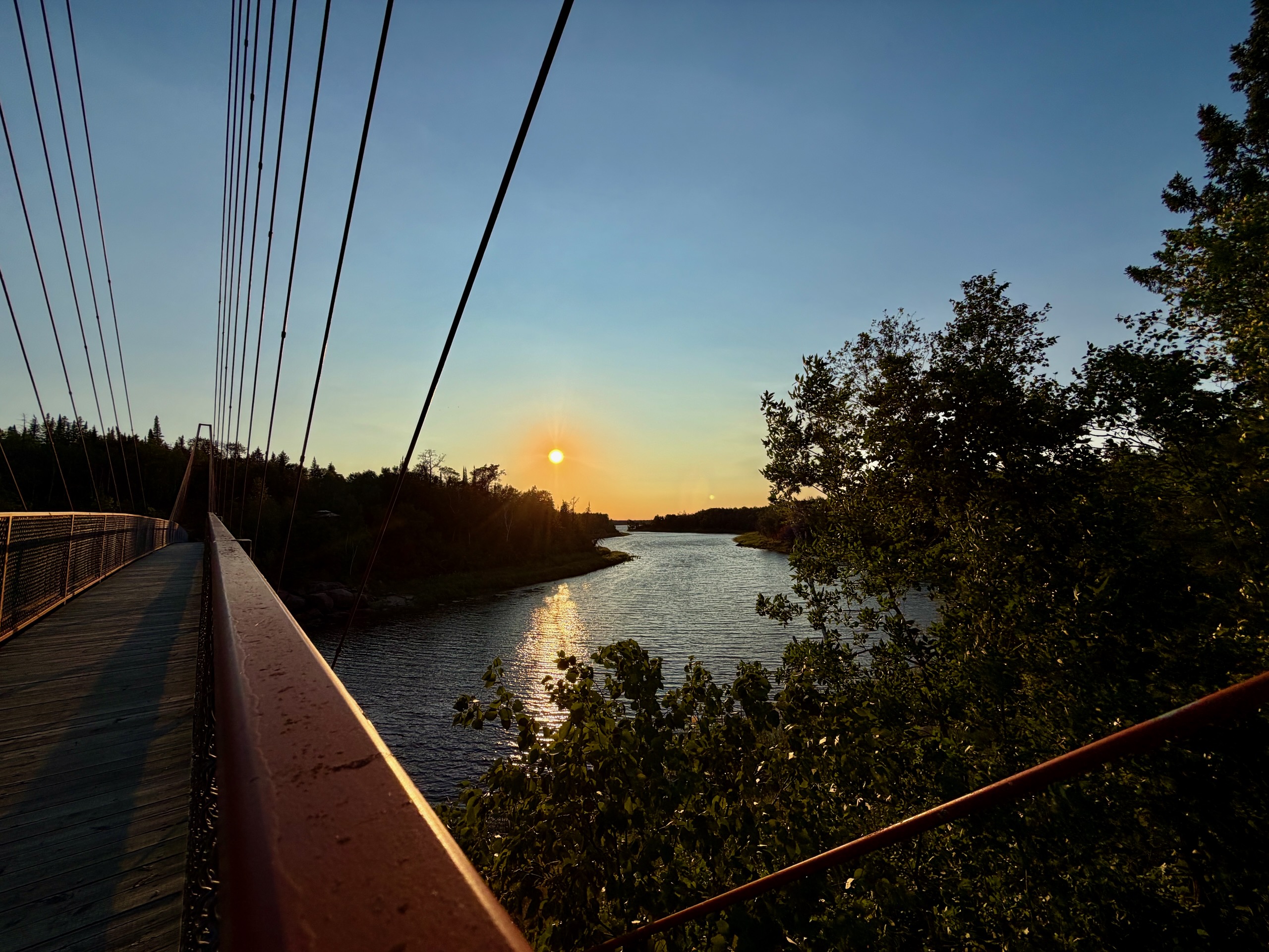
The road to the trailhead parking is gravel and fine in a normal car; posted limits drop to 20–30 km/h in places. From the parking area it’s about ten minutes on foot, one modest hill at the start and then level. The forest opens, and there it is: an 86-metre span, four metres above the water.
I didn’t expect to spend longer at the interpretive panels than on the bridge itself. But it was built by hand, by workers on cables above a freezing river, and knowing that changes how it feels to stand on the deck. The full story is in our Nutimik Lake guide.
Across the bridge the trail forks: 8.9 kilometres right along the Trans Canada Trail, and left towards Sturgeon Falls. The left branch was closed — barriers, signs, no ambiguity. I didn’t know why. I’d heard vaguely that something had happened somewhere, but had no idea it was here. The reason is a serious one and we’ve explained it in our Nutimik Lake guide. The bridge and the Trans Canada Trail section are open, and for an evening that’s more than enough.
Nine O’Clock: The Wind Drops
We got back to the site, ate, and sat.
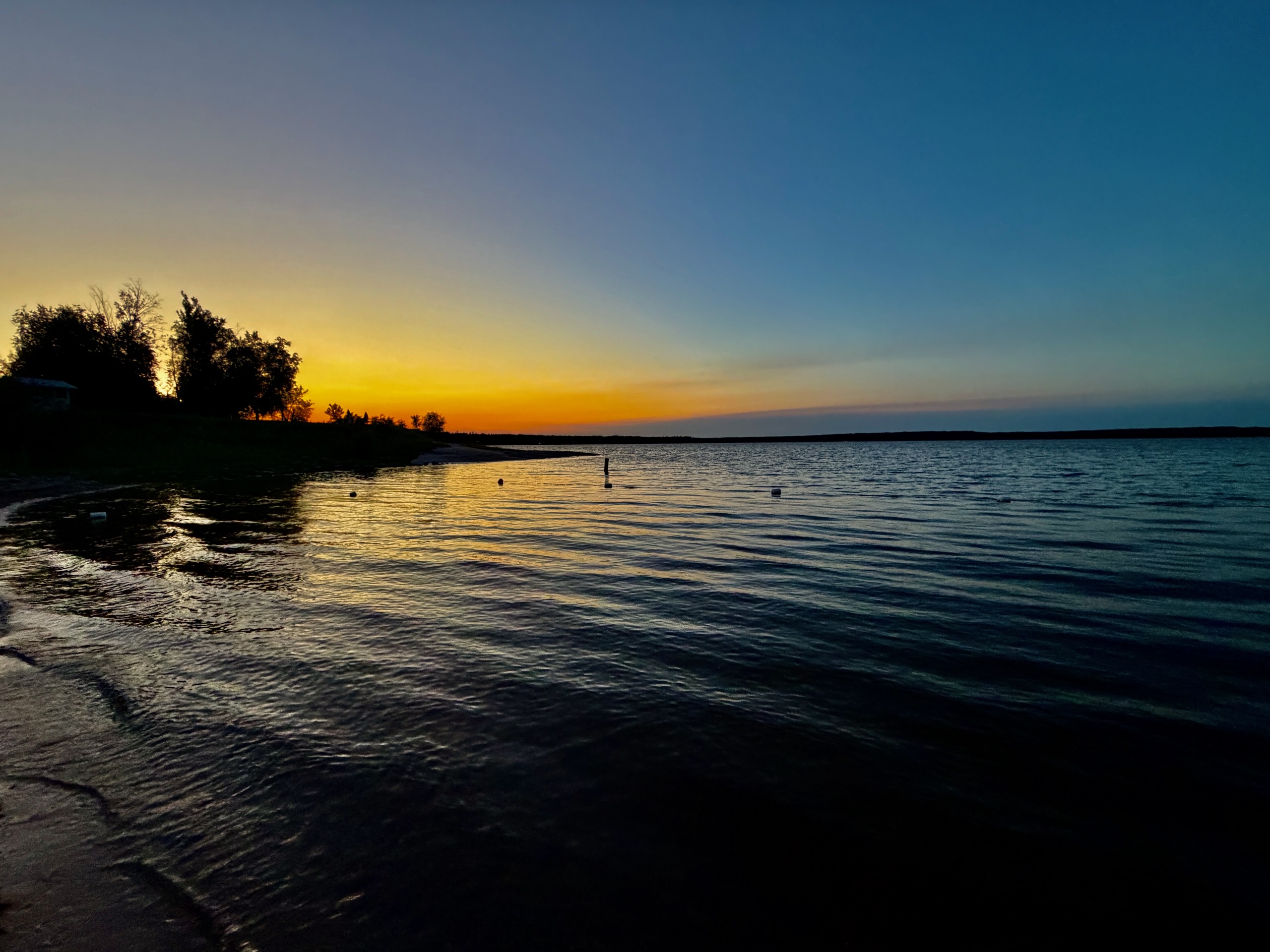
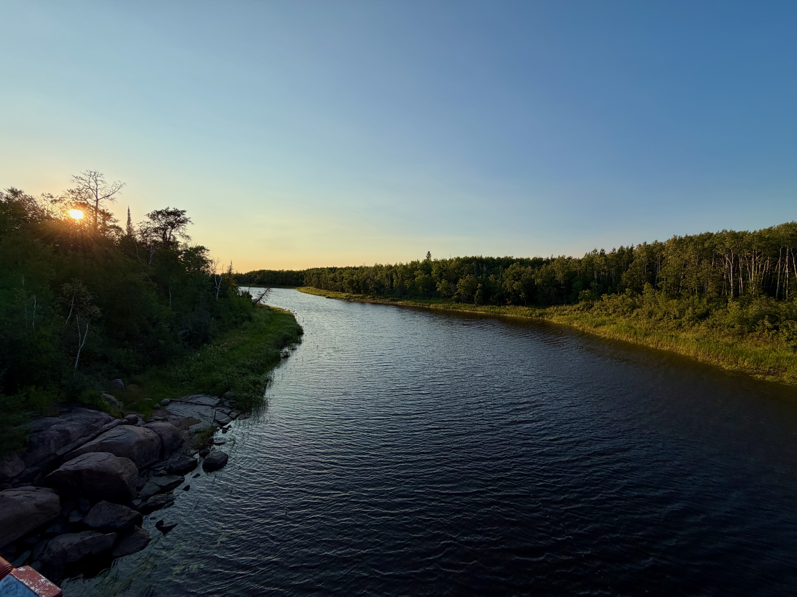
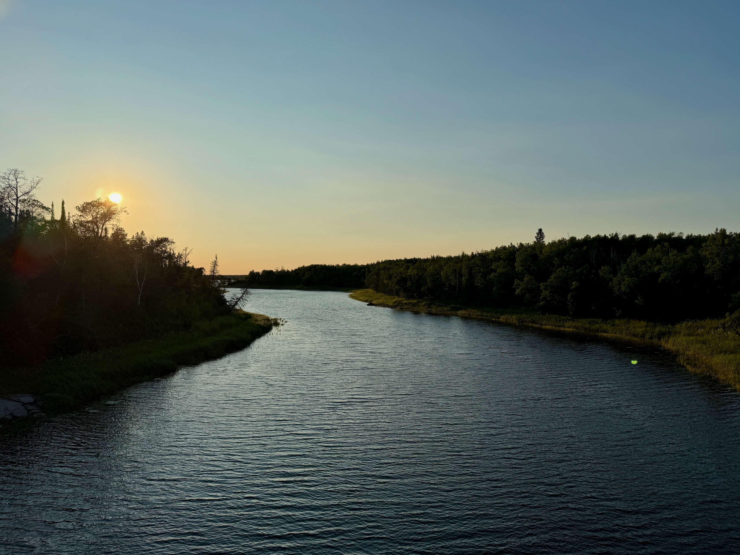
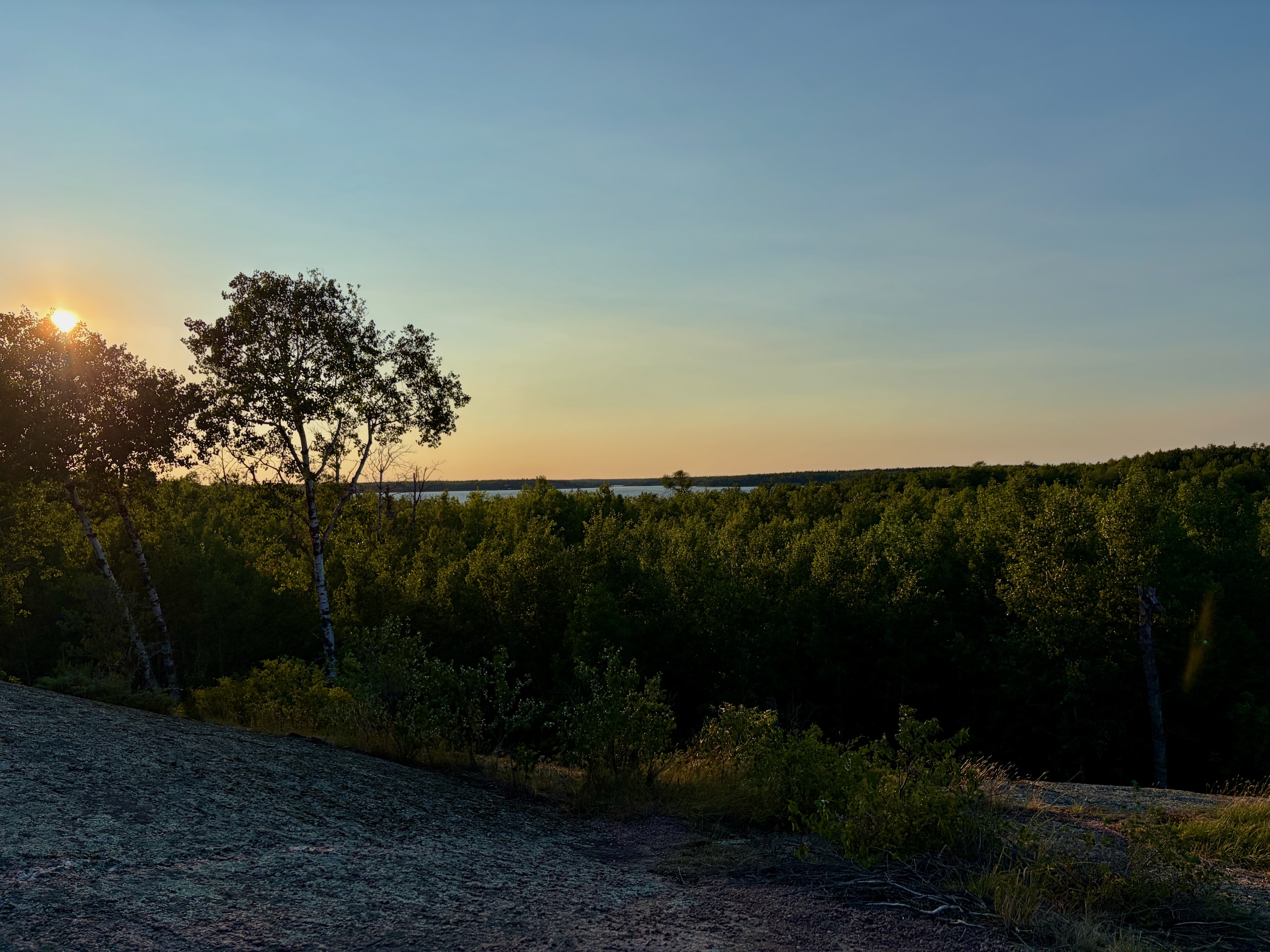
Around nine the wind died and the light started going, and the mosquitoes arrived. Within twenty minutes nobody was asking whether they needed repellent. If you’re staying out past sunset here in July or August, bring proper repellent and long sleeves.
Driving Home: Watch for Deer
We left late and were back in Winnipeg around midnight.
Three times on that drive we came to a near-complete stop for deer on or beside the road. Not one distant sighting — three genuine slow-to-a-crawl moments.
Drop your speed after dark, scan the ditch rather than the centre line, and if you see one deer assume there’s a second you haven’t spotted yet. This is the most likely thing to go wrong on this trip, and it’s entirely manageable if you’re expecting it.
Was It Worth Leaving Work For
Ten hours, door to door, on a weekday. We swam, crossed a bridge I’d wanted to see since we wrote about the one at Pinawa, got eaten alive, and drove home slowly behind deer.
What surprised me is how little planning it needed. Nutimik Lake from Winnipeg isn’t a weekend. It’s an afternoon decision.
The Practical Bit
Route. Winnipeg → PTH 44 east → north to Seven Sisters → PR 307 east into Whiteshell Provincial Park → Nutimik Lake. Paved throughout; the trailhead access road is gravel and fine for any car. All the stops are on the map above.
Distance and time. 131 km each way, an hour and forty of driving. Two and a half hours door to door with a grocery stop.
What it costs. Park vehicle permit (from $9.50 for a day). Fuel for roughly 262 km. Groceries bought in the city. The swim and the bridge are free.
What to bring. Printed park permit for the windshield; offline maps downloaded in advance; repellent and long sleeves for after nine; towel and swimsuit; food and water from the city; a headlamp; shoes with grip for the trail.
Know before you go.
- The Sturgeon Falls trail is closed; the bridge and the Trans Canada Trail are open
- Fire restrictions change through the season — Manitoba Parks fire and travel restrictions
- No dogs on the beach
- Buy firewood locally, not in the city
- Cell service is unreliable
- Deer on the road after dark
Where to read next. Nutimik Lake, Manitoba for the lake, beach, campgrounds and bridge in detail; Whiteshell Provincial Park for the park as a whole; our Pinawa day trip from Winnipeg for the obvious companion.
Last checked: August 2026. Everything here is from Friday, July 31, 2026 — the drive, the stops, the beach, the bridge, the closed trail branch, the mosquitoes and the deer. Distance and drive time are from our own odometer. We did not have a fire and did not bring our dog.
Sources checked: Manitoba Parks (park vehicle permit fees; fire and travel restrictions), and Manitoba Recreational Trails Association interpretive panels on site. Prices, restrictions and closures change without warning — confirm before you drive.