


A flooded quarry with impossibly blue water — and everything worth knowing before you go.
Reynolds Ponds is a cluster of brilliantly blue ponds in the RM of Reynolds in southeastern Manitoba. It’s an unofficial, word-of-mouth spot, so it helps to understand what it actually is before you drive out. How it went for us in person is in our story about the Reynolds Ponds trip; this is the reference guide.
What is Reynolds Ponds?
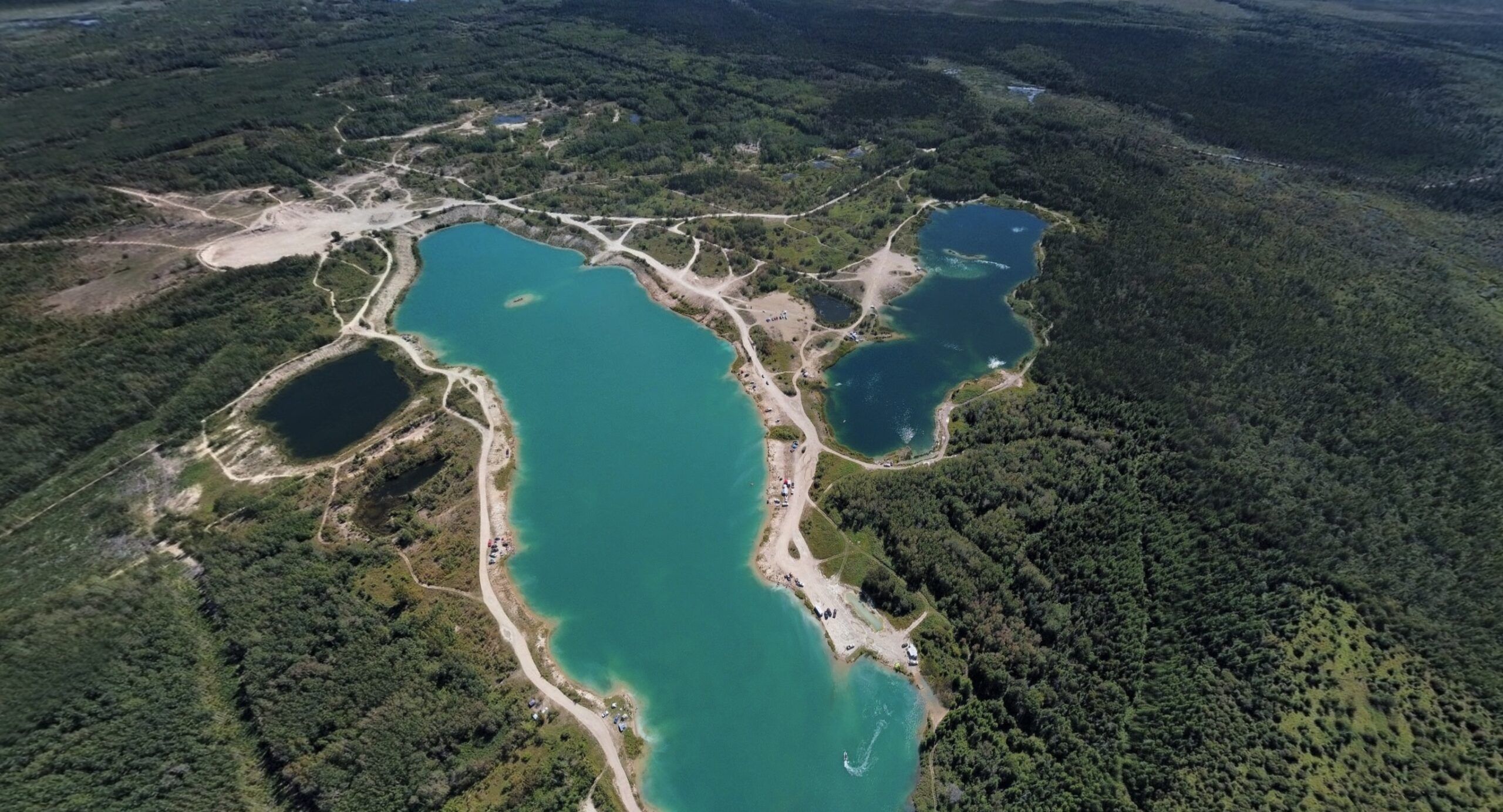
These aren’t natural lakes — it’s a flooded quarry, dug out by the company Supercrete under a quarry lease. The workings later filled with water, leaving a cluster of deep ponds that locals sometimes call the “Lafarge Pit.” Today it’s effectively Crown land managed by Manitoba Conservation. The ponds are numbered and carry bird names (Robin, Bluejay, Whiskeyjack and so on), and Manitoba stocks them — you’ll find rainbow and brook trout, rock bass and largemouth bass, which makes it a popular fishing spot. The origin and the fishery are detailed in Manitoba’s Reynolds Ponds fisheries report, and we’ve put together the fuller backstory in a separate piece on how the Reynolds Ponds quarry became a blue lake.
Why is the water so blue?
Because it’s a deep, clear, spring-fed quarry. Flooded quarries tend to hold very clear, deep water, and it’s that column of clean water that produces the intense blue-turquoise you never get from an ordinary shallow pond. A side effect of the same depth is that the water stays cool even in a heatwave.
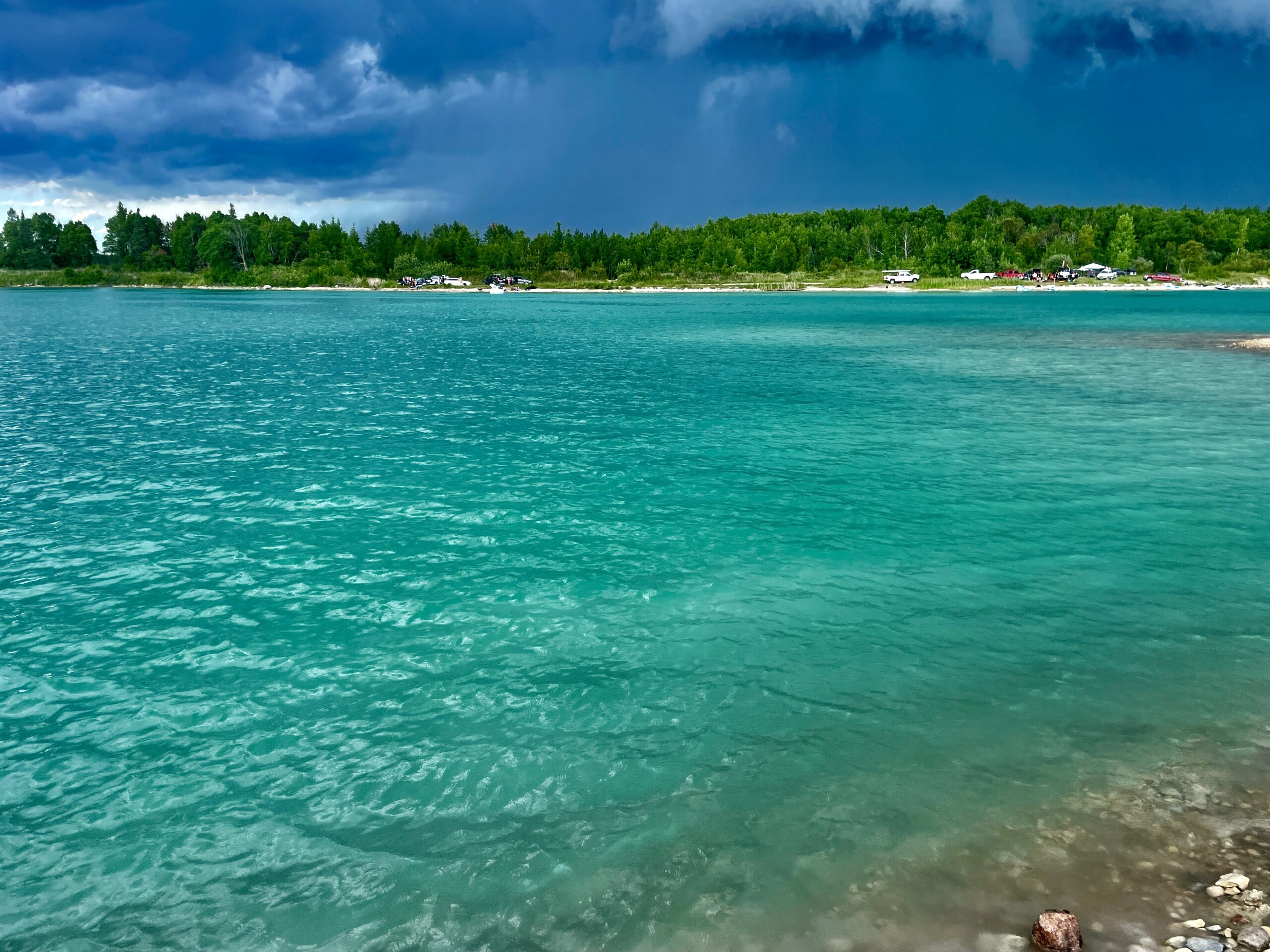
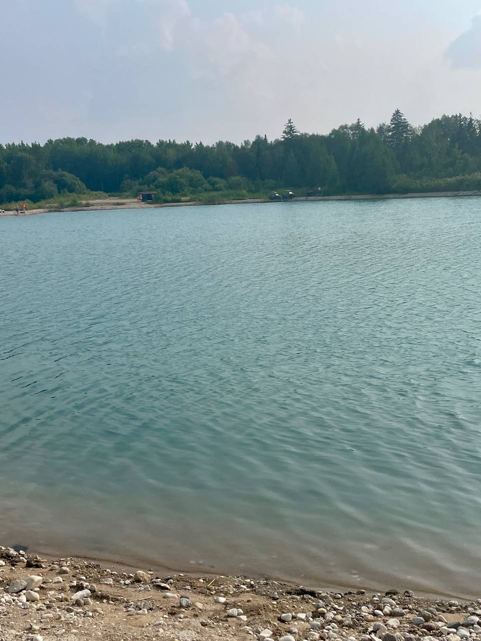
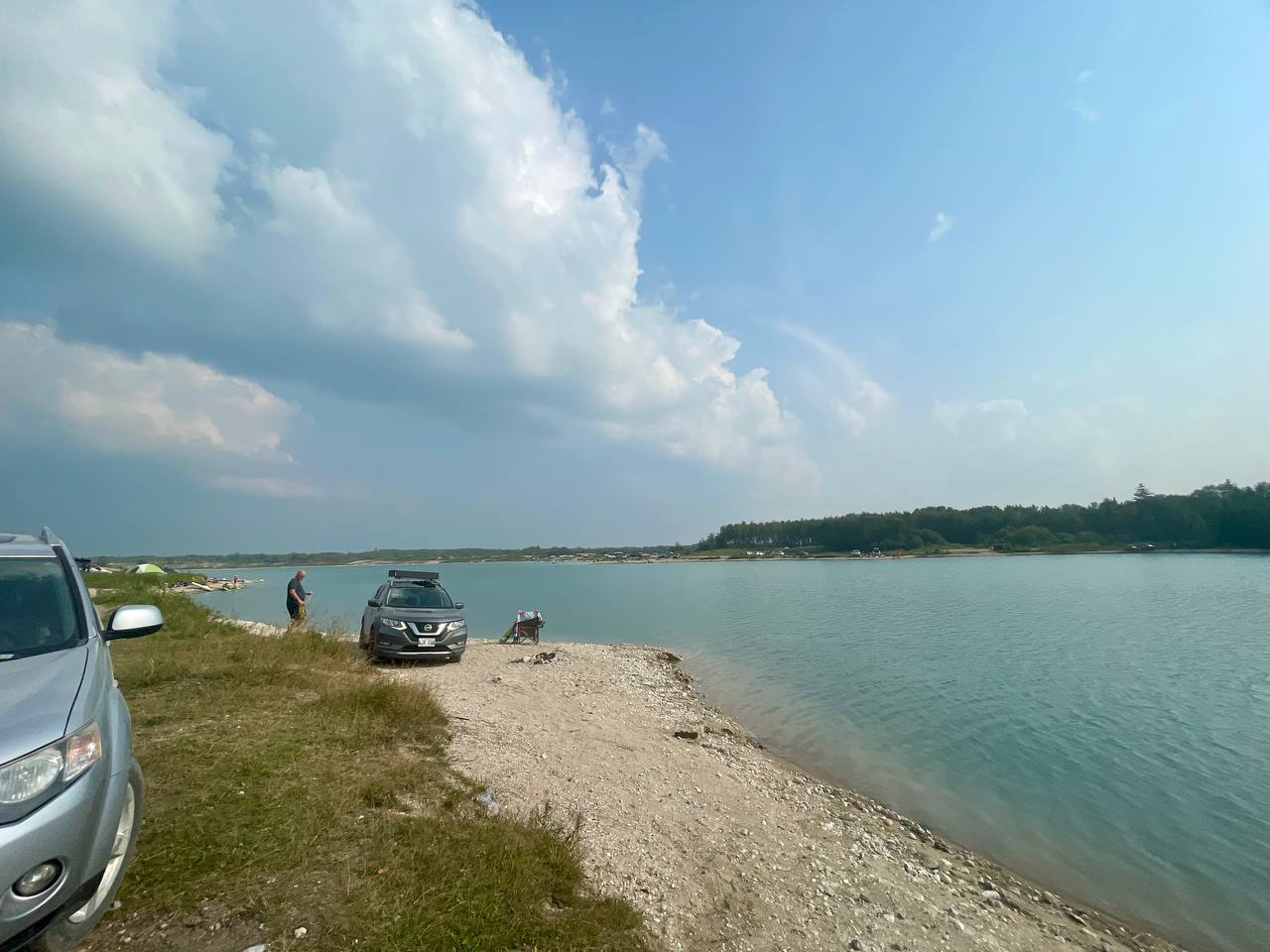
Where is it and how do you get there?
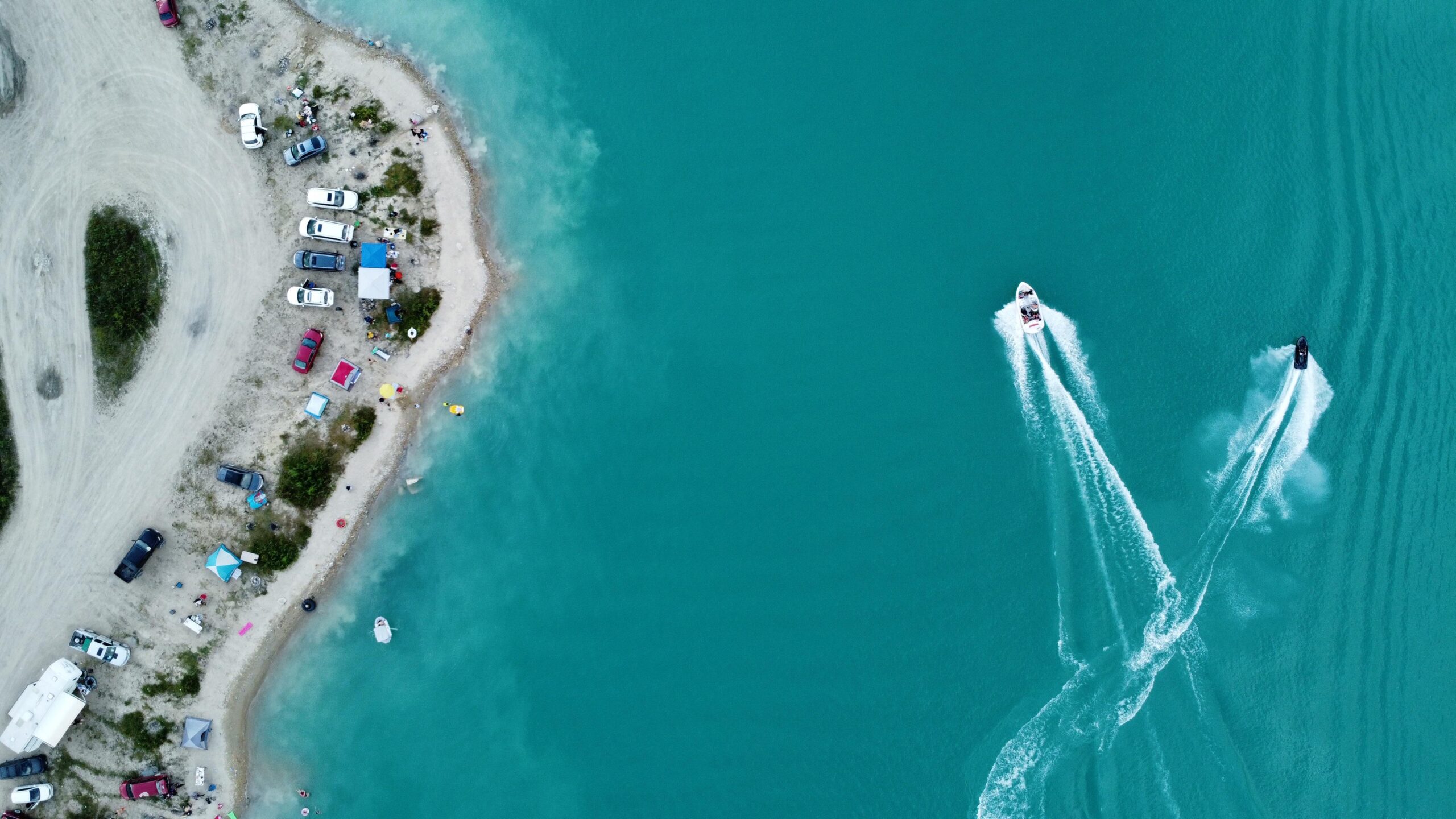
The ponds are in the RM of Reynolds, roughly 77–80 km (about an hour) from Winnipeg; access is via Fire Road #13 off the Trans-Canada Highway (approach from the north is no longer possible). The coordinates are 49.712910, -96.258628. There’s a Centre of Canada monument on the highway along the way, which makes an easy quick stop. The final stretch is rough, washboarded gravel, so budget more time than the map suggests. Note too that cell signal is weak out there, and the web of informal tracks is easy to get lost in, so plan your route before you go. For orientation on site: as you reach the water, the left is the easier road with the boat and Sea-Doo launches, and the right is the steep, difficult approach.
What vehicle do you need?
The left bank is fine with careful driving, but the descent to the right bank calls for all-wheel drive, clearance and good tires. The road down to the right (quieter) bank is steep, with washouts and deep cracks; the climb back up is harder than the way down. After rain, skip that approach entirely. Yes, some people make it in a sedan, but it’s a gamble — easy to damage a bumper or an oil pan.
Is it safe to swim there?
You can swim, but at your own risk: there’s no official beach or lifeguards, and the water is deep and cold. This is a quarry with steep edges — just a few metres from shore the depth can already be several metres, and in places far more (anglers have recorded spots around 30 m deep). The water stays cold even in summer because of the depth and springs, so watch children closely, don’t swim far out alone, and don’t jump into water where you can’t see the bottom.
What can you do there?
Fishing, swimming at your own risk, launching your own watercraft, walking and birdwatching. The ponds are stocked, so anglers are plentiful — you’ll need a valid Manitoba fishing licence. Sea-Doos and motorized craft launch on the left bank, where there’s room for it. The shorelines and surrounding bush are good for a wander; with pond names like these, it’s no surprise there are plenty of birds about.
How crowded is it — and how should you behave?
On warm weekends it can be very busy, and the place’s biggest problem is litter and loud overnight parties. Both anglers and visitors report it, and you’ll even come across abandoned or burnt-out vehicles. So the basic ask is simple: take everything out with you (pack in, pack out), leave no trash, and respect the people around you. And bring repellent — the mosquitoes come out in the evening.
When is the best time to go?
A warm, dry day, and ideally a weekday morning if you want fewer people. Weekends are the loudest, and the road gets tougher and more dangerous after rain. Early in the day is your best shot at relative calm and a free spot on the bank.
| Detail | Info |
|---|---|
| What it is | Flooded quarry (Supercrete / “Lafarge Pit”), cluster of ponds |
| Location | RM of Reynolds, MB — 49.712910, -96.258628 |
| Access | Fire Road #13 off the Trans-Canada; no northern approach |
| Road / vehicle | Gravel; right bank needs AWD + clearance + tires; not after rain |
| Water | Deep (up to ~30 m), cold, steep edges; no beach or supervision |
| Activities | Fishing (licence), swim at own risk, watercraft (left bank), walking |
| Etiquette | Pack in, pack out; bring bug repellent |
| Season | Summer |
Read next: our day at Reynolds Ponds, and nearby, Seven Sisters and Whitemouth Falls and the Pinawa bridge and channel.