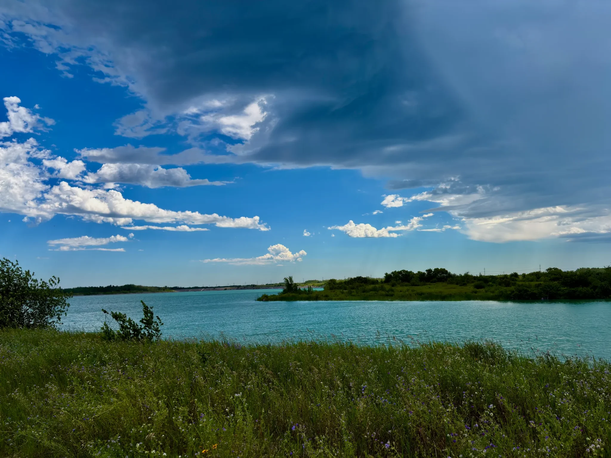
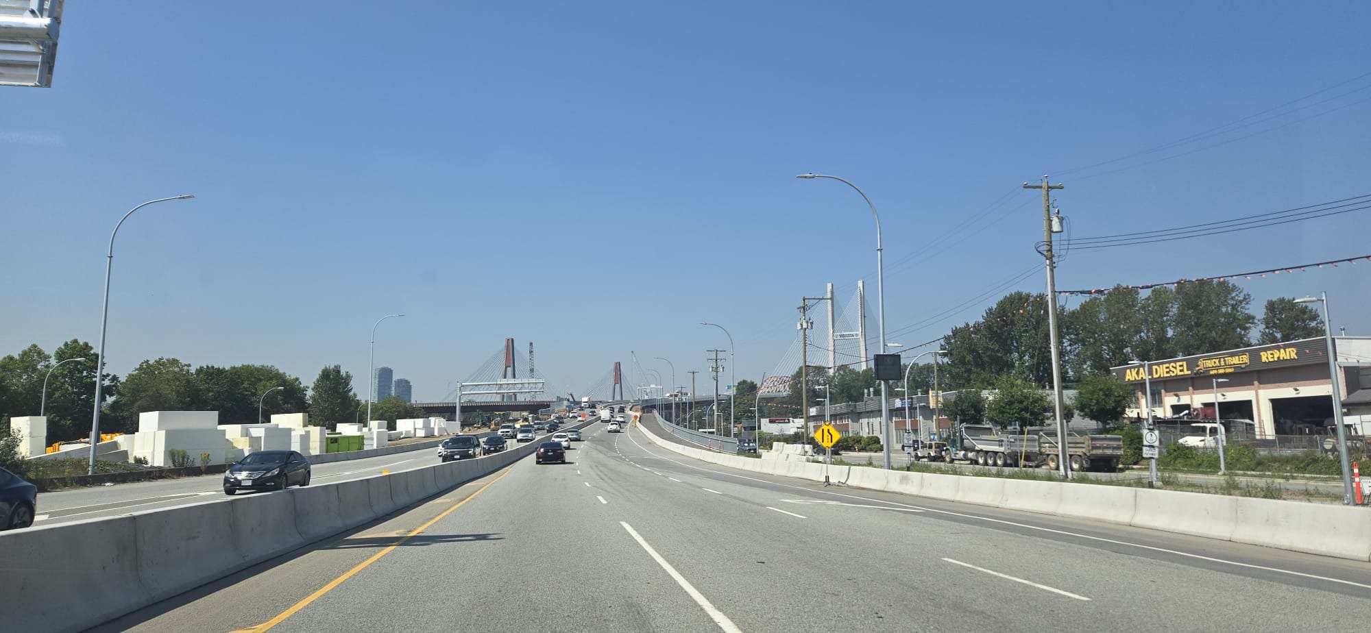
869 kilometres, one driver, twelve hours door to door. We left in fog at six in the morning and reached Vancouver at five in the afternoon — and it turned out to be a drive we genuinely enjoyed.
This was the second day of our trip to British Columbia. The day before, August 8, we’d driven all the way from Winnipeg to Canmore — that stretch is covered in our Winnipeg to Banff road trip — and slept in Canmore simply to rest before carrying on.
On August 9, 2026 we had one goal: reach Vancouver. A friend was waiting for us there — someone I hadn’t seen in eight years — so this wasn’t a day for wandering. We drove it almost straight through.
The Route: Trans-Canada to Kamloops, Then the Coquihalla
The route is simple to describe. The Trans-Canada Highway (Highway 1) west from Canmore, past Banff and Lake Louise, over Kicking Horse Pass into BC, through Golden, over Rogers Pass to Revelstoke, and on through Salmon Arm to Kamloops. At Kamloops we turned south onto the Coquihalla (Highway 5) through Merritt to Hope, and from Hope rejoined Highway 1 into Vancouver.
It’s worth knowing that the Coquihalla isn’t part of the Trans-Canada — it’s the faster alternative to Highway 1’s own route through the Fraser Canyon. It’s four lanes the whole way, and it crosses a genuine mountain pass: the Coquihalla Summit sits at 1,244 metres.
Two more heights worth knowing on this route: Kicking Horse Pass on the Alberta–BC border is the highest point on the entire Trans-Canada, at 1,643 metres, and Rogers Pass in Glacier National Park is about 1,330 metres, with a run of snow sheds protecting the road from avalanches.
How Long It Really Takes, and the Time Zone Trick
We left Canmore at about 6 a.m. and arrived in Vancouver at about 5 p.m. On paper that’s eleven hours. It was actually twelve.
The reason is the time zone. Canmore runs on Mountain Time, and so does the BC side of the Rockies, Golden included. The switch to Pacific Time comes on the eastern slope of Rogers Pass, at the boundary of Glacier National Park. Somewhere in there, your clock goes back an hour.
Mapping services put the pure driving time at around nine and a half hours for roughly 869 km. Everything on top of that was stops and slower stretches. If you need to arrive for something at a set time, as we did, work in Pacific Time from the start.
Canmore to Golden: Fog, Then Sun
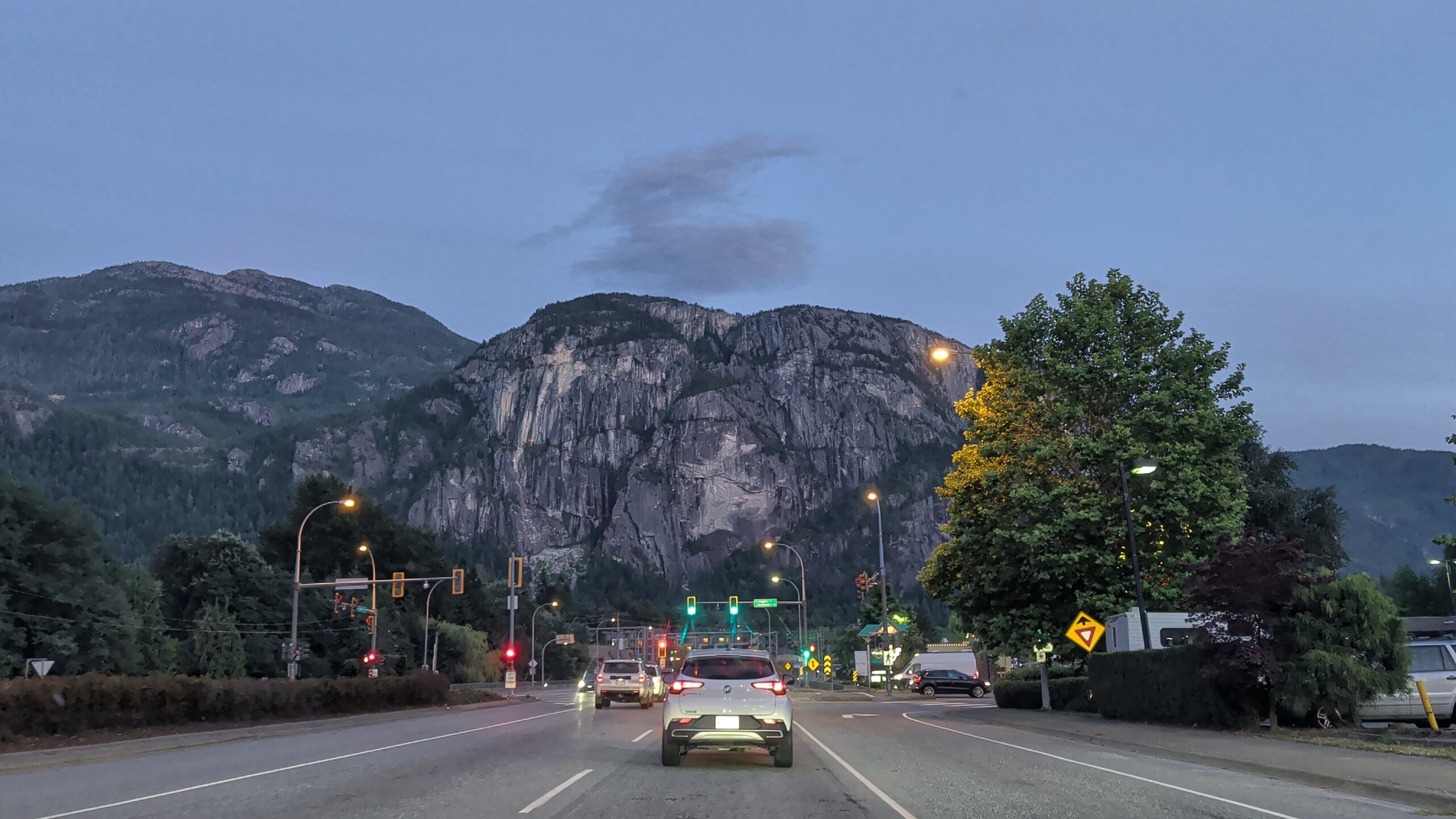
The morning began in fog. Leaving Canmore that early, the mountains were barely there — just shapes in grey.
Then it burned off, and the rest of the day was sun.

Why We Stopped in Golden
Golden was the logical first stop, and not by accident.
Leave Canmore at six in the morning and Golden is right where the first coffee and breakfast belong. It’s the first larger town with full services after Lake Louise — in the valley between the Rockies and the Selkirk Mountains, on the Columbia River.
What matters most is what comes next: a 147-kilometre mountain stretch over Rogers Pass to Revelstoke. So Golden is the place to fill the tank, get a coffee and stretch before the road climbs again. One more small thing: it’s the last stop on Mountain Time — past Rogers Pass the clock goes back an hour.
We got coffee, had something to eat and carried on. The rest of the day’s stops were the usual long-drive ones — coffee, food, fuel and a few minutes out of the car.
A Stop on the Coquihalla
We stopped on the Coquihalla too, and it’s a stretch worth breaking up rather than rushing through.
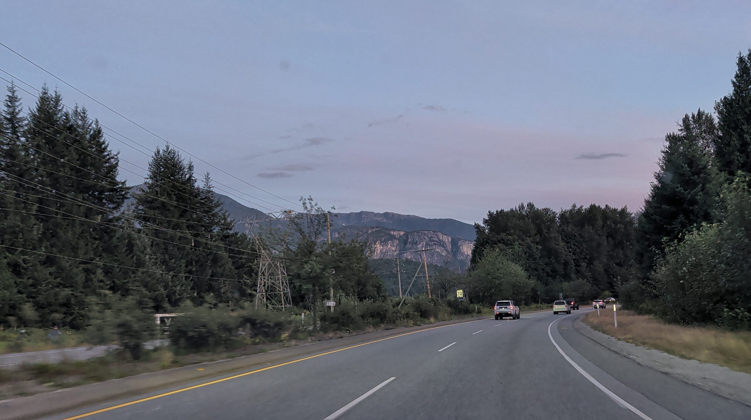
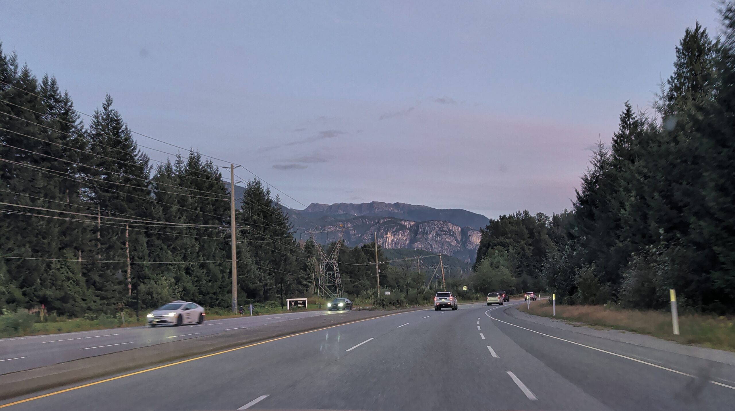
If you’re planning a stop here, the most convenient one is Zopkios Rest Area (exit 217), near the summit. There’s a large car park and washrooms, and in summer, especially at weekends, there’s sometimes a food truck selling drinks and snacks. And there’s the view: right above the highway stands Yak Peak, a huge granite wall visible from a long stretch of road, with the other peaks of the Zopkios Ridge beside it.
The land around it is the Coquihalla Summit Recreation Area, set up precisely so travellers on this highway have somewhere to stop and rest. Heading toward Vancouver, it’s the last big mountain break before the descent to Hope.
Food for a Long Drive: Homemade Jerky and Gas-Station Hot Dogs
Before the trip I bought a dehydrator and made our own jerky, and it rode in the car with us. On a twelve-hour day that’s the food that works: no crumbs, no need to stop, and you know exactly what’s in it.
The rest came from gas stations: coffee at the pumps and a gas-station hot dog. Nothing special, but on a road like this nobody stops for the food.
How Much the Fuel Cost
For this leg, Canmore to Vancouver, we spent roughly CAD $80 on fuel. It will vary with your car and that week’s price at the pump, but it gives you the order of magnitude.
One Driver the Whole Way
I drove every kilometre. Anna has a licence, but she isn’t comfortable driving on new, unfamiliar roads — and mountain passes you’re seeing for the first time are exactly that.
If your car also has one driver, plan for it: twelve hours at the wheel is a lot, and regular short breaks on this route aren’t a luxury.
Driving with a Dog
Nika generally handles long drives well, with one quirk: she doesn’t like it when the car goes slower than about 70 km/h. The moment we slowed down, braked or stopped at a light, she started whining. At normal highway speed — no problem at all.
In practice that meant the long open stretches were easy, and towns and slow sections were where we heard about it.
One thing pleasantly surprised us: at some gas stations there were water bowls out for dogs. A small thing, but on a long day with a dog it matters.
Overall, we had no problems with her on this drive.
What We Remember
The mountains, the forest, the road, the music, and the fact that we were together. That’s it, and it’s enough.
It was beautiful the whole way, and there were many places we wanted to stop — and didn’t.
Road Trip or Straight Through?
It depends on why you’re going.
If you’re driving this route as a road trip, stop often. The road is beautiful almost the whole way, and rushing it wastes it.
If your goal is the same as ours was — simply to get to Vancouver — you can drive it straight through. And even then, the drive itself is a pleasure.
Where You Could Stop Along the Way
We didn’t stop at any of these on this drive — this is a reference list of what sits on the route, for anyone treating it as a road trip. A few of them we’ve written about from earlier trips.
- Lake Louise — just off Highway 1: Lake Louise
- Emerald Lake — near Field, in Yoho National Park, a short detour from Highway 1: Emerald Lake
- Kicking Horse Pass — the highest point on the Trans-Canada, on the Alberta–BC border
- Rogers Pass — the Parks Canada centre at the summit, with exhibits on the railway, the highway and avalanche control
- Revelstoke, Salmon Arm, Kamloops — the larger towns on the way, with full services
- Merritt — the main stop on the Coquihalla
- Hope — where the Coquihalla meets Highway 1 again before the final run into Vancouver
Stopping in the national parks on this route — Banff, Yoho, Glacier — normally requires a Parks Canada pass. Our drive fell inside the Canada Strong Pass 2026 period, when admission was free until September 7, 2026.
Route, Costs and What to Bring
Route. Canmore → Banff → Lake Louise → Golden → Merritt → Vancouver. All the points are on the map above.
Distance and time. About 869 km. Roughly nine and a half hours of pure driving; twelve hours door to door for us, including the one-hour time zone change.
What it cost. About CAD $80 in fuel for this leg. Food: homemade jerky, plus gas-station coffee and a hot dog.
What to bring. Snacks that don’t need a stop, water for you and the dog, music, and patience for the slow sections if your dog shares Nika’s views on speed.
Know before you go.
- The time changes on the eastern slope of Rogers Pass — plan your arrival in Pacific Time.
- The Coquihalla is a real mountain pass, with its summit at 1,244 m. We drove it in August; in winter it needs serious preparation — check DriveBC before you go.
- The morning may start in fog, as ours did.
- One driver — build in breaks.
Where to read next. Our Winnipeg to Banff road trip for the drive to the mountains; Lake Louise and Emerald Lake on this same route; and on the way home we stopped at the Royal Tyrrell Museum in Drumheller.
Last checked: September 2026. The date, route, departure and arrival times, the fog and then sun, the stops in Golden and on the Coquihalla, the food, the fuel cost, the single driver and Nika’s behaviour are all firsthand from August 9, 2026. We don’t remember every stop and haven’t listed any we can’t confirm. We did not visit the places in “Where You Could Stop Along the Way” on this drive.
Sources checked: distance and driving-time estimates from mapping services; BC Highway 5 (Coquihalla) data; Trans-Canada route information on Kicking Horse Pass, Rogers Pass and the time zone boundary; the Coquihalla Summit Recreation Area; the Canada Strong Pass. Road conditions change — check DriveBC before you travel.