


Picture emerald water, limestone cliffs dropping straight into the lake, and a silence broken only by the cry of a loon.
This isn’t Sicily or Croatia — it’s Steep Rock, a tiny village on the east shore of Lake Manitoba, about three hours’ drive northwest of Winnipeg. And quite possibly the best-kept secret in the whole province. How we got here and what the drive was like is in our Steep Rock day-trip post; here we’ll gather everything worth knowing about the place itself.
Why it’s worth the drive
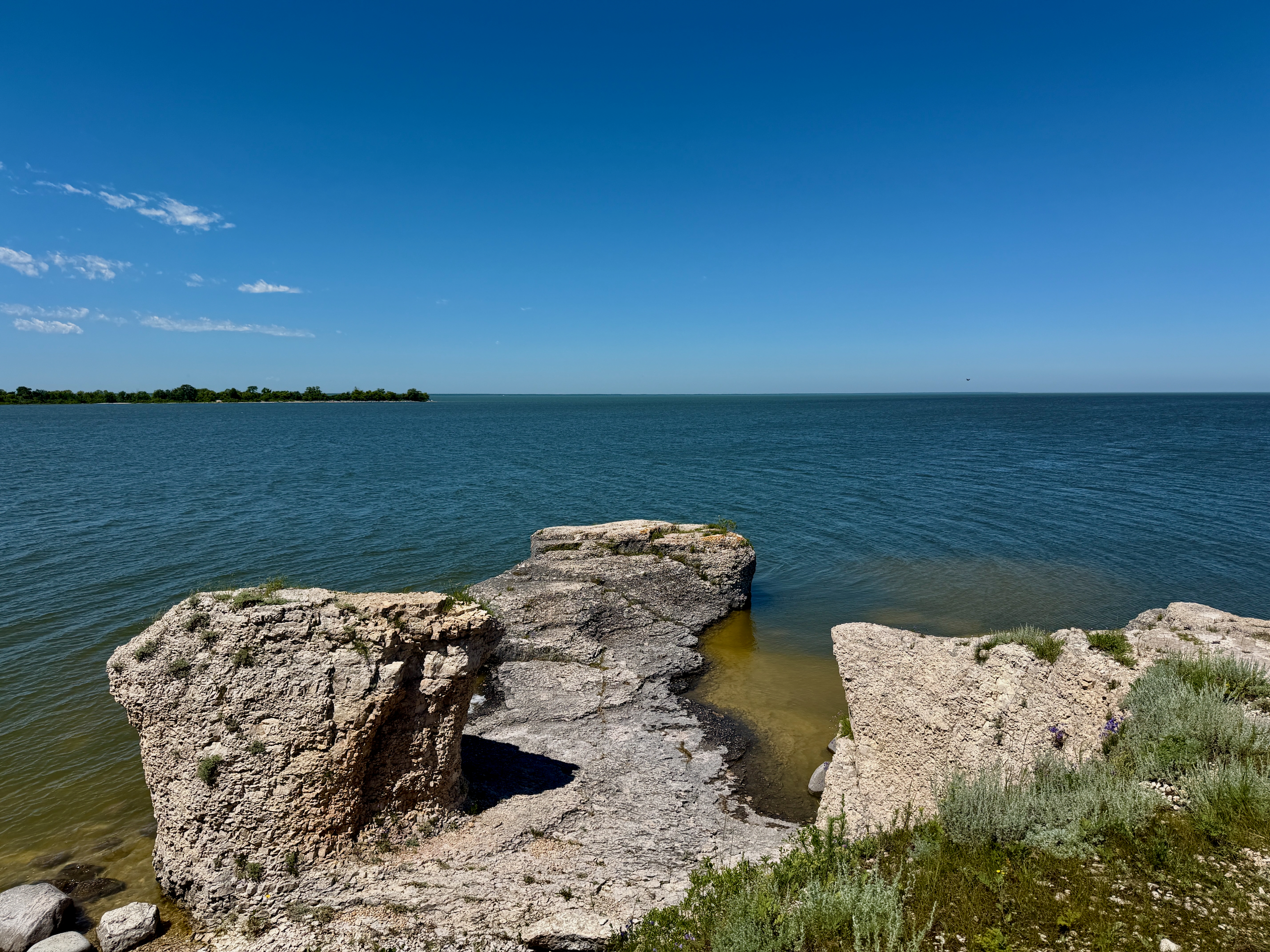
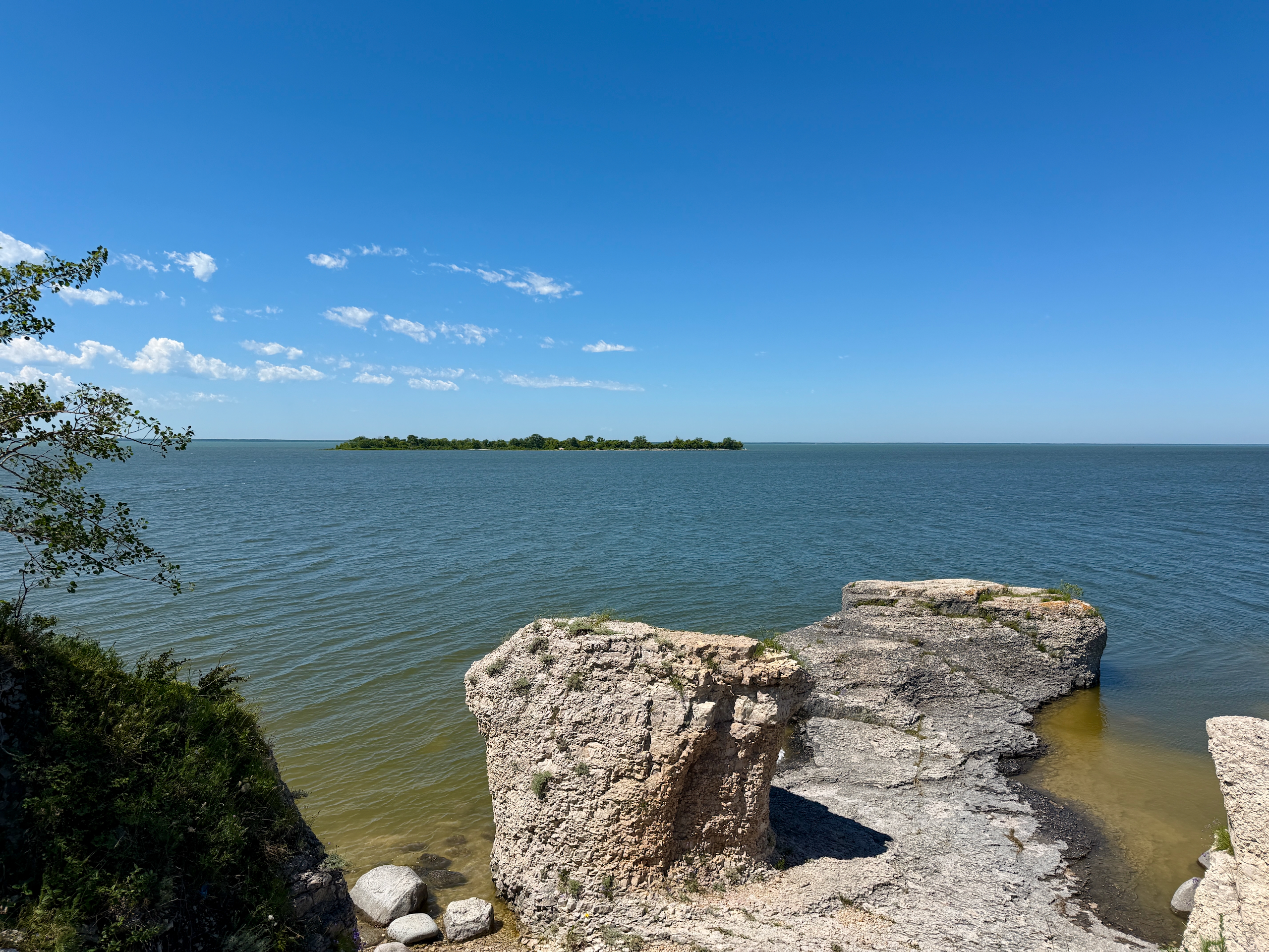
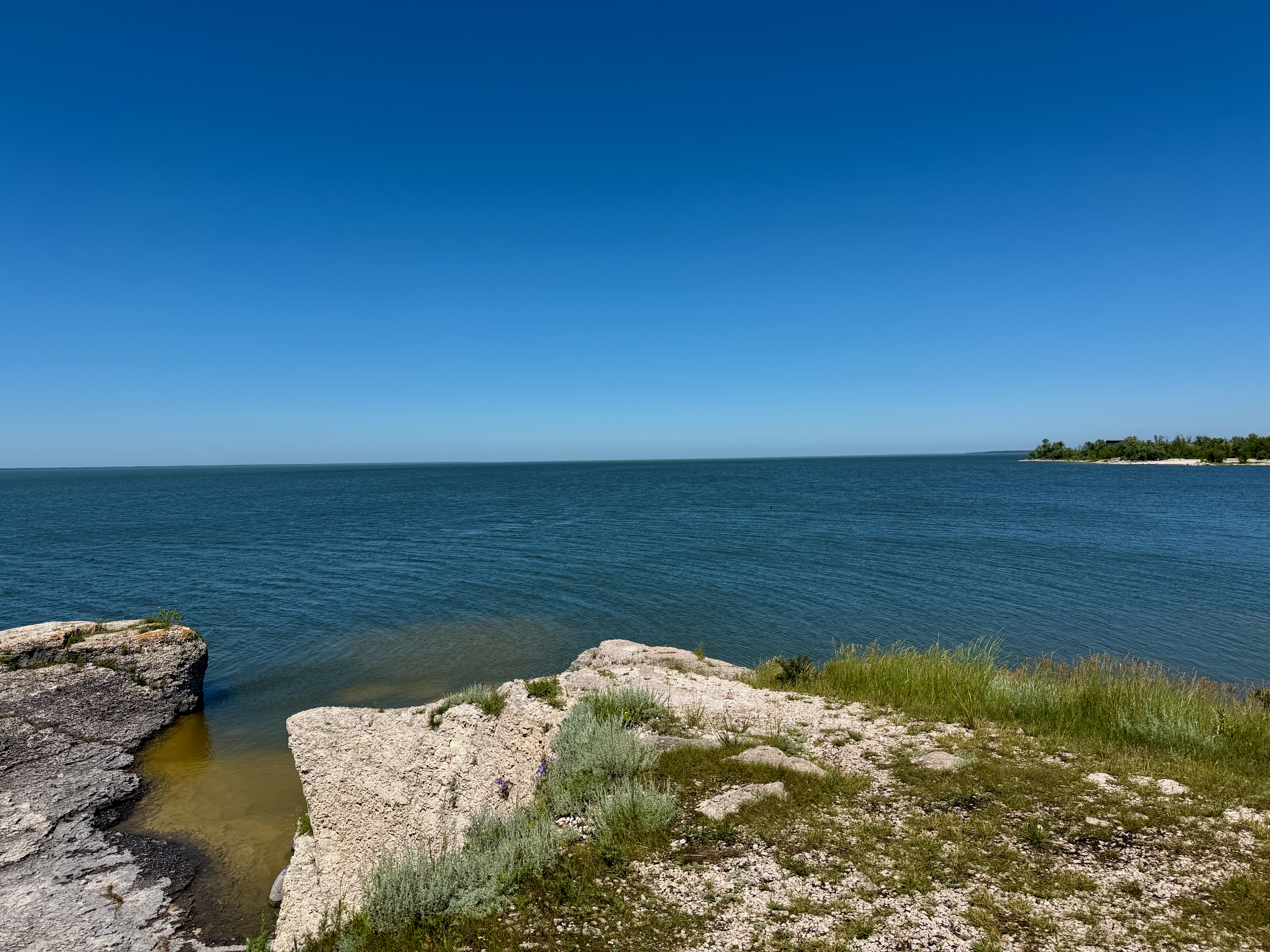
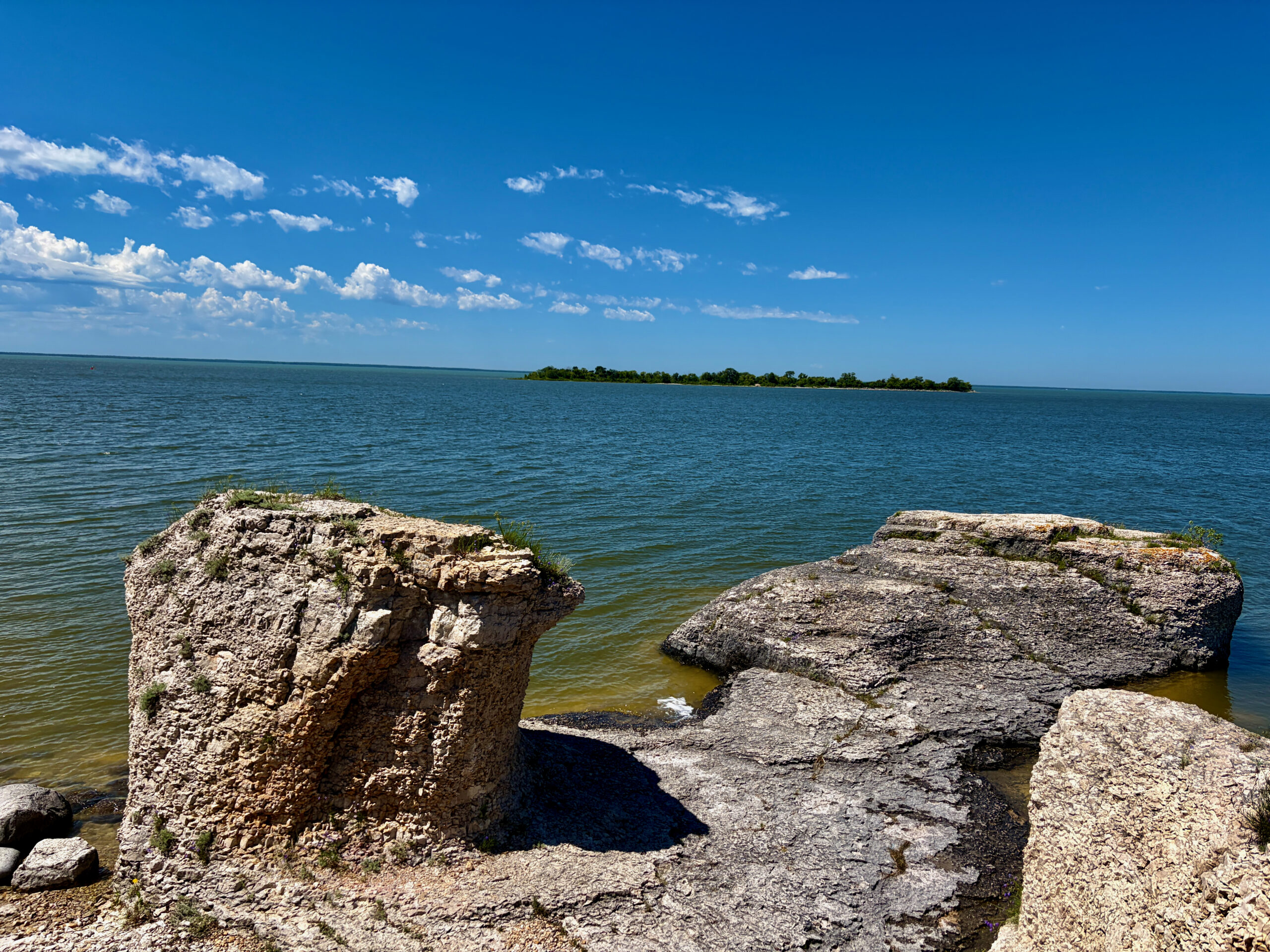
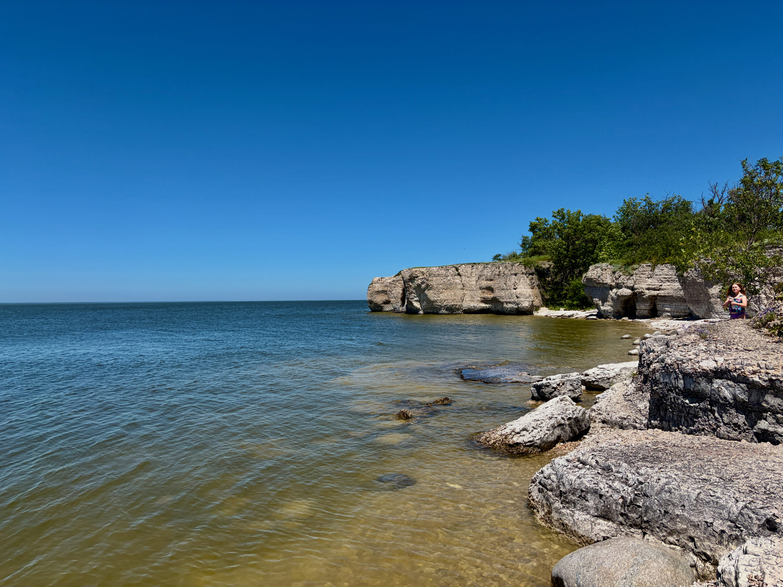
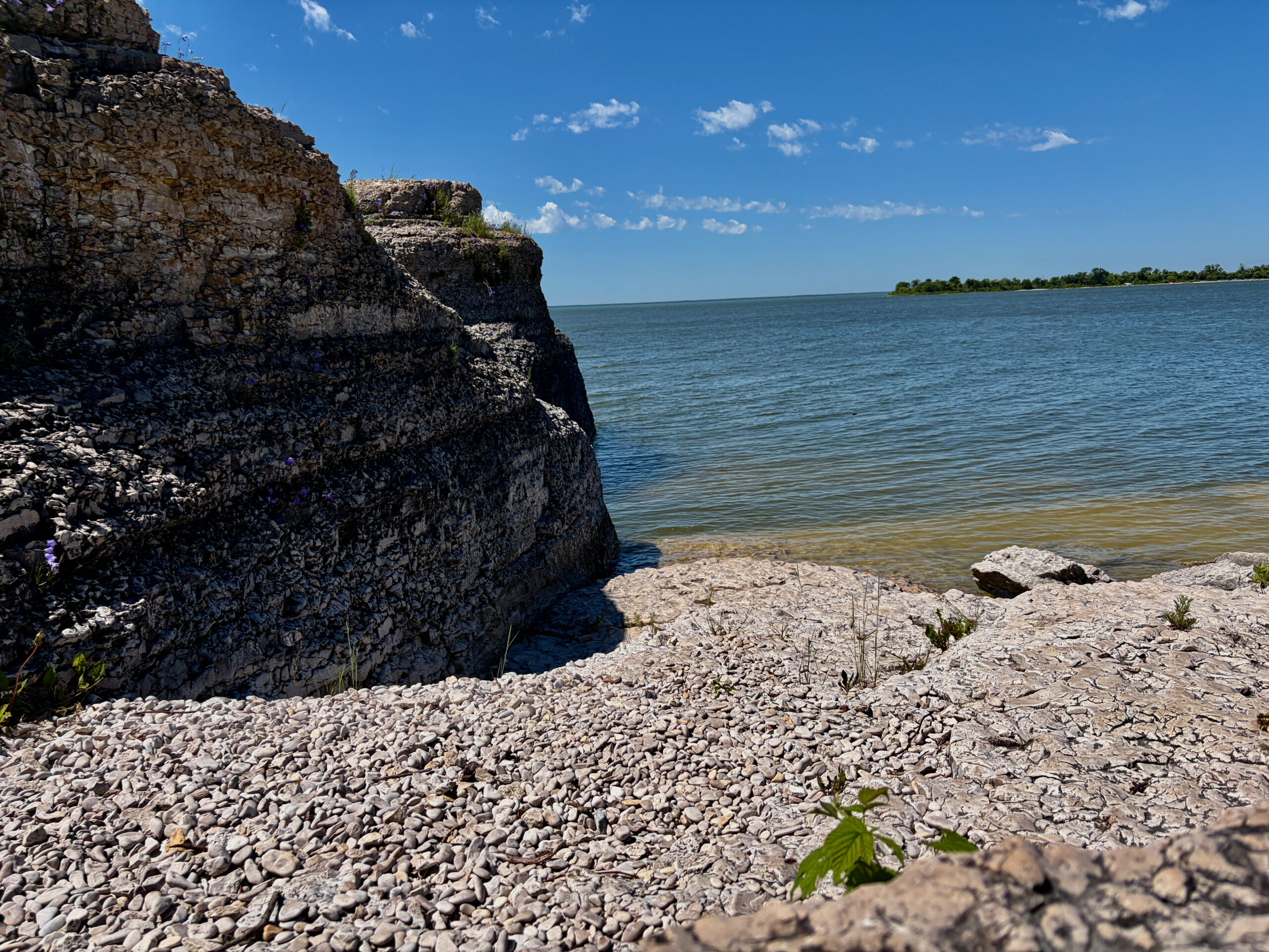
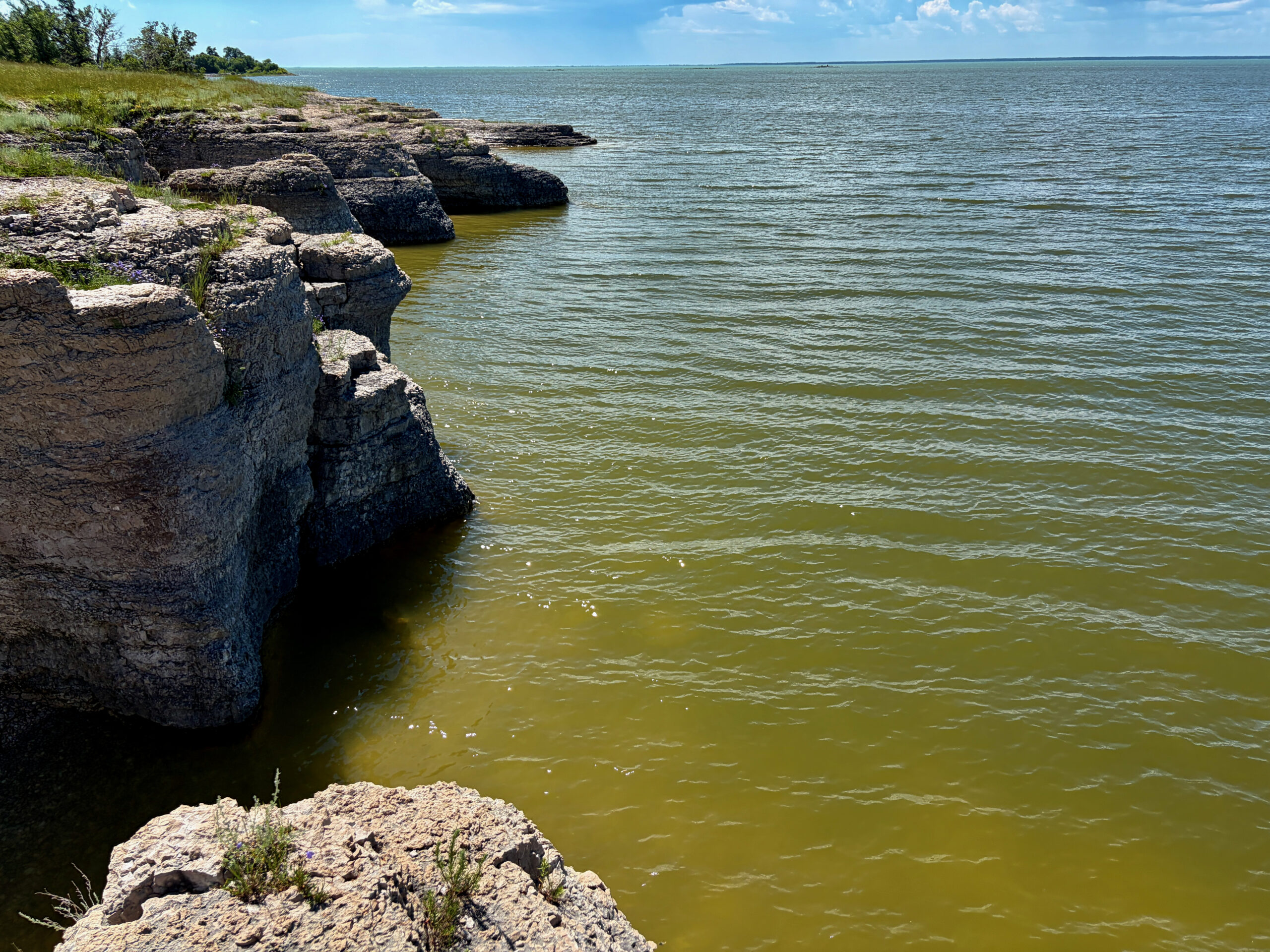
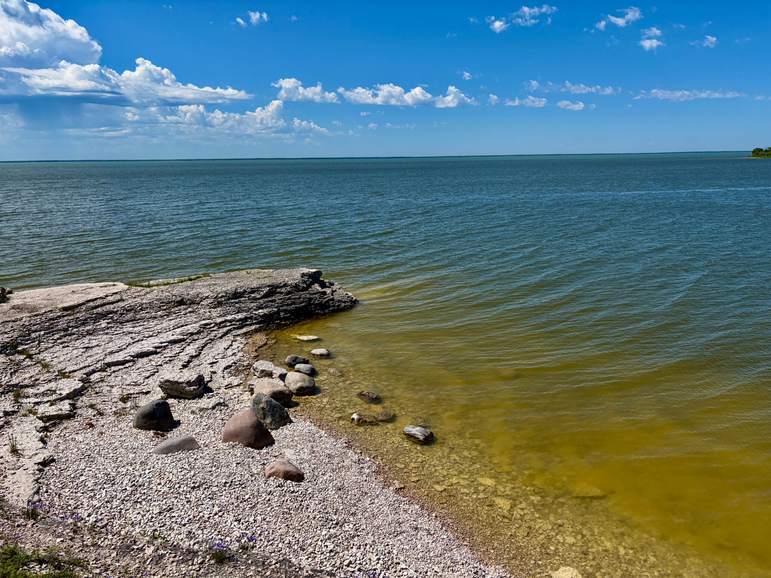
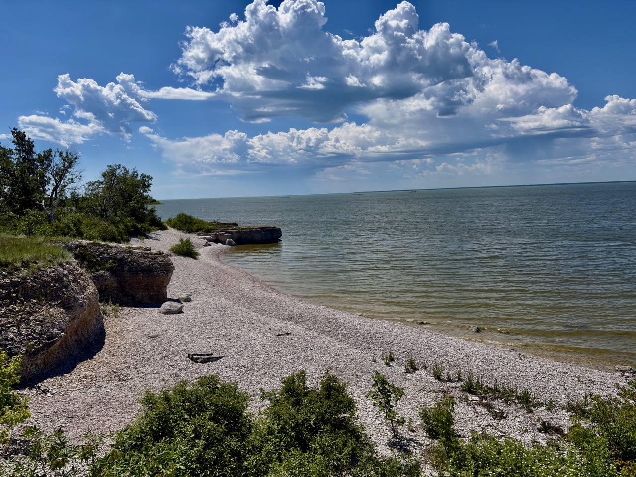
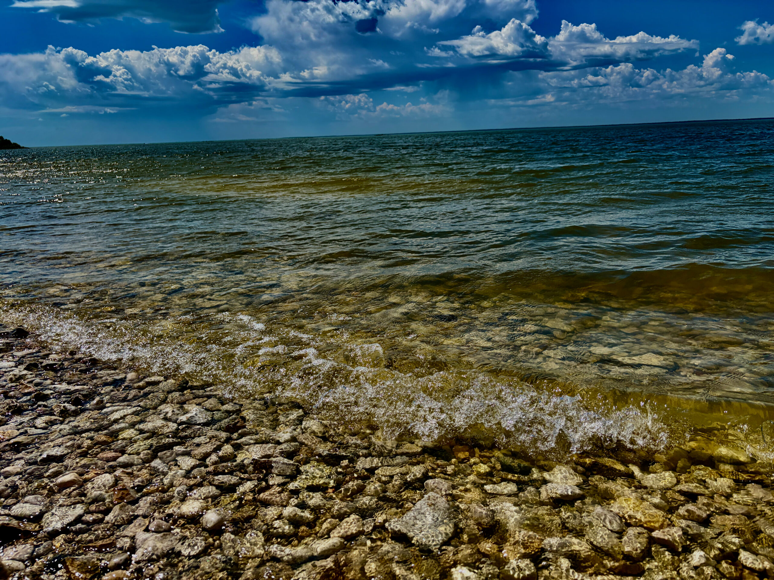
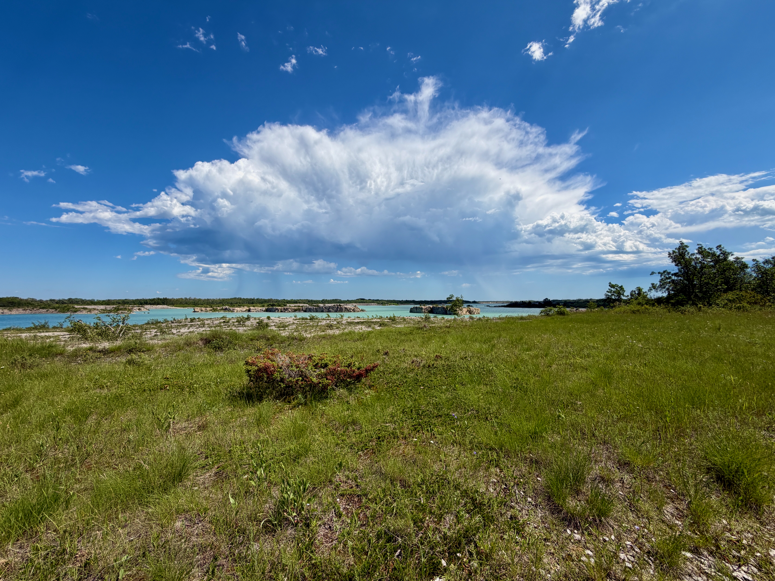
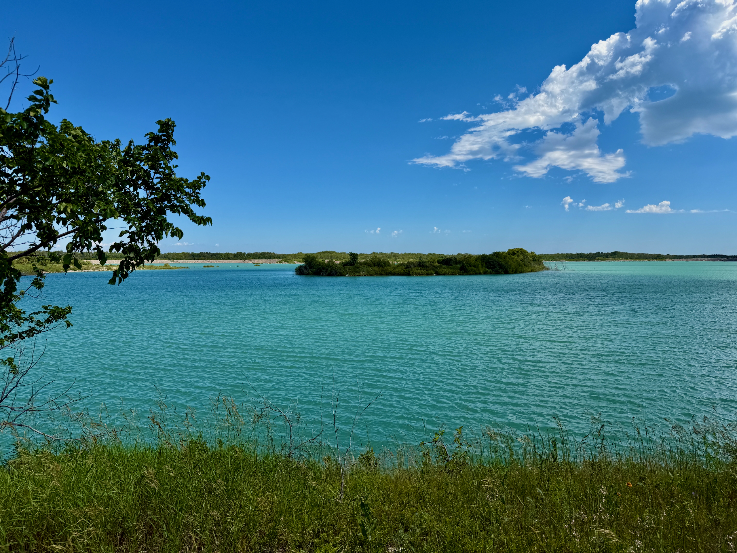
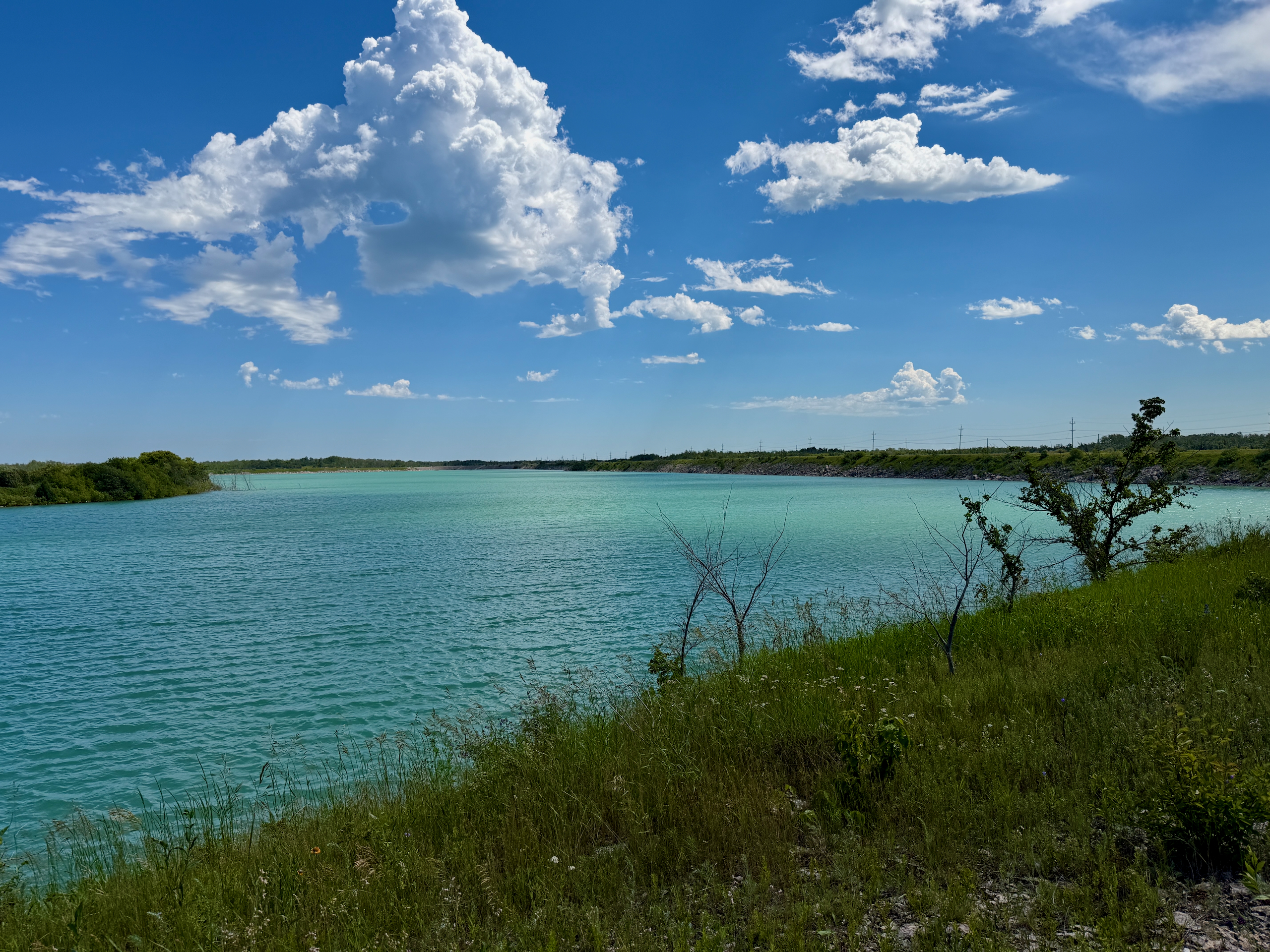
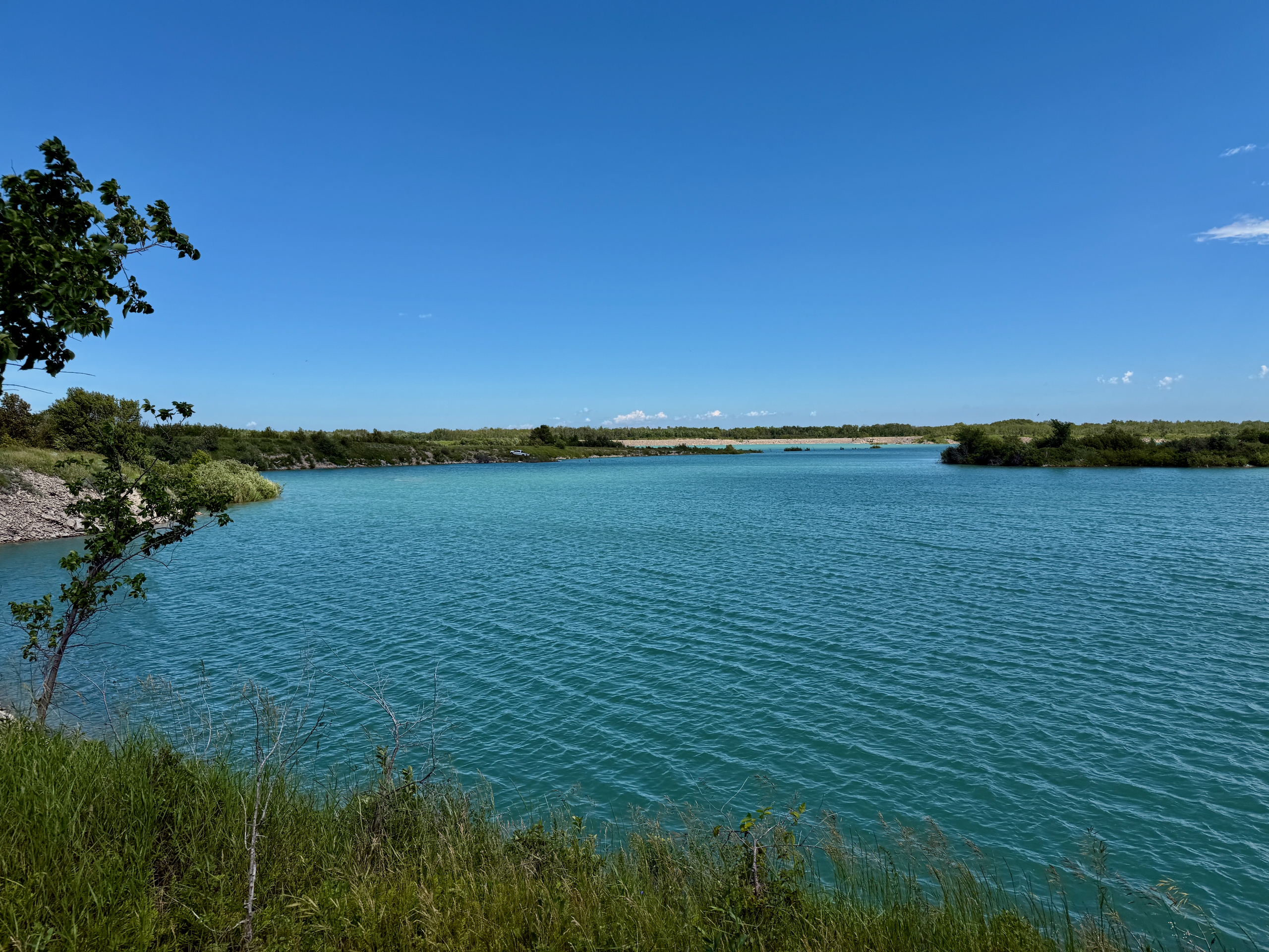
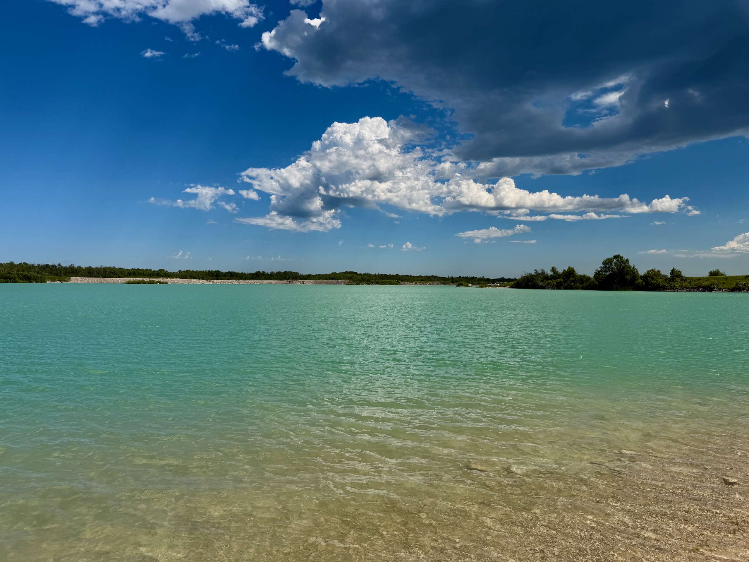
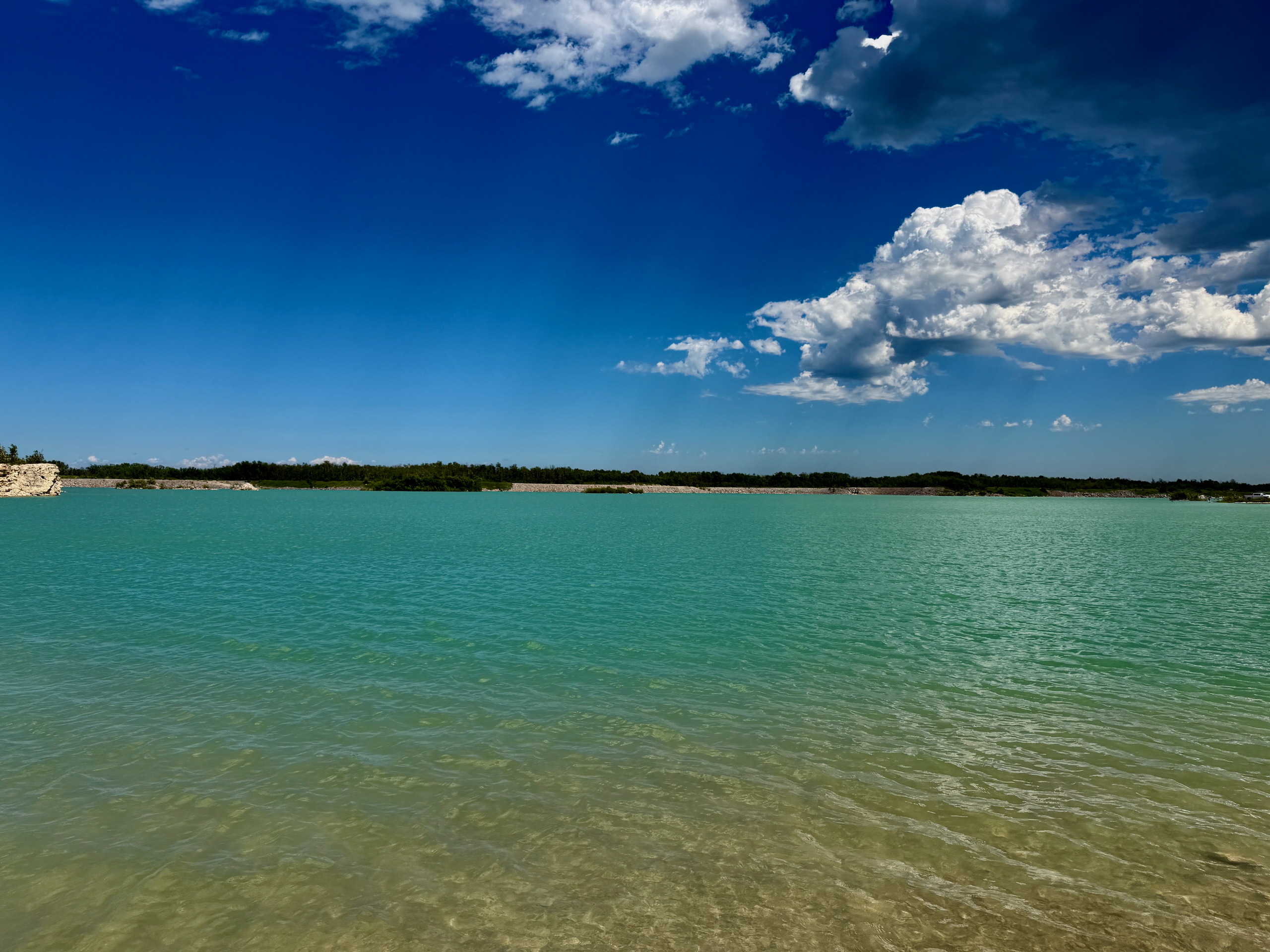
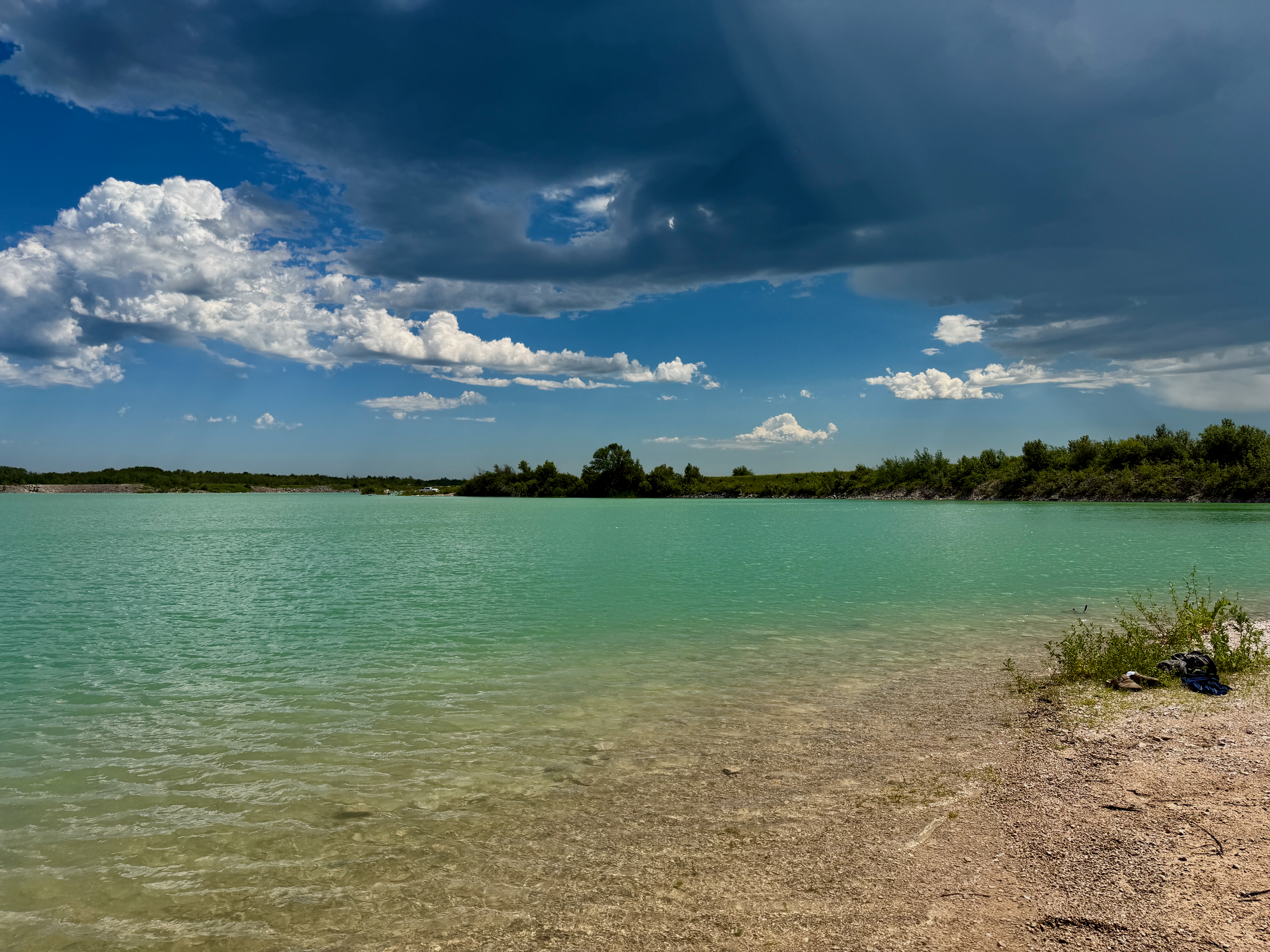
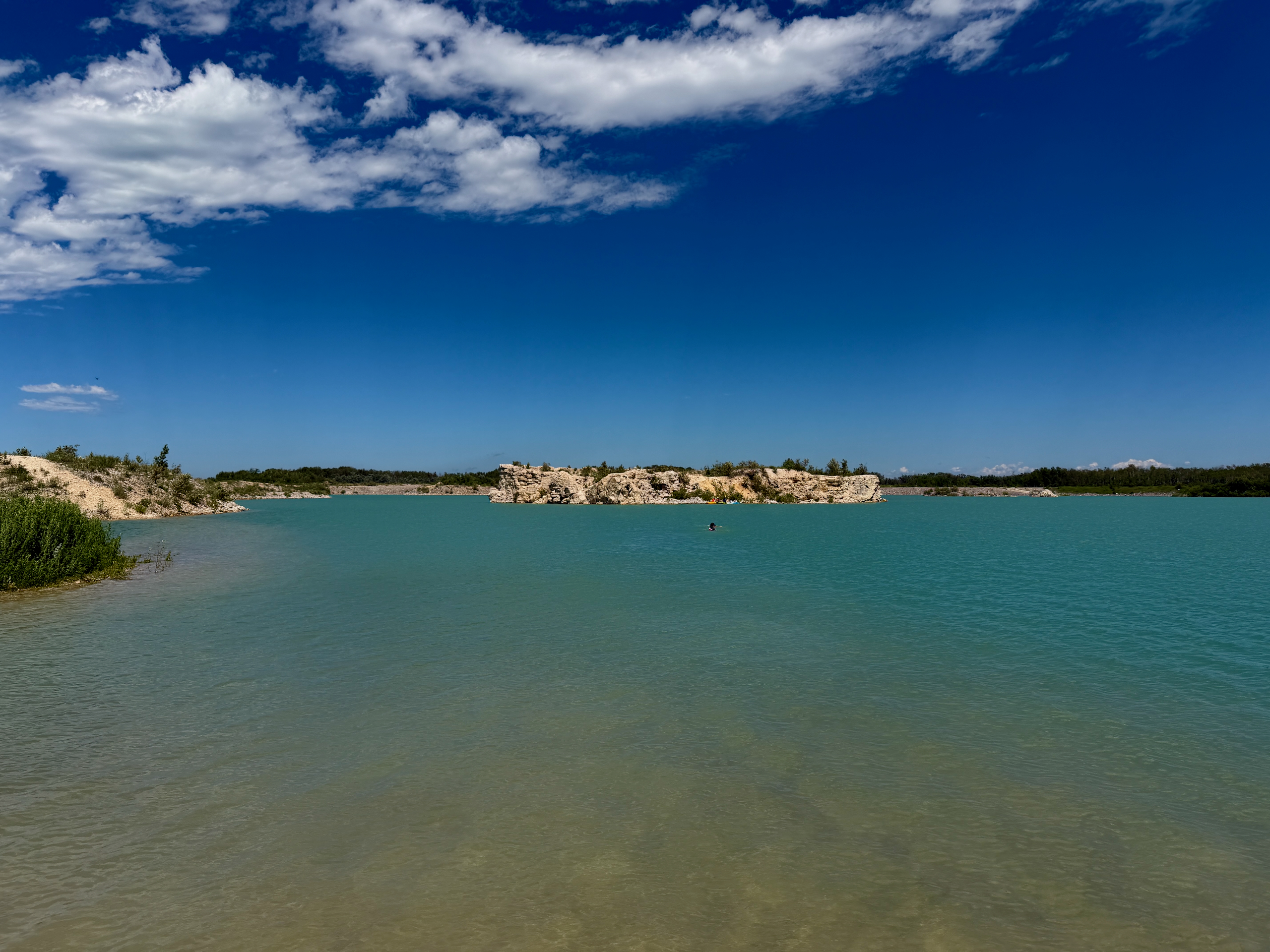
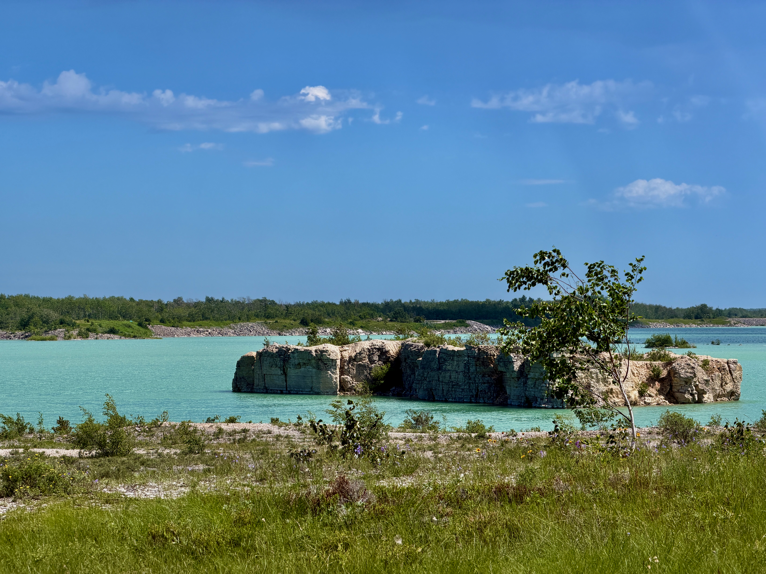
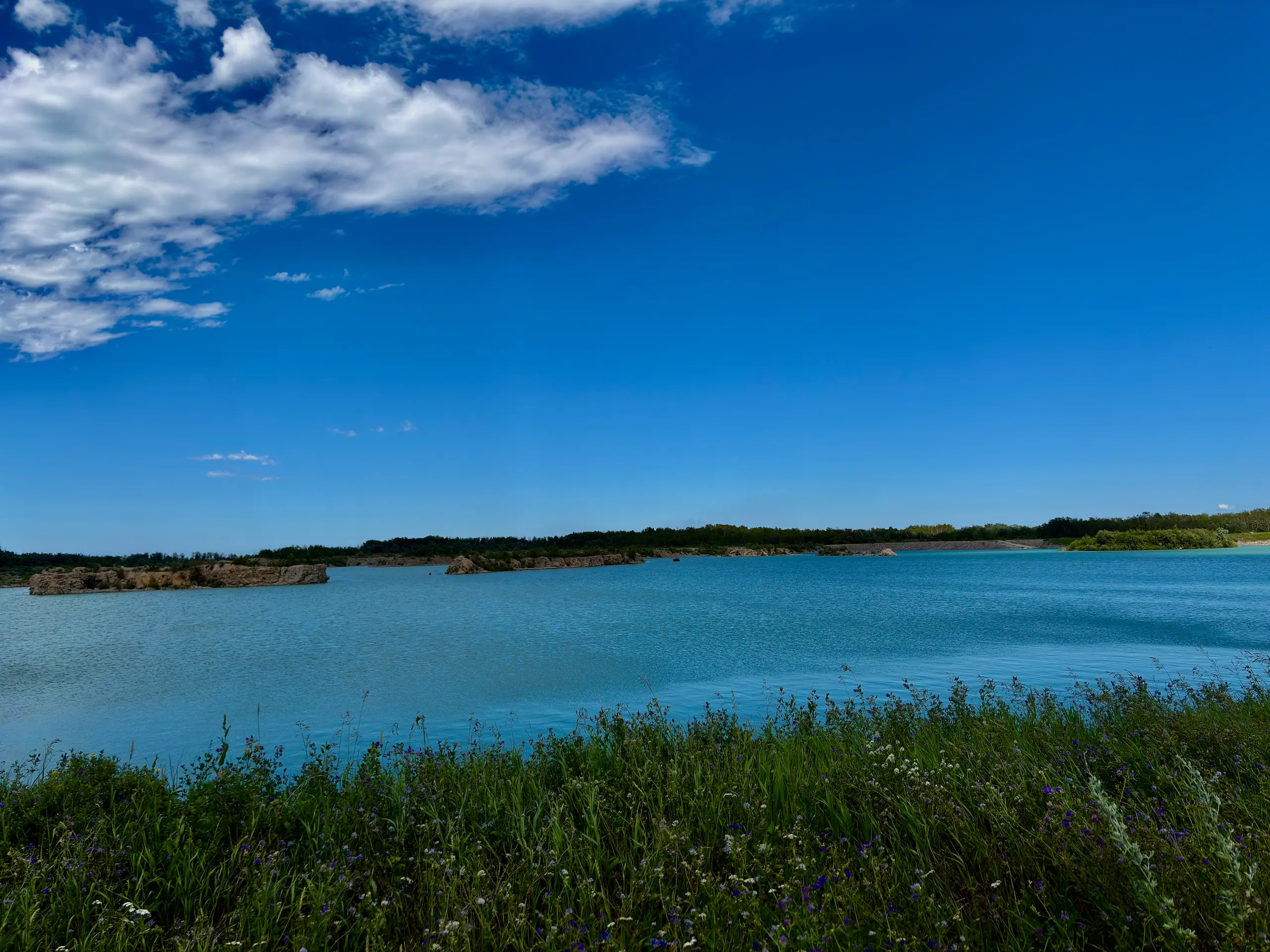
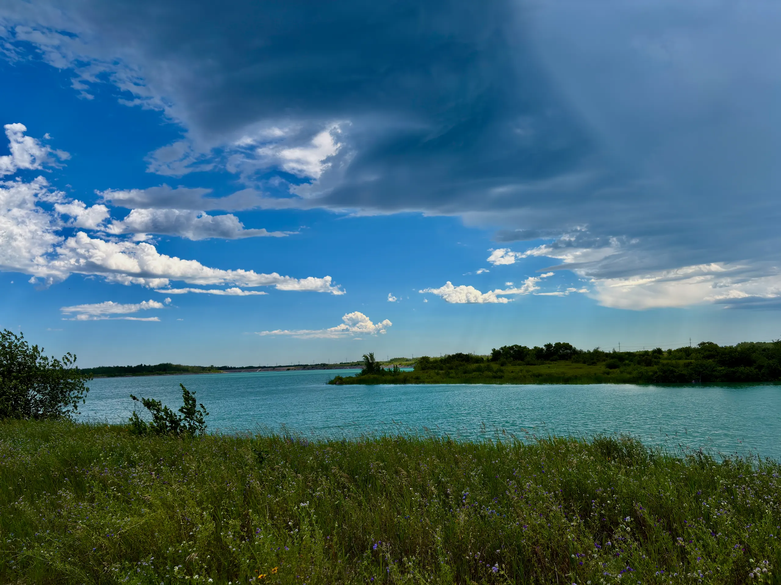
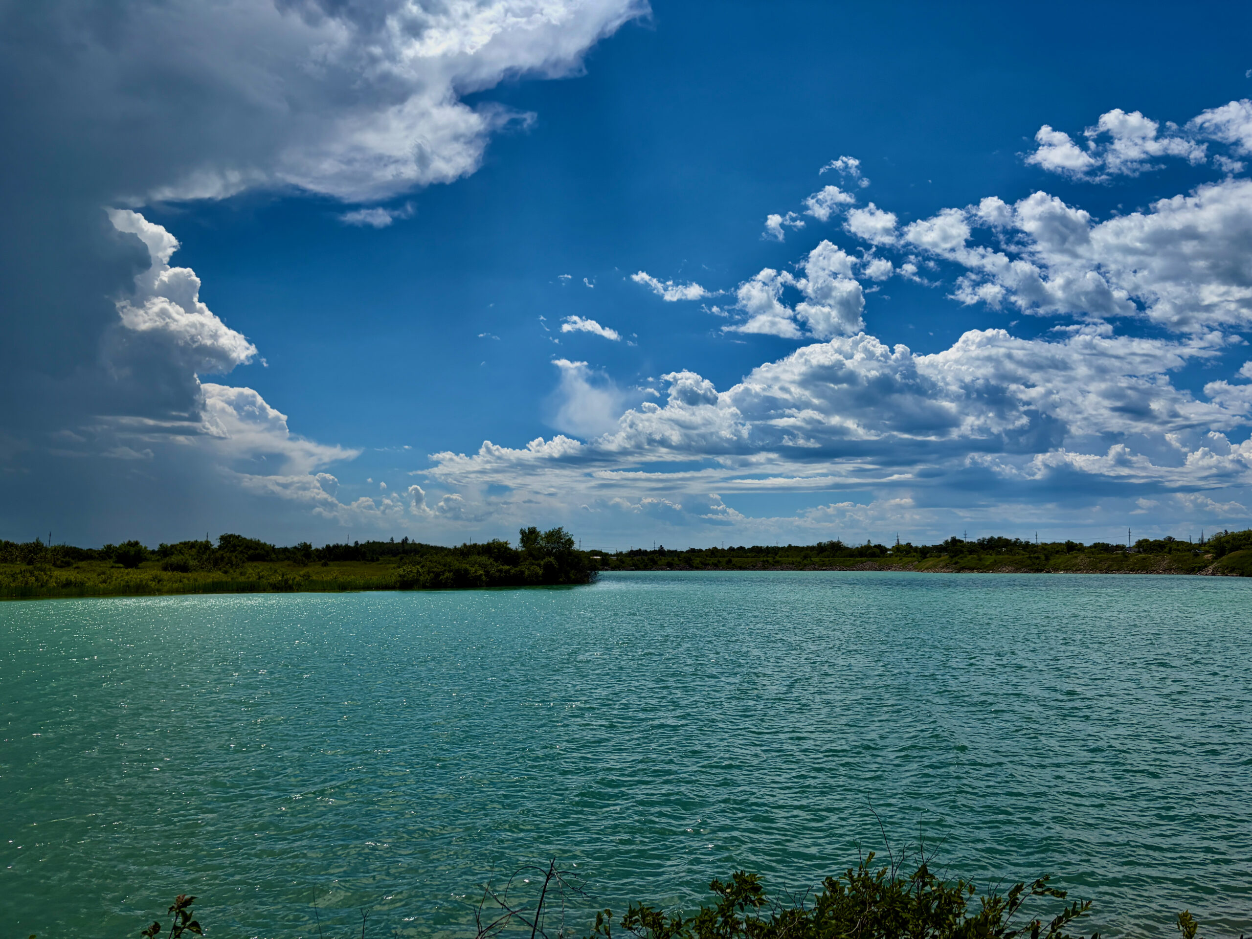
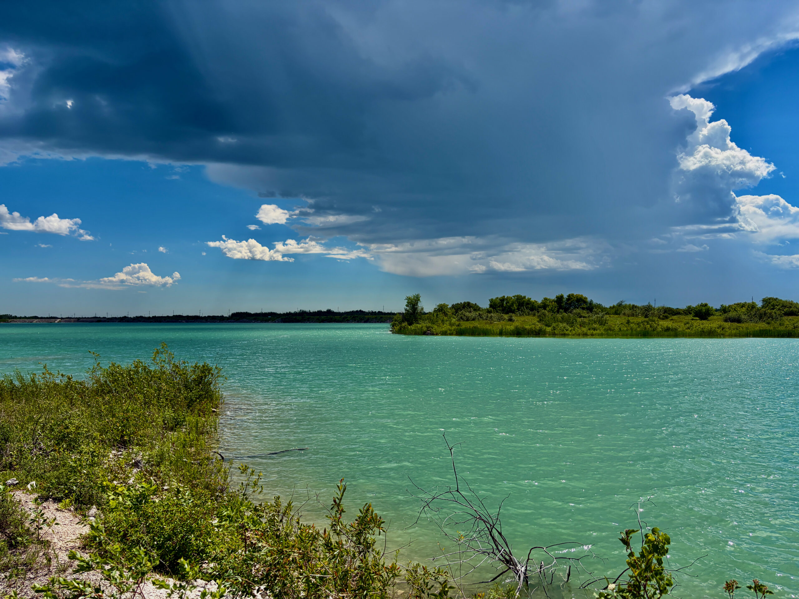
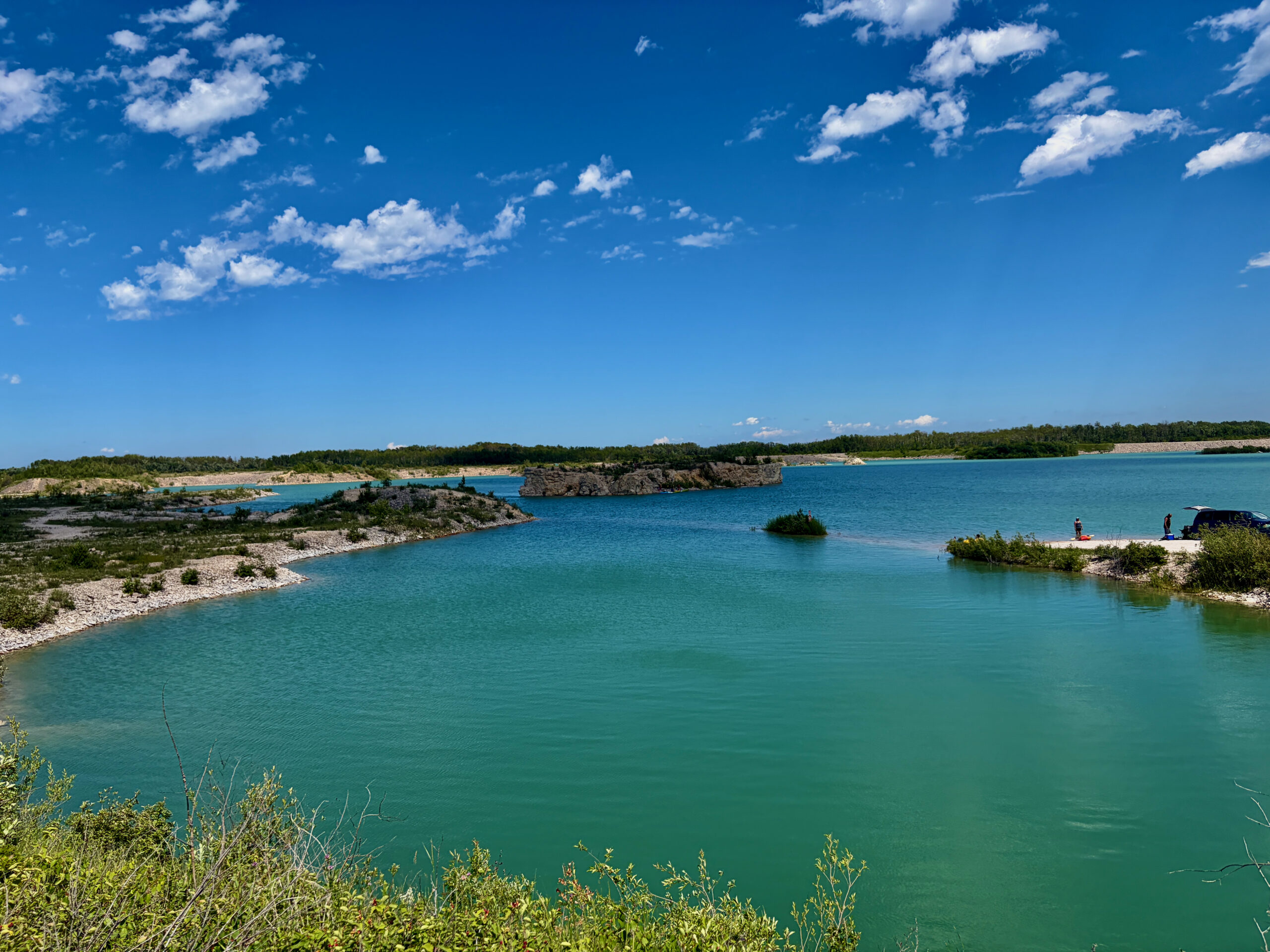
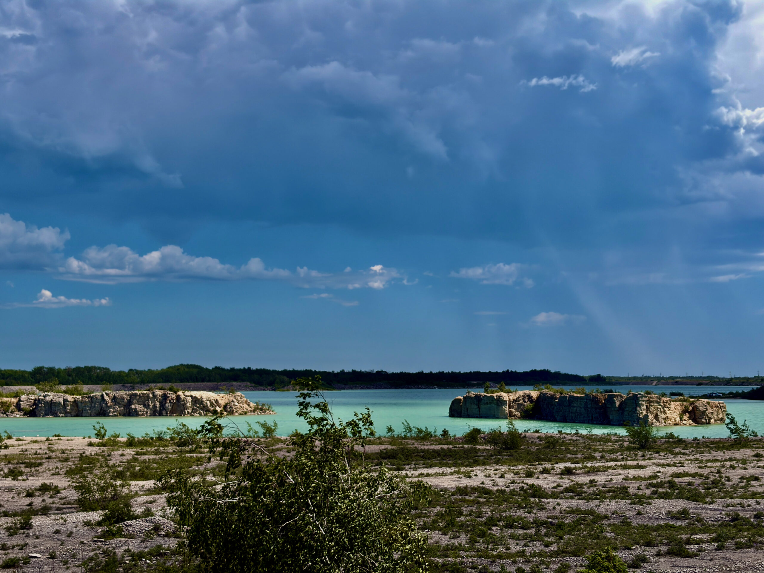
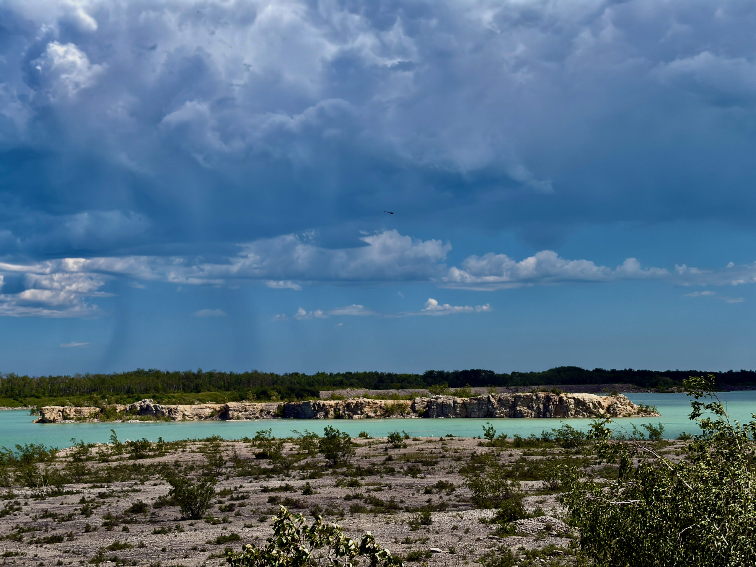
Steep Rock’s headline star is its limestone cliffs. For thousands of years the waves carved this ancient seabed into sheer bluffs, grottoes and caves about ten metres high. Calcium from the limestone tints the water an incredible turquoise-emerald, and the contrast between the bright lake and the pale rock really does recall a Mediterranean coast.
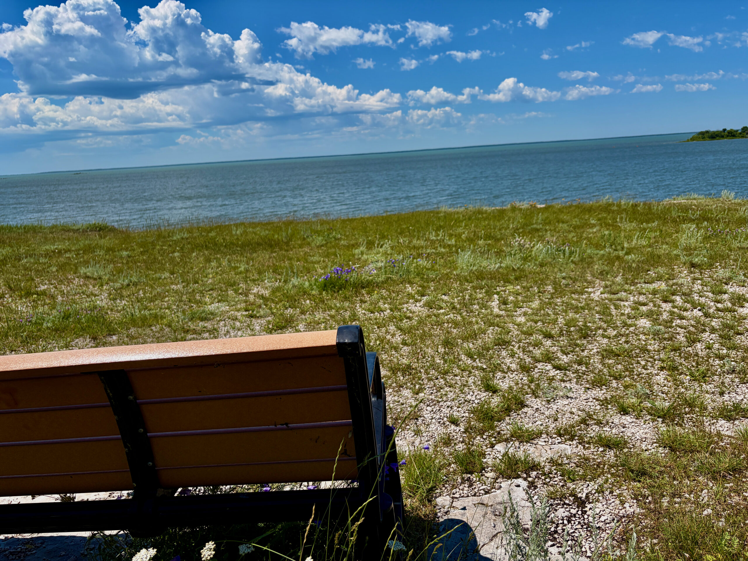
No wonder Steep Rock is called one of the most photographed spots in Manitoba. The best time for a shot is sunset: the cliffs face west, so the last golden light reflects off the clear water. There are even benches set along the bluff so you can simply sit and watch.
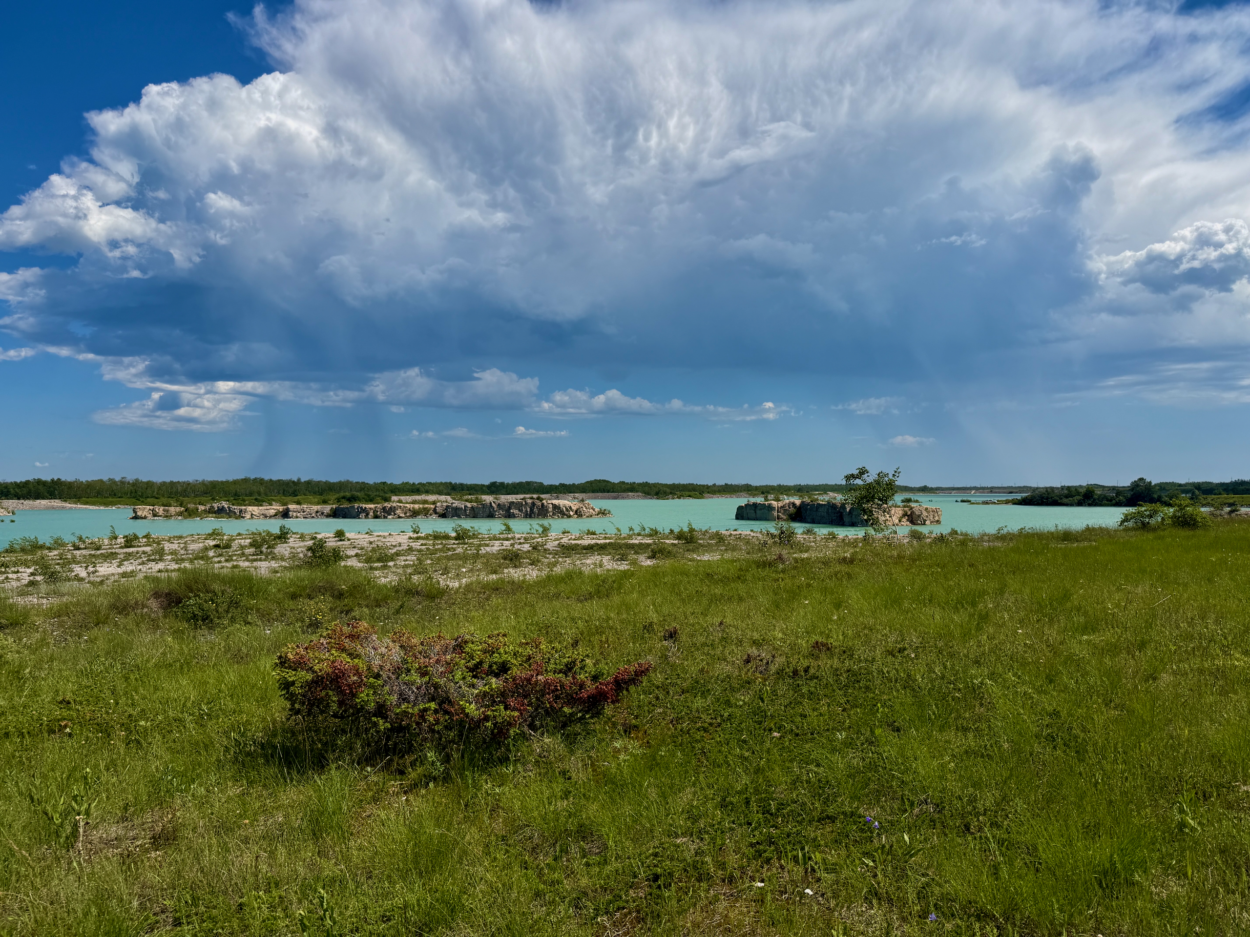
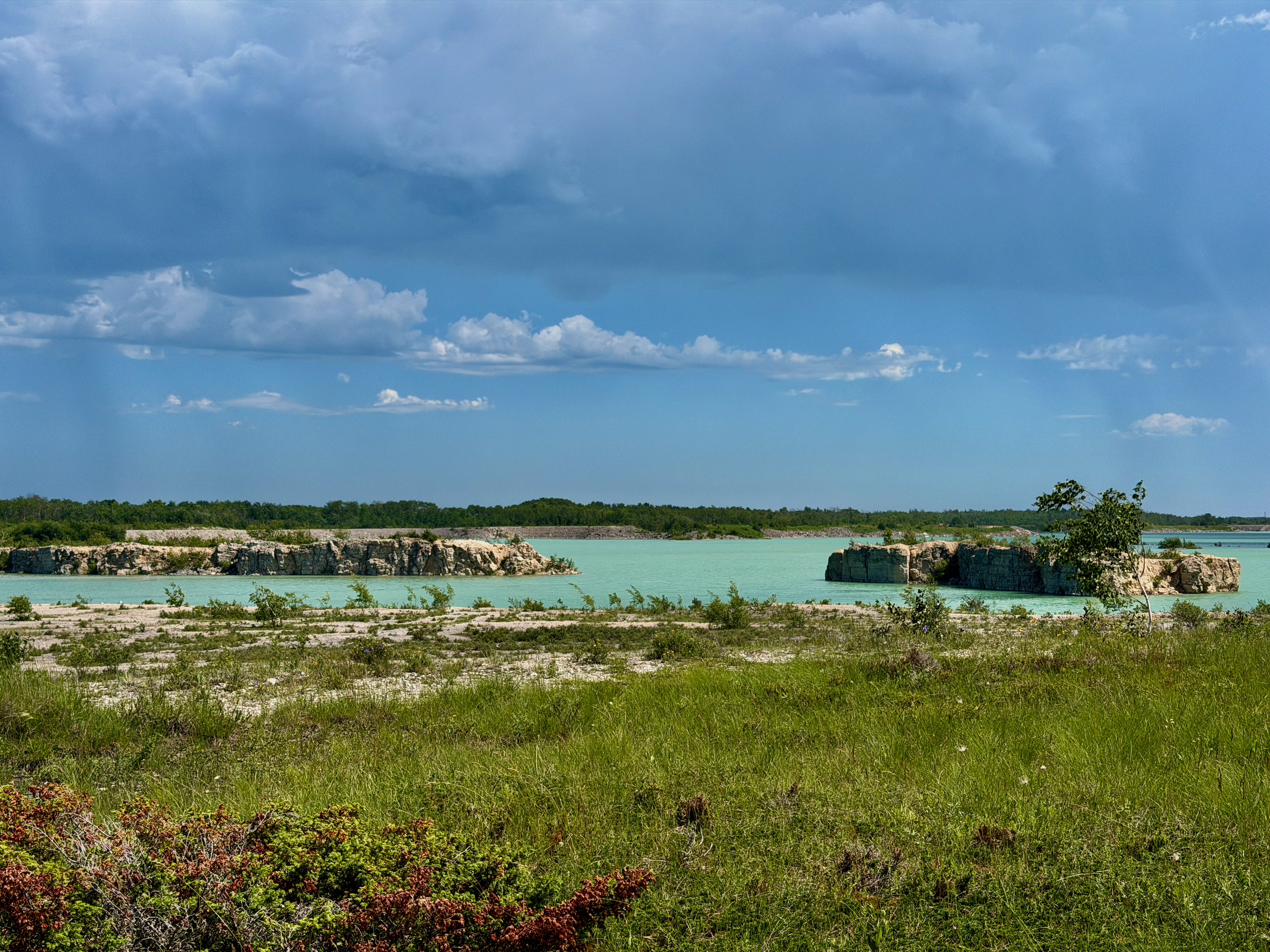
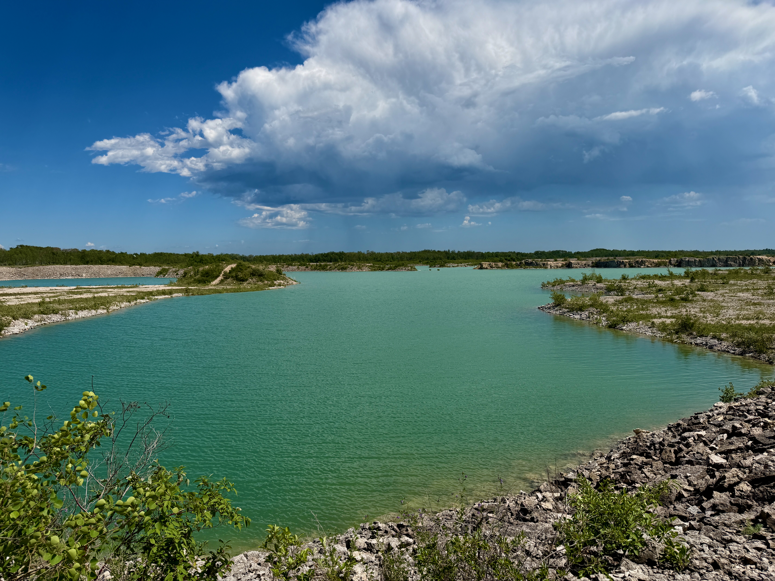
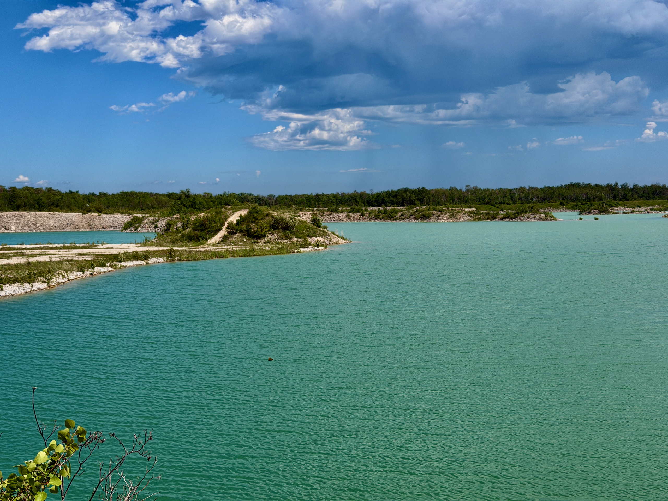
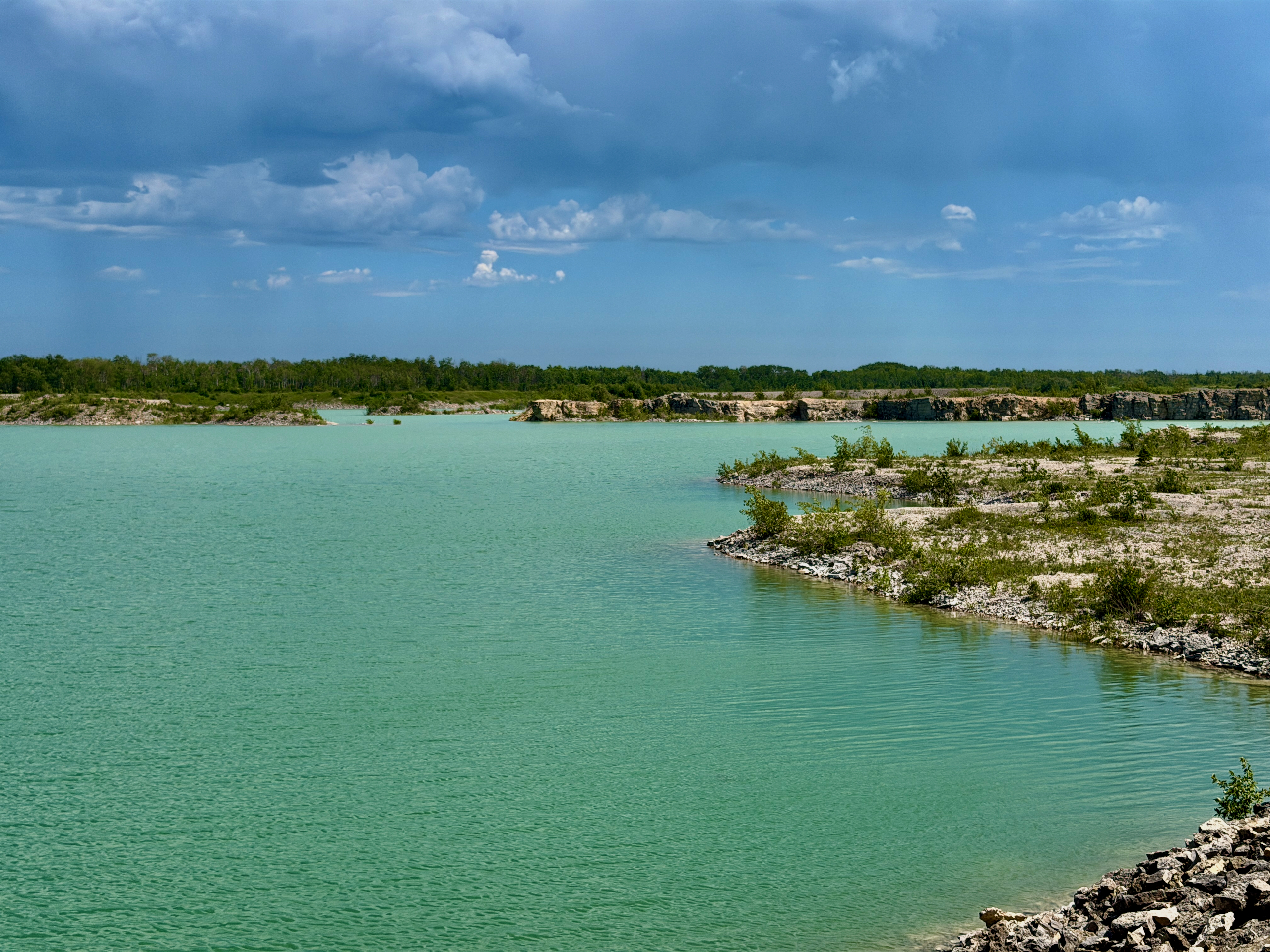
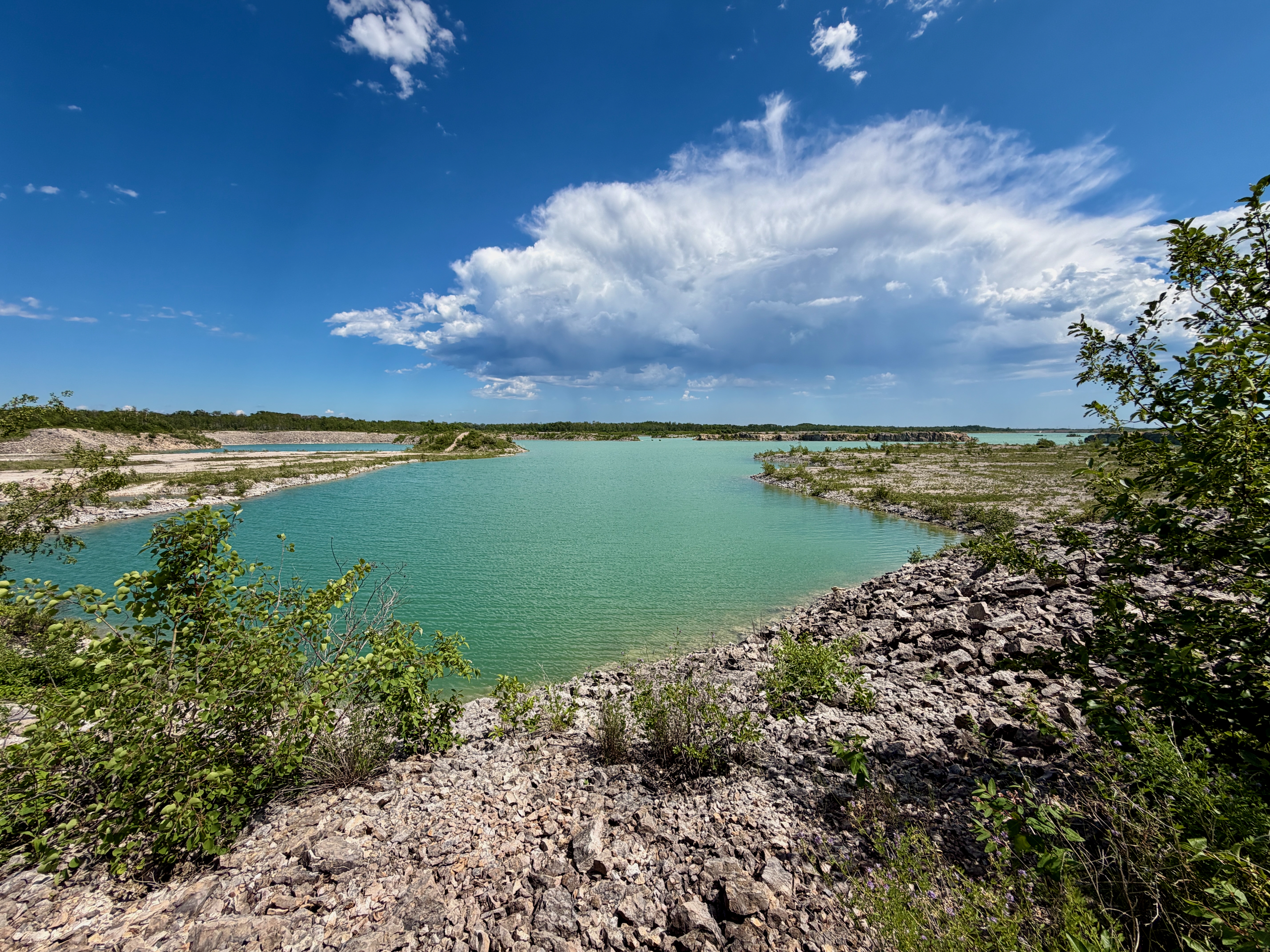
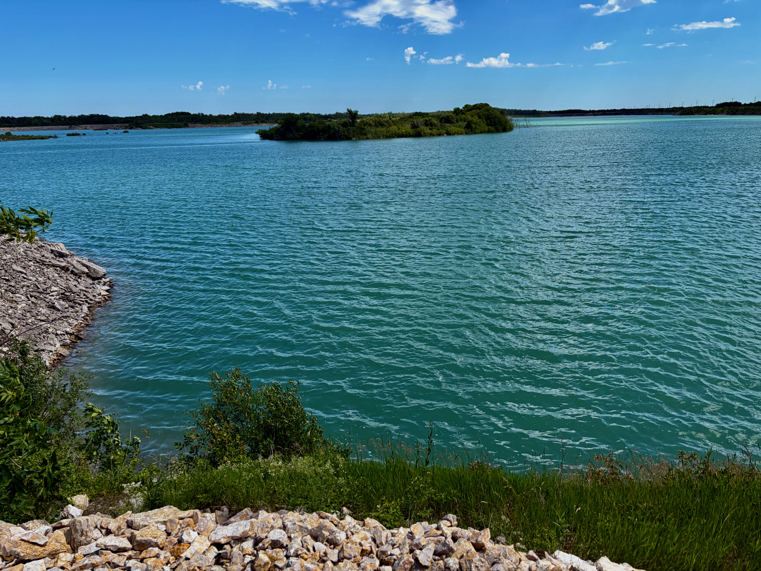
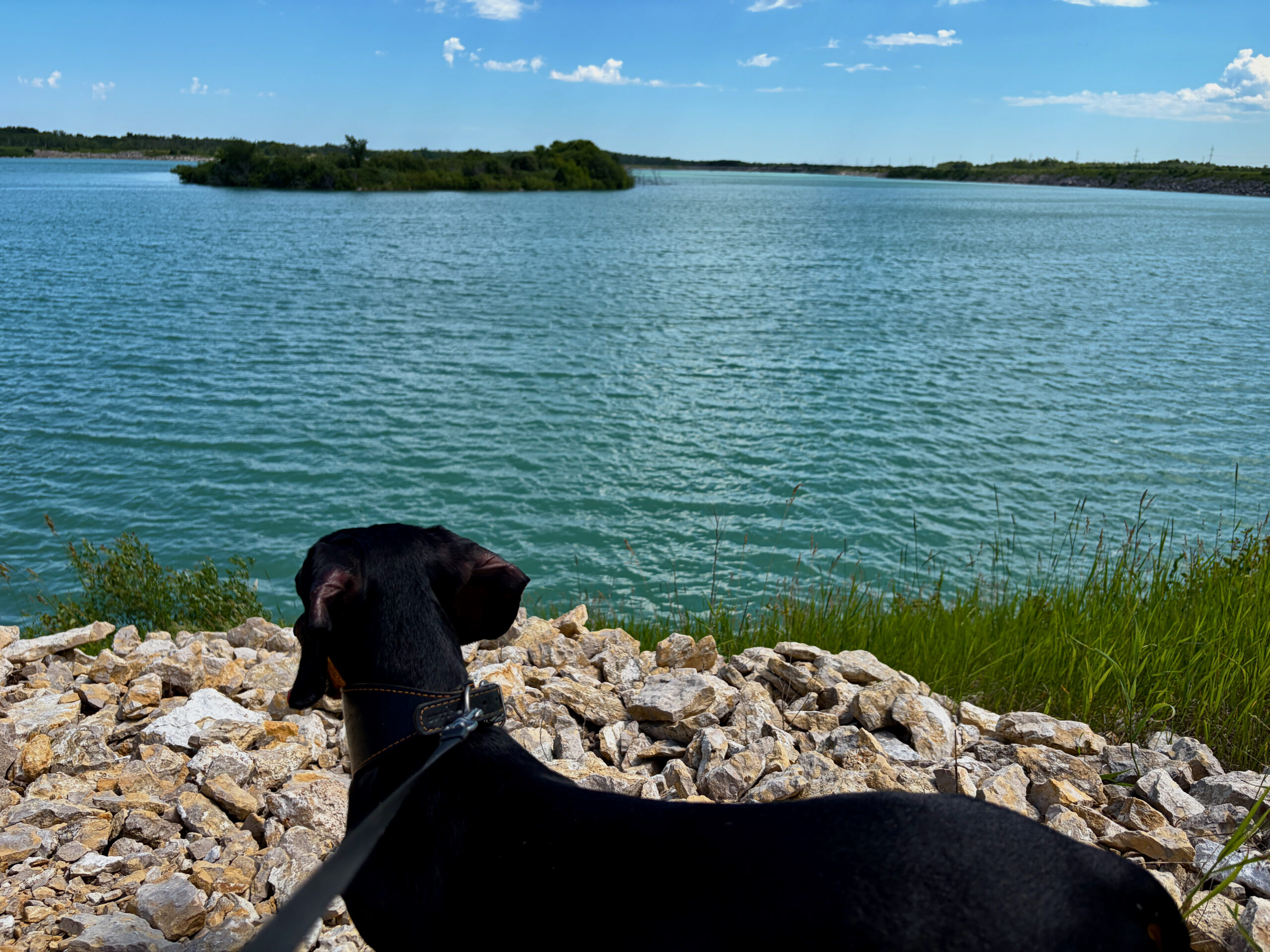
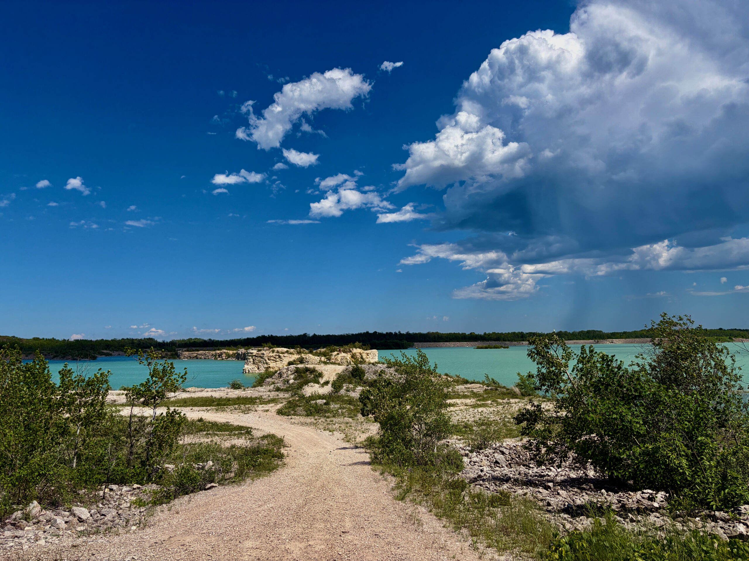
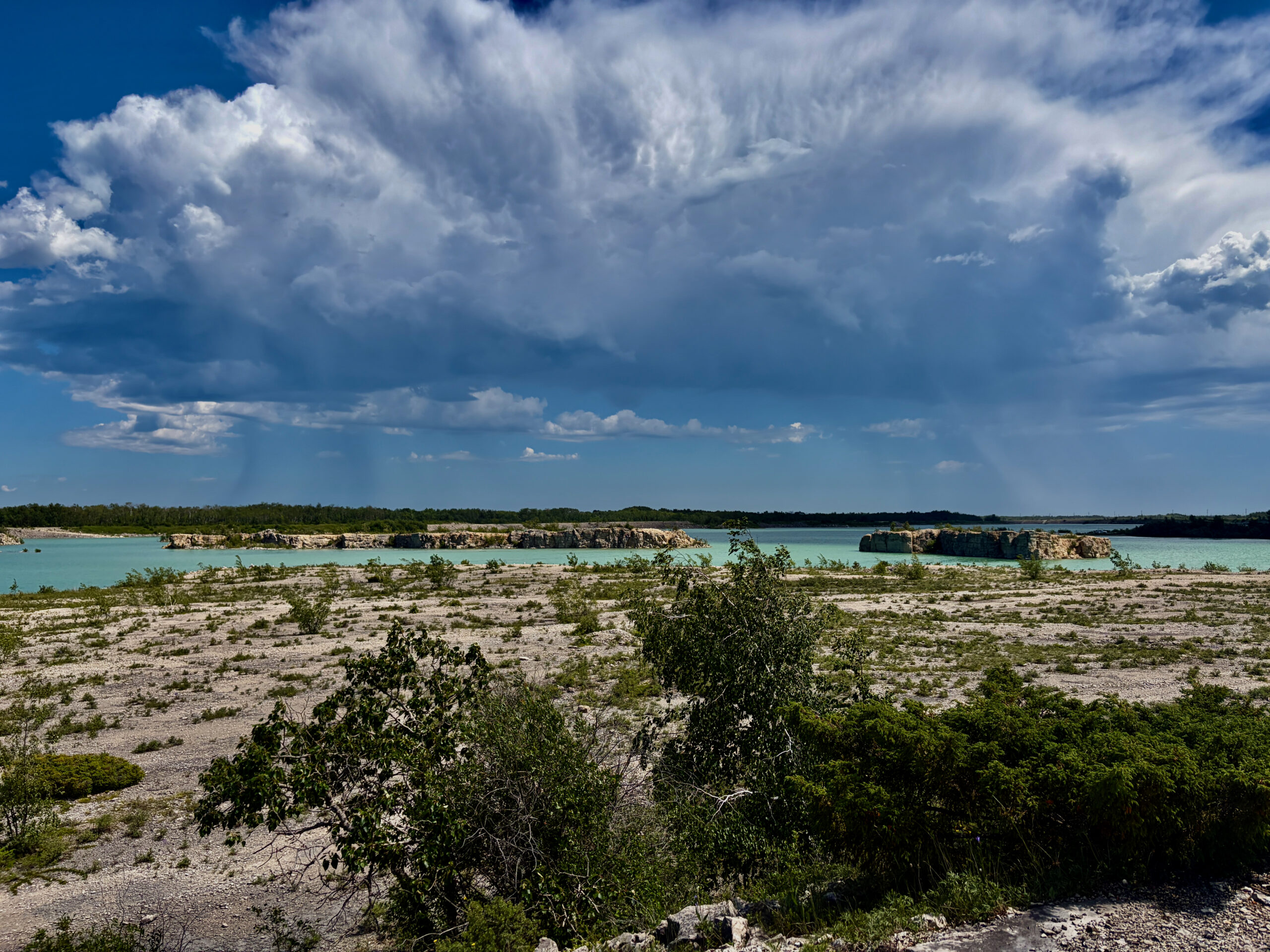
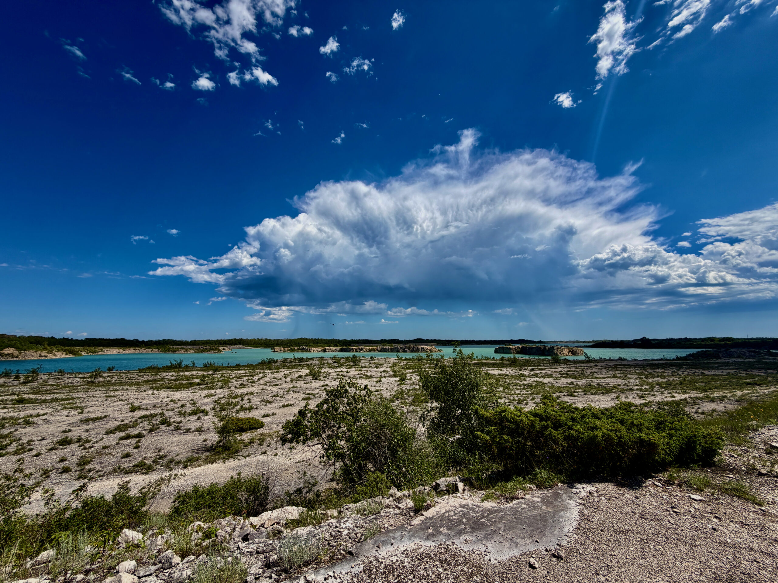
It helps to know that Steep Rock really has two faces. One is the Lake Manitoba shore itself, with its limestone cliffs and beach. The other is the old flooded quarry with that signature “Caribbean” turquoise, which locals have split into a dozen scenic corners with unofficial names like Neptune Lake.
What to do here
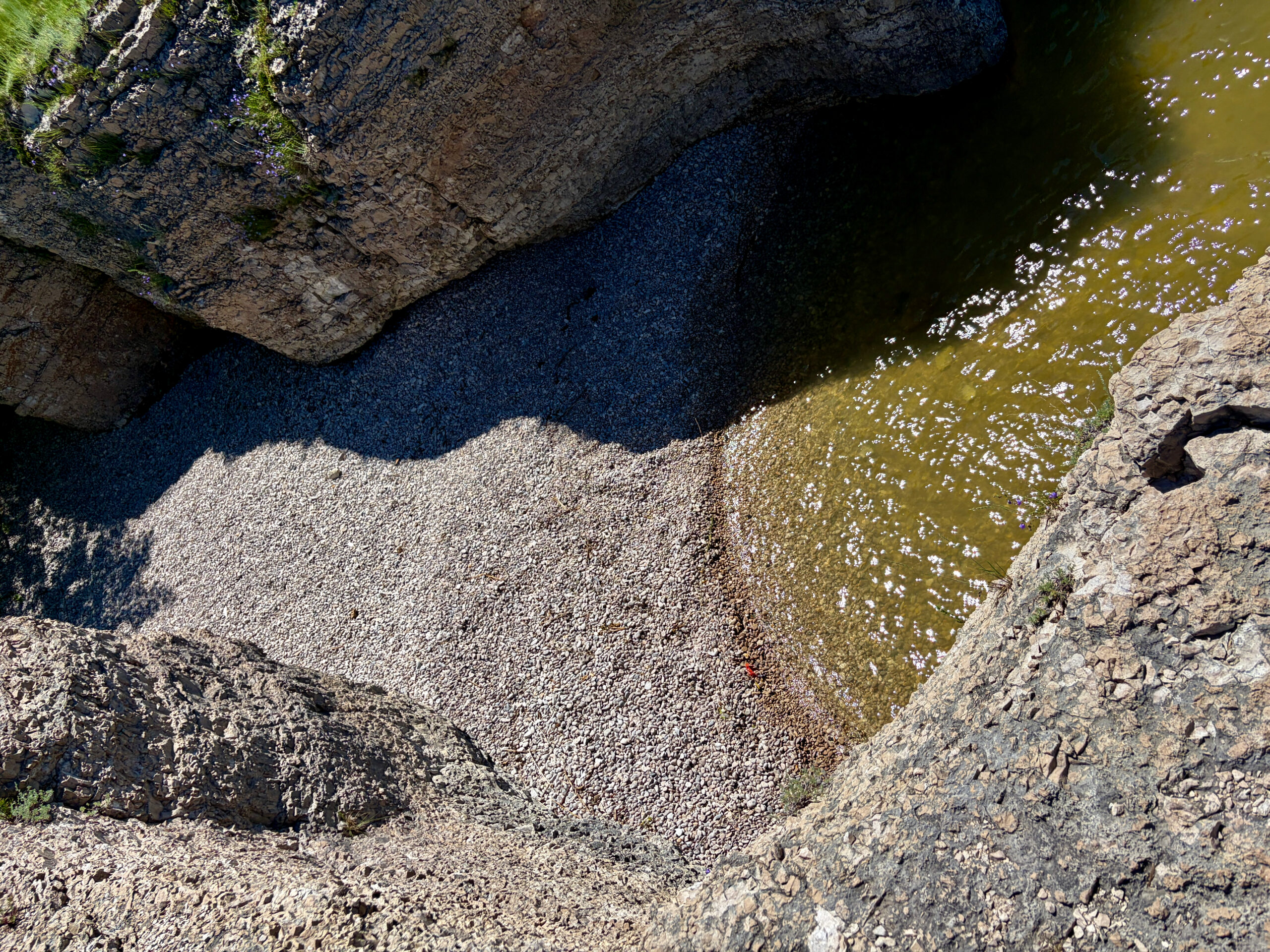
Walk the cliffs. The beach here isn’t sandy but stony — finer gravel by the water, bigger boulders further up. Trails wind along the tops of the bluffs; a popular route is the Little Steep Rock Trail (about 4.3 km), which you can extend into a loop around the old quarry (about 8 km) with another vivid blue pool.
Explore the caves. When the water is low, caves eroded into the limestone open up along the shore. You can only reach them by scrambling down the cliffs and wading along the base, so you’ll need rubber boots or water shoes — and, above all, calm weather. In high water some of the grottoes are flooded, so check ahead.
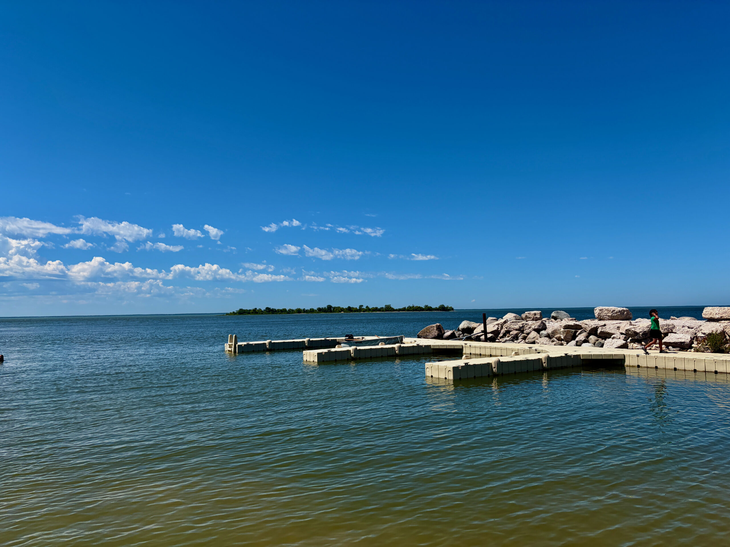
Paddle. There’s canoe and kayak rental right by the beach (also available at the dock in season). From here it’s easy to get out on the water along the shore to see the rock formations from below, or paddle over to little Goat Island.
Swim — carefully. There are a few swimming spots, but almost everywhere there are “no jumping” signs: it’s shallow and rocky near shore. The nicest clear water is in the flooded quarry.
Listen to nature. In spring the tops of the cliffs are carpeted with purple crocuses — a local sign that winter is over. That’s also when red-sided garter snakes (the ones that made Manitoba famous) emerge from the limestone crevices to warm up. Out over the water you may spot loons, ducks and even a bald eagle.
A bit of history
Steep Rock grew up on farming and limestone. In the fall of 1913, Canada Cement Lafarge opened a quarry here, and that year proved a turning point for the village — the railway and telephone arrived. The local high-calcium limestone was hauled to the Canada Cement plant in Winnipeg to make Portland cement; the quarry ran right up to 1992 and, at its peak in 1978, produced nearly half a million tonnes a year. A nice link to the present day: the same plant’s Winnipeg quarries later filled with water too — becoming the lakes of today’s FortWhyte Alive. This “second life” of an industrial pit is far from unique: the flooded Reynolds Ponds quarry near Winnipeg came about the same way — though there they dug concrete aggregate, not limestone. If you’d like to compare, the history of the Reynolds Ponds quarry is worth a read.
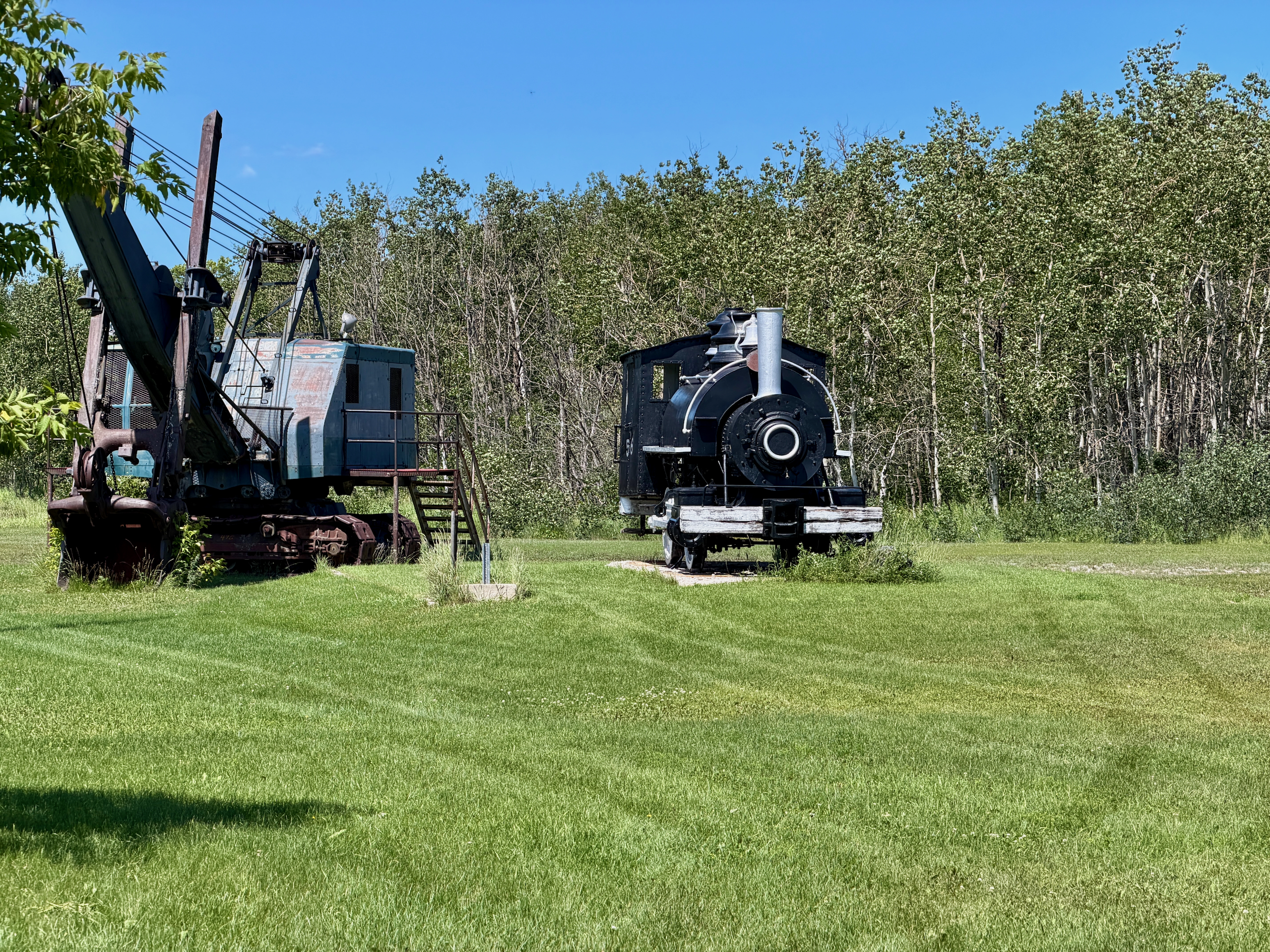
The village still has houses over a hundred years old, and a small heritage park displays an old locomotive and a quarry steam shovel that children love to clamber over; beside them is a plaque from the Portland Cement Association for the company’s spotless safety record. It’s also worth looking in on St. Helen’s Anglican Church, on Manitoba’s list of historic sites — next to it stands a stone cairn honouring veterans of the two world wars and the Korean War. Incidentally, another quarry southeast of the village is still active today (now under Graymont).
Practical tips
- Getting there: about 215–235 km northwest of Winnipeg. Take Highway 6 north, and roughly 31 km past Ashern turn onto Road 239 and drive ~20 km west — it leads straight through the village to the shore. The drive takes about 2.5–3 hours. Note: shortly after the turn off Highway 6, the pavement becomes potholed gravel, so ease off the throttle.
- Where to stay (and our tip — do stay over). Steep Rock is a bit far for a rushed day-trip dash, so we’d suggest staying at least one night at the Steep Rock Beach Park campground — for the sunset and the morning calm. It’s open roughly May to October, with unserviced, water-and-electric and fully serviced sites. Hotels are in Ashern, an hour away.
- Where to eat: the choice is slim. In summer, Gringo Loco’s runs seasonally — empanadas, burgers and margaritas, sometimes with live music. There’s no grocery store in the village, so bring supplies.
- Safety: stay at least a metre back from the cliff edges — the limestone can crumble; watch for crevices hidden in the grass along the tops. Wear closed shoes, and pack separate water shoes for the water (Crocs chafe on the dusty trail — tested by us).
When to go
In summer, for swimming, kayaking and warm rock; in spring, for the crocuses and first sun; any time, for a sunset that really is special here. On a weekday there are even fewer people than on weekends.
| Detail | Info |
|---|---|
| What it is | A village with limestone cliffs and a flooded quarry on Lake Manitoba |
| Where | RM of Grahamdale, ~215–235 km NW of Winnipeg |
| Getting there | Hwy 6 N → PR 239 (last stretch is gravel) |
| Activities | Trails, caves, kayak/canoe, swimming, photography, wildlife |
| History | Canada Cement Lafarge quarry, 1913–1992; St. Helen’s Anglican Church |
| Staying | Steep Rock Beach Park (camping, ~May–October) |
| Food | Gringo Loco’s (seasonal); no store — bring your own |
| Season | Summer (best at sunset) |
Read next: our Steep Rock day trip, St. Laurent Big Tree Park, and the similar Reynolds Ponds quarry day trip.