

Our friends said it wasn’t worth it. Naturally, we went to see for ourselves — and we’re glad we did.
As always, we picked a Sunday for our latest “little trip” around Manitoba. This time the target was Steep Rock — a tiny village on the east shore of Lake Manitoba that we’d heard mixed things about. Our friends had already been and come away unimpressed: a long drive, they said, with not much to see. But we wouldn’t be us if we didn’t check for ourselves. Spoiler: this time our instinct didn’t let us down.
The trip at a glance
| Detail | Info |
|---|---|
| Route | Winnipeg → Steep Rock (Lake Manitoba) |
| Distance | ~234 km one way |
| Drive time | 2.5–3 hours |
| Length | 1 day (better with an overnight) |
| Road | Hwy 6 N → 239; last stretch is potholed gravel (keep to 40–60 km/h) |
| Bring | Water, snacks, mosquito spray, sunscreen, water shoes, offline trail map |
| Activities | ~4.4 km trail, swimming, turquoise quarries, sunset photos |
| Overnight | Steep Rock Beach Park campground (~May–October) |
| Season | Summer |
The drive: 234 km of “Canadian logic”
We set off at nine in the morning, stocked up in advance on the essentials — coffee and snacks for the road, mosquito spray and sunscreen (in July you genuinely need both here). Steep Rock is about 234 km from Winnipeg one way. By Canadian standards that’s not even “far”: compared with our European marathons, it’s more of a pleasant morning cruise. But the comparison writes itself — in most of Europe, cover that distance and you’d already be in another country, while in Canada you’re all but guaranteed not to leave your own province. That’s Canadian geography for you. The landscape gradually shifts along the way: the flat fields of the Red River Valley give way to the mosaic of lakes, marsh and open woodland of the Interlake — the region wedged between Lakes Winnipeg and Manitoba.
The road is mostly flat and calm, passing small towns now and then like Ashern and St. Laurent. On that last one, by the way, we have a separate post about the Big Tree Park in St. Laurent — a good excuse to break the drive with one more stop.
On arrival: an unexpected quiet
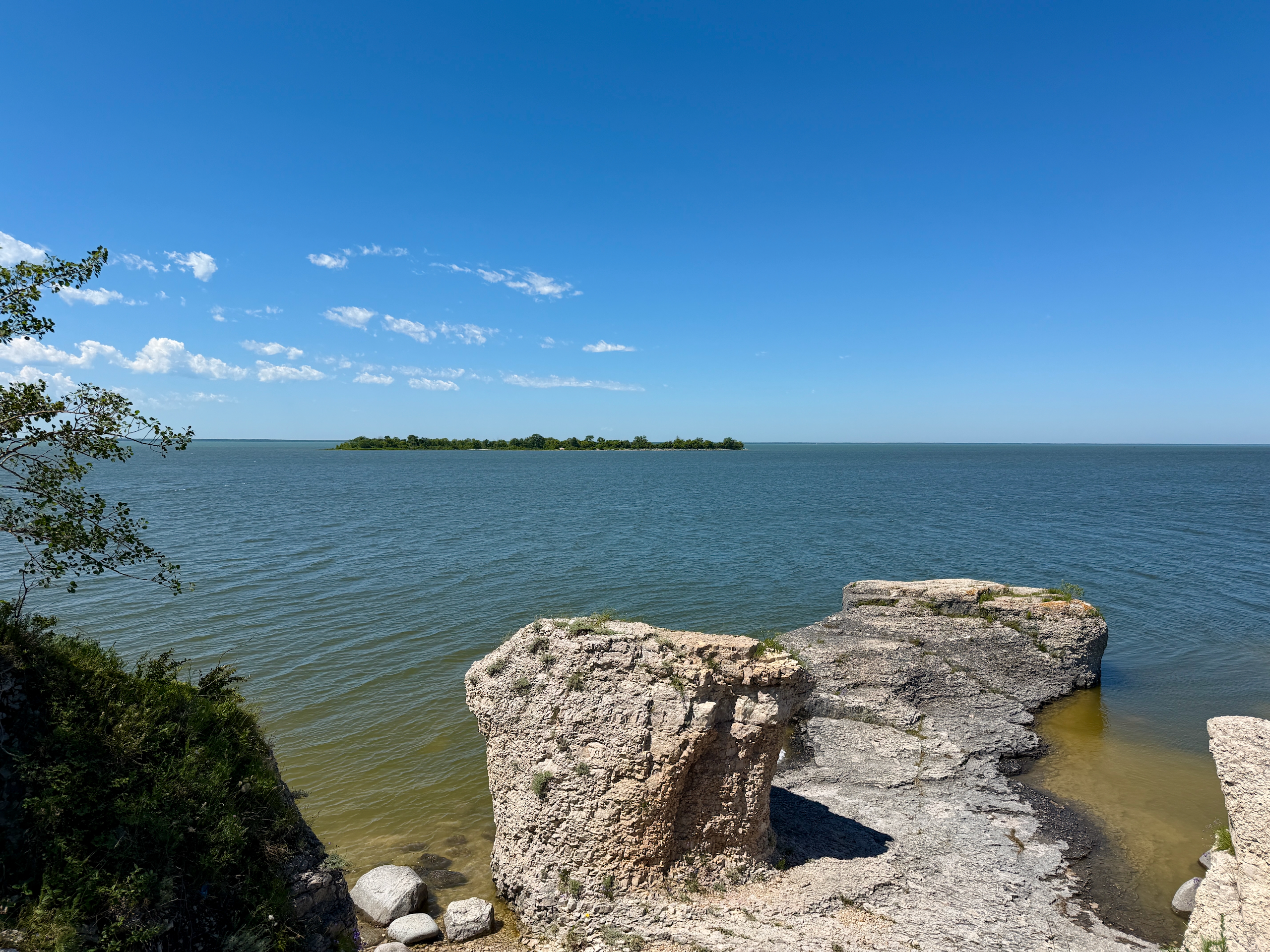
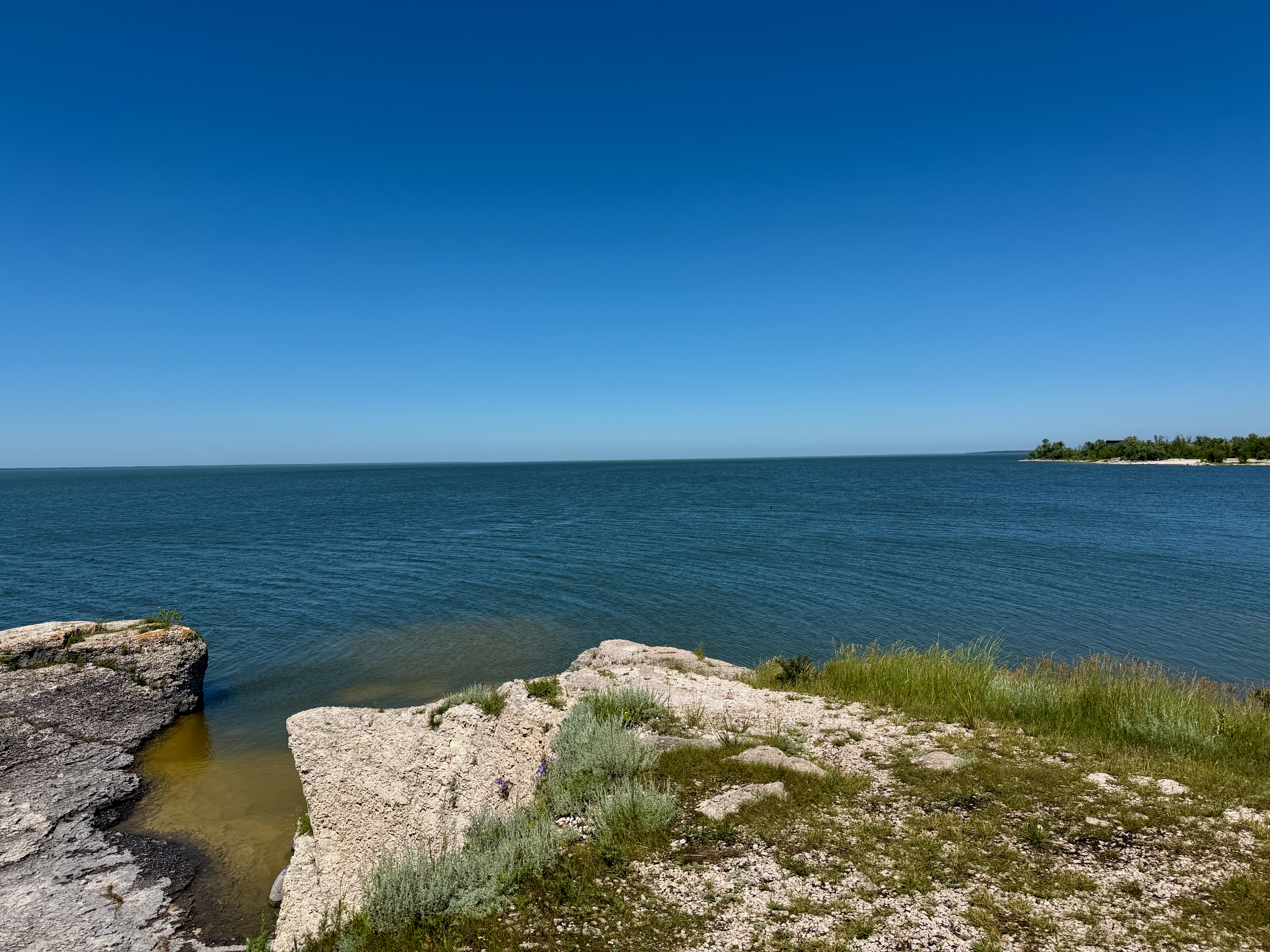
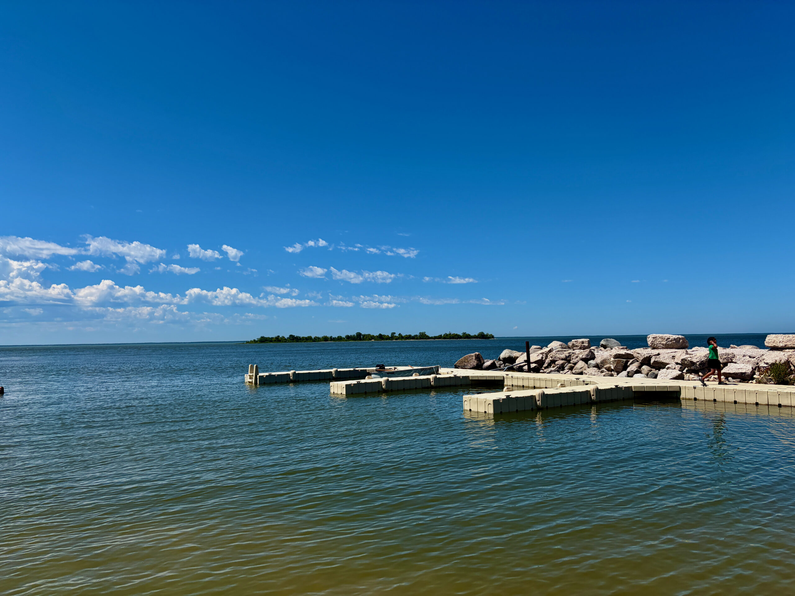
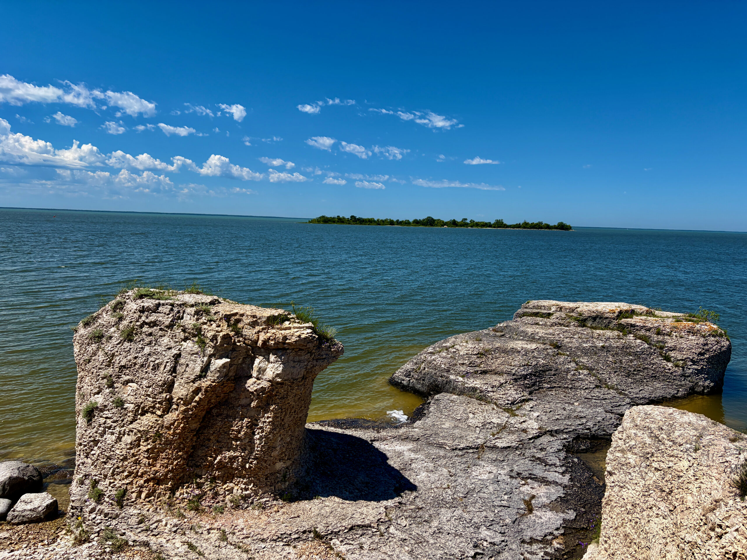
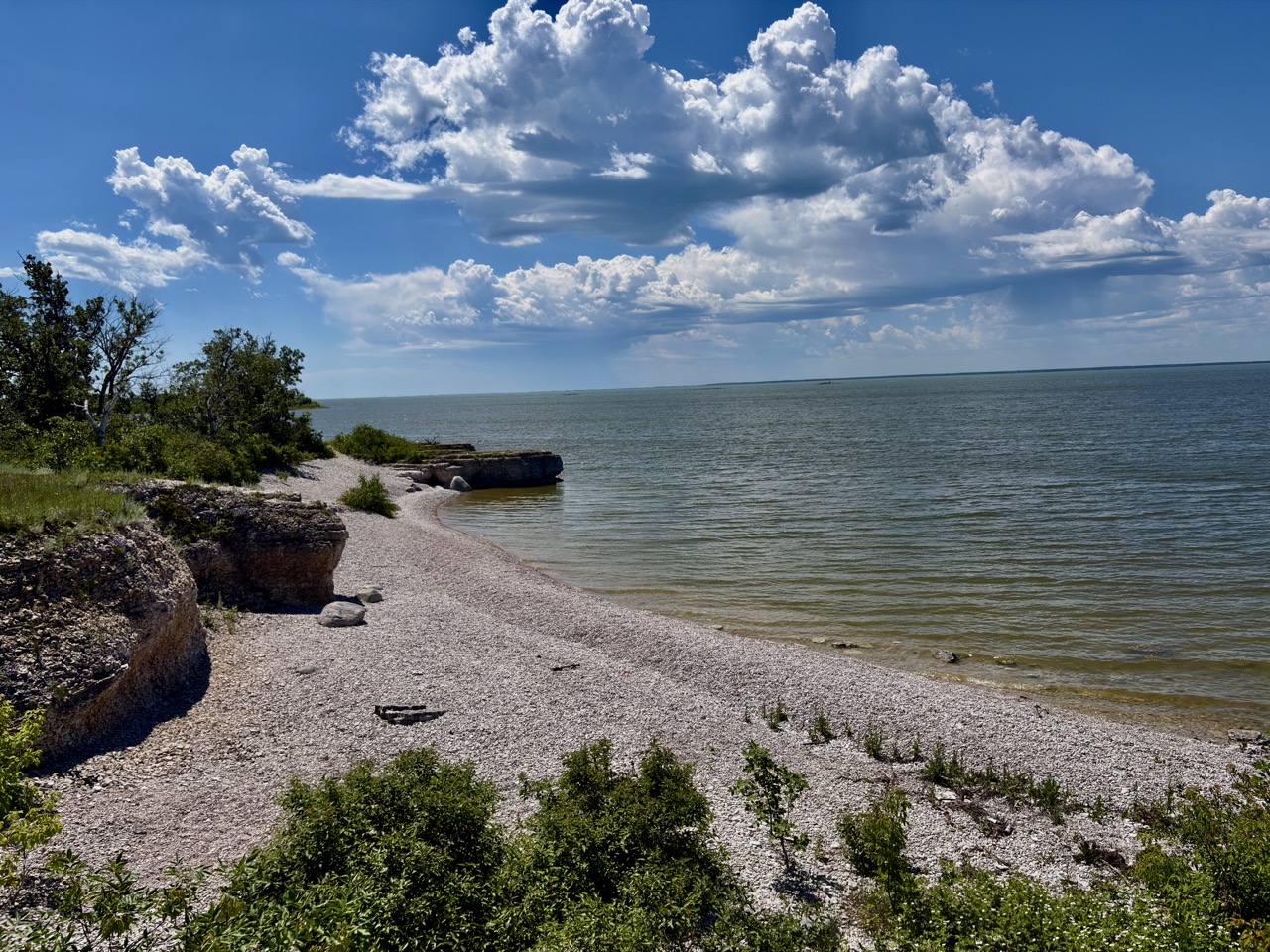
We reached Steep Rock around noon. There’s free parking at Steep Rock Beach — that’s where we left the car, then headed toward the beach and set off along the Lake Manitoba shore on the Little Steep Rock Trail. The first thing that struck us: for such a scenic place, there were remarkably few people. Whether it was the distance from the big cities or the sheer heat of the day driving everyone into the shade, we more or less had this shoreline to ourselves.
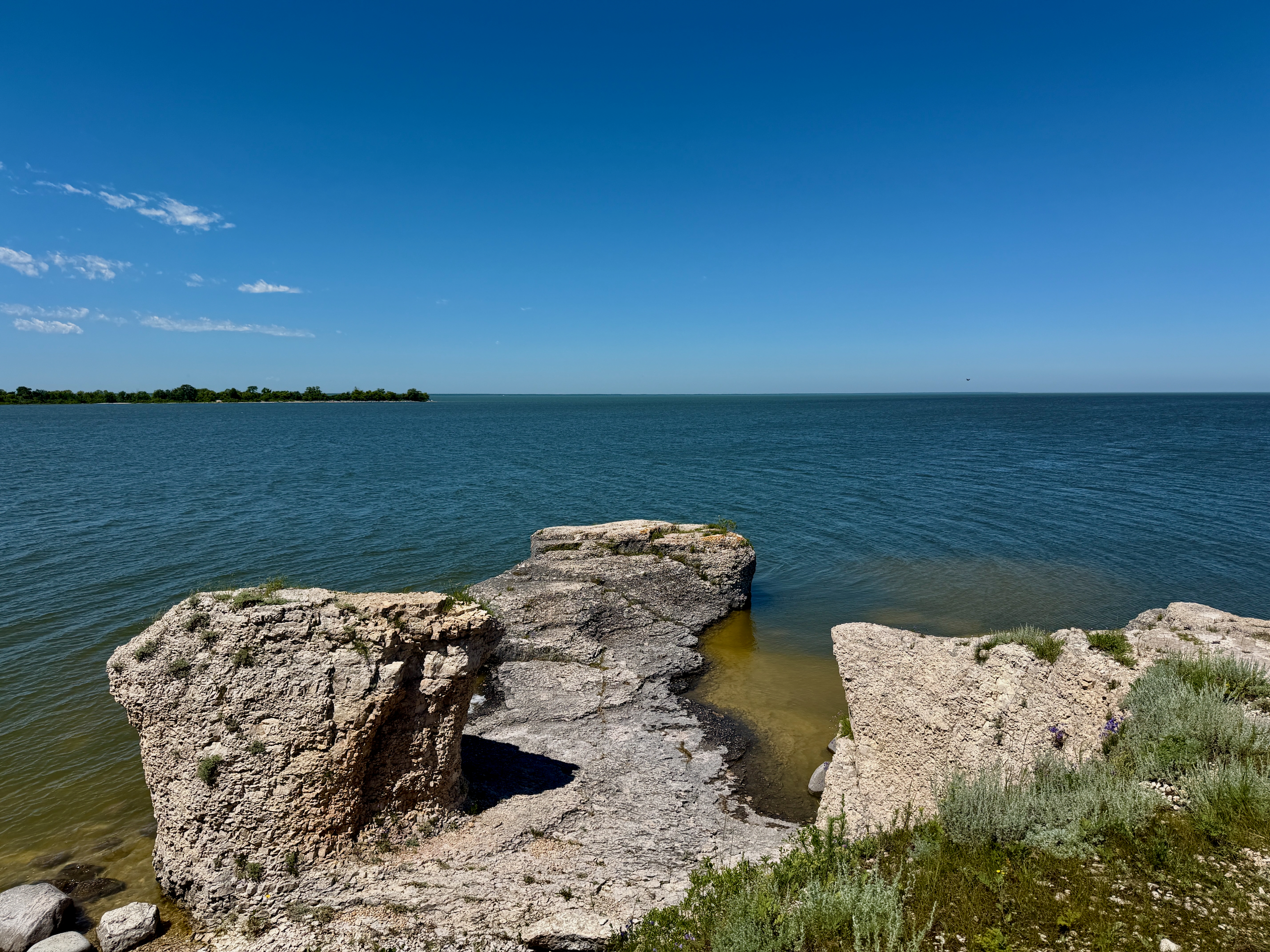
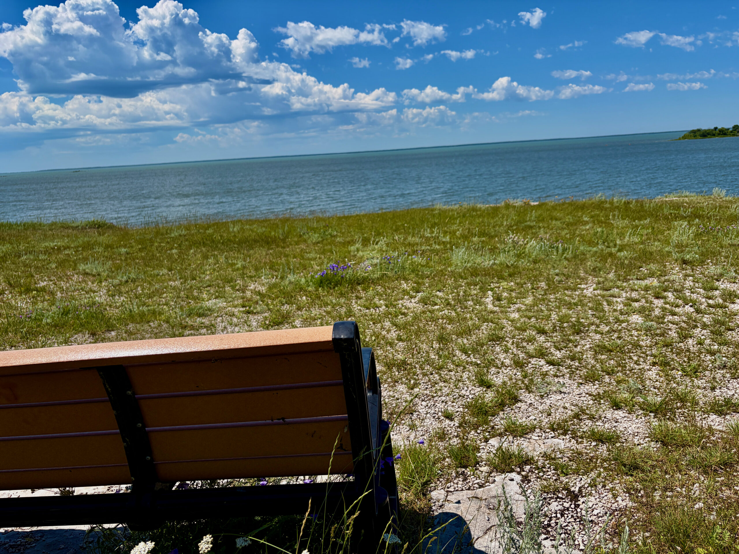
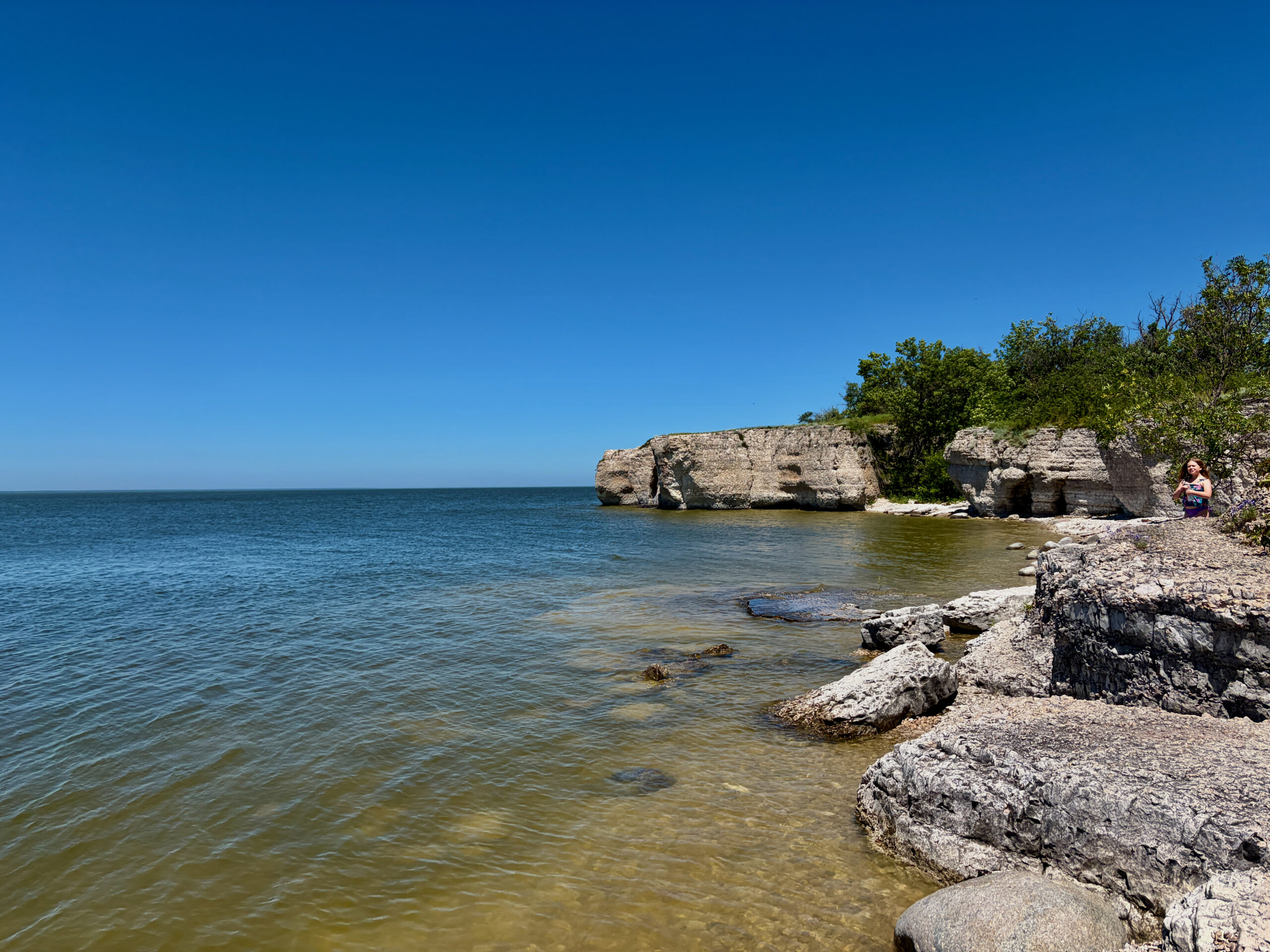
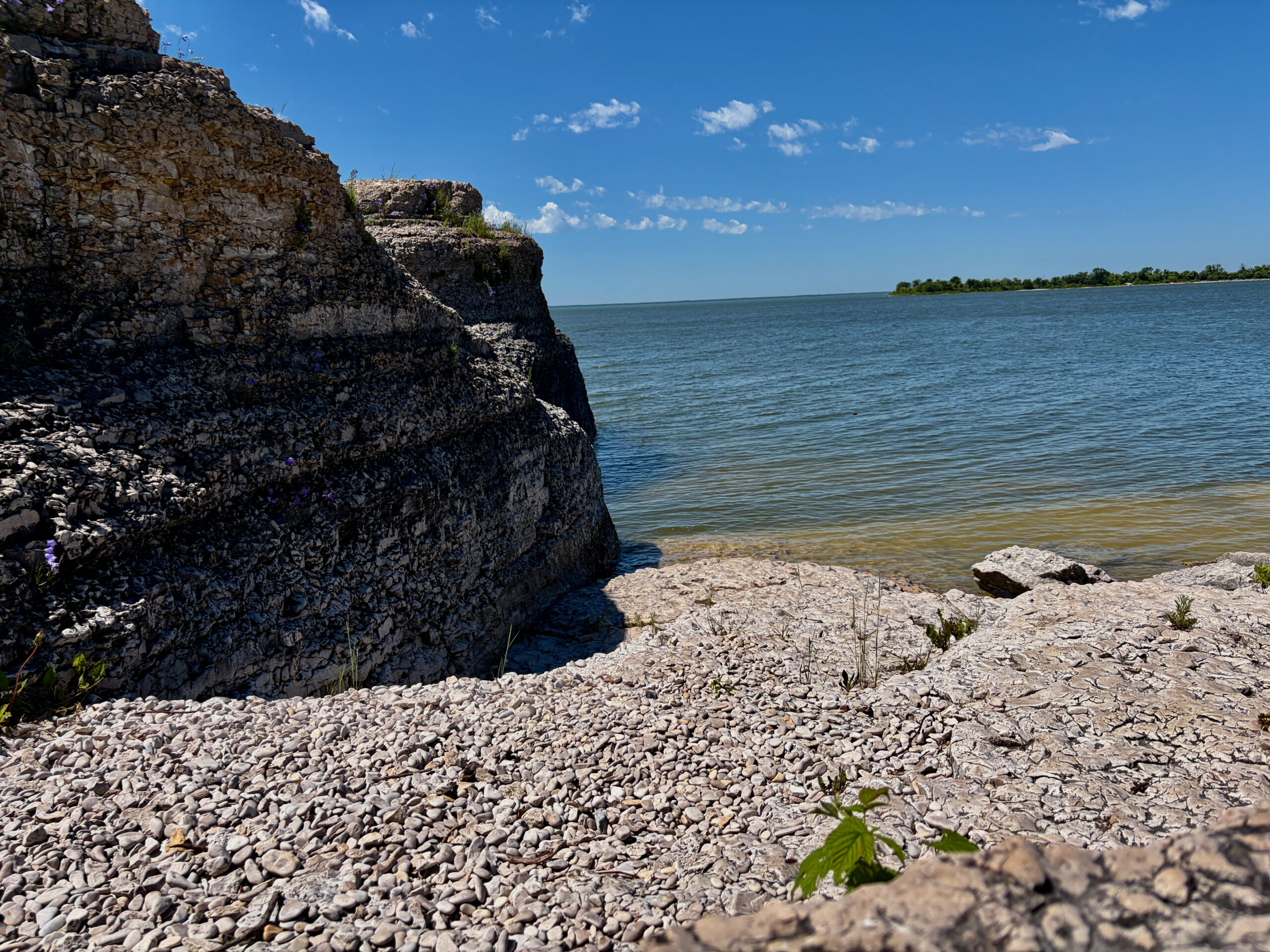
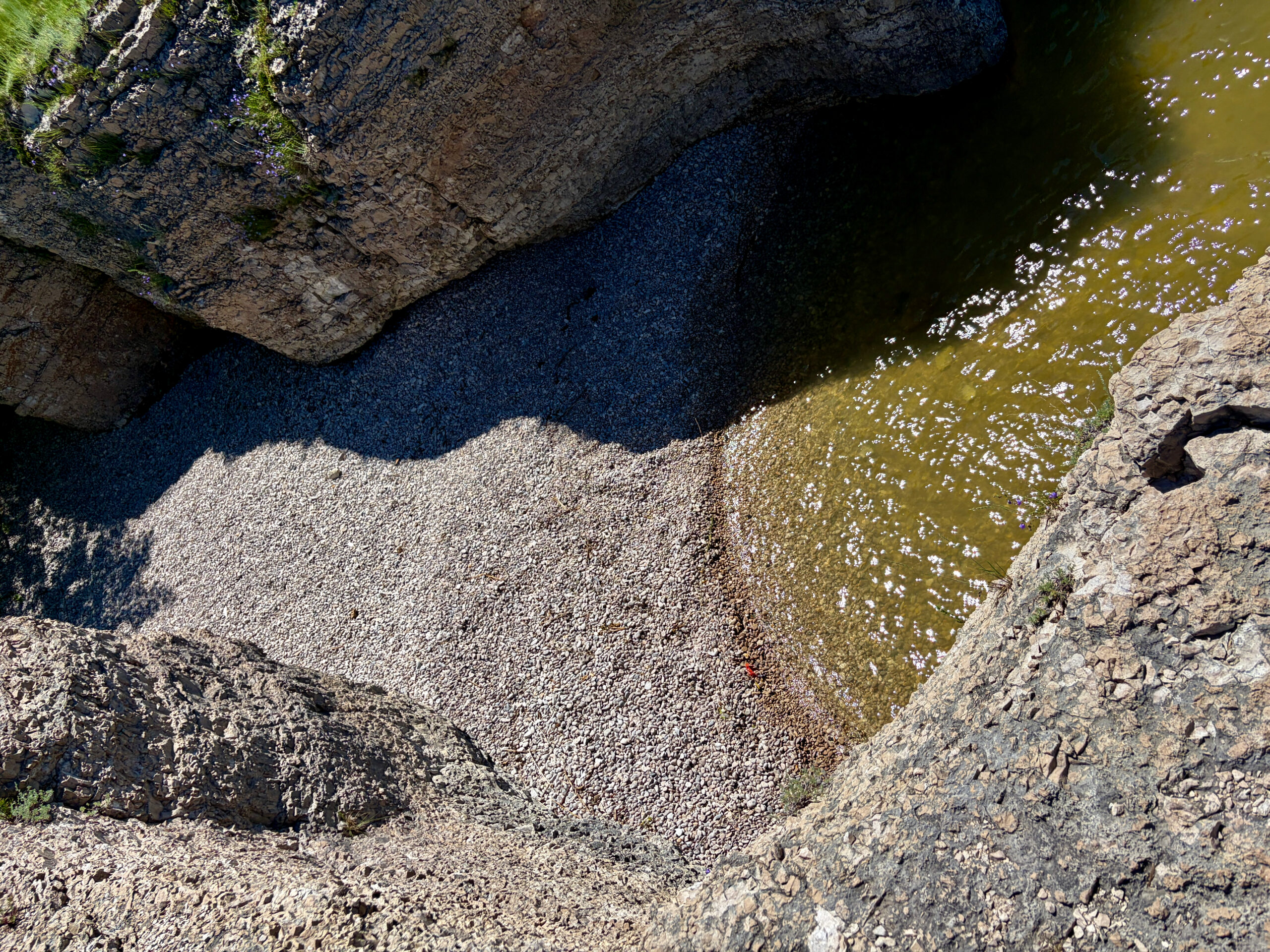
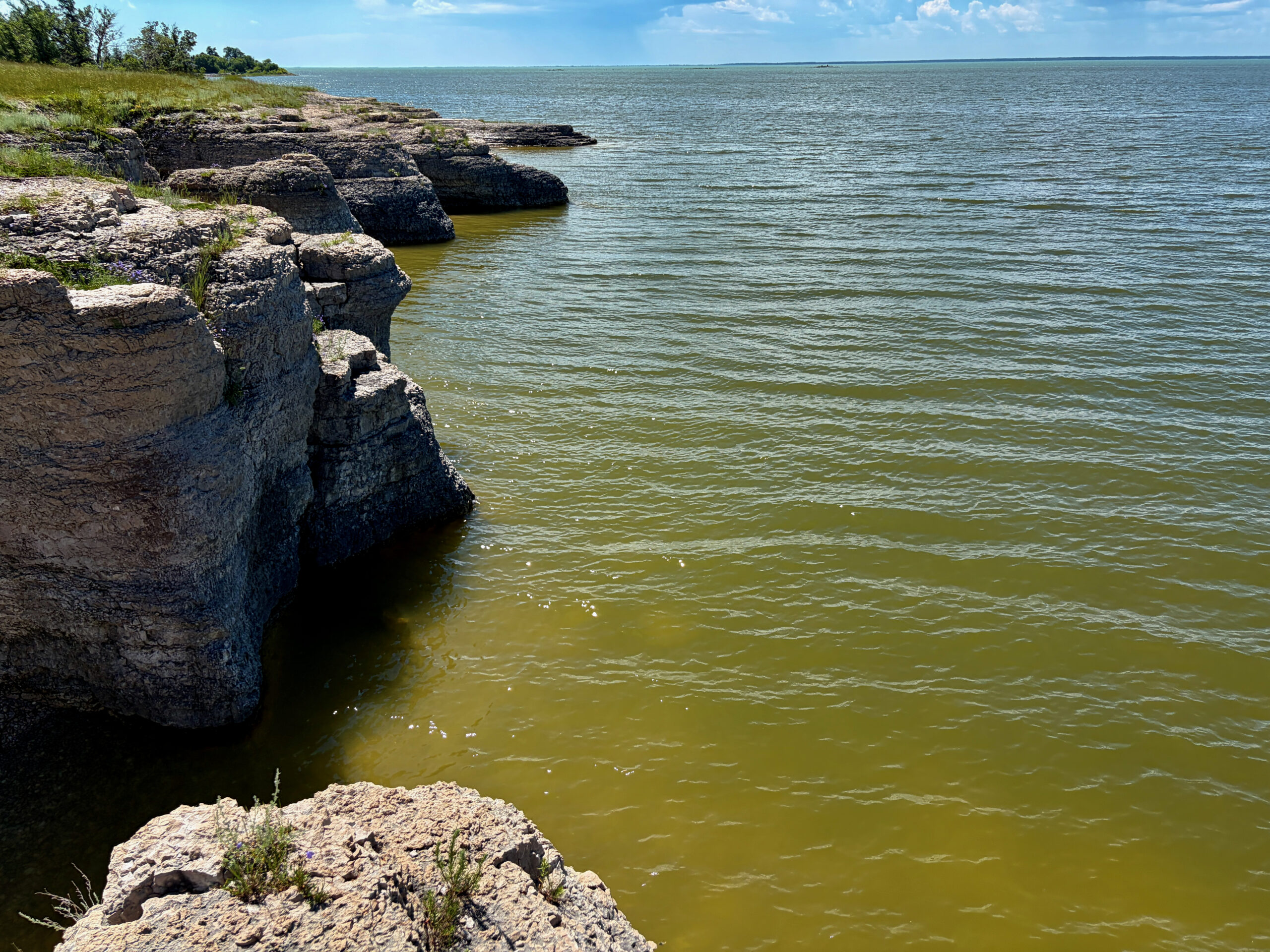
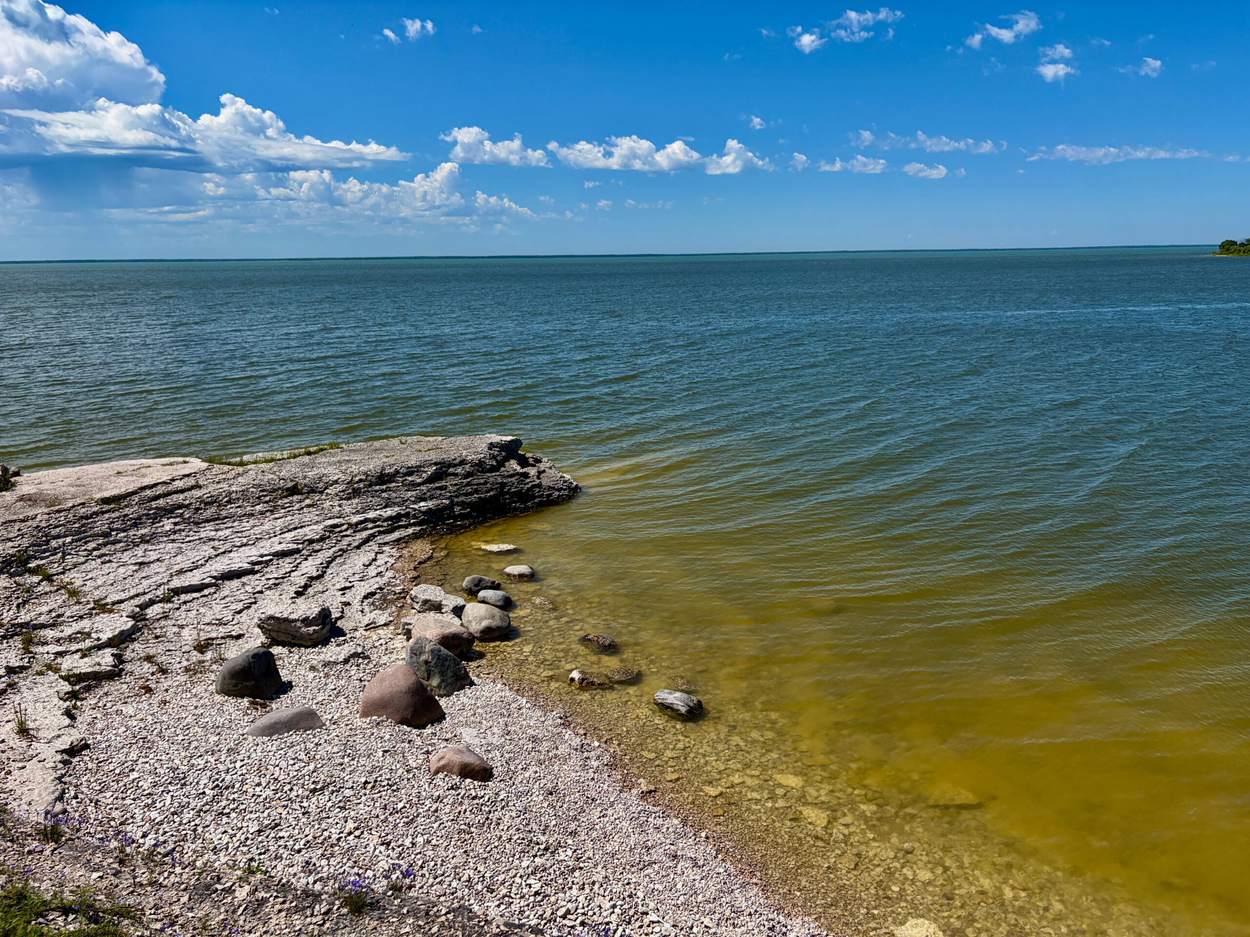
This is where the nickname “Manitoba’s Mediterranean” starts to make sense. Pale limestone cliffs run along the shore — the remnants of an ancient seabed, carved by the waves over millennia — and in places the water beside them takes on such a turquoise-emerald hue that for a moment you forget you’re in a prairie province three hours from Winnipeg. There are even benches set out atop the bluffs so you can simply sit and look out over the lake; they say it’s best at sunset, when the cliffs face straight into the setting light.
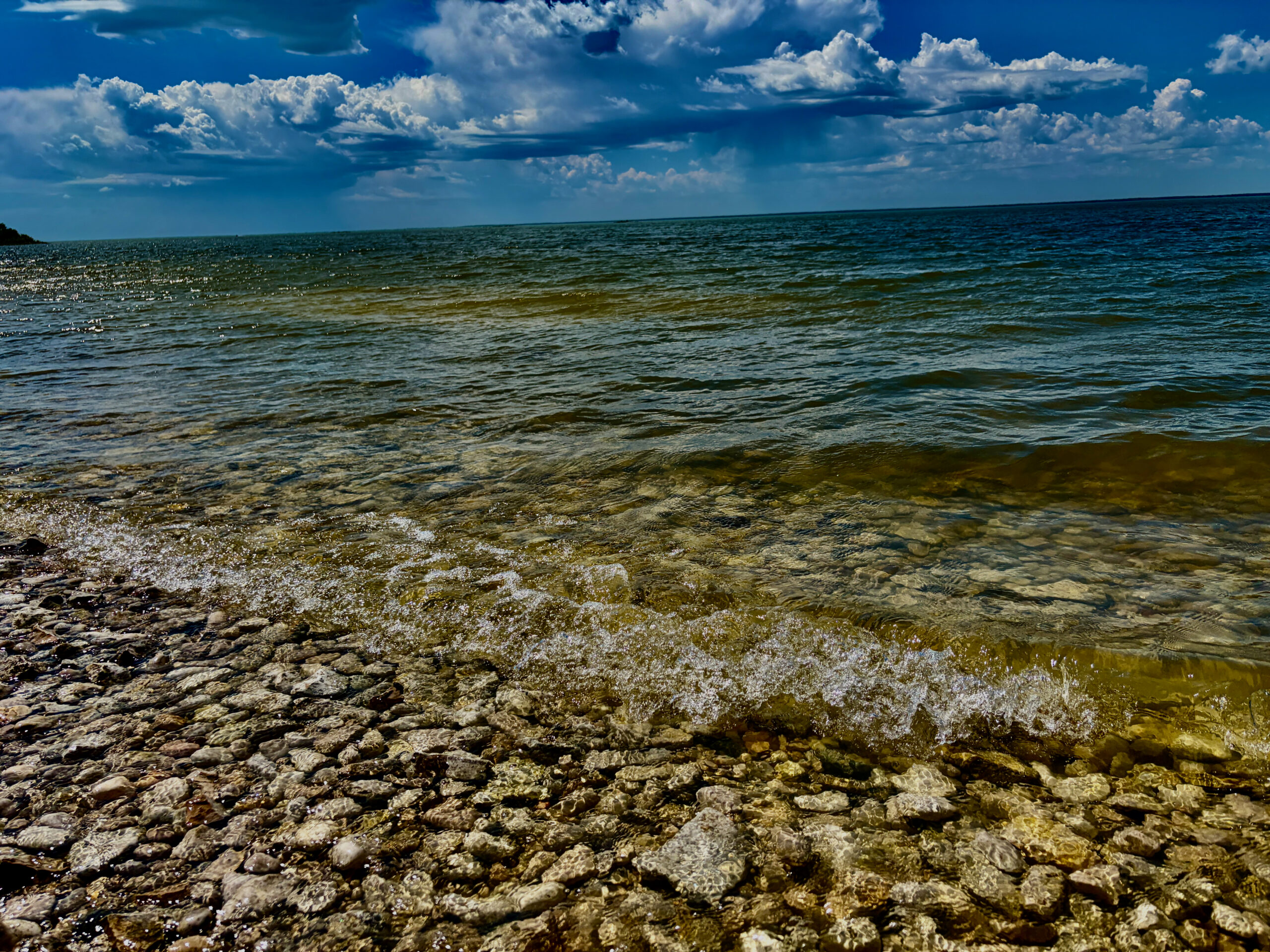
There are several swimming spots along the trail, and almost everywhere there are signs saying no jumping into the water: near shore it can be shallow and full of rocks, so diving in headfirst is a bad idea. If you go left from the main beach (where the boats launch) along the trail, you’ll find another, more hidden spot; and further still, a truly tucked-away nook behind the rocks. It’s exactly these corners that make Steep Rock special.
The turquoise quarries
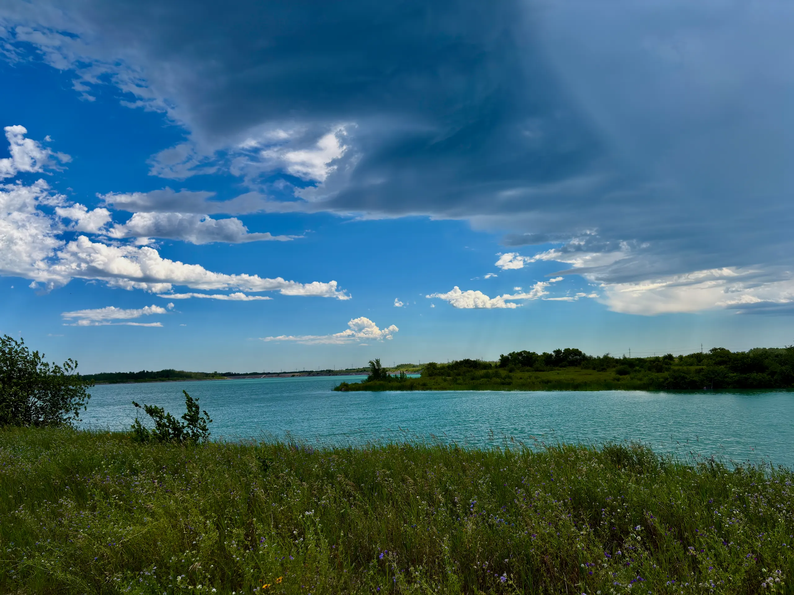
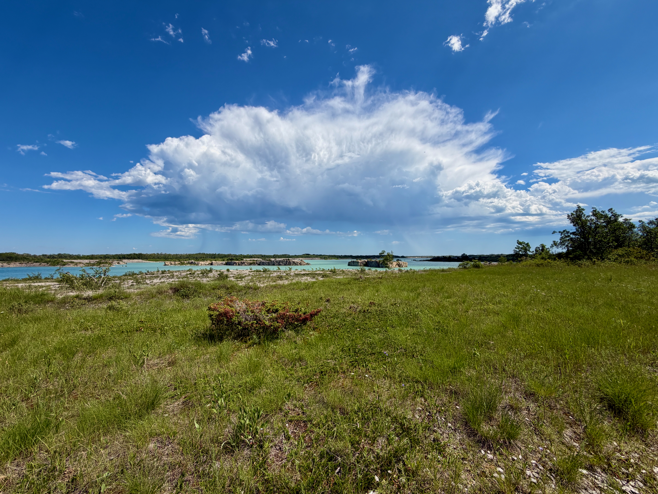
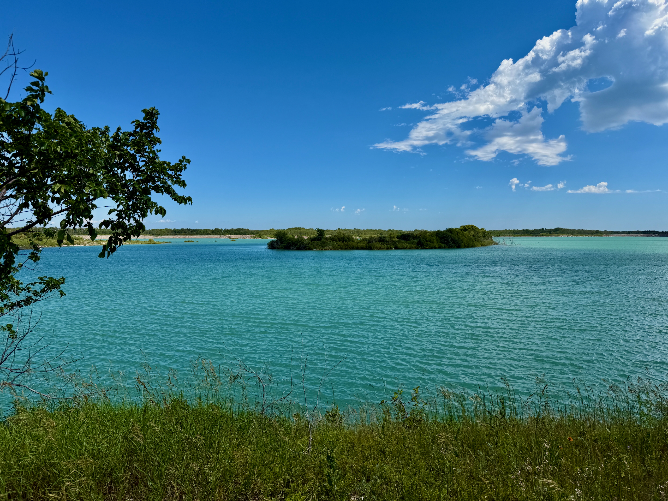
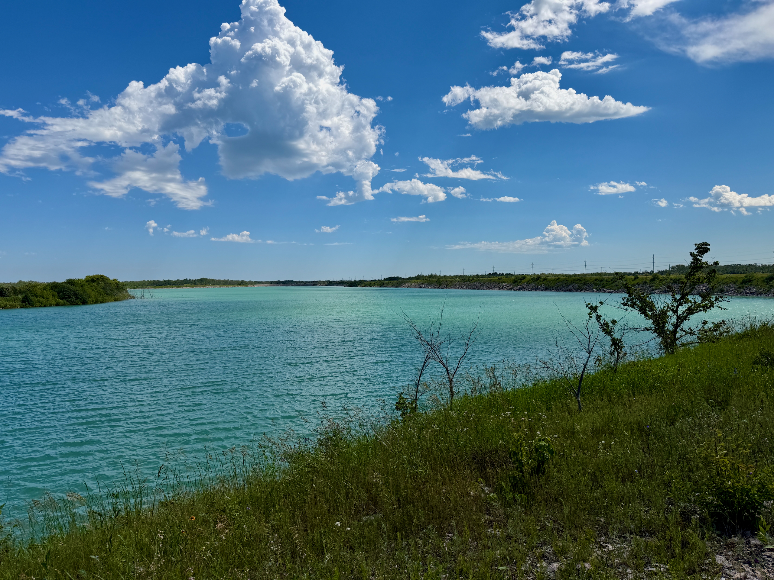
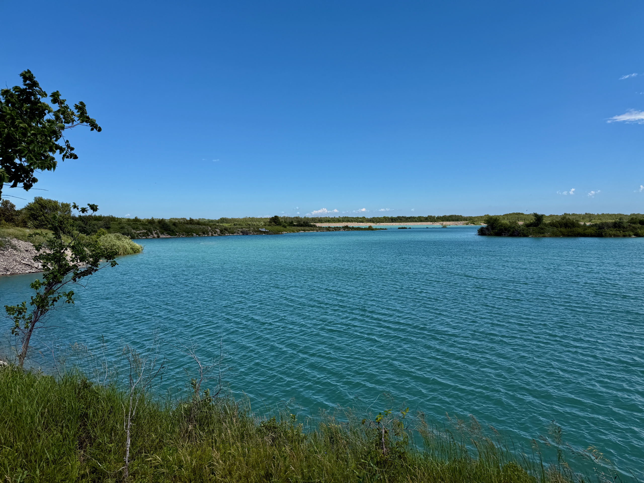
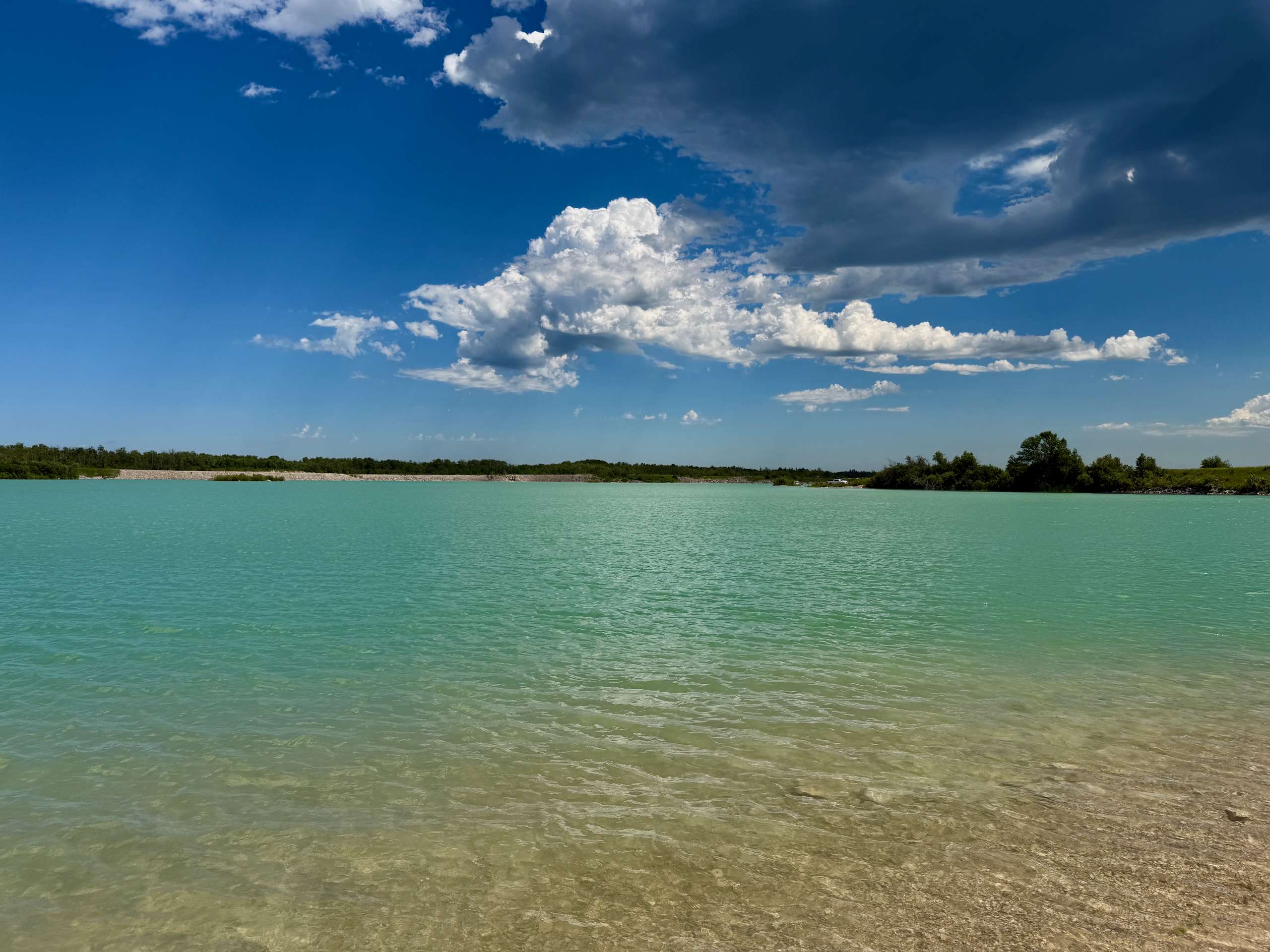
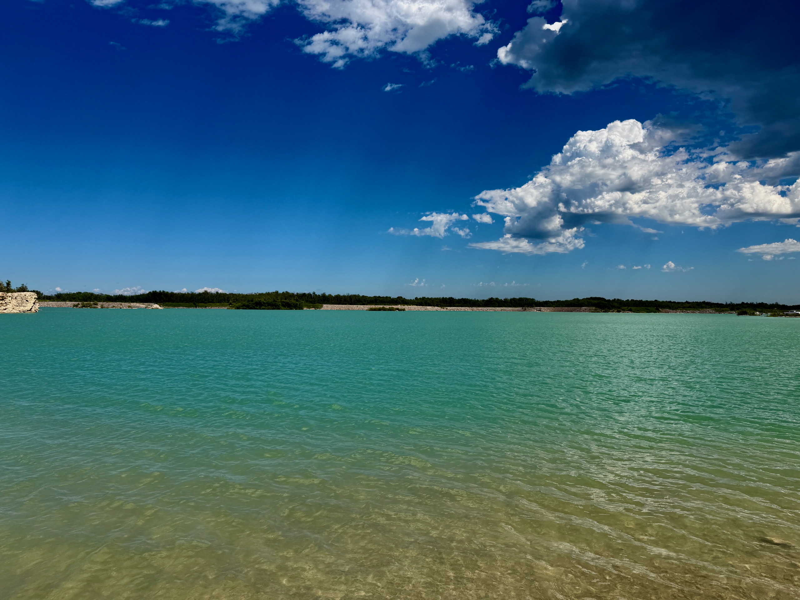
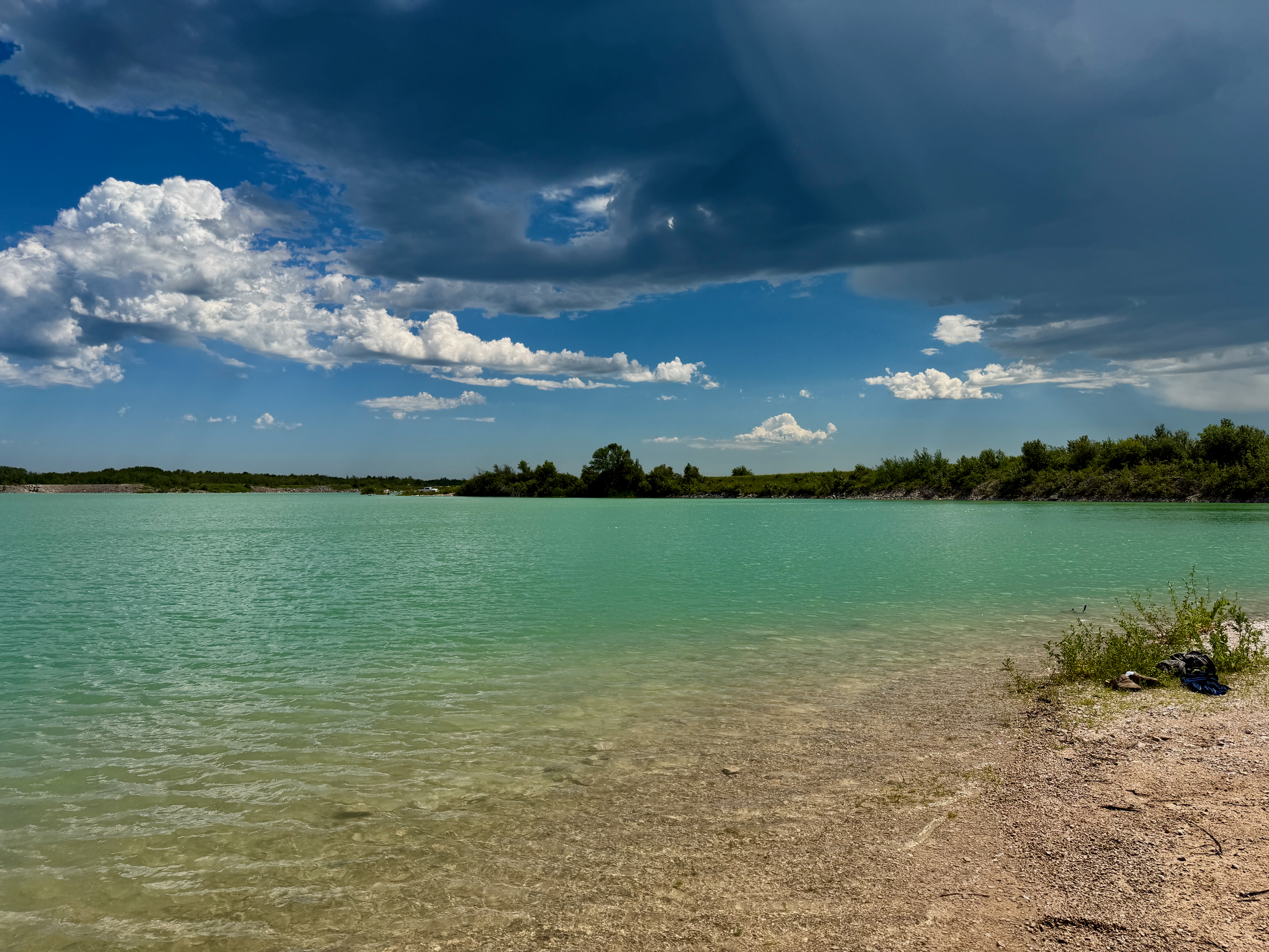
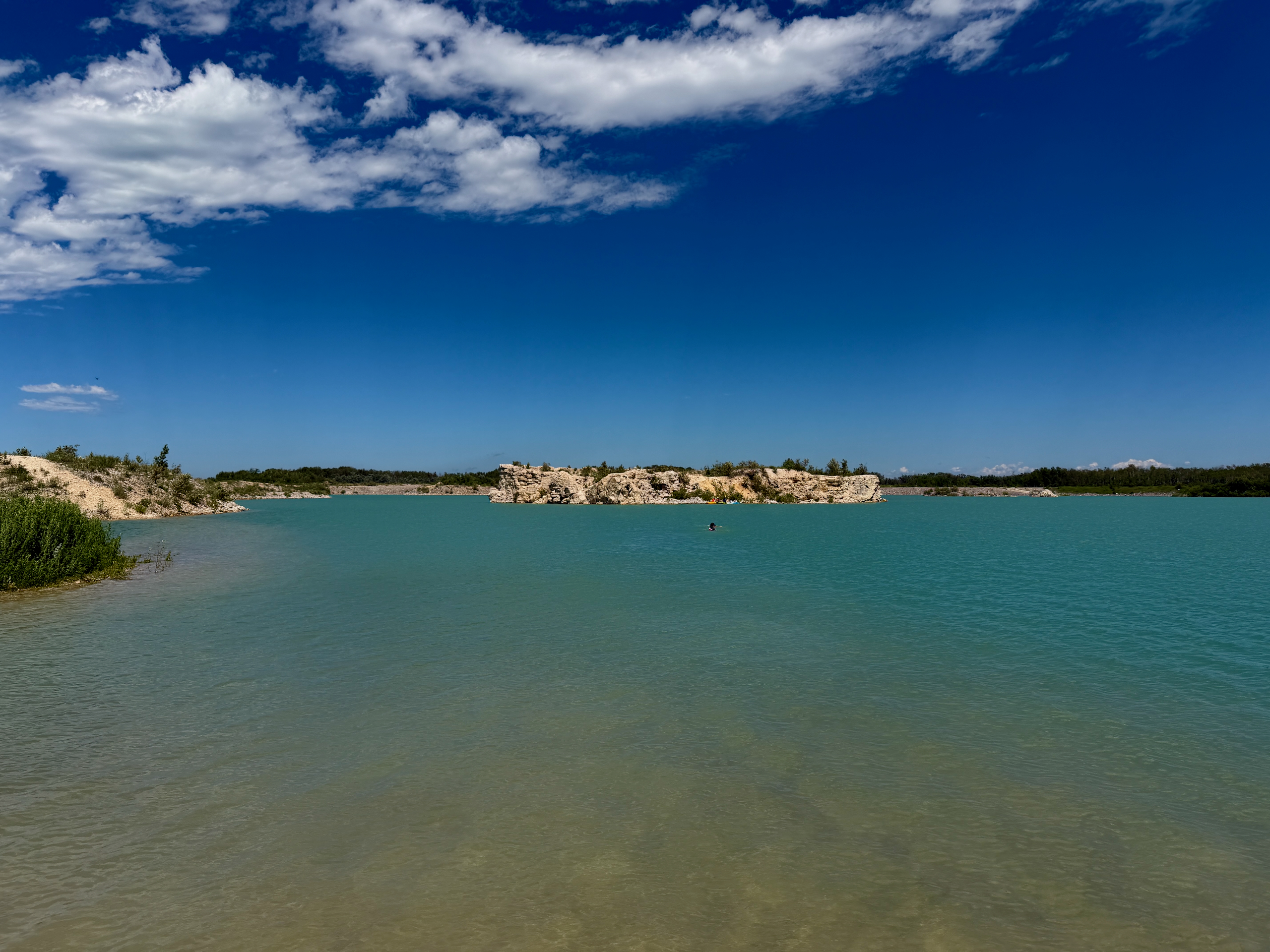
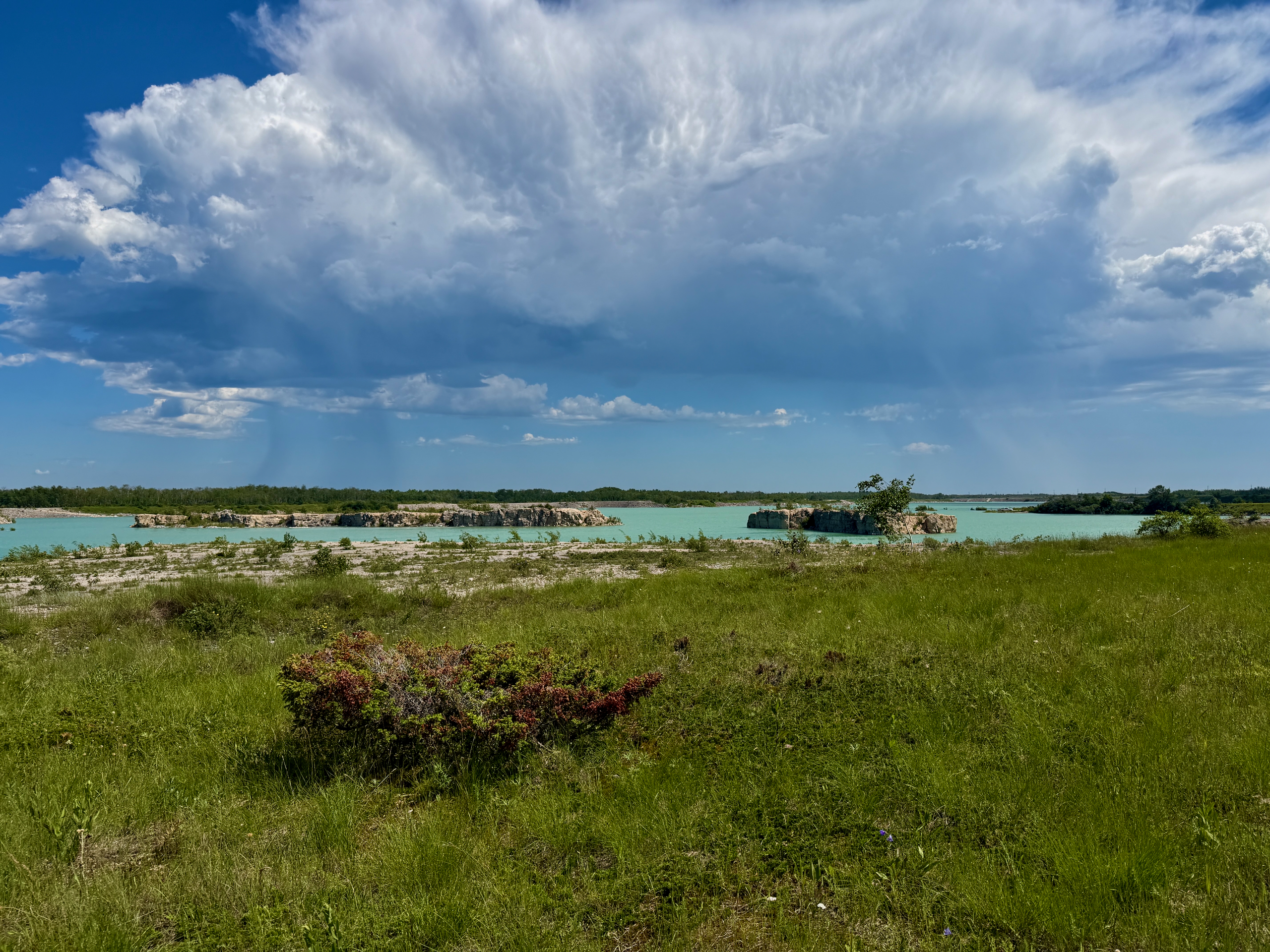
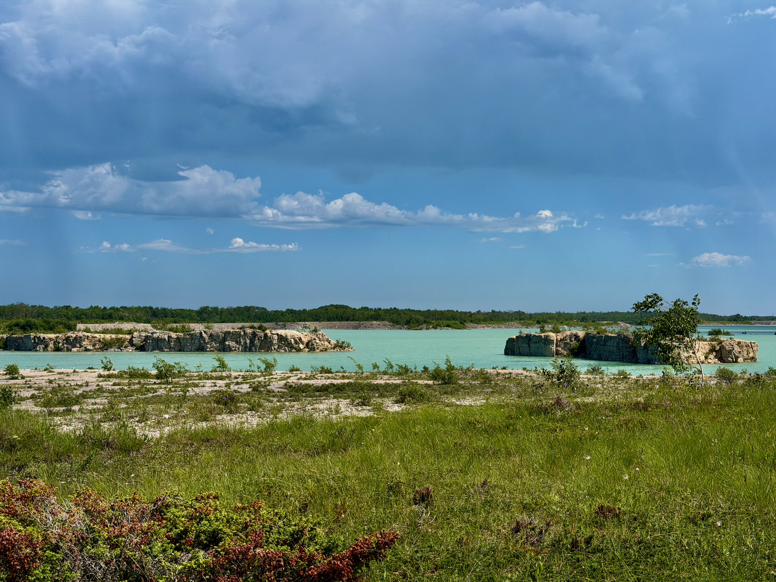
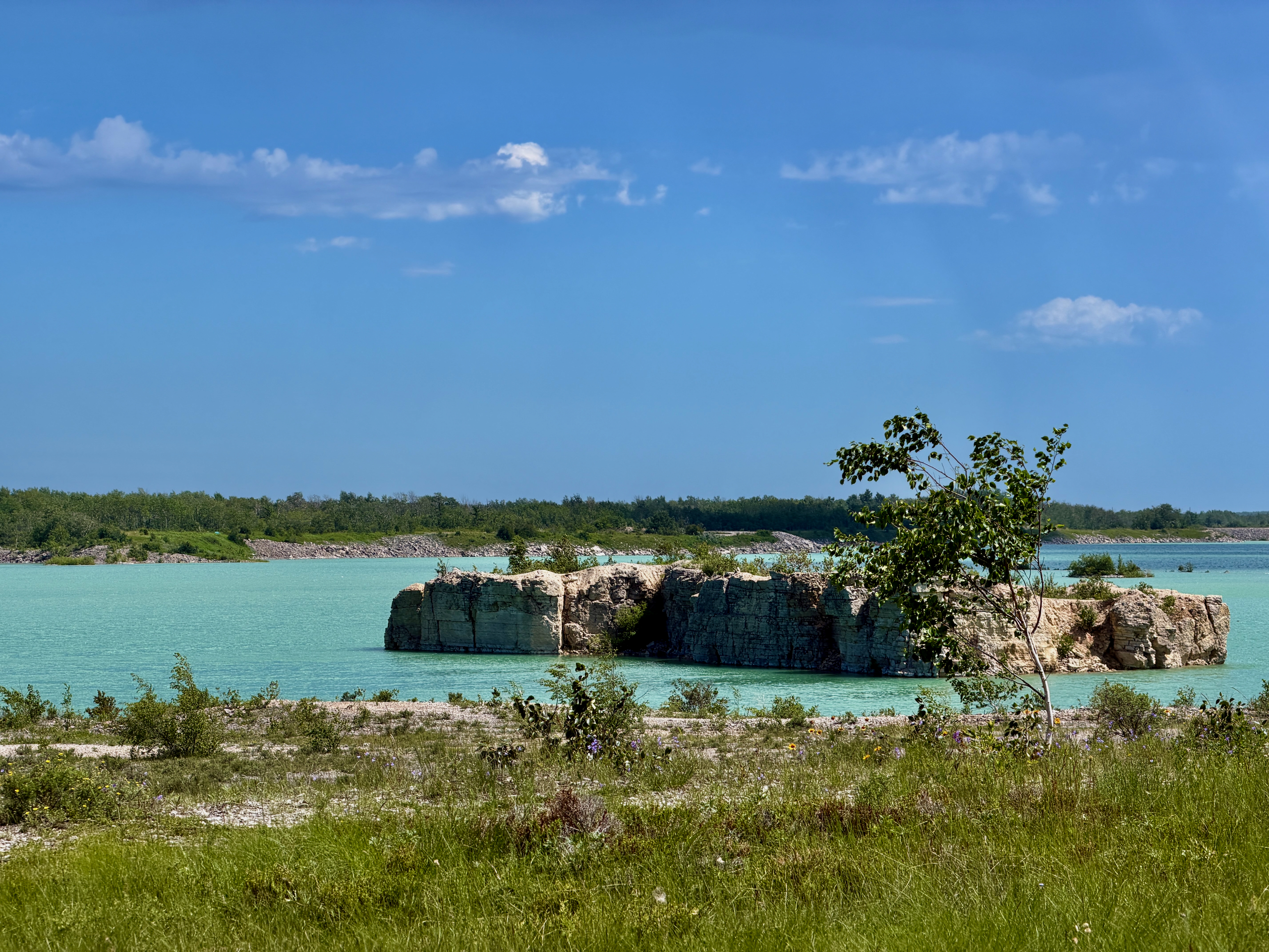
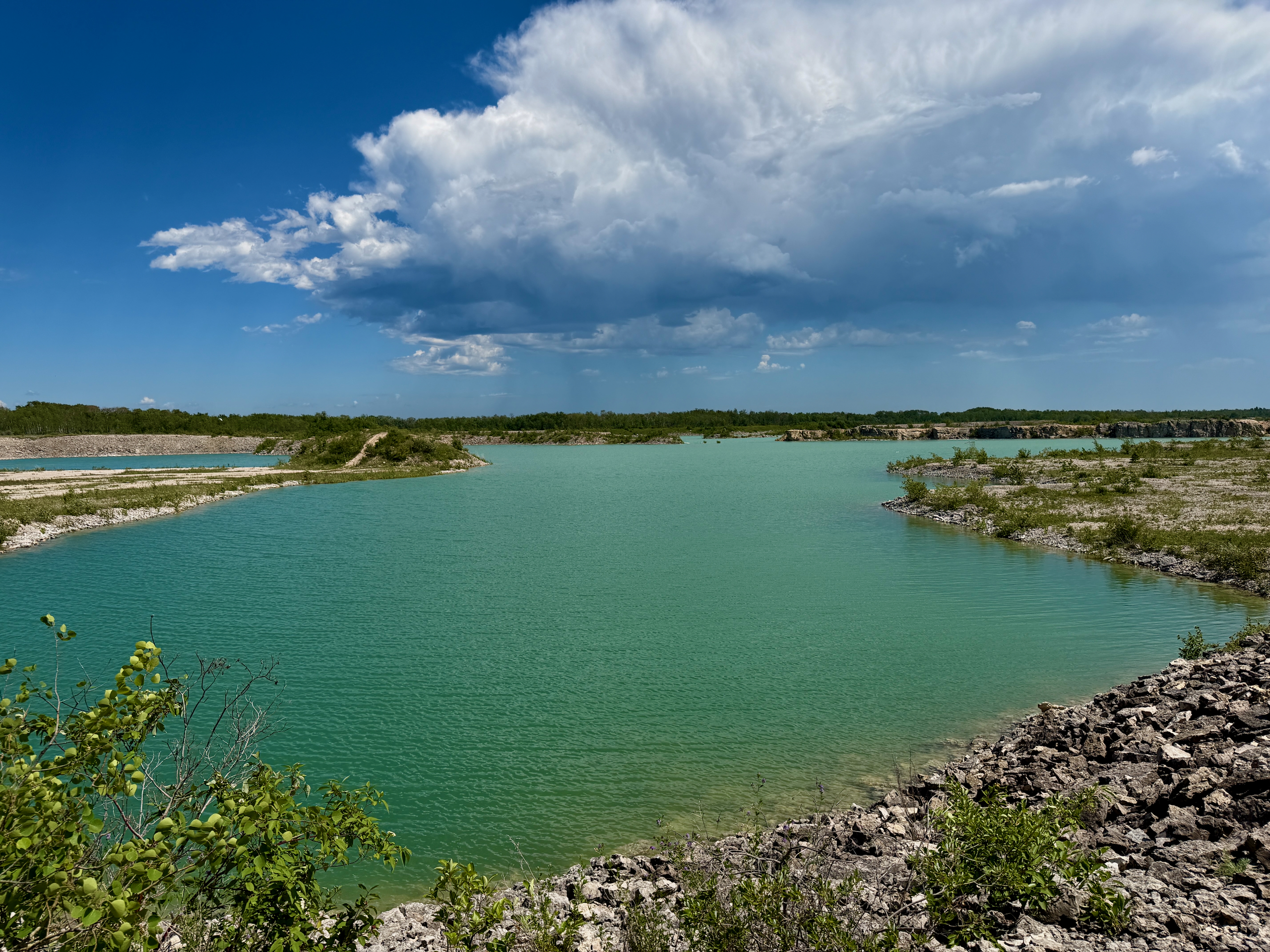
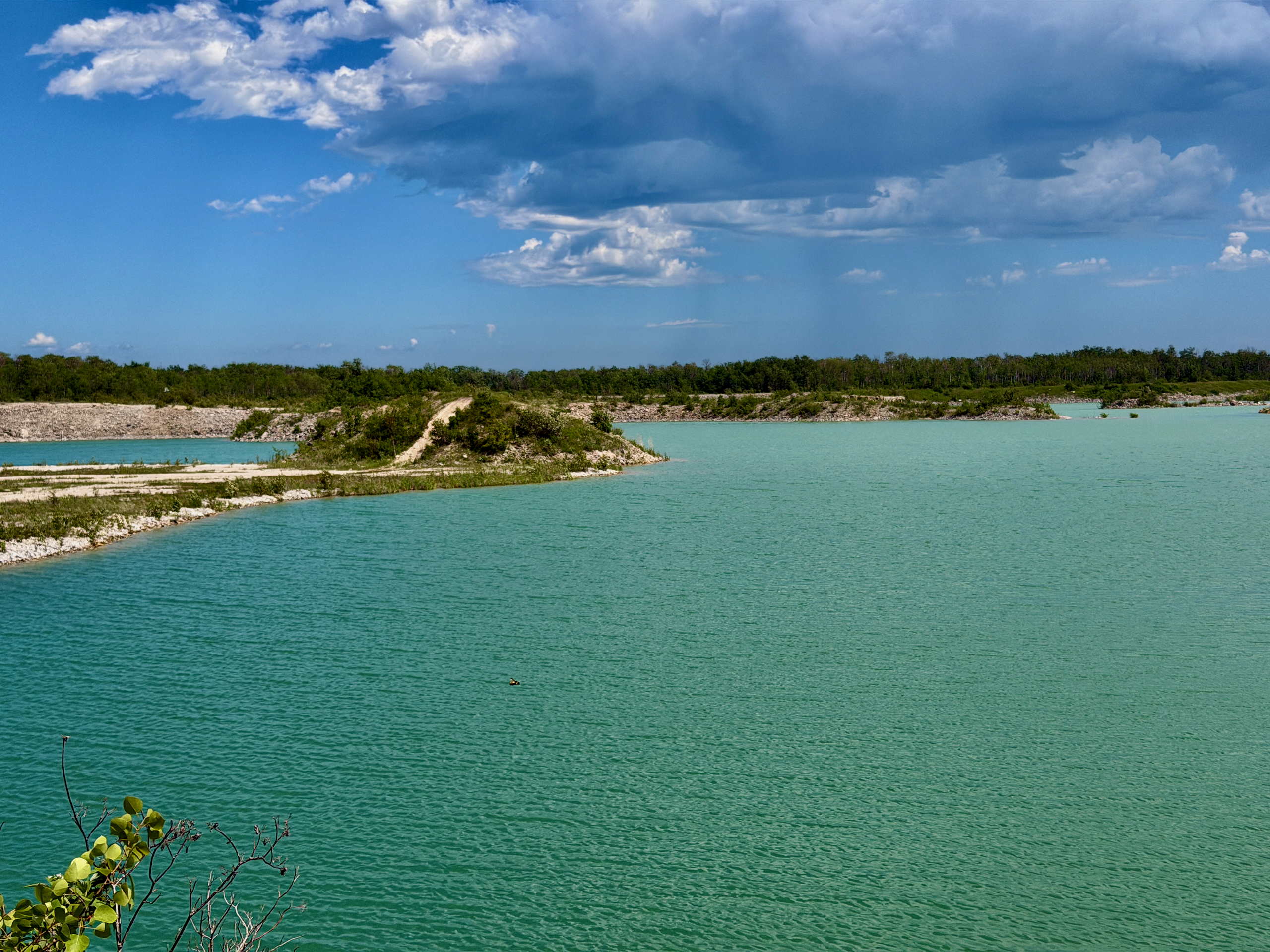
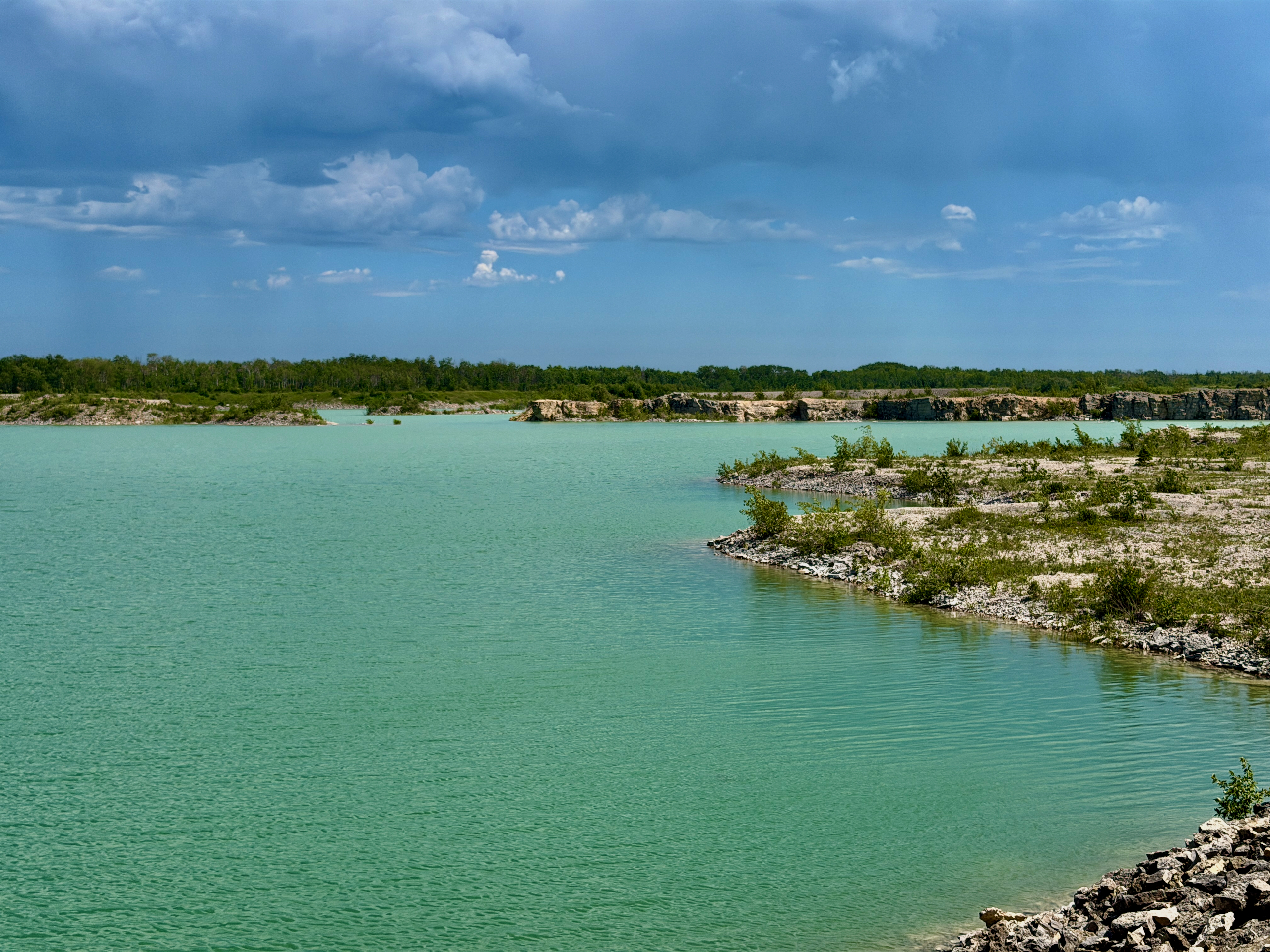
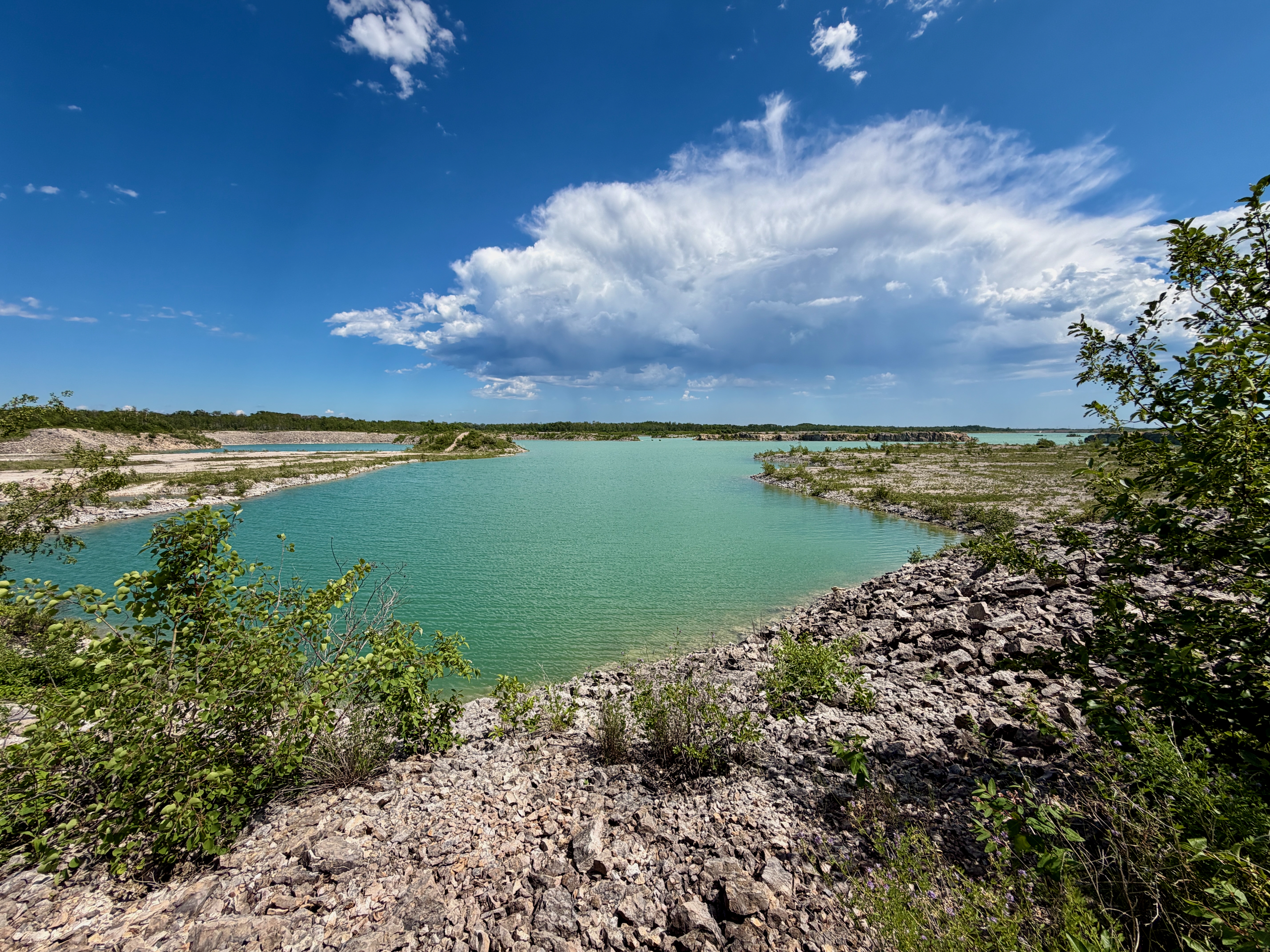
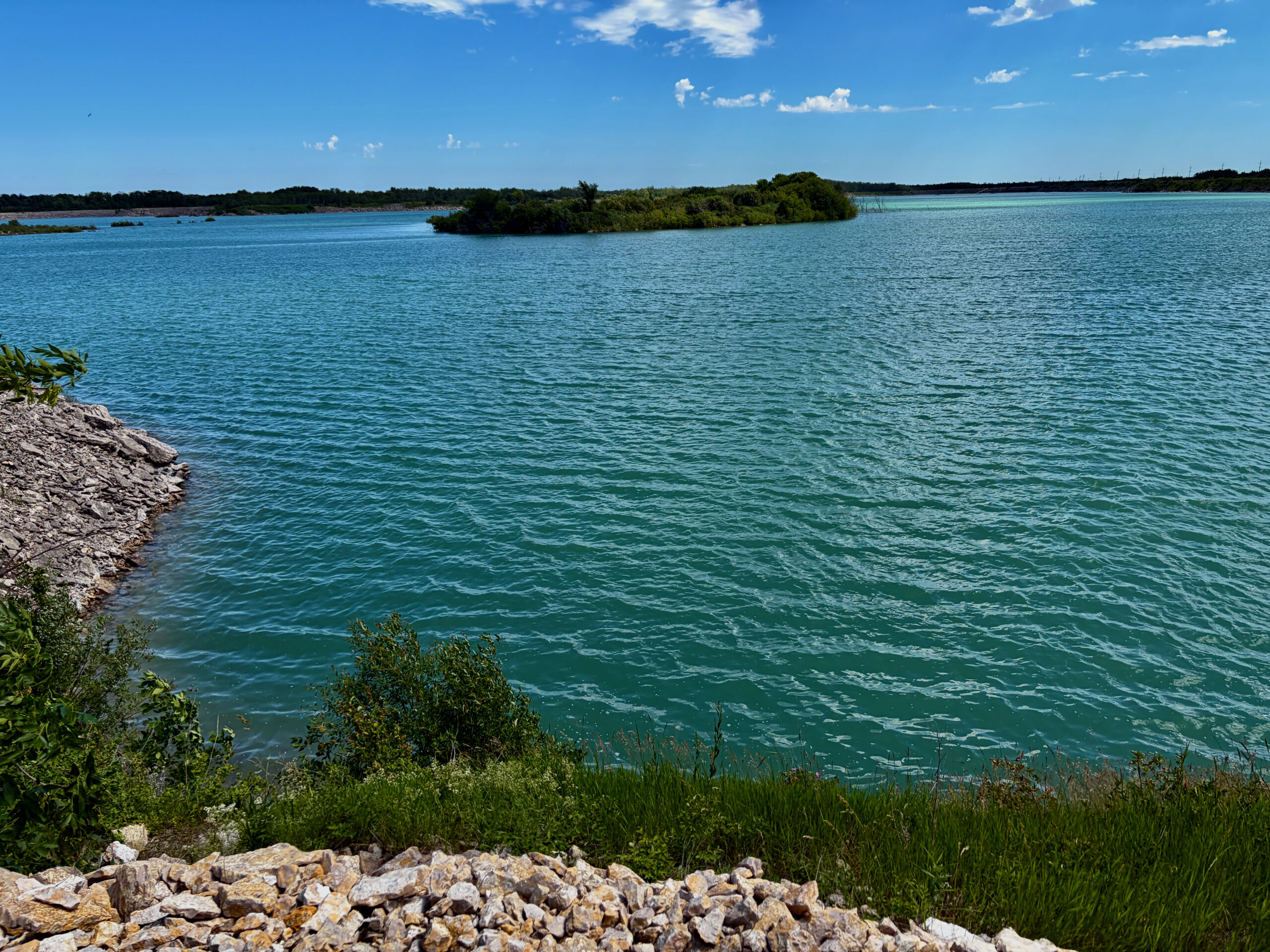
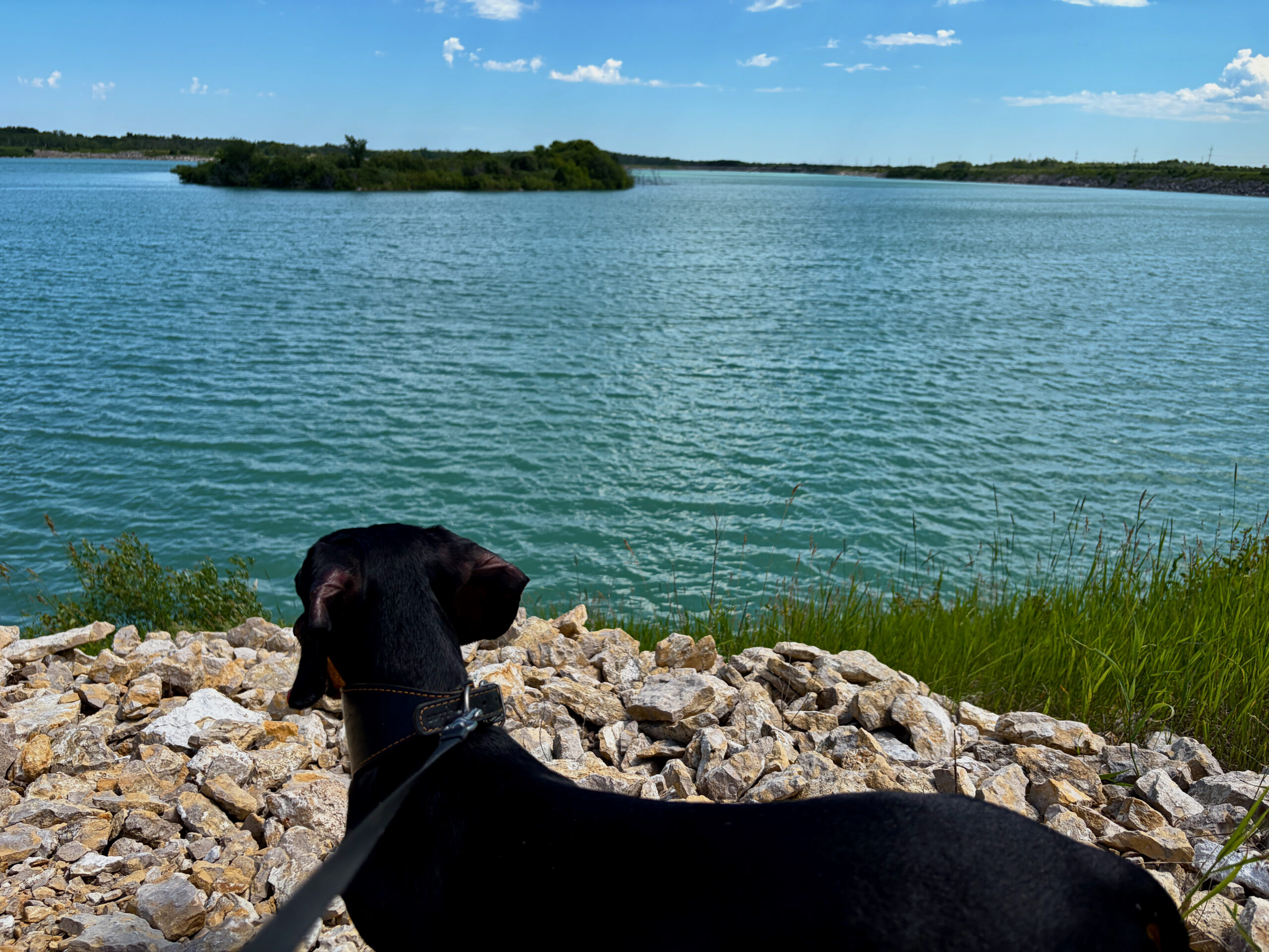
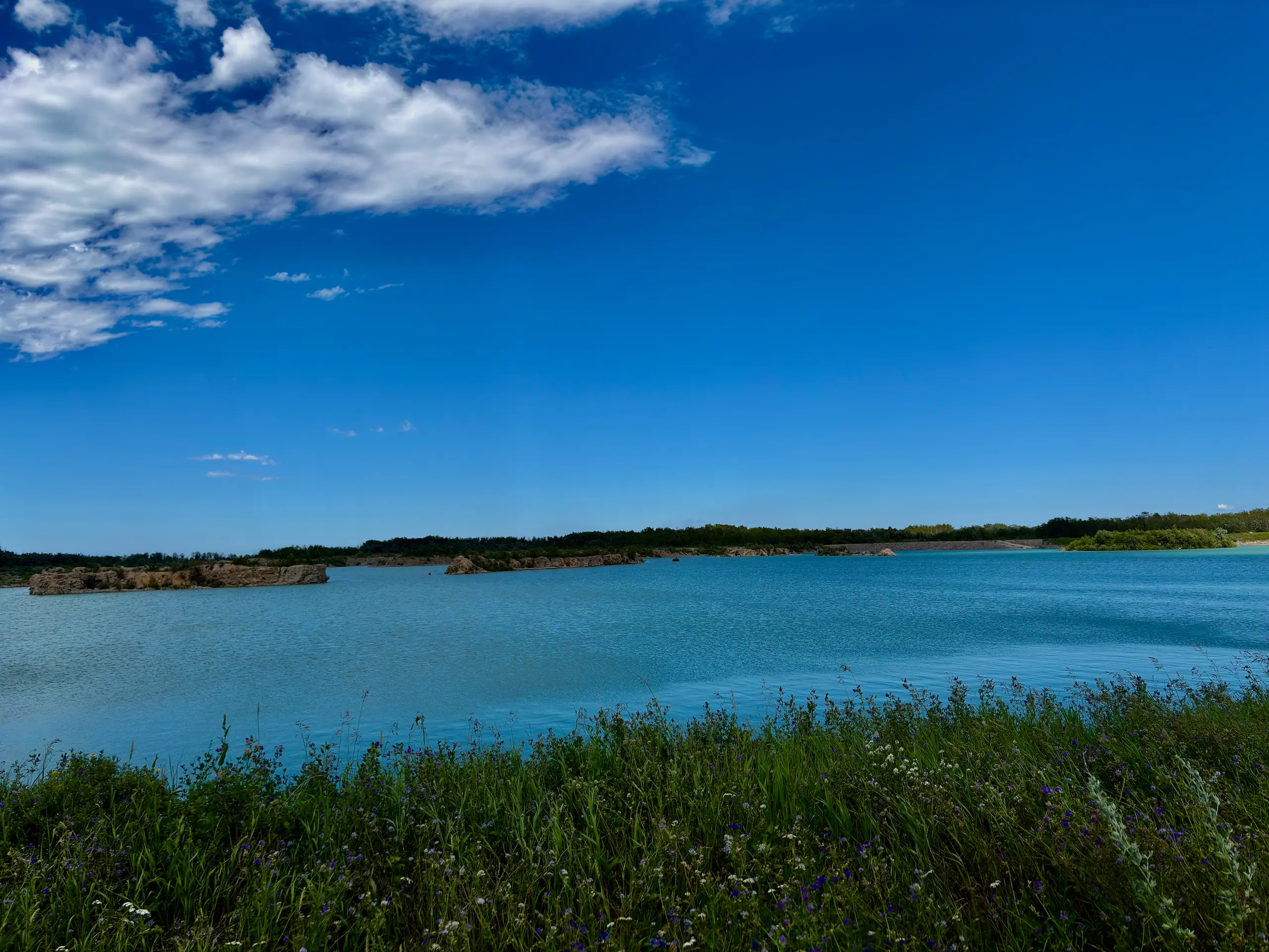
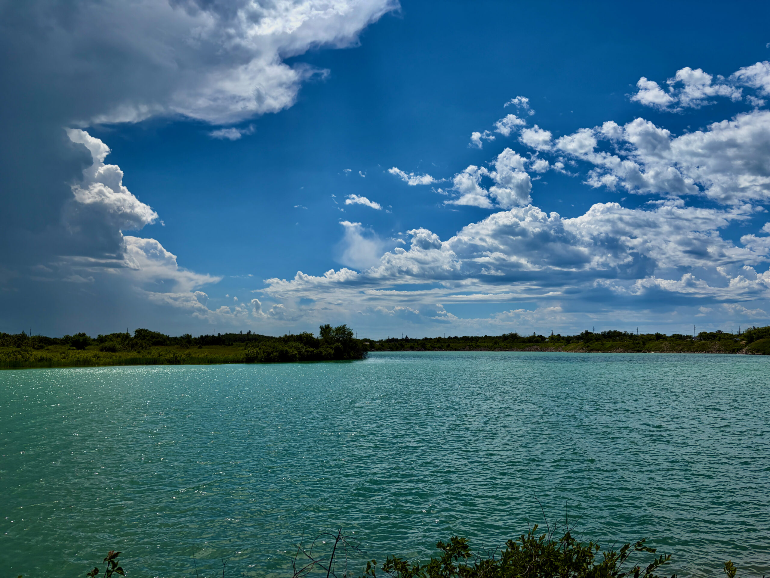
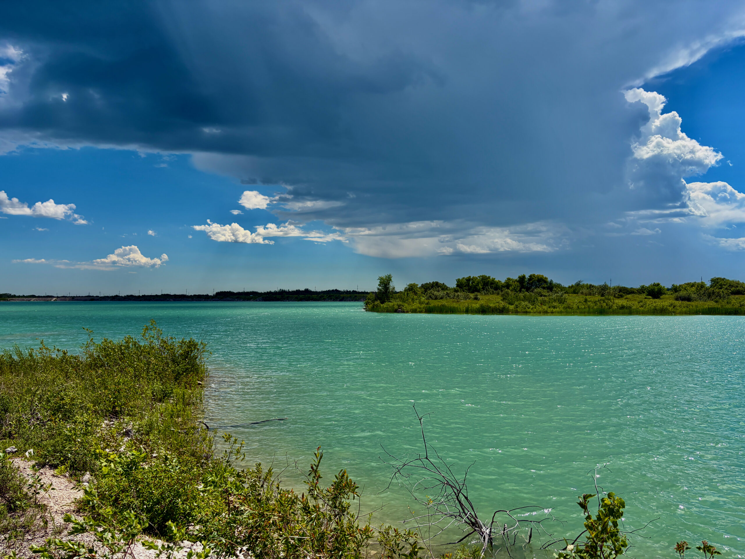
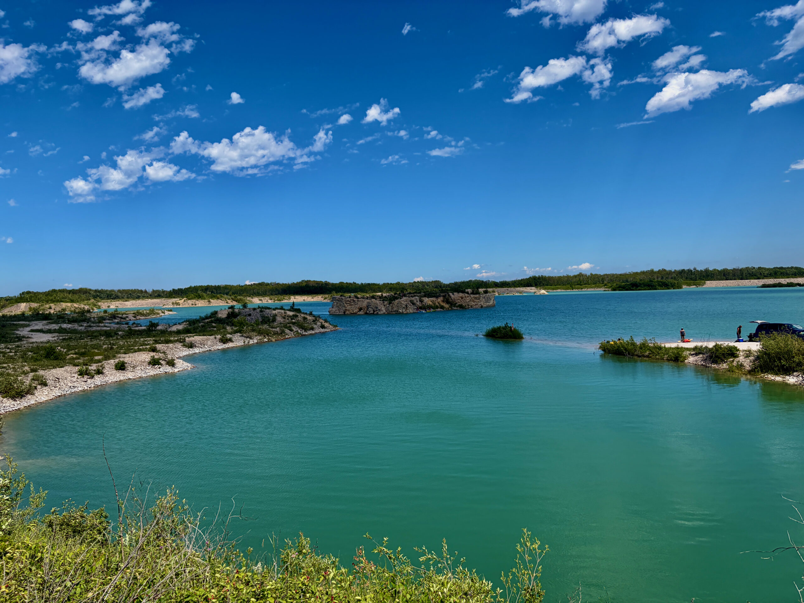
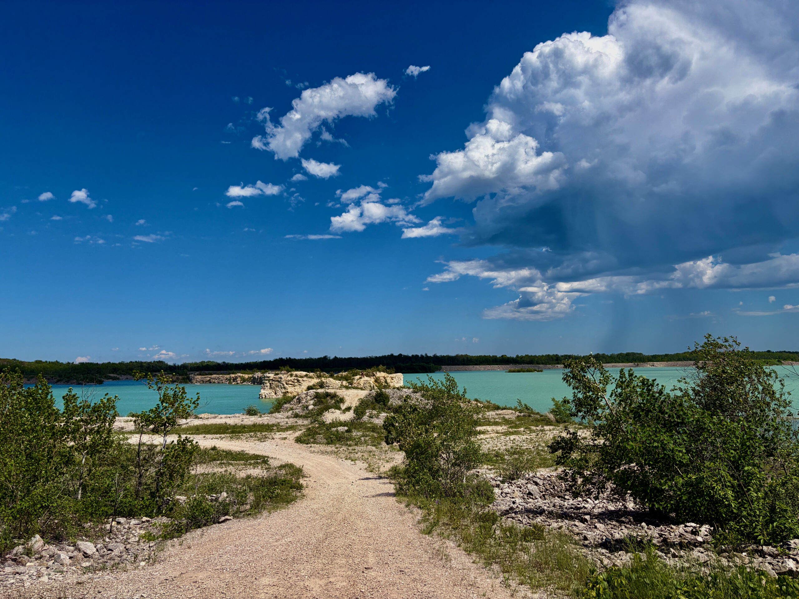
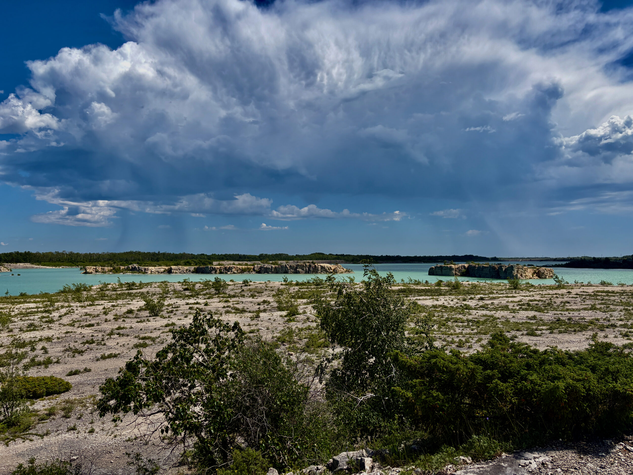
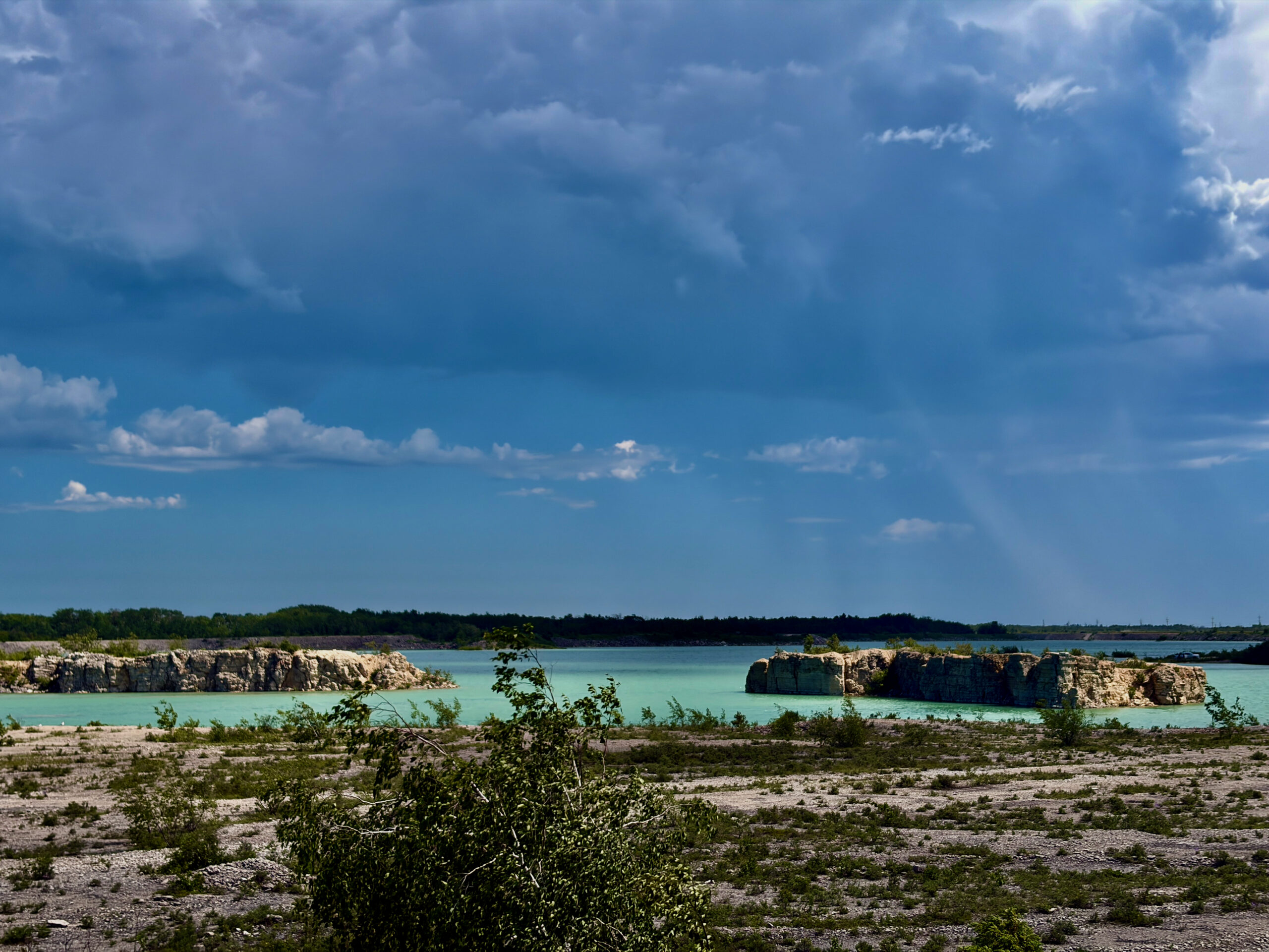
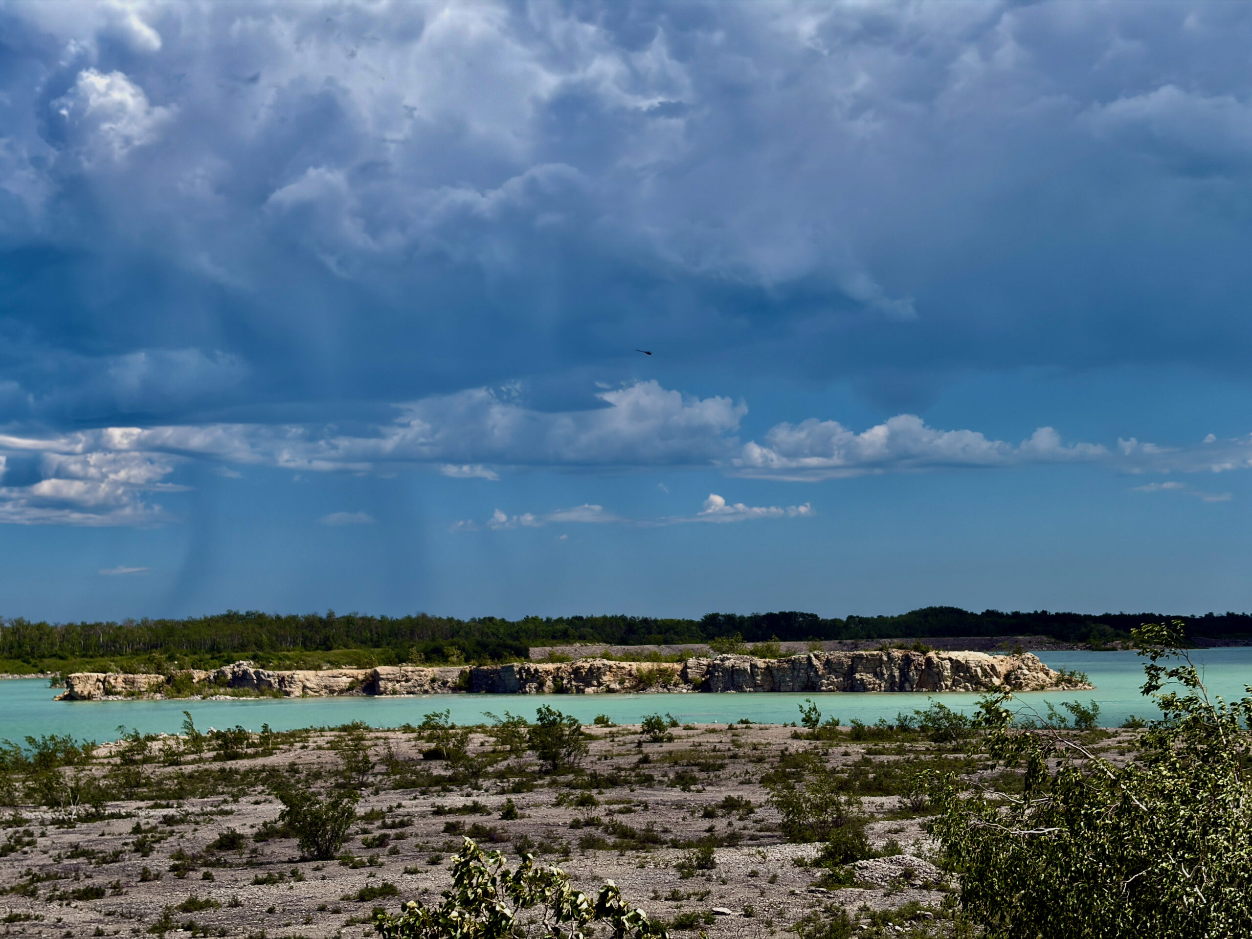
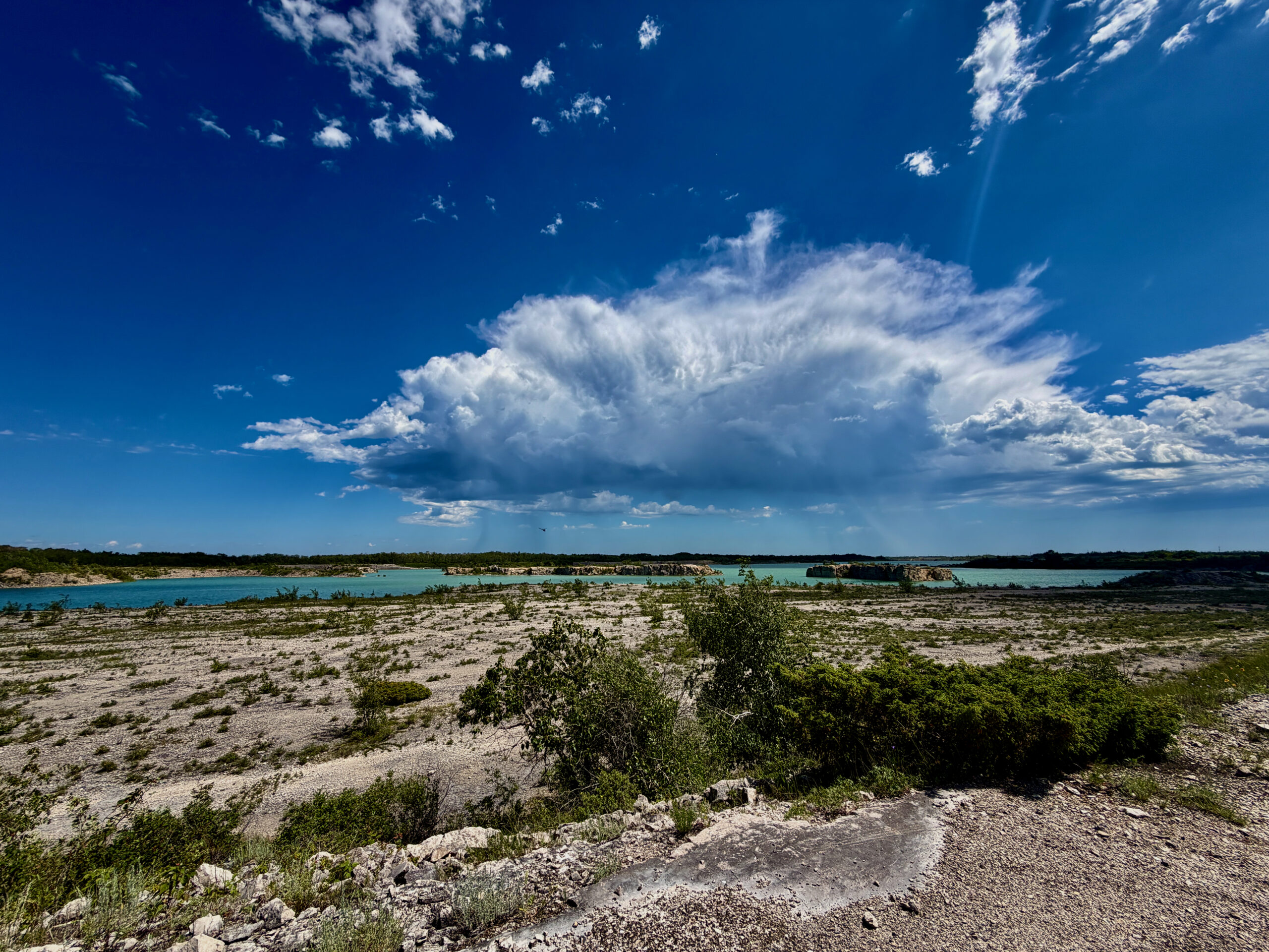
Reaching the end of the trail (going left from the beach), we did the thing you shouldn’t do without a downloaded route: instead of doubling back the way we came, we followed a track someone had long since “cut” — it looked like a car had simply driven through. It led us to another parking lot, and from there we headed toward the old quarries with their turquoise water — the very ones that land Steep Rock on every list of Manitoba’s most photogenic places. That incredible turquoise is no accident: limestone was quarried here for decades, and once the pit closed it slowly filled with water, the dissolved calcium tinting it that same “Caribbean” colour. We’ve written up the history of the place in more detail in our guide to Steep Rock. And if that turquoise looks familiar, a similar trip to the flooded Reynolds Ponds quarries awaits much closer to Winnipeg.
Here it helps to navigate by the trail map. The south and east sides of the quarry have a separate ATV and snowmobile trail. From point 2 we went left toward point 3. First the path leads out onto a spur into the quarry: no access to the water there, but a great view. And just past the spur there’s a lovely spot for a swim. It was a hot day, so the cold, clear quarry water was a real rescue — and honestly, swimming in turquoise in the middle of a former industrial pit feels surreally beautiful. A little further on, to the right, is a cliff tagged on Google Maps as Prachlo cliff. Incidentally, local enthusiasts have given these nooks colourful names on the map — from Prachlo cliff to Drogon Rock Island and Neptune Lake — so navigating is half the fun. An honest tip: if the water is your goal, there’s no point going further along the trail — it runs among the trees, well back from the shore, and turns into an ordinary forest walk. We, of course, went all the way to the end — curiosity above all.
Our own rake to step on: don’t do it in Crocs
Now an honest warning from experience. Since we wanted to dip our feet, and the trail is 4.4 km end to end, we thoughtlessly wore Crocs. Bad call. The mix of water and fine dust did its work — we chafed our feet noticeably. So bring proper shoes, and separate water shoes for the water. We walked back to the car more by road than by trail: it’s noticeably shorter that way.
The hot dog ritual
We have a little tradition: wherever we are, we try the local hot dogs on the road. So here too we treated ourselves to a hot dog at the local “café.” It was perfectly decent, but hand on heart, we still haven’t topped the benchmark — the double hot dogs at a Circle K gas station near Panevėžys in Lithuania, which we still remember from our Riga-to-Transfăgărășan road trip. But the search goes on, and Steep Rock held its own in this “championship.”
Important: the road back
One stretch deserves a separate warning, because it’s genuinely about your car’s safety. The moment you turn from MB-6 N onto Road 239, about five kilometres past the junction the pavement abruptly “ends” — and a potholed gravel road begins. Keep to the posted 100 km/h and fail to slow in time, and you can hit a pothole nastily, with hard-to-predict consequences for your wheels and suspension. So I’d drop your speed early: 40–60 km/h was comfortable for me, enough to react in time, especially where side roads join. Some drove faster — but those were pickups, whose owners either don’t mind the abuse or follow the “more speed, fewer potholes” theory.

So, is it worth it?
Despite our friends’ scepticism — yes, absolutely. Steep Rock is precisely the kind of place whose main charm is being unremarkable on paper: no crowds, no tourist bustle, just limestone cliffs, turquoise water and the feeling that you’ve stumbled onto something most people don’t even know about. We drove home tired, with chafed feet and a full memory card — and the quiet satisfaction of not taking someone’s word for it, but going to see for ourselves. For more on the place itself, its history and everything there is to do, see our guide to Steep Rock.
In short: tips for the day
- Our tip — stay overnight. Steep Rock is a bit far to rush in a single day: better to camp a night at Steep Rock Beach Park — you’ll catch the sunset and the morning calm, and skip the tired three-hour drive home the same day.
- Leave early — it’s a 2.5–3 hour drive each way, and you’ll want at least half a day on site.
- Footwear: proper shoes for the trail plus separate water shoes. Crocs are a bad idea (tested on ourselves).
- Bring water, snacks, mosquito spray and sunscreen; there’s no grocery store in the village.
- Take care on Road 239 — after the MB-6 junction it’s potholed gravel; keep to 40–60 km/h.
- Don’t jump into the water — it’s shallow and rocky near shore.
- Download an offline trail map so you don’t wander like we did.
Read next: our full Steep Rock guide, St. Laurent Big Tree Park on the way, and the similar flooded Reynolds Ponds quarry near Winnipeg.