


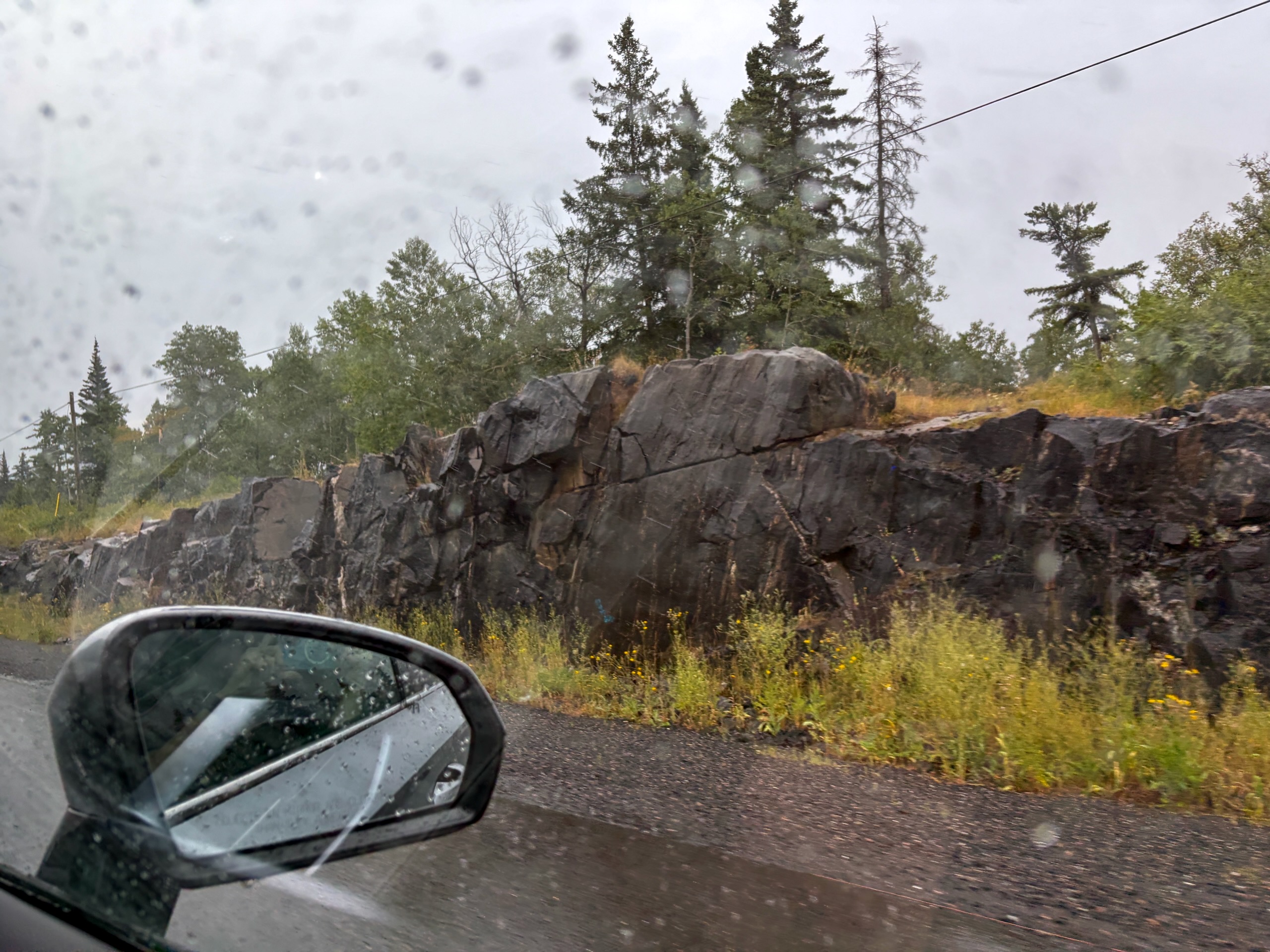
The first time we drove through Nestor Falls, we barely registered it. It was Monday afternoon, raining, and after several hours on the road we were thinking much more about checking in and getting our bags out of the weather than about the name on a highway sign. Water flashed on one side of the road, a few buildings passed on the other, and the village was behind us.
We came back on Wednesday on purpose.
That was when Nestor Falls started to make sense. A waterfall runs almost directly under the highway. A few minutes away, float planes sit on the water at working air bases. And the little gas station we first stopped at for batteries ended up being the place we returned to for everything from ice cream to forgotten supplies.
Nestor Falls makes the most sense when you stop treating it as somewhere to drive through and give it an hour to show you how water, roads and aviation fit together here.
Where is Nestor Falls?
Nestor Falls is on Highway 71 in Northwestern Ontario, roughly 120 km south of Kenora and about 95 km north of Fort Frances. From Winnipeg, our drive was about four hours of actual driving time. Our full route is in the five-day Winnipeg to Nestor Falls road trip.
The village is part of the Township of Sioux Narrows–Nestor Falls. According to Statistics Canada’s 2021 Census, the entire township had 727 residents. That figure is for the municipality as a whole, not Nestor Falls alone.
The route is paved all the way. We had cell service in Nestor Falls itself, but it became less reliable once we moved away from the highway and deeper toward the lakes. Offline maps are a sensible backup here.
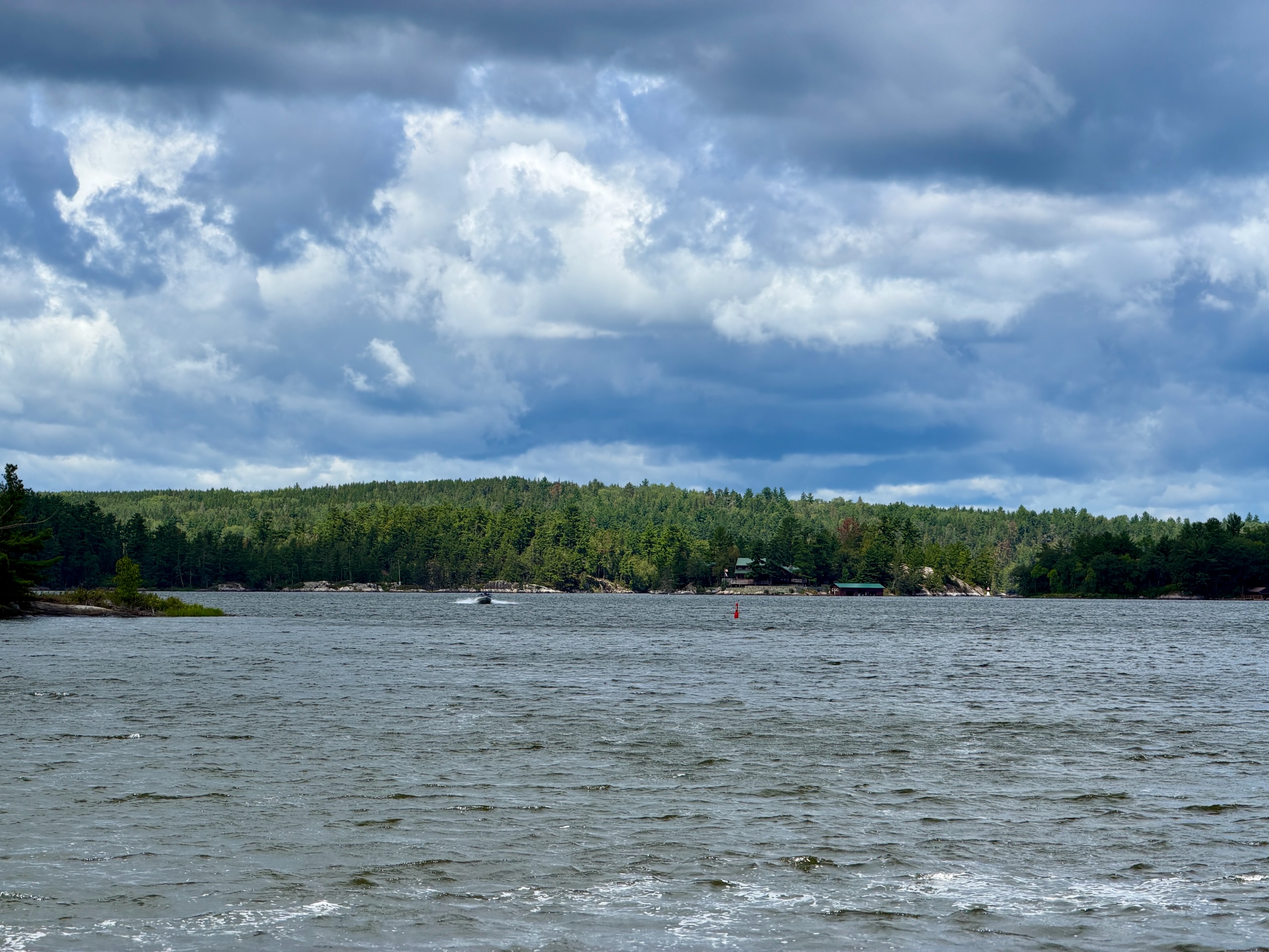
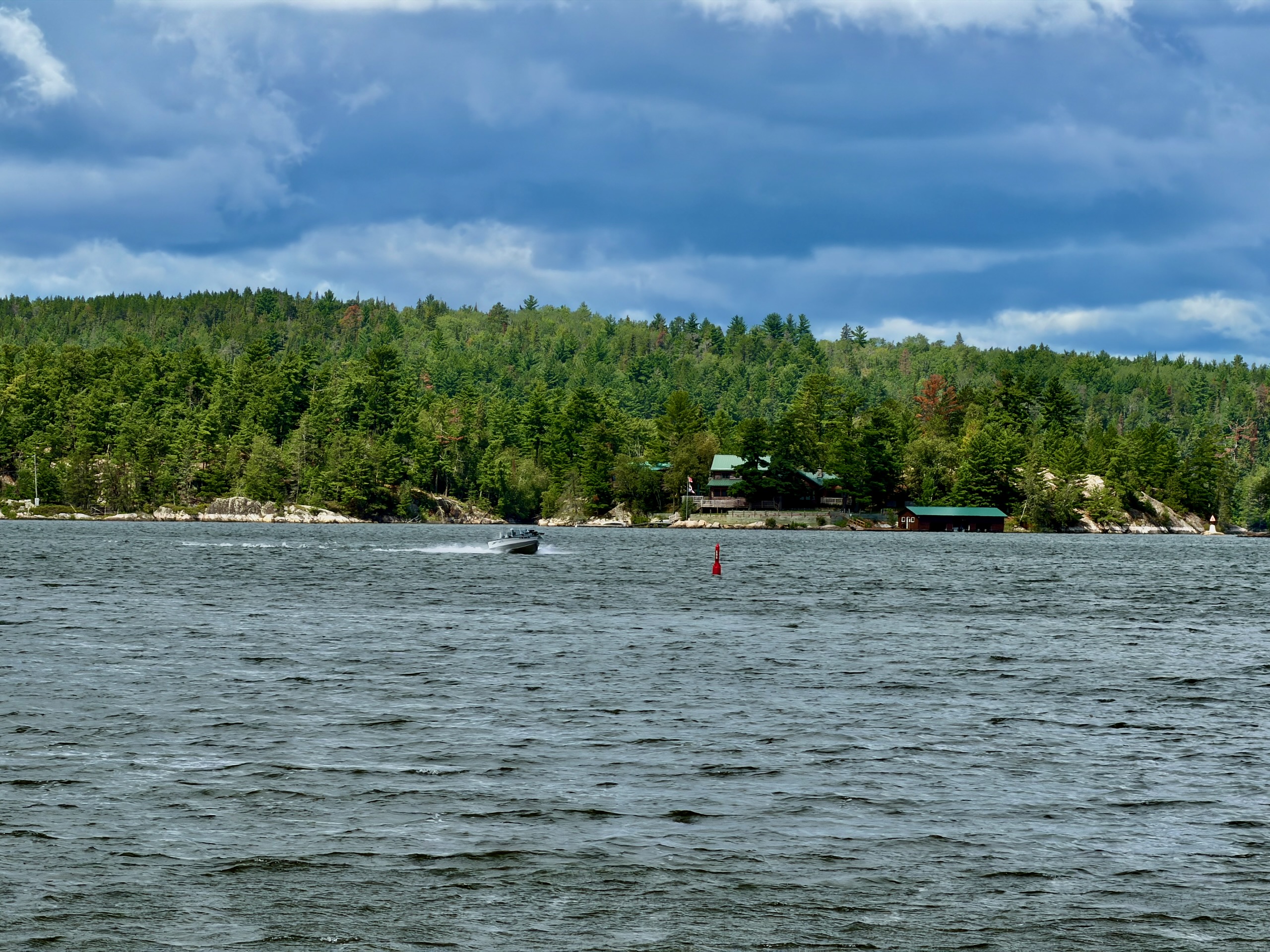
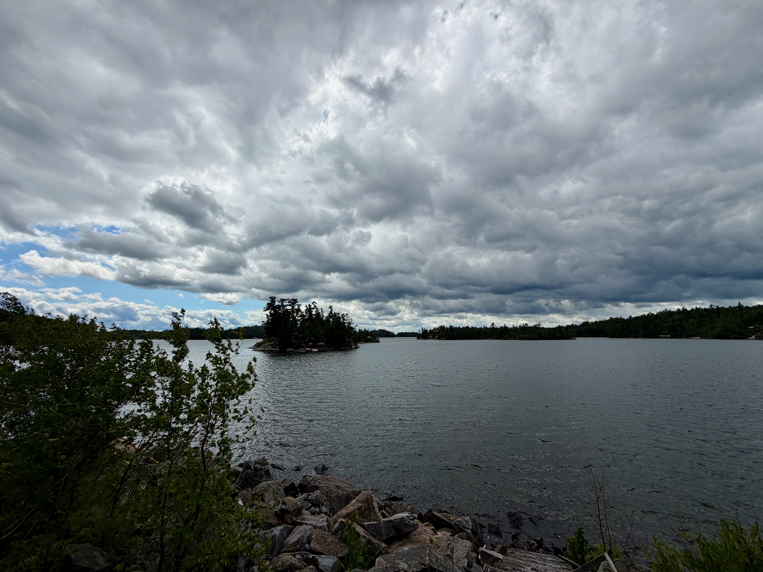
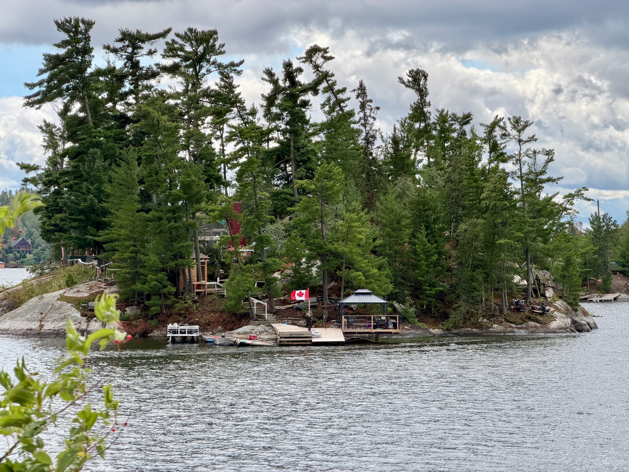
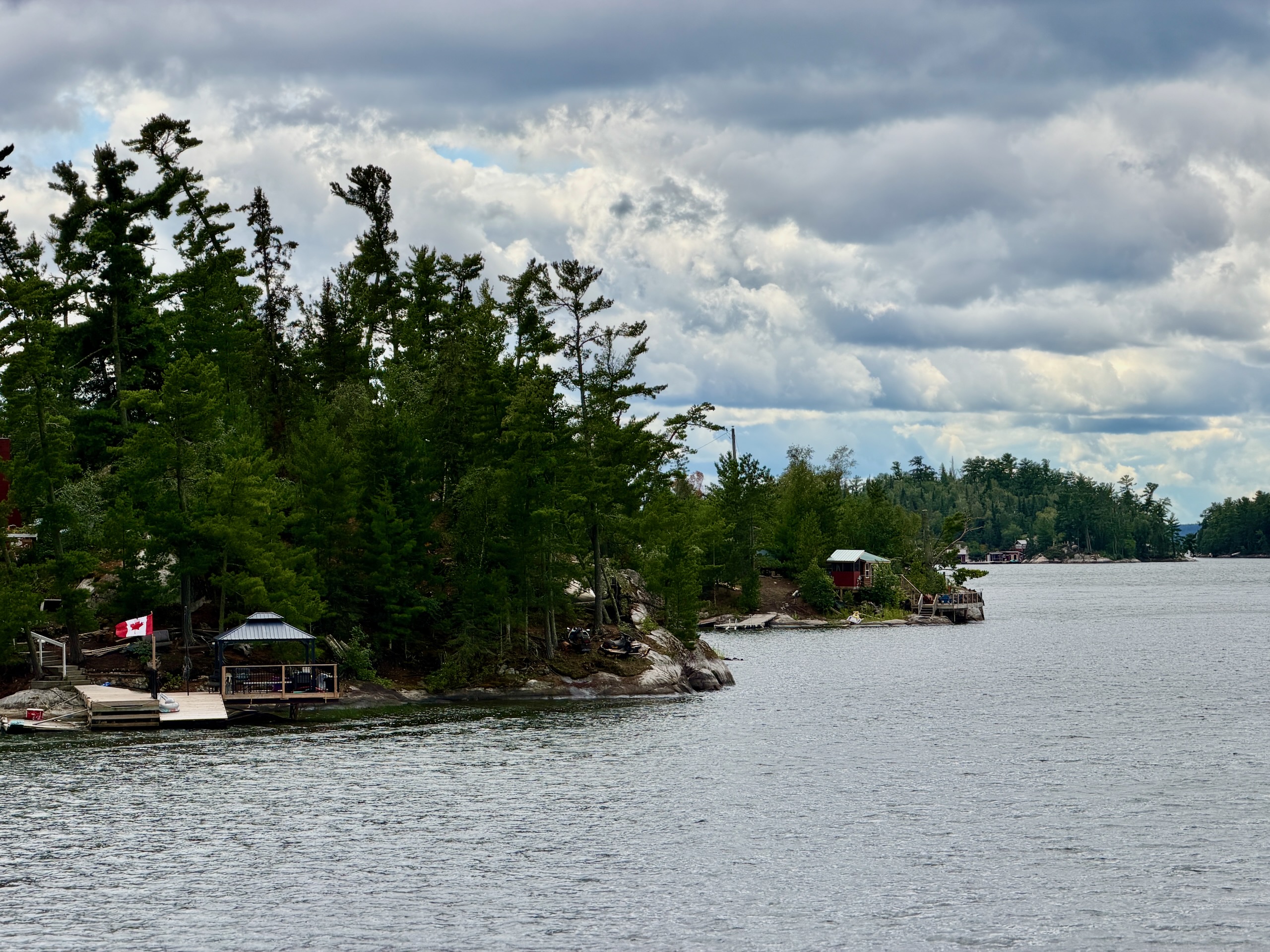
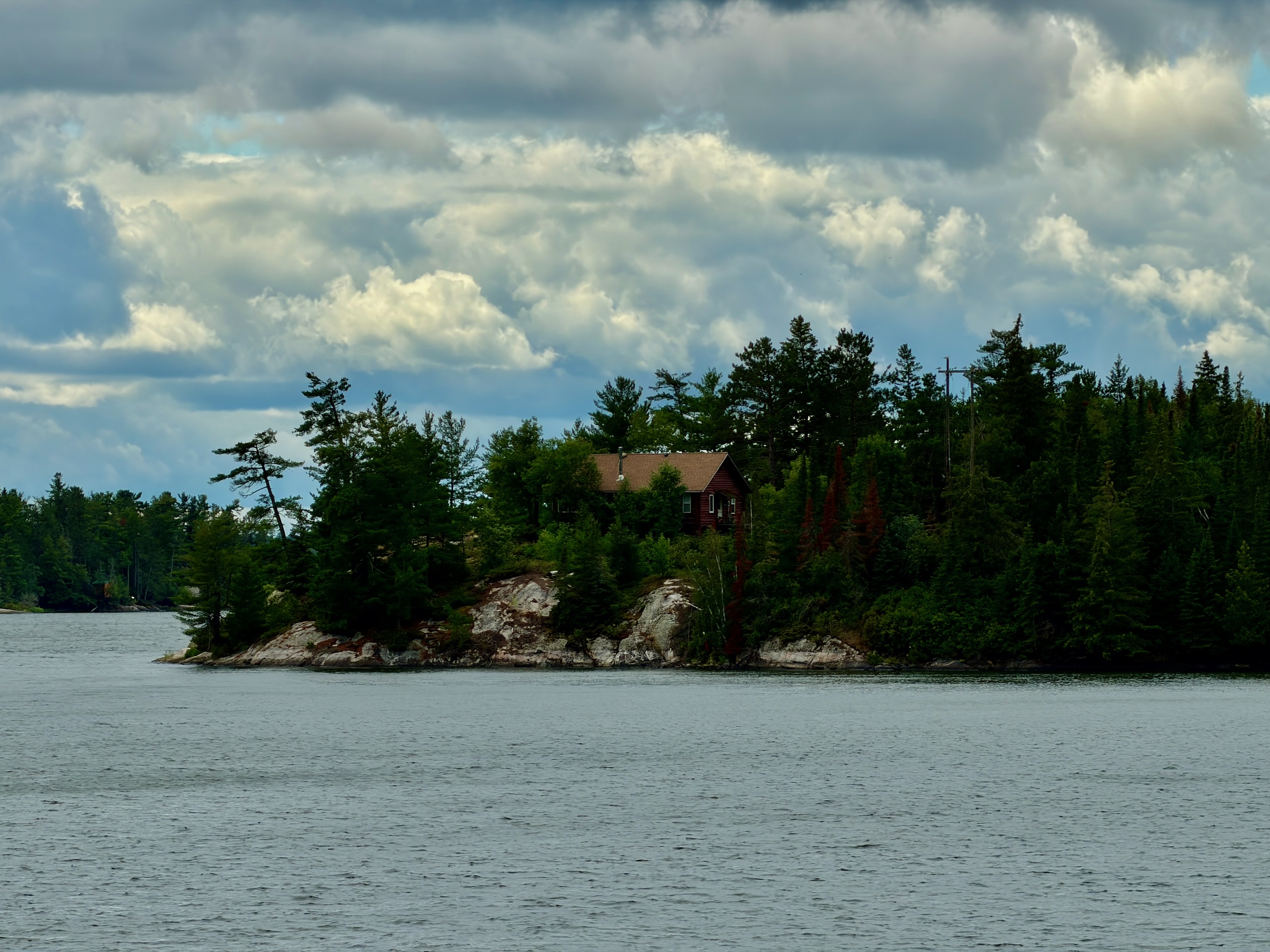
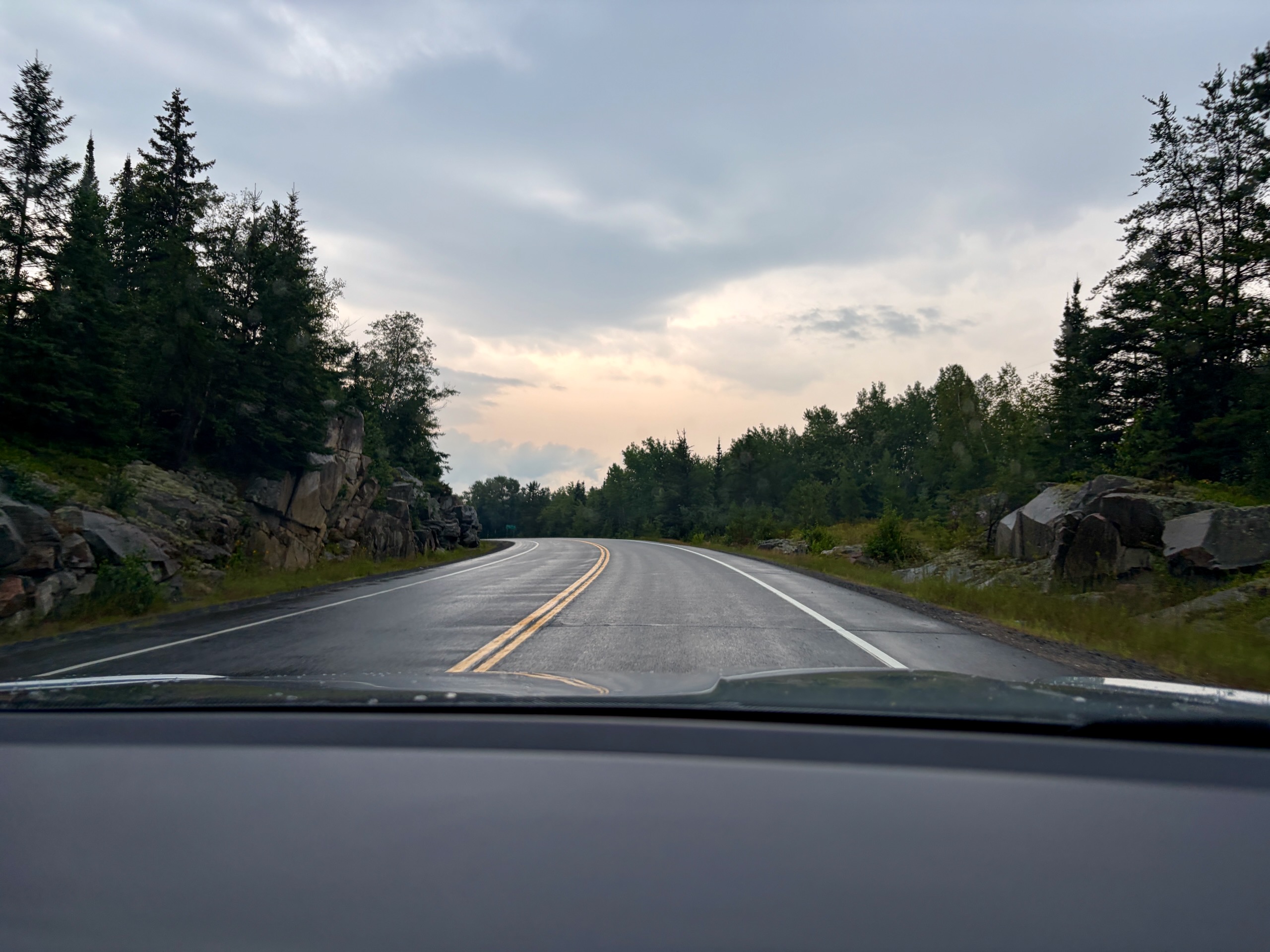
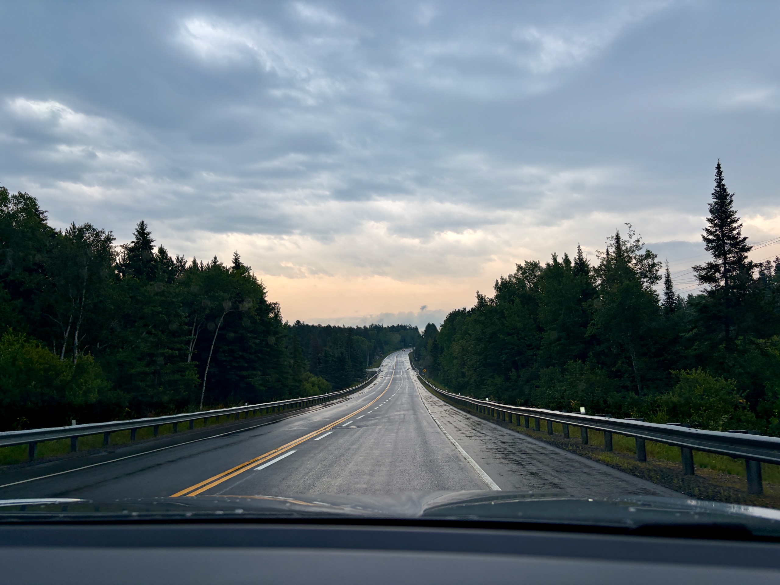
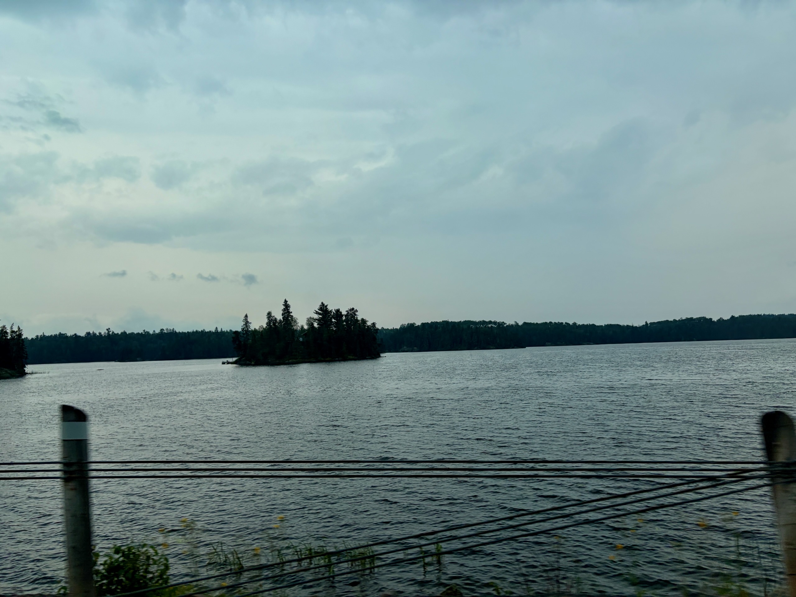
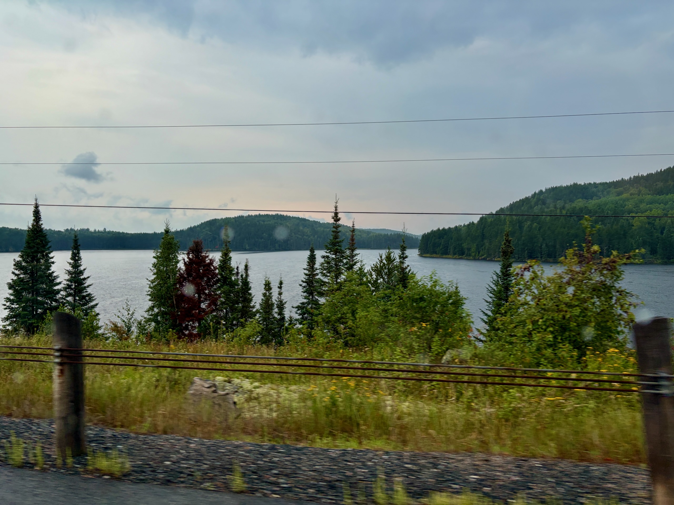
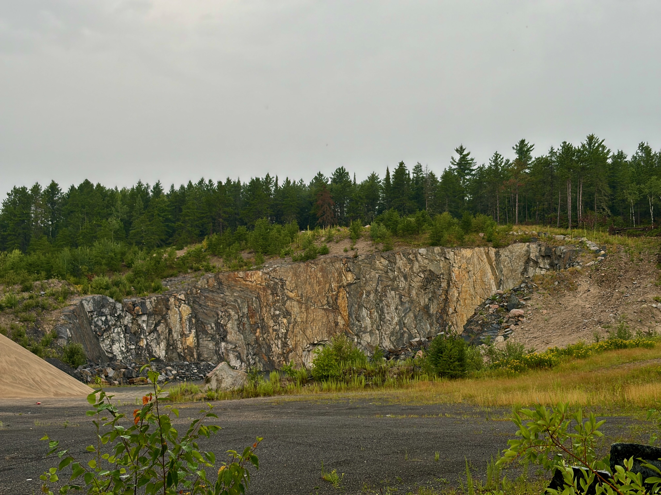
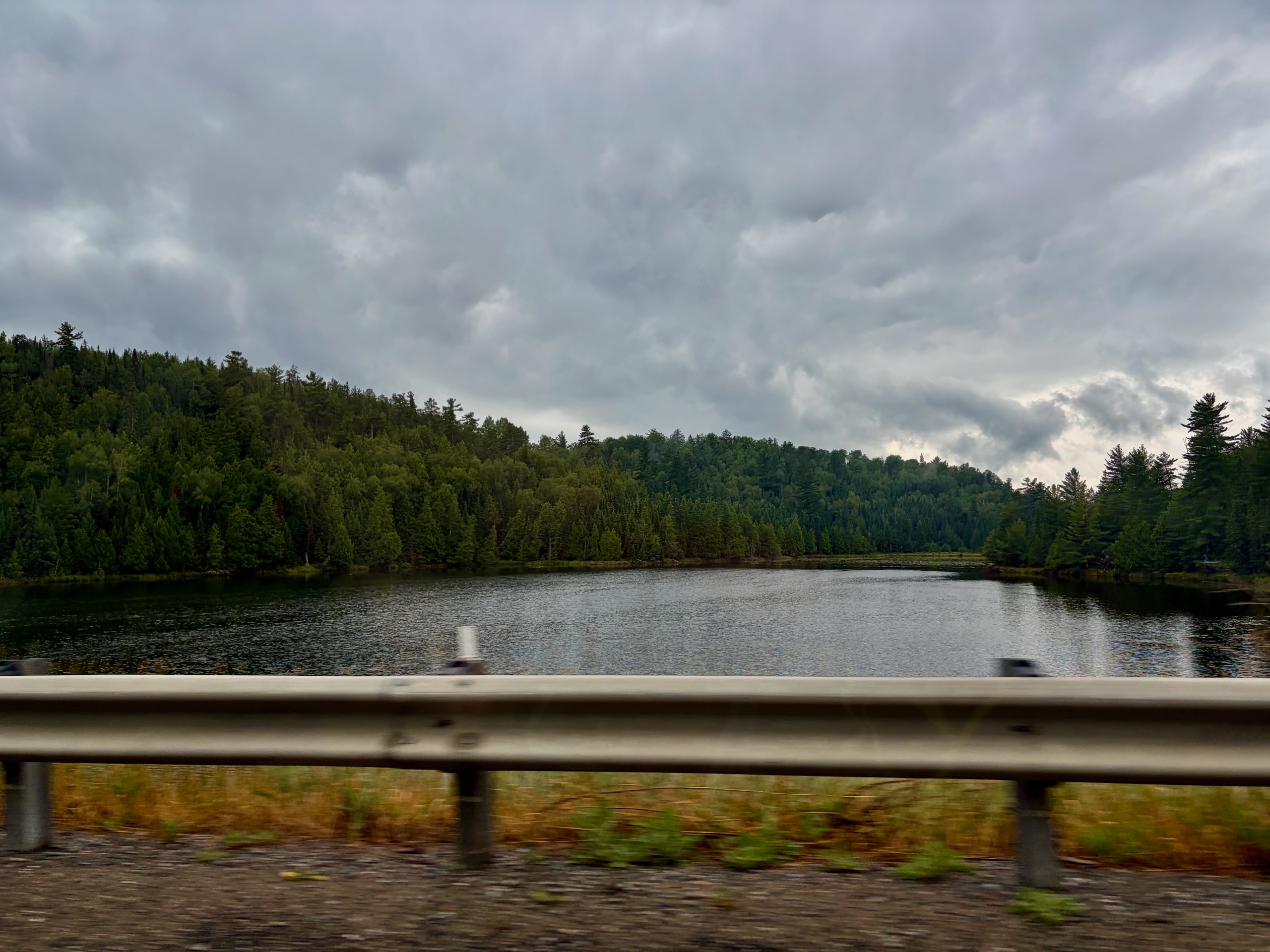
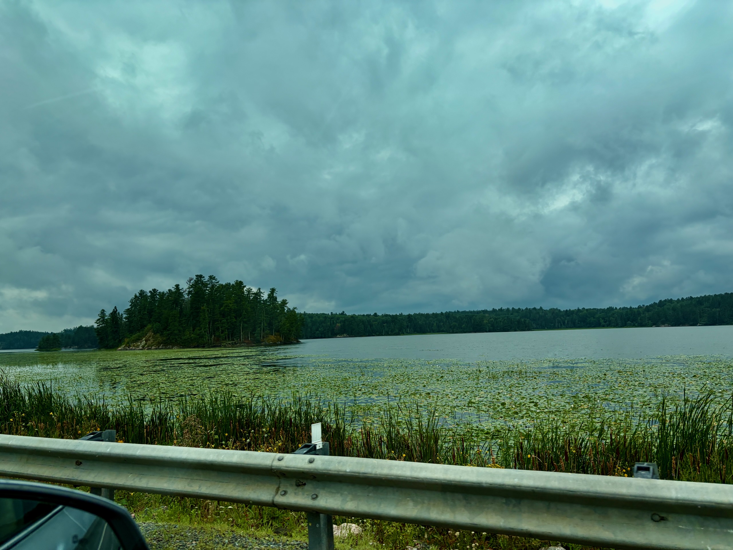
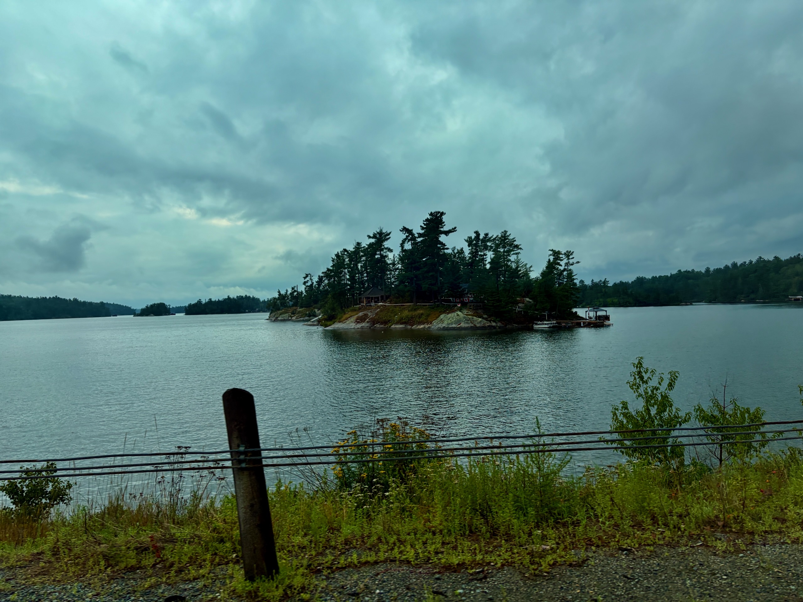
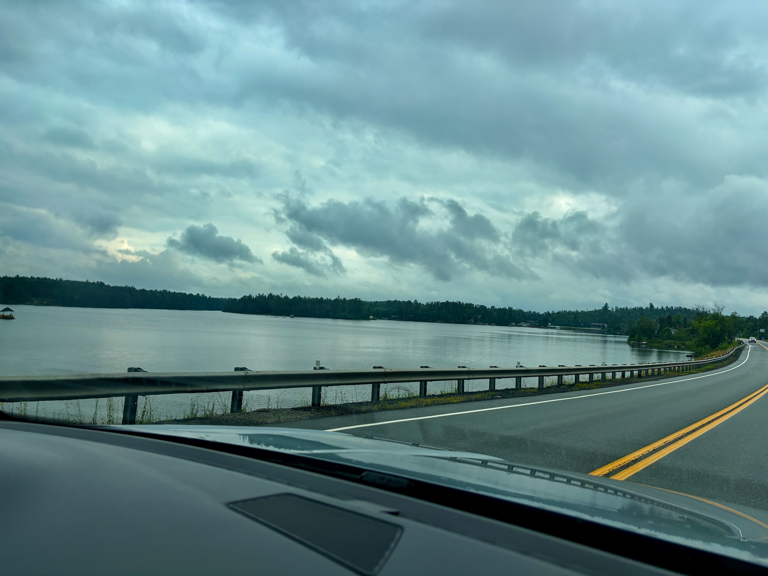
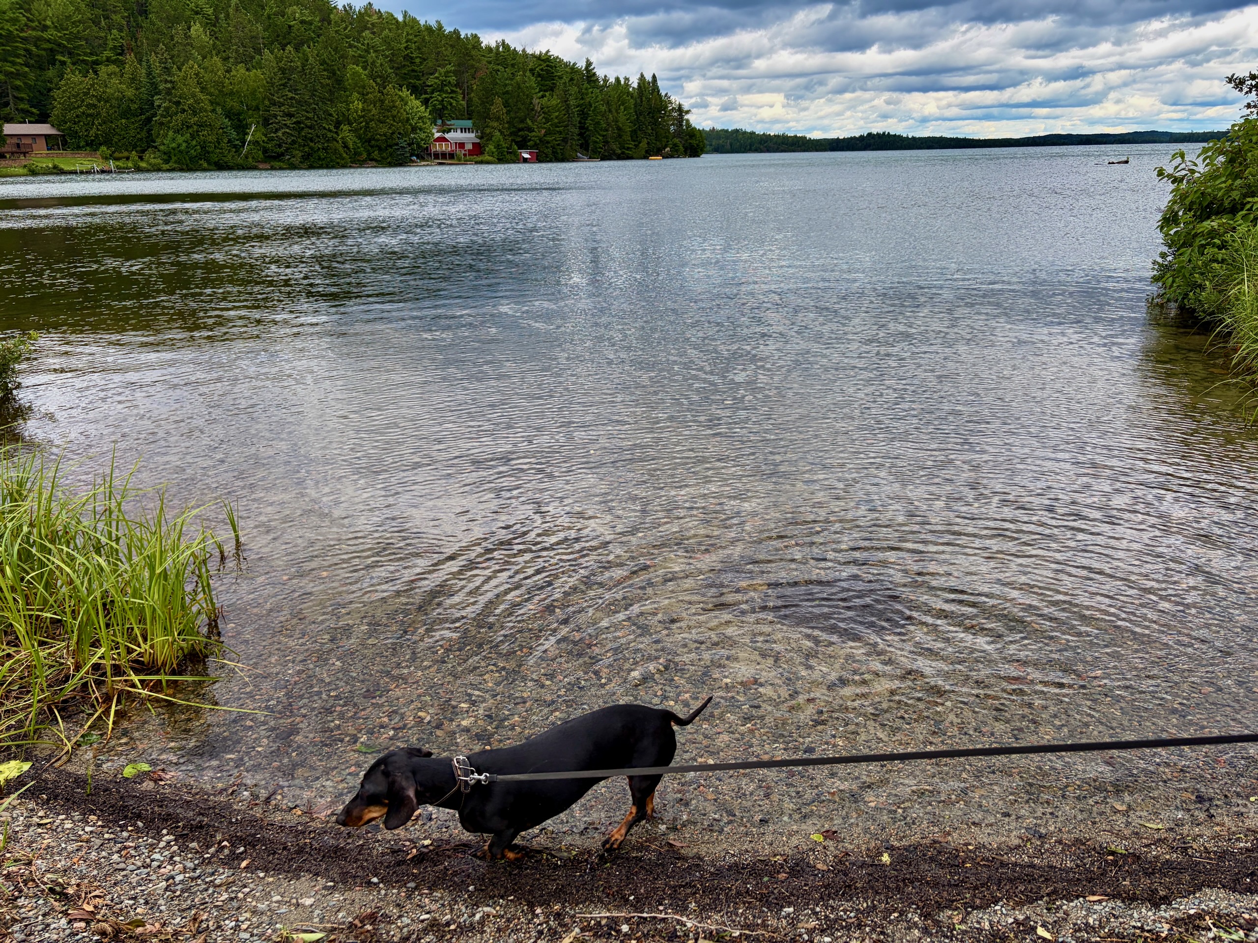
What is Nestor Falls actually like?
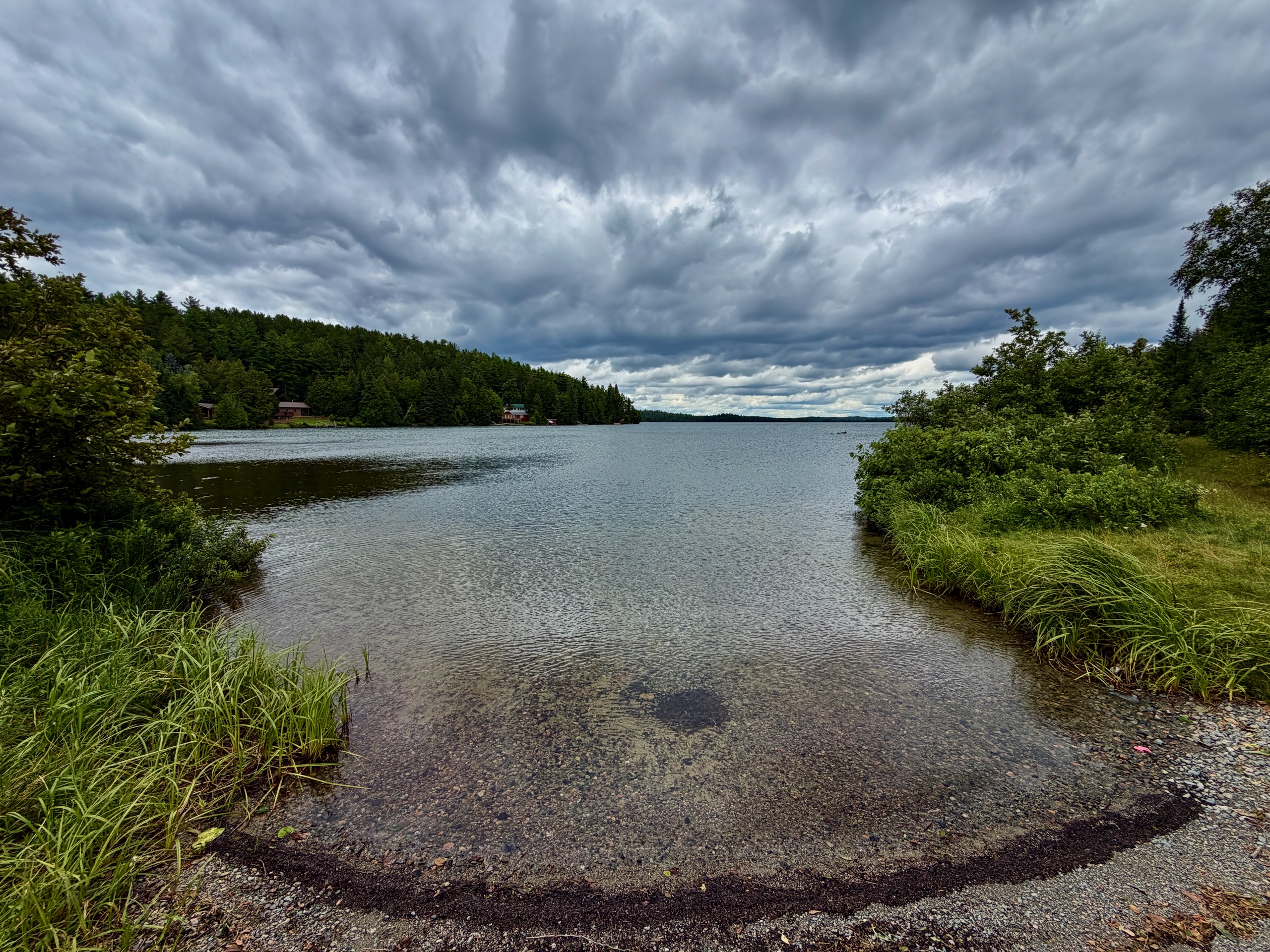
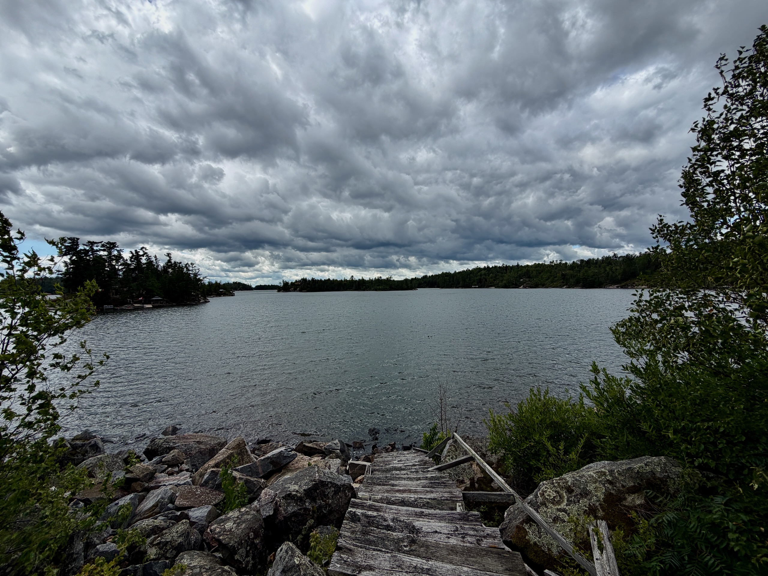
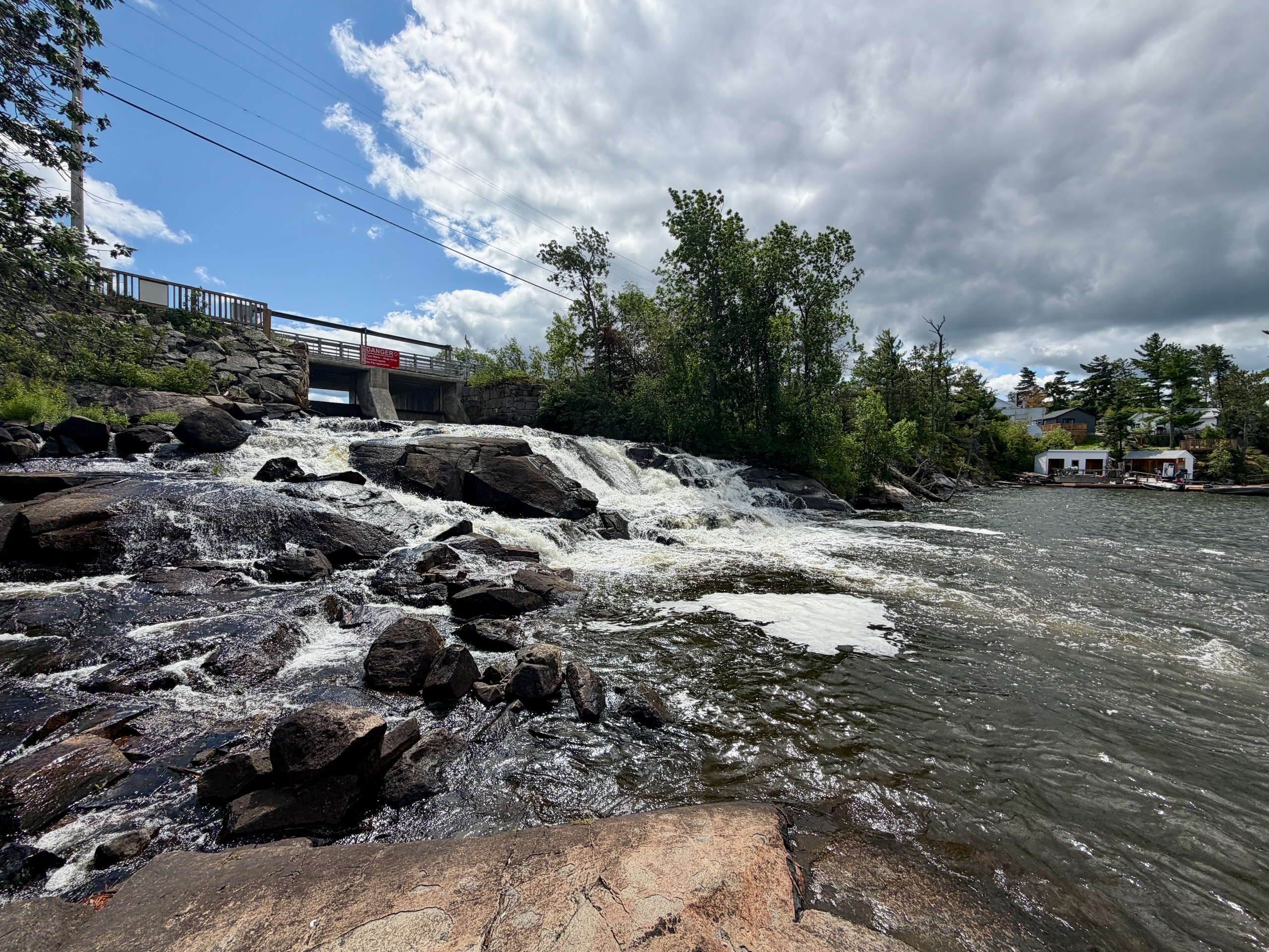
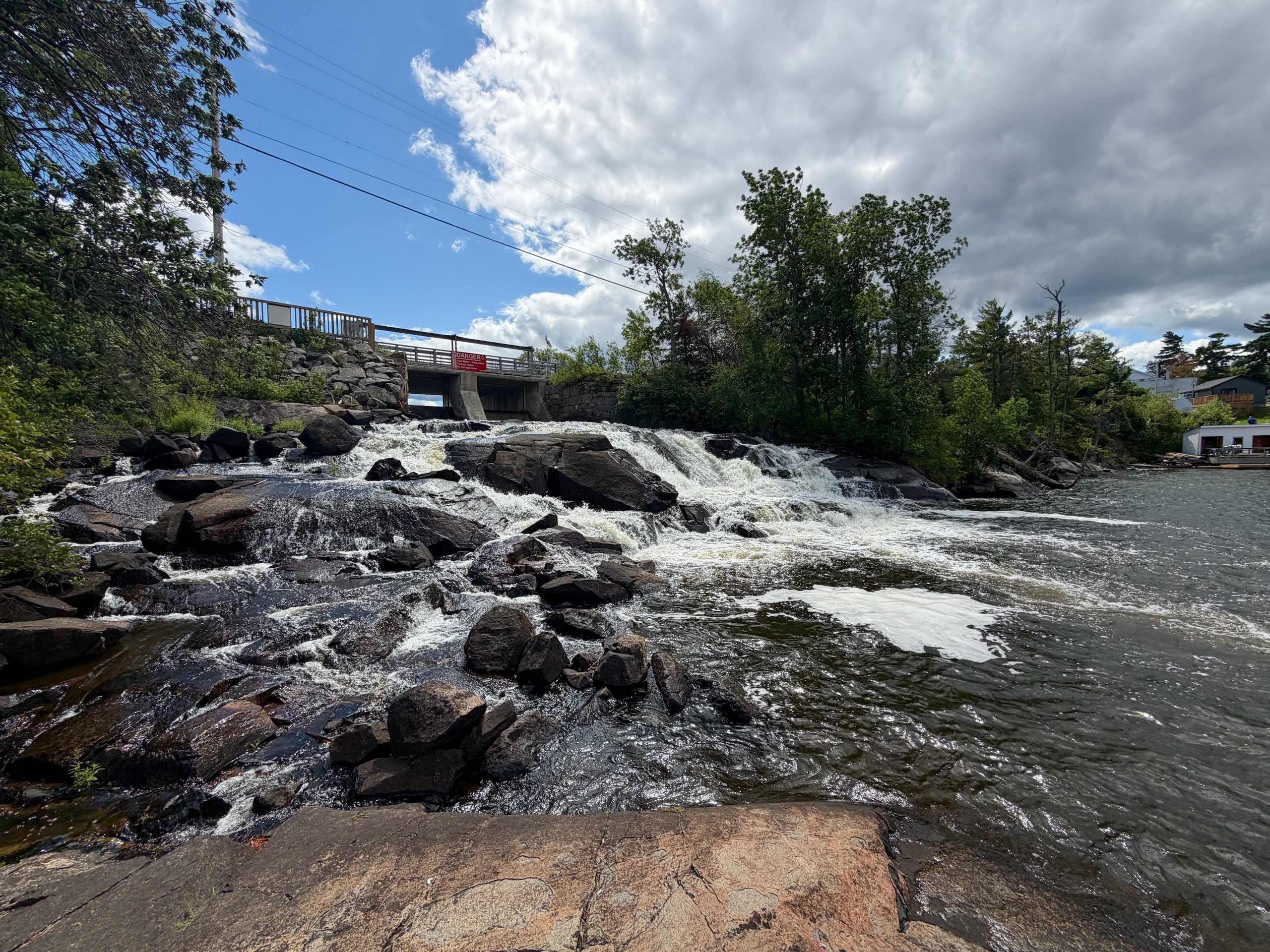
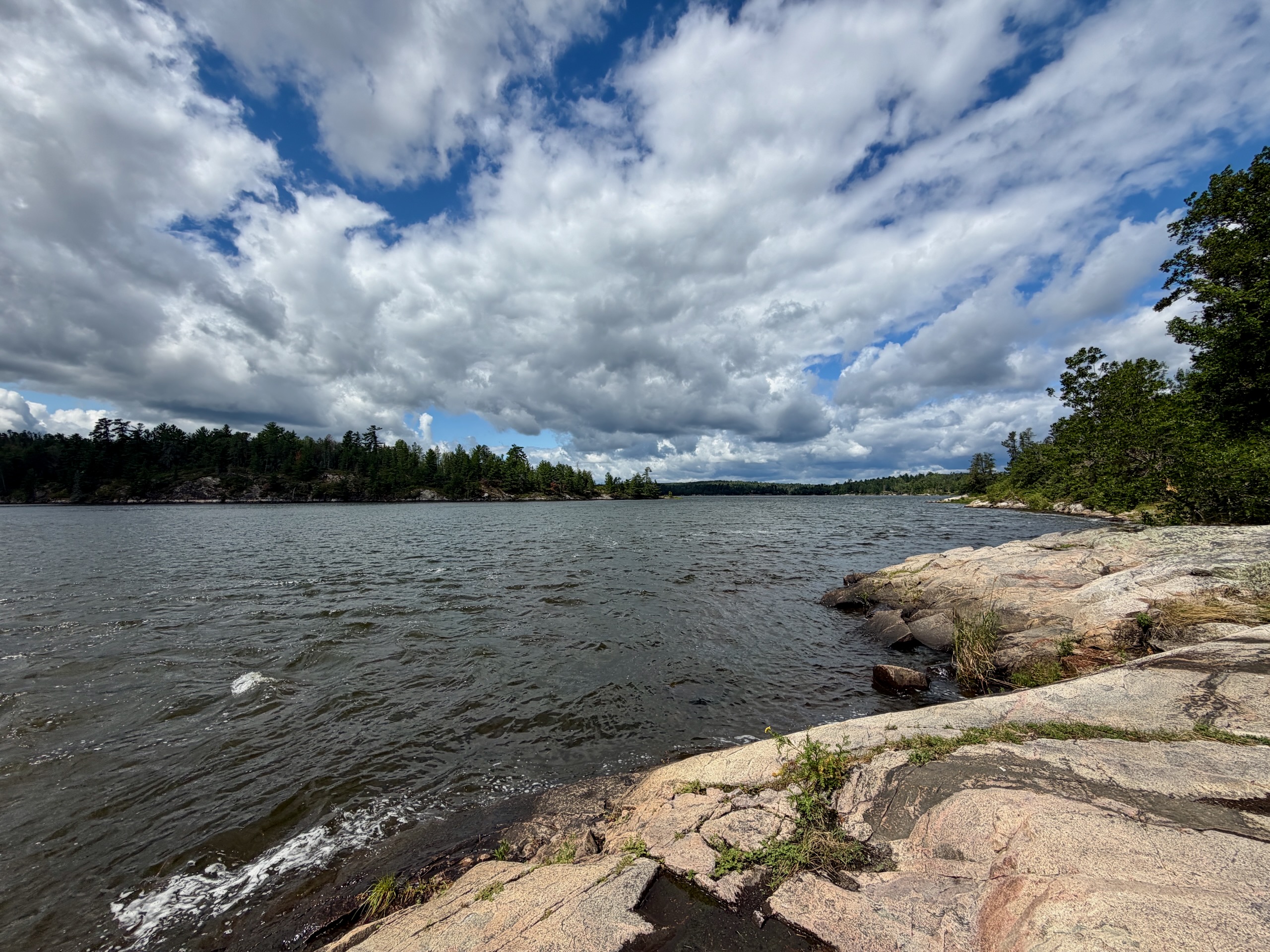
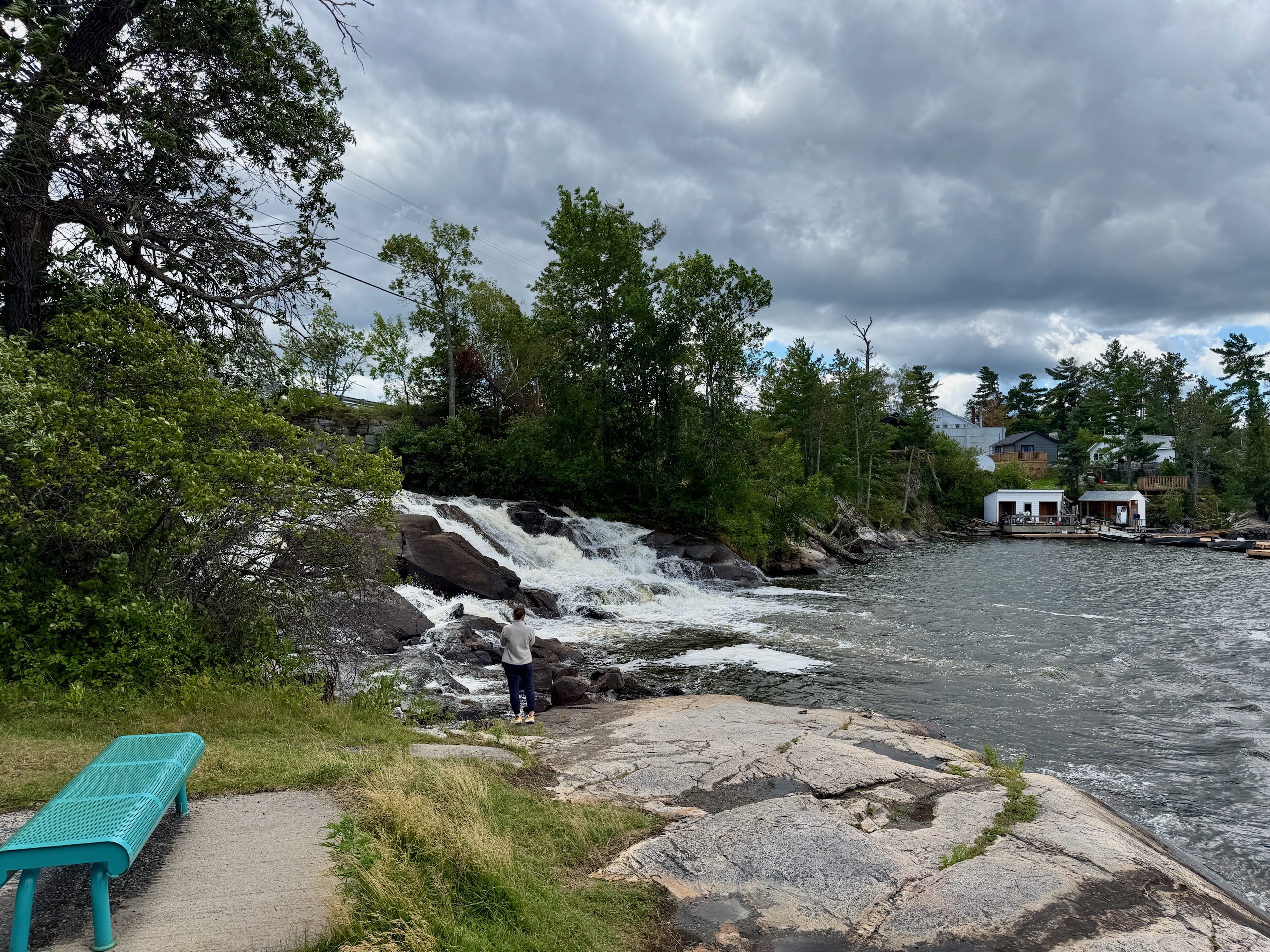
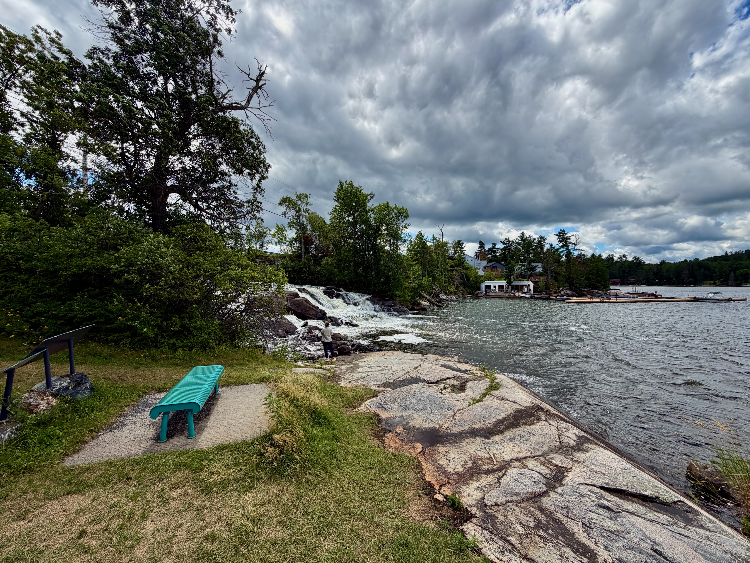
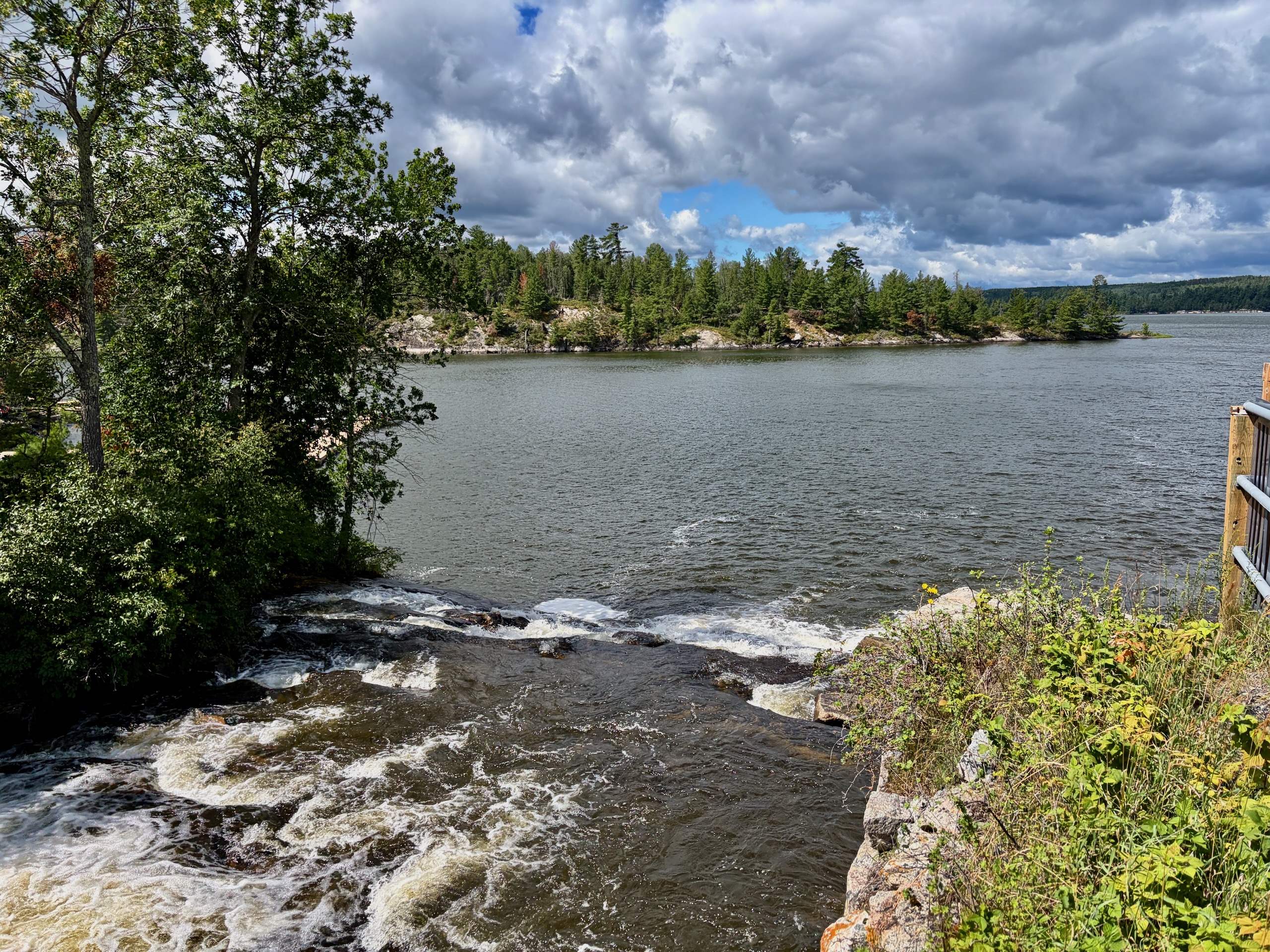
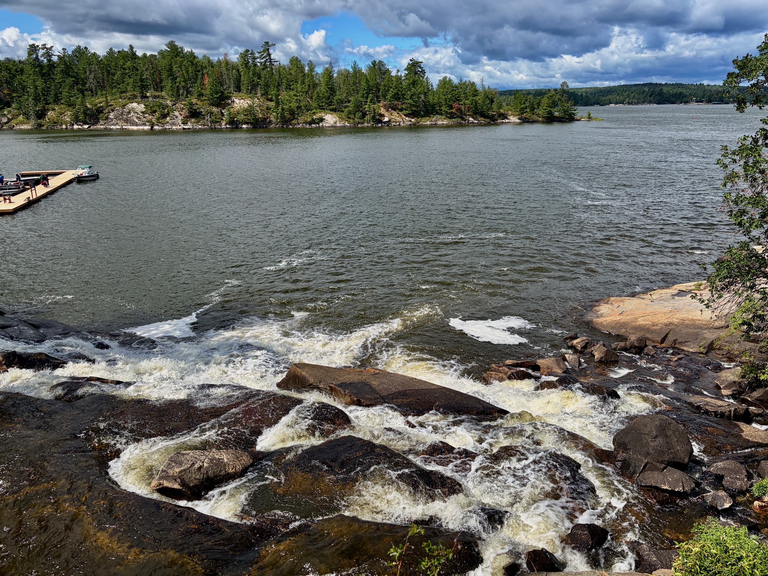
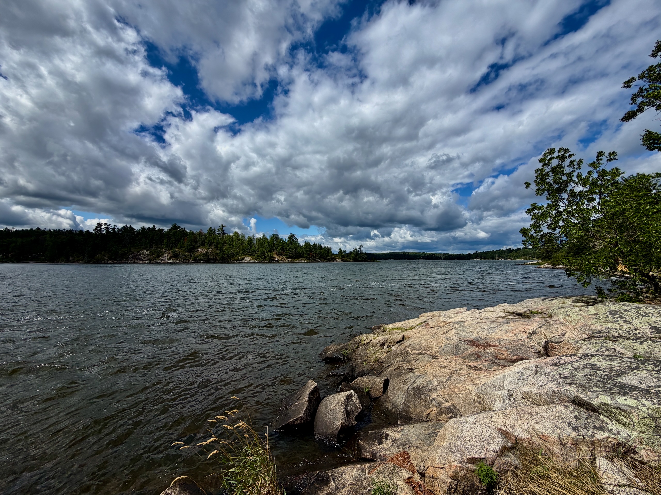
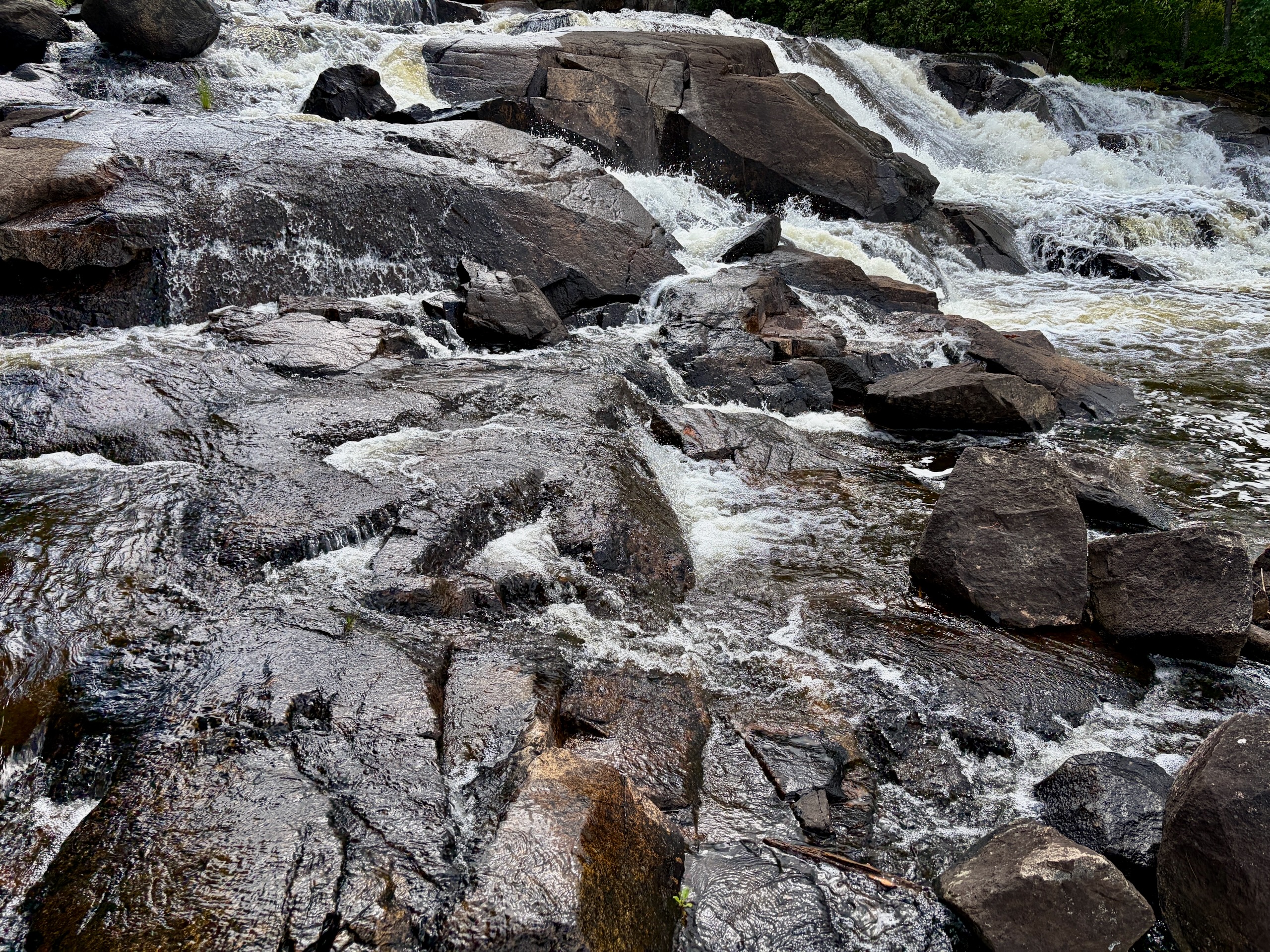
This is not a tall vertical waterfall. Nestor Falls is a short, fast cascade between Kakabikitchiwan Lake and the waters of Sabaskong Bay, part of Lake of the Woods. Highway 71 crosses directly over it.
The viewing area is only a short walk from the parking area. We looked at the water from above, read the interpretive panels and then made our way lower over the natural rock.
Several rainy days had come before our early-August visit, so there was plenty of water. We could hear it before we reached the edge. The rock near the water was wet and slippery, the current was strong, and the warning signs were there for a reason.
I would not judge this place by trying to find a dramatic height number. What makes it memorable is the movement and sound of the water, not one enormous vertical drop.
With children or a dog
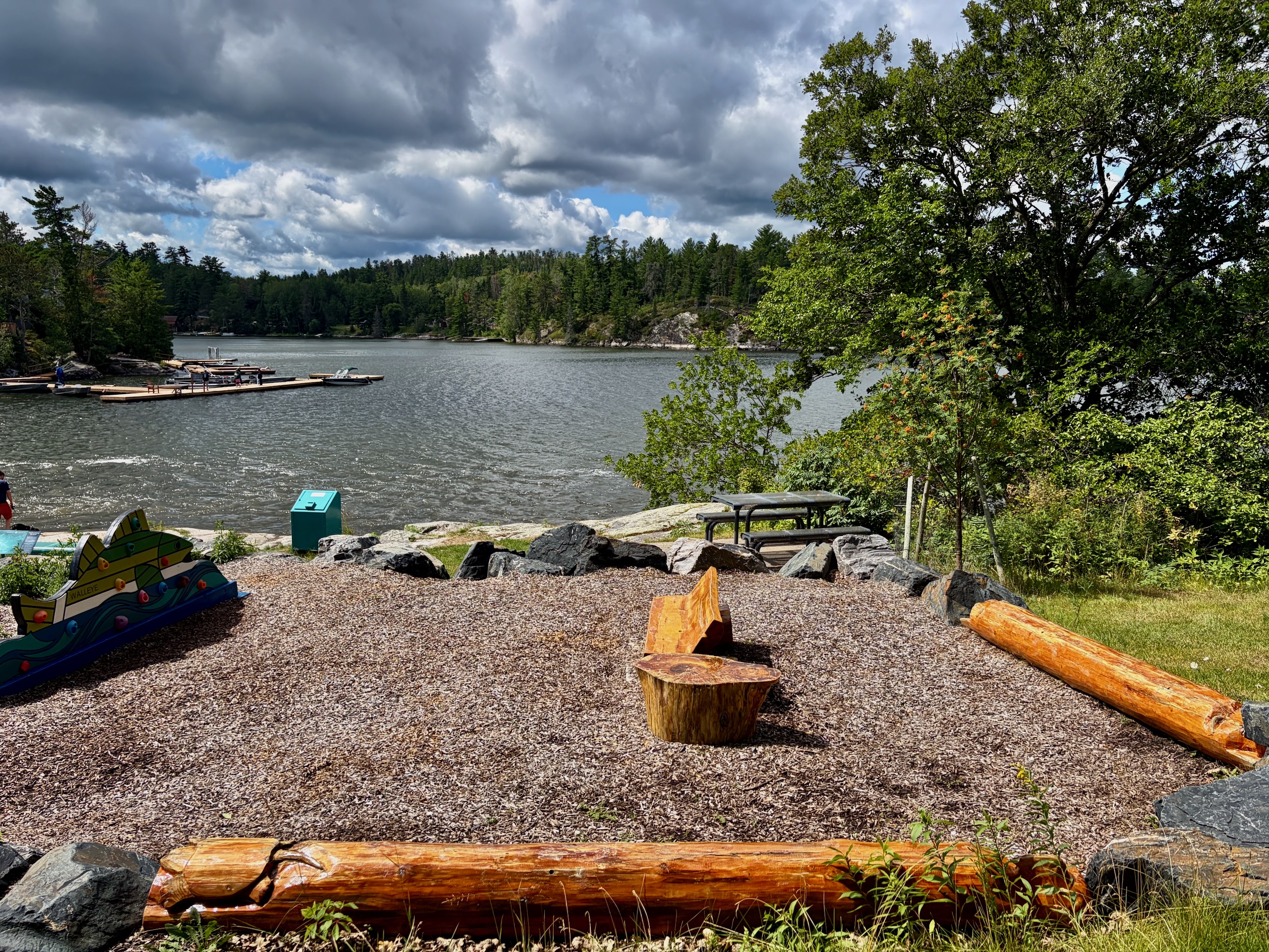
There are picnic tables, benches and a playground beside the falls, which makes this an easy family stop. Closer to the water, however, the natural rock is uneven and the current moves quickly. I would keep young children close.
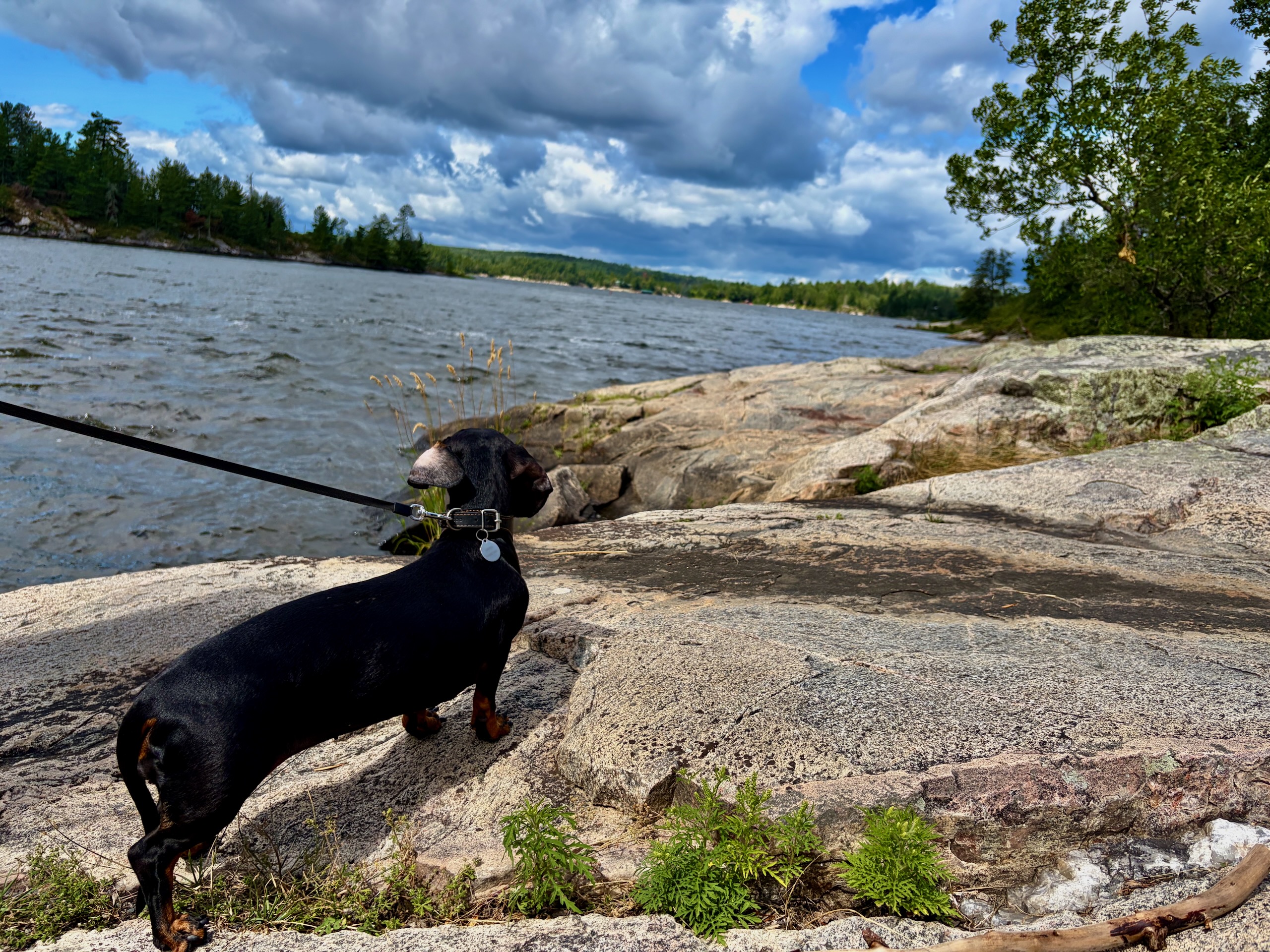
Nika came with us on a leash. The upper recreation area was easy to walk with her; we did not let her enter the water near the cascade.
Where did the name Nestor Falls come from?
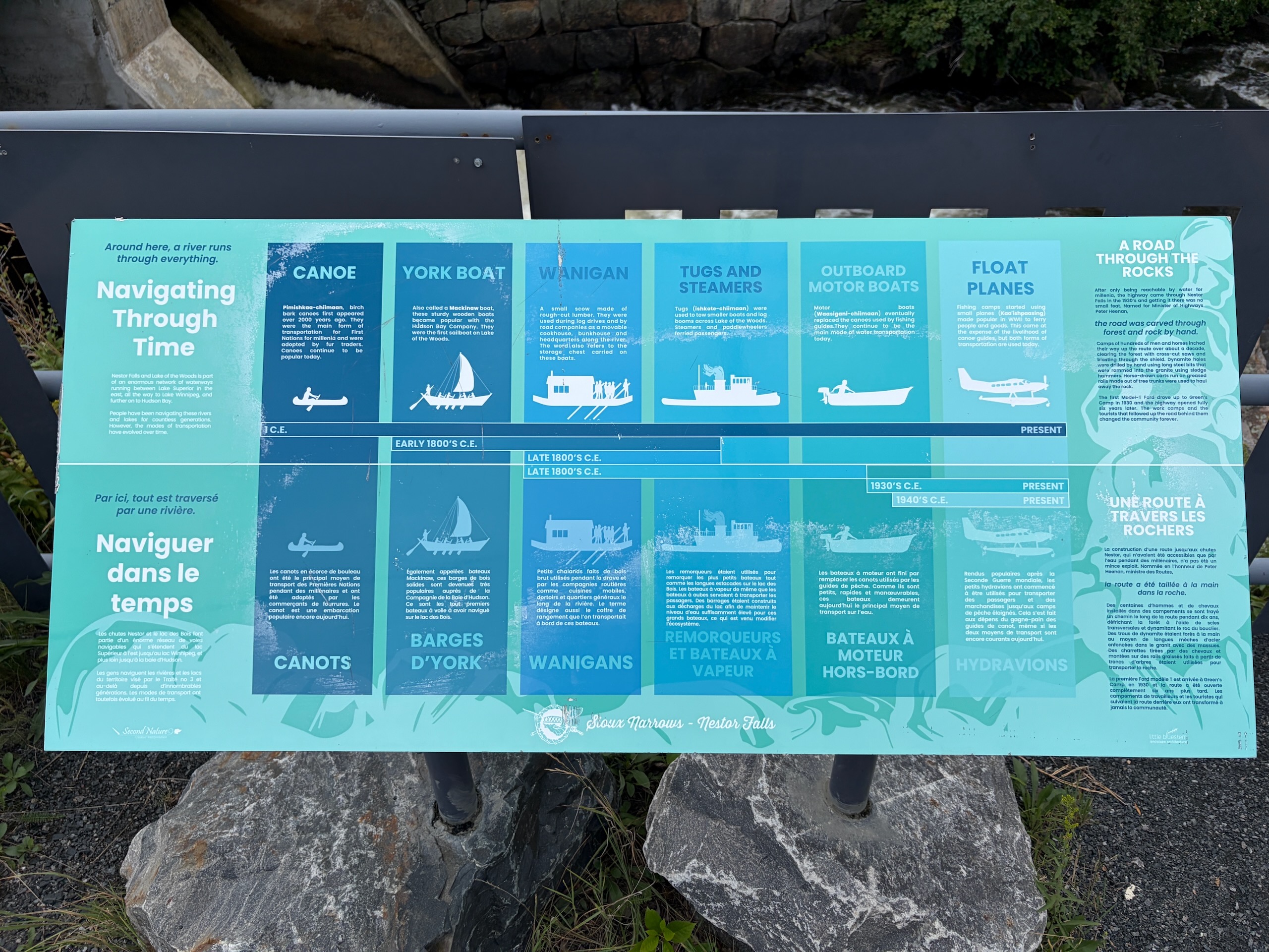
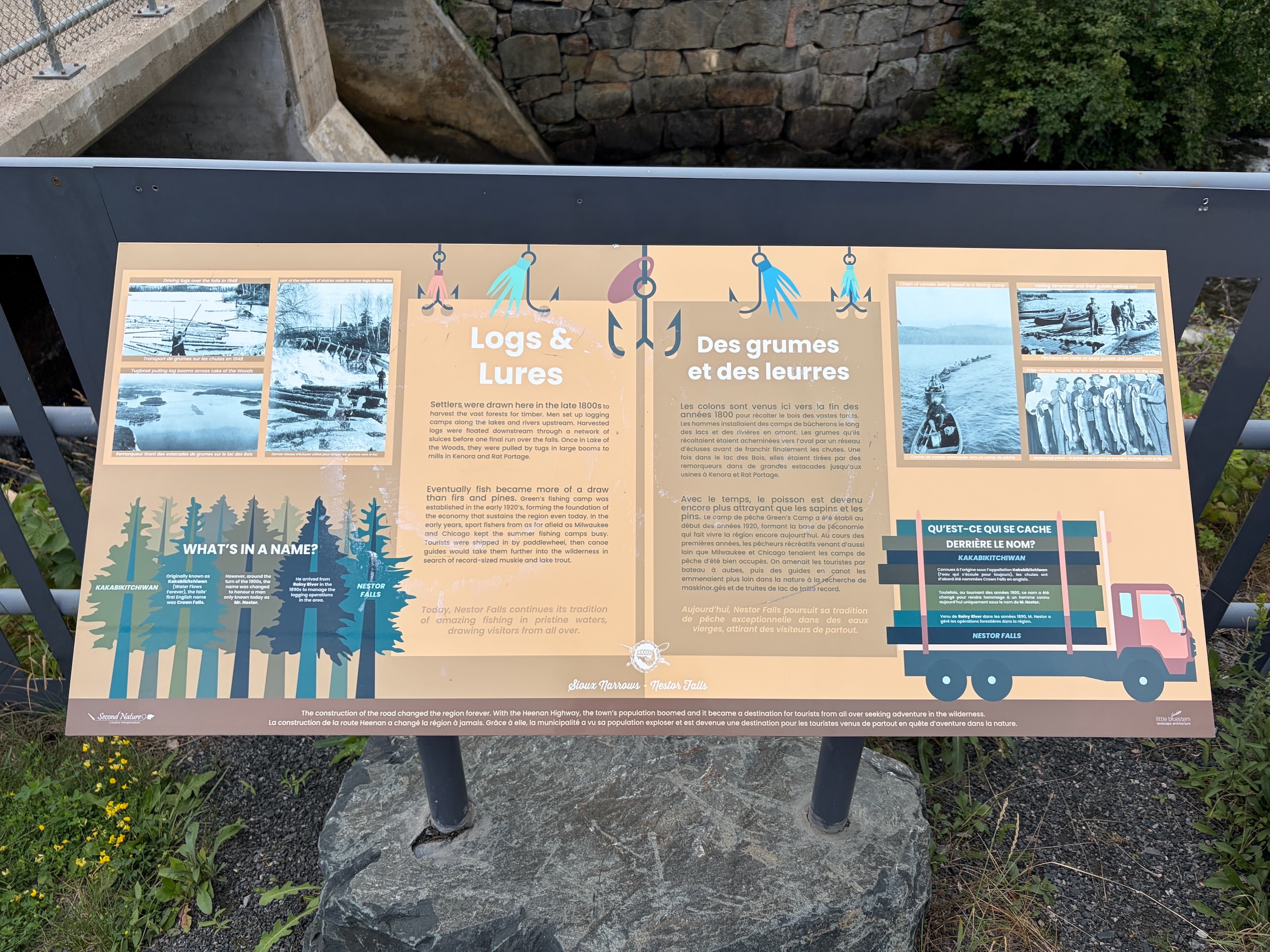
The most interesting history we found here was not online. It was on the interpretive panels beside the falls.
According to those local panels, an early name for the falls was Kakabikitchiwan, translated there as “water flows forever.” The falls were later known in English as Crown Falls, and the name Nestor Falls is connected to a Mr. Nestor who arrived from the Rainy River area in the late 1800s and became involved in local logging operations.
The older name has not disappeared. Kakabikitchiwan Lake is still right beside the village today.
This is one of those places where the signs are worth reading. Without them, you see water and a highway bridge. With them, the location of the settlement begins to make sense.
From logging to fishing camps
For much of Nestor Falls’ history, the central problem was how to move people and material through a landscape with far more water than road.
The panels at the falls describe logging camps, logs moved through the interconnected lakes, and timber eventually hauled across Lake of the Woods. Fishing tourism later became increasingly important. Green’s Camp was bringing anglers into the area in the first half of the twentieth century, long before the modern road-trip infrastructure we take for granted now.
Another panel traces transportation from canoes and working boats to tugs, motorboats and, eventually, float planes.
That last part is not history behind glass. It is still happening every day.
Why are there so many float planes here?
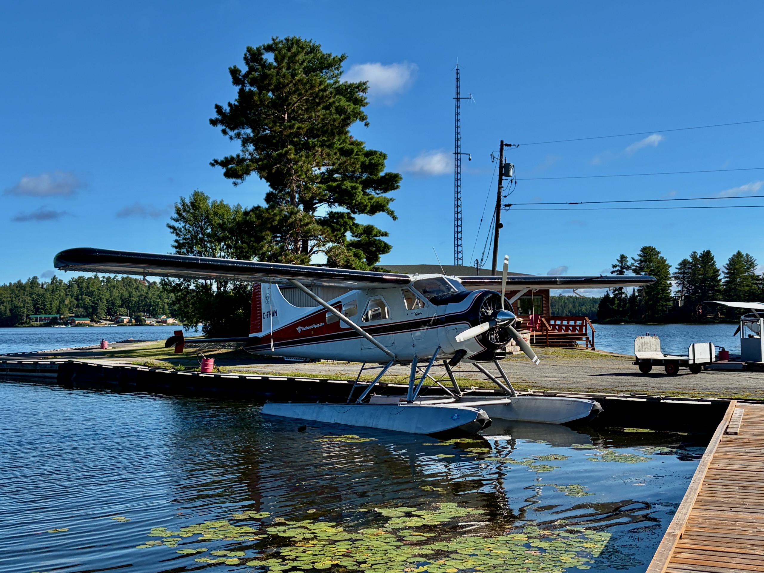
We noticed the aircraft on our way to the falls. On the way back, we stopped near Northwest Flying Inc. simply to watch.
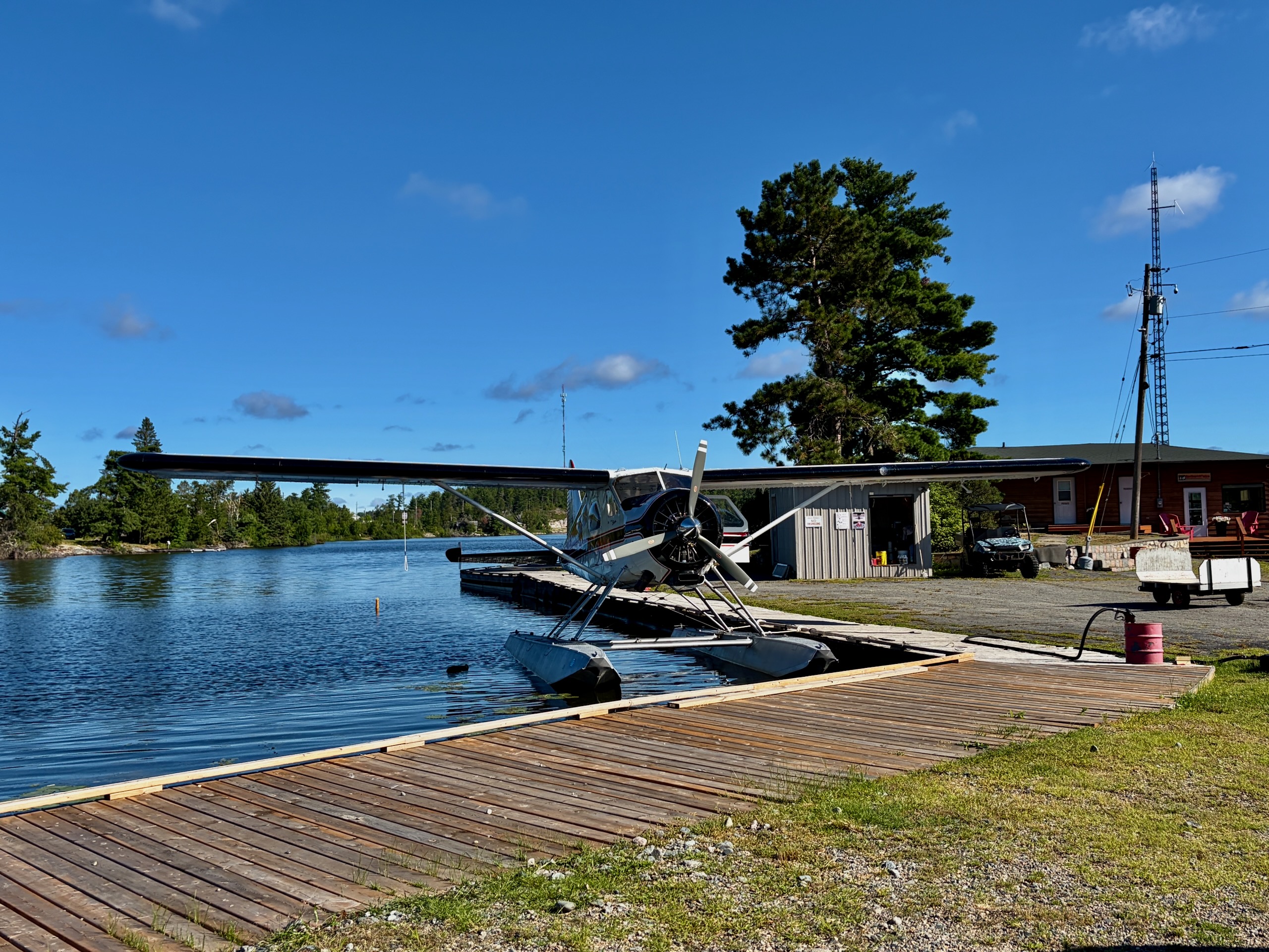
One plane was sitting on floats beside a wooden dock among the lily pads. While we were taking photos, another started its takeoff run: a long rush across the water, the engine climbing in pitch, and then it was above the trees.
Northwest Flying has operated from Nestor Falls for decades. The company’s own history traces its roots to Red Swanton’s Clearwater Air Service in the early 1950s and describes the present operation as an air service working since the early 1960s. Its current charter fleet includes a Cessna 180, two De Havilland Beavers and Beech 18 aircraft used for remote fishing access, charter work and sightseeing.
The other major operator is Nestor Falls Fly-In Outposts. Its published fleet includes two turbine De Havilland Otters, a De Havilland Beaver, a Cessna 206 and a Cessna 185.
In a place like this, a float plane is not merely a tourist attraction. It is transportation to lakes and outpost cabins with no road access.
We did not fly this time. Nika was with us, and we were not comfortable leaving her alone. If we return without that restriction, a short sightseeing flight is high on the list. Check directly with the operator before planning around one; working charter and fishing flights come first.
The recreation area beside the falls
A small day-use area sits right beside the water with picnic tables, benches and a children’s playground. It is not a large park that needs half a day, but it is an excellent stop on Highway 71.
We had expected to look at the falls quickly and move on. Instead, we stayed longer than planned and simply sat listening to the water.
The upper area around the parking and viewpoint was almost level during our visit. The route down over natural rock was a different story — uneven and slippery after rain.
Helliars Resort: the stop we kept making
Our most useful Nestor Falls discovery happened because something went wrong.
On our first evening, the batteries in the projector remote died. We tried Clarke & Crombie Tourist Camp and Motel first, then drove to Helliars Resort.
From the road it looks like a small gas station. Inside we found food, tackle, souvenirs, clothing, ice, forgotten-trip essentials and surprisingly good ice cream. During our five days in the area, we ended up returning several times.
For a full grocery shop, I would still buy in Winnipeg or Kenora. Helliars became our “we forgot one thing and need to save the evening” store.
When should you visit?
We visited on August 5, 2026, after several rainy days, and saw the falls running strongly. That is the season I can describe from direct experience.
Summer is convenient because seasonal tourism businesses and the aviation operations are active, but the mosquitoes and biting flies are real. Bug spray was part of our routine on this trip.
If we return, I would be tempted by September for fewer insects and the first fall colour. We have only visited in August, though, so I cannot describe September conditions from experience.
Who should stop in Nestor Falls?
If you are already travelling Highway 71 between Kenora and Fort Frances, Nestor Falls is an easy stop with almost no detour. Aviation people can see an active float-plane operation. Families can take a short picnic break beside the falls. And if you are expecting a huge classic waterfall with a tall vertical drop, it helps to know in advance that this is not that kind of place.
Next time, we would give Nestor Falls a proper hour instead of trying to fit it in quickly.
Nestor Falls quick reference
| What | Details |
| Location | Highway 71, Northwestern Ontario, Lake of the Woods area |
| From Kenora | roughly 120 km south |
| From Fort Frances | roughly 95 km north |
| From Winnipeg | about 4 hours of driving on our route |
| Population | 727 in the entire Township of Sioux Narrows–Nestor Falls (2021 Census), not the village alone |
| Main stop | the short Nestor Falls cascade under Highway 71 |
| Float-plane operators | Northwest Flying Inc. and Nestor Falls Fly-In Outposts |
| Family stop | picnic tables, benches and playground beside the falls |
| Dogs | we visited with Nika on leash; keep dogs away from the fast water |
| Time to allow | about 45–60 minutes for the falls and a short walk; longer for aviation or a flight |
| Our visit | August 5, 2026 |